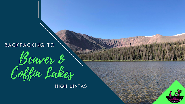
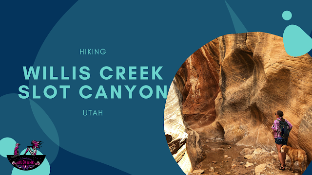
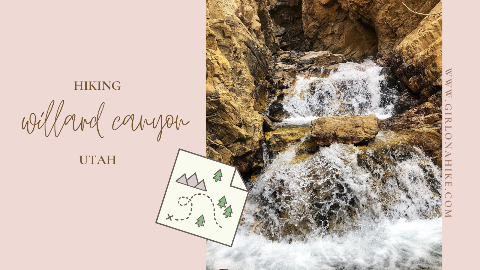
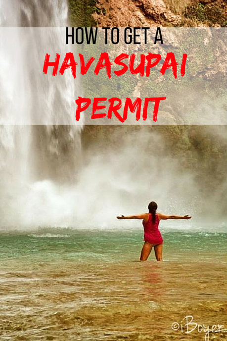
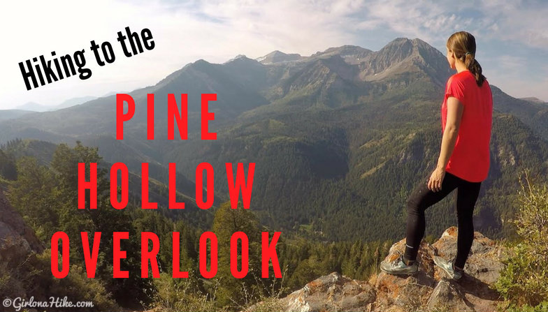
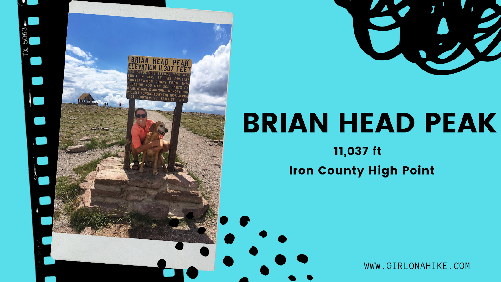
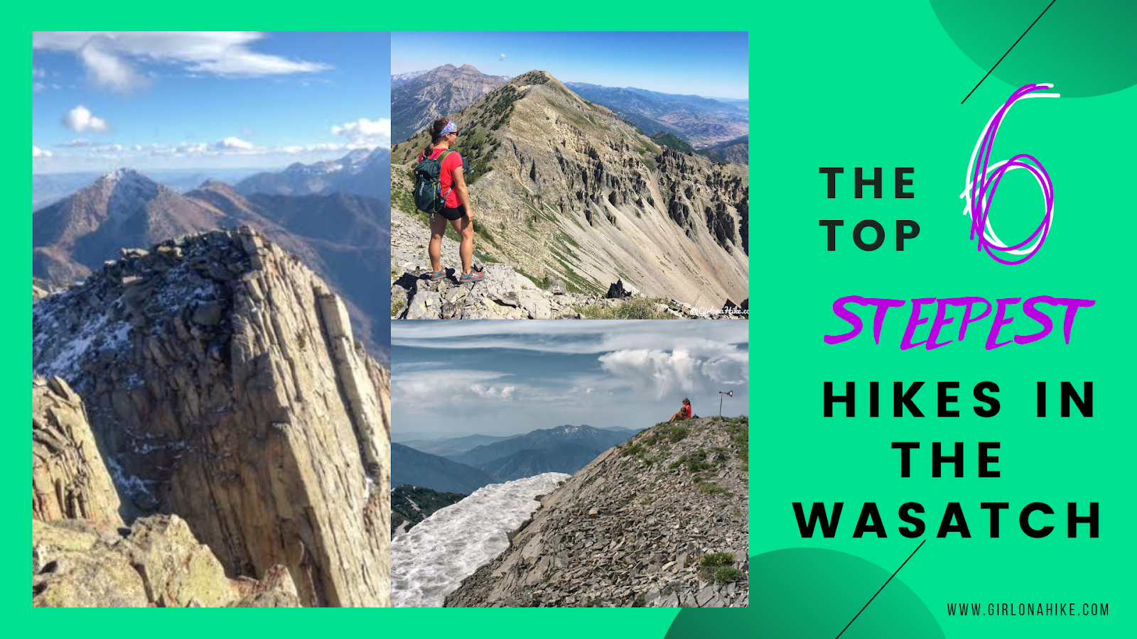
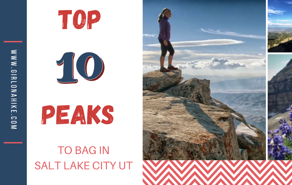
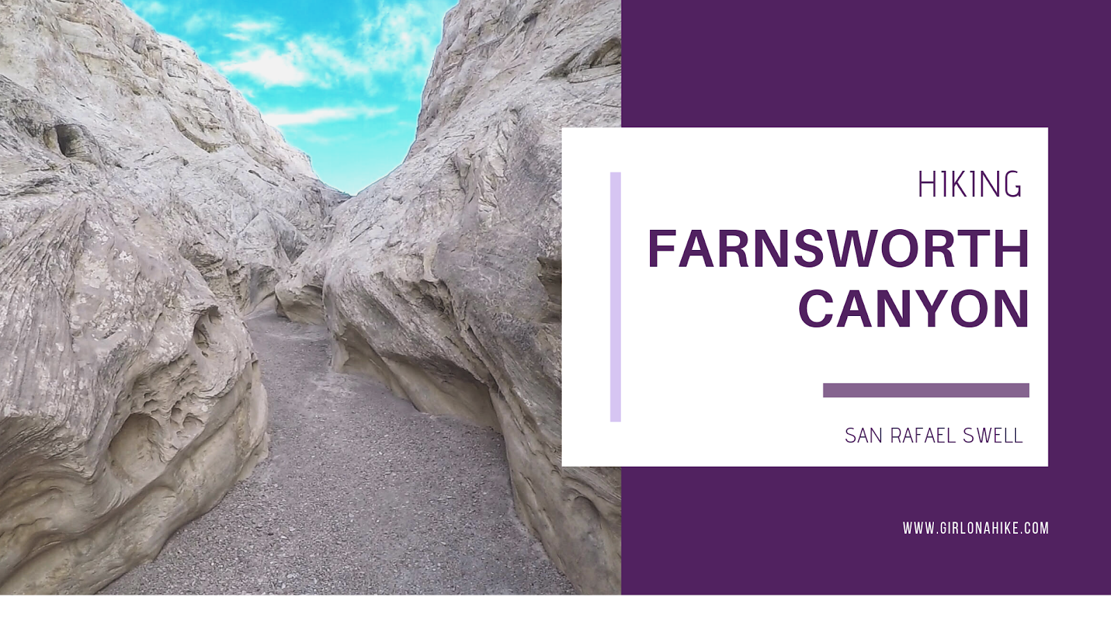
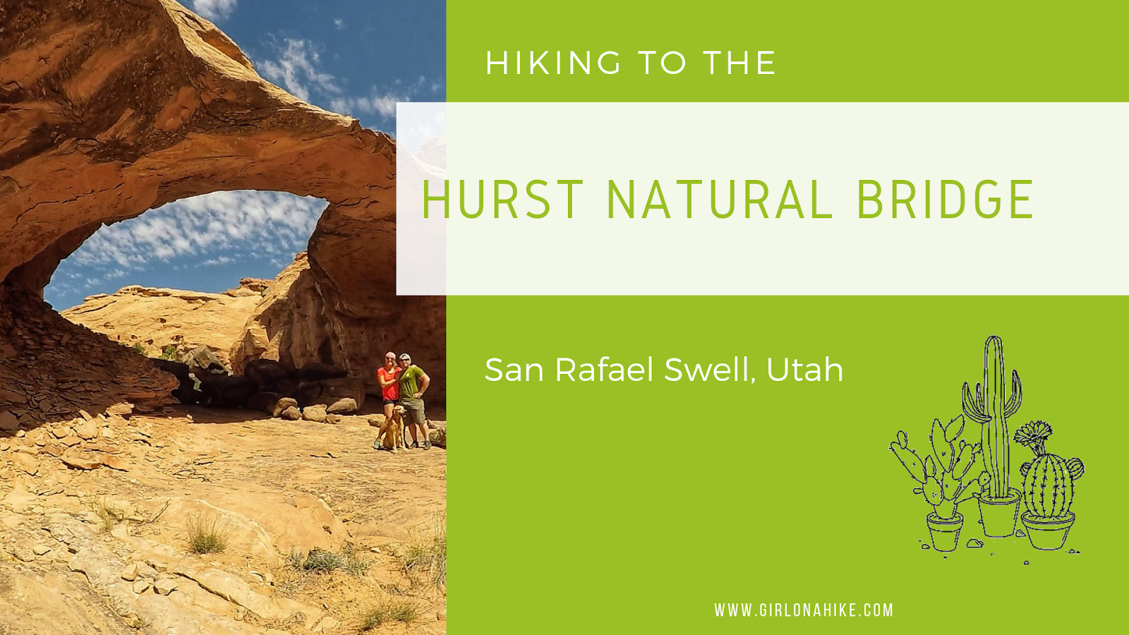
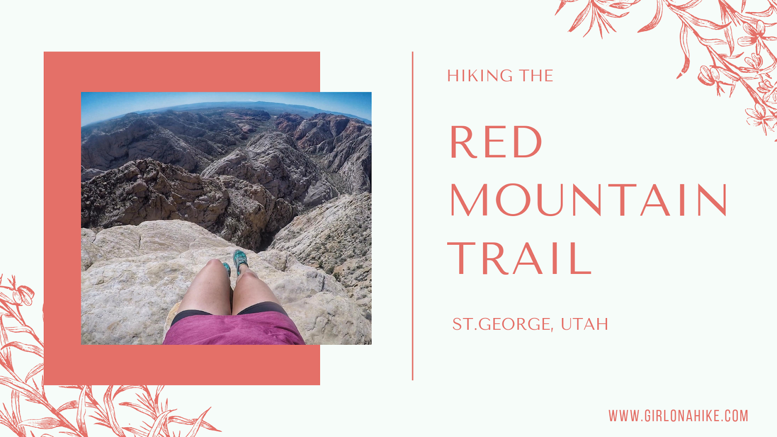
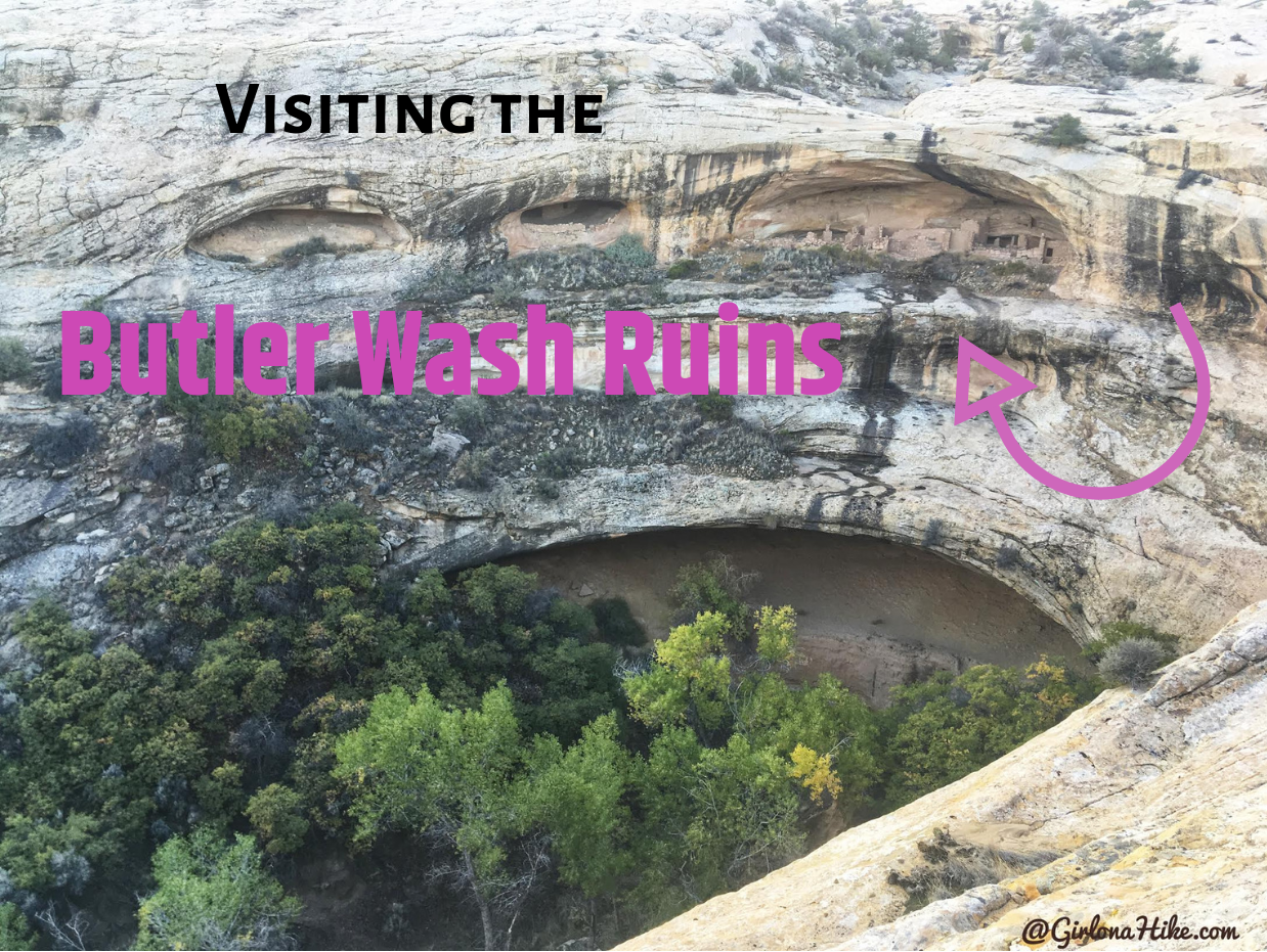
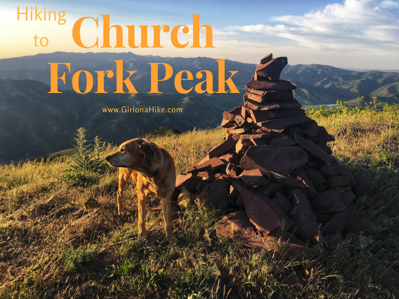
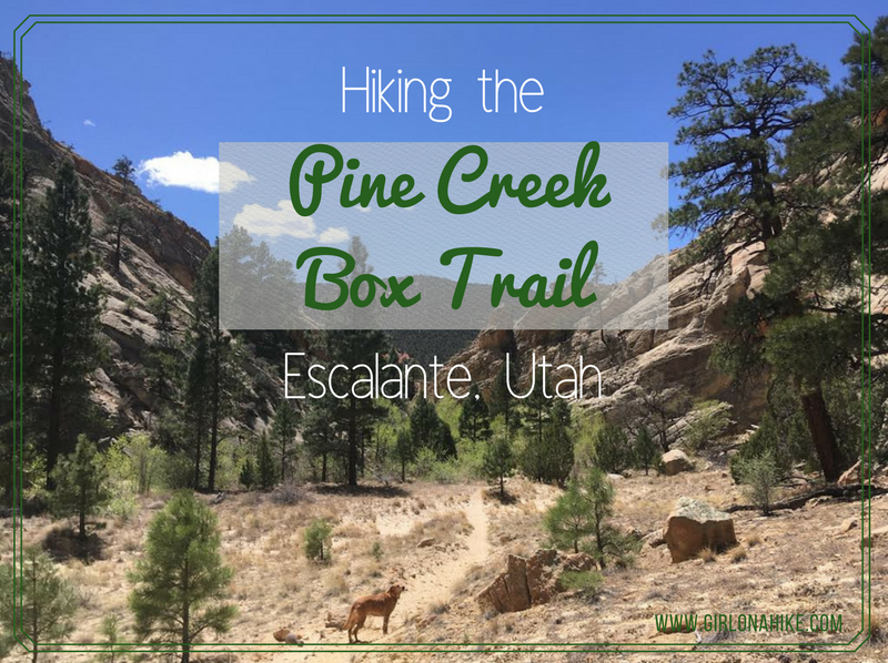
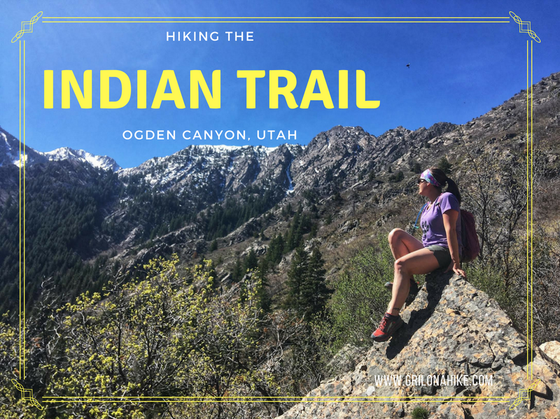
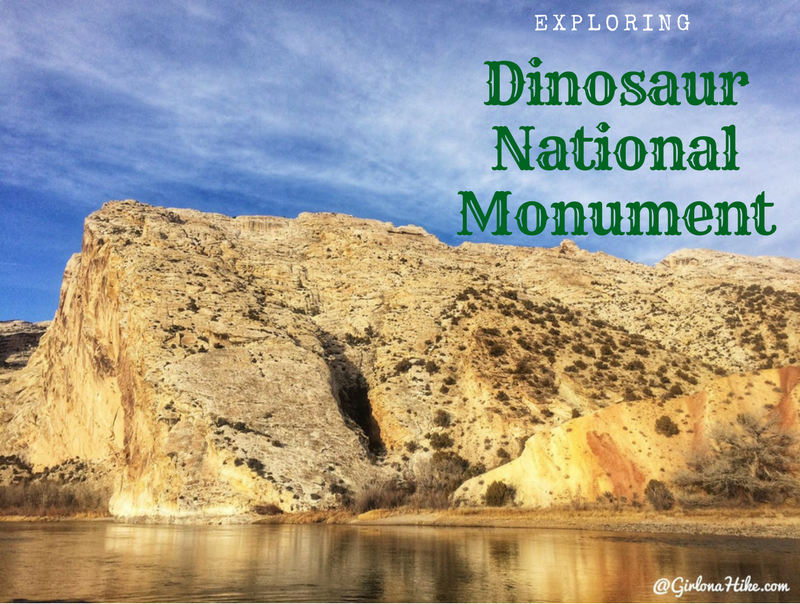
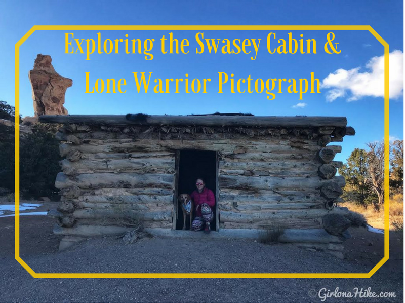
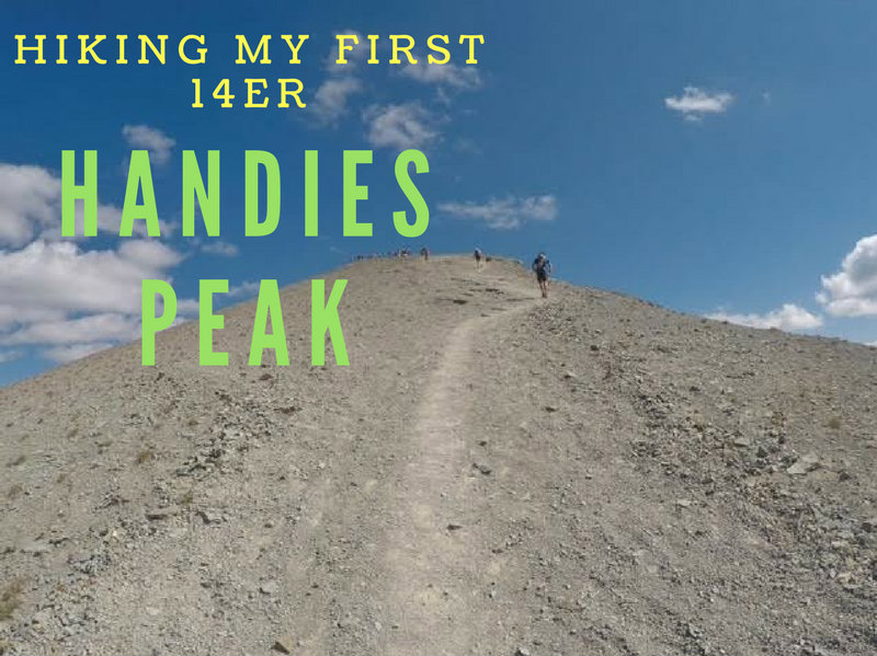
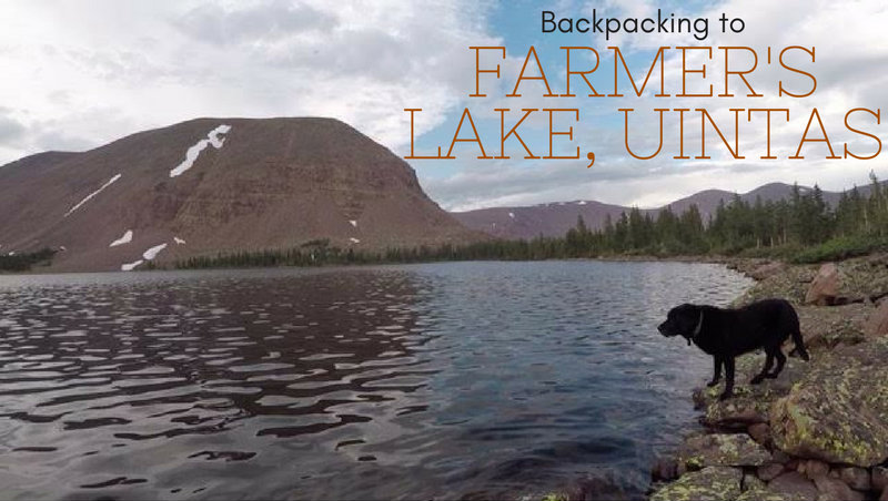
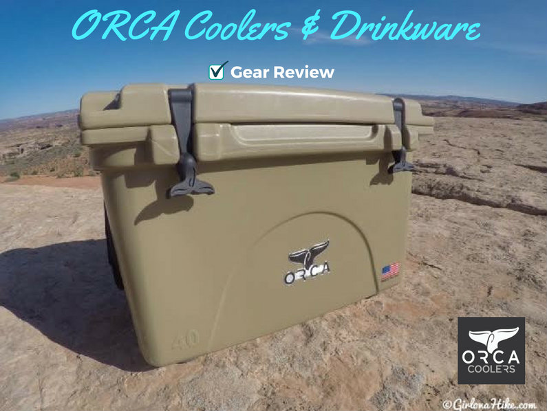
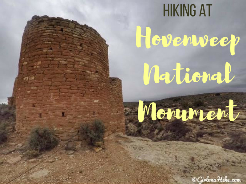
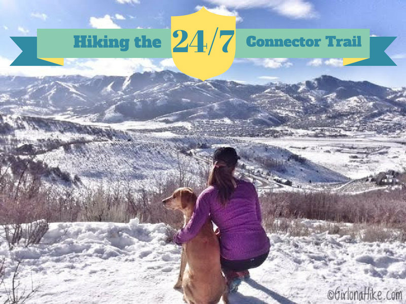
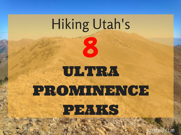
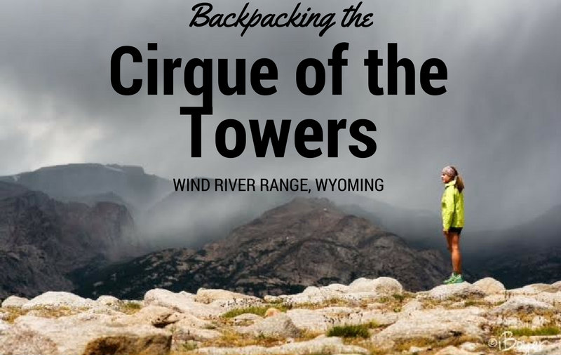
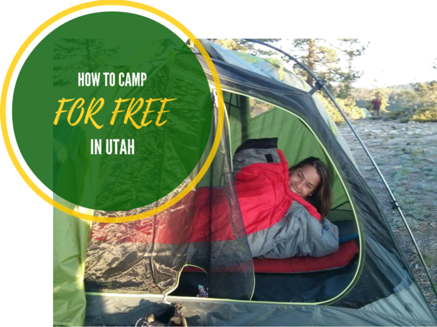
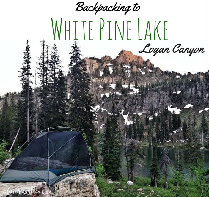
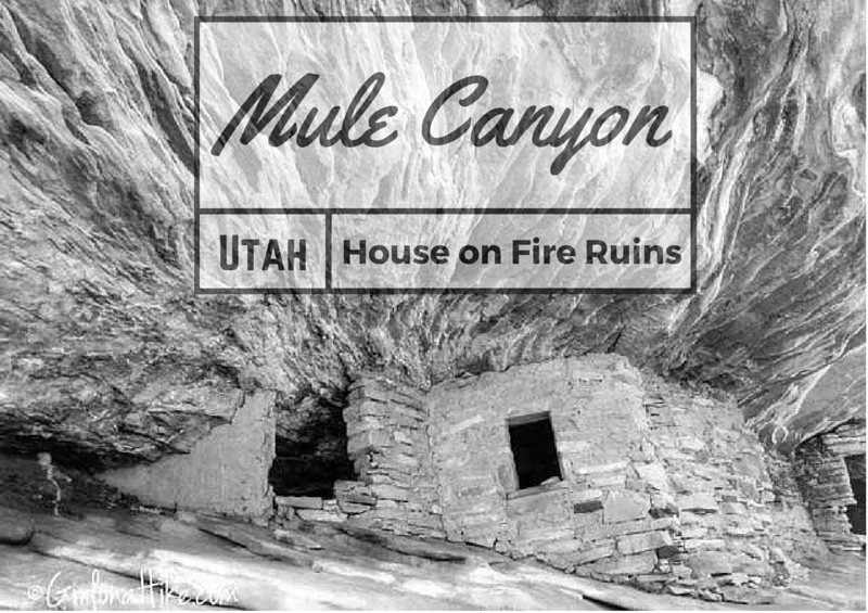
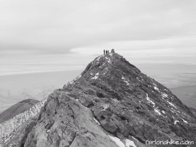
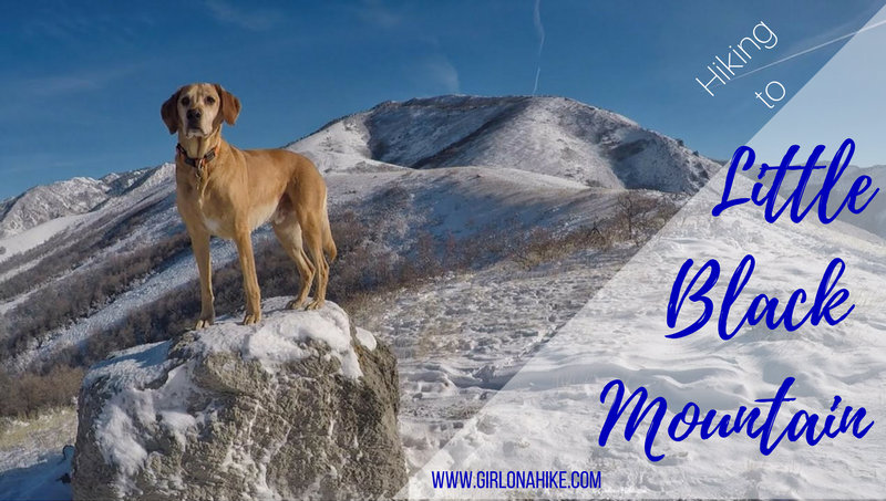
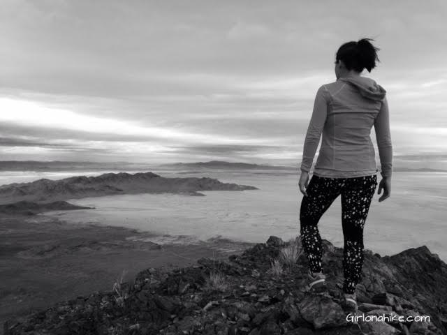
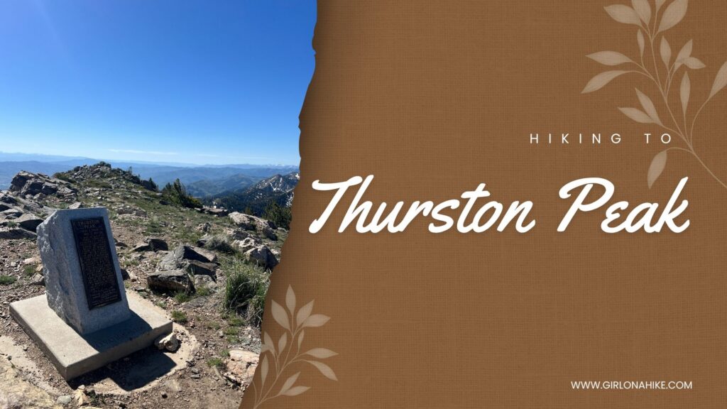
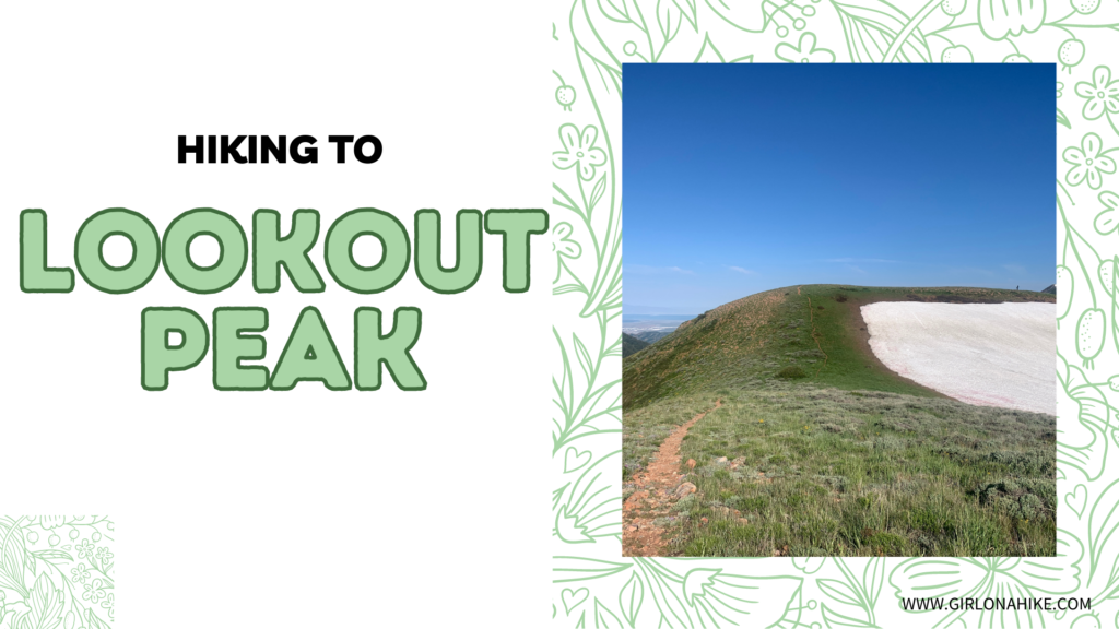
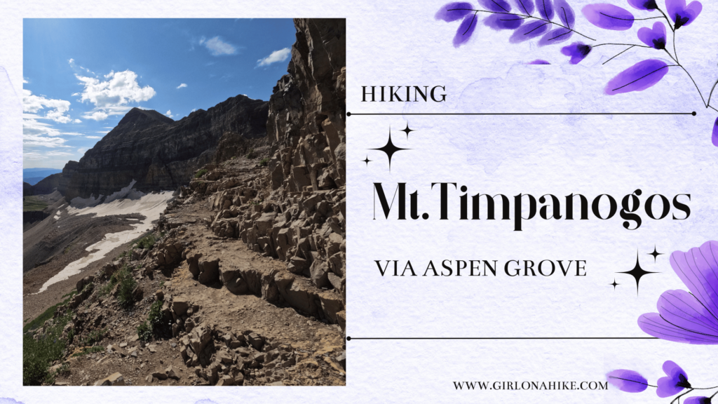
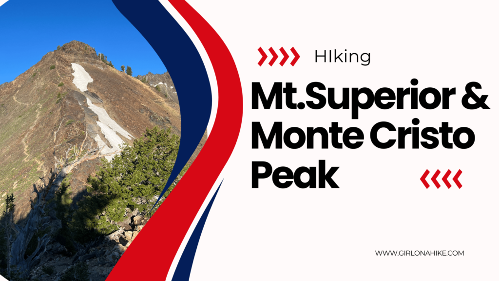
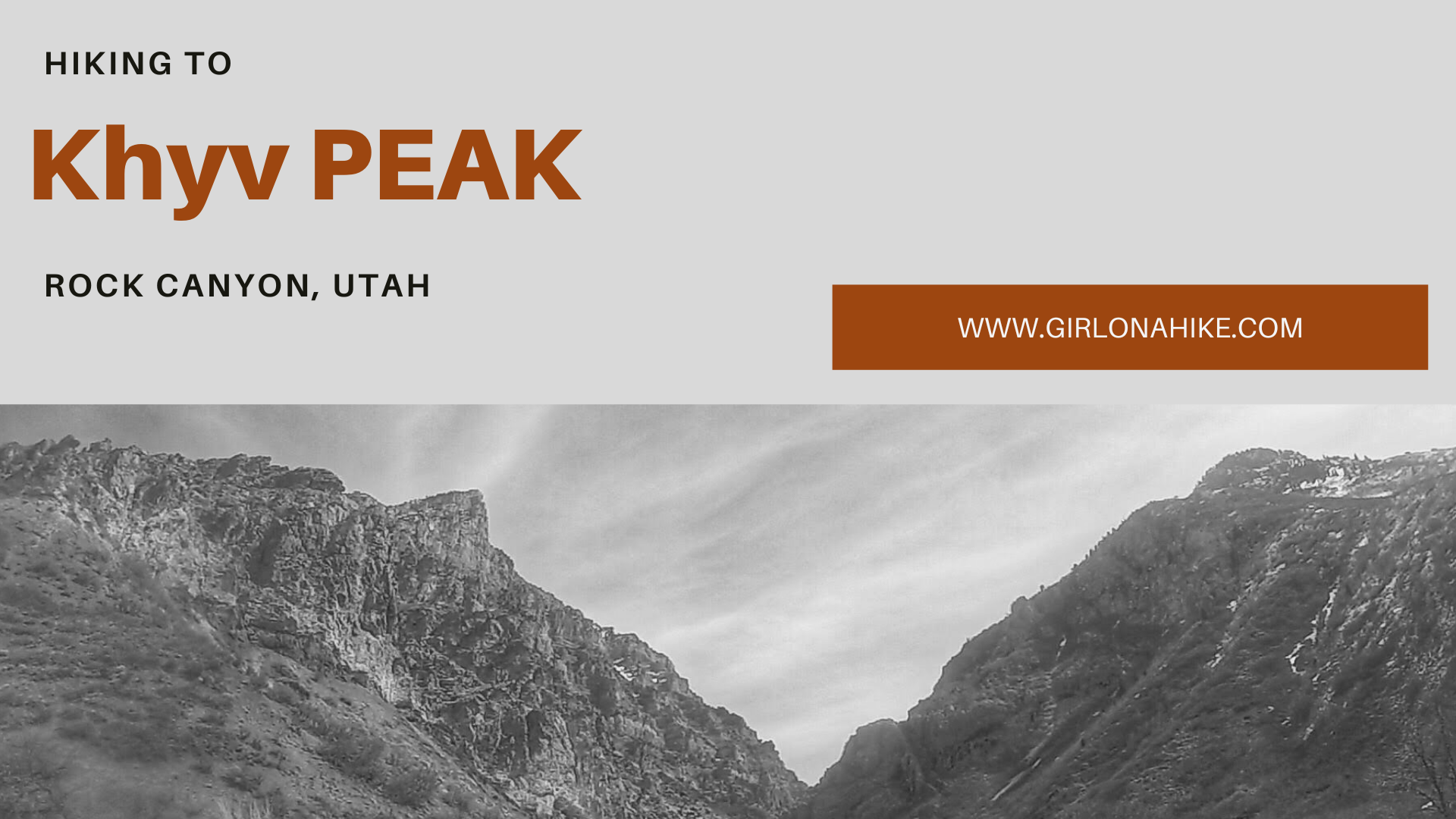
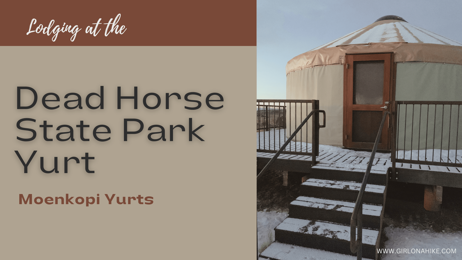
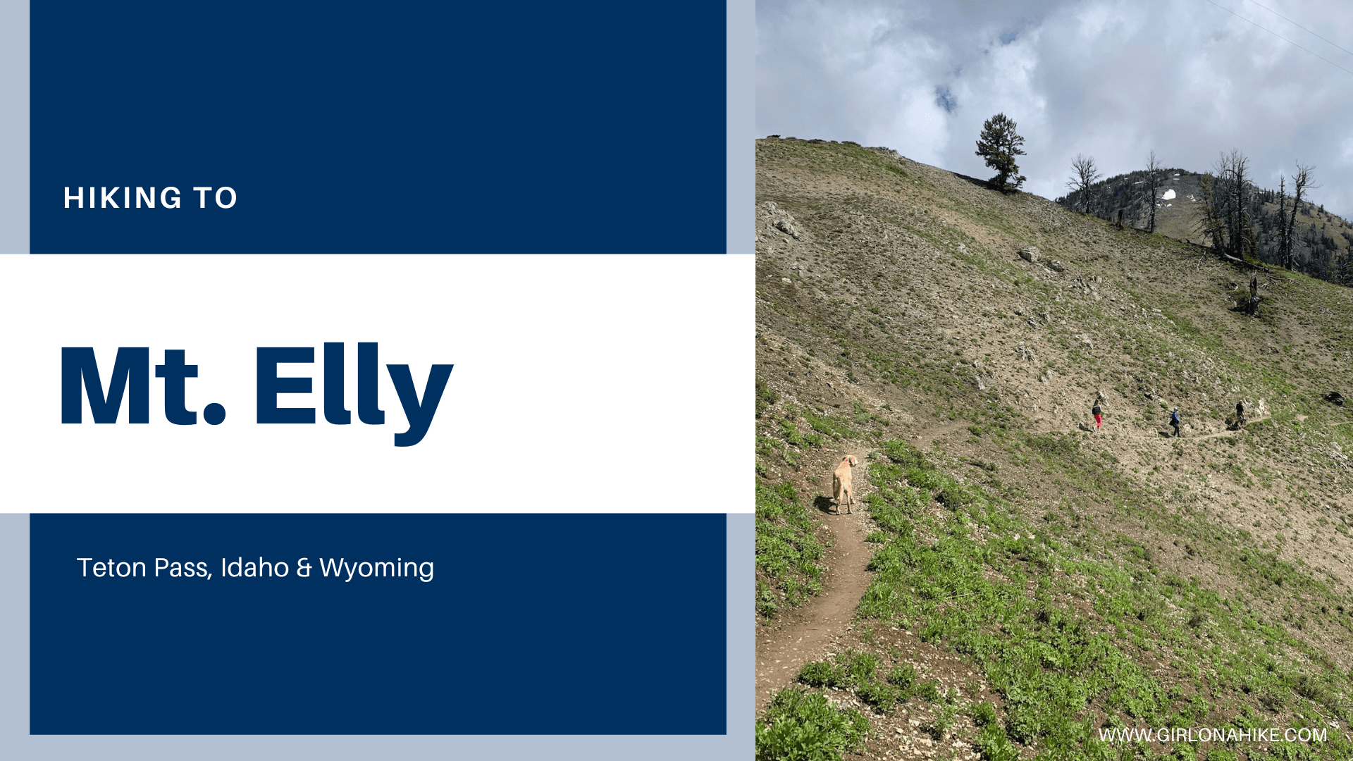
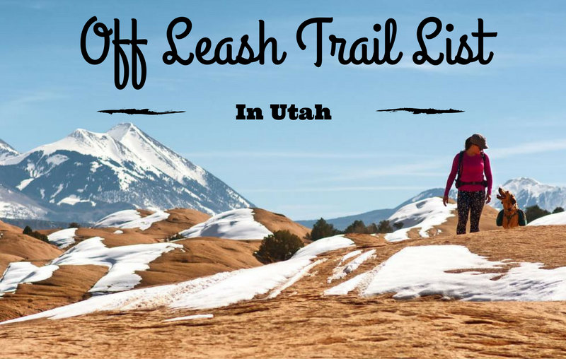
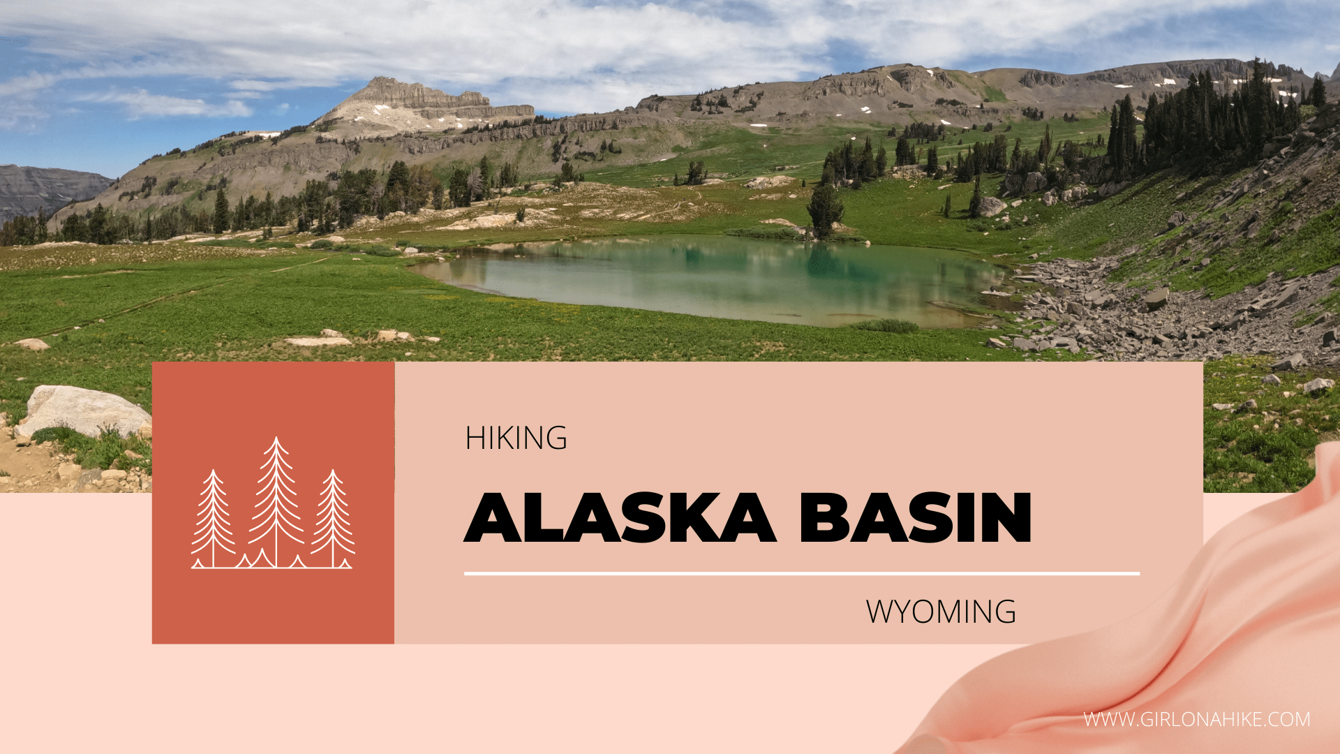
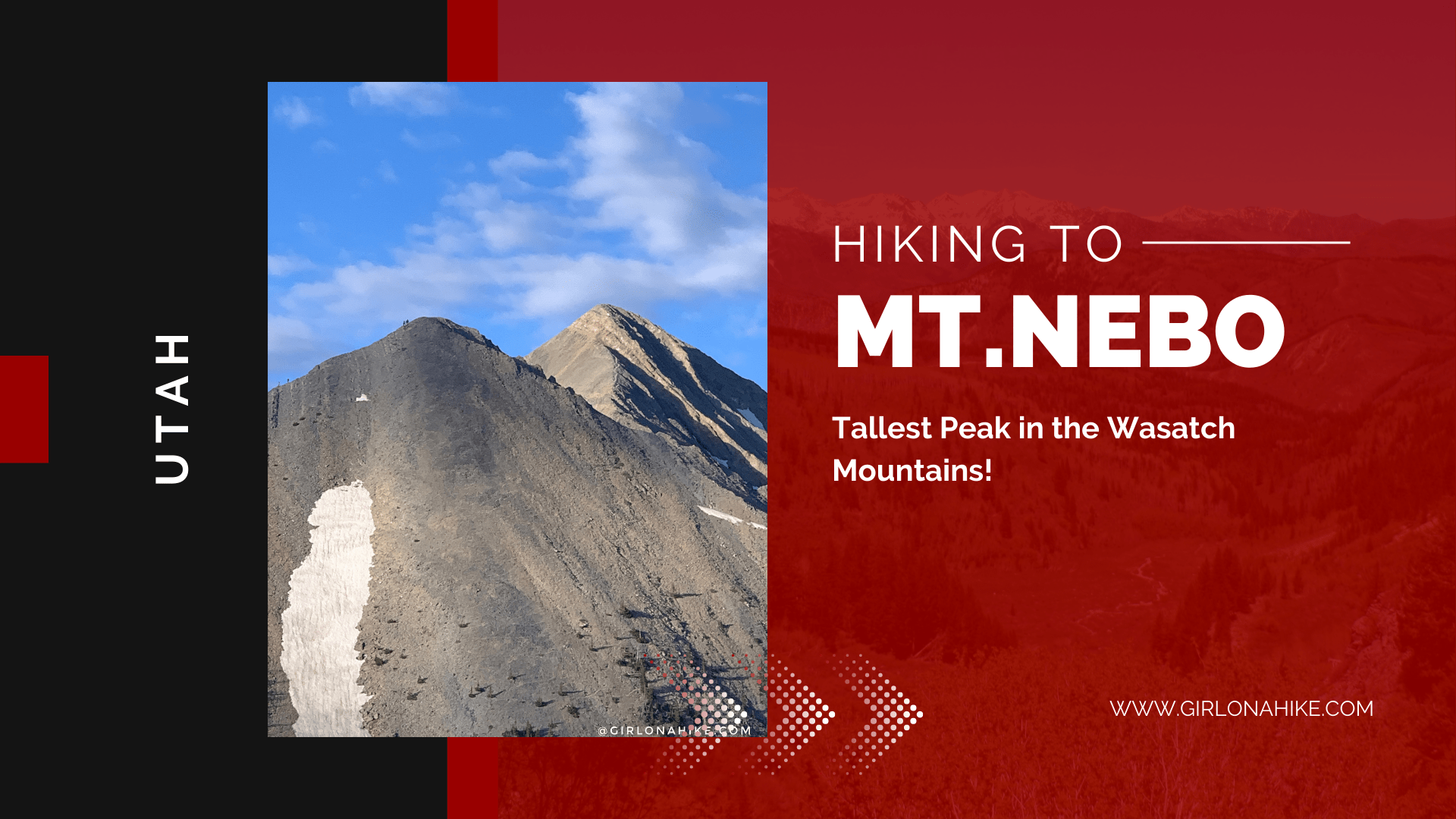
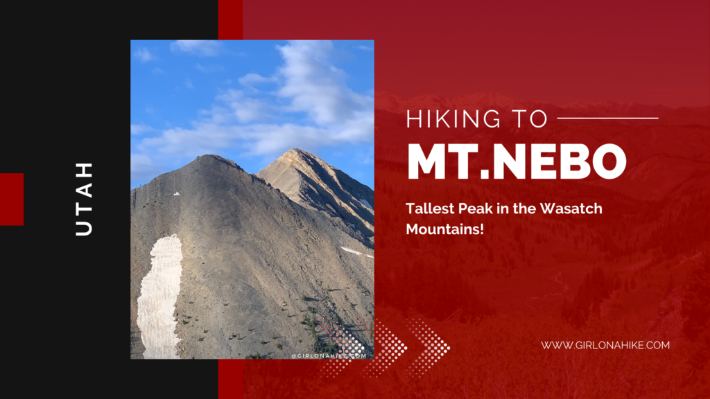
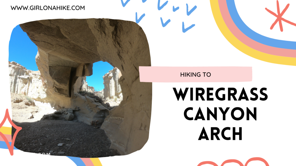
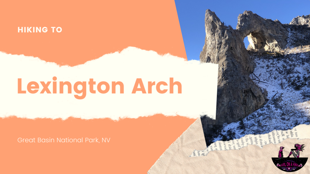
Hiking Utah's Ultra Prominence Peaks is not for the average hiker - many of these peaks require hiking off trail, very early morning starts (sometimes 3am), route finding, long days, crossing exposed ridge lines, extremely steep and rugged terrain, and sometimes a river crossing. In addition to these "fun" circumstances, I've also dealt with bad sun burns, running out of food, running out of water, reading the map wrong, forgetting socks, starting out too late in the day, ending after dark, getting annoyed by people I'm hiking with, and as the movies say, have experienced blood, sweat, and tears. So why do I keep doing it? What is the draw for people to complete Ultra Prominent Peaks?


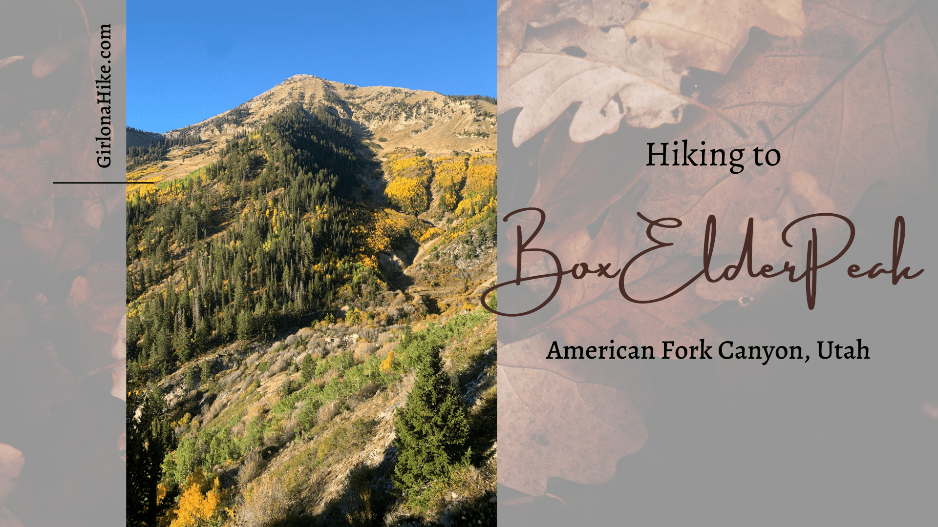
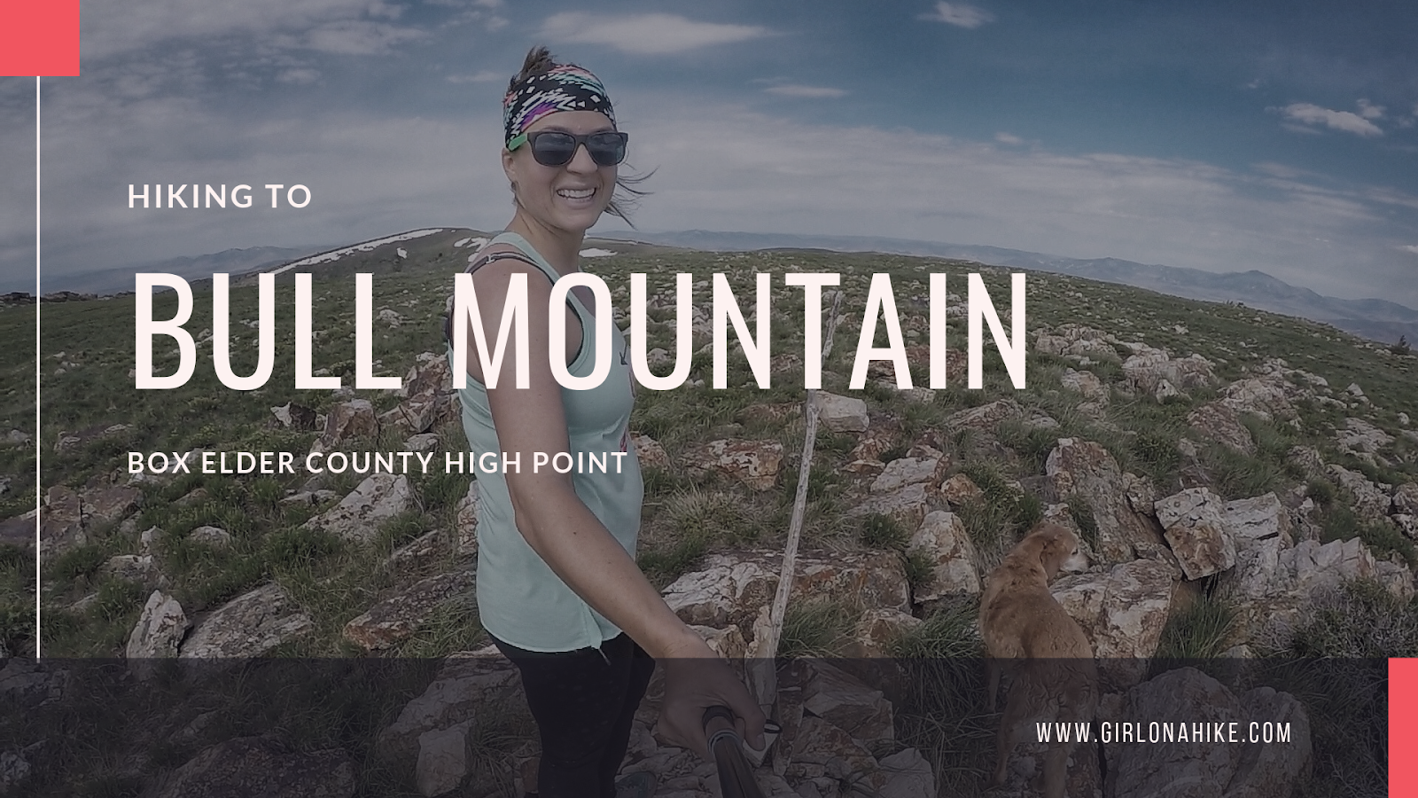
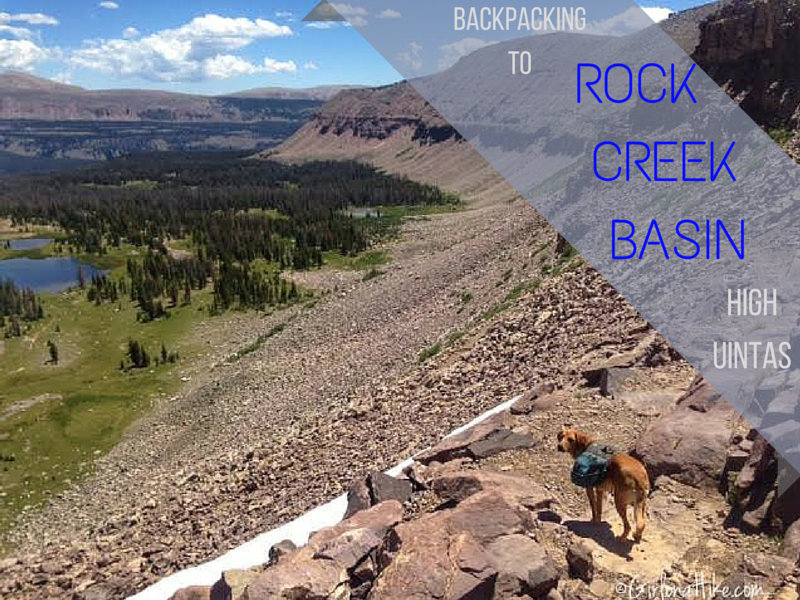
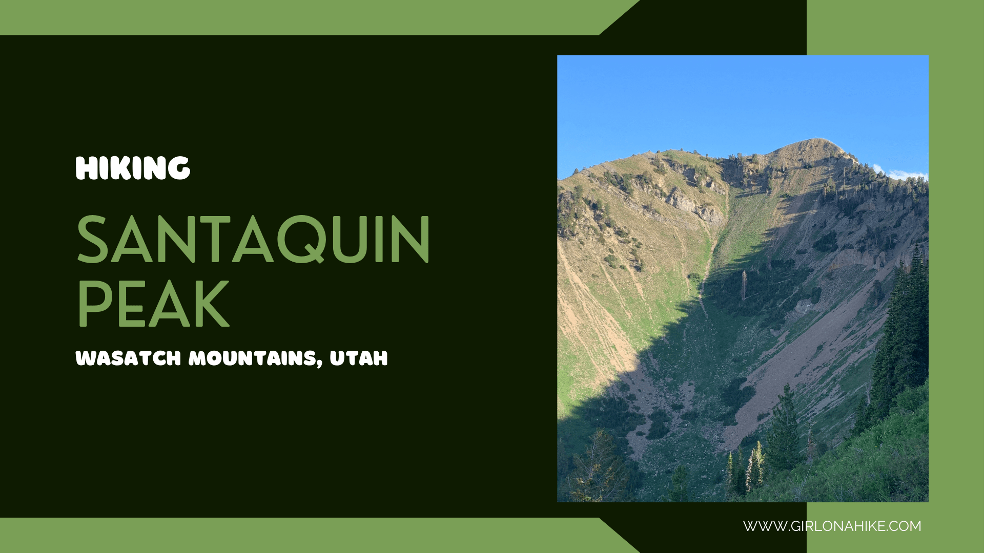
 Box Elder Peak (11,101 ft) is the large, well known peak in between


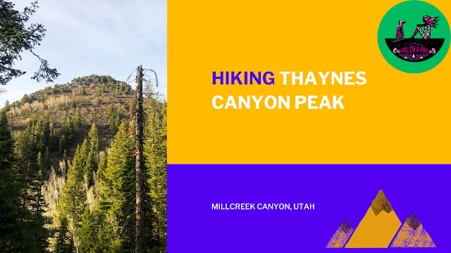
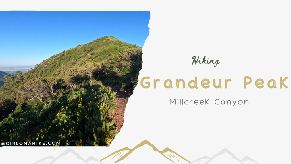
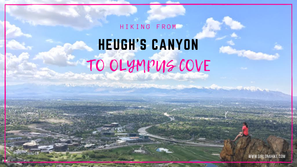
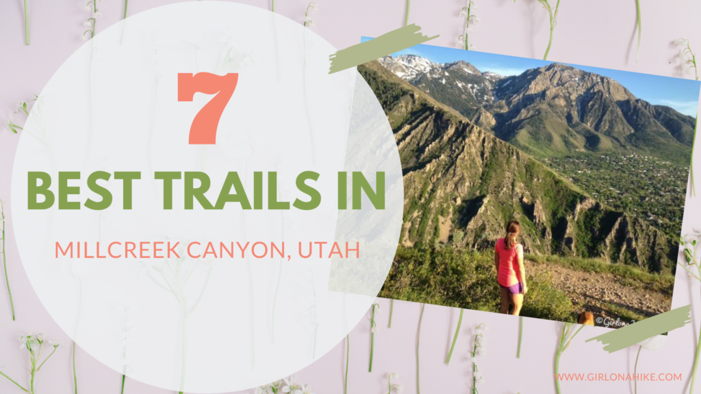
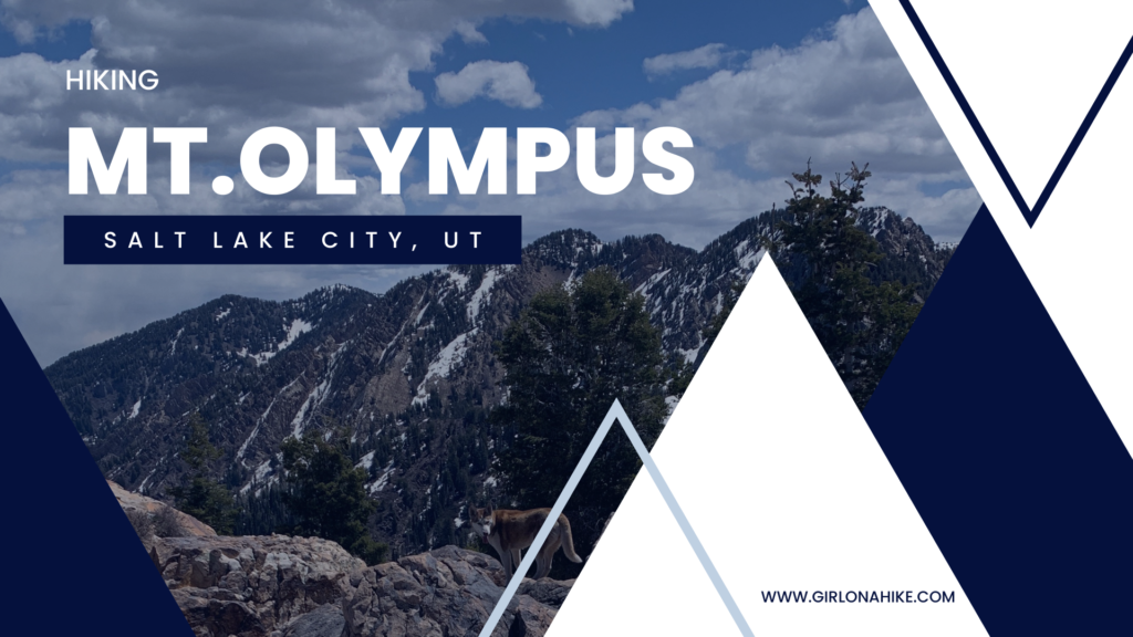 Mt. Olympus (9,030 ft) is the prominent peak above Murray/Millcreek, Utah and is recognizable from anywhere in the SLC valley due to its two long, rocky spines on the West face.


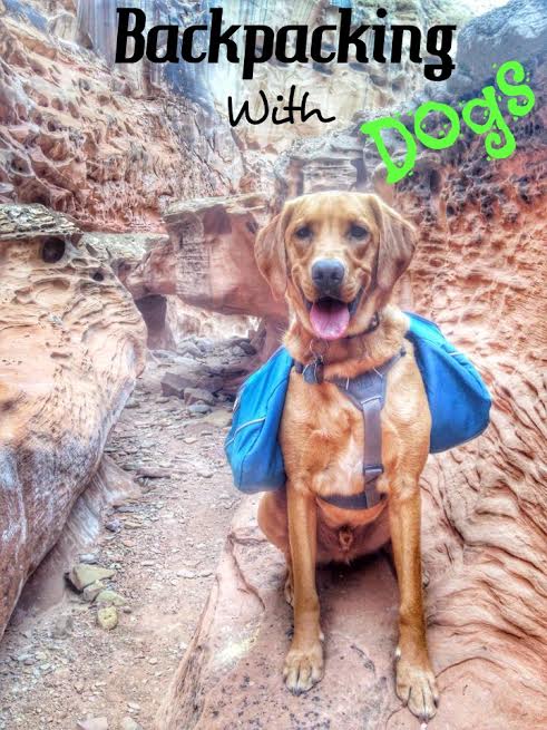
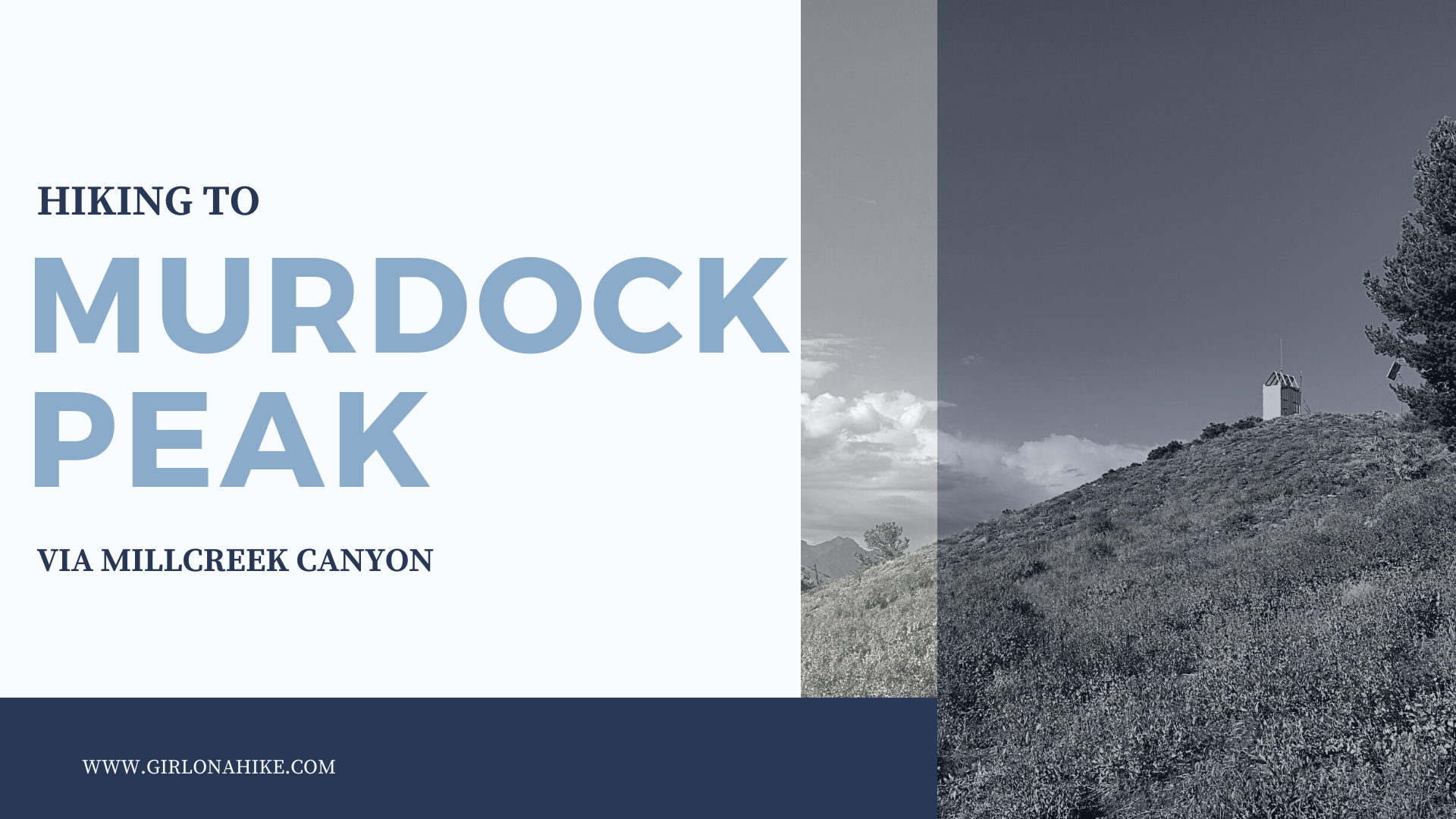
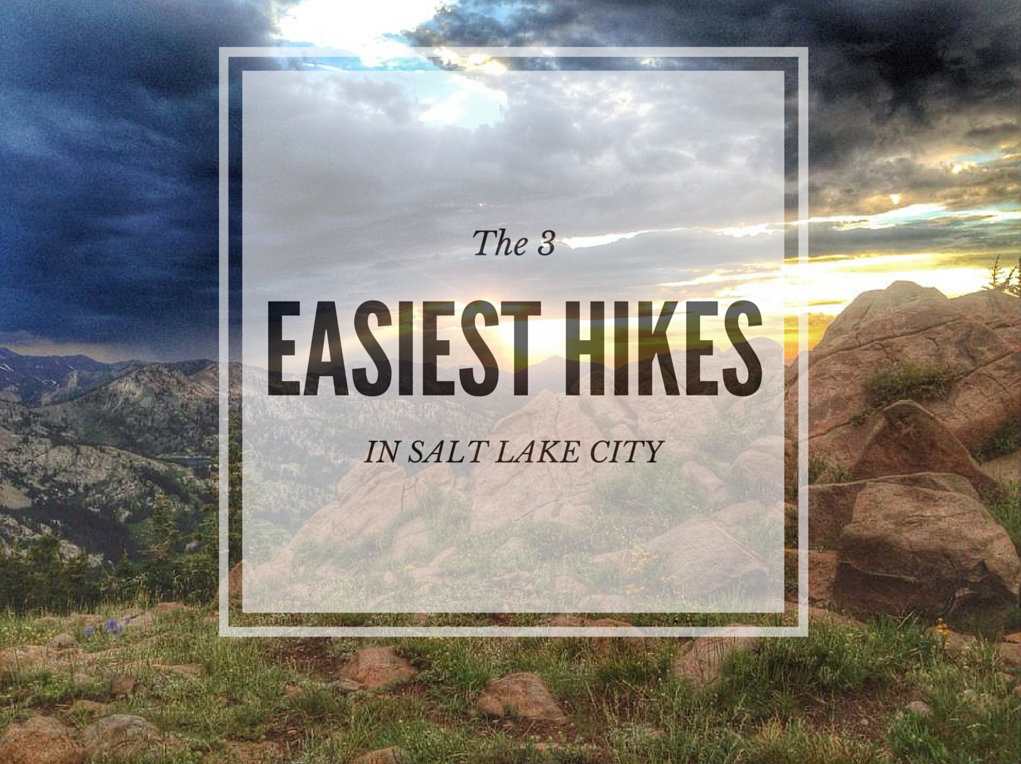
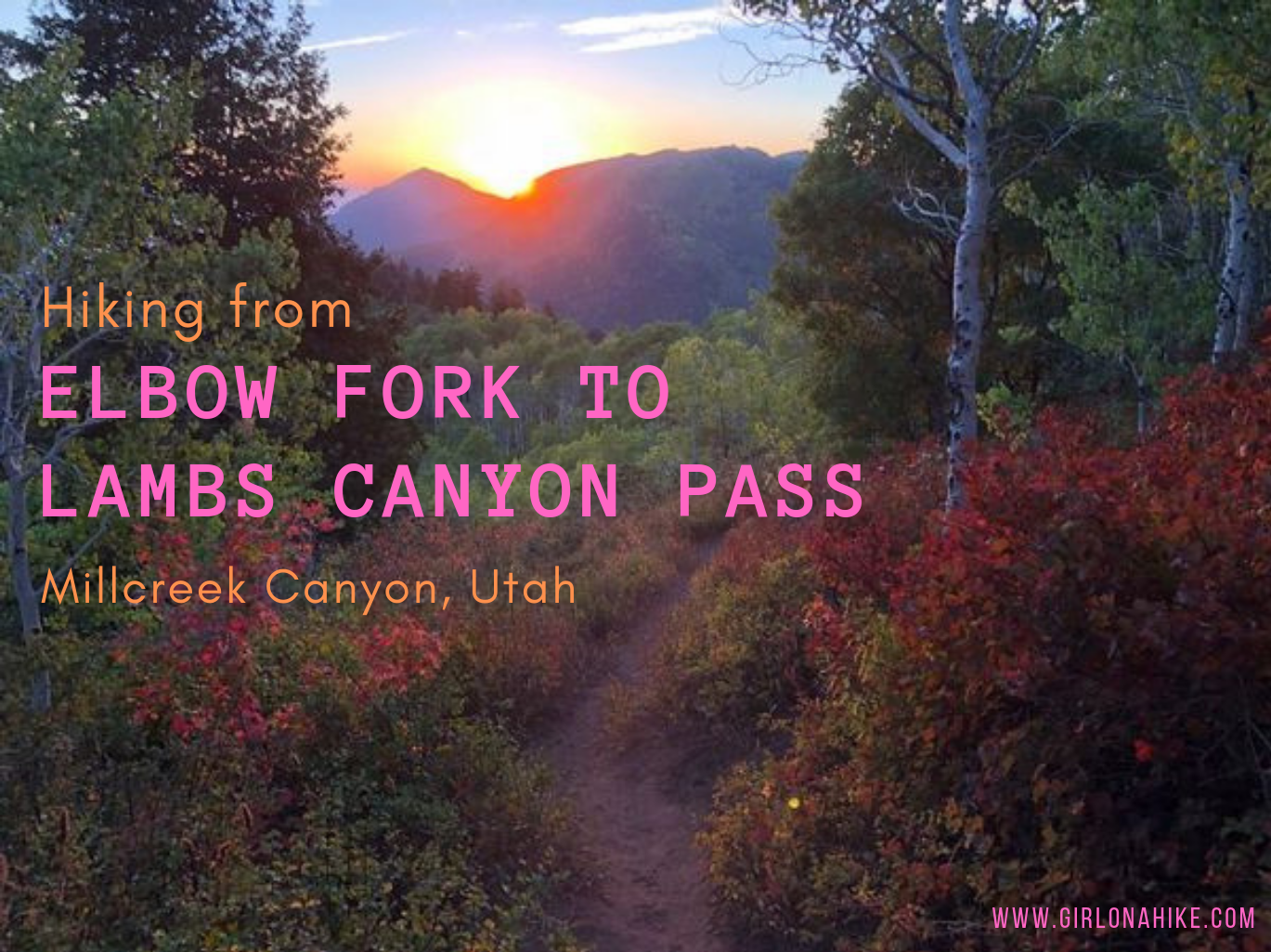
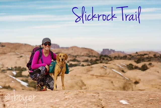
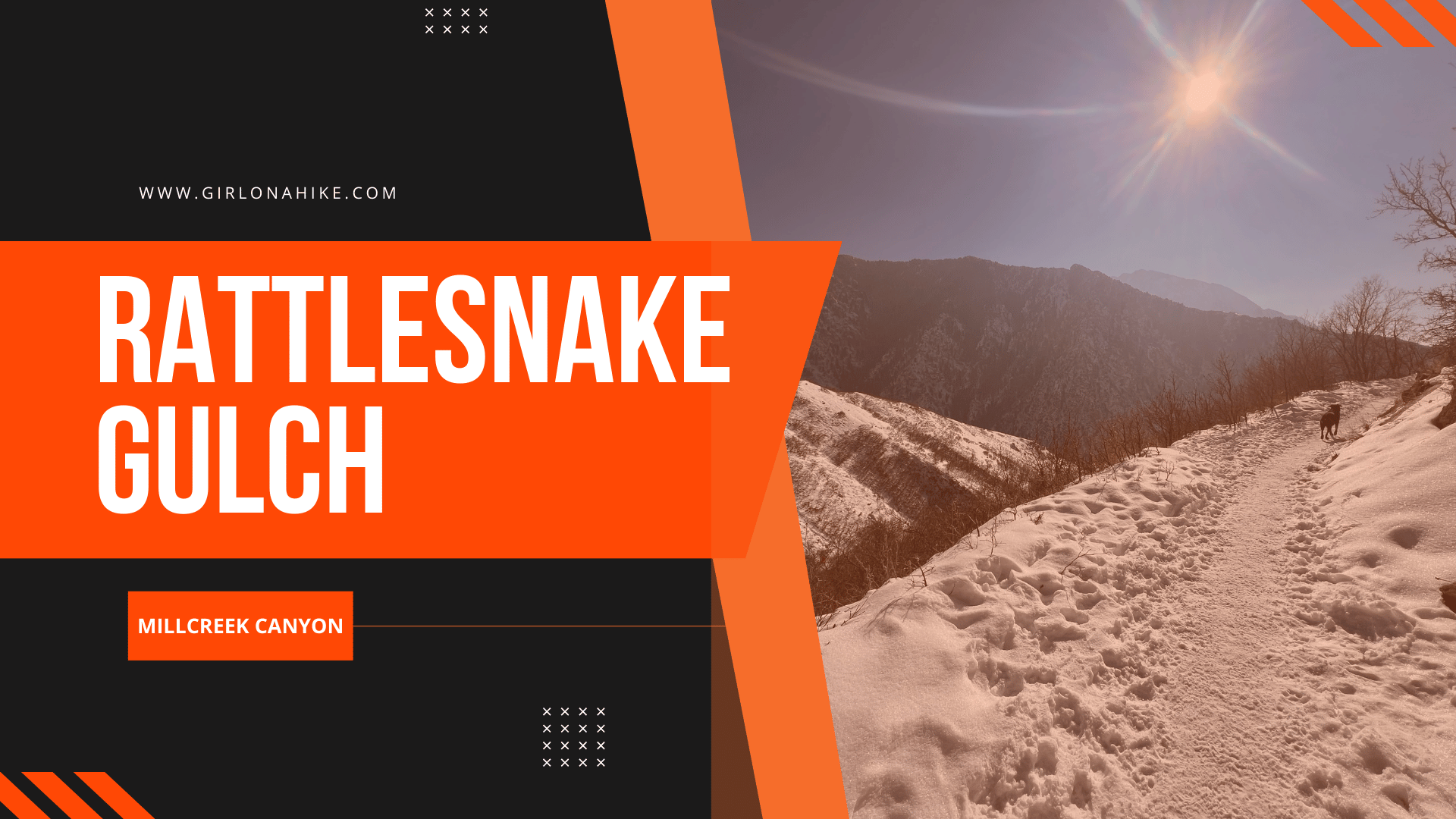
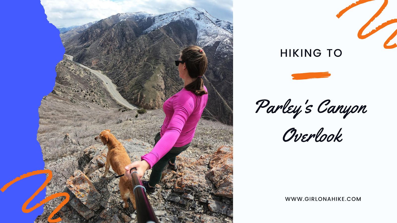
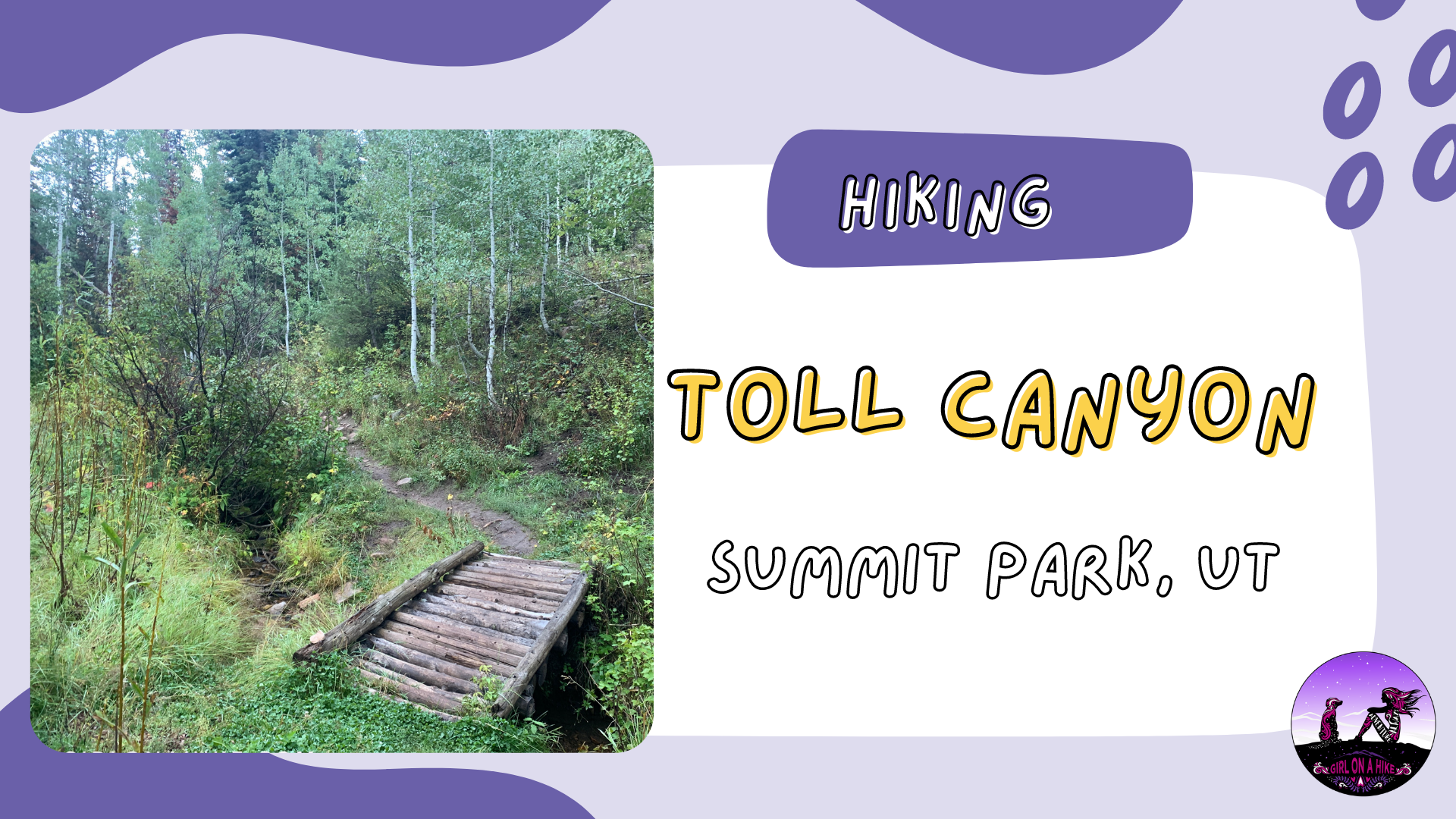
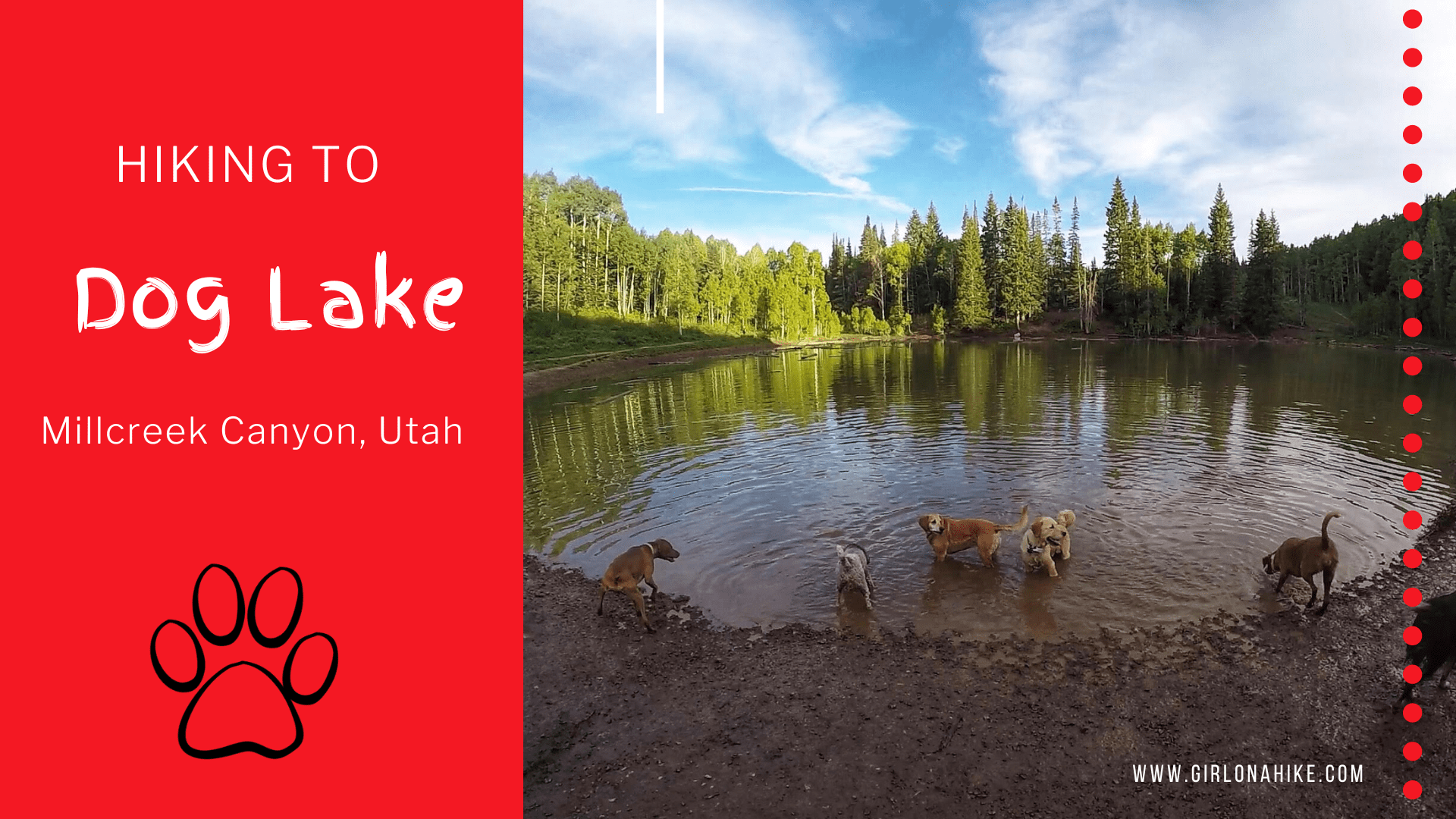
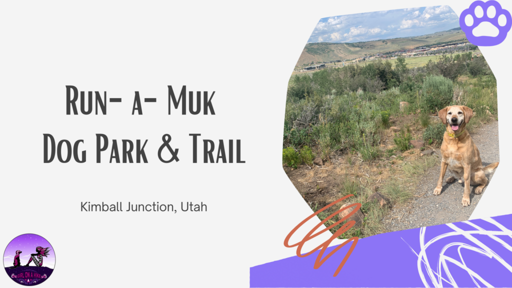
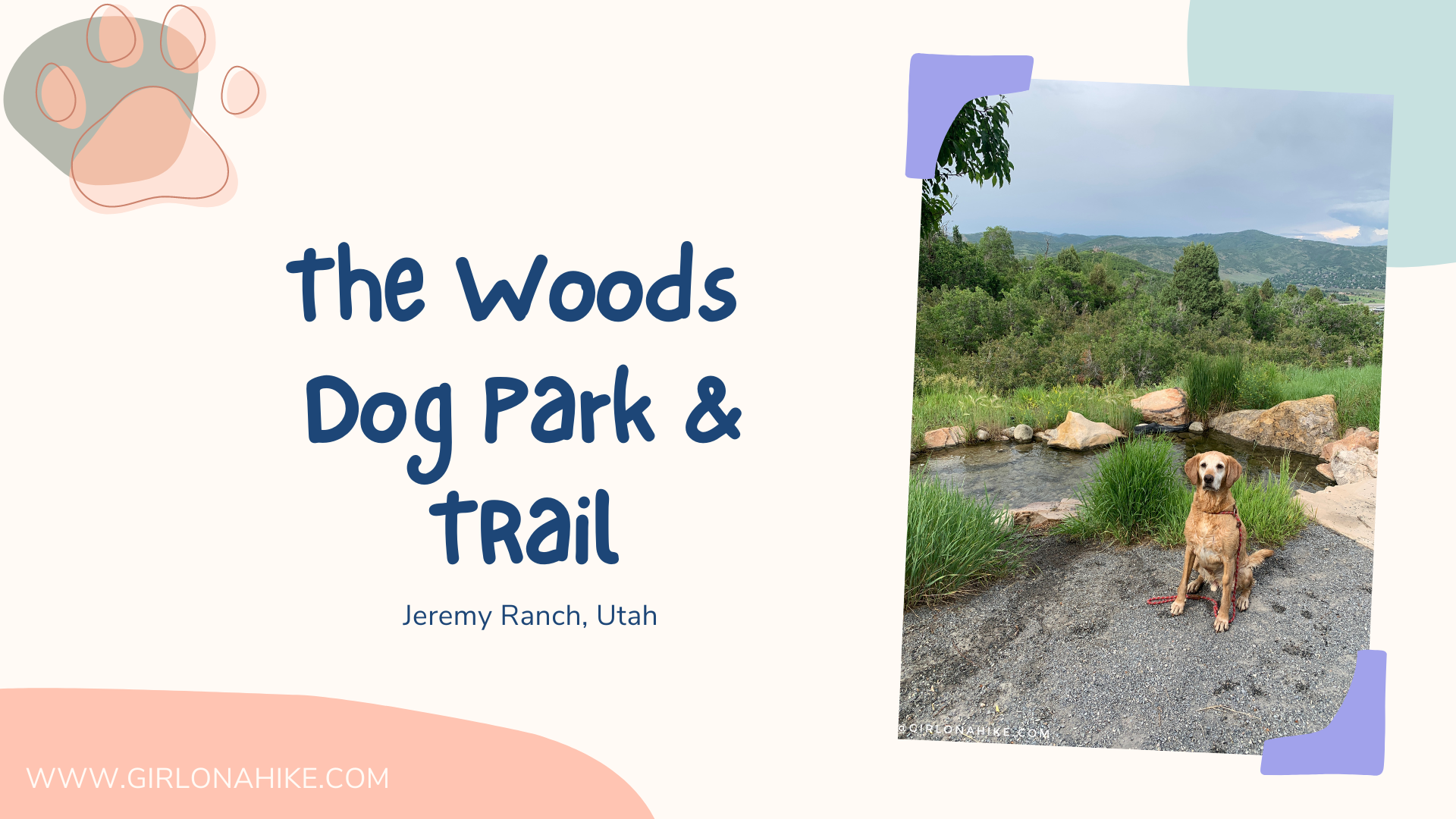
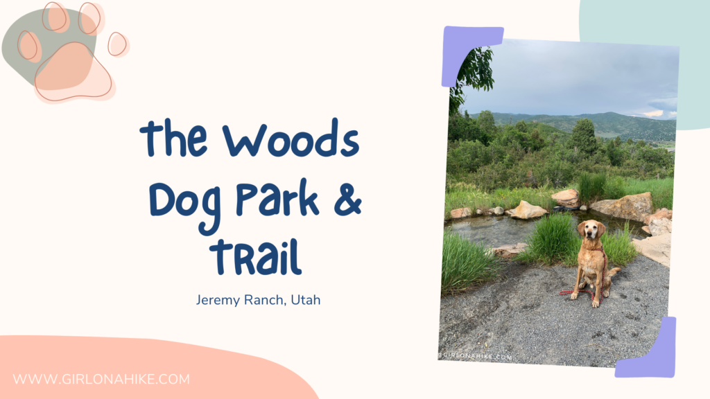
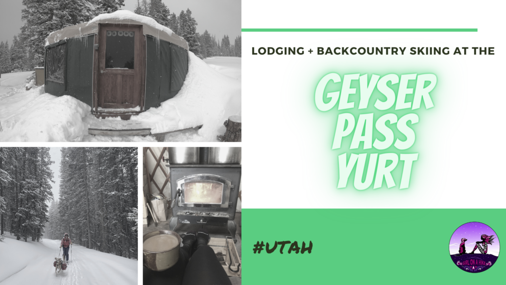
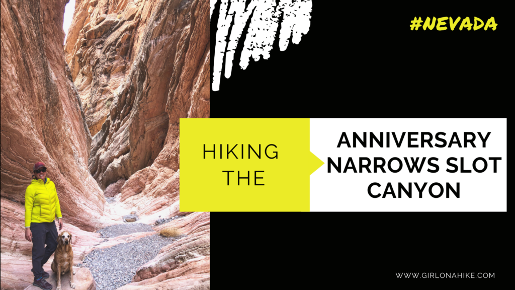
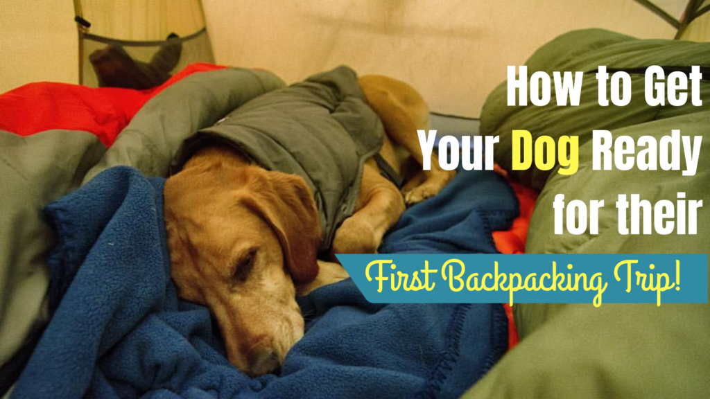
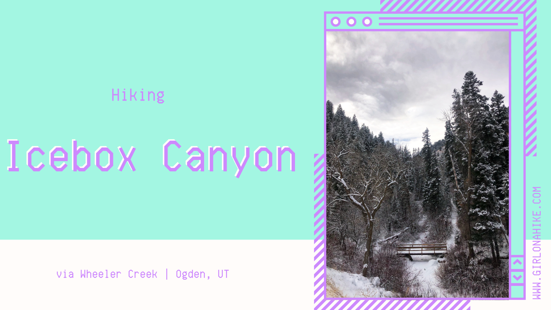
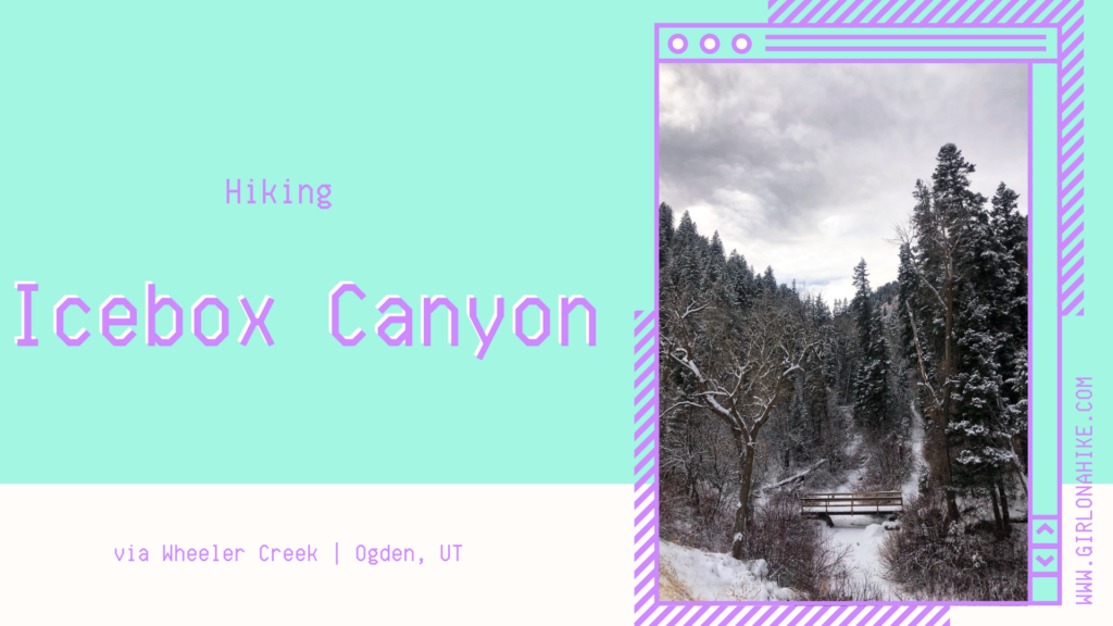
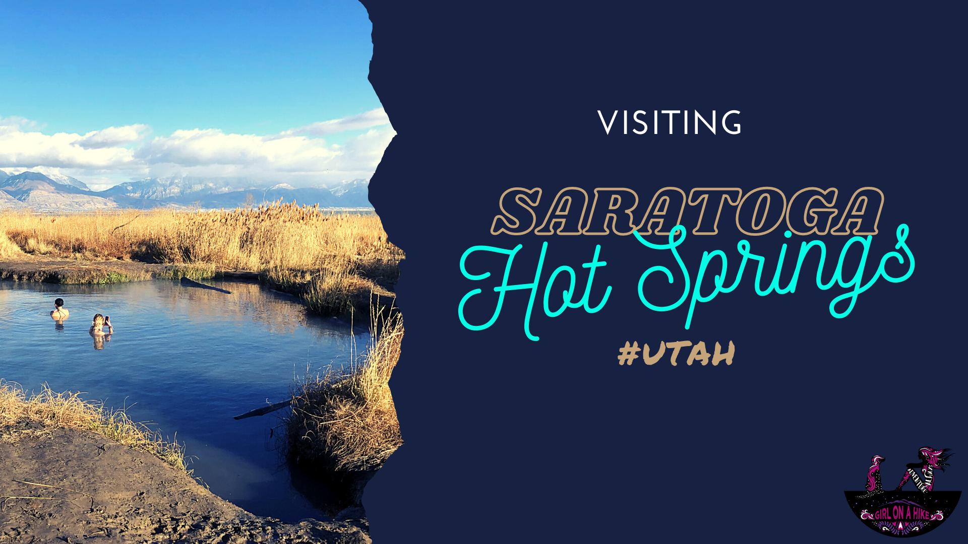
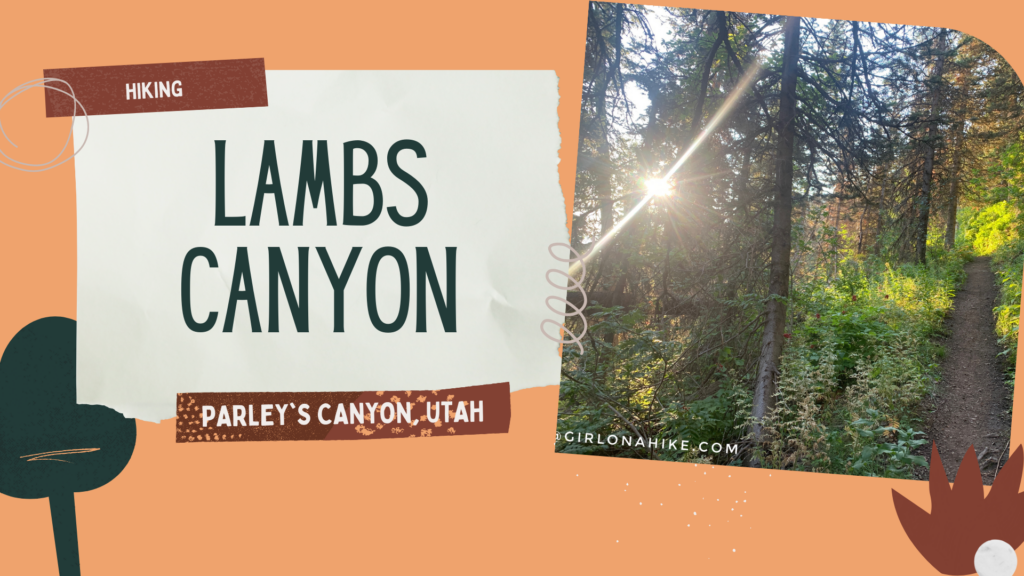 Lambs Canyon is located off I-80 after passing through Parley's Canyon, but before you reach Jeremy Ranch. Lambs Canyon is part of the county Watershed, and therefore, dogs are not allowed. There are multiple signs saying no dogs, and there was even a county sheriff patrolling the area as well, so don't even attempt to bring them up here. It's a bummer to leave dogs at home, but every once in awhile I want to do a hike that Charlie can't.


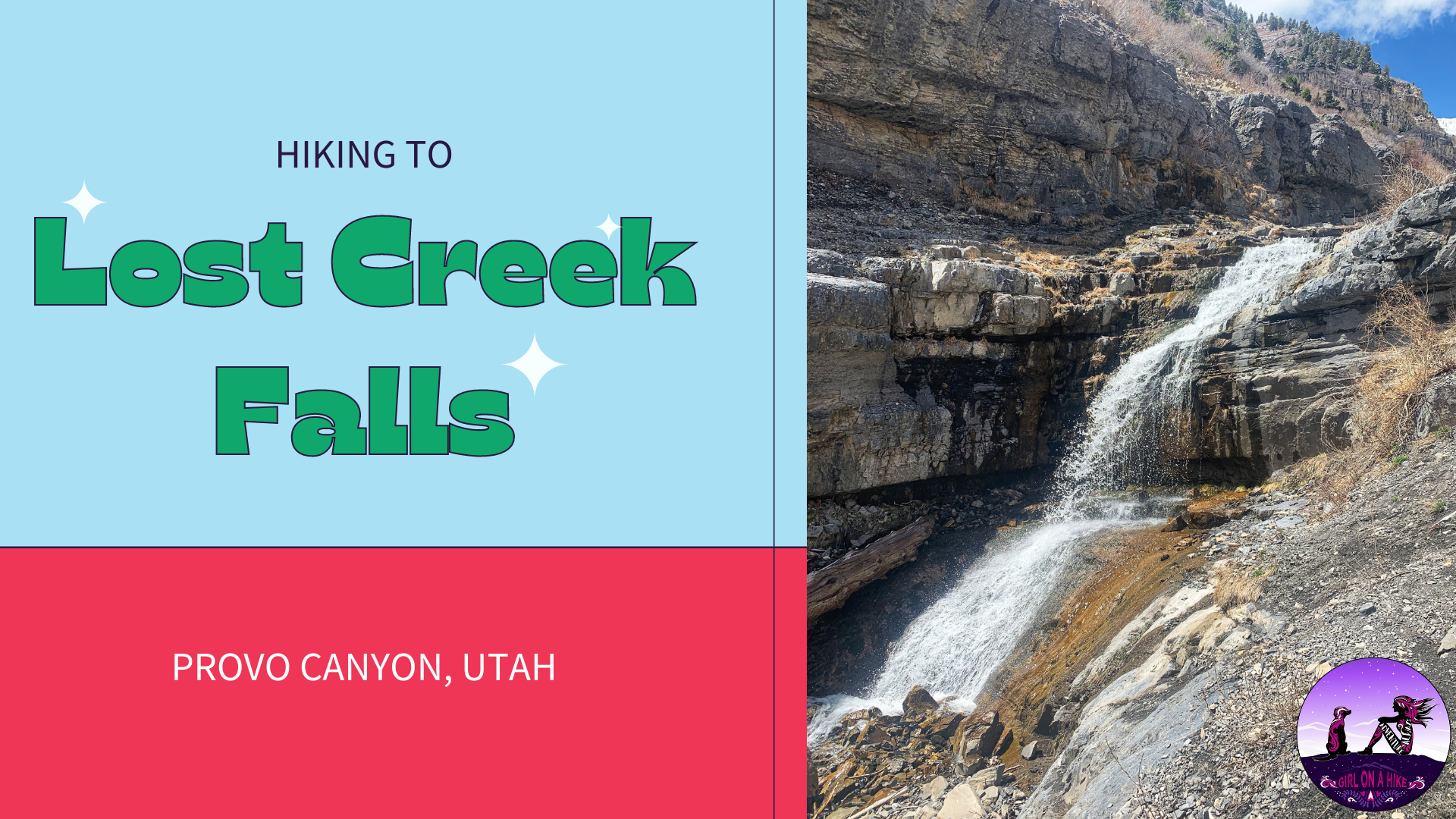
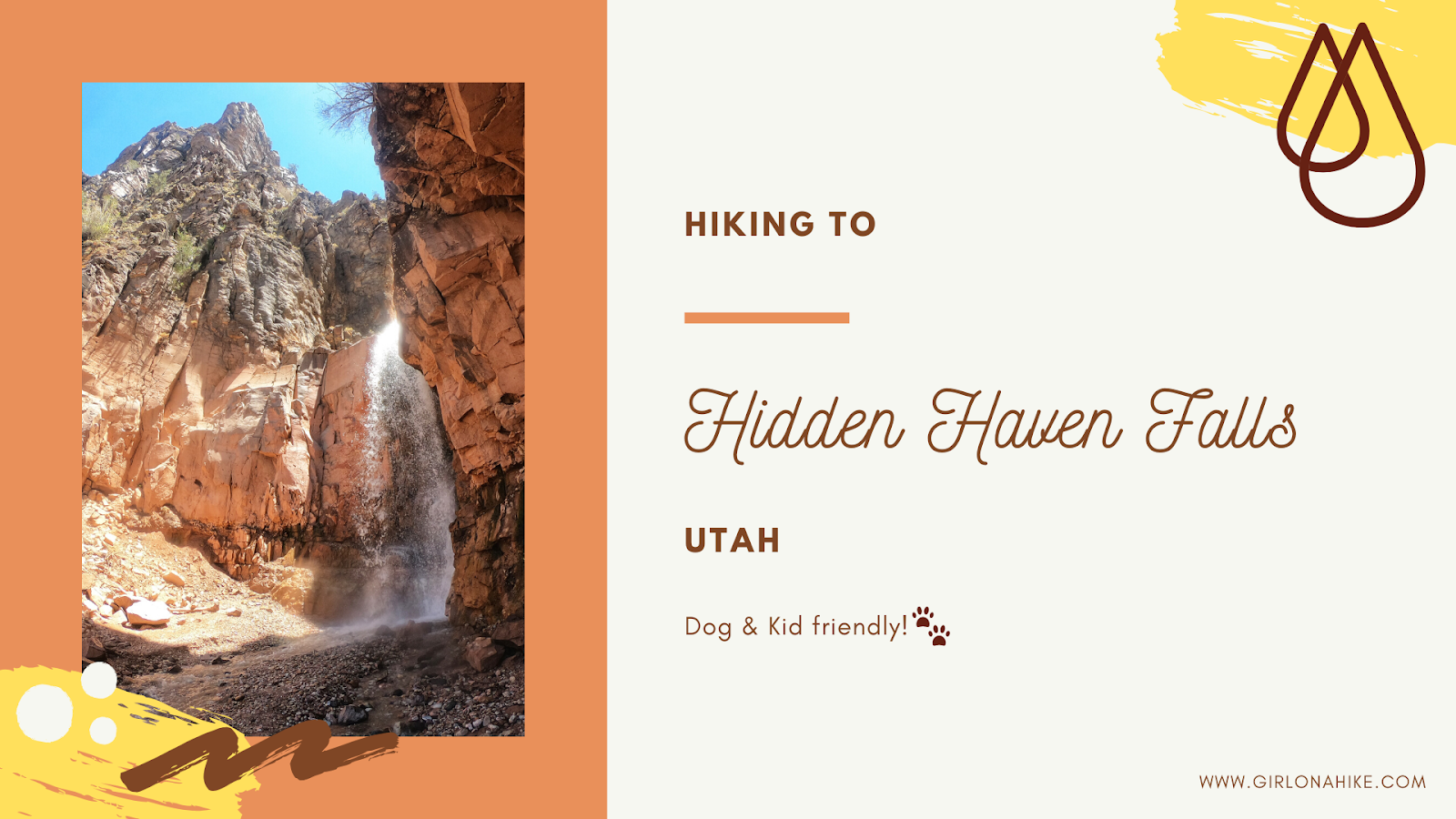
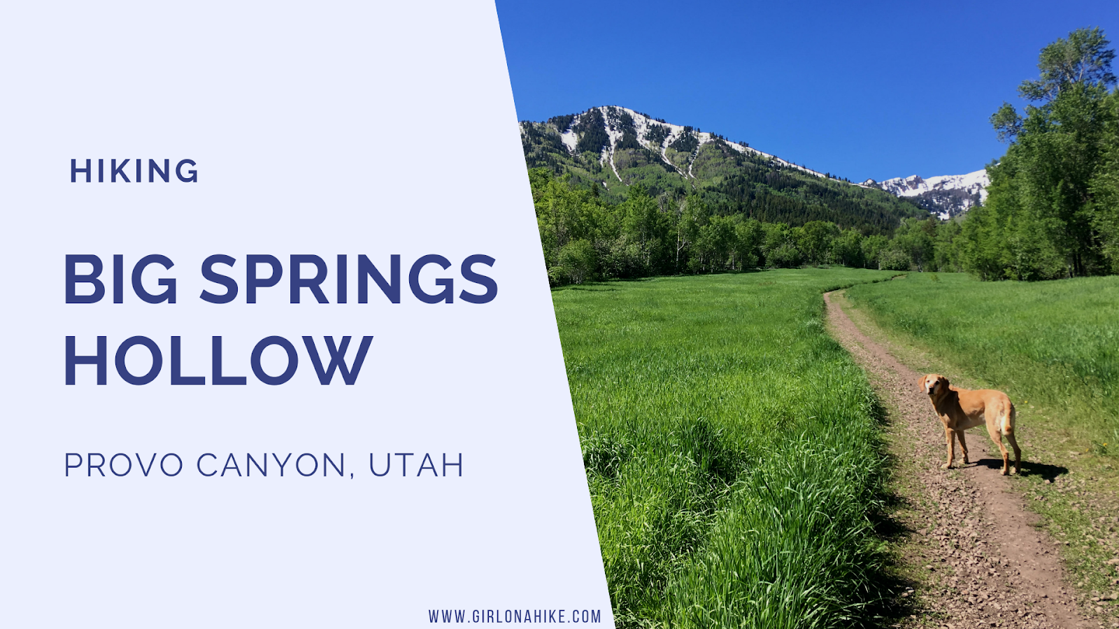
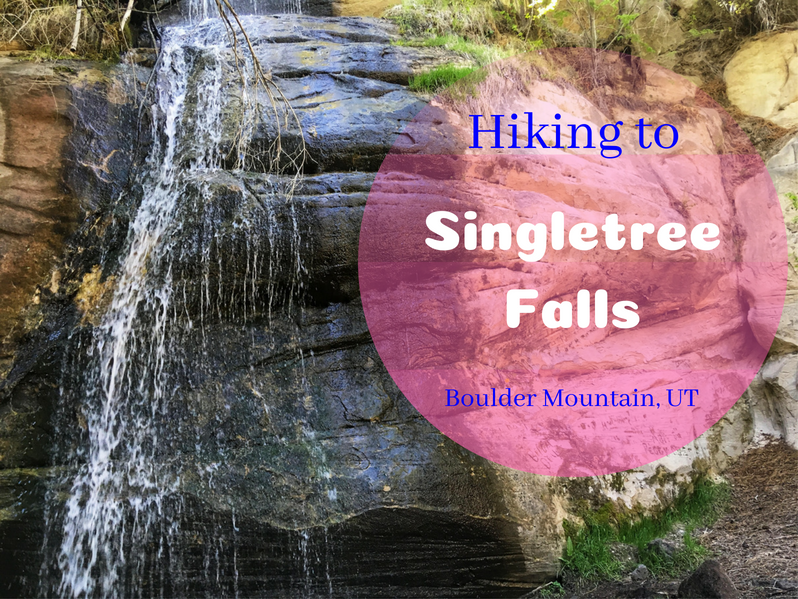
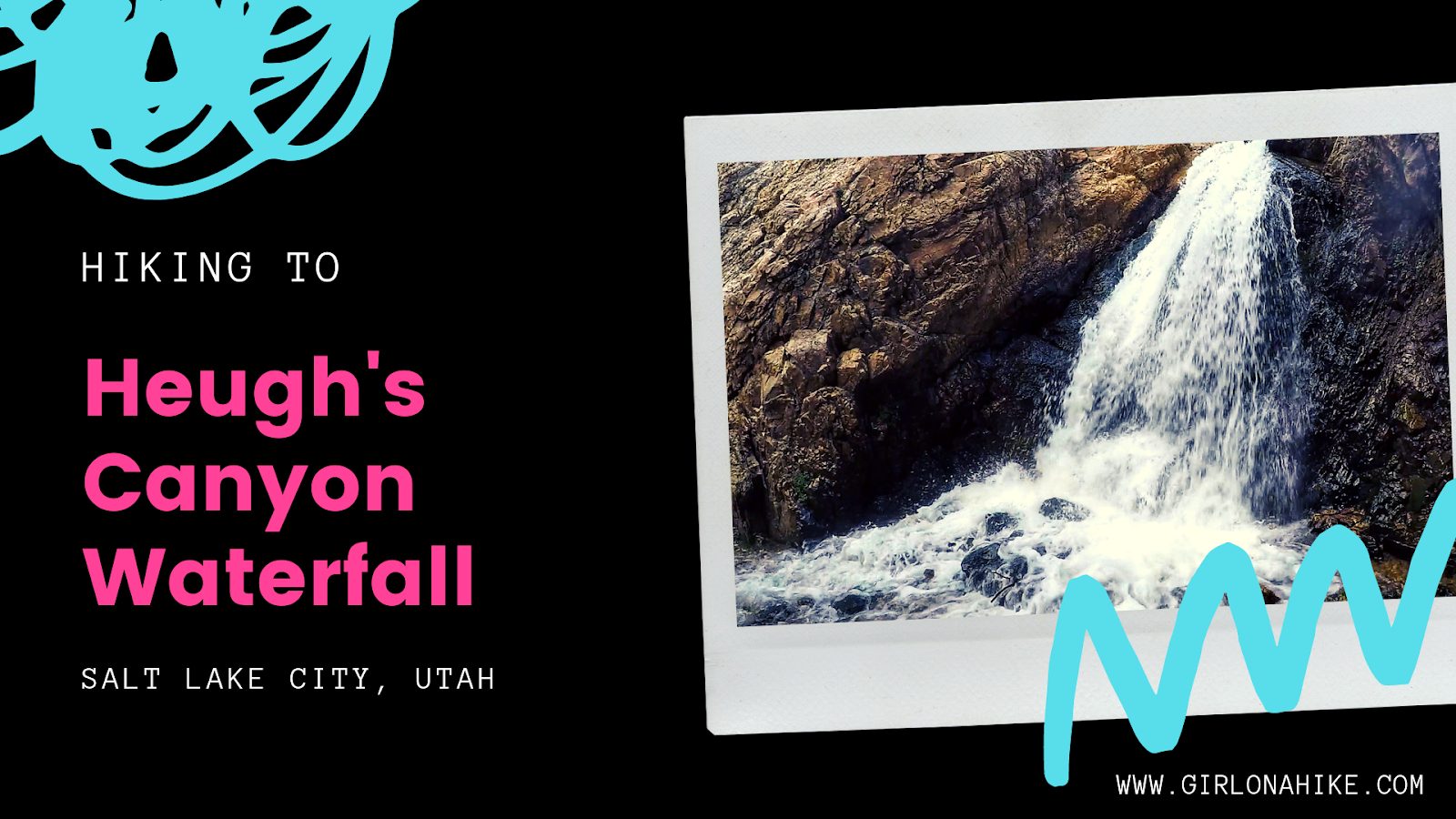
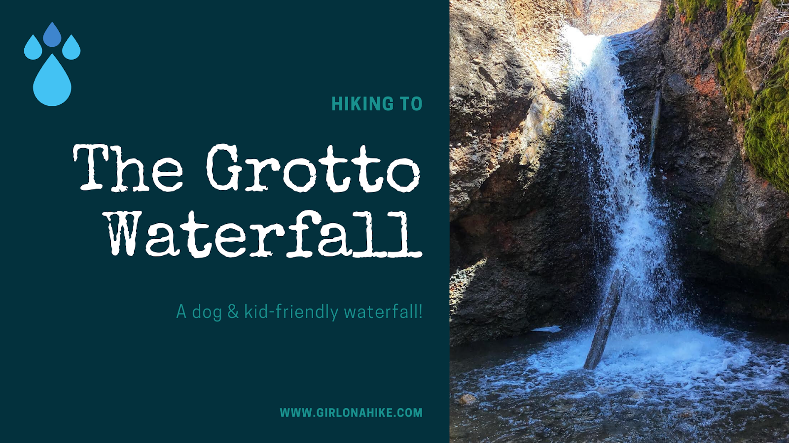
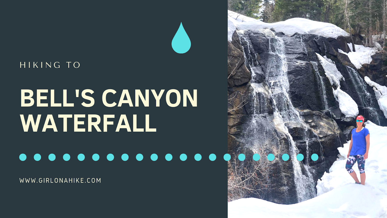
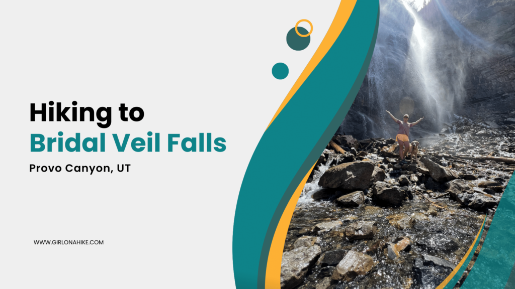
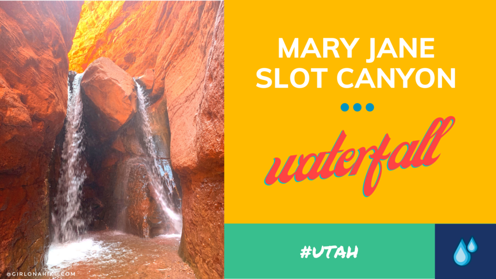
 Lost Creek Falls is located in Provo Canyon, Utah, and is a perfect Spring hike to check out this fun waterfall. It's great for dogs off leash to explore and cool off in the creek, plus great for kids of all ages. The "trail" starts out by following an old, narrow dirt road, and eventually you are left to hike steeply along Lost Creek.


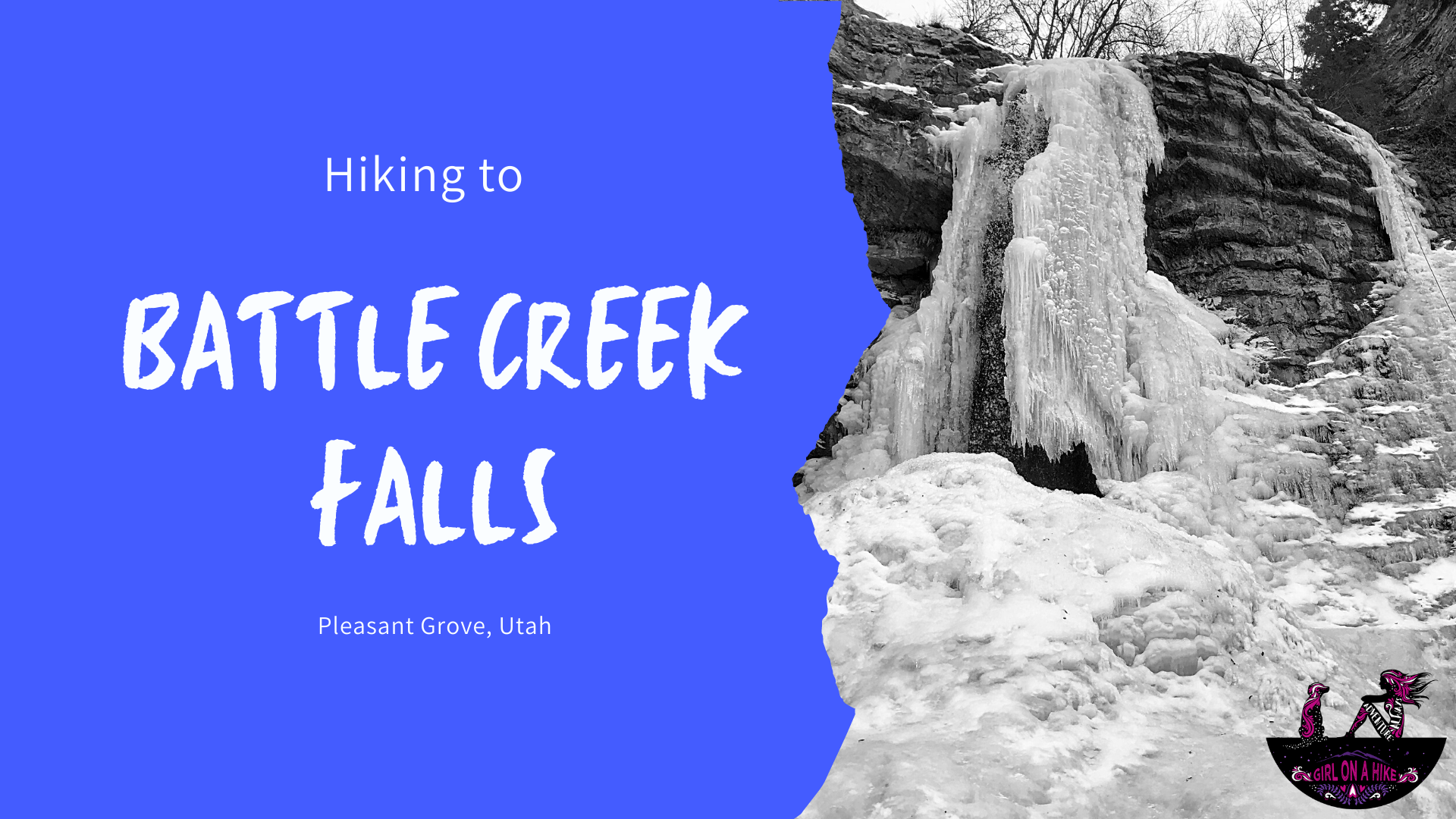
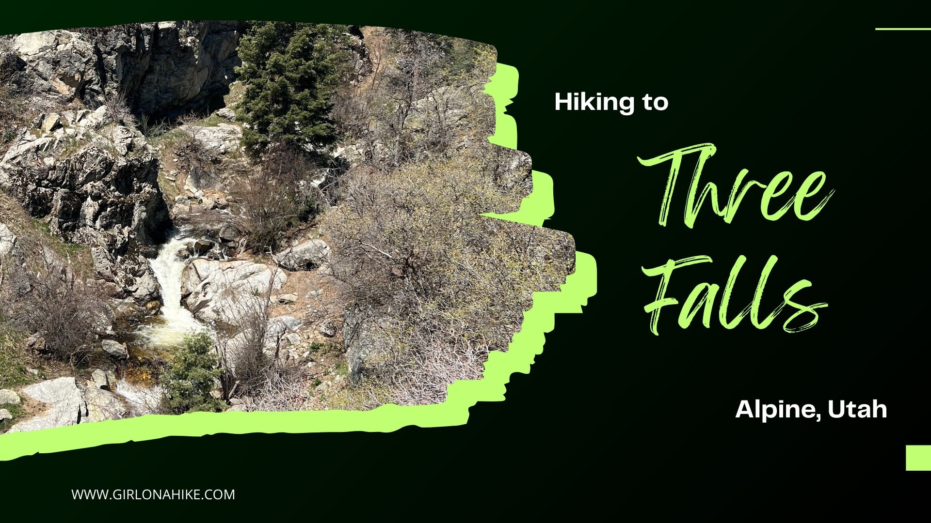
 Battle Creek Falls is another family friendly, dog friendly, and child friendly waterfall hikes that is enjoyable as more of a stroll rather than a "hike". It's short distance and elevation gain make this hike do-able for family visiting from out of town that want to see something pretty, yet not have to work hard to get there.


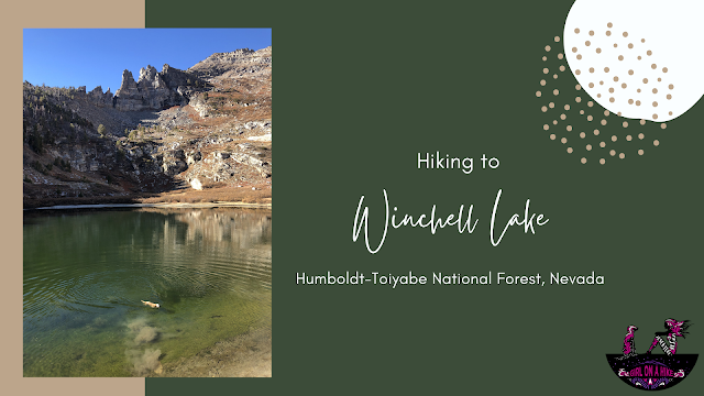
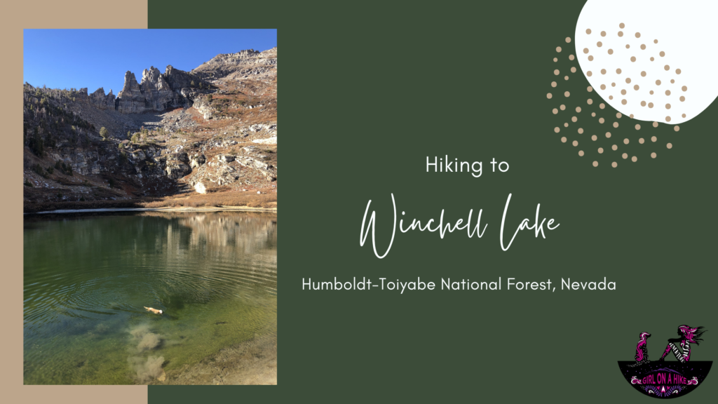 Winchell Lake is another high alpine lake in the Humboldt-Toiyabe Wilderness near the Angel Lake Rec area, just south of Wells, NV. It's neighboring lakes, Angel Lake &
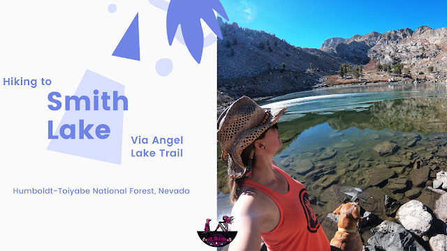


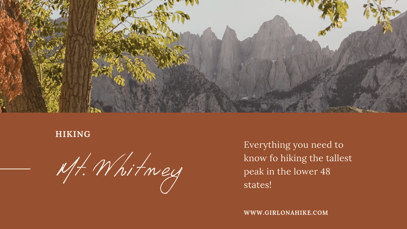
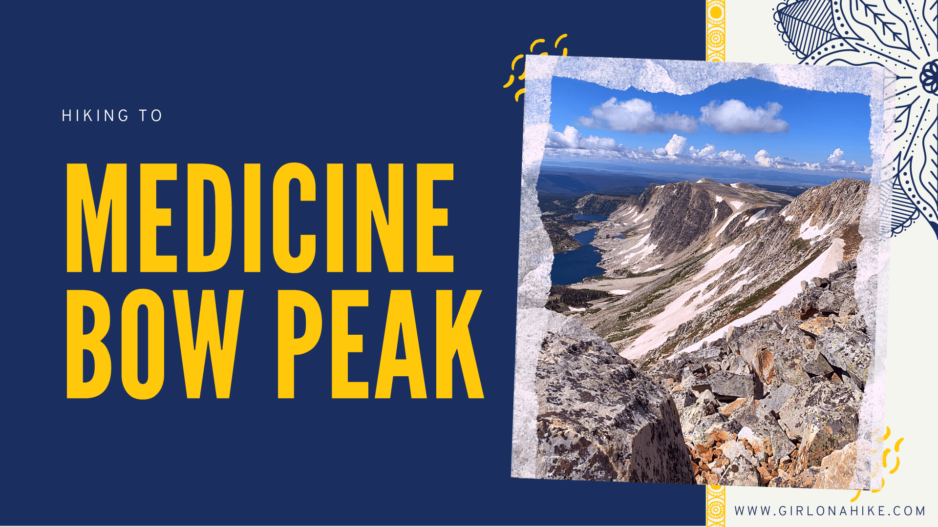
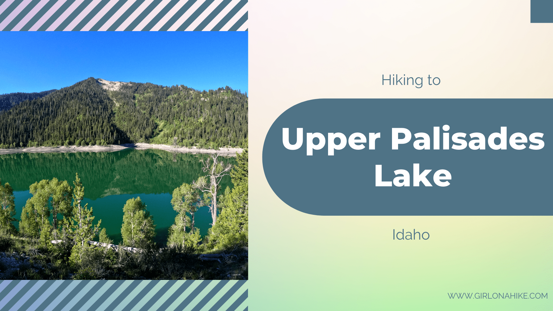
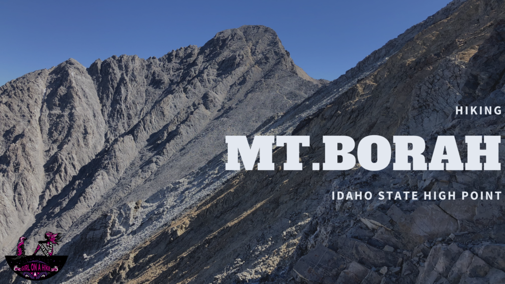 Hiking to Mt.Borah (12,662 ft), Idaho's state high point, is located in the Lost River Range within Challis National Forest. This peak is not for the faint of heart or weak.