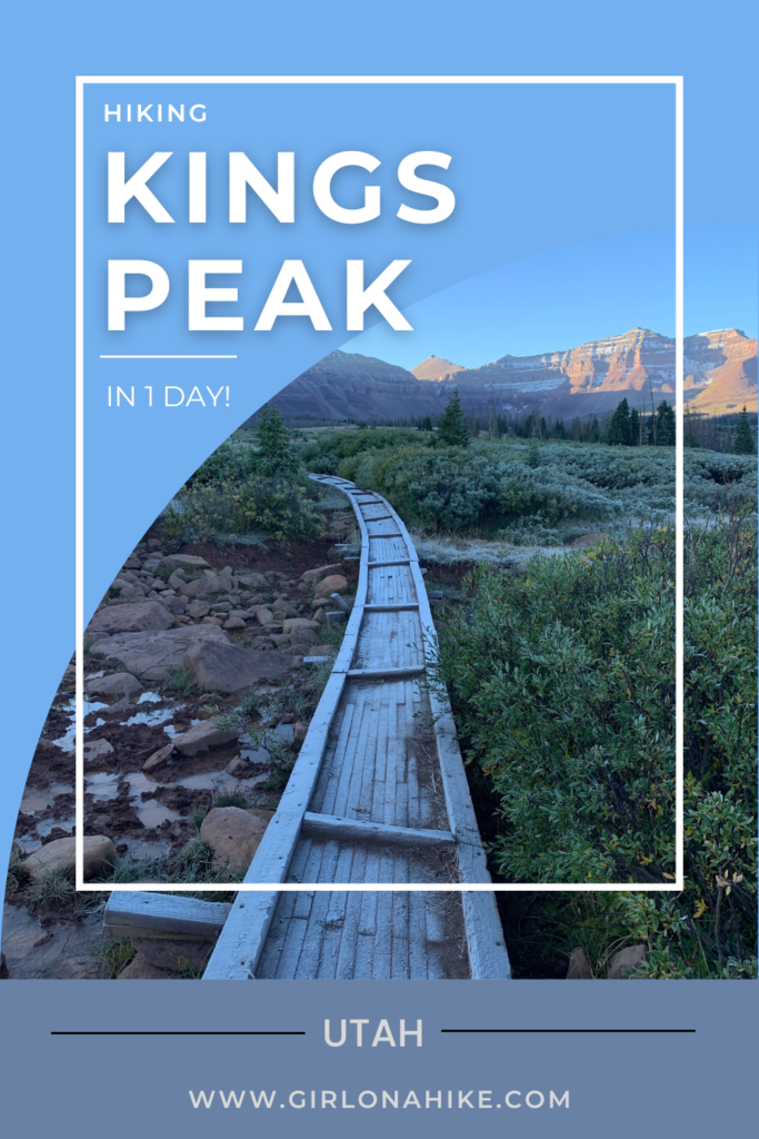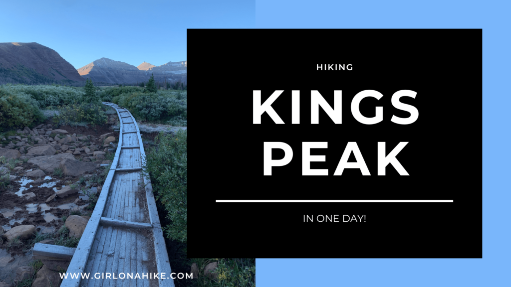
Kings Peak is Utah’s Tallest mountain at 13,528 ft! Most people do this as a backpacking trip, but if you like ultra running, then doing it in a day is a huge accomplishment!
About
Coming in at 26 miles round-trip, most people backpack this, but its also great as a day hike/run! The very first time I hiked Kings Peak I did it as a typical 2 night, 3-day adventure. That was in 2015 and I never thought that one day I would be able to summit it in one day! The main trail most people take is the Henry’s Fork Trail, which starts on the North Slope of the High Uintas Wilderness. You can access it from many other areas, however, this is the shortest route. The very first time I also got elevation sickness – I had never experienced that before and once I reached Anderson Pass, all I wanted to do was throw up. I also had a bad headache. Now, after years of peak bagging experience and honing in on my nutrition and electrolytes, I don’t have to worry about that anymore. However, it is quite common to see people getting sick en route to Kings Peak. A majority of the Henry’s Fork Trail is over 9,000 ft in elevation.
The first 9 miles is relatively easy – a very gradual uphill makes you forget just how much elevation gain you’ll do. Once you reach the bottom of Gunsight Pass, is where you really start to feel it all (roughly 11,000 ft). From there, it’s better to take the shortcut (it shaves off 2 miles) up and over the ridge. It’s a little scrambly but nothing crazy or super exposed. From there, you’ll make your way over to Anderson Pass, and then will follow that ridge to Kings Peak. The last mile takes people the longest, as there is not really a trail and you have to find your way through a big boulder field.
Finally, after 13 miles you will be on the summit!
Directions
From the SLC area, use this map. Make sure you go to the “Henry’s Fork Trailhead”. The trailhead is roughly 3 hours one way.
Trail Info
Distance: 26 miles RT
Elevation gain: 4,200 ft
Time: 8-14 hours
Dog friendly? While dogs are allowed off leash, I don’t recommend bringing them in one day
Kid friendly? No
Fees/Permits? None
FAQs
Can I bring my dog?
While dogs are allowed off-leash, I don’t recommend bringing them for 1 day. 26 miles in one day for dogs is a lot – they should have experience with several long hikes and train for this just as a human would. They should be able to hike for long distances and over rocky terrain. It is a good idea to always have a leash handy, in case you come near wildlife.
Is this a good trail for kids?
Not for younger kids, but those who have long-distance experience and can carry their own pack should be fine. My guess is ages 12+ could do this in a day.
Is there a water source along the trail?
Yes, there are endless creek crossings plus you follow Henry’s Fork most of the time. The last stop for water is roughly 1 mile from Gunsight Pass (9 miles into the hike). I highly recommend filtering water here before continuing up to the pass and Kings Peak.
When is the best time to day hike/run to Kings Peak?
July – September are the best months. You will have the most mosquitoes July-August. Typically after Labor Day the bugs are gone and temperatures are much cooler – therefore, my favorite time of year to do this is Mid-September. Of course, this all depends on how intense Winter was prior to this. Some years you can’t access the peak until mid-July, other years it’s as early as Memorial Day.
Always be aware of quick changes in weather!
How hard is the trail?
This depends on your experience, fitness level, pack weight and weather. There are no technical areas of the route, but climbing over passes and small boulders are required. You should have a few long-distance hikes/runs under your belt, and be comfortable carrying everything you need for the entire day. As always, the lighter your pack, the easier your hike will be. More weight = harder hike.
What map do you recommend?
I always just use Gaia GPS – its the best tracking app! Get your app here for a discount. You can pre-download maps and track offline. If you prefer paper maps, I would get this one. There is zero cell service (except on the peak, and even then its spotty), so I also recommend bringing a satellite communicator like ZOLEO!
Video
I decided to only do a video for this rather than step-by-step photos, as I just didn’t have time to focus on both since we tried to do this as hike/run as quickly as possible. Enjoy!
Trail Map
My track via Gaia GPS – the best tracking app! Get your app here for a discount.
Nearby Hike

Save me on Pinterest!