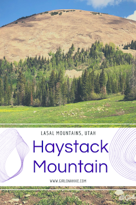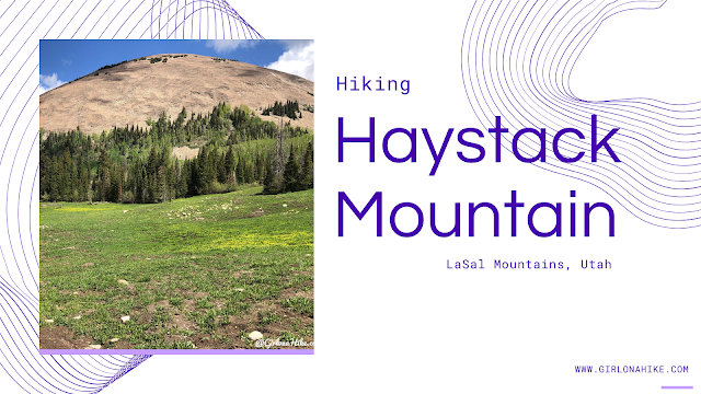
Hiking Haystack Mountain (11,641 ft) in the La Sal Mountains, Utah
Haystack Mountain (11,641 ft) is a striking summit located in the La Sal Mountains, just outside Moab, Utah. As the second-highest mountain range in Utah—after the Uinta Mountains—the La Sals offer a scenic, high-alpine escape from the desert heat below.
Trail Overview
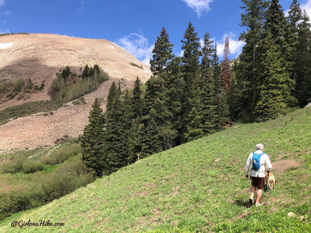
The trail begins with plenty of shade and year-round water access thanks to a flowing creek, making it especially great for dogs. As you climb, the terrain transitions from pine forest to open alpine slopes. Once you reach the saddle, you’ll emerge above tree line, where the final push to the summit is fully exposed and off-trail.
⚡ Important: The La Sals frequently experience afternoon thunderstorms, especially in summer. Start your hike early to ensure you’re below tree line by noon.
This moderately challenging hike features forested trails, alpine meadows, and panoramic views. While the trail is established for much of the route, the final 1.5 miles requires off-trail navigation to reach the summit. It’s an ideal adventure for hikers looking to experience the less-traveled alpine terrain near Moab.
Route Options to the Summit
There are three main trailheads for accessing Haystack Mountain. Each offers a unique experience depending on road conditions and your previous hiking history.
1. Geyser Pass Trailhead
Shortest route to the summit
Check conditions before heading out—the pass may be closed or impassable due to snow or rough road conditions
This was our original plan, but we skipped it due to pass closure
2. Warner Lake Trailhead
Similar in mileage and elevation gain to our chosen route
We opted out of this route because we had already used it for hiking Mann’s Peak the previous year
3. Oowah Lake & Clark Lake Trailhead (Recommended Route)
Our chosen route
Distance: ~10 miles round trip
Elevation Gain: ~2,800 ft
Offers beautiful scenery, creek crossings, and forested sections
Less traffic than other trailheads
Directions
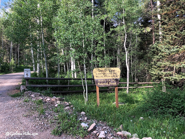
To reach Oohwah Lake, drive south from Moab, and turn left at the signed LaSal Scenic Loop Road. Follow all signs for this, and near Horse Canyon there is a tight bend in the road and the signed Oohwah Lake is on the right. Drive to the very end of the road where the lake, campground, and Clark Lake TH is.
Here is a driving map.
Trail Info
Distance: 9.6 miles RT
Elevation gain: 2,800 ft
Time: 5-7 hours RT
Dog friendly? Yes, off leash
Kid friendly? No
Fees/Permits? None
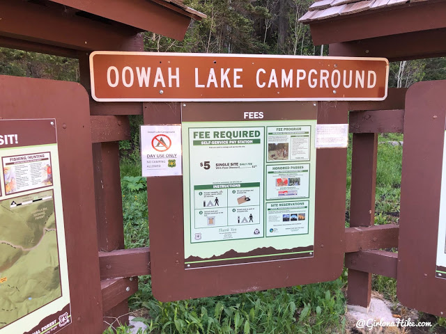
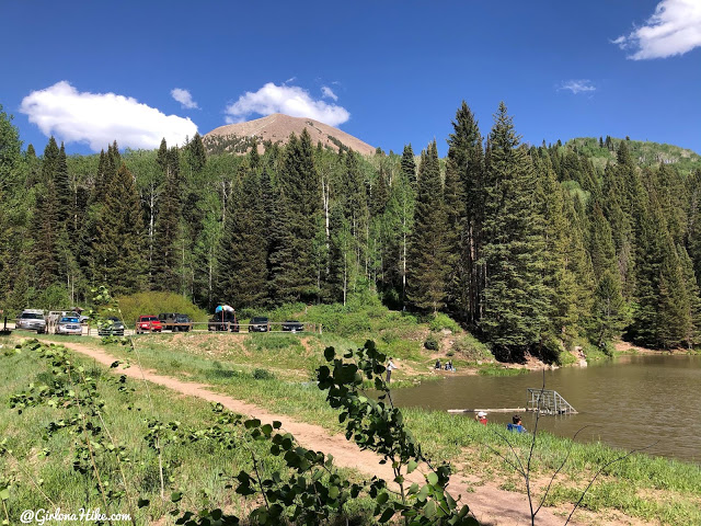
Oowah Lake Campground and Rec Area
Entering the Rec Area. There is a sign that no RVs are allowed to camp up here because the road has one tight turn, and there is not a big enough turn around for RVs in the campground – it’s best for tent campers or rooftop-style tents only. Camping is only $5/night and there are 11 first-serve, first-come sites. Call the Moab Ranger District for current conditions and if they are open at 435-259-7155. This is a popular lake so arrive early or even mid-week to snag a spot.
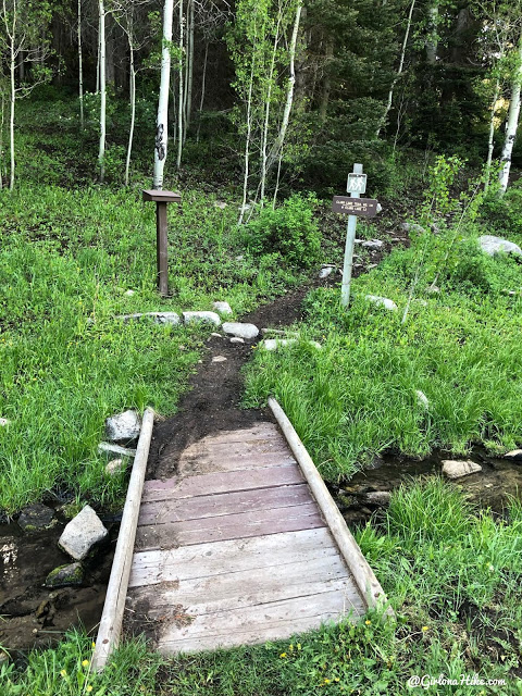
Official TH.
Start of the Hike
Now we begin! Woot woot!
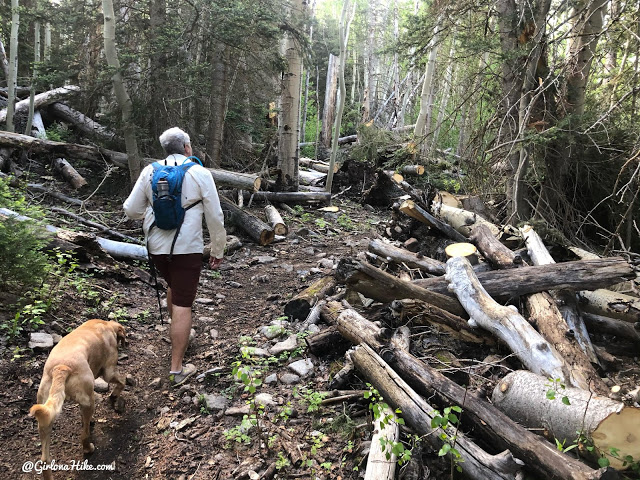
You’ll hike up a series of small switchbacks and go through a cattle gate.
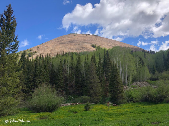
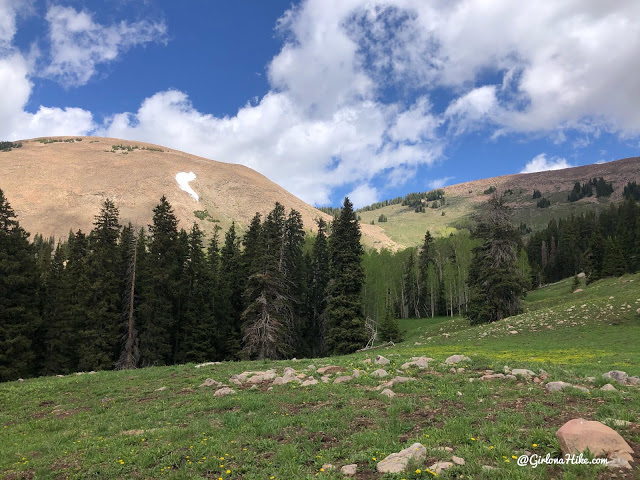
Around 0.75 miles the view opens up and you’ll have your first good look at Haystack from the SW side.
Clark Lake
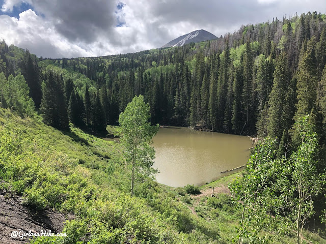
At 1.2 miles reach Clark Lake. It was so brown because of the rain storm the day prior.
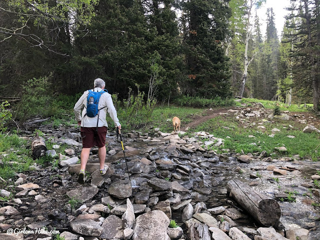
At 1.8 miles cross the stream, and then shortly after a small bridge.
Trail Split for Moonlight Meadows
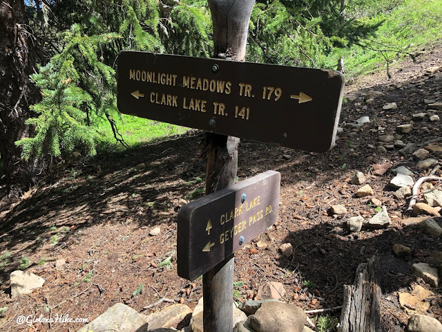
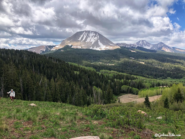
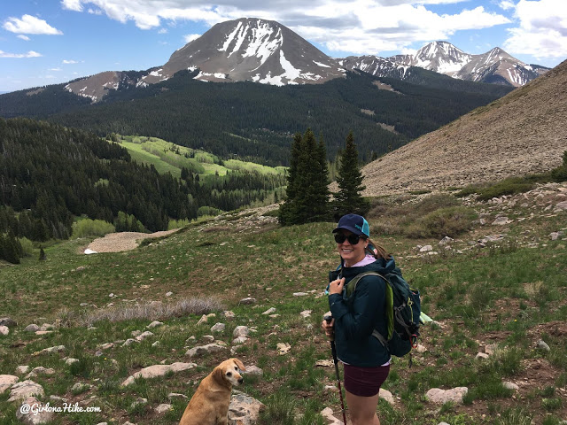
At 2.2 miles reach this trail sign, and stay straight for Moonlight Meadows.
Moonlight Meadows is a prime spot for nice photos with Mt.Mellenthin in the background.
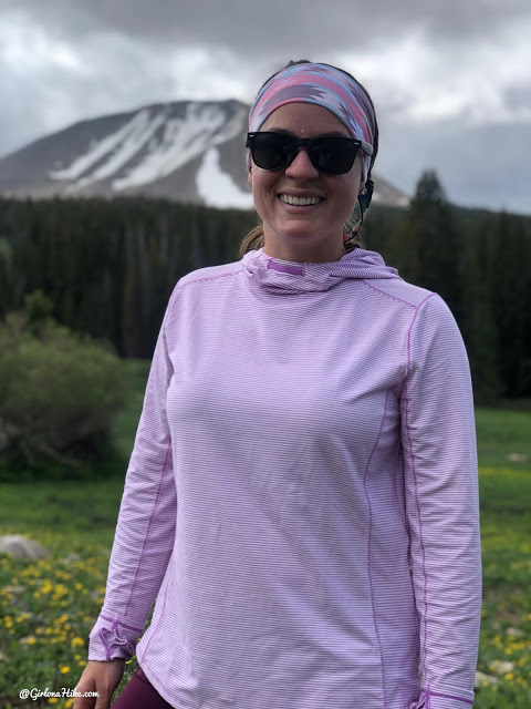
Loving my Duluth Trading Women Pier Genius Hooded Pullover! UPF 50 sun protections, odor-fighting, and dries 6x faster than normal material.
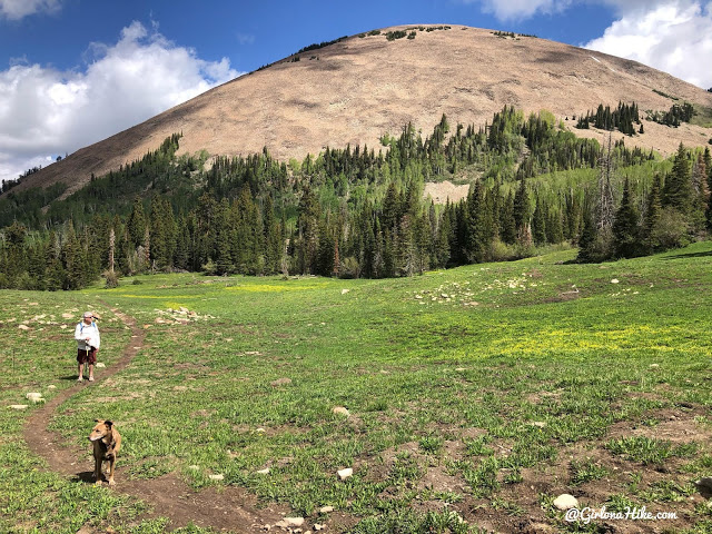
Wow, we will be up there soon!
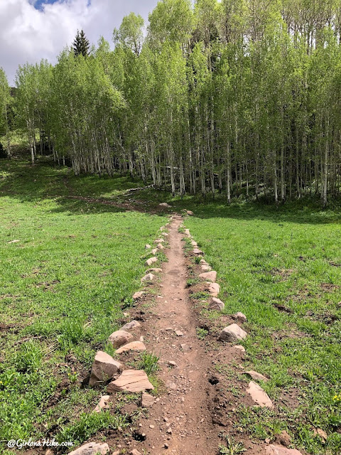
Beautiful trail!
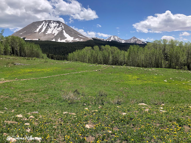
One last look at the meadow and Mt.Mellethin.
Off Trail Hike Begins
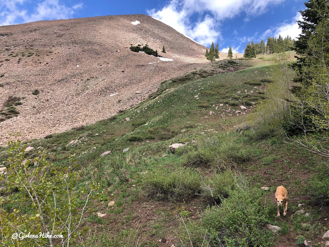
At 3.4 miles the trail takes a sharp right turn and this is where you’ll want to leave the trail and start aiming for the saddle straight ahead.
You will now be hiking off trail – find what seems like the best route to get past the trees.
Looking back at where we’ve hiked up from.
Still aiming for that saddle – from the trail turn off to the saddle is about 1 mile.
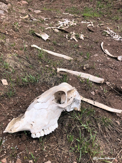
No bones about it!
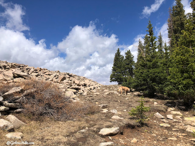
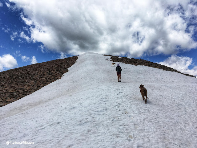
Finally at the saddle. From here, just aim straight up the ridge to reach the summit.
En Route to the Summit
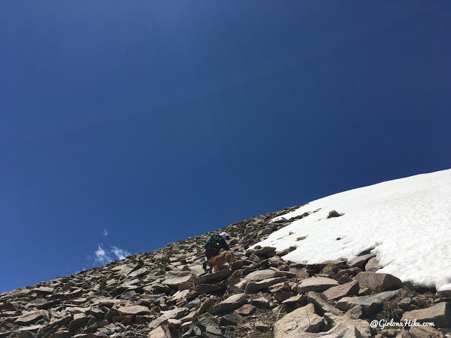
Whoohoo! One of my favorites – scrambling.
Looking back.
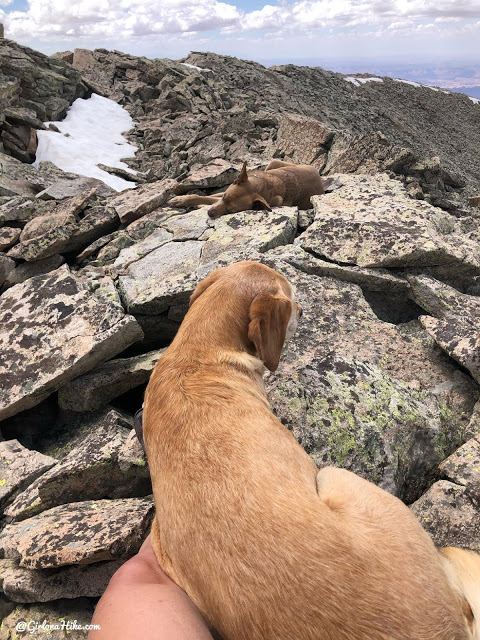
I was really happy to see the ridge level out with a big snow patch. Much easier to hike across. The wind was really strong through here.
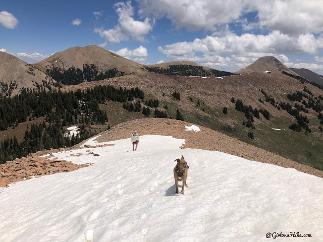
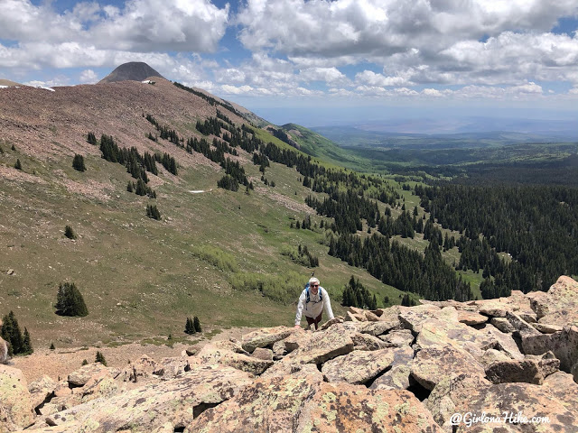
The peak above Dan’s head is Manns Peak – the one we did in 2019!
summit of Haystack Mountain
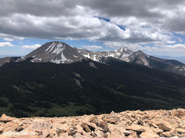
Great view of Mt.Tukuhnikivatz to the south.
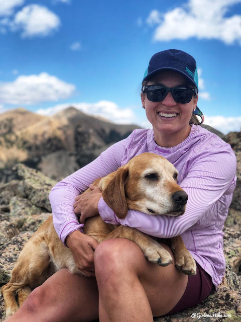
Summit snuggles are our thing!
The pups take a little nap before heading down. They did such a good job!
Descent
Time to head down – only half way done!
Back at the car we sat by Oohwah Lake and drank out ice cold beer – so refreshing!
Watch the video of our hike!
Trail Map
Don’t forget to clean your camelbak bladder when you get home!

Nearby Hike
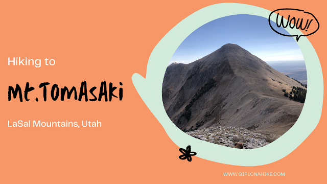
Hiking to Mt.Tomasaki, LaSal Mountains

Save me on Pinterest!