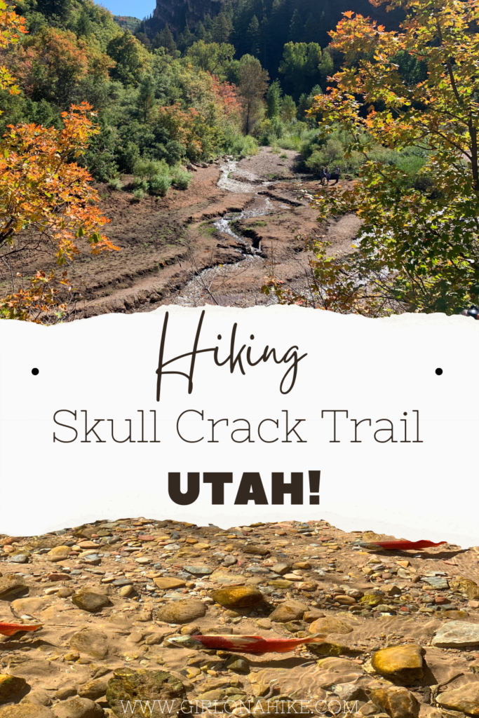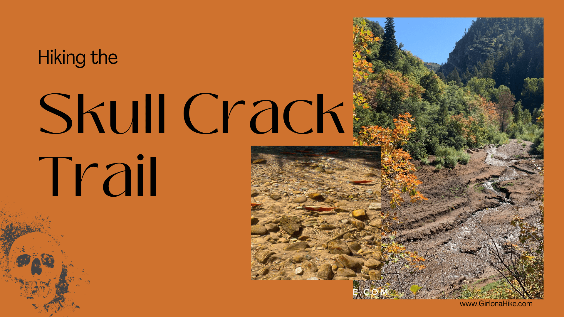
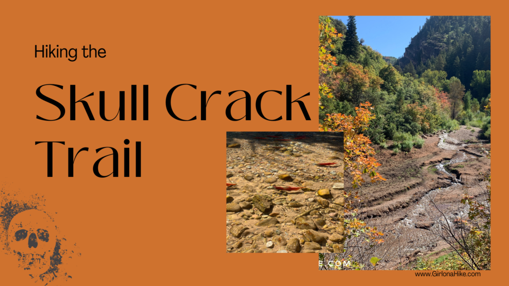
The Skull Crack Trail at Causey Reservoir is a scenic hike just 45 minutes east of Ogden, Utah. Nestled at 5,700 feet in elevation, this 142-acre reservoir is surrounded by steep, forested canyons that branch into three distinct forks, offering hikers stunning views and a peaceful escape into nature.
About
Directions
Parking is available at the trailhead, located at the southern end of Causey Reservoir. A single restroom is located at the trailhead. Use this Google Map map.
Trail Info
Distance: 5 miles roundtrip
Elevation Gain: 400 feet
Estimated Time: 2–3 hours
Trail Type: Out and back
Dog-Friendly: Yes (off-leash allowed, but keep leashed if crowded)
Kid-Friendly: Yes
Fees or Permits: None required
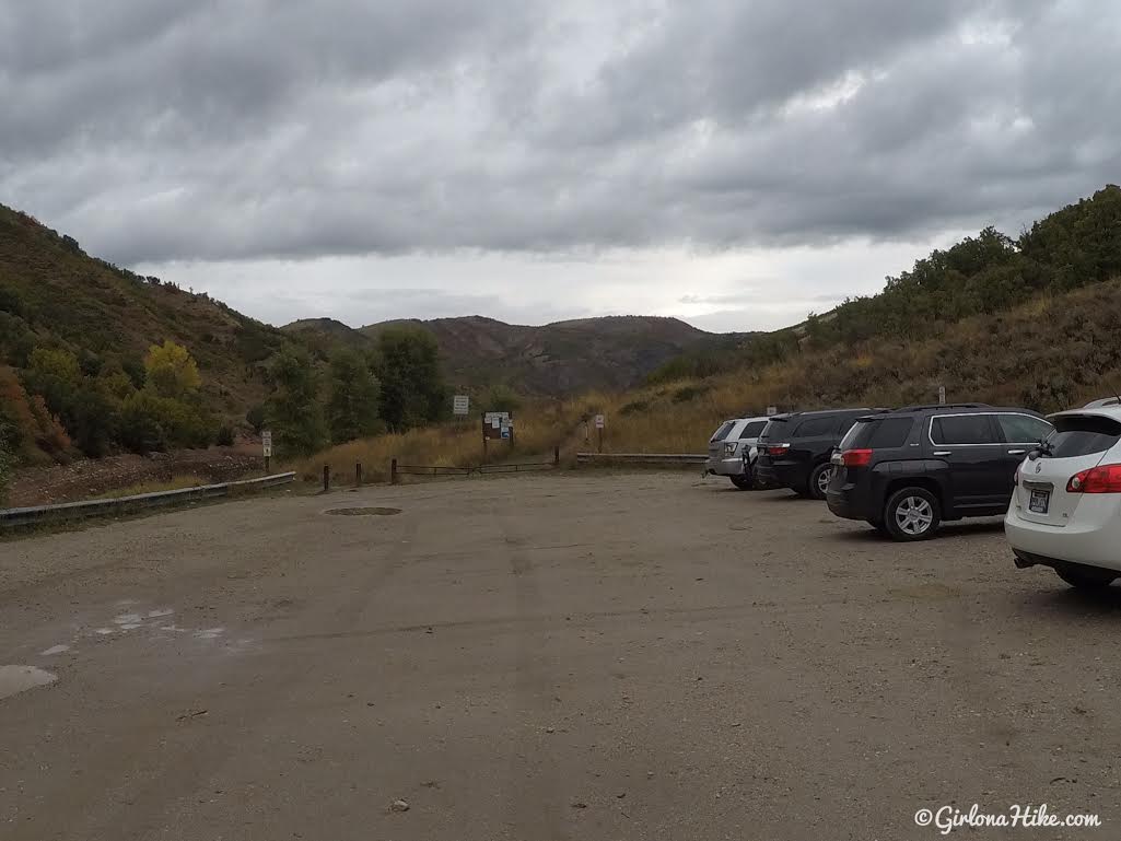
The Skull Crack trailhead parking area. It’s located at the southern end of the reservoir, where the road ends.
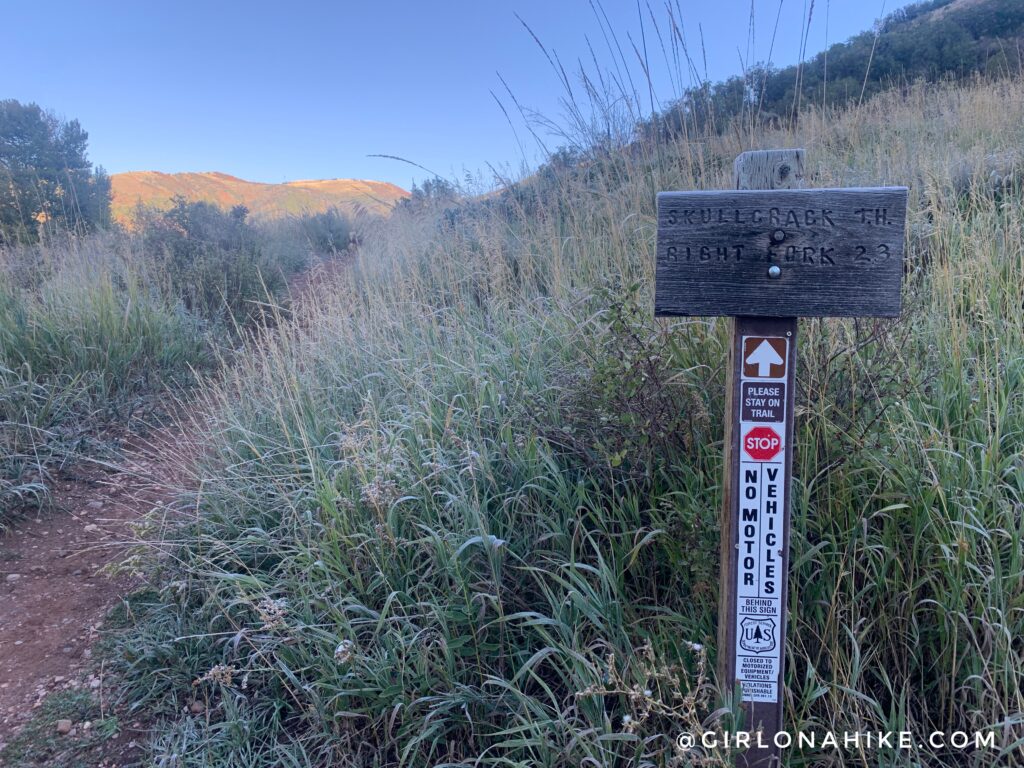
The sign says 2.3 miles one way, but I tracked 2.5 miles.
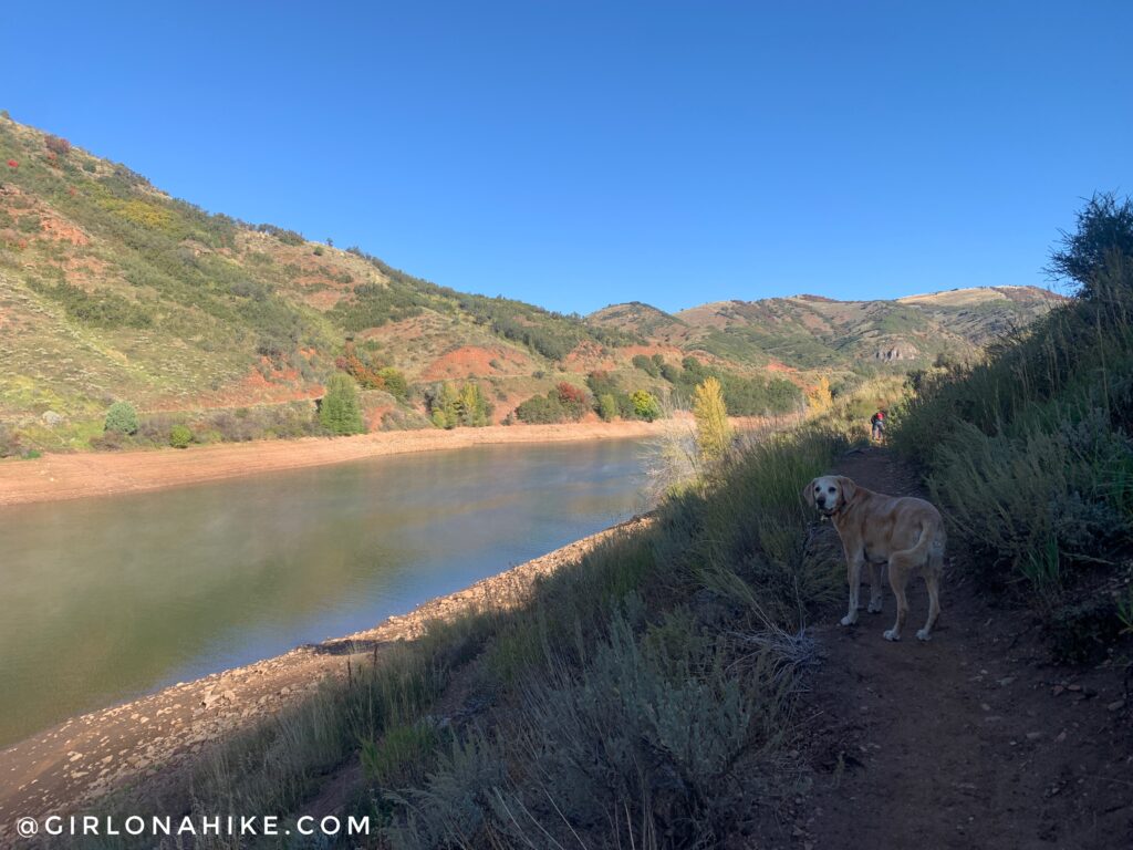
The water level looked really low, even though we had an amazing snow year in 2023.
Towards the beginning of the trail, you will hike up on small hill. You will also get great views down to Causey Reservoir, of course.
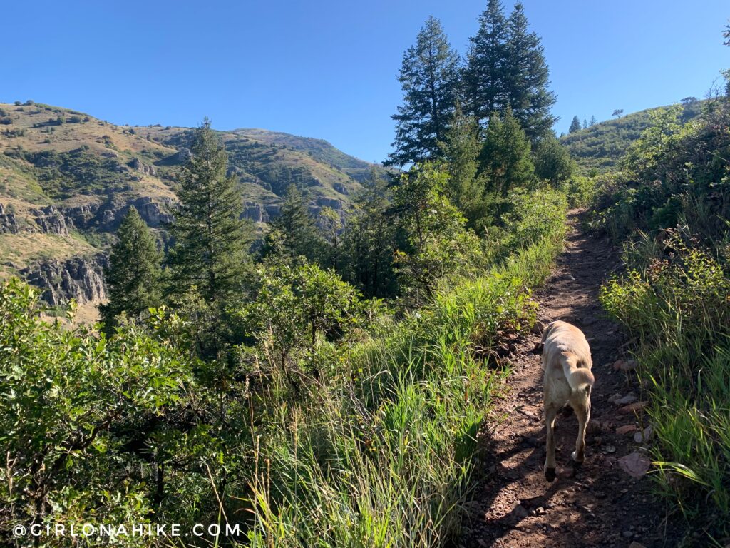
Sections of the trail are somewhat shaded but it’s mostly exposed. This is another reason why Fall is a great time to hike here – cooler temperatures!
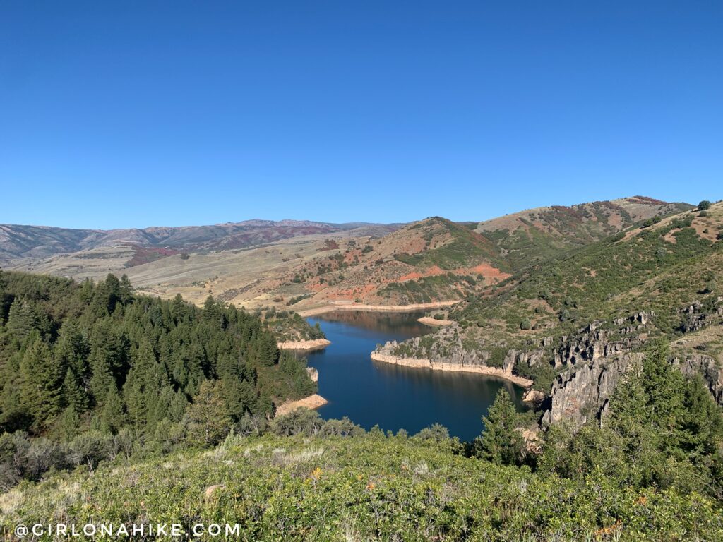
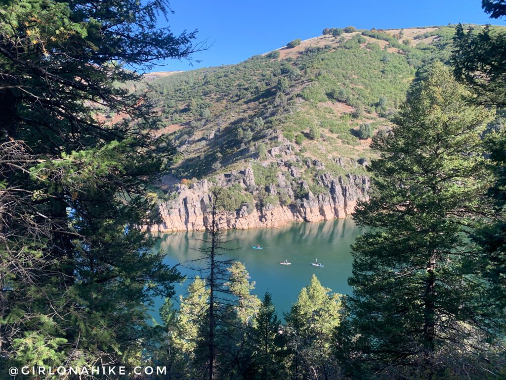
You’ll get up much higher above the reservoir as you continue to hike. You should have some pretty amazing views of the lake.
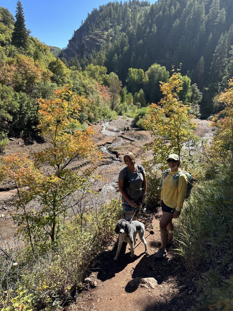
Finally the trail begins to descend, and you can now see the stream.
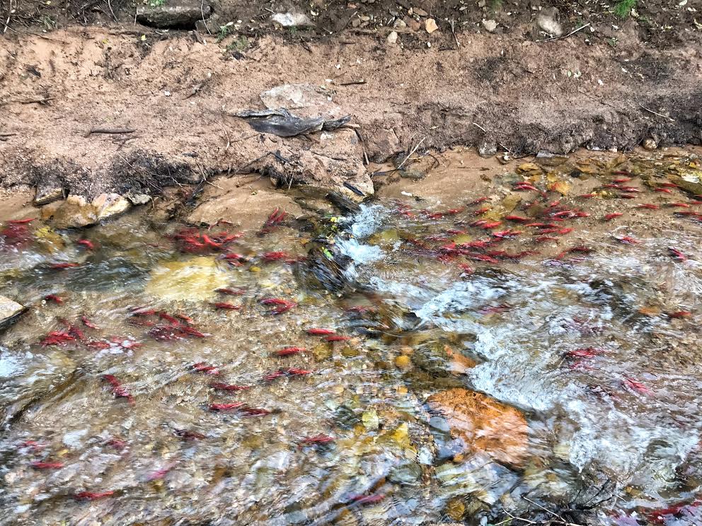
One of the most unique aspects of this hike is witnessing the Kokanee Salmon run each fall. Thousands of bright red salmon swim upstream to spawn—a breathtaking and rare sight in Utah. I first discovered it thanks to a friend, and it completely exceeded my expectations. While 2016 was a peak year (as seen in the photo), the salmon population varies year to year. You never quite know what you’ll see!
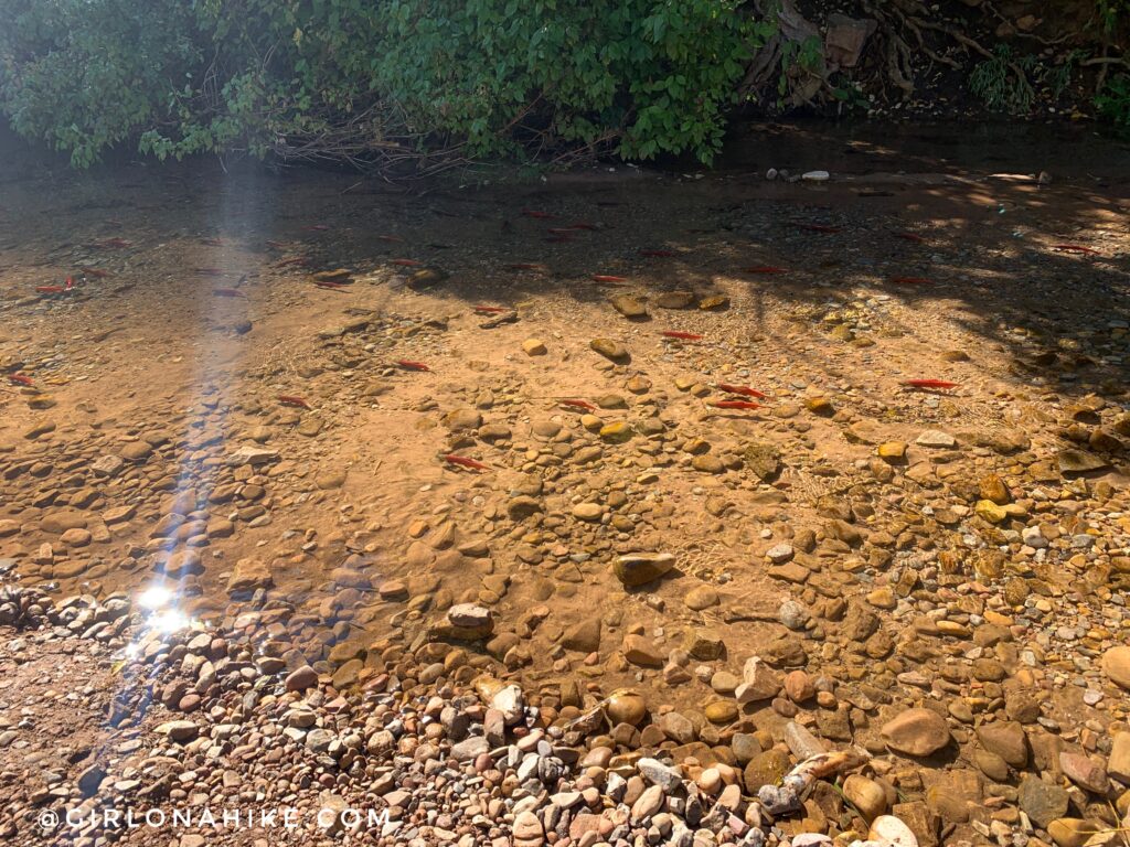
And this photo is from 2023. Wow, what a difference. I don’t know if it was from timing or if there was just a lower population of Salmon this year. You never know what you will see when you arrive.
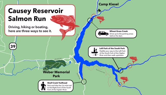
The best spots to see the Salmon Run. Read more about the salmon hatch.
My track via Gaia GPS – the best tracking app! Get your app here for a discount.
Nearby Hike
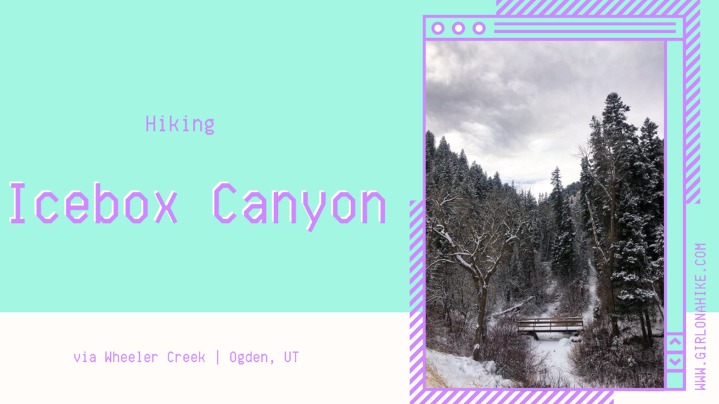
Icebox Canyon via Wheeler Creek

Save me on Pinterest!