About
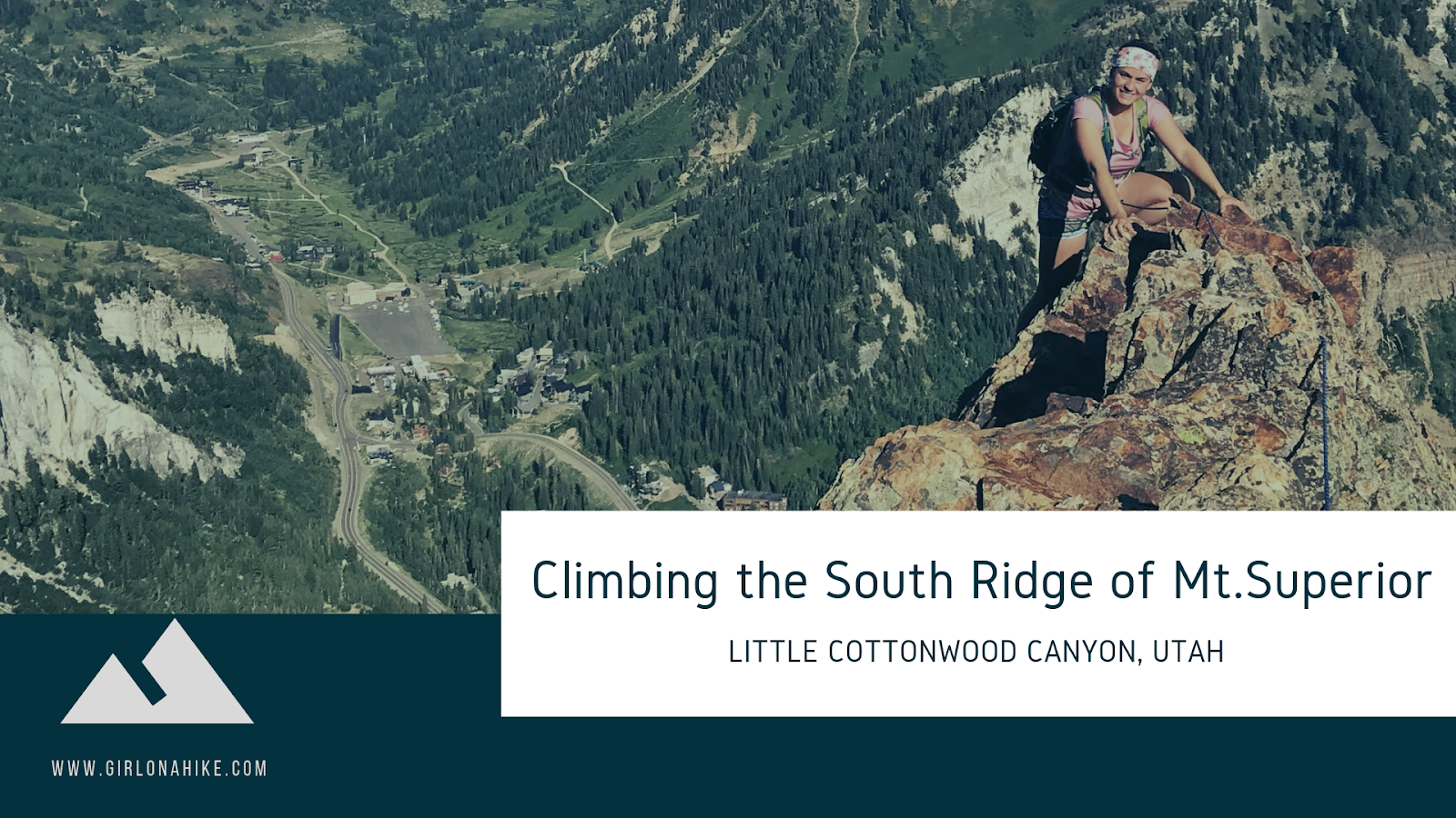
For an even more challenging route, check out Climbing the South Ridge of Mt.Superior!
Directions
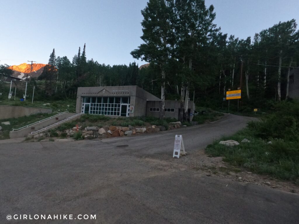
Drive up Little Cottonwood Cayon for 8 miles (past the Park in Ride, at the intersection), and park at the “Our Lady of the Snows Center” on your left (see photo below). Here’s a driving map.
Trail Info
Distance: 2.7 miles (one way to Monte Cristo Peak)
Elevation gain: 2,500 ft
Time: 3-5 hours
Dog friendly? No, dogs aren’t allowed in LCC
Kid friendly? No
Fees/Permits? None
The trail starts by walking up the paved road right by the Our Lady of the Snows Center, and take the first right. You’ll then walk by the Sheriff’s Station on your left, as the road rounds the corner.
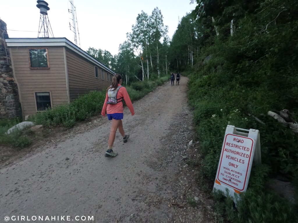
Walking by the Sheriff’s Station.
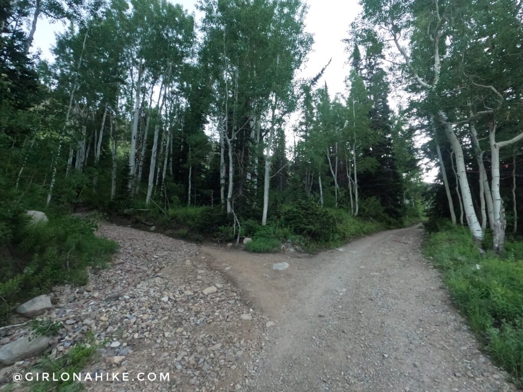
The dirt road turn East again. You’ll follow the power lines most of the hike, until you reach Cardiff Pass.
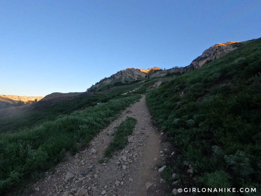
Just after the road turns East, look for the trail splitting off to the left. This is your trail.
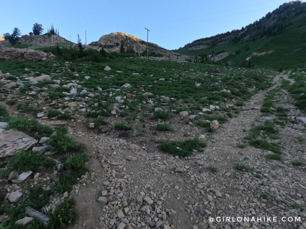
You’ll come to a distinct trail split. To get to Cardiff Pass go left. If you have time and want to get a closer look at the Cardiff Mine, go right/stright..
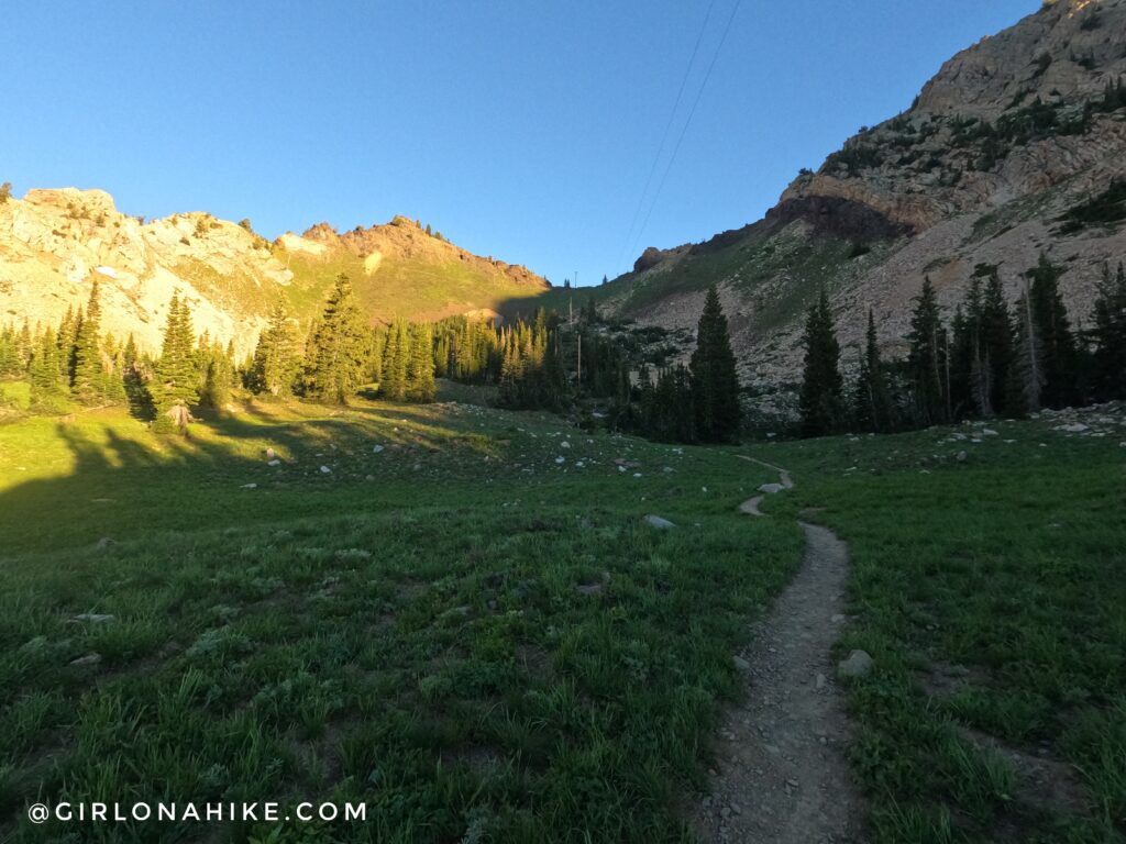
You now have a clear view of Cardiff Pass! Don’t be fooled by the peak to the left – that isn’t Mt. Superior – it’s Christmas Tree Peak, and is called so because in winter there are Christmas lights turned on, and are formed to look like a tree. Hike through the small meadow, and follow the trail until you reach the pass.
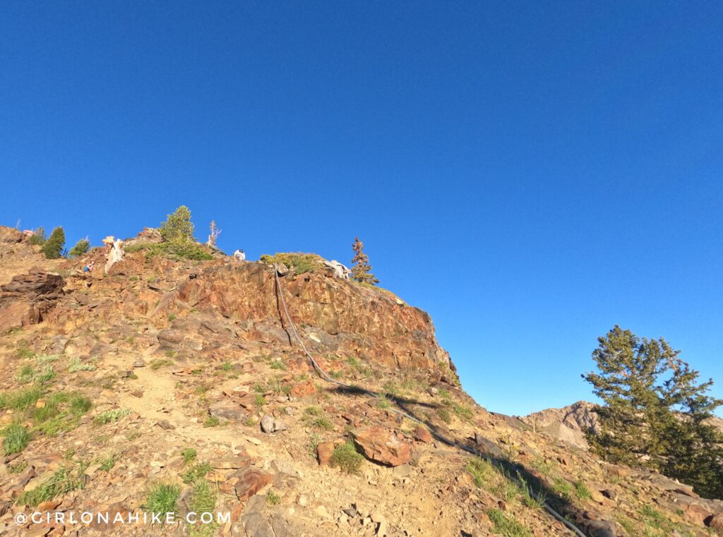
Once at Cardiff Pass, turn left (West) and follow this covered electrical line up this rocky area. Don’t take the trail that curves around the South side of Christmas Tree Peak!
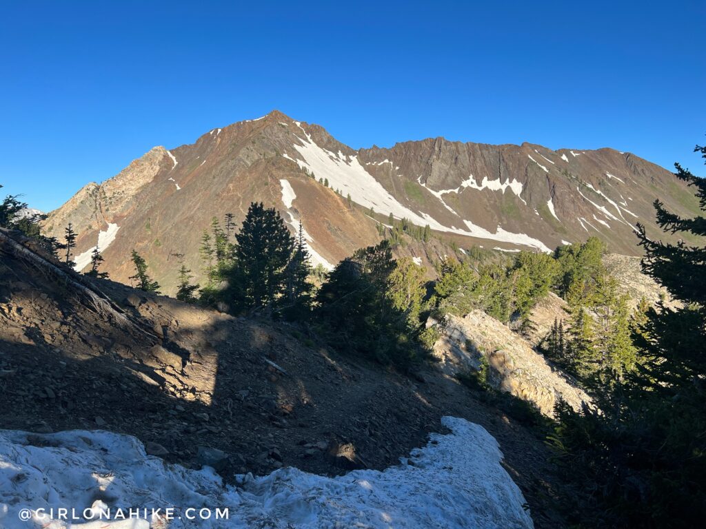
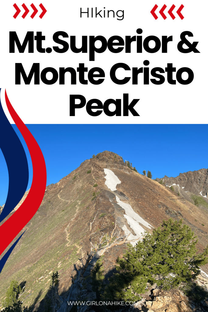
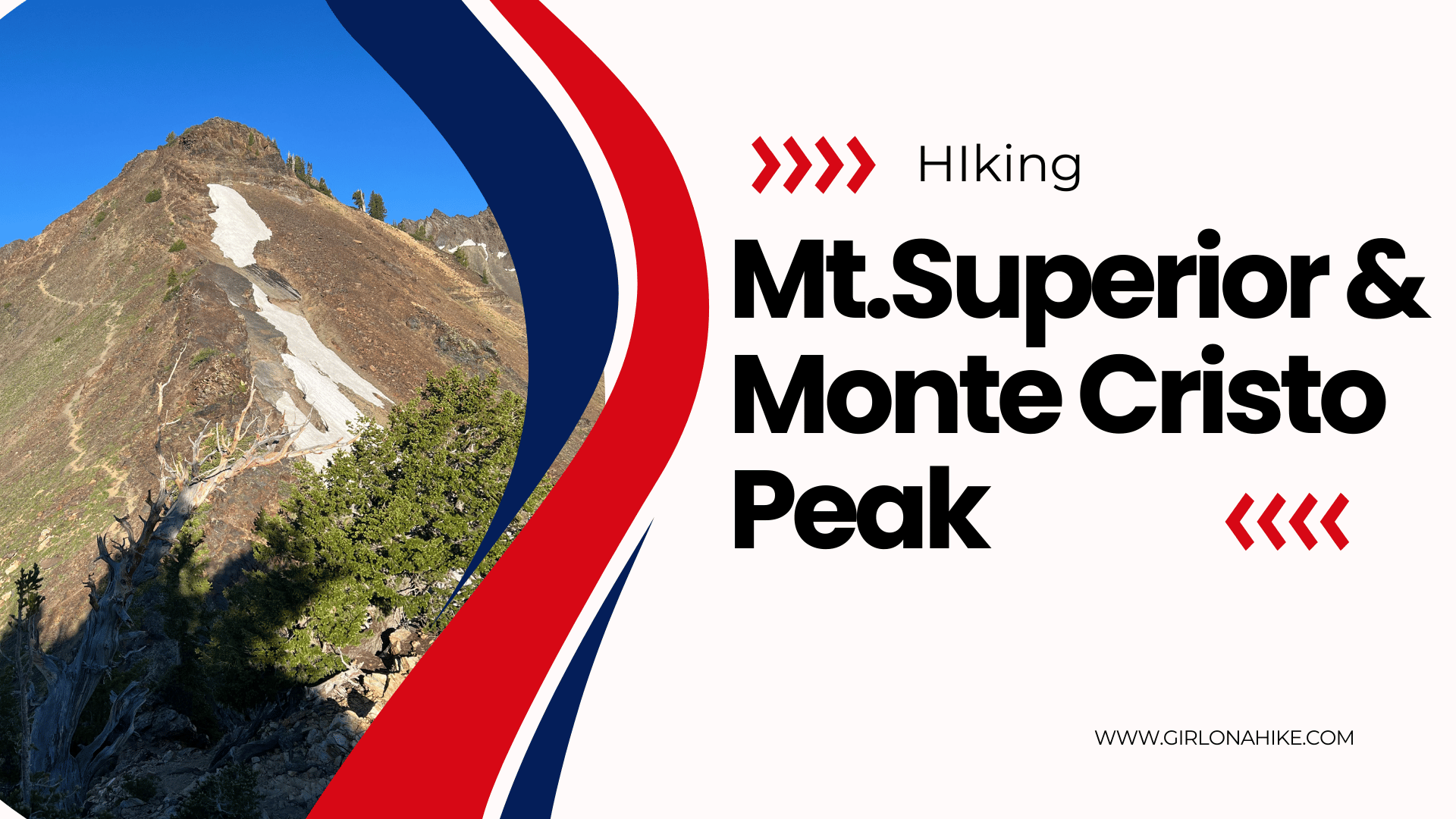
Your first great view of Mt. Superior and Cardiac Ridge (to the right)! Tt’s so close yet so far away!
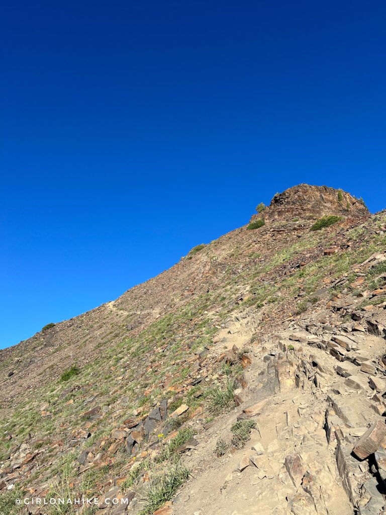
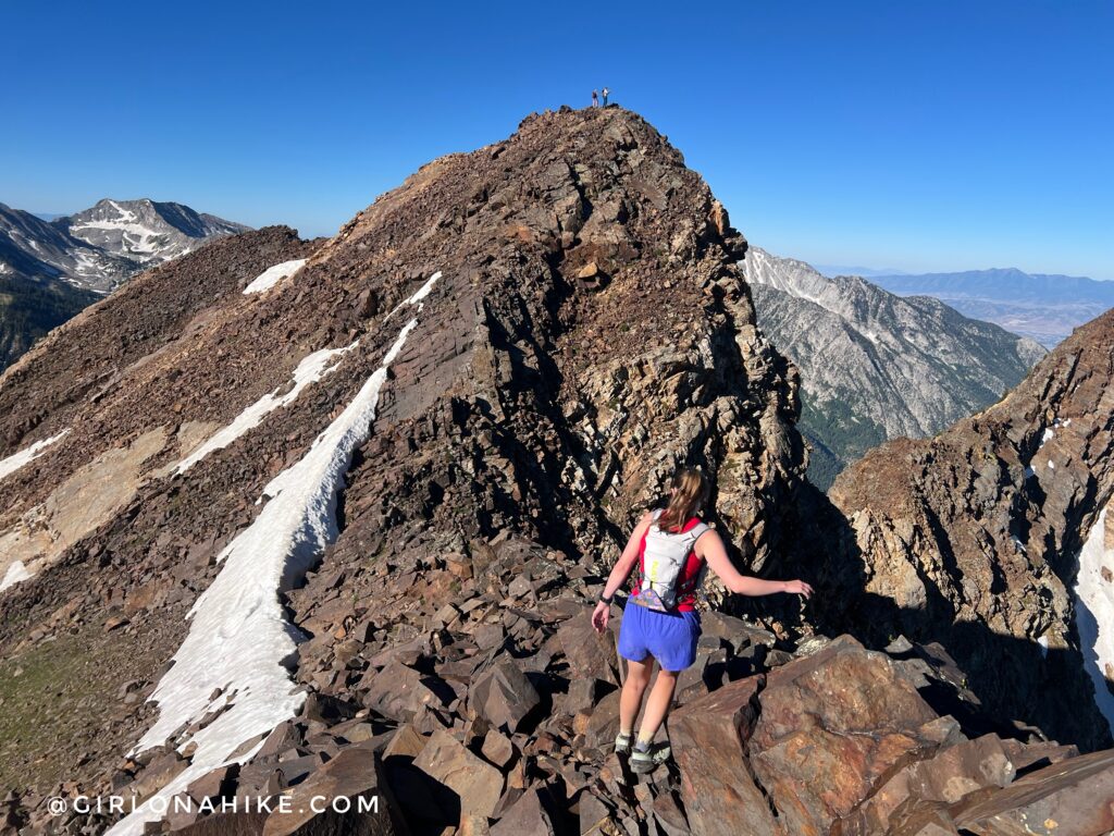
The trail is well defined along this section of the ridge up to Mt. Superior. No scrambling yet!
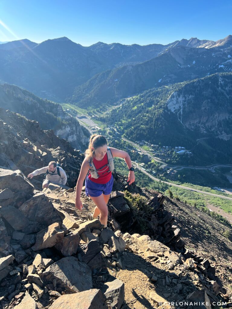
Now you can see the trail gets really steep and there’s more rocks. Starting here, be very careful where you step and keep an eye out for cairns hikers have placed. The higher you stay on the trail, the closer to the ridgeline you’ll be. If you drop down, it’s much harder to climb back up and you’ll get yourself into loose, gravel. Not fun!
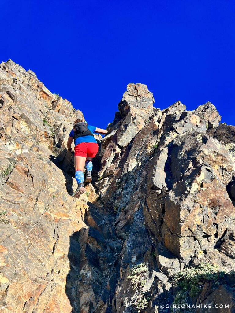
A few sections require some easy climbing up to the ridge. Give your friends below some room, in case you accidentally kick rocks down to them. Another tip – keep everything in your pack, not your pockets. Phones, cameras, etc can easily fall out.
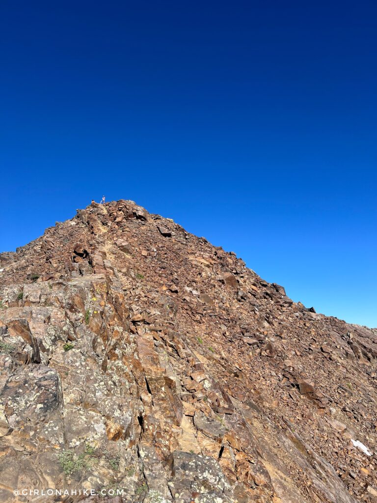
Almost there!
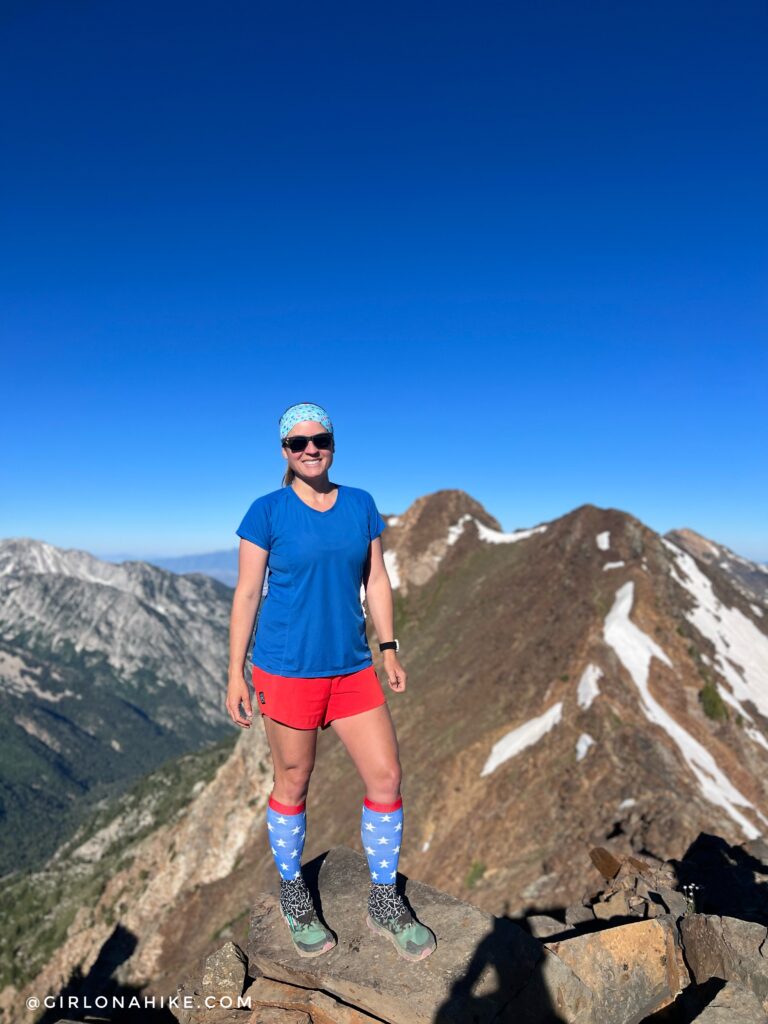
On the summit of Mt. Superior! Monte Cristo Peak is behind me. Headed there next!
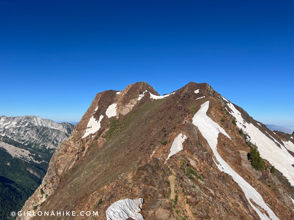
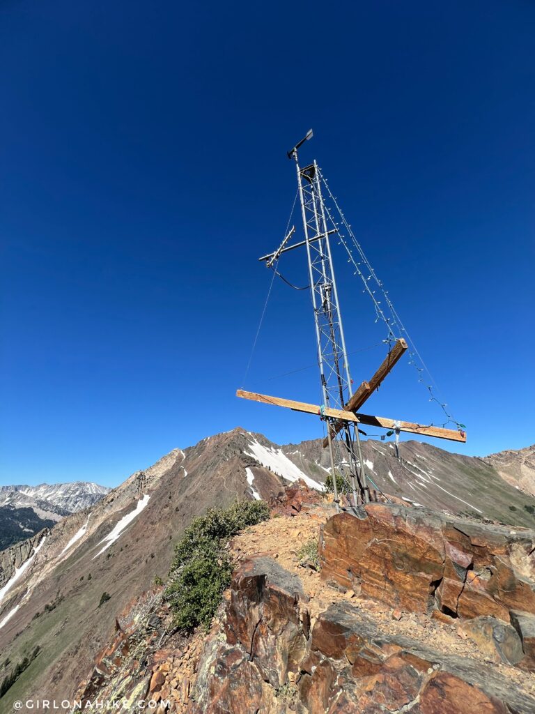
While you are on the ridge, you might as well hike another 15 minutes to bag Monte Cristo Peak! It looks much further and more intimidating than it really is. I thought this ridge was easier than the climb up to Mt. Superior.
We love boulder hopping!
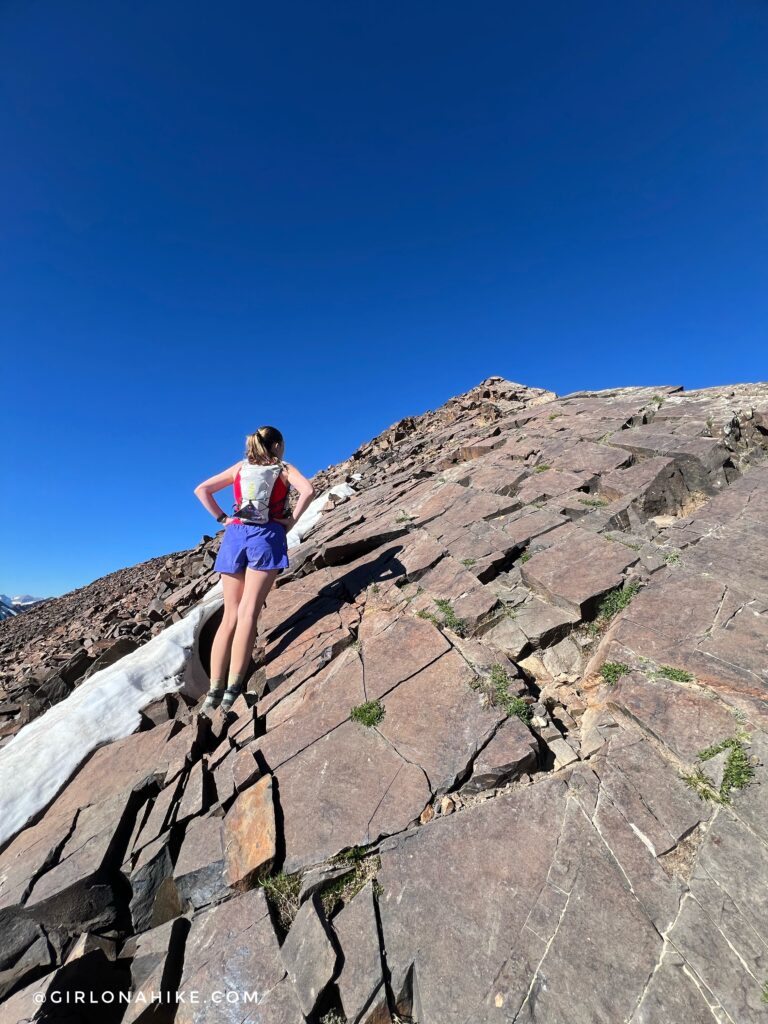
Towards the top are big slabby sections of rock. My favorite!
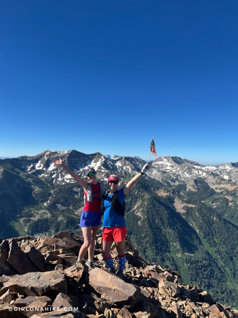
What a great day to spend 4th of July!
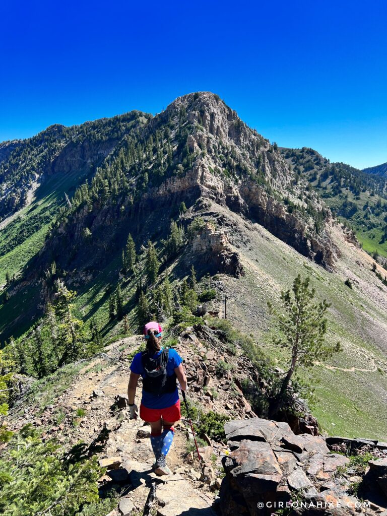
On the hike back, we had enough time to bag Christmas Tree Peak! This is looking back again towards Mt. Superior.
See ya next time!
Trail Map
My track via Gaia GPS – the best tracking app! Get your app here for a discount.
Nearby Hike
Climbing the South Ridge of Mt.Superior
Top 10 Peaks to Bag in Salt Lake City, UT


Save me on Pinterest!