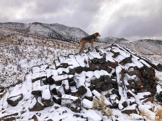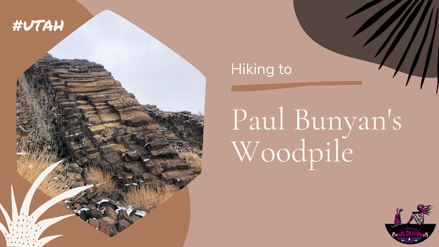
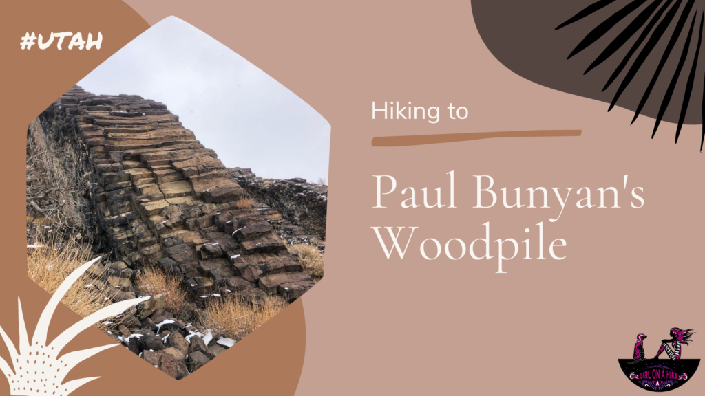
Paul Bunyan’s Woodpile is an interesting geological feature in Central Utah, that looks like a “woodpile” of logs left behind by the giant lumberjack of American & Canadian Folklore. Really the woodpile is a cluster of lava rocks formed about 30 million years ago; the logs were then formed into orderly columns.
About
The hike to see Paul Bunyan’s Woodpile is very easy at only 2 miles RT, and therefore is great for the whole family! Even dogs are allowed off leash. The hike itself follows Riley Canyon, before heading up a few switchbacks to reach the top of the woodpile. You will see remnants of the old aqueduct as you hike along the canyon as well. Once on top you can explore on your own to see different angles of the logs. Nothing like a good geology hike to exercise and learn at the same time!
Directions
Trail Info
Distance: 2 miles RT
Elevation gain: 500 ft
Time: 1 hour
Dog friendly? Yes, off leash
Kid friendly? Yes, all ages
Fees/Permits? None
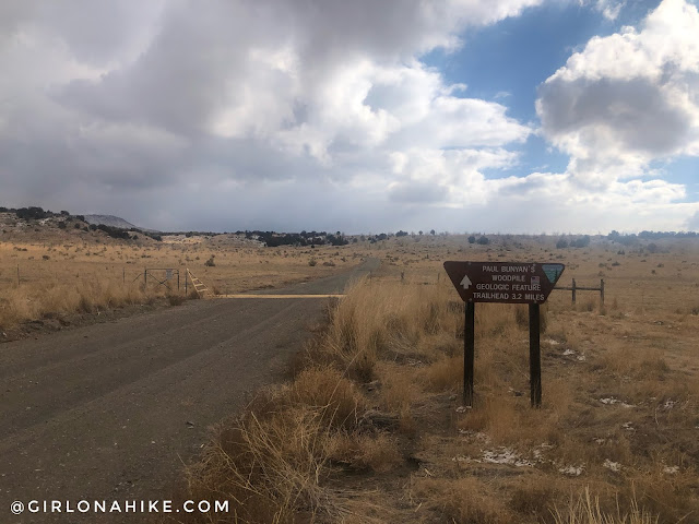
As soon as you turn off HWY 6, you will see the brown sign. Drive to the end of the road.
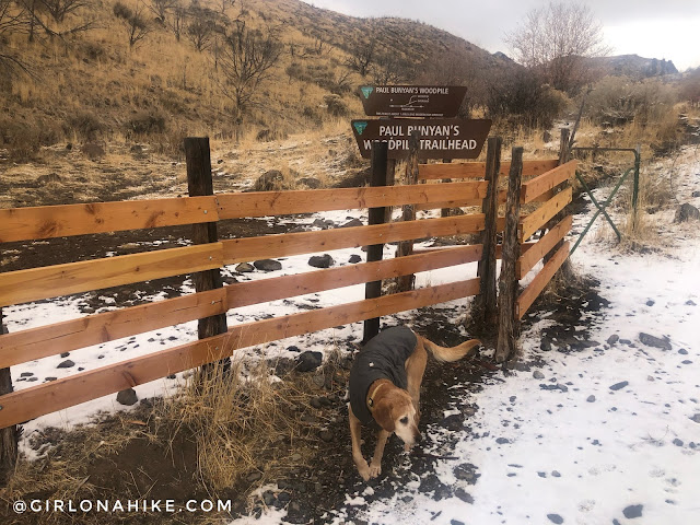
Start by getting through this tight gate. Charlie was kind of scared of it, so he squeezed through the barbed wire fence instead ha! I am not a big person, but this fence was SO tight to get through – you may have to take off your pack and shuffle side to side to get through.
Now just follow the old dirt road North. It looked muddy, but it was actually so cold the mud was frozen!
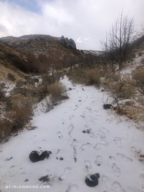
The trail curves around this small hill to the left.
Then after you make the turn you should be able to clearly see the “woodpile”.
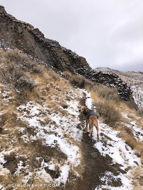
Hike up a few short switchbacks.
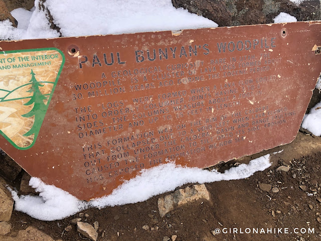
At the very top there is a description of Paul Bunyan’s Woodpile. It’s hard to read, but it basically says:
A geologic curiosity – rare in Utah – the “Woodpile” is a cluster of lava logs formed about 30 million years ago during the Eocene Period. The “logs” were formed when a lava flow cooled into orderly columnar joints having 3 to 6 sides. The columns measure about a foot in diameter and up to 15 feet in length. This formation was on the rim of the caldera that collapsed due to a void left when lava flowed out from under the caldera. Basin and range faulting caused the formation to tilt onto its side. Erosion has exposed the formation we now see.”
– BLM Utah
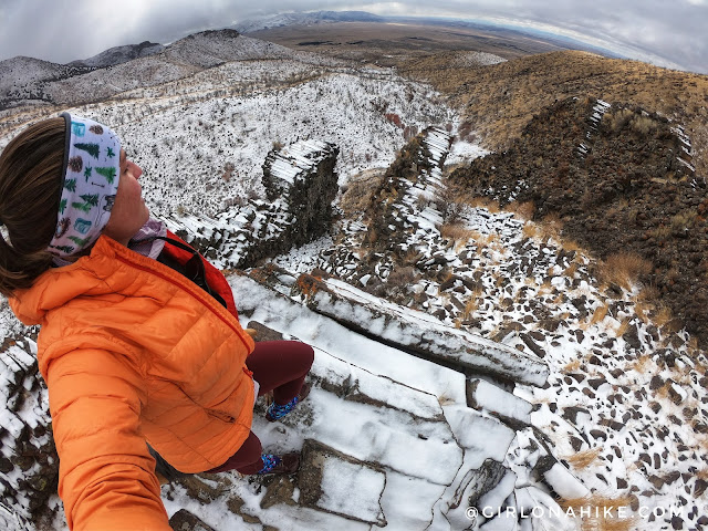
I wanted to climb around a lot more, but the “logs” were frozen and I was worried about slipping on ice.
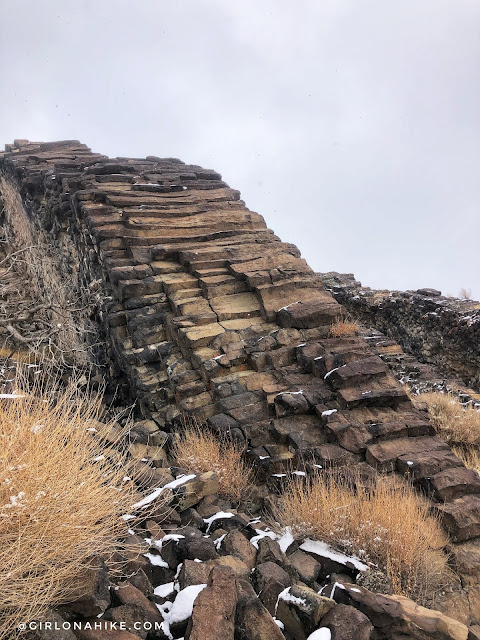
It really does look like stacked wood!
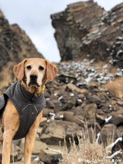
Charlie sniffed out the area for a good photo op!
He loves to climb on everything!
Watch my short video!
Trail Map
Nearby Hike
Save me on Pinterest!


