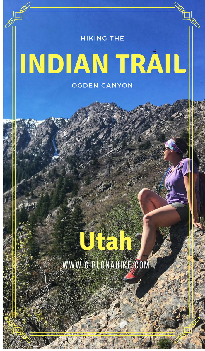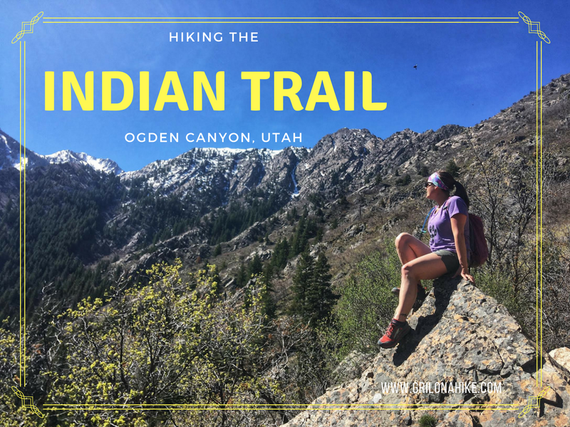

The Indian Trail, located in Ogden, Utah is a beautiful trail that offers views of Ogden Canyon and surrounding areas. It’s best done as a point-to-point route, starting at the Coldwater Canyon TH, and ending at the 22nd Street TH. The hike is really well shaded, and offers a creek for the first mile for the dogs to drink from. Past that, the trails curves around the mountain side, passes an old cabin, several overlooks, and eventually connects to the Bonneville Shoreline Trail (BST). This hikes is best from April-October, or when the trail is snow-free.
Directions
To get to the Coldwater Canyon TH, drive East into Ogden Canyon for 2.3 miles, & look for the brown “Indian TH” sign on your right. Pull into the dirt parking lot, which can fit about 12 cars. Overflow parking is across the road. Leave one car here. Here is a map from SLC.
To get to the 22nd Street TH, drive north on HWY-89 until you see 22nd Street, and turn right. Park at the very end of the road. Leave one car here. Here is a map from SLC.
The easiest way to do this is to first leave one car at the 22nd Street TH, then everyone drives over to the Coldwater Canyon TH, and leave the other car there.
Trail Info
Distance: 4.3 miles point-to-point
Elevation gain: 1,312 ft
Time: 2-3 hours
Dog friendly? Yes, off leash
Kid friendly? No due to length and steepness
Fees/permits? None
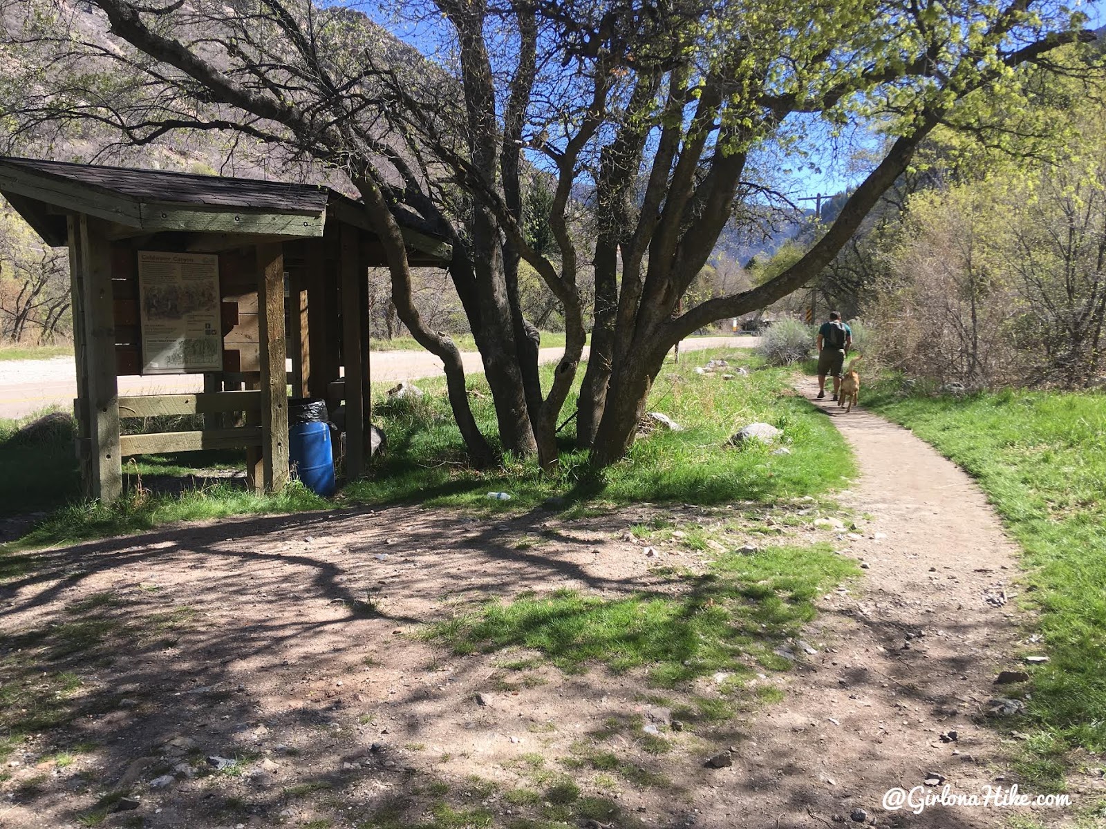
The Coldwater Canyon TH starts in the East side of the parking lot.
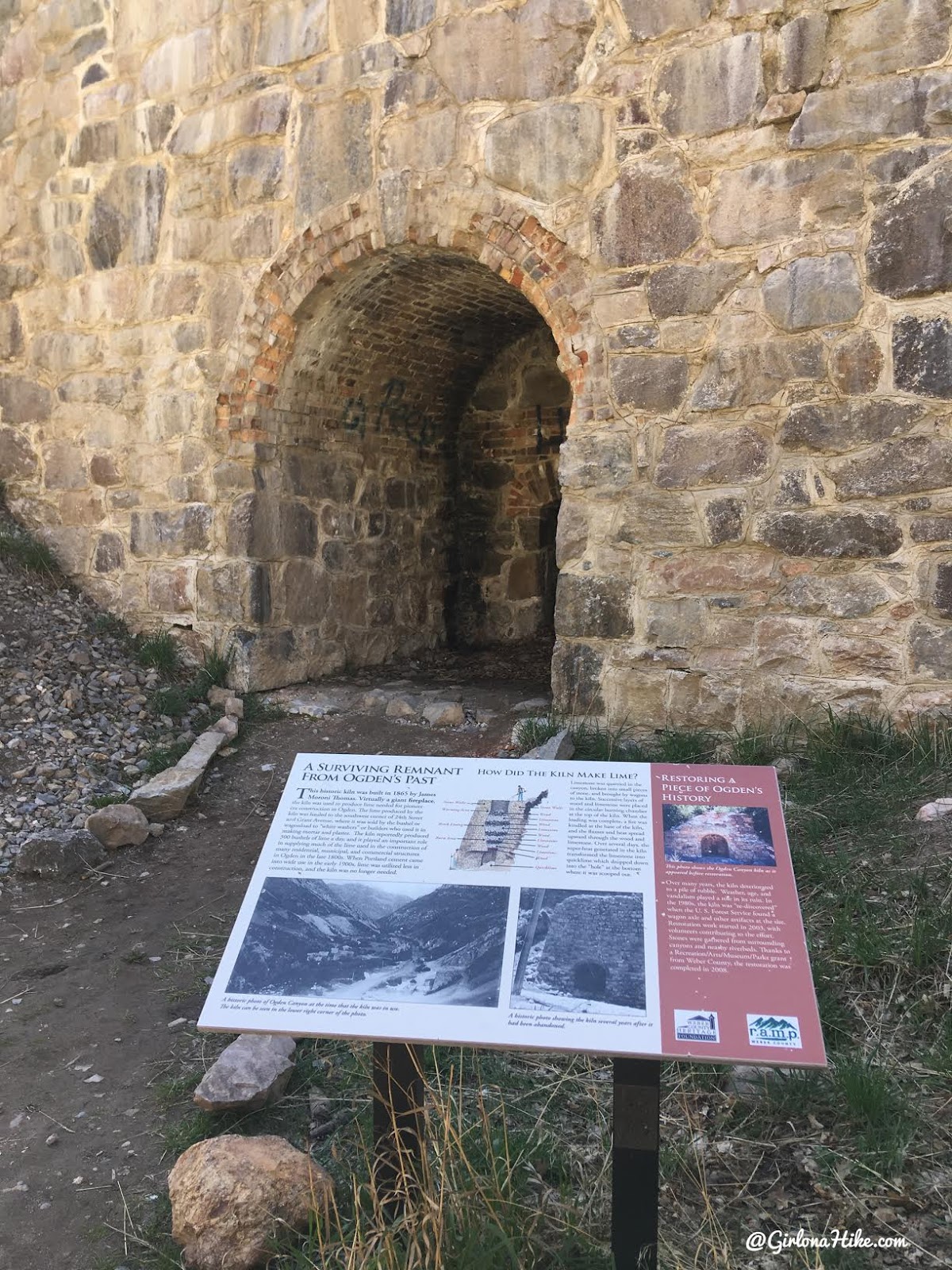
This area was apart of the C.C.C.
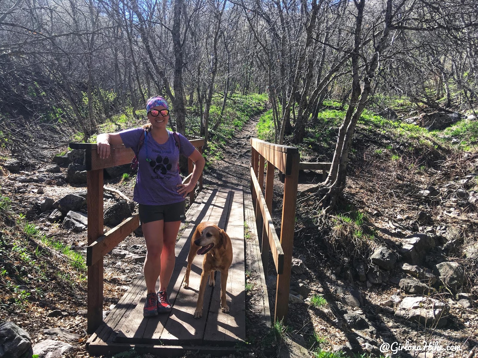
You’ll cross a few bridges. The trail for the first mile or so has a pretty moderate elevation gain. The trail is really shaded, but because of the steepness you’ll still sweat.
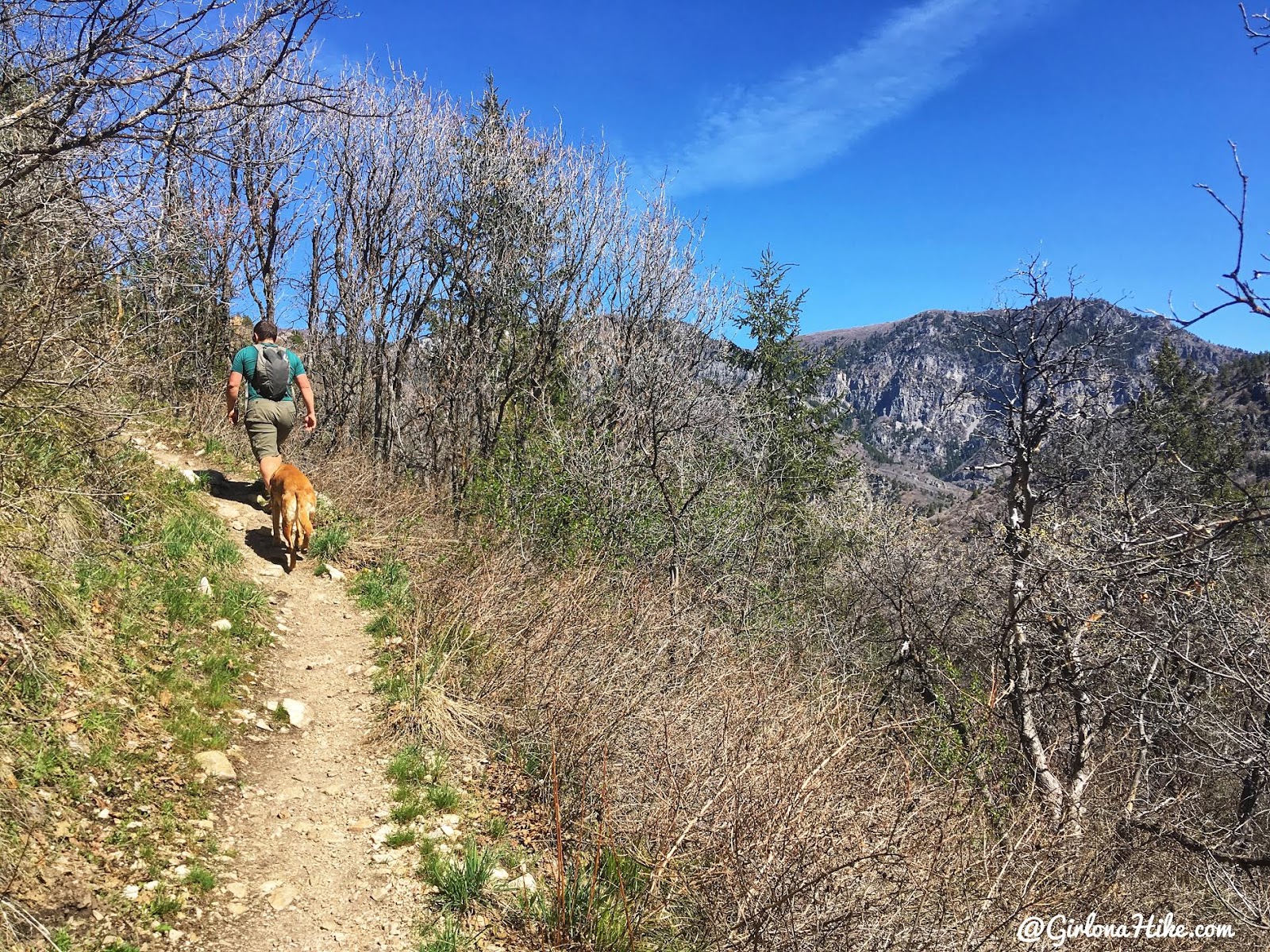
Eventually the trail turns West, and you will start to have amazing views of the surrounding peaks.
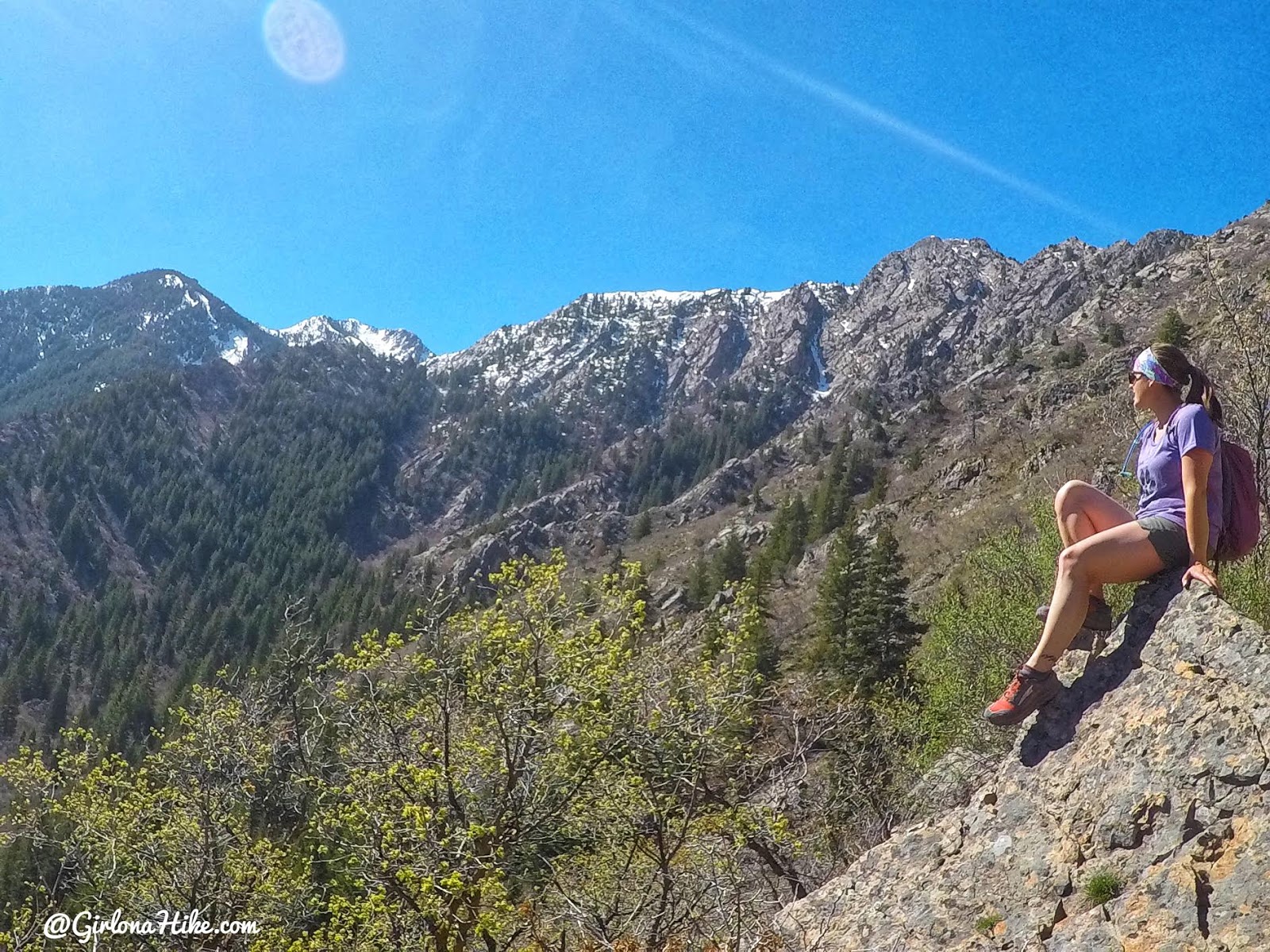
Wow, what a view! You can’t quite see Mt. Ogden, but it’s above this area.
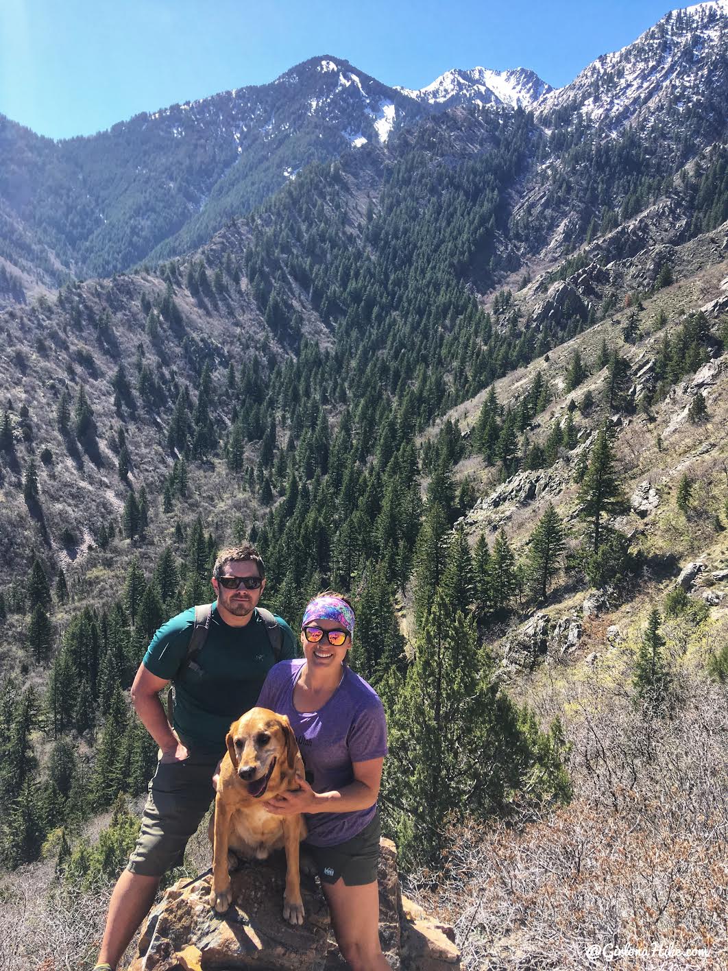
A rare family photo!
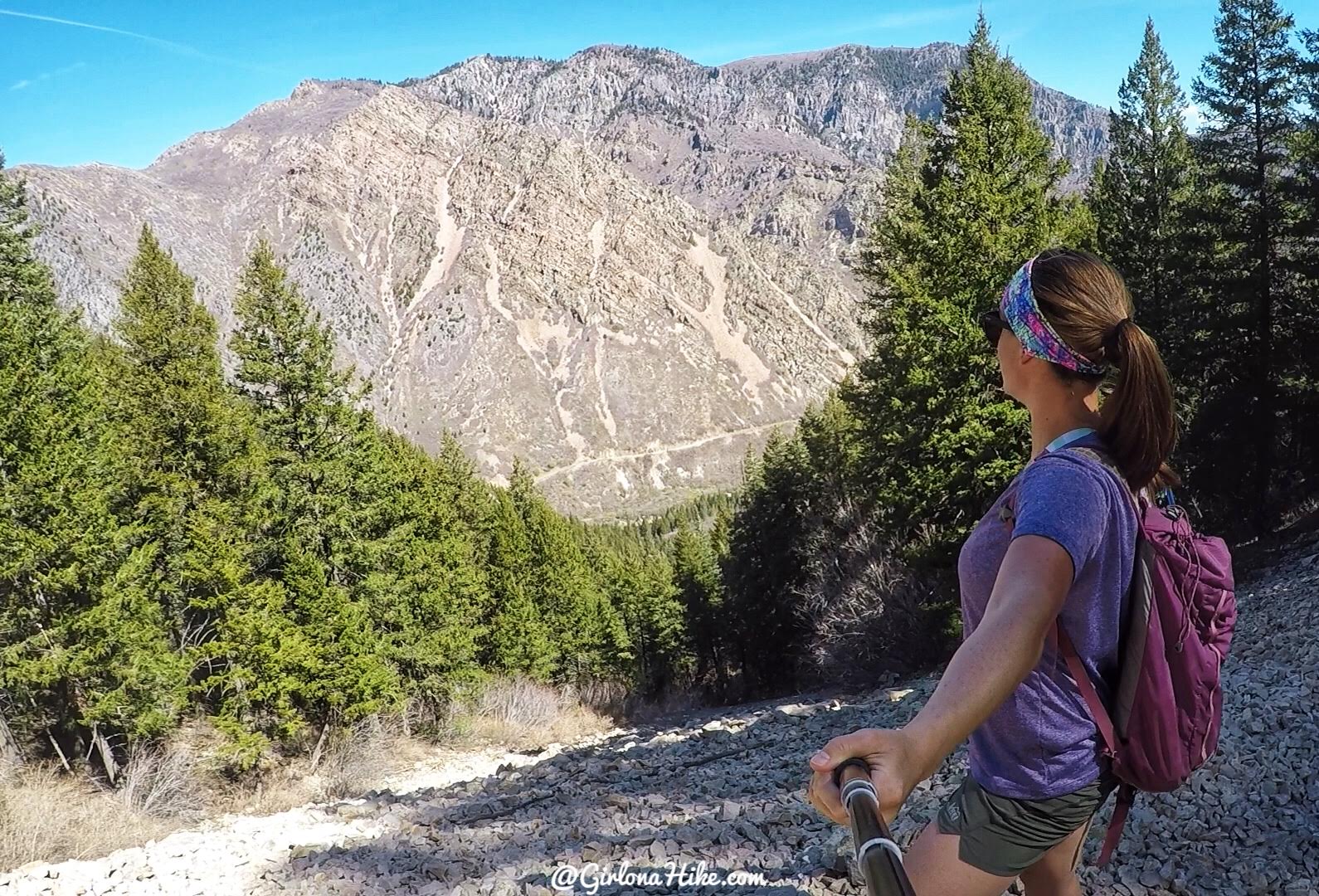
Crossing one of the many avalanche slide paths. I would avoid this trail in winter due to to all the avi danger. If you still feel like you want to hike this in winter, be sure to check current conditions on the Utah Avalanche Center website.
Can’t get enough of the view!
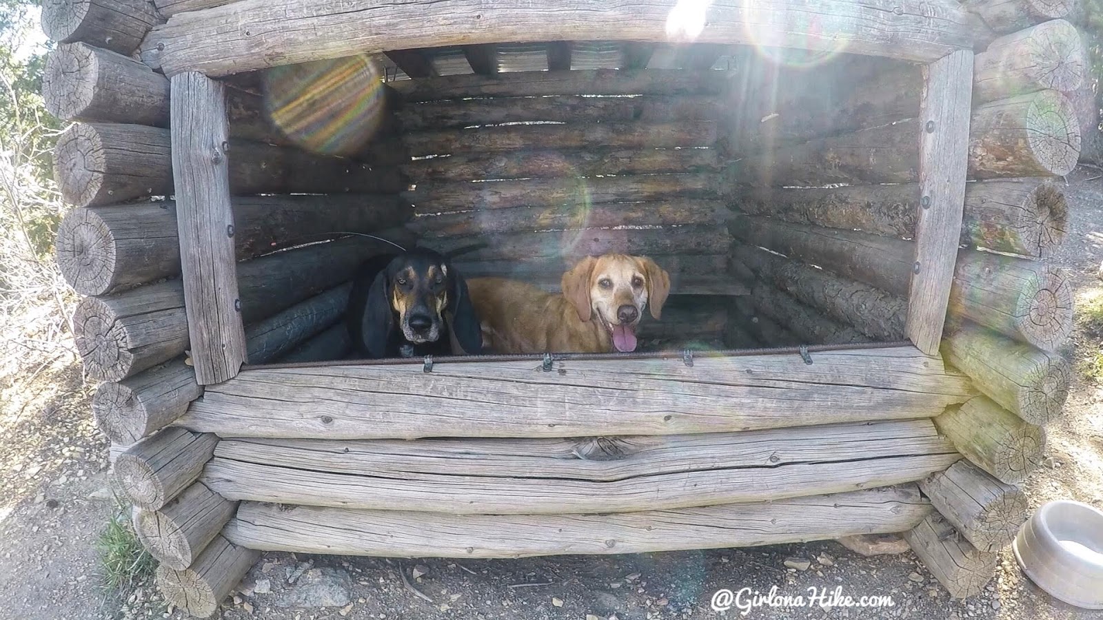
It was getting pretty hot, so the dogs found some shade in this old cabin, at roughly 1.8 miles. Copper is one of our good buddies!
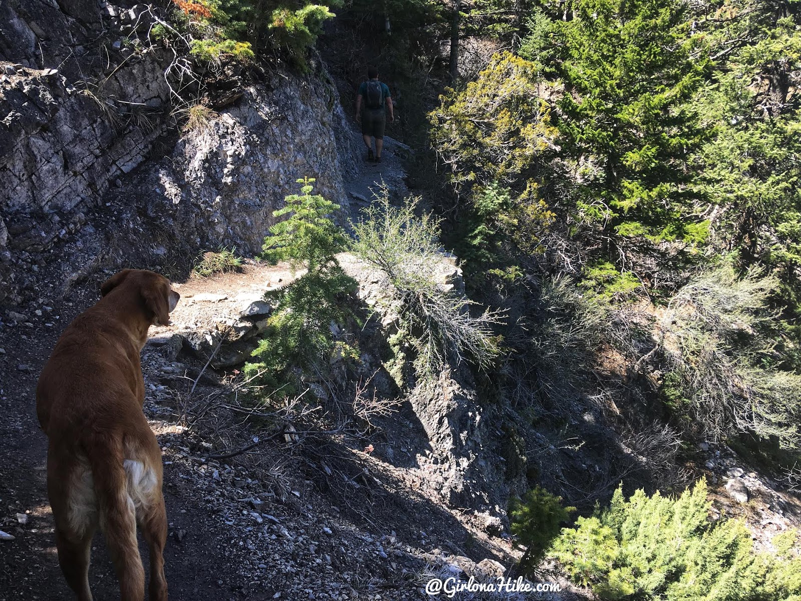
This trail has some sheer drop offs with a narrow trail.
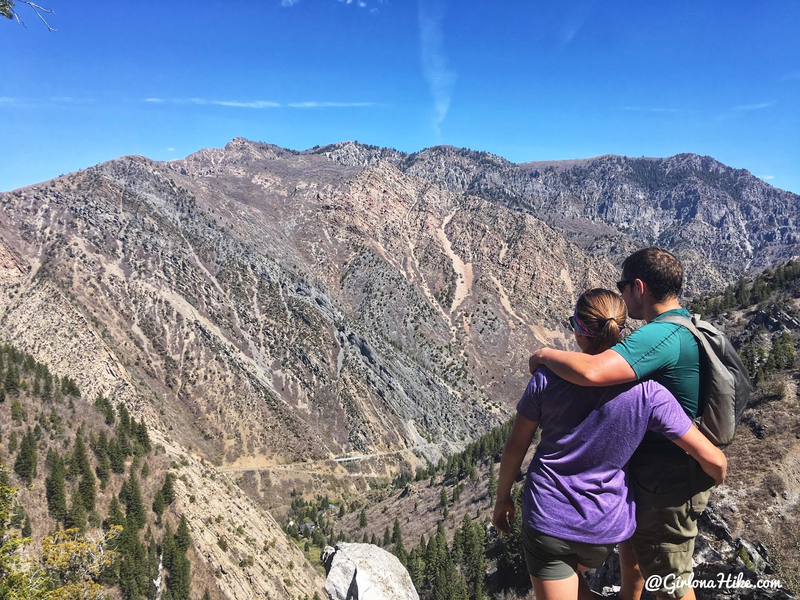
We found several nice overlooks to stop at along the way.
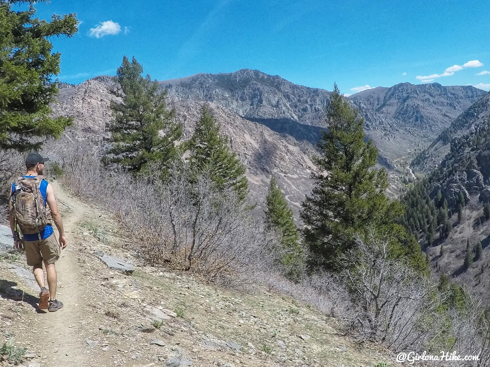
Byron leads the way, and we finally start to hike downhill.
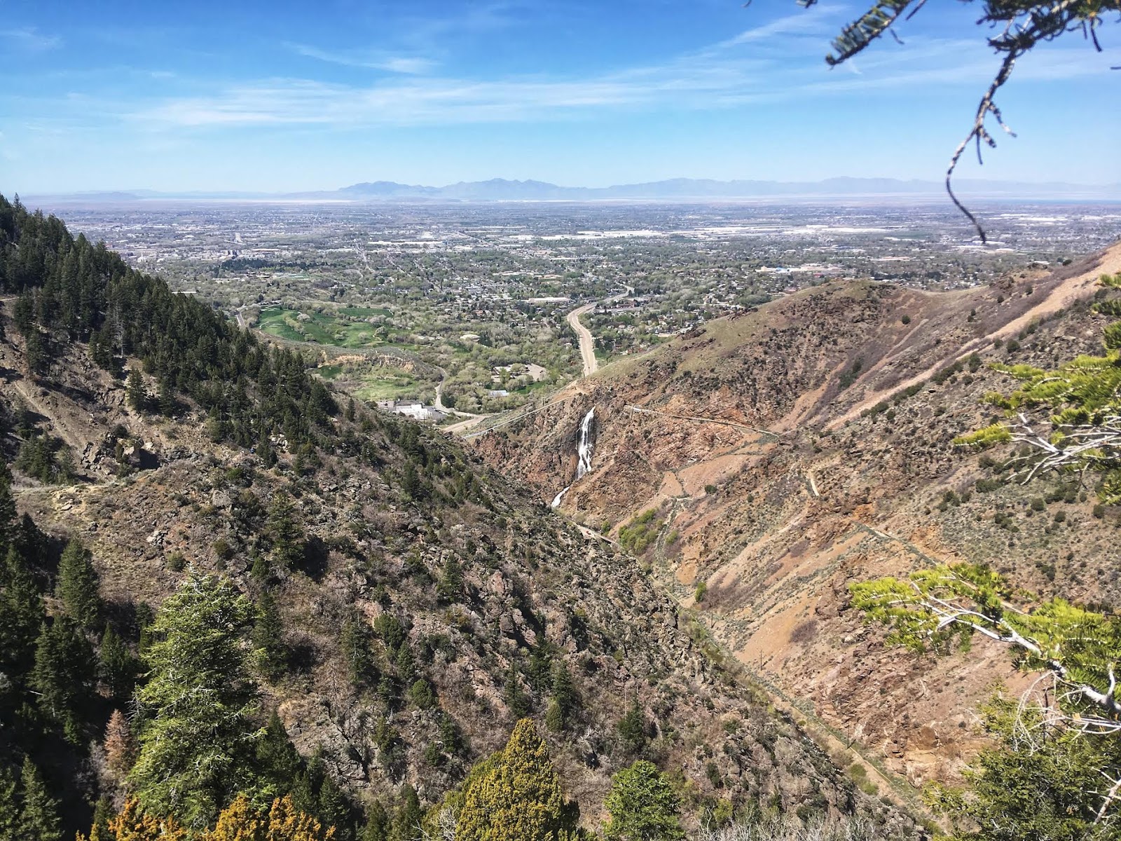
Great view down to the Ogden Canyon Waterfall, and Ogden, UT.
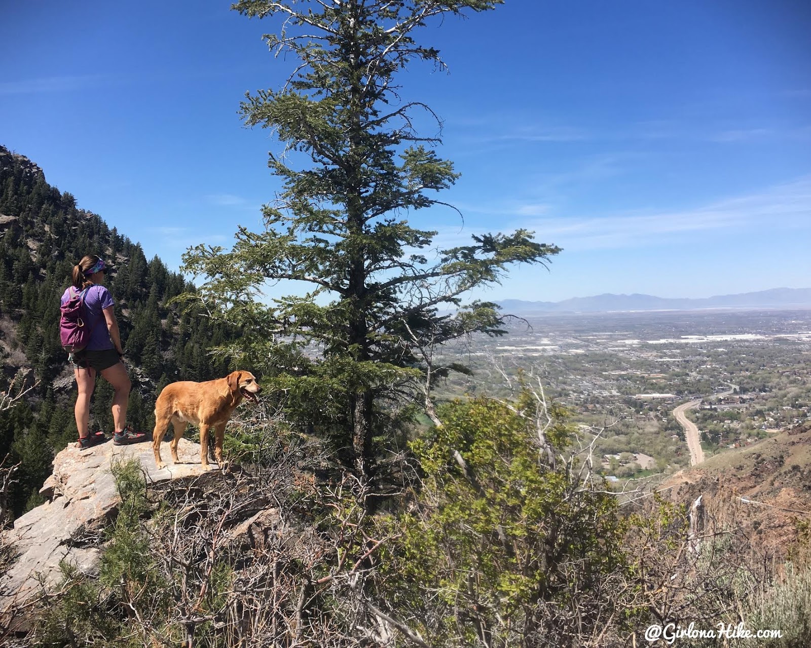
Stopping at another overlook.
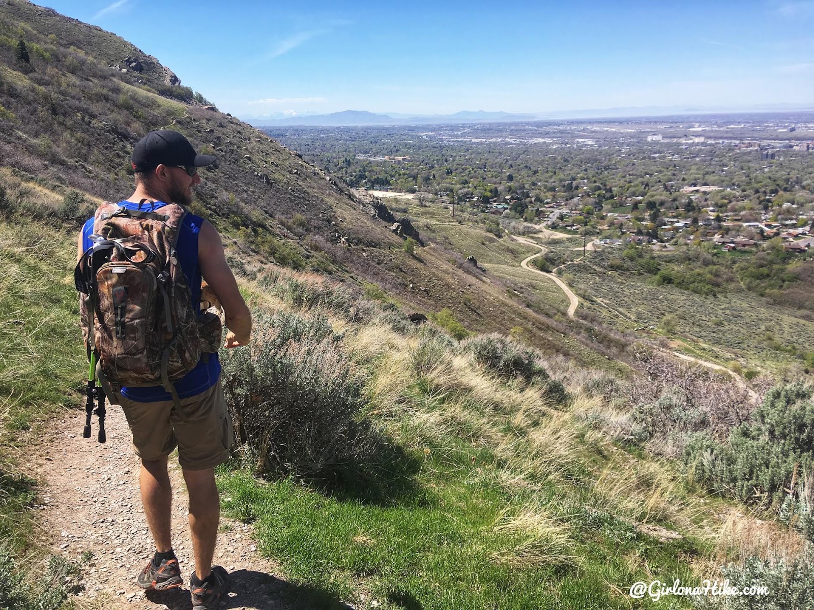
Eventually the trail leads you down to the BST, and there is no more shade.
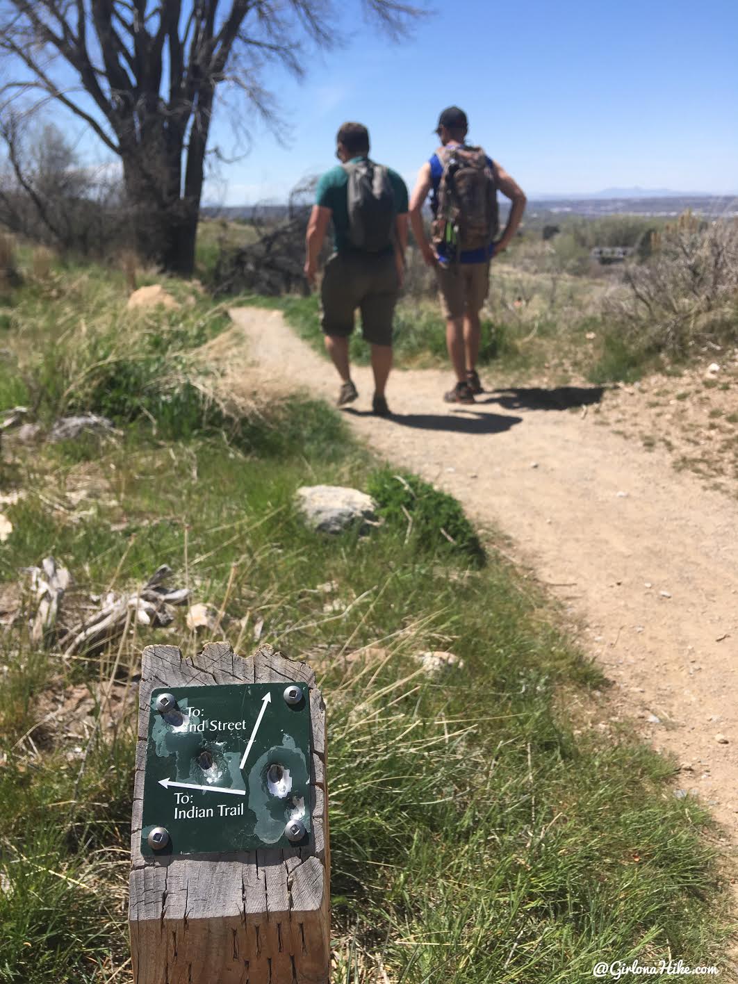
Follow the signs to get back to the 22nd Street TH, where you should have one car parked.
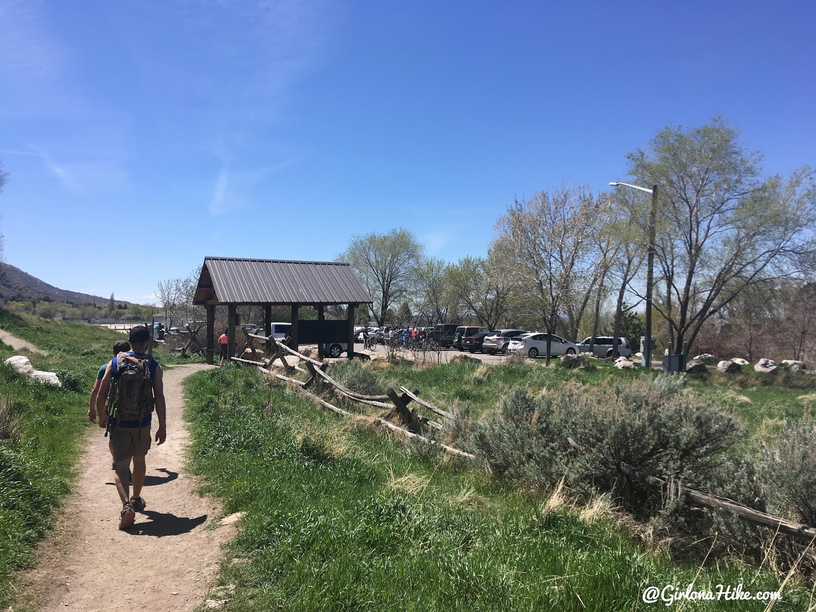
We made it! That was a really pretty and fun hike!
Trail Map
My track via Gaia GPS – the best tracking app! Get your app here for a discount.
Recommended Gear
Nearby Hike
Icebox Canyon via Wheeler Creek

Save me on Pinterest!
