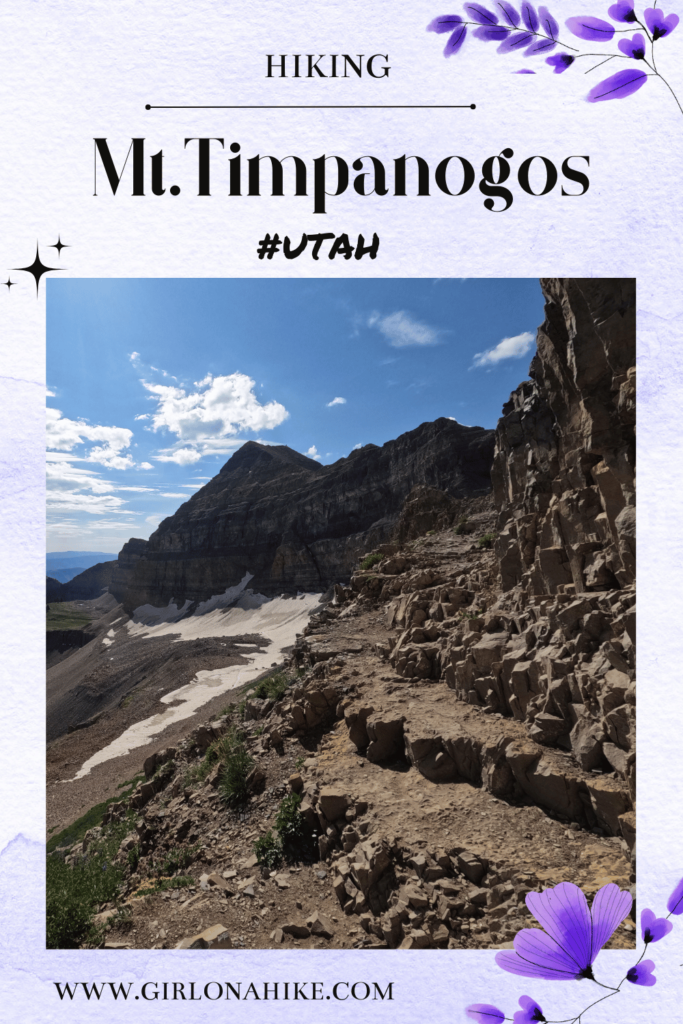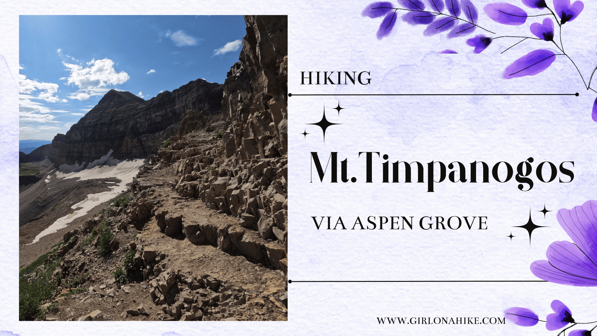
Hiking Mt. Timpanogos (11, 752 ft) is one of the higher peaks in the Wasatch Front, coming in 2nd behind Mt. Nebo. Though Mt. Nebo is the tallest peak in the Wasatch Mountains, it sees less than half the amount of hikers than “Timp” (as us locals call it) does. Hiking Mt. Timpanogos is almost a rite of passage for many Utahans – once completed, many will openly offer up their experience, advice, and how many times they’ve summited.
About
Hiking Mt. Timpanogos, affectionately known as “Timp” to the locals, is an adventure that draws hikers back year after year. While many enthusiasts conquer it annually, a legendary figure like Ben Woosley has reached the summit over 1,000 times! For an unforgettable experience, consider starting your hike at midnight or 1 a.m. to witness the breathtaking sunrise over the Eastern ridgeline. Alternatively, camp in one of the picturesque meadows and continue to the peak at dawn. No matter when or how often you hike, always come prepared with essentials like water, food, sunblock, and a hat. The trek typically takes 6-8 hours round trip, and with little shade, a water filter such as the MSR Hyperflow is highly recommended, especially in the summer months.
There are two main routes to reach the summit of Mt. Timpanogos: the Aspen Grove Trail and the Timpooneke Trail. The Timpooneke Trail is the more popular of the two. I hiked this route about two years ago, starting at 7:30 a.m. on a Saturday. Starting late and hiking on a Saturday meant facing two challenges: 1) navigating through hundreds of fellow hikers, and 2) dealing with the heat and the hassle of parking a mile away. This 16-mile round-trip trail boasts a 4,200 ft elevation gain and treats hikers to sights like Scout Falls, several meadows, and a stunning view of Timp from the south.
For a different adventure, try the Aspen Grove Trail, which shares its trailhead with Stewart Falls and Timp Falls. Although this route gains an extra 500 ft in elevation (totaling 4,800 ft), it’s slightly shorter at 15 miles round trip. The additional elevation often makes it a less crowded option for summiting. When I hiked this trail on a Sunday, we encountered only about 40 people, a far cry from the hundreds on the Timpooneke side. The Aspen Grove side also offers fantastic views of Primrose Cirque and a close encounter with Emerald Lake.
Both routes have their unique charms and breathtaking views. Whichever path you choose, keep an eye out for the mountain goats that call Timp home. Many hikers aim to capture a photo of these majestic creatures, but remember to respect their space and keep a safe distance of at least 100 ft. Check out some frequently asked questions below to help plan your journey.
Directions
To get to the Aspen Grove trailhead from SLC, head south on I-15. Take exit 272 for 800 South in Orem, and head East. Drive straight on 800 S for 3.7 miles, then turn into Provo Canyon. Then drive another 7 miles, until you see the sign for Sundance Ski Resort, and turn left. Drive up this road for 2.6 miles, and drive past the fee station for the Alpine Loop Road. Immediately after the fee station, turn left into the large parking lot. There are restrooms available. Here is a map.
Trail Info
Distance: 15 miles RT
Elevation gain: 4,800 ft
Time: 6-10 hours
Dog friendly? Yes, off leash
Kid friendly? Yes, older kids
Fees/Permits? There is a $10 fee to enter AF Canyon. It’s FREE if you have an annual AF Canyon Pass or annual National Park Pass. No Permits are required.
FAQS
Can I bring my dog?
Yes, dogs are allowed off leash. However, only bring your dog if they hike frequently, and are use to that high of mileage and elevation gain. Dogs also need at least 2 Liters of water, so if you have a backpack for them, they can carry their own water. If they don’t have a backpack, plan on carrying 4-5 liters for water for you and your dog.
Is this a good trail for kids?
Yes for older kids. I have seen babies in backpacks and some younger kids too. Just like with dogs, kids should have plenty of hiking experience under their belt, and be able to carry their own water and snacks.
What time of year is best to summit Timp? How early should I start?
The best time of year is Mid-July through the first week of August, when most of the snow is gone and the wildflowers are in full bloom. If you are doing this as a day hike, I recommend starting no later than 5am to beat the heat and the crowds.
Can I camp/backpack on the way to the summit?
Taking your time to camp in one of the meadows, then summit the next day is a great way to spend your time on this mountain. Not only will you get to experience the beauty of Mt. Timpanogos in various ways, but you won’t feel in a rush to summit. Camping on these trails are free and follow backcountry camping Forest Service rules:
– campsites must be at least 200 yards from any water source
– campsites must be a least 100 yards off any trail
– no creating new campsites (use previously used sites)
– fires must be contained in a previously used fire ring, and put out with water when done.
– all Leave No Trace principles apply
Let’s get to the trail!
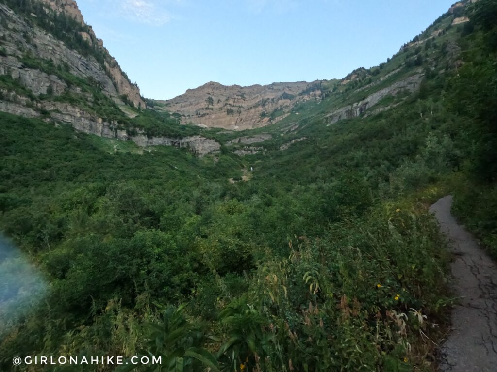
At the first trail split, turn left. You will then have an open view of the entire basin.
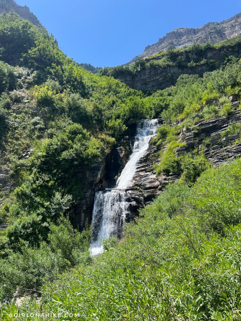
Taking a little stop to check out First Falls.
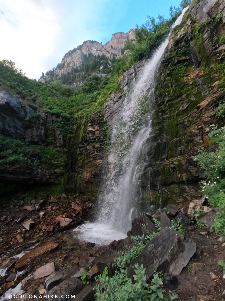
Then we passed Timp Falls, another great spot to stop and take a breather.
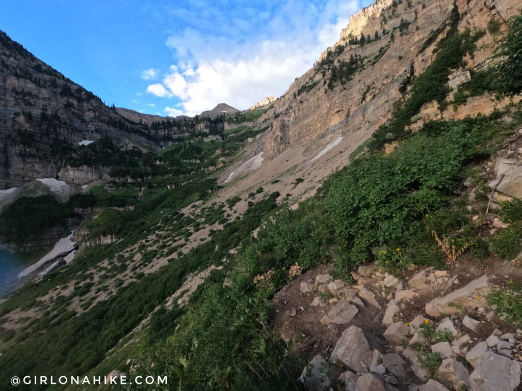
Crossing the rock side area. The trail is very well defined and solid – no need to worrying about sliding off the edge.
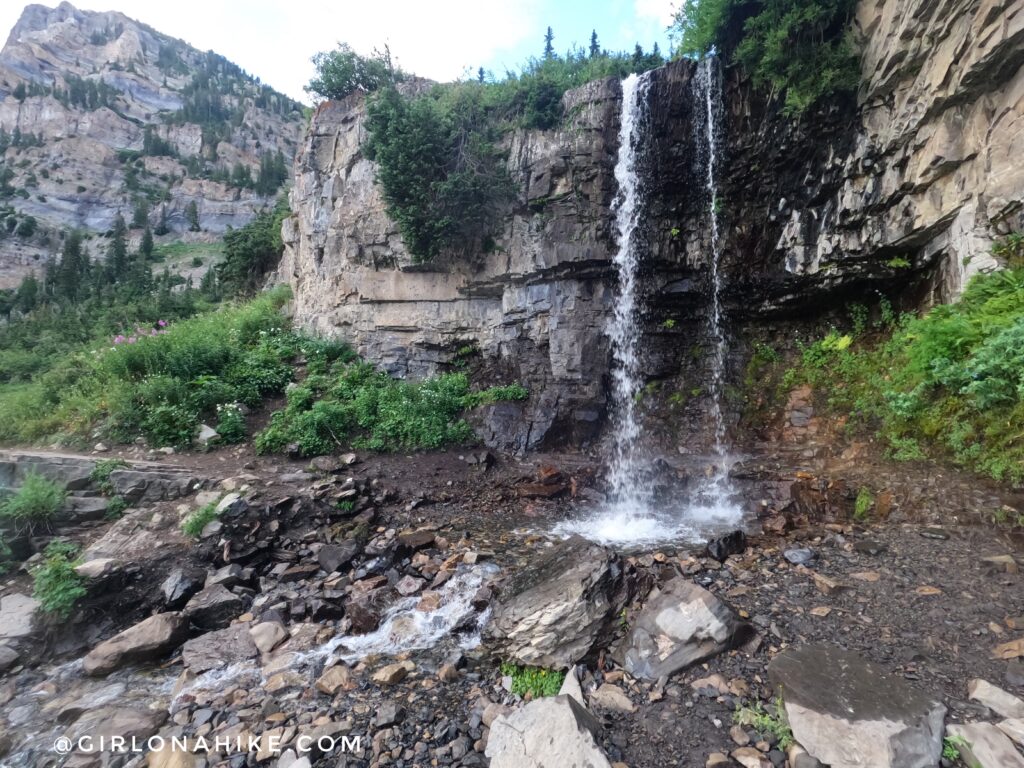
Along the trail, you can find small trickles of water and shady spots in late July. This is great for the dogs!
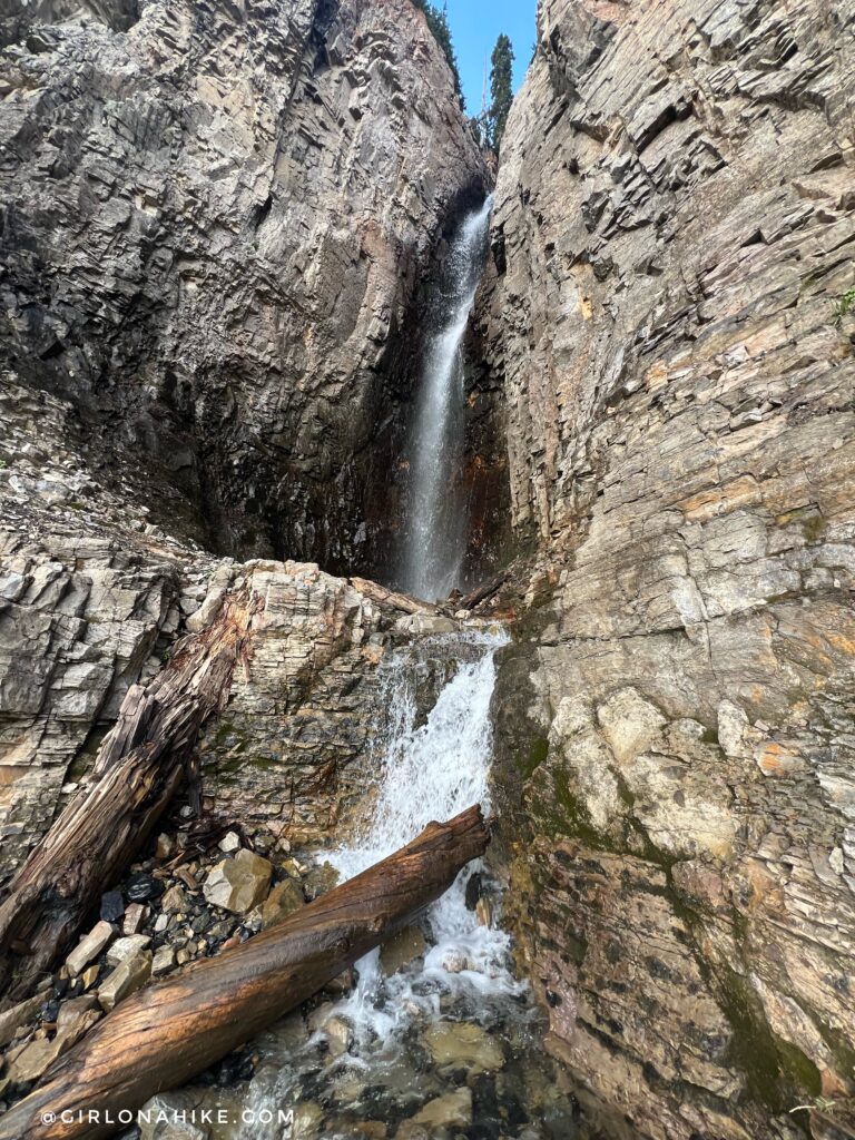
Along the switchbacks in the Primrose Cirque, you will pass several other waterfalls. These may or may not be here depending on how the Winter was.
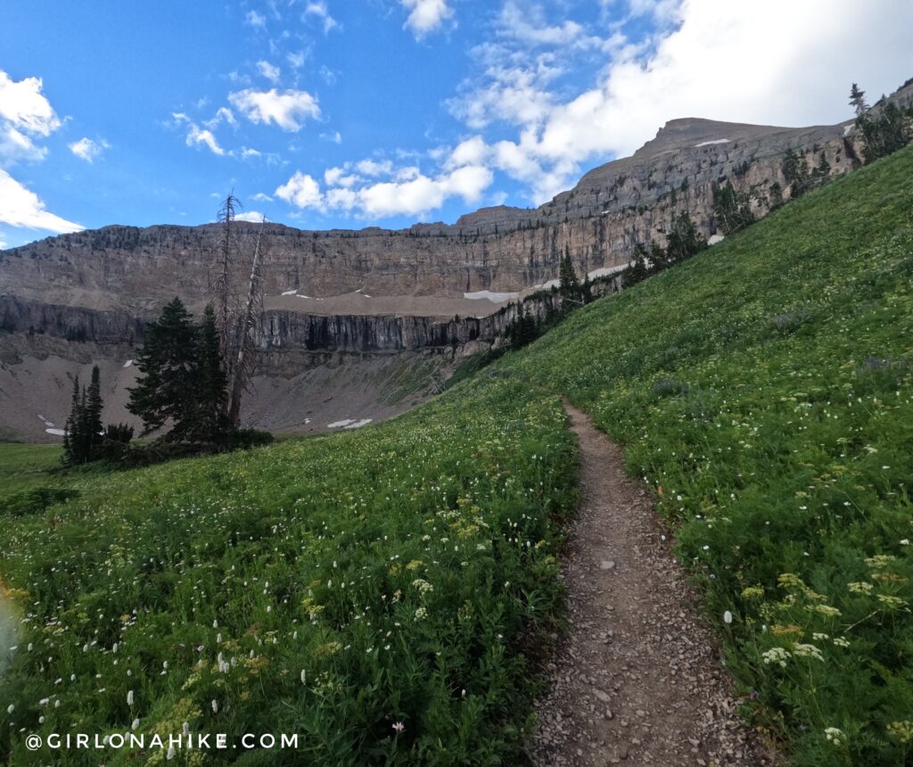
At about 4 miles the trail reaches the next ledge on the mountain, and flattens out a bit.
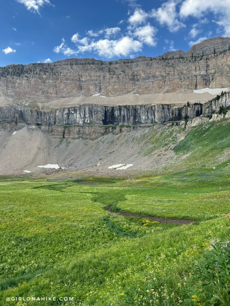
This next smaller basin is so gorgeous! I usually spot mountain goats in these cliffs.
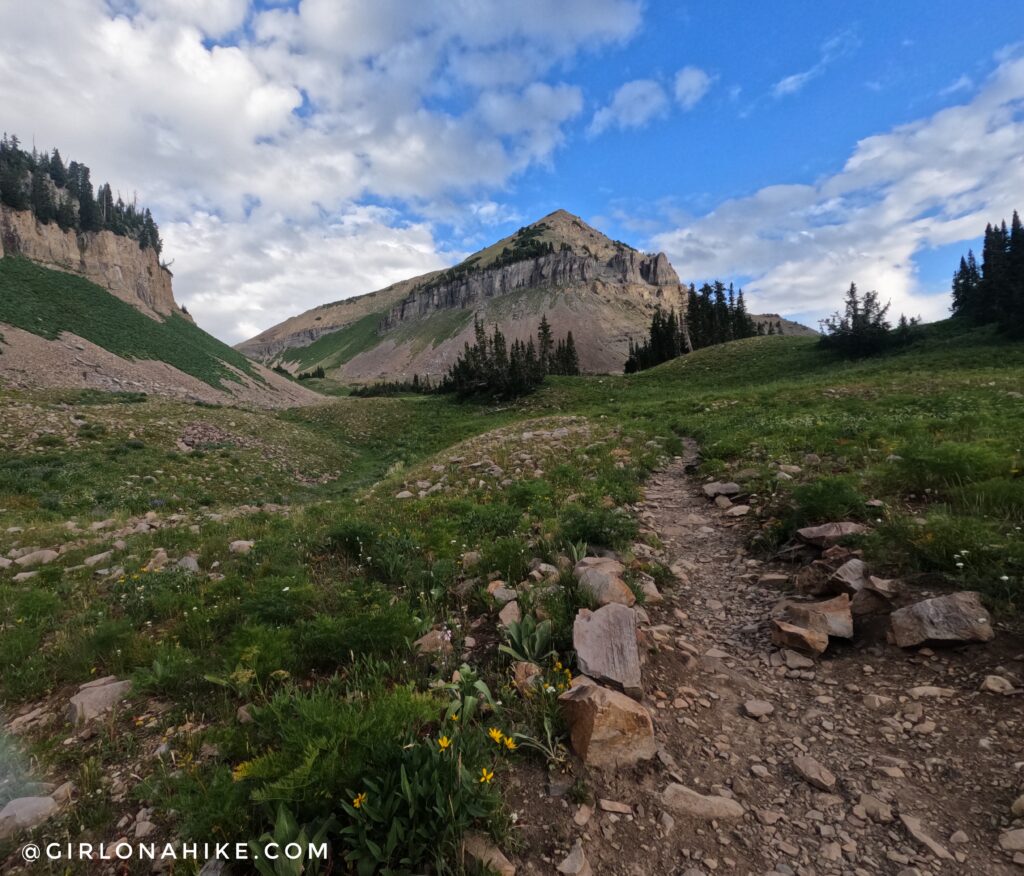
Getting a nice view, looking NW, to where the trail continues as we turn a corner.
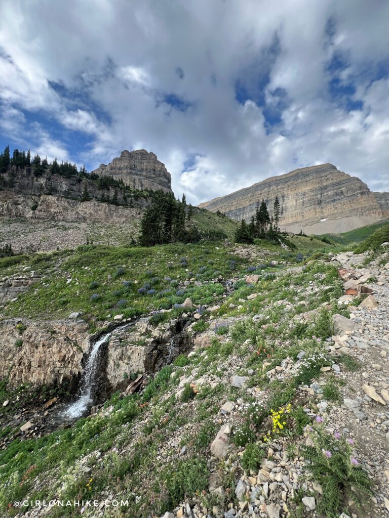
Rounding the corner, we could finally see our destination – the high ridge on the right.
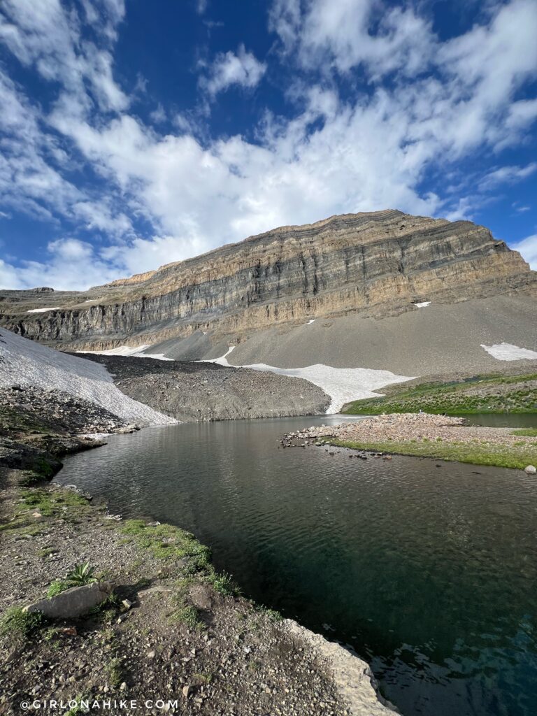
Passing by Emerald Lake.
Just a reminder that you must camp 200 yards away from all water sources as required by the National Forest Service.
The upper snow patch is what some people refer to as the “glacier” on Timp. So if you hear of this, this is what they are talking about. It’s not really a glacier, simply a snow patch that never melts during summer. Technically, a glacier is a “slowly moving mass or river of ice formed by the accumulation and compaction of snow on mountains or near the poles.”
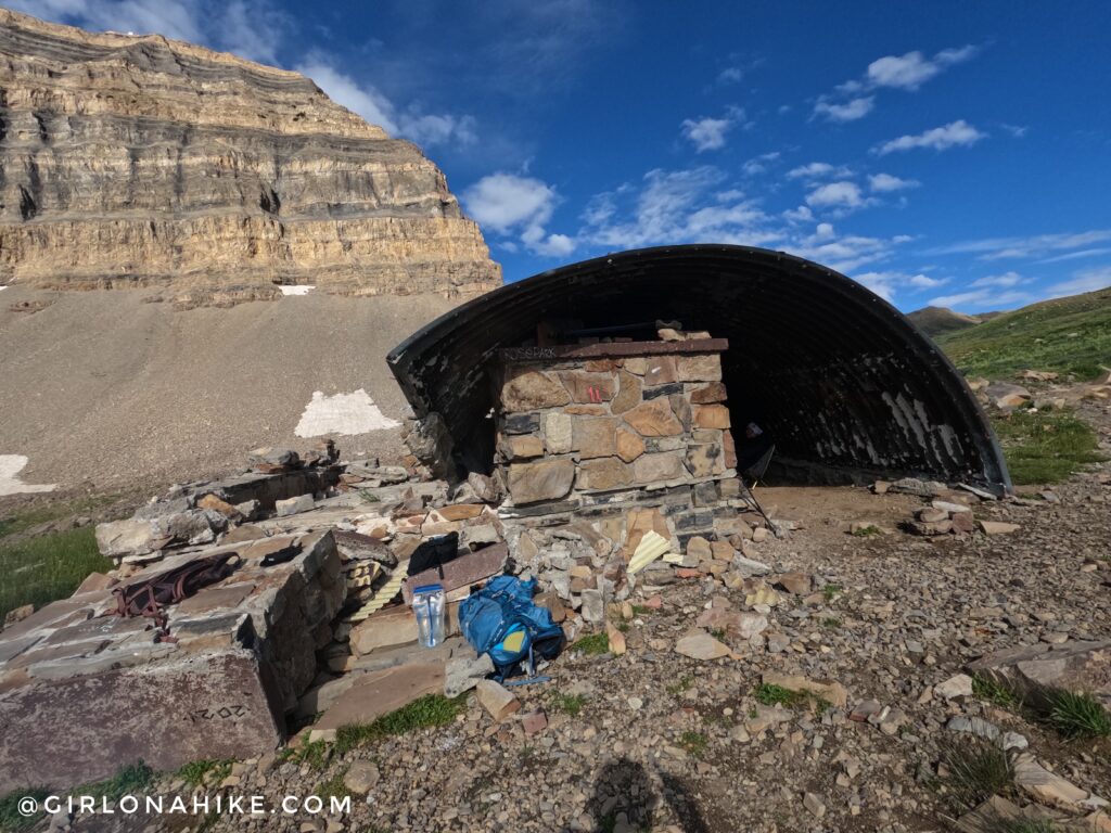
At mile 5.5 you’ll reach the shelter. In 2022 it was a shelter then an avalanche tore the roof.
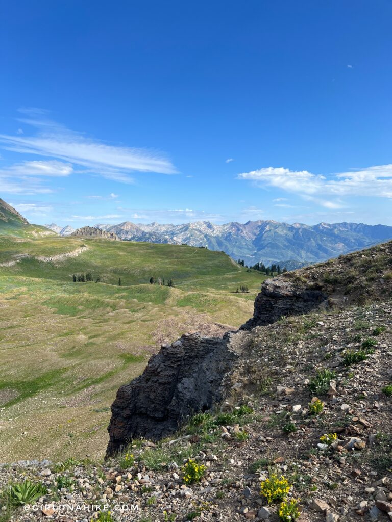
You can’t tell from this photo, but you can also see where the Timpooneke Trail comes in to this meadow.
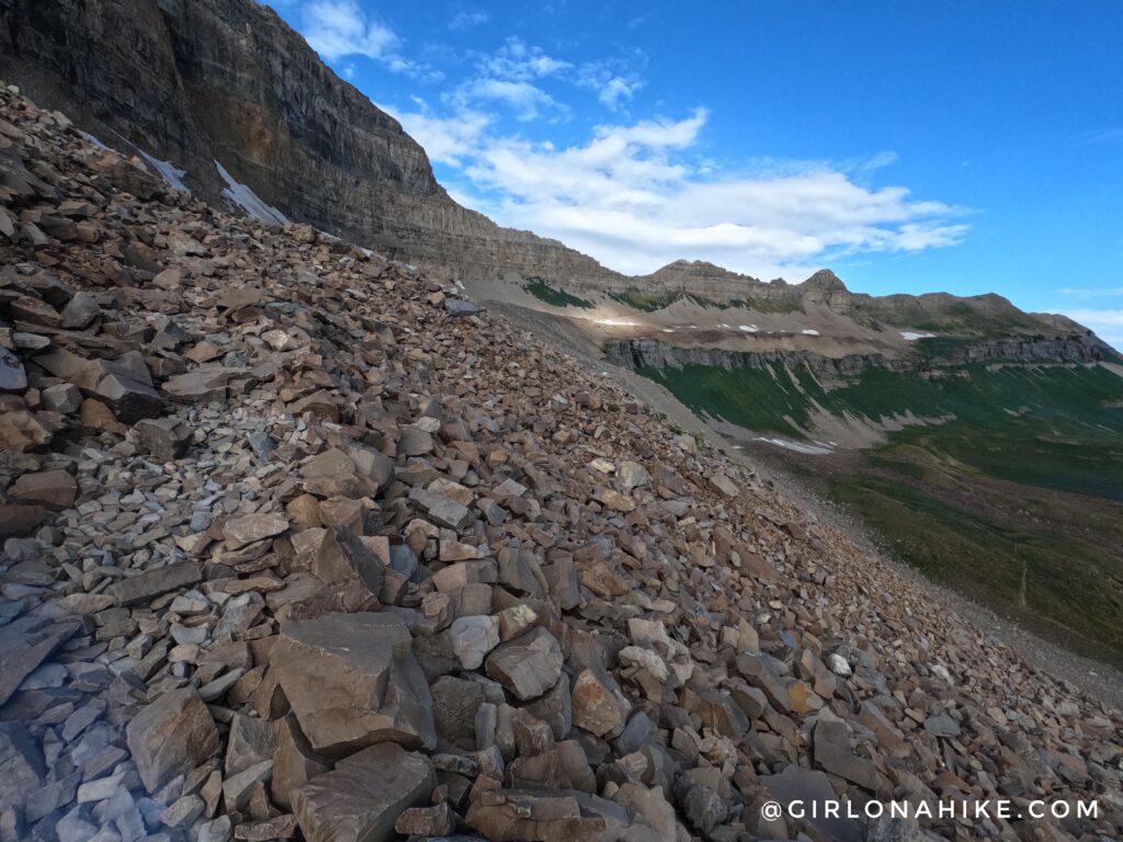
The trail will not cross over this boulder field. As long as you follow the cairns you’ll reach the saddle.
To get to the saddle, aim for the small saddle straight ahead.
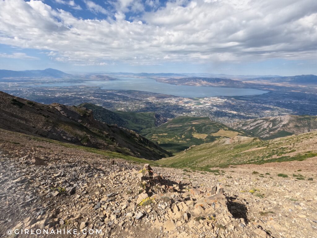
Now at the saddle, with a great view of Utah Lake! Turn left here.
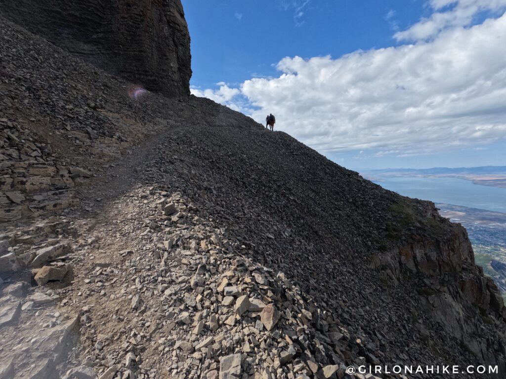
Work your way up the rocky ledge, following cairns.
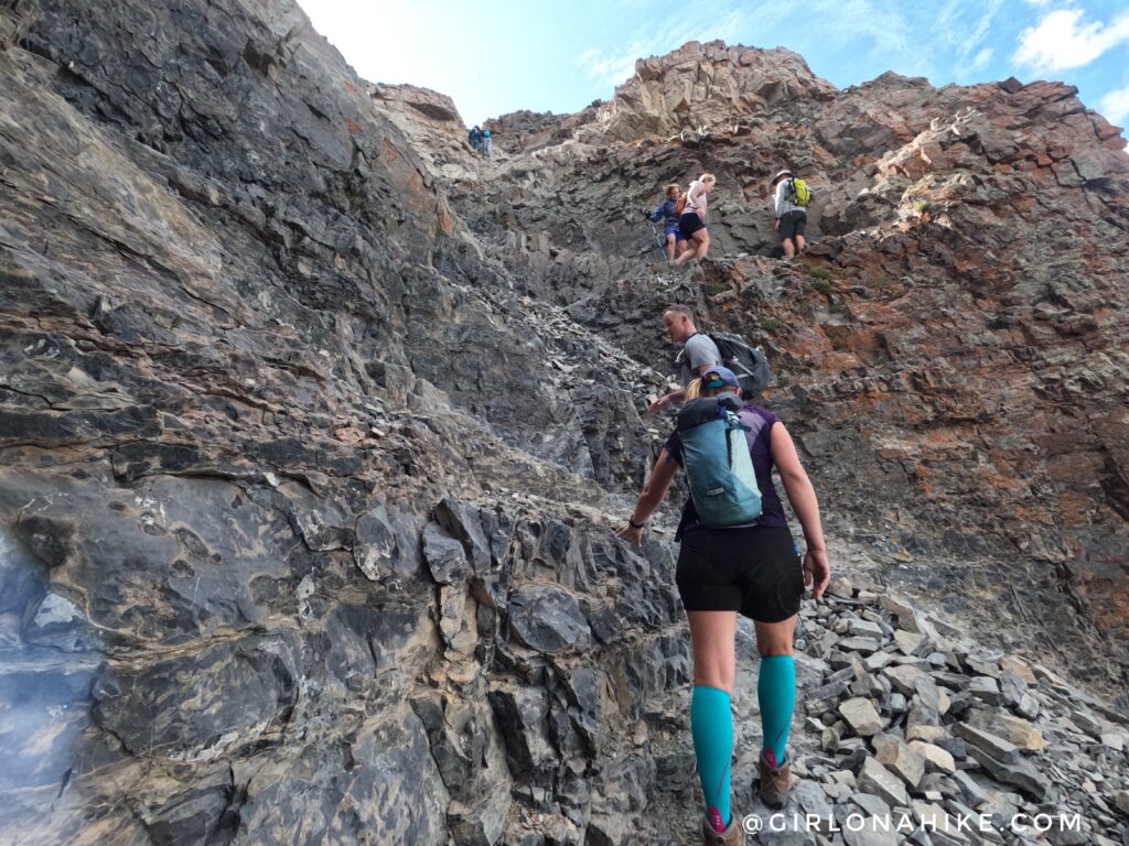
Make sure you hike up this small gulley, following small switchbacks.
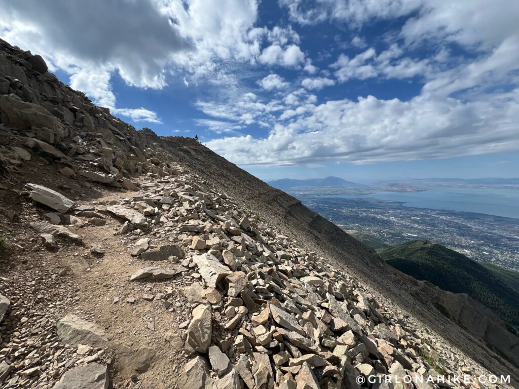
Almost there!
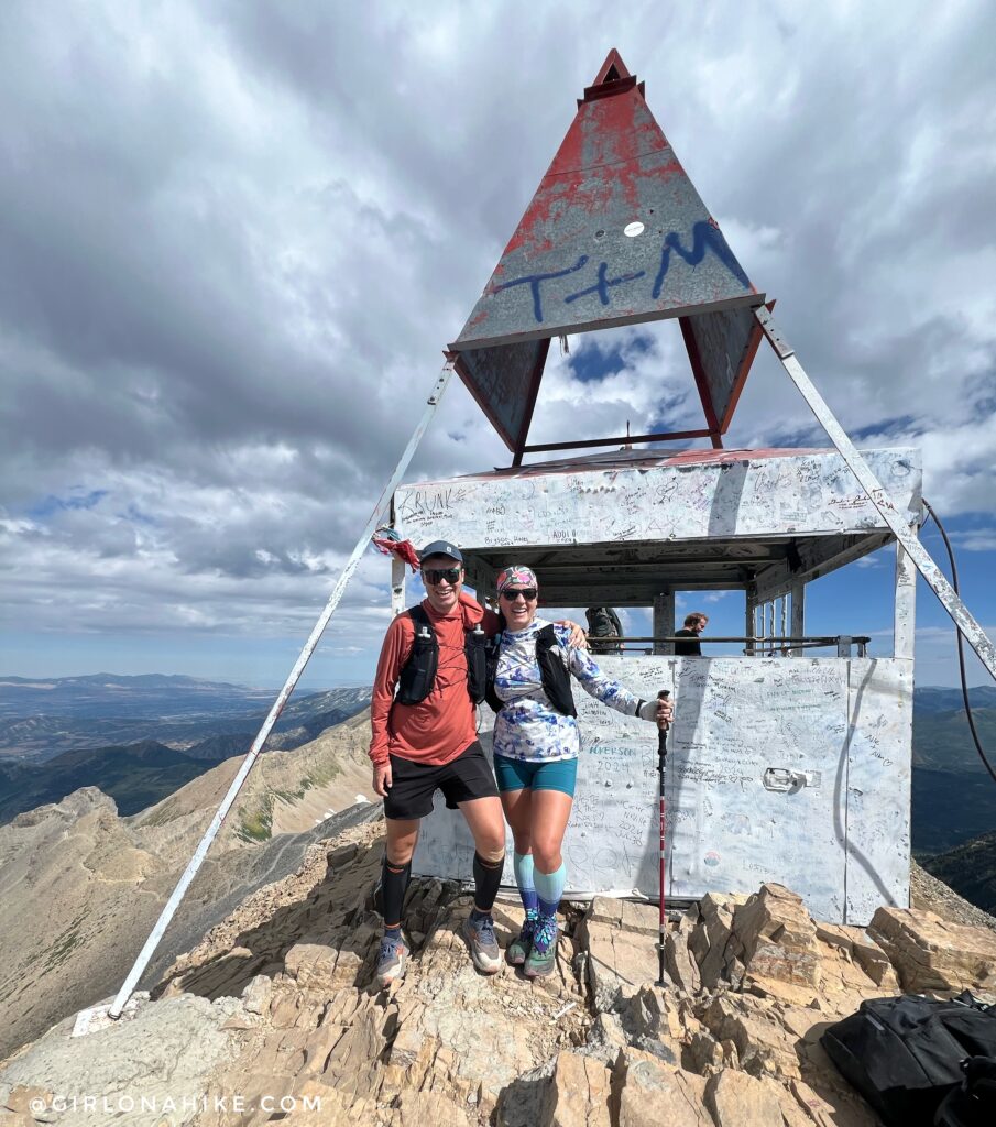
On the summit with my friend Jon!
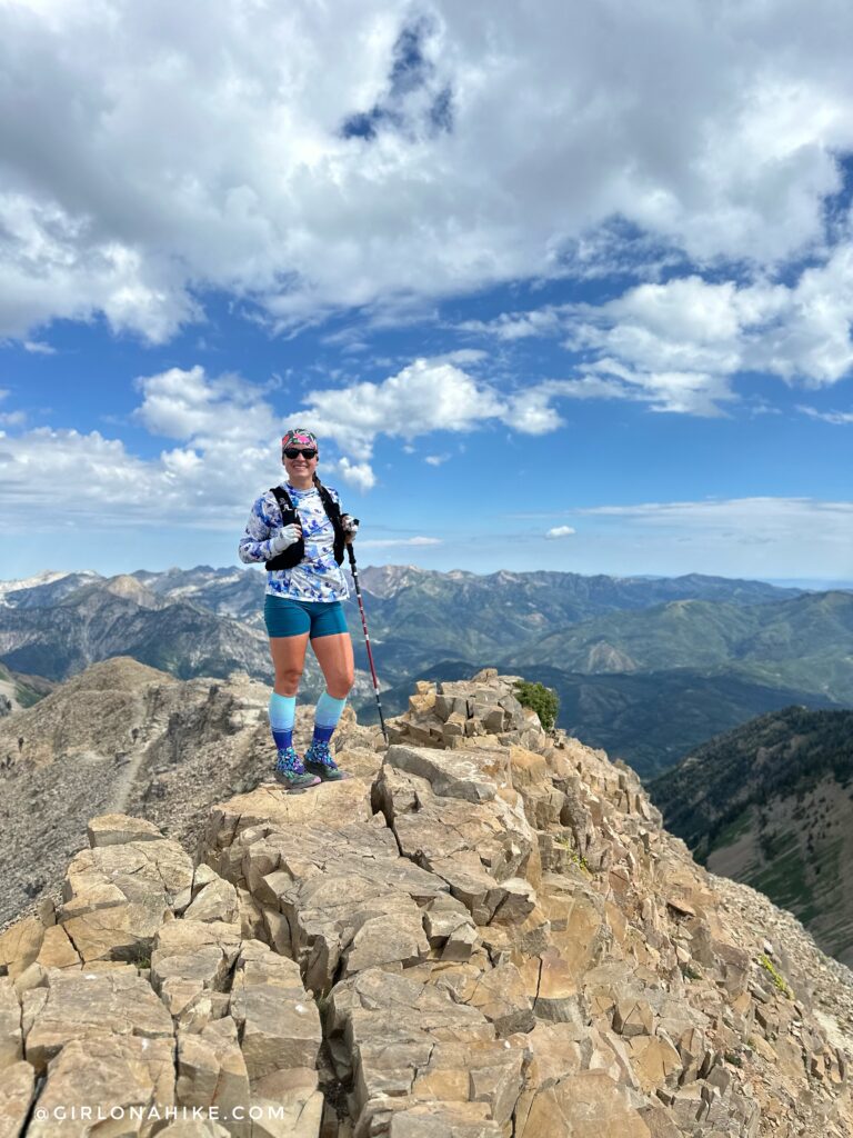
Such a great day!
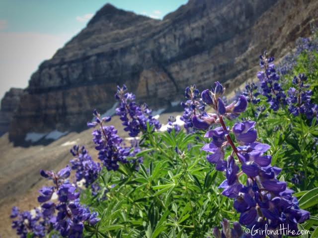
To get back to your car, simply hike back down the same way you came. If you want to turn this hike into a point-to-point hike, you can start by hiking up the Aspen Grove side, summit, then hike down the Timpooneke Trail or vice versa, using your cars to shuttle friends and gear.
Trail Map
My track via Gaia GPS – the best tracking app! Get your app here for a discount.
Also Read
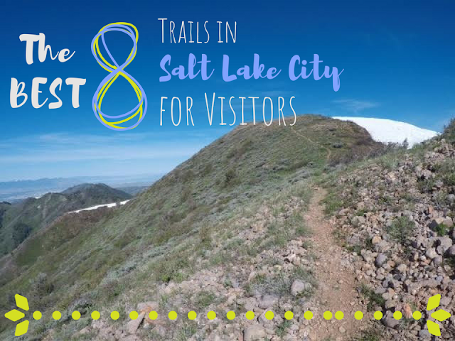
The BEST 8 Trails in Salt Lake City for Visitors!

Save me on Pinterest!
