Fish and Owl Canyons, nestled in the Cedar Mesa area of Bears Ears National Monument, offers a stunning loop backpacking route. This trail is ideal for experienced hikers looking to explore ancient ruins and kivas, hike through desert terrain, visit Neville’s Arch, and enjoy solitude in two scenic, deep canyons. With challenging terrain, light route-finding, and scrambling, it’s best suited for intermediate to advanced backpackers.
About the Trail
Due to increasing popularity in the 1990s and 2000s, the BLM implemented a permit system. Today, only 20 people (plus dogs) are allowed in the canyon at any one time, ensuring a peaceful experience. Cell service is nonexistent, and the nearest ranger station is 10–15 miles away, so backpackers must be completely self-sufficient.
- Owl Canyon is typically dry—plan to carry enough water for the 7-mile stretch.
- Fish Canyon often has pools or streams but water may be stagnant. Always top off when you find water.
Route Options
- Clockwise: Hike down Fish Canyon and up Owl Canyon. Steeper descent (900 ft in 1 mile) and a 10 ft slickrock downclimb.
- Counterclockwise (recommended): Hike down Owl Canyon and out Fish Canyon. Easier descent (700 ft in 3 miles) with an easier 10 ft climb.
-
East Entrance via Comb Wash: Adds 7–8 miles one-way, making it a 31–33 mile RT hike. Least popular but offers more solitude.
Directions
Google Maps Driving Route from Salt Lake City
Drive Time: Approx. 5.5–6 hours one-way
Last gas stop: Hanksville, UT
Kane Gulch Ranger Station GPS: 37.524152, -109.8972302
Trailhead GPS: 37.4749836, -109.819802
Trail Info
Distance: 17 miles (loop)
Elevation gain: 760 ft
Time: 1 night minimum
Dog friendly? Yes (see notes below)
Kid friendly? Maybe, see notes below
Fees/Permits? Yes, you do need a backcountry camping permit. Reservations are highly encouraged and are $8/person. A maximum of 20 people are allowed in the canyon at one time, so they do sell out. You can also try to get day-of permits, but aren’t guaranteed due to high visitation to this canyon. Day permits are also available and can be picked up and purchased right at the TH.
Reserve a Backpacking Permit Here
Frequently Asked Questions
Best Time to Hike?
April and October offer the best weather—moderate temperatures and blooming desert flowers. Avoid summer due to extreme heat and monsoons, and winter due to cold and wind. Always be alert for flash flood warnings.
Is This Trail Dog-Friendly?
Yes, dogs are allowed on a leash. However, off-leash sections are safer during downclimbs. Dogs should be conditioned for long hikes on sand. Bring booties and a dog first aid kit.
Is It Kid-Friendly?
Not ideal for young kids. Teens with prior backpacking experience who can carry their own gear and water should be fine.
Is Water Available?
- Owl Canyon: Usually dry—carry at least 7 miles’ worth of water.
- Fish Canyon: Usually has water but it may be stagnant.
Can I Hike in Either Direction?
Yes. Counterclockwise is easier due to a gradual descent and easier climb. Choose based on your comfort with scrambling.
How Difficult Is the Trail?
Moderate to difficult. Includes sand, brush, slickrock, and a 10 ft climb. Prior backpacking experience is recommended.
Can This Be a Day Hike?
Yes, but it requires a full day. Expect 8–10 hours at a brisk pace. Start early and bring a water filter. Day-use permits are also required.
Do I Need a Shuttle?
No, it’s a loop. However, a high-clearance vehicle is required to reach the trailhead.

Day 1 Highlights
- Distance: 5 miles
-
Elevation Loss: 1,847 ft
Getting There
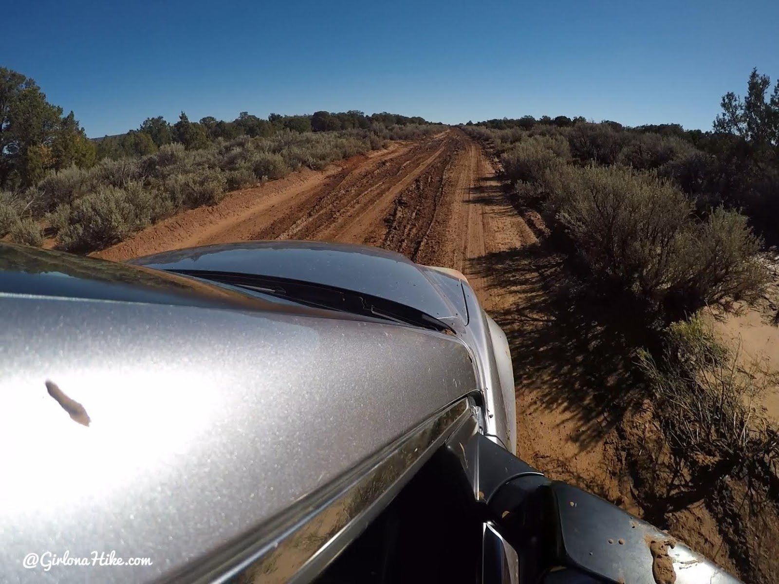
The road leading to the TH can be quite bad – especially after heavy rains like we experienced. It was so bad our car was sliding around. We were told that the road was better past the first 1/2 mile so we did our best to get through the mud puddles and as expected the road did improve and we made it safely in our CR-V. Most of the time this road is dry, but it’s still a good idea to drive an SUV or larger.
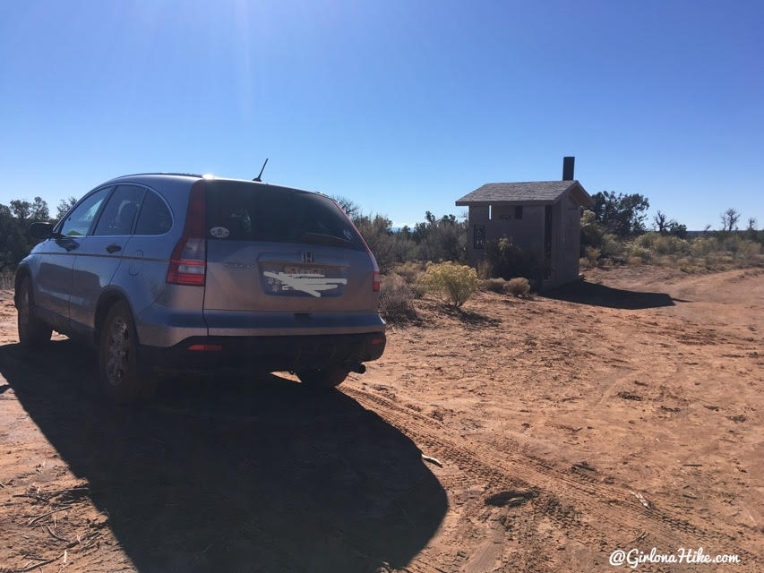
The dirt road to the trailhead can be rough, especially after rain. A high-clearance SUV is recommended. Parking and a porta-potty are available at the trailhead.
On the Trail
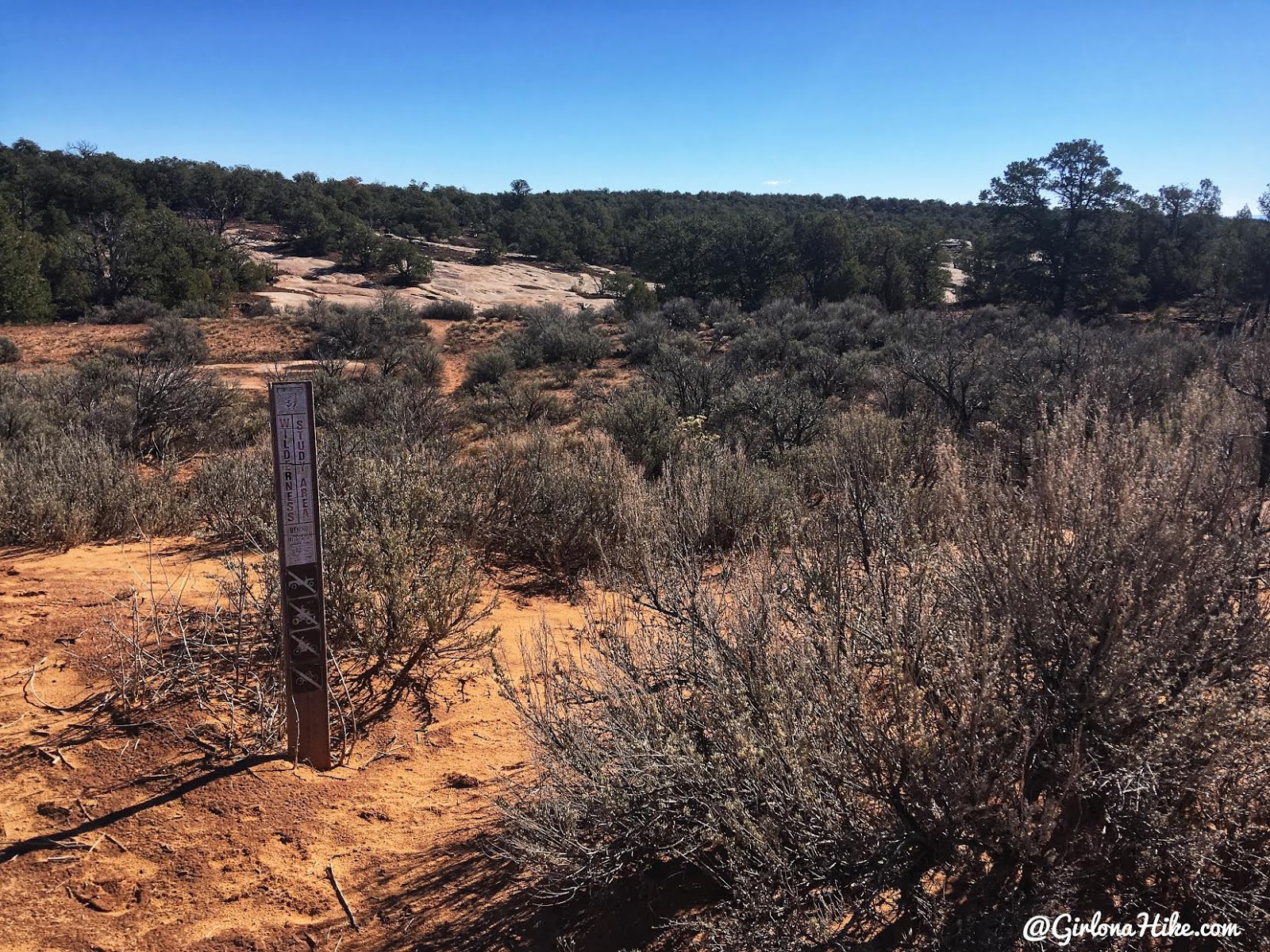
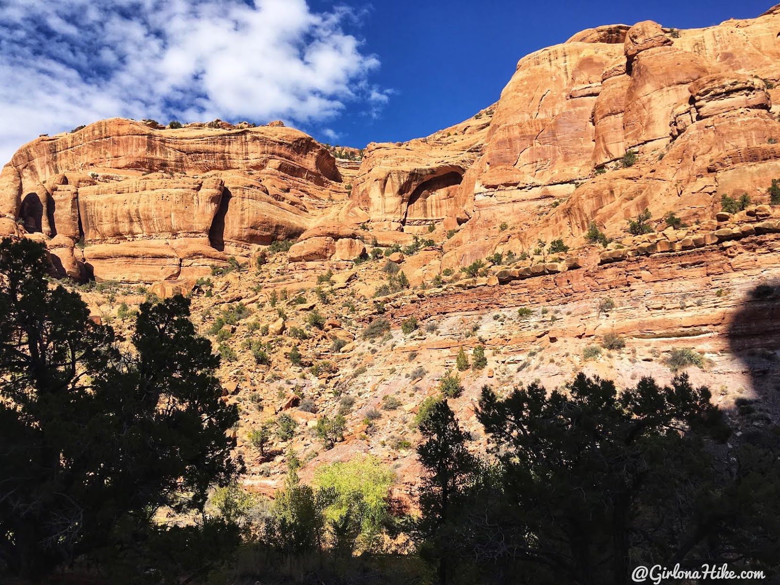
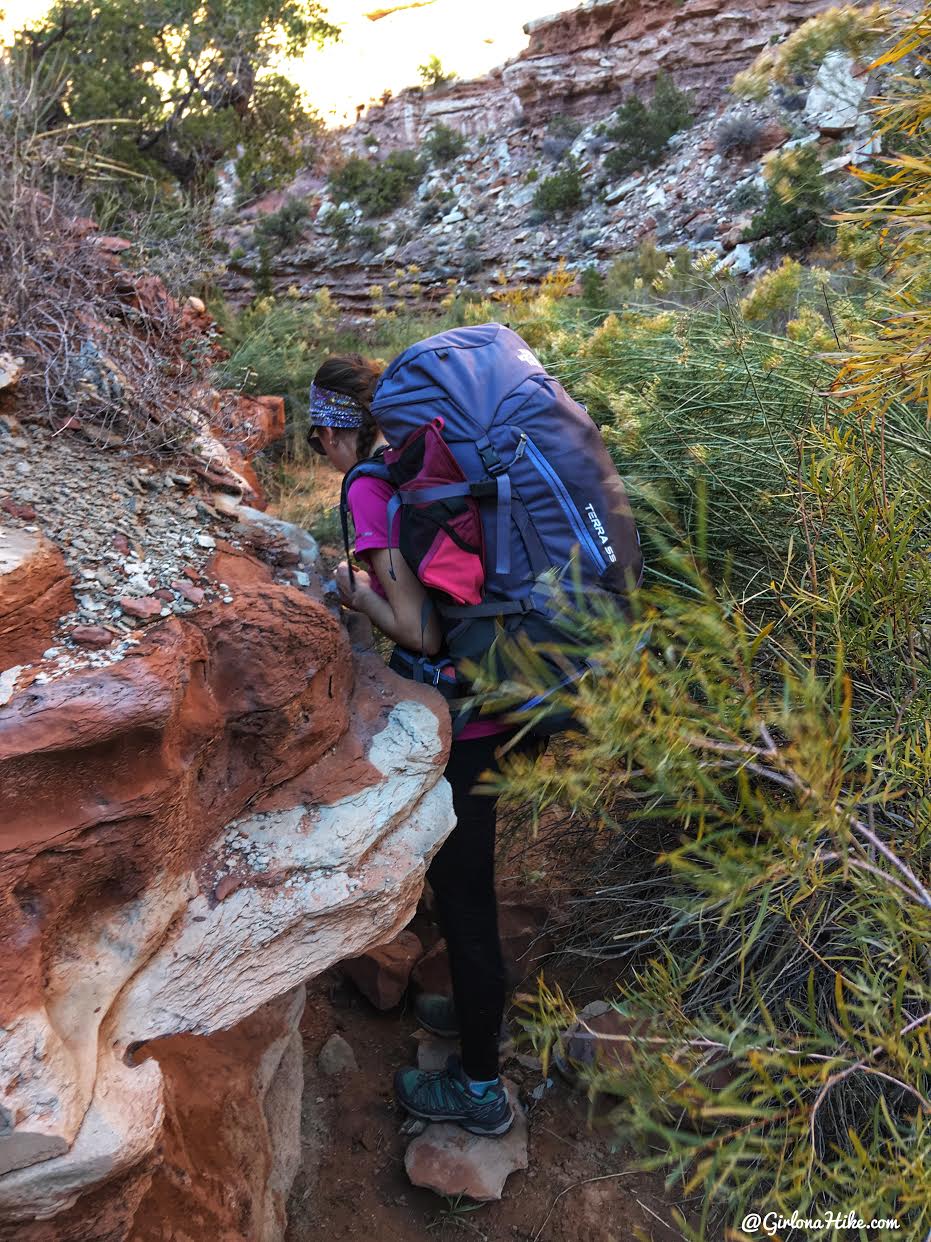
Follow the wilderness signs, and look for cairns to guide you. The route quickly descends through a streambed, slickrock, and dense brush.
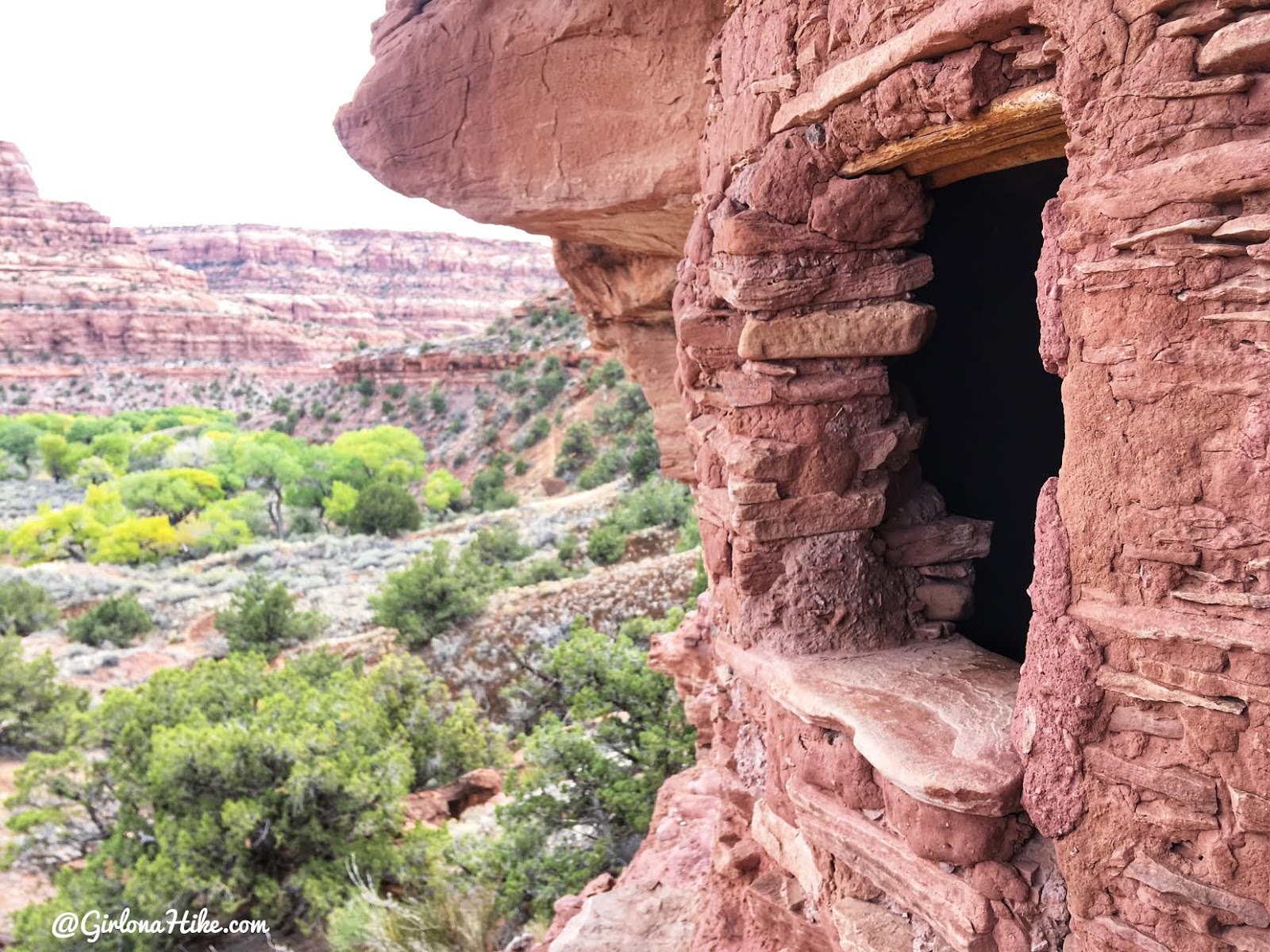
- Ruins appear within the first 15 minutes.
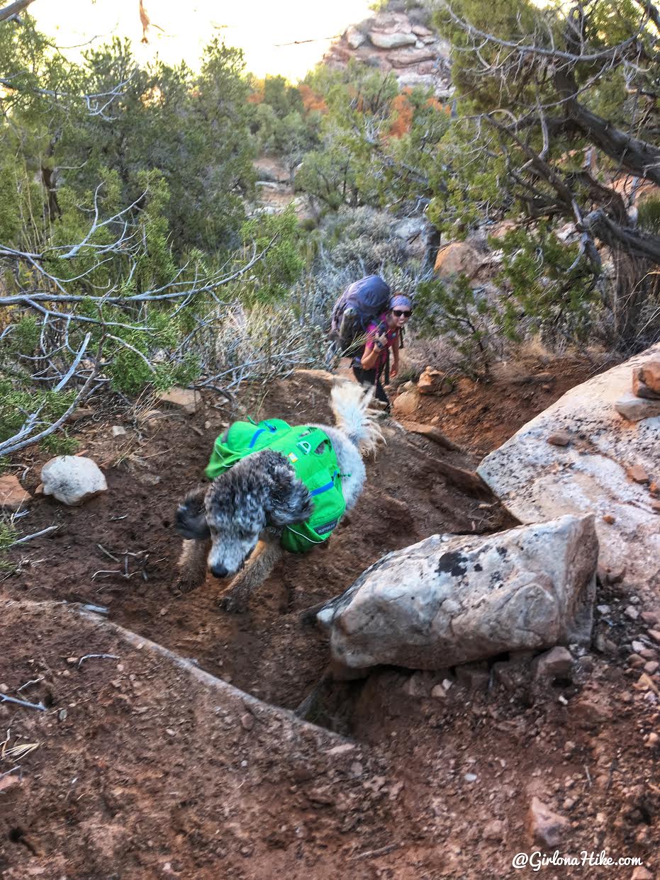
- Dogs can go off-leash for safe navigation.
- The trail includes butt-sliding slickrock and tall grass—wear pants and eye protection.
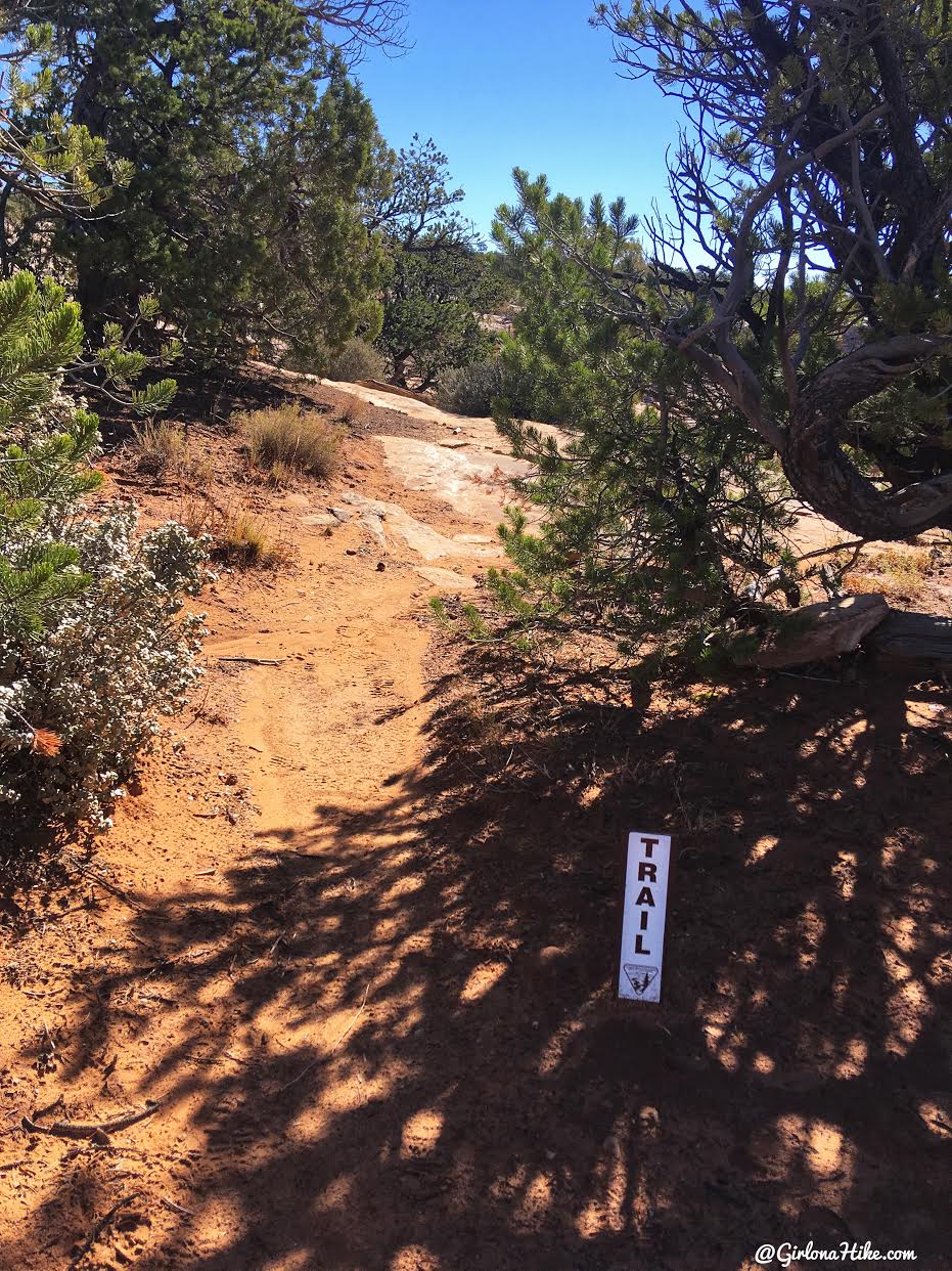
Keep an eye out for another brown trail sign. This is the last one you’ll see for awhile. From here you’ll need to rely on cairns and/or your map.
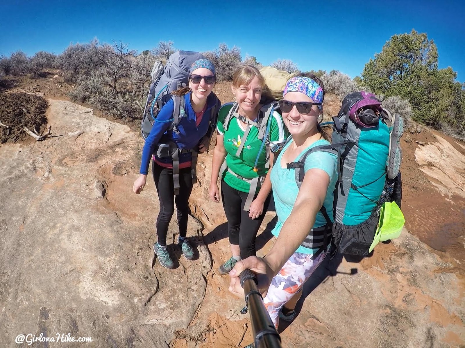
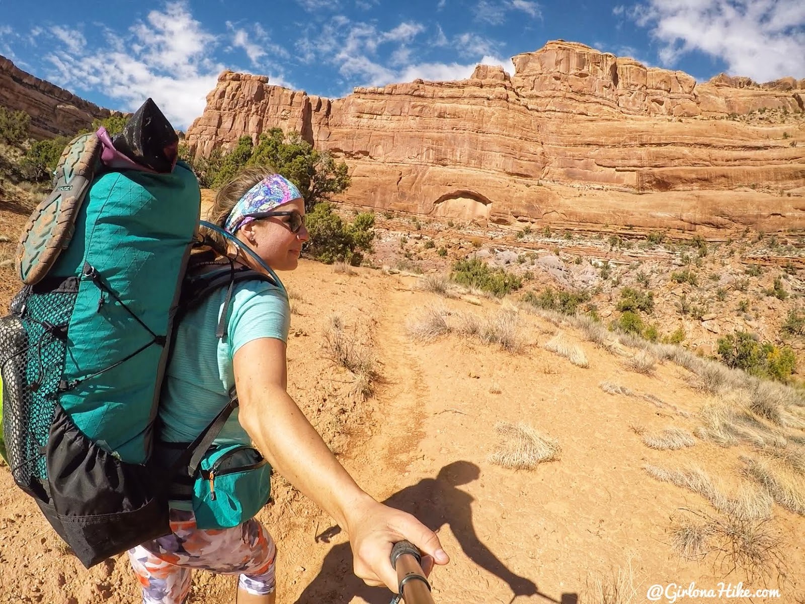
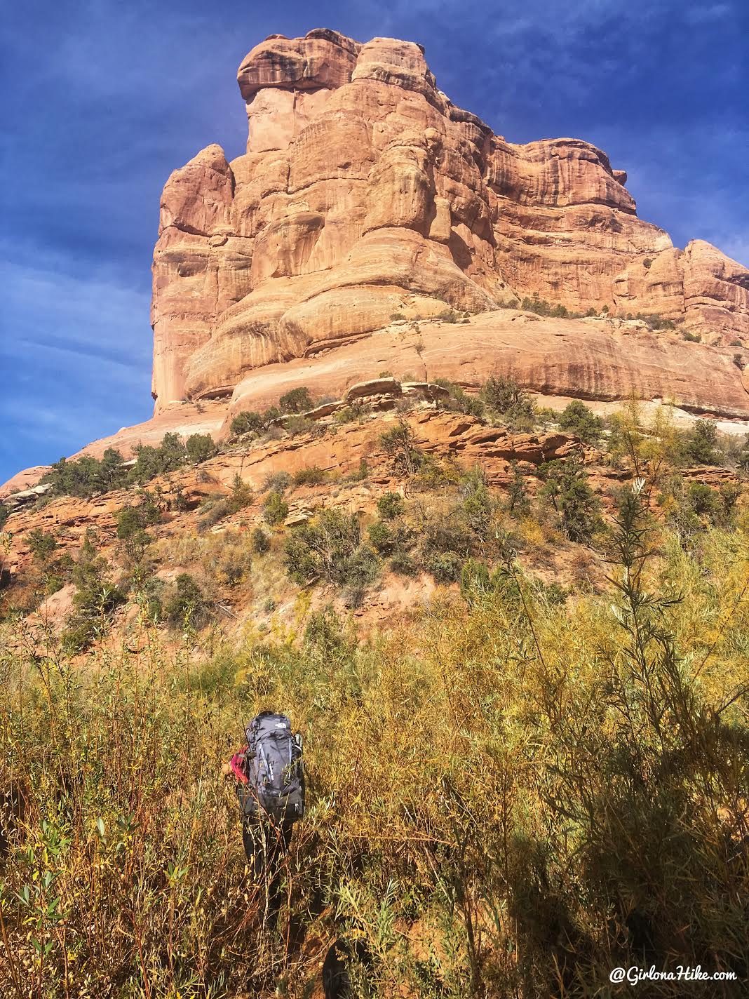
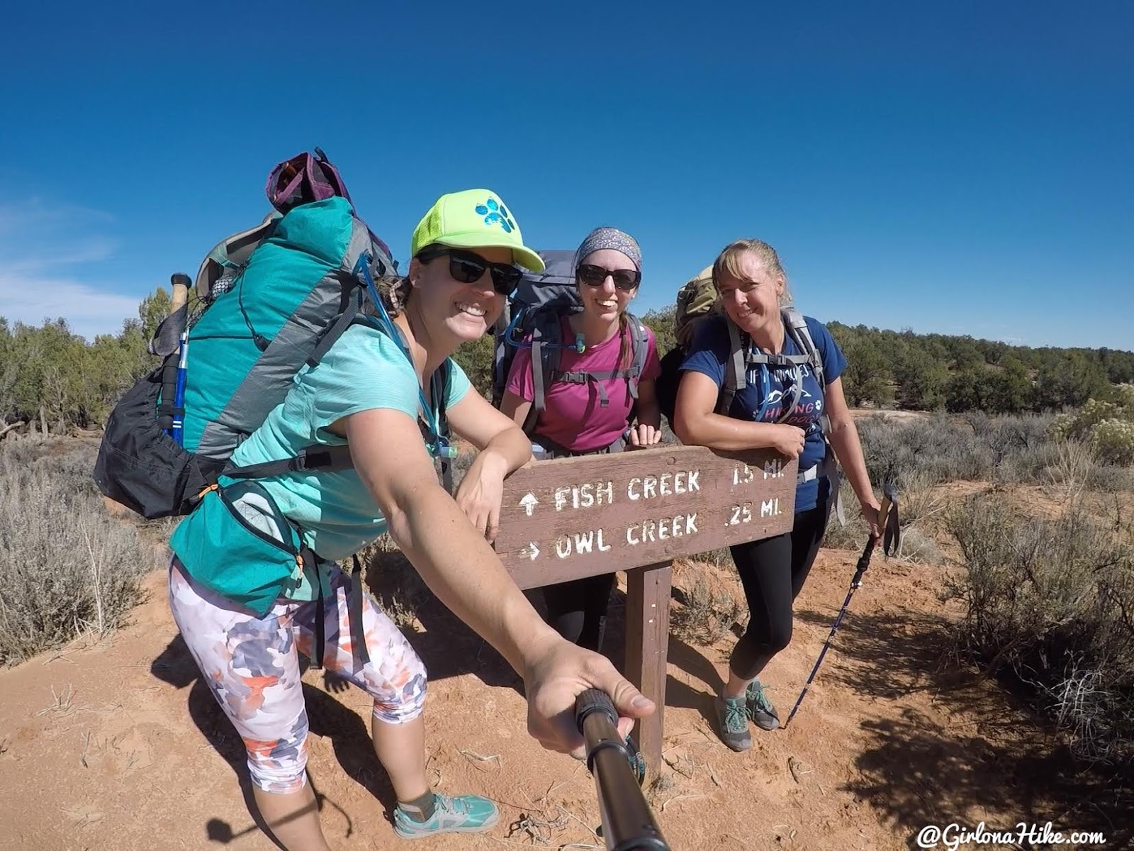
Girls trip woot woot! Check out what pack I’m using here!
Time to start our descent! Heather leads the way.
This is where you’ll want to take the dogs off leash, so they can safely hop down ledges without pulling you with them.
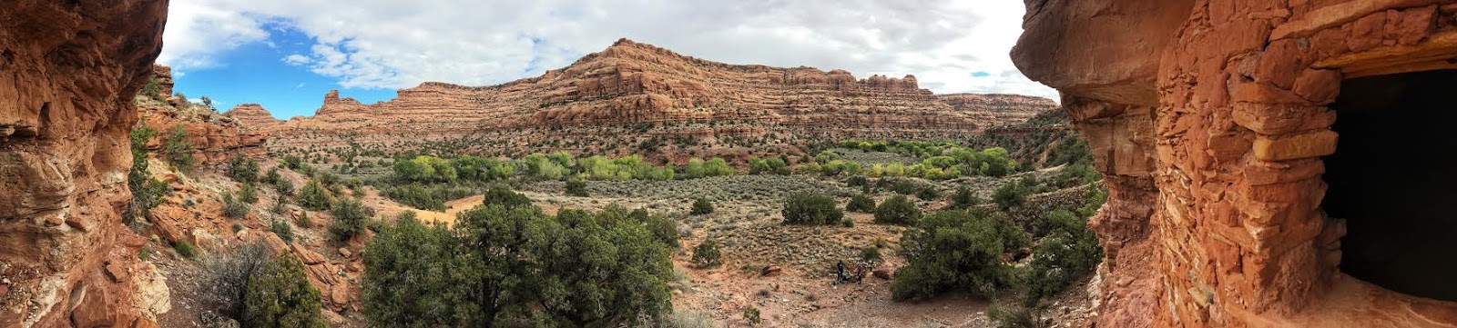
Finding our first ruins within 15 minutes of hiking.
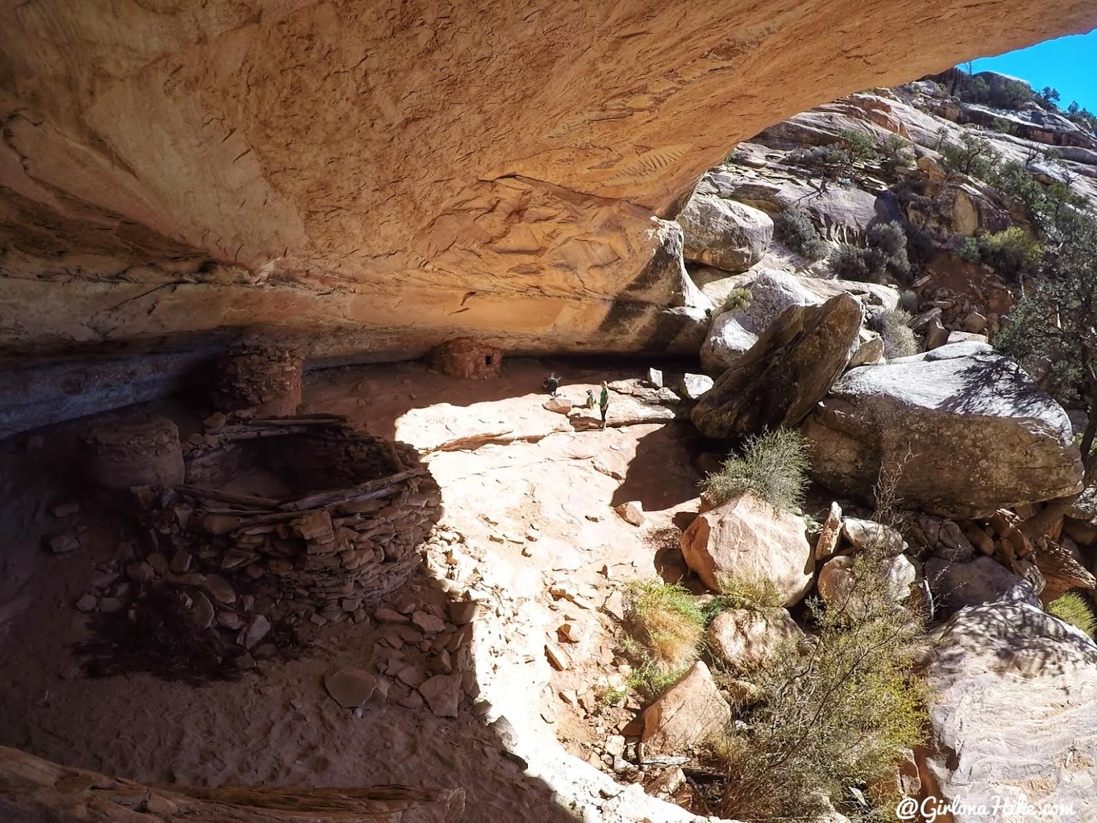
This was probably the best one we saw the entire trip. Starting off with a bang!
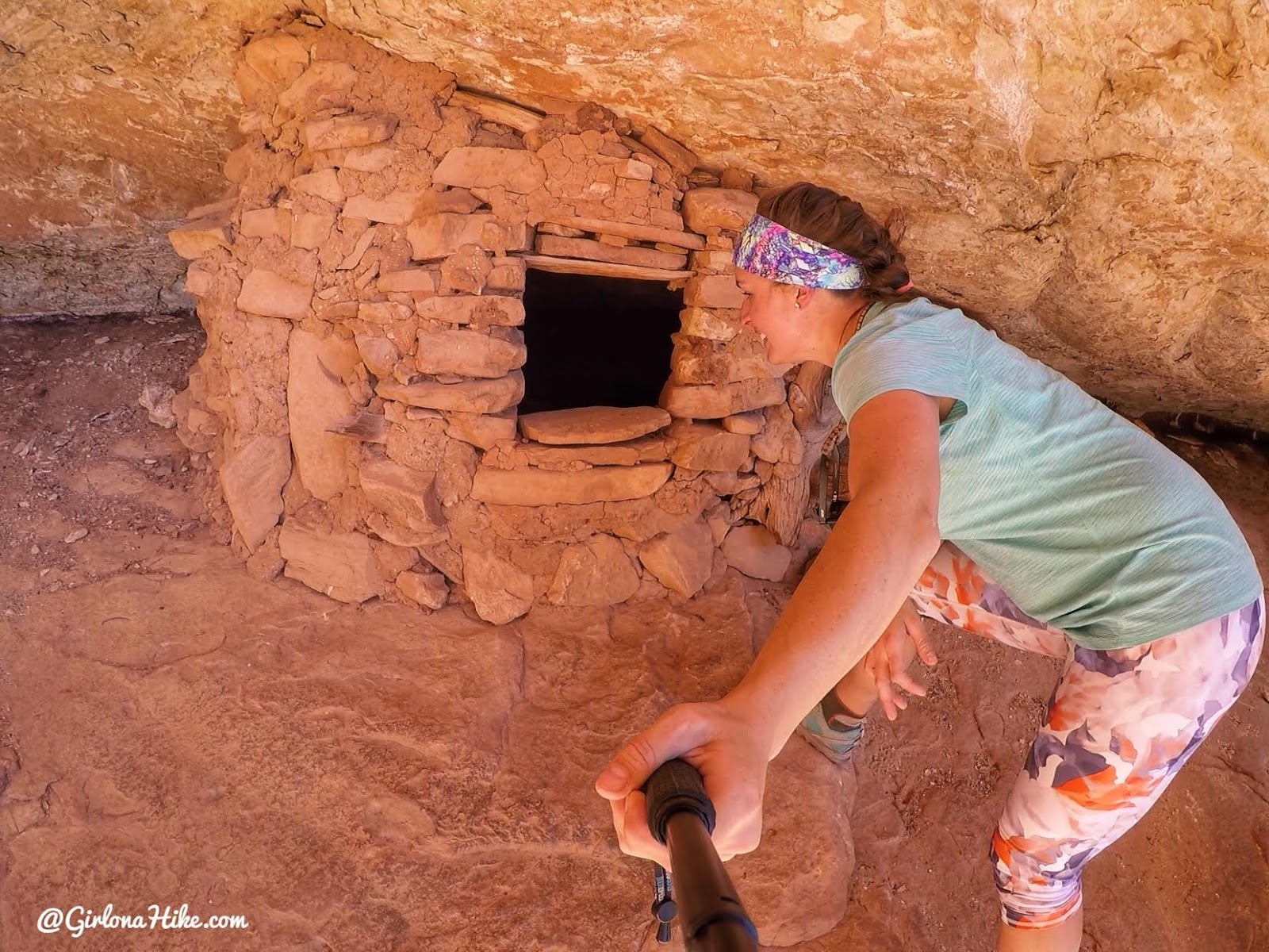
How in the world did they fit anything in here!? The opening was so tiny!
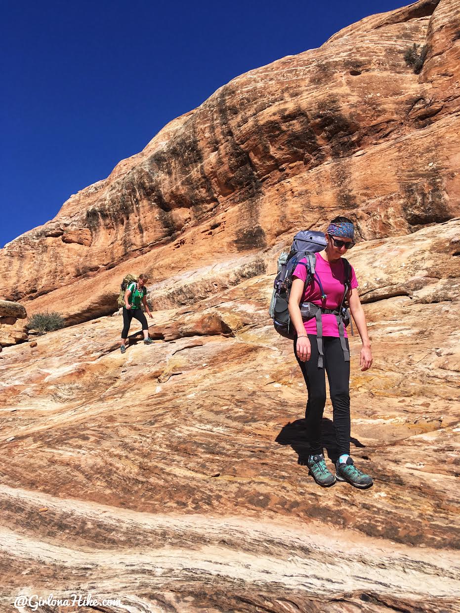
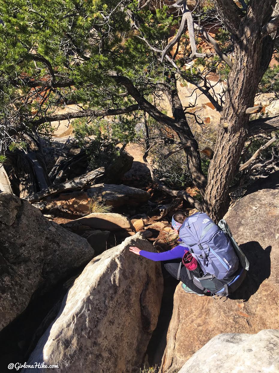
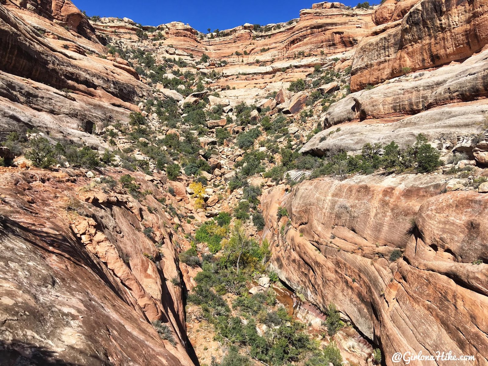
Continuing down-trail over slick rock. By mid-day it was already in the mid 60s – a perfect backpacking temperature for October!
Most of the slick rock you can just walk down, but sometimes its a little safer to butt-scoot down.
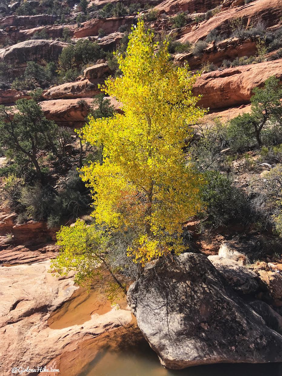
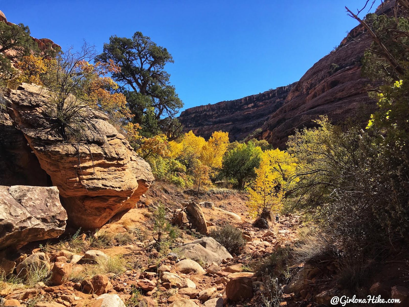
Amazing Fall colors in the canyon!
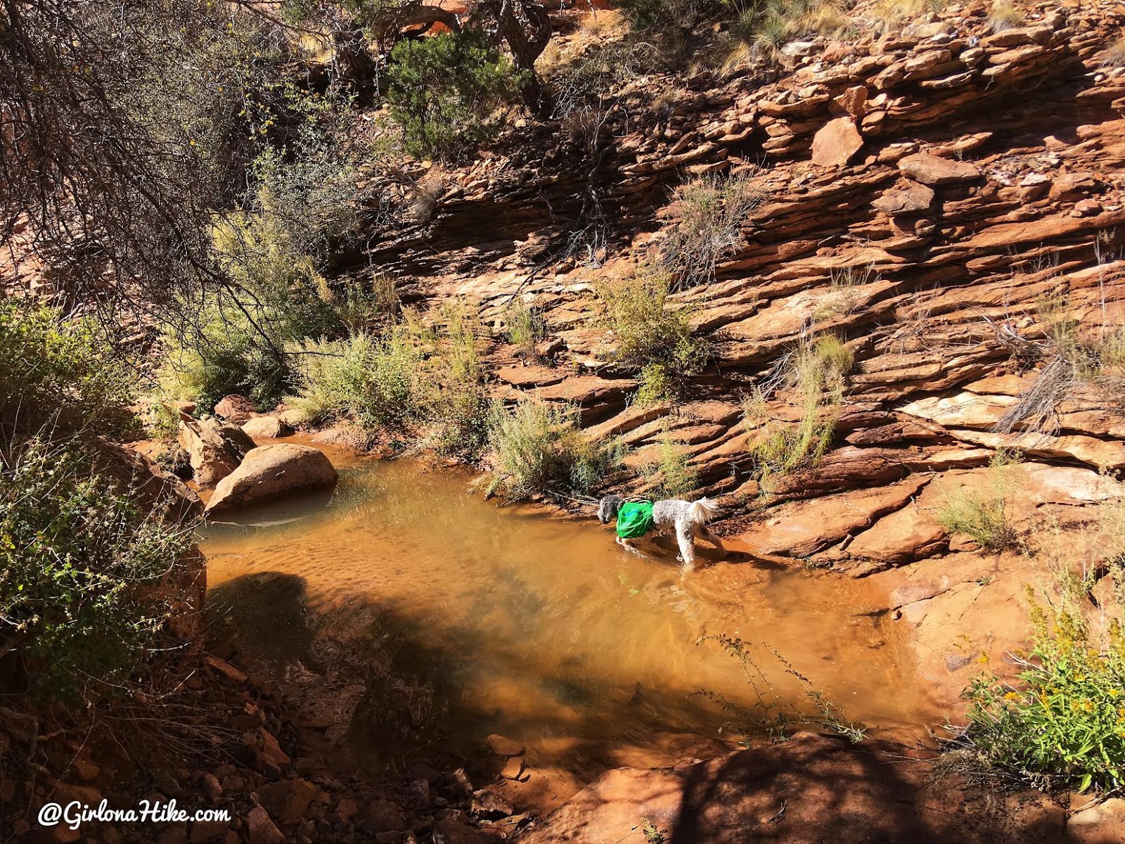
Thankfully because of the recent heavy rains, there were puddles everywhere for the dogs to drink from and to cool off their paws.
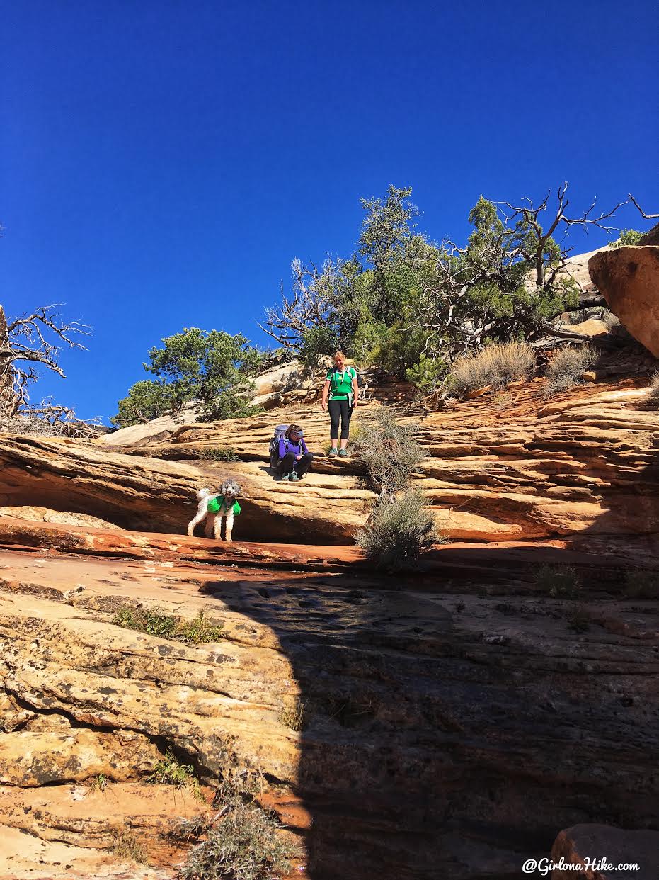
Finally at the bottom of Owl Canyon.
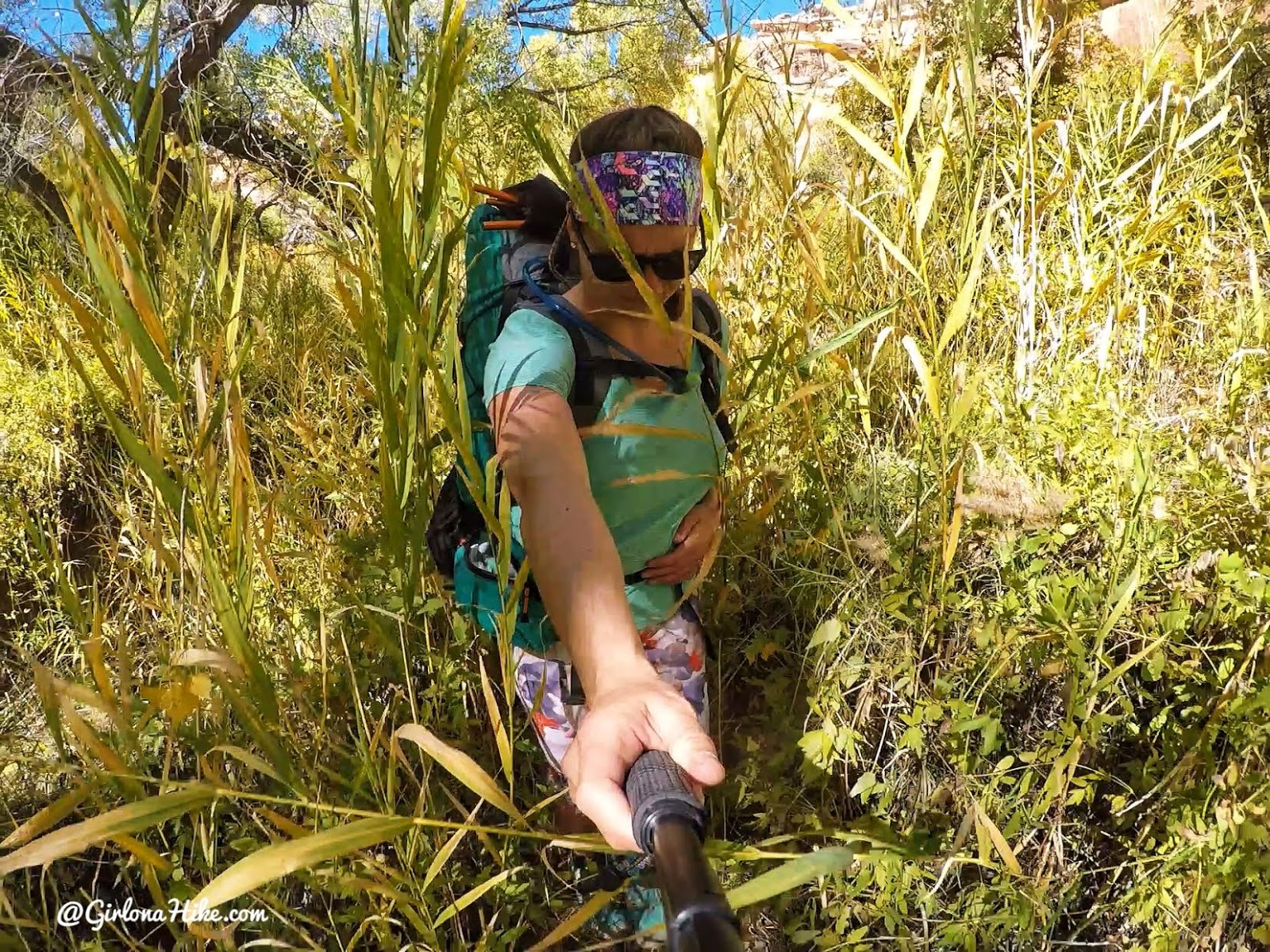
About 40% of the time you will be bushwhacking through very tall grass. Wearing sunglasses or a hat will help protect your eyes from getting whacked. I also highly recommend wearing full pants. I had on capris and my calves got very scratched up.
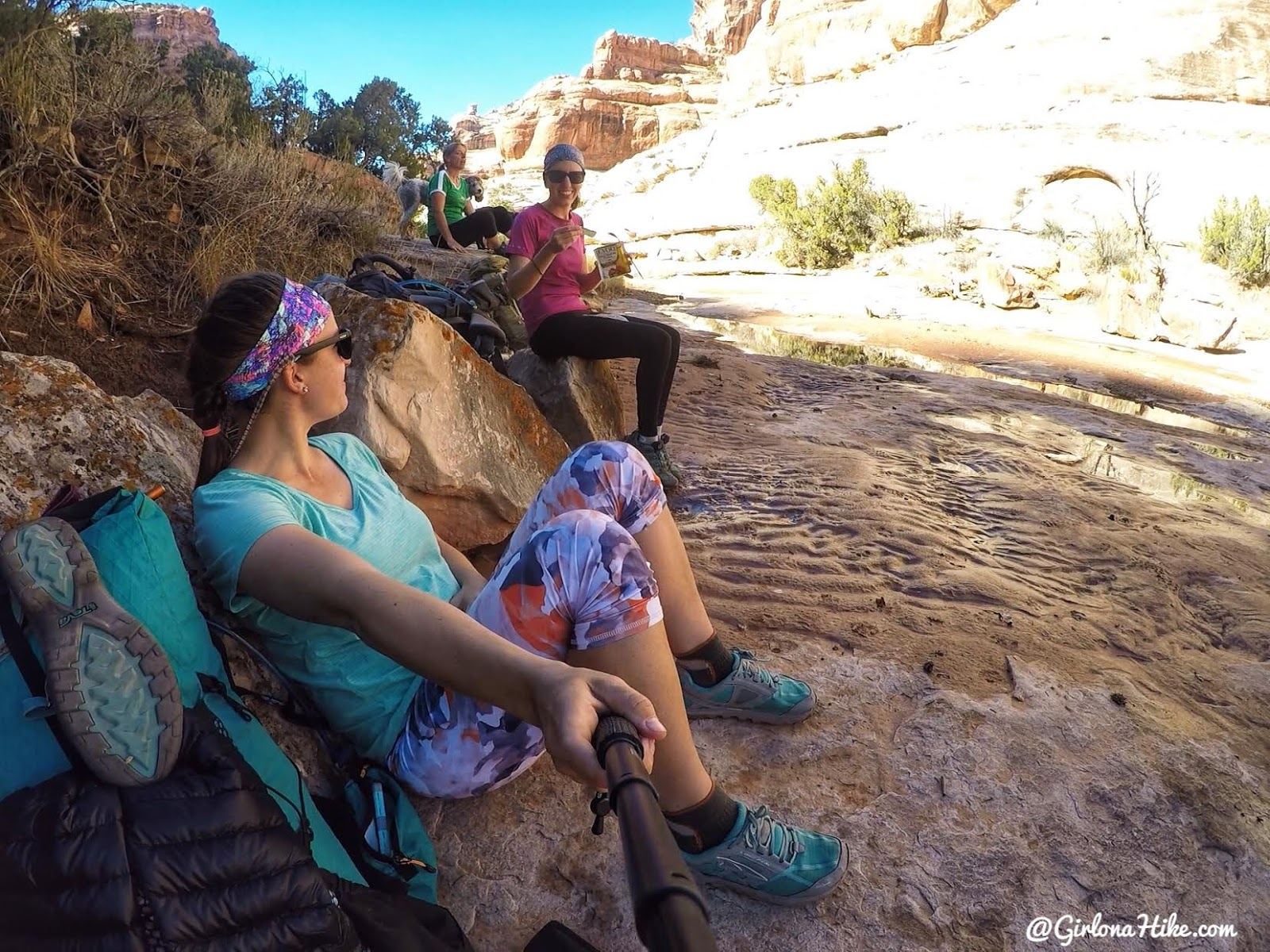
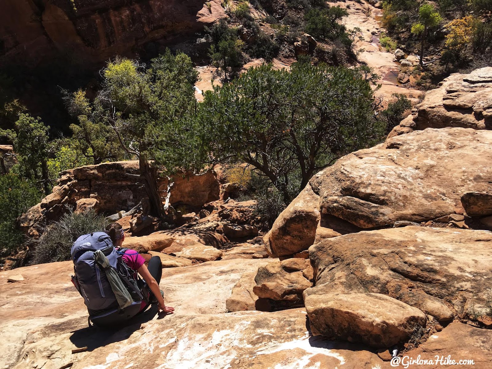
Taking a snack break in the shade.
Waterfalls and Campsites
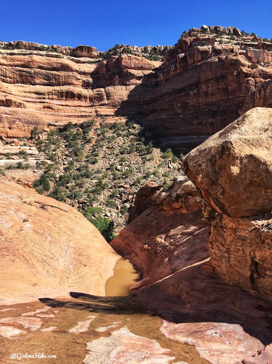
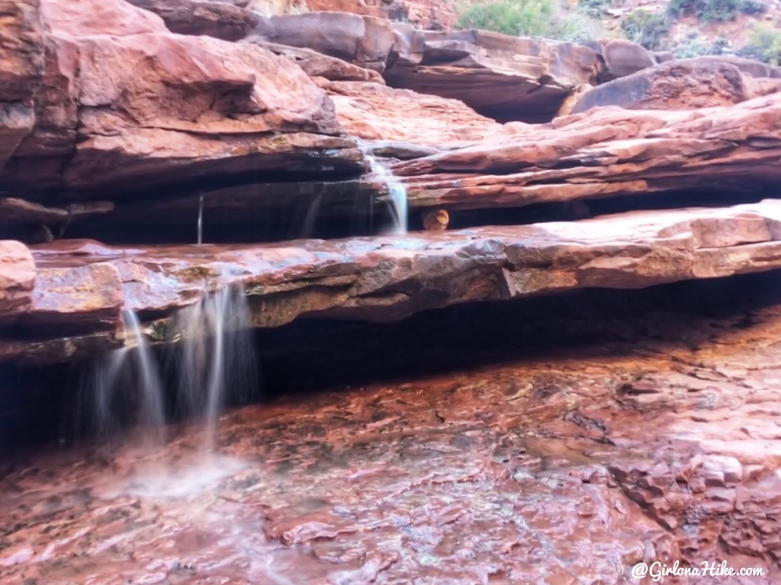
The first and biggest “waterfall” – though on the dry side.
The trail will guide you around the waterfall so that you get to the bottom of it safely. You’ll end up hiking along this ledge, then down through those trees.
A tiny bit of scrambling down some boulders. I love this stuff!
Navigate around three dry waterfalls (first at 2 miles, others at 2.9 and 3.6 miles).
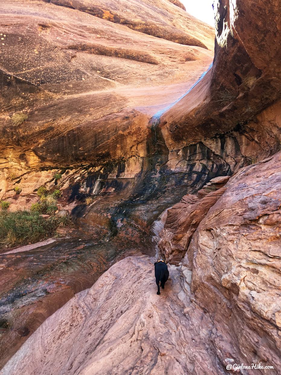
At the base of the first waterfall, at exactly 2 miles.
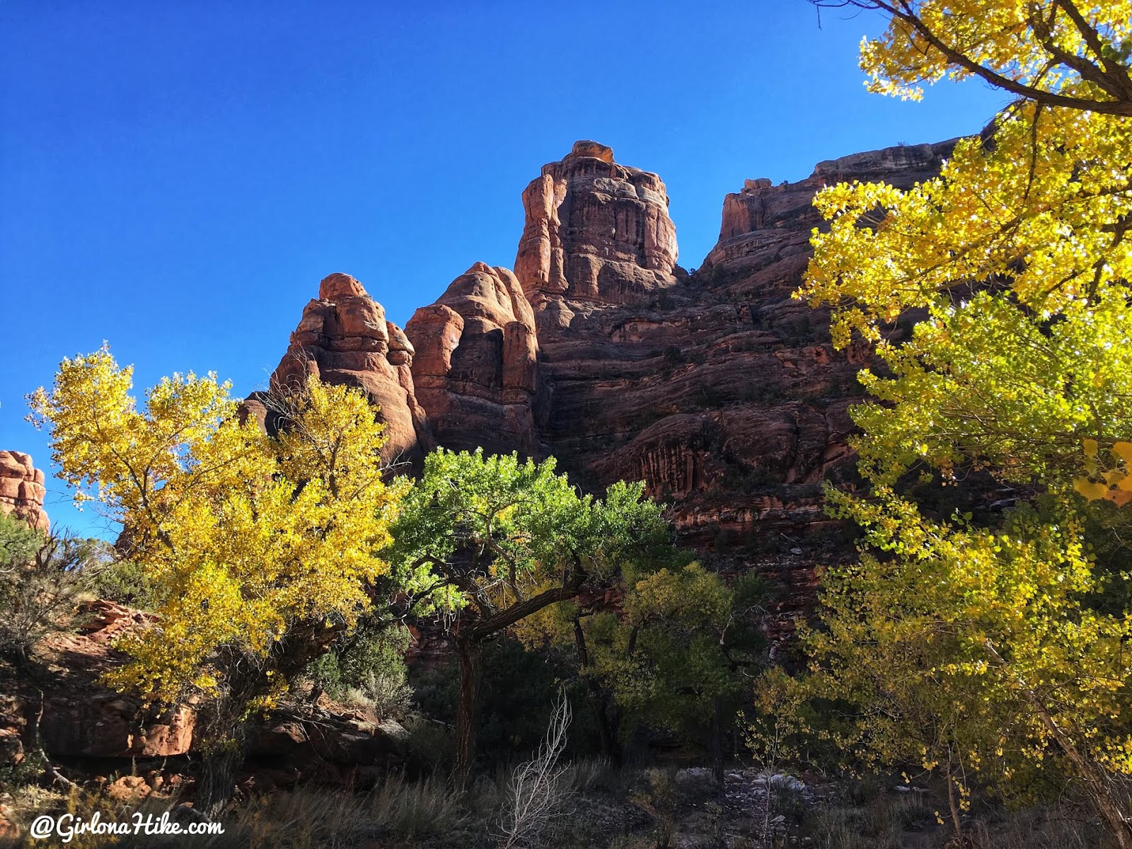
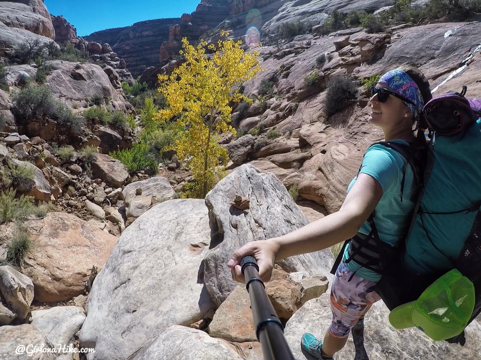
Can’t get over the deep blue skies, red rock, and yellow Cottonwoods!
Checking out another pour off. At 2.9 and 3.6 miles you’ll hike around two more waterfalls.
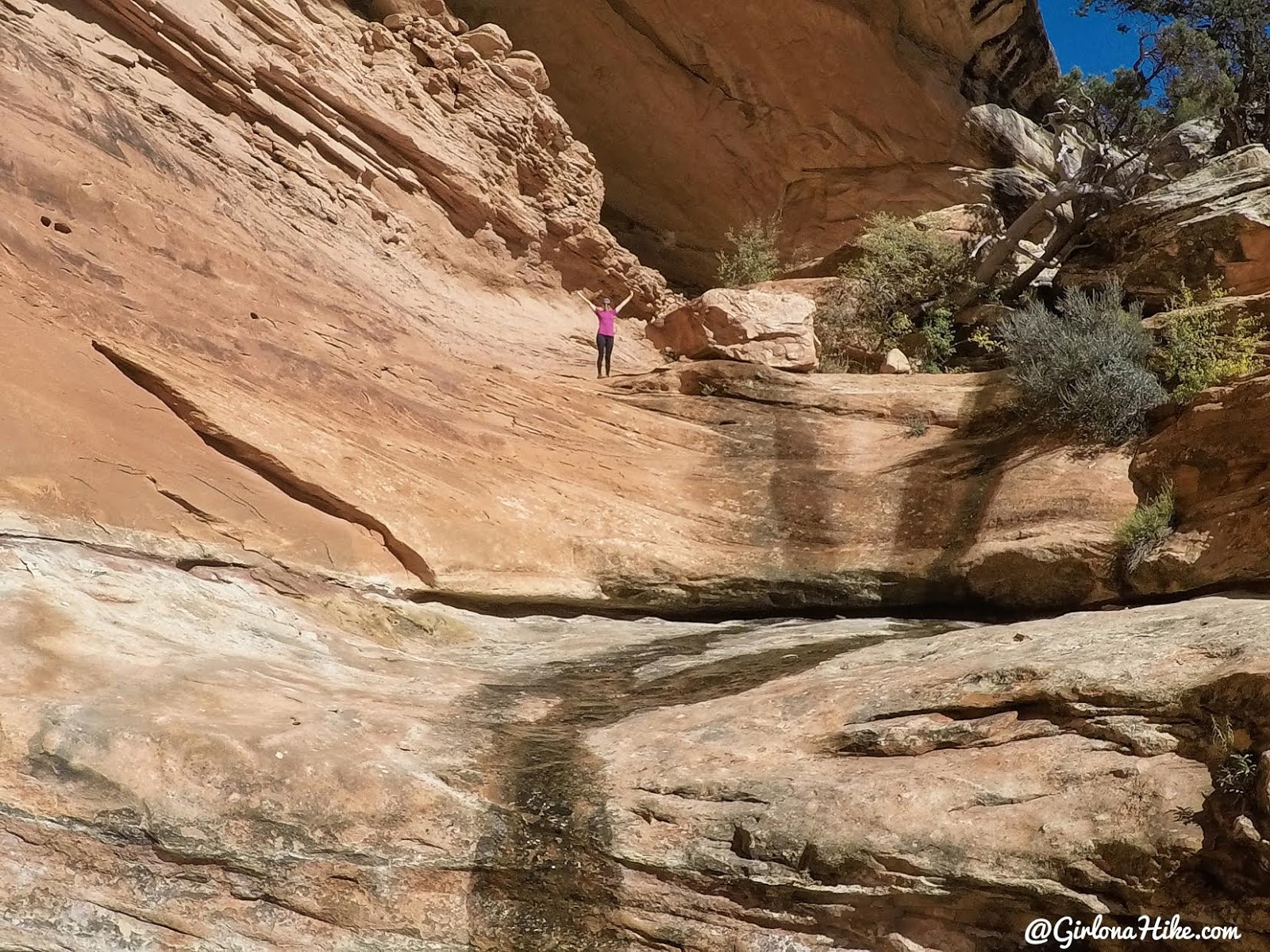
At mile 4.9, you’ll see Neville’s Arch—an amazing highlight of the trip.
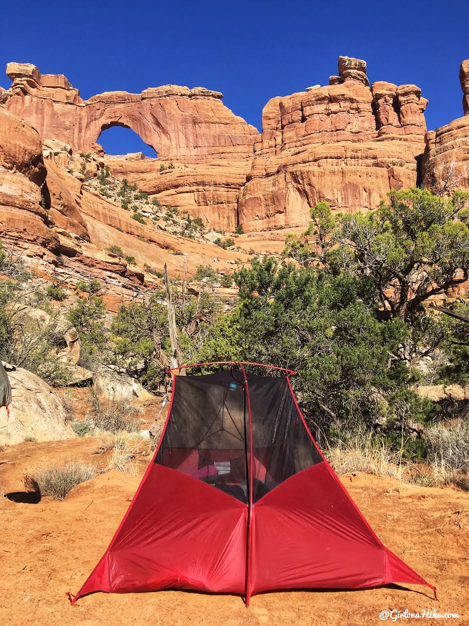
Three great campsites are located below the arch.
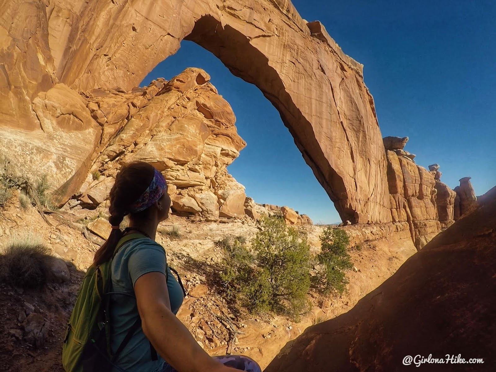
Bonus Challenge
Hike up to Neville’s Arch (approx. 0.5 miles with 850 ft gain). It’s a route-finding adventure but well worth the effort. It was a trip highlight for me.
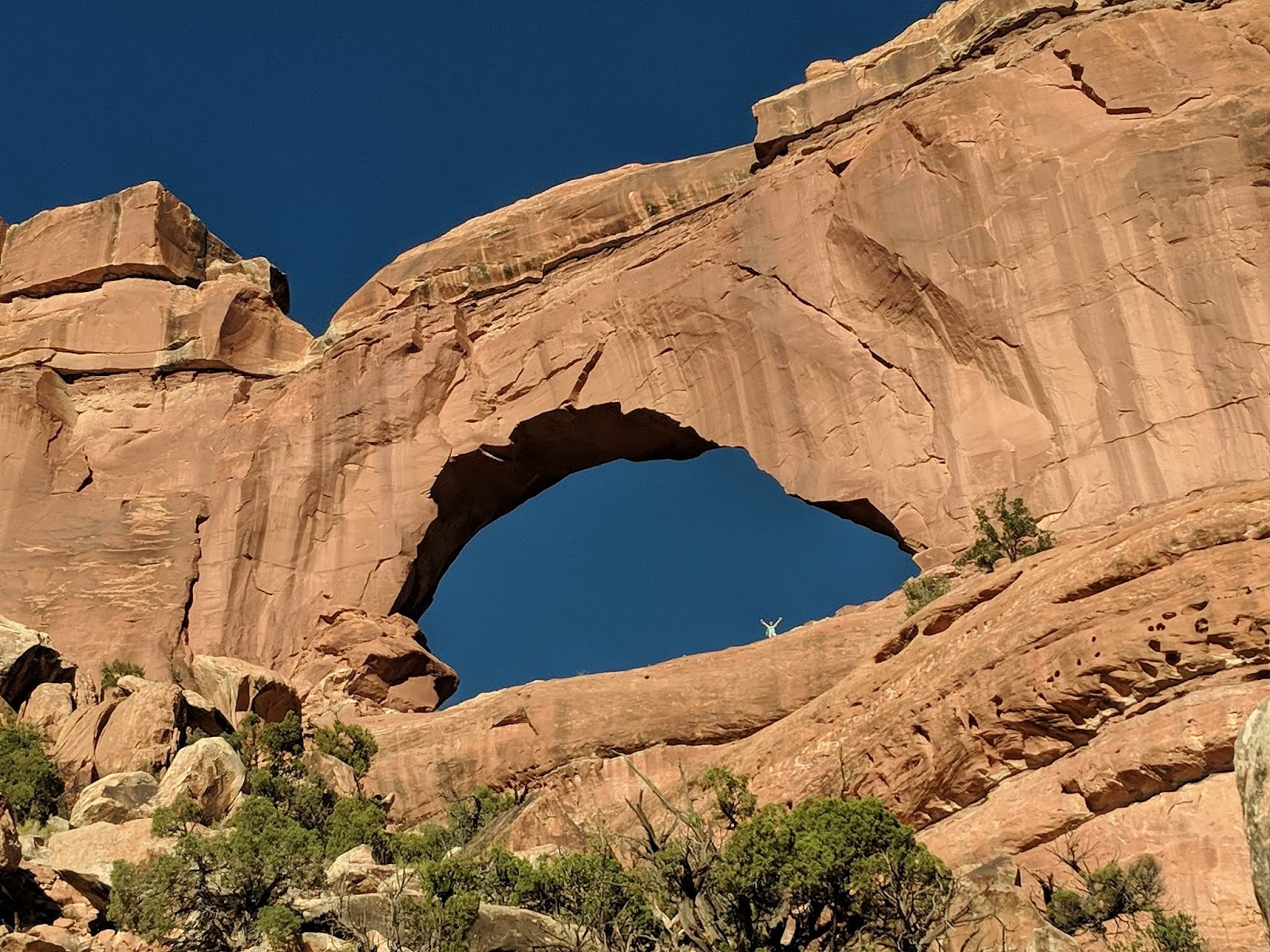
Heather was able to get a photo of me in the arch!
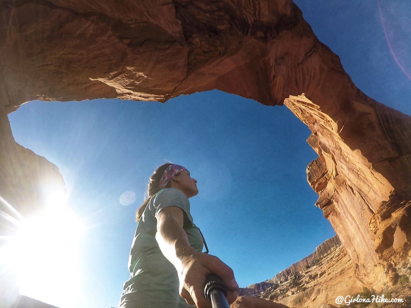
Wow, it’s huge! Neville’s Arch reminded me a lot of Jeep Arch near Moab.
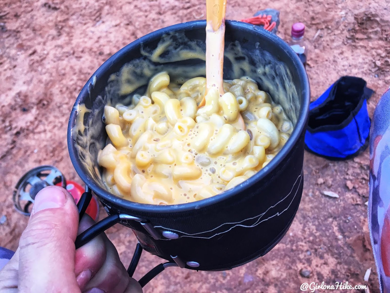
I wanted to try something different for dinner. I always get dehydrated meals, but this week I was short on money and as I was browsing the aisles I walked past the pasta boxes. Only $2.50 per box of Mac and cheese – how have I not bought these before!? Yes you actually have to boil the noodles and squeeze the cheese in yourself, but it saves you almost $7 compared to Mountain House. And omg, it was sooo good! I’ll never buy dehydrated Mac and cheese again. The only thing I would do differently is carry a Tupperware container to mix the noodles and cheese in and eat out of that. The pasta left a slight film on the jet boil, but was fairly easy to clean.
Day 2 Highlights
Distance: 8 miles (including 2.5-mile day hike)
Elevation Gain: Minimal (mostly flat)
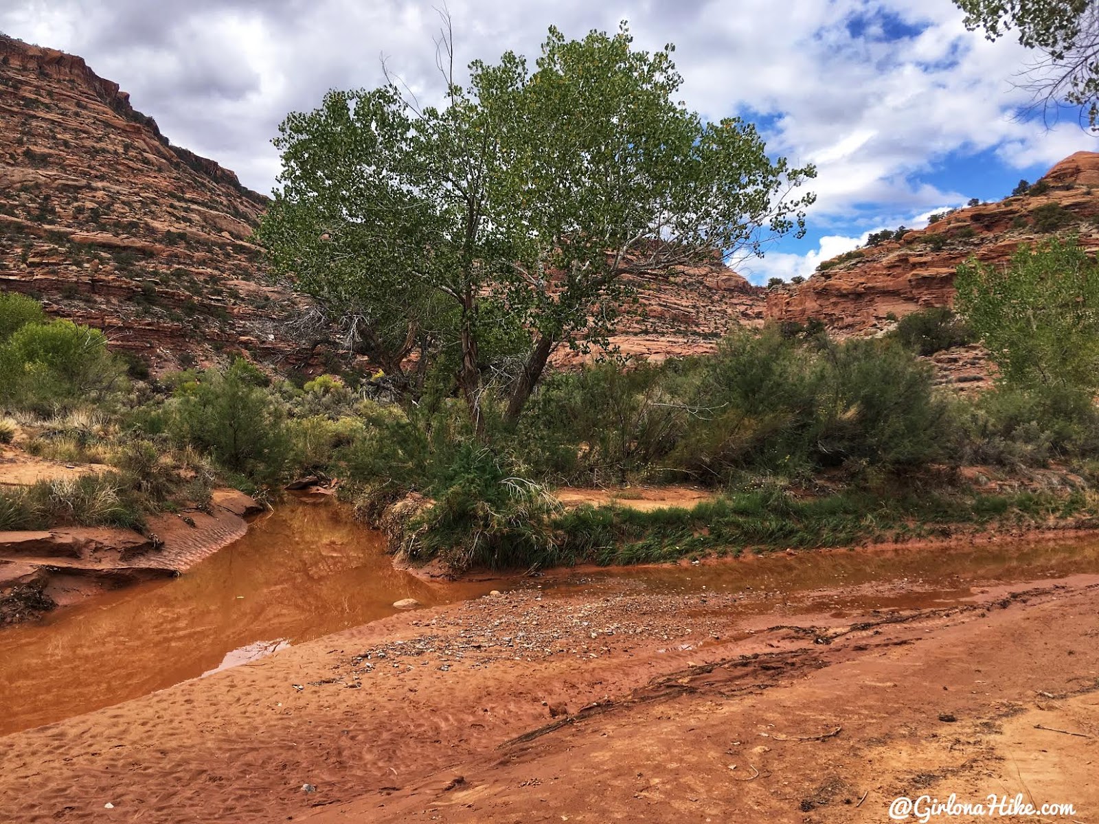
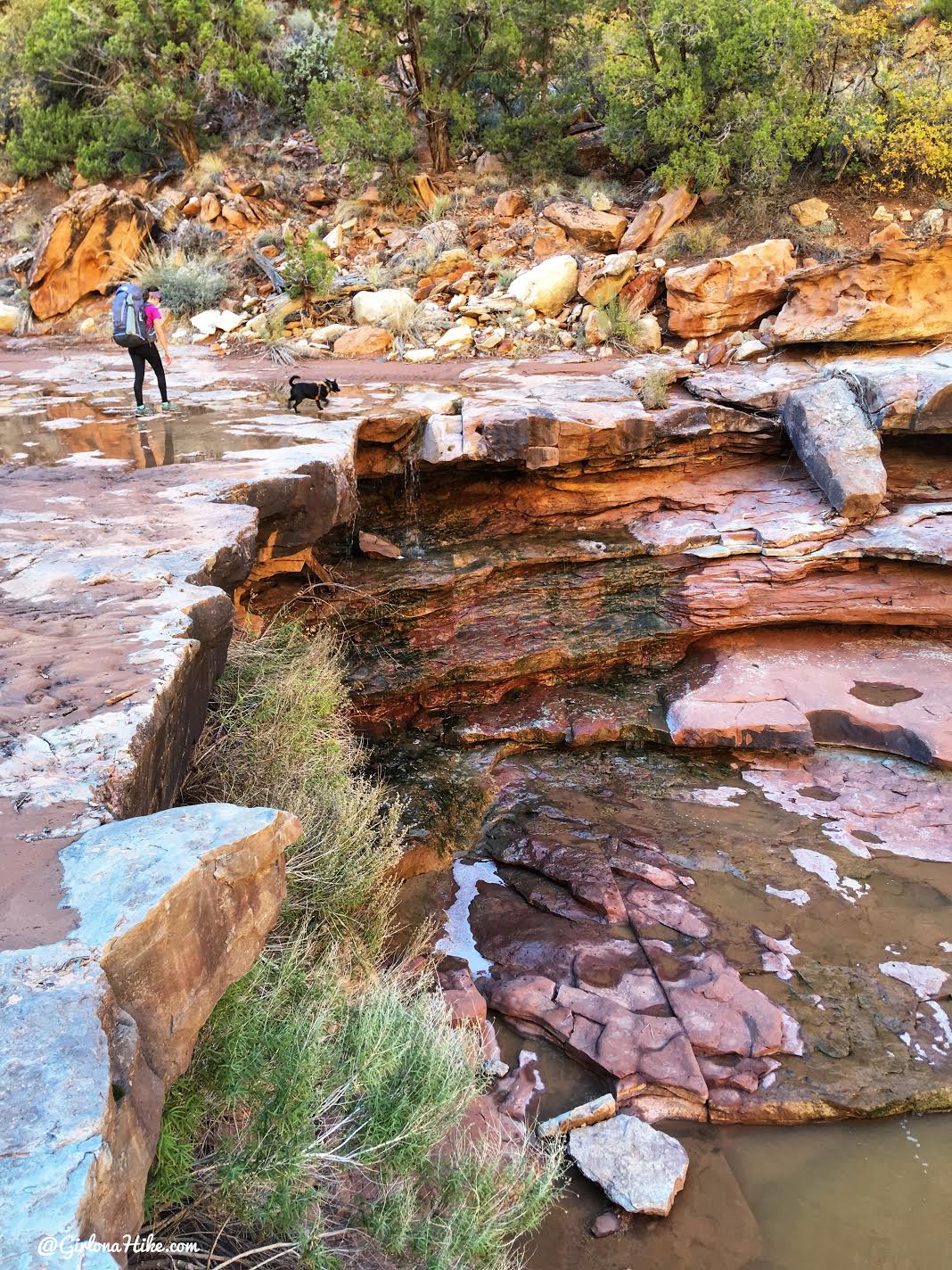
From our camp below Neville’s Arch, we made our way to the confluence where Fish and Owl Canyons meet. This junction often has water year-round—though levels can be low—so it’s a good place to top off your supply.
We stashed our backpacks at the confluence and explored downstream with light daypacks, aiming to find ruins about 2–3 miles in. The trail quickly disappeared and we ended up bushwhacking, but eventually spotted our first ruin of the day. The views from the site were incredible and well worth the effort.
We quickly lost the trail and the bushwhacking was getting pretty bad, but we finally spotted our first ruin of the day.
Enjoying the view from the ruins.
Due to the slow progress, we turned around after just over a mile. With a long day still ahead and limited daylight, we returned to the confluence to retrieve our gear and began hiking up Fish Canyon.
Fish Canyon was noticeably hotter and bushier than Owl. By 2 PM, the heat was intense and we were wishing for shorts—though the thick brush made pants a wise choice. Trail conditions varied, and some sections were completely overtaken by vegetation. We occasionally followed the creek bed where the terrain was clearer.
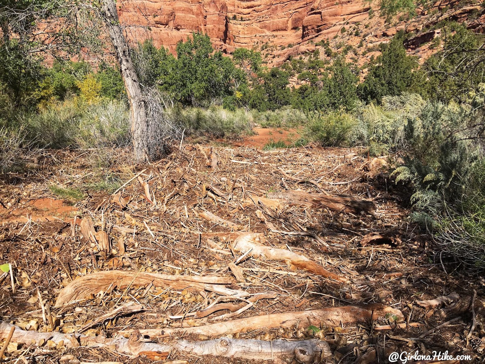
We passed a large flash flood debris zone filled with logs and sticks—an impressive reminder of nature’s power. Further along, we found a bit of shade and took a quick break.
Ahh finally some shade. Only halfway to where we would end up camping.
There are two decent campsites in Fish Canyon:
One about 3 miles from the confluence and another 6 miles in (our destination for the night).
Heather leads us through tall rocks and grass. The other thing about Fish Canyon – there’s very little to no trail. Some sections seemed better, and often times it would have been easier to just walk up the creek but we didn’t have water shoes with us.
Passing by some small falls.
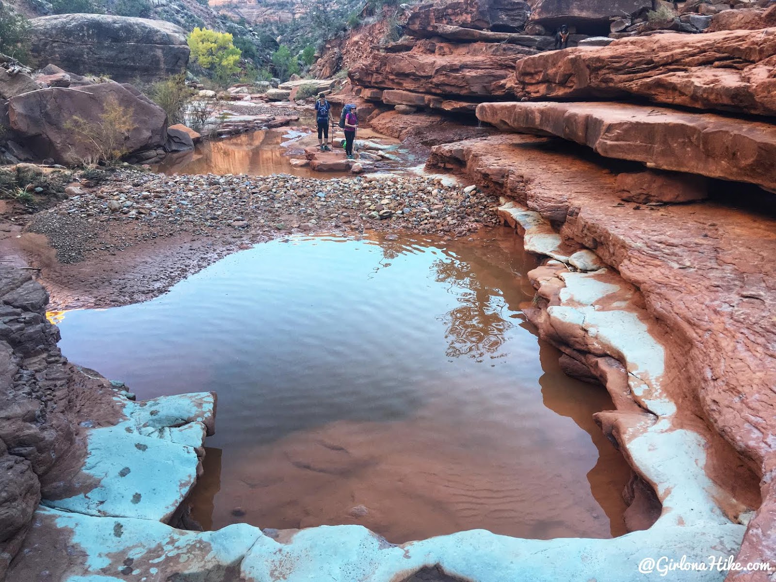
There are some big pools of water which are nice to filter water from if you need to stop and take a break.
Day 3
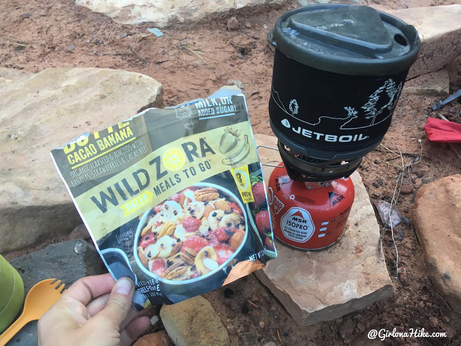
The previous two mornings I ate oatmeal, but I saved what I thought would be the “best for last”. The Wild Zora meals are paleo meals to go, and it was a Cacao Banana oatmeal that you can add hot or cold water too. The mornings were kind of chilly so I made it hot, and omg it was the worst meal I’ve ever tasted. It was so bad I could only eat two bites. I am normally easy to please with food, but this was disgusting!
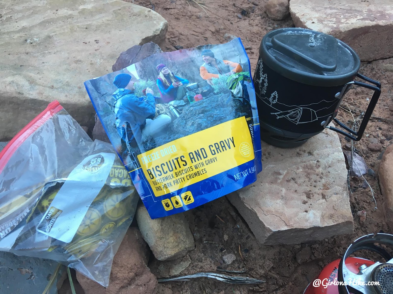
Thankfully Julie wasn’t up for eating a big meal and she gave me her biscuits and gravy – Wild Zora in the trash. What a life saver – this is my favorite dehydrated breakfast. Thanks Julie!
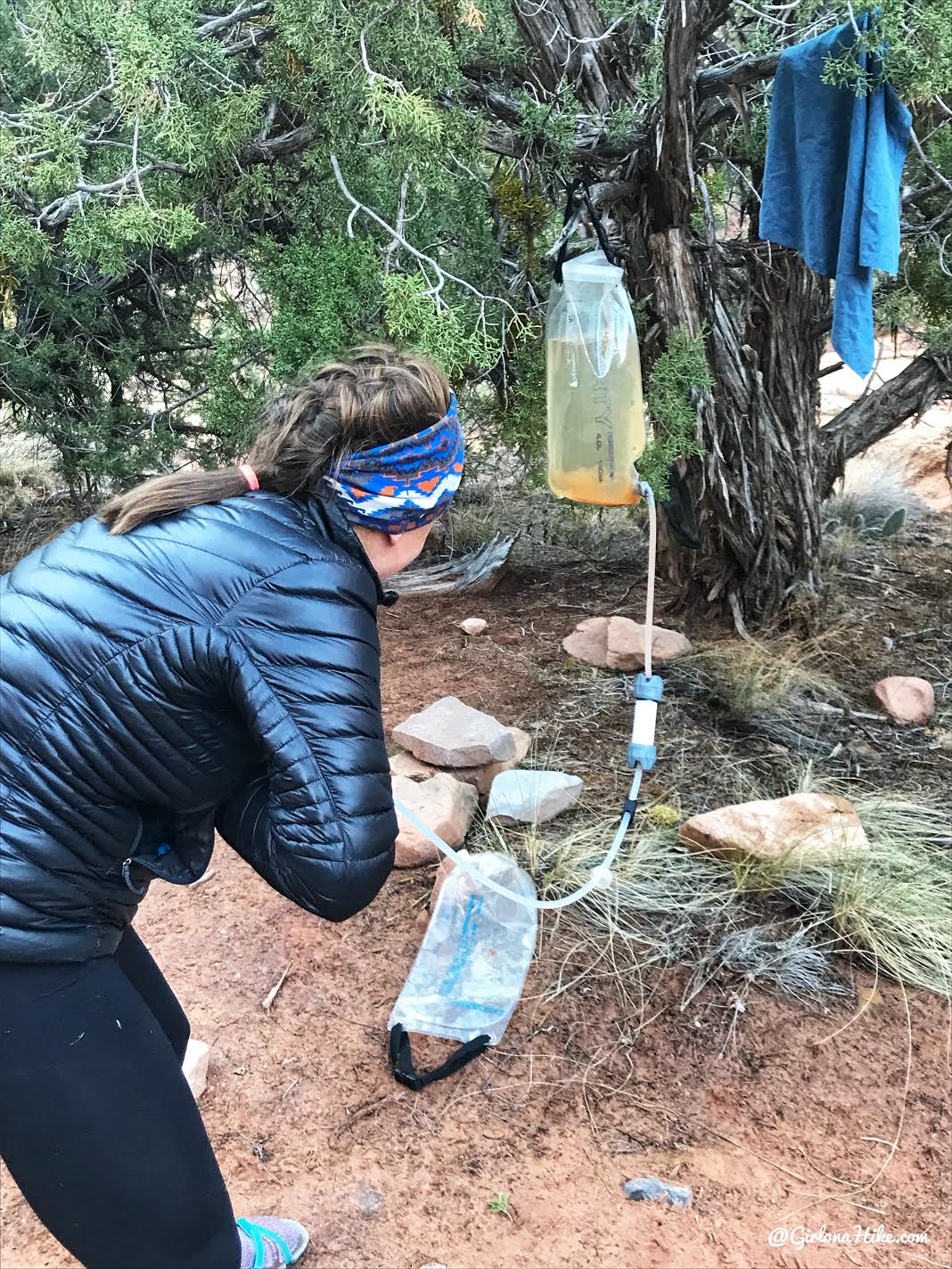
The next order of business was to back flush the Platypus Gravity Filter. I back flush it at a minimum once a trip, but because the water was so sandy we back flushed almost twice a day. You can see the darker dirt at the bottom of the bag hanging up – that all came out of the filter. Gross! All you need to do to backflush it is have either a Sawyer Mini or Smart Water Bottle (it has a perfect nozzle to fit in the filter) with you on the trip. Fill your water bottle up with water (preferably clean), stick the nose into hose (haha that sounds funny), then forcefully squish the water bottle or Sawyer Mini so that the water goes up and back out of the filter. Dump out of the dirty water, and start your filtering process over so that the filter is clean and flows twice as fast.
We knew we only had about 4 miles to reach the cars, so we made our way up canyon again. We kept track on our phones/map so when knew when to look for the canyon exit.
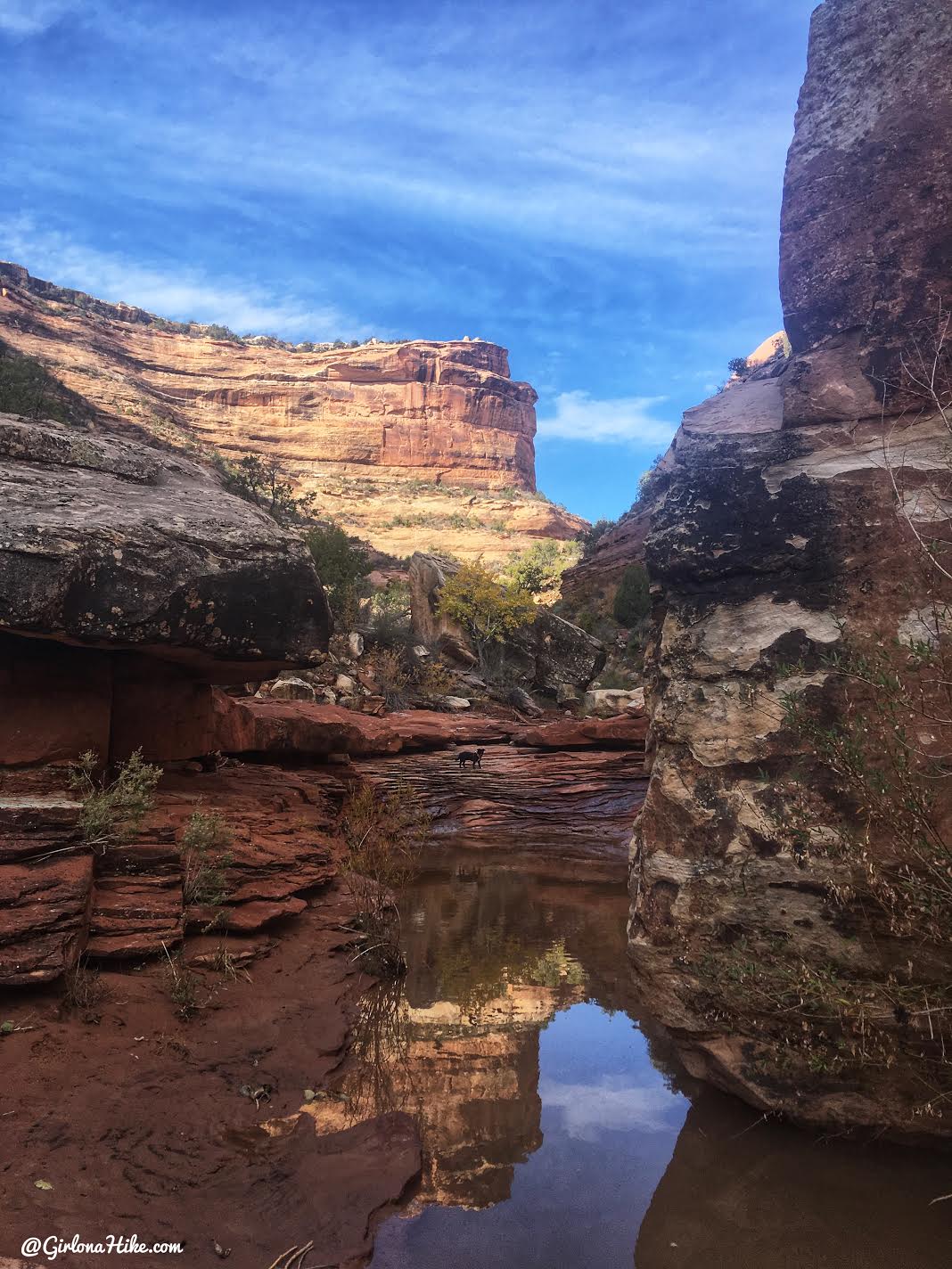
Passing by some more pools of water. So pretty!
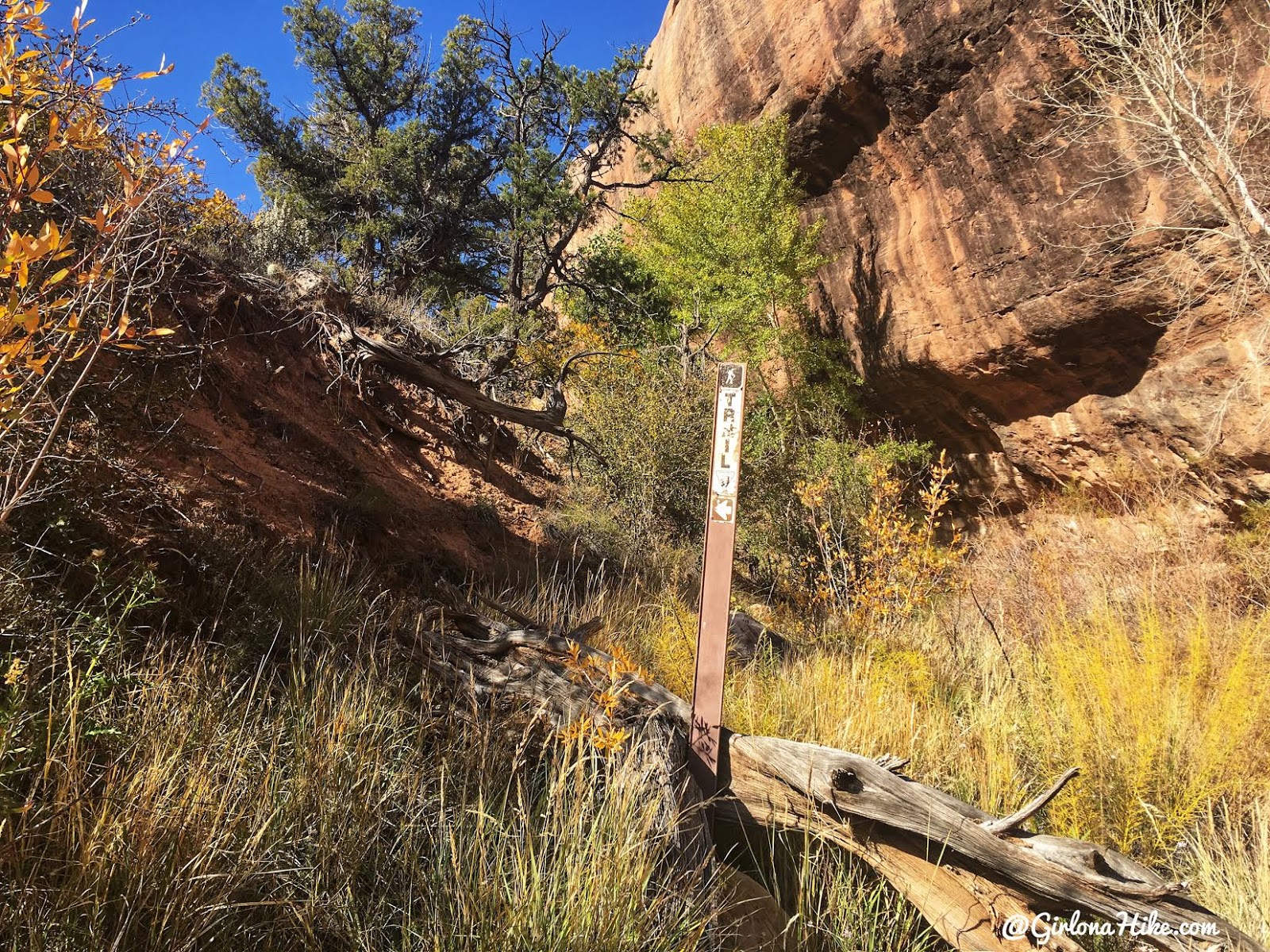
We knew it was time to exit when we saw the one and only tall brown trail maker sign. Time to hike up a steep hill!
For me and the dogs, the uphill wasn’t bad. Heather and Julie were experiencing some bad hip pain, and took their time to climb up the 900 ft ascent.
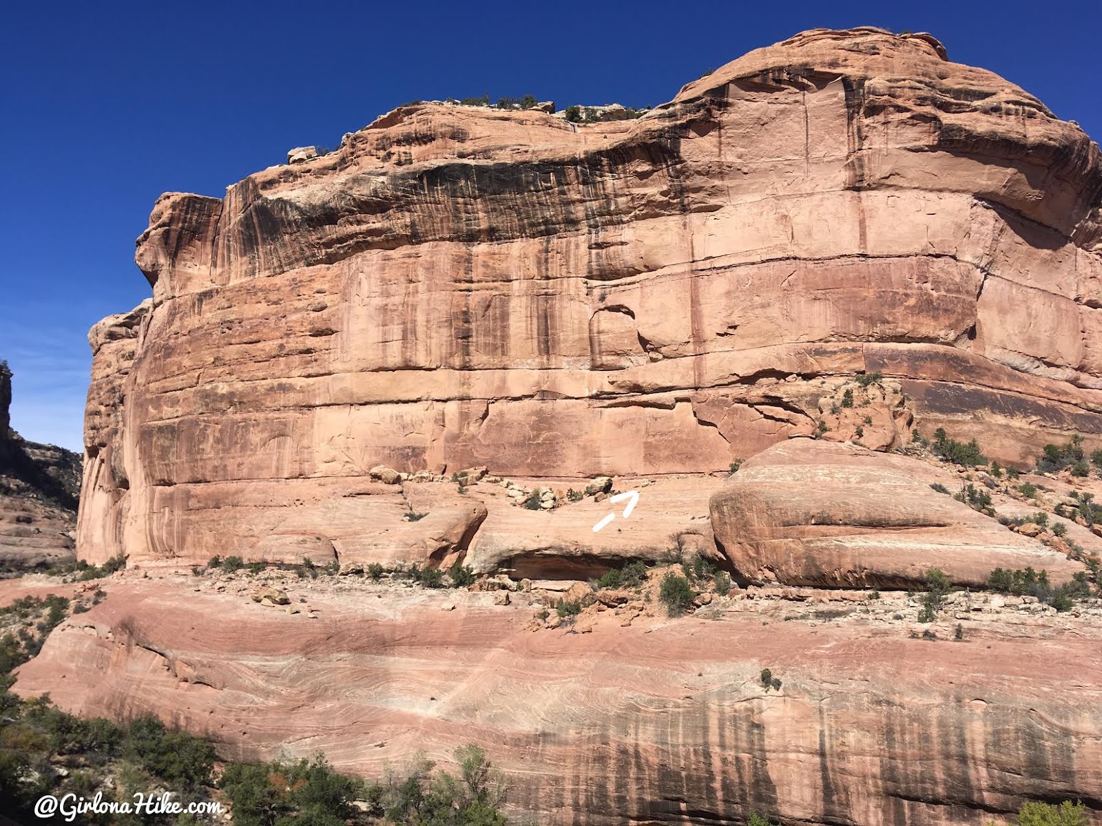
As you get higher up, look for the small kiva built into the crack of the wall. It’s really tiny and binoculars will be helpful to find it. I recently bought these binoculars for backpacking because they are so small yet have good magnification.
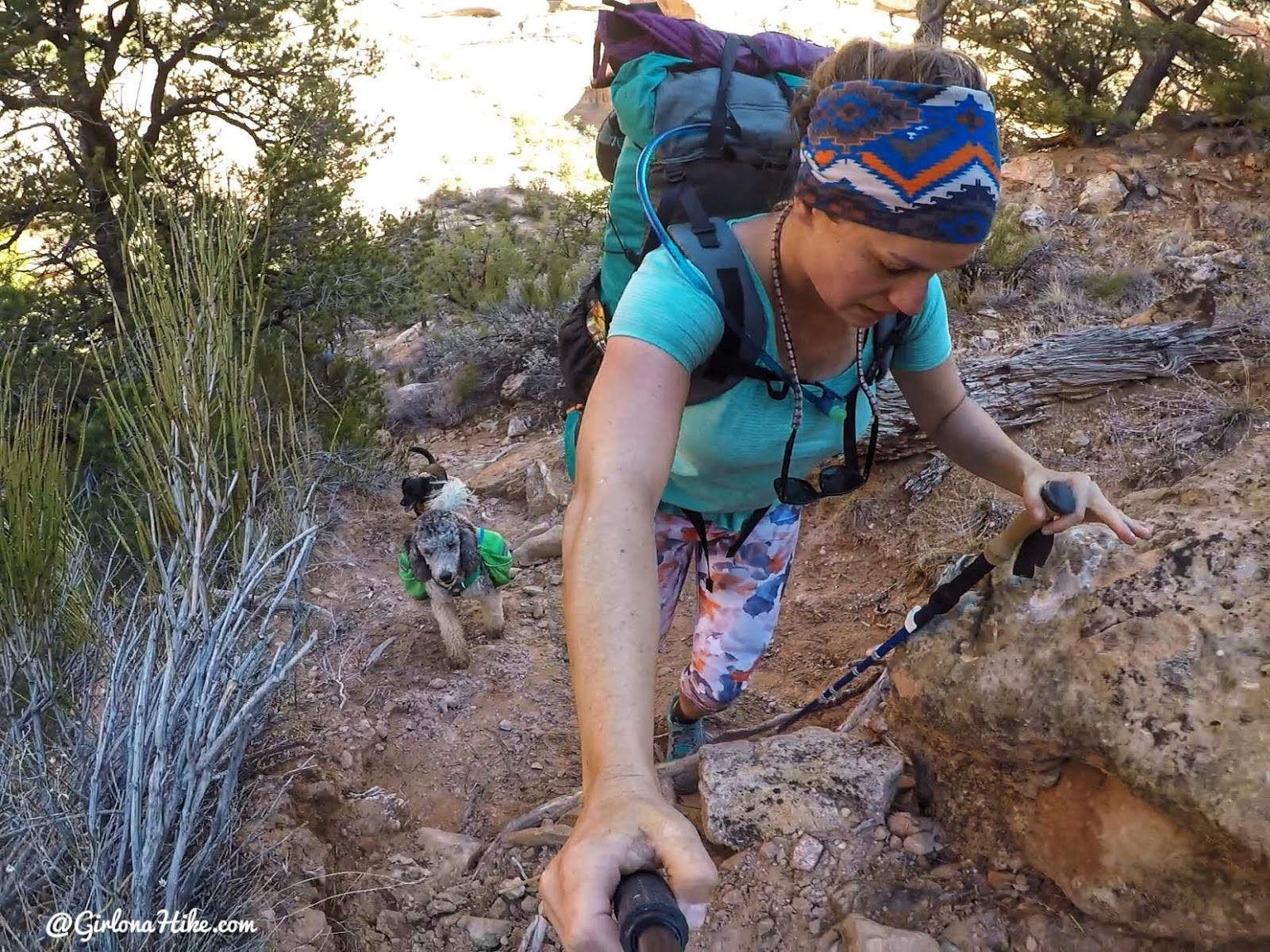
There’s some light scrambling as you get higher. I ended up putting my pole away because it just got in the way of me being able to use my hands.
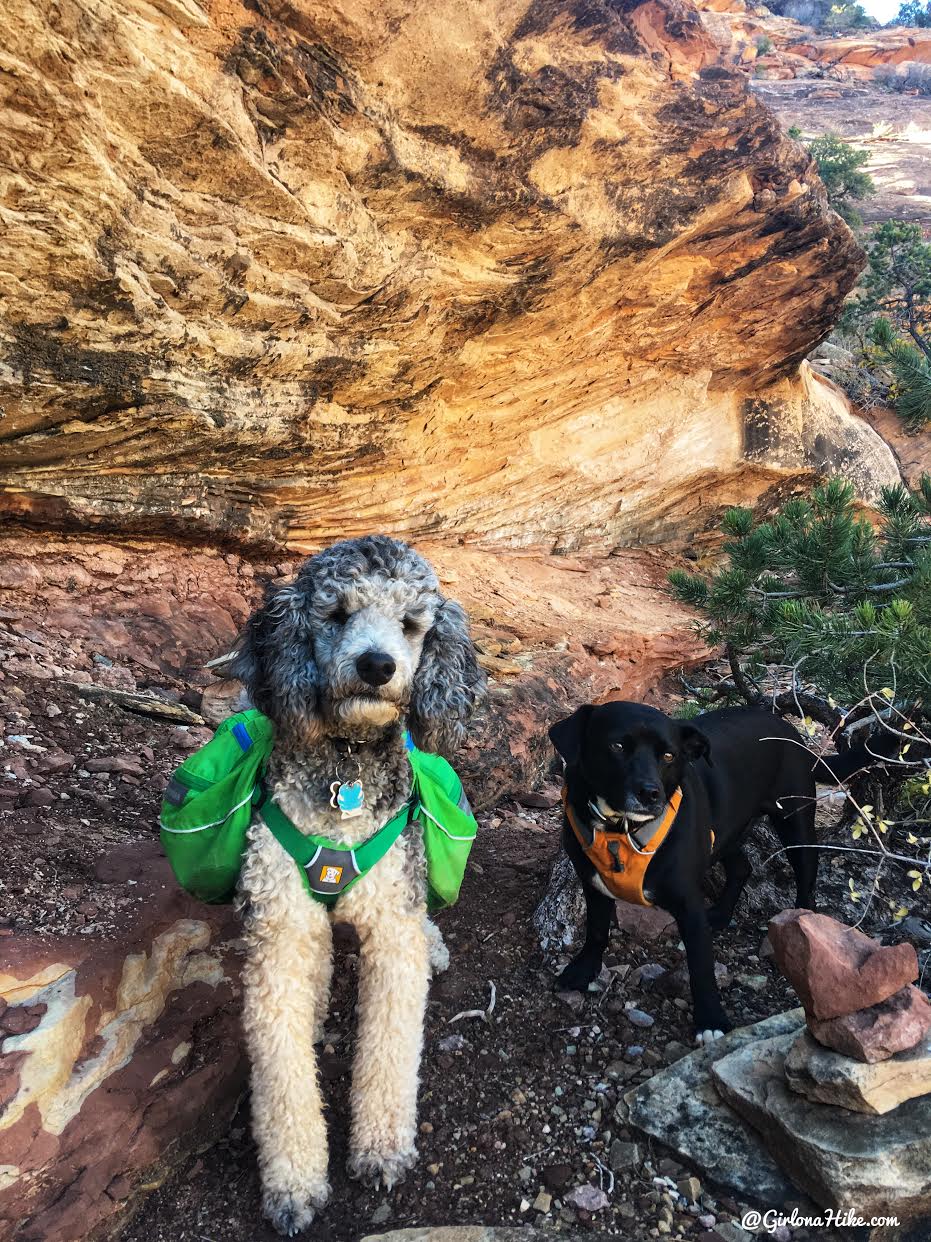
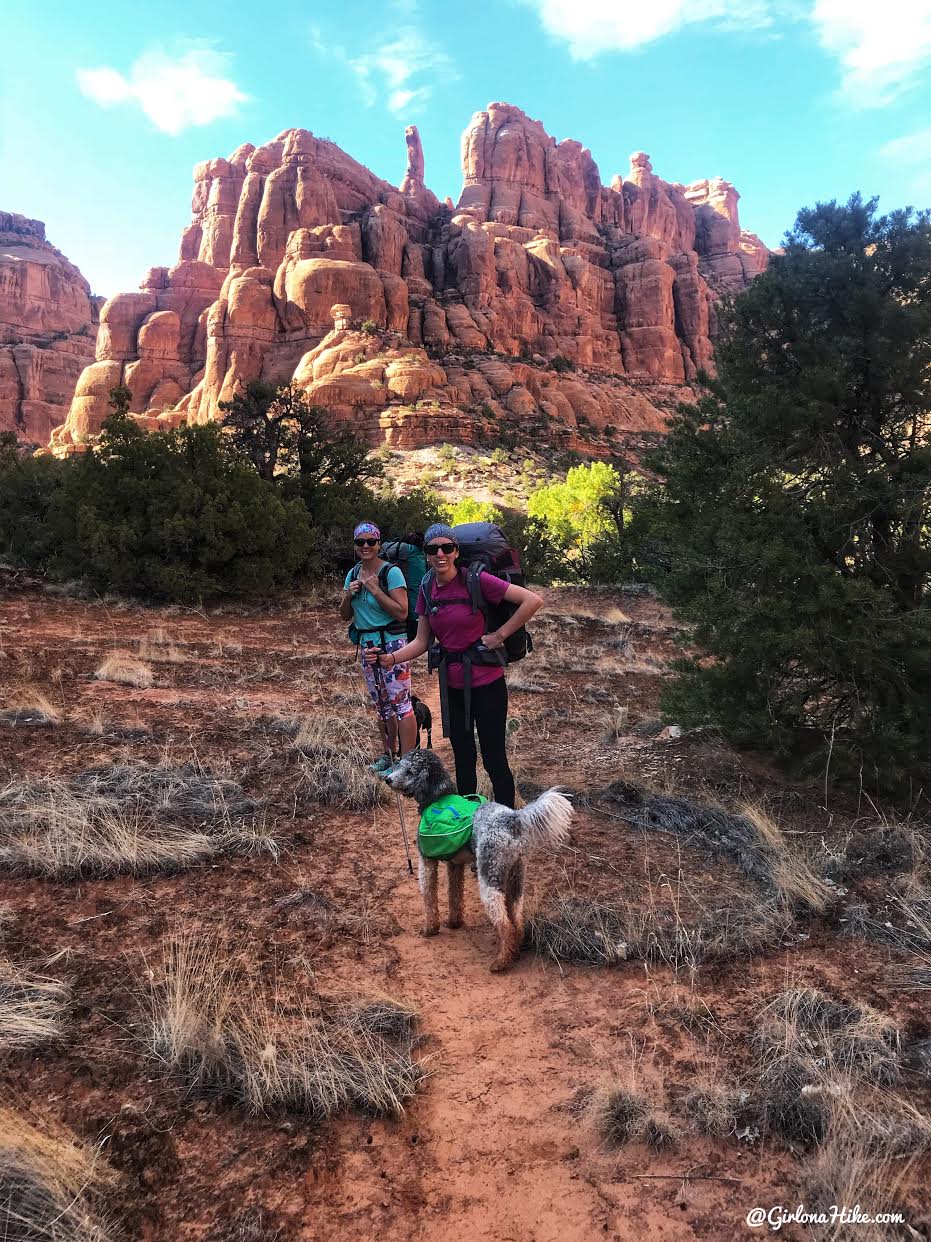
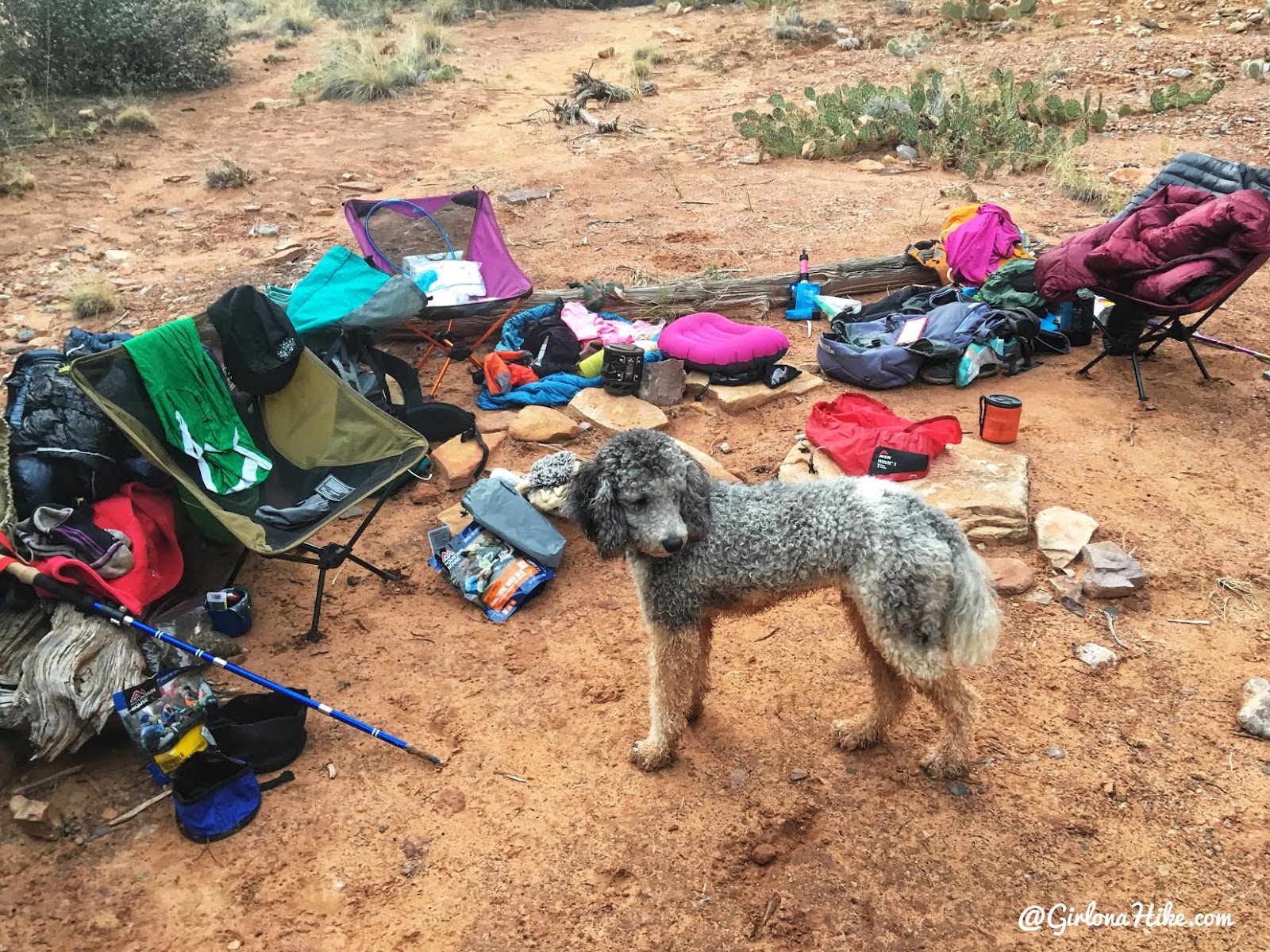
Charlie and Watson did such a good job! My Charlie had to stay home because of a paw injury but Little Charlie (as I call him) is a 1 year old, 30 lb Standard Poodle, and Watson is a 3 year old Reservation Mutt. They both love backpacking with their mamas!
Time to climb!
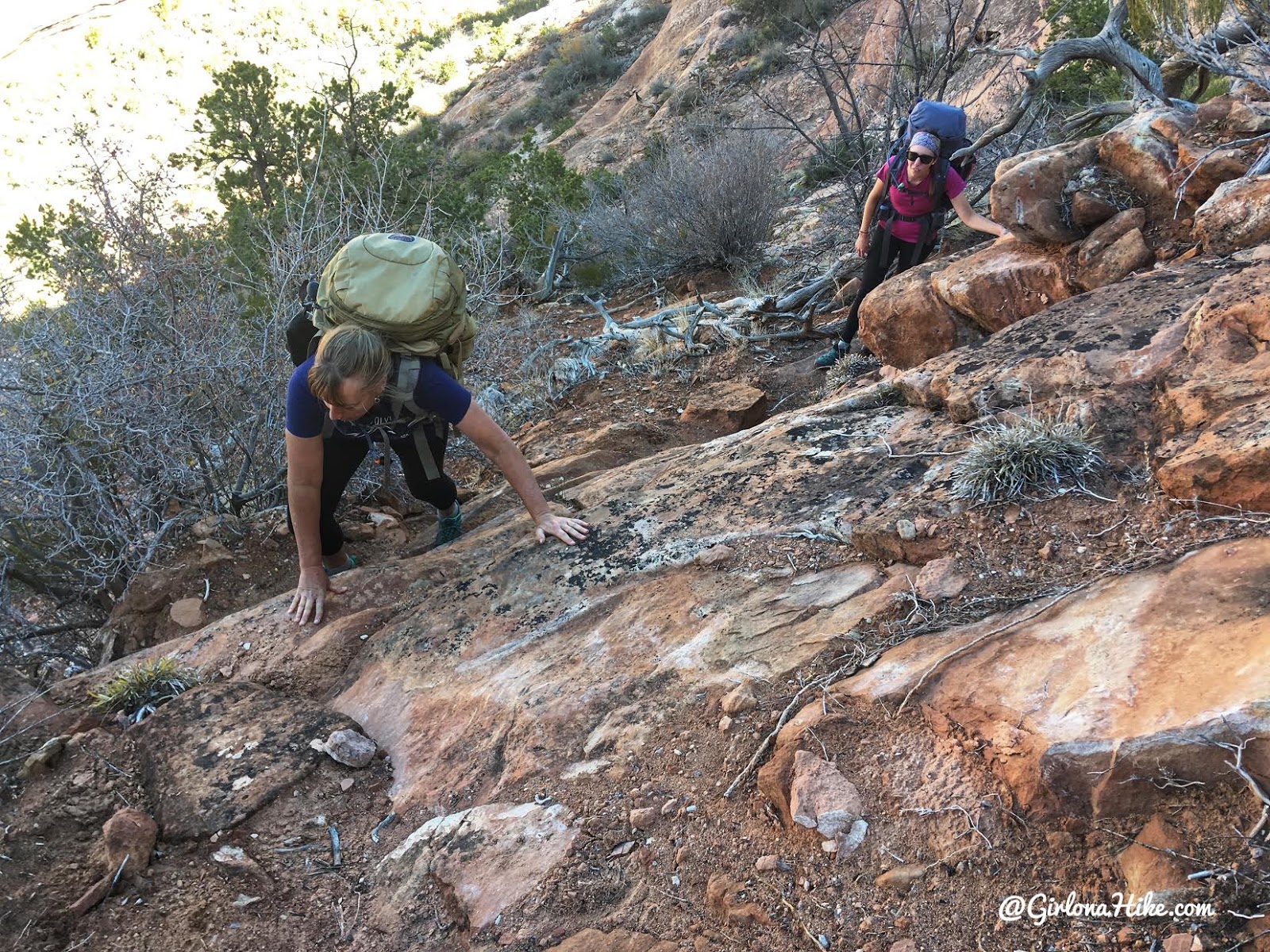
You will need to use all fours to get up some sections of the ascent to the ridge. I was really glad we decided to do this route counter clockwise, because it would be harder to go down this section with a heavy pack. At least going up, you can push your weight up with the help of a pack.
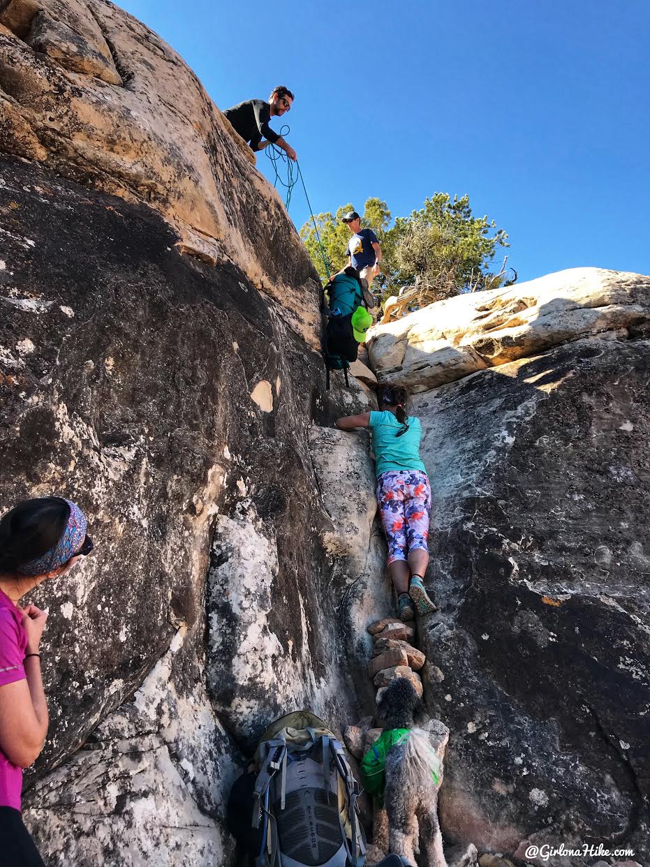
At last, we reach the 10 ft crack we’d heard about. Thankfully another group of 3 men we kept leap frogging on the trail waited for us, and helped get our pack and pups up. It’s a fairly easy climb up, with two really good hand holds. I went first, and thought I might be able to climb with my pack on, but it was too awkward, so I took it off. I tied some paracord to it, and the guys hoisted it up for me.
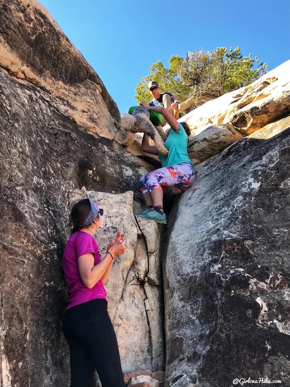
Next it was time to pass the pups, and we created a line to pass them one by one. These dogs are both only 30 lbs so it wasn’t hard at all, but I could see it being more difficult with heavier dogs, like my Charlie who is 70 lbs. You’ll definitely want to carry a small 15-20 ft paracord with you, just in case.
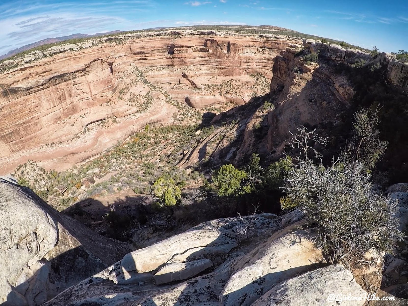
Looking down Fish Canyon – see ya later!
Wrapping up the Trip
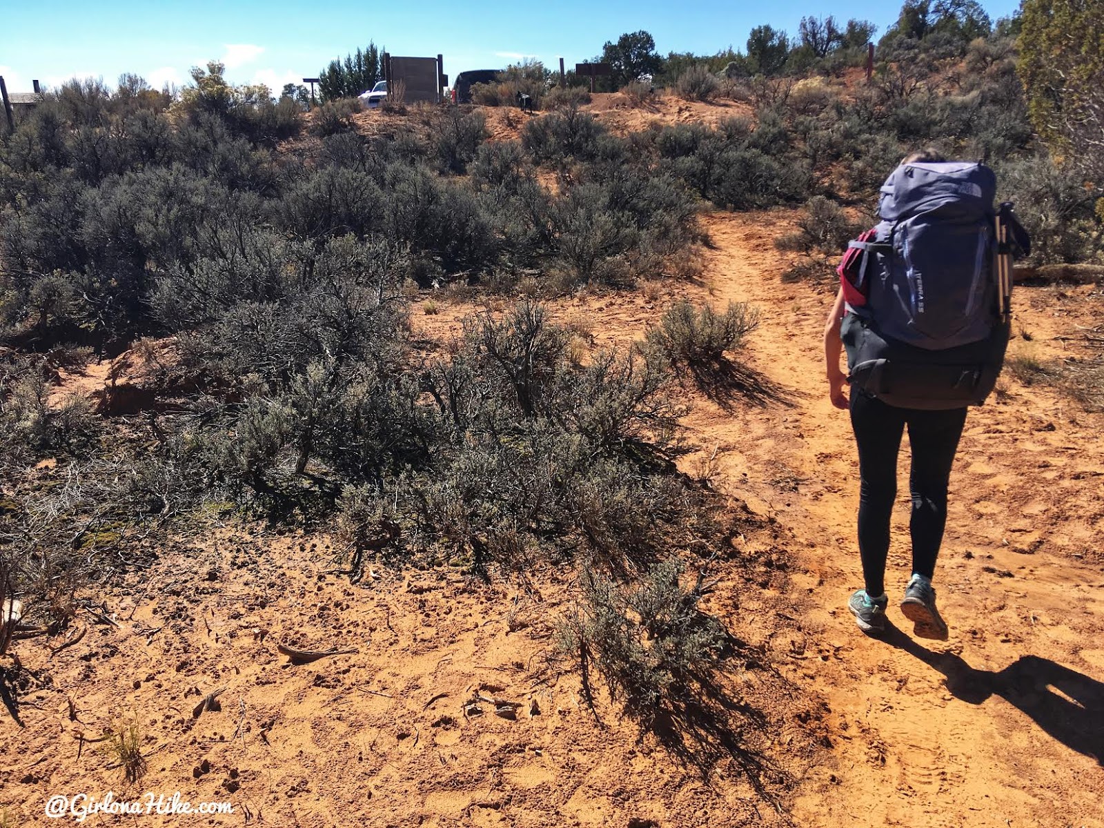
The next 1.7 miles was across sandy, rolling hills, and through lots of cryptobiotic soil and Juniper trees. The trail was really well marked with cairns, and we made it back to the cars safely.
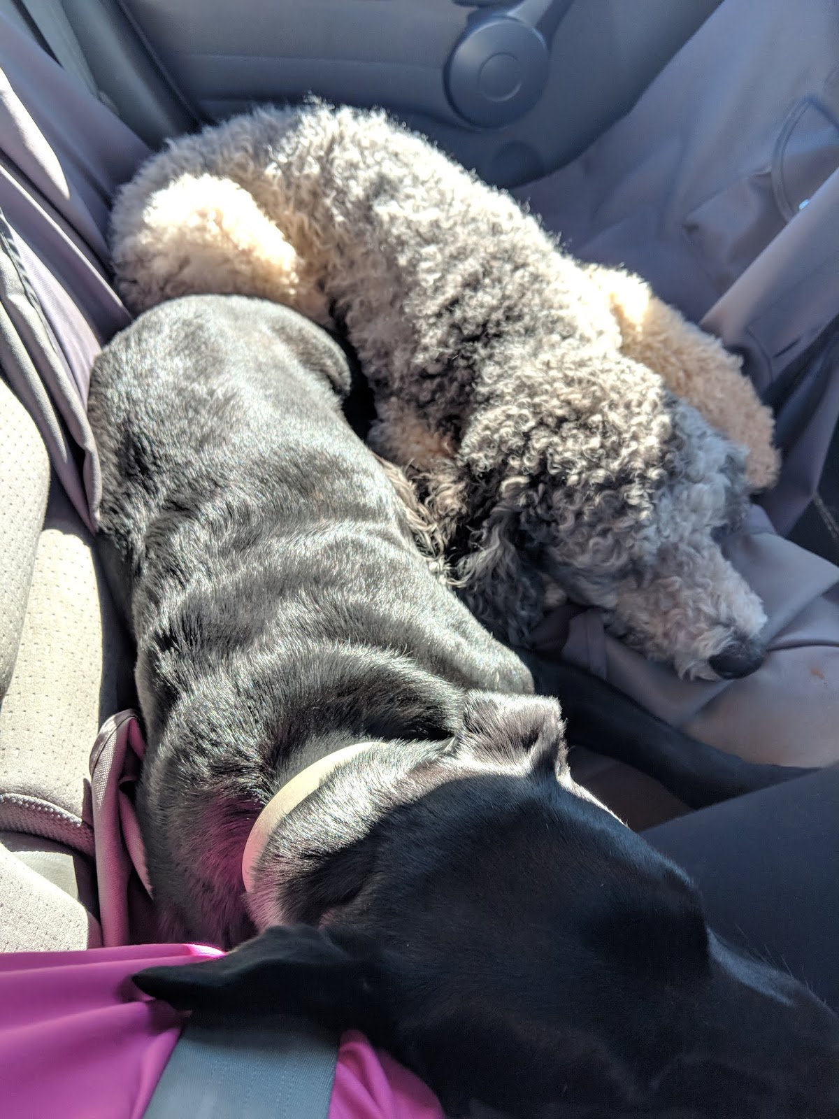
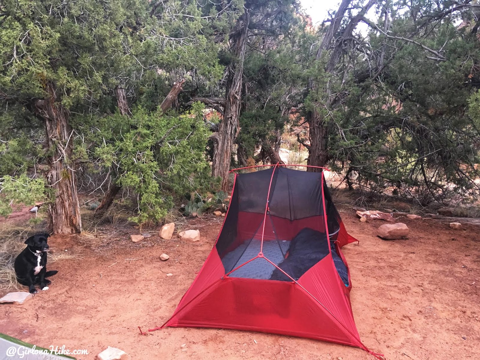
We finally wore out the dogs!
I recommend keeping a cooler in your car for when you are done with your trip – stock it with frozen water bottles and a few snacks to hydrate when you get back. A beer or two would help too haha!
Trail Map
My counter clockwise track via Gaia GPS – the best tracking app! The yellow pin is where the crack is located. Get your app here for a discount.
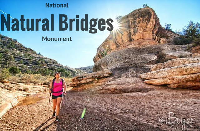
Nearby Hike
Hiking at Natural Bridges National Monument

Save me on Pinterest!