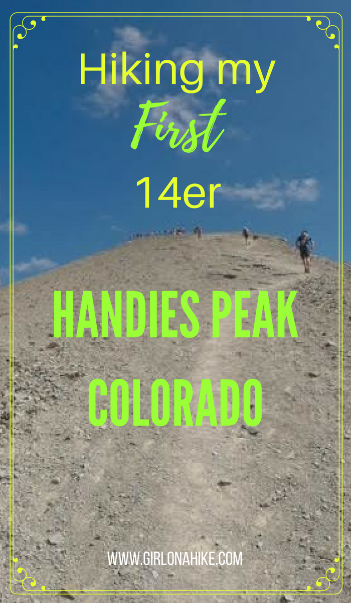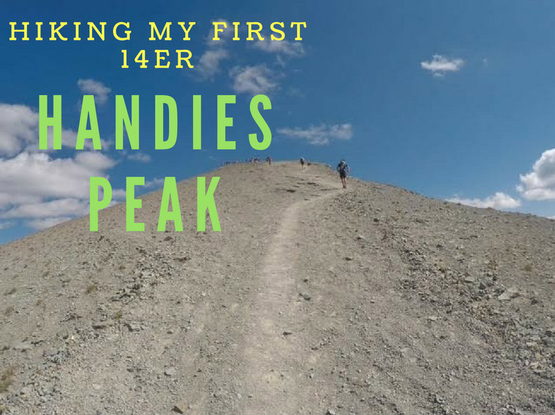
Hiking Handies Peak – Colorado’s Easiest 14er
Handies Peak (14,048 ft) is a stunning summit located near Silverton, Colorado, and it’s one of the most accessible 14ers (mountains over 14,000 feet in elevation) in the state. This peak just so happened to be my very first 14er, and what an incredible introduction to Colorado’s high country it was! If you’re new to the term, a “14er” refers to any peak that rises above 14,000 feet—there are 96 total in the U.S., with Colorado boasting the most at 57.
Why Hike Handies Peak?
Handies Peak is often considered one of the easiest 14ers in Colorado, making it a great option for first-timers. The round-trip distance is just 7 miles with an elevation gain of 2,400 feet, and there’s no scrambling required. The well-defined trail makes it one of the most beginner-friendly 14ers while still offering rewarding views and high-alpine beauty.
However, altitude is the biggest challenge. The trail starts at approximately 11,600 ft and ascends to 14,048 ft, which means you’ll feel the effects of thinner air quickly.
Whether you’re a seasoned hiker or attempting your first 14er, Handies Peak is a rewarding and scenic summit that provides a real taste of high-alpine Colorado without too much technical difficulty. Be sure to plan ahead for the altitude, bring plenty of water, and start early to avoid afternoon thunderstorms—typical in the Rockies during summer.
Altitude Tips & Experience
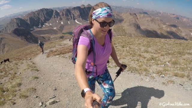
Despite being experienced hikers accustomed to higher elevations, my group and I had never hiked this high before. I have exercise-induced asthma, so I monitored my heart rate closely to avoid triggering an episode. I kept my pace slow, took frequent breaks, and made sure to stay hydrated throughout the hike.
Even those without respiratory conditions can experience altitude sickness on this trail, so be sure to:
-
Acclimate for at least a day or two if you’re coming from lower elevations
-
Drink plenty of water
-
Pace yourself
-
Bring electrolytes or altitude supplements if needed
Dogs & Family-Friendly Vibes
One of the highlights of this hike was how dog- and family-friendly it is. Dogs can go off-leash and have access to plenty of water sources along the trail, including Sloan Lake, which is a perfect spot for a swim or water break. I was pleasantly surprised to see several children on the summit! One memorable encounter was with a father and his 8-year-old son, both geared up with trekking poles and backpacks—truly inspiring!
Directions
Use this map if driving from Silverton, CO.
Since the GPS may not work with these dirt roads and when you lose service, here are the directions. From Silverton, CO head East on HWY 2 for 8 miles towards Animas Fork, CO. Follow all signs for Cinnamon Pass. Once over the pass, continue on HWY 5 until you see the sign for American Basin. Drive to the very end of the road where the trail for Handies Peak starts. You WILL need a high clearance, 4×4, car past Eureka. As soon as you make the sharp turn for Cinnamon Pass the road gets really rough. The drive from Silverton to American Basin will take about 1 hour 15-30 minutes.
Trail Info
Distance: 7 miles RT
Elevation gain: 2,471 ft
Time: 4-6 hours
Dog friendly? Yes, off leash
Kid friendly? Yes, I saw several kids under 10 on the summit but it depends on their experience
Fees/Permits? None
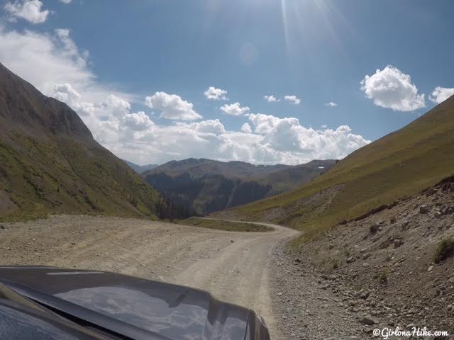
The road does require 4×4 drive – there are several warning signs. We had a Toyota Tacoma and that worked great. This is one of the nicer sections of the road.
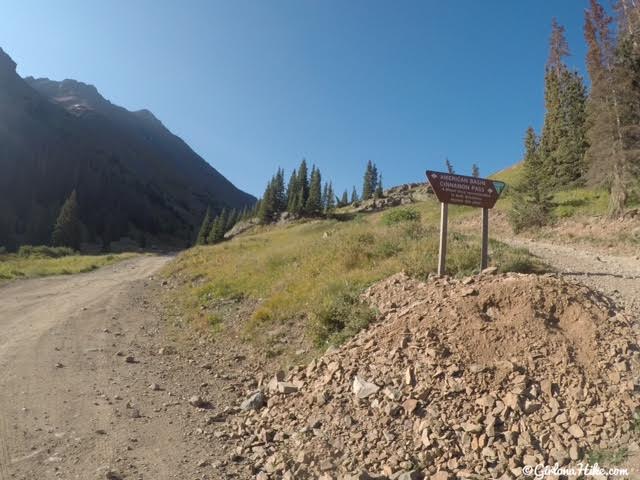
Follow Cinnamon Pass (HWY 5) road until you reach the turnoff for American Basin.
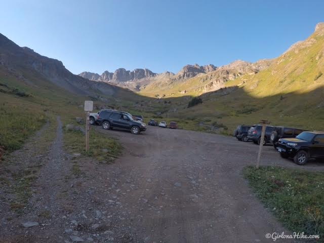
The trailhead starts at the end of the road in American Basin. You can also park further down the road then walk up. There is plenty of free, dispersed camping in the area. Backpacking is allowed on this trail.
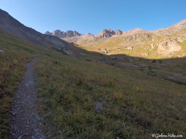
The trail starts by heading south, towards American Basin.
Only 3/4 mile in and we needed a breather break!
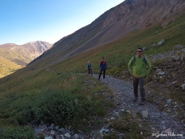
The views start to open around mile 1, then you will hike up a few small, steep switchbacks as the trail turns East.
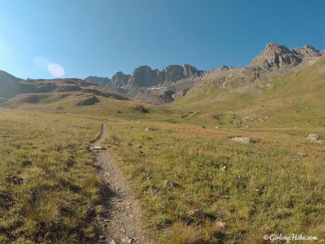
From this point, you should be able to see the false summit of Handies, just below the cloud in the top of the photo.
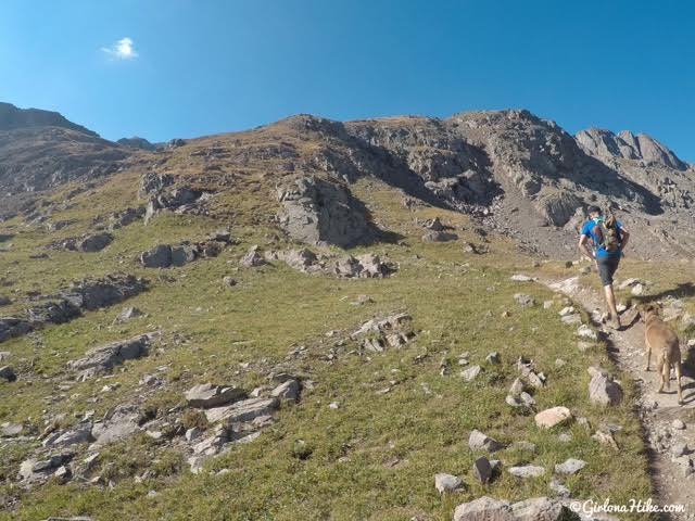
The trail briefly turns South again, and up a steep hill.
Sloan Lake
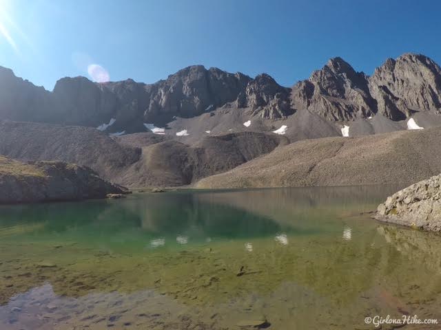
Sloan Lake is really pretty!
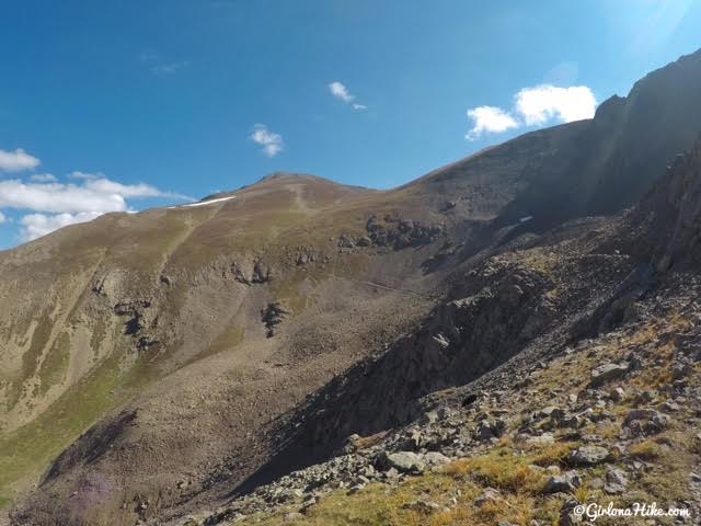
From Sloan Lake, you should be able to see the trail and people coming down.
This section is rocky, and you will descend a little bit. You can clearly see the trail across there now.
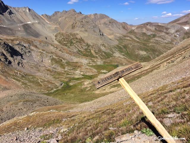
I guess there used to be an original/old trail to the summit. This has now been closed off for revegetation.
Scenic Switchbacks
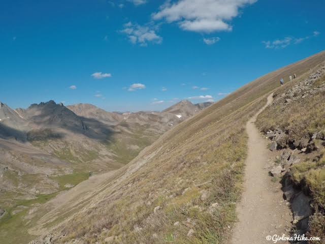
Hike up a few long switchbacks.
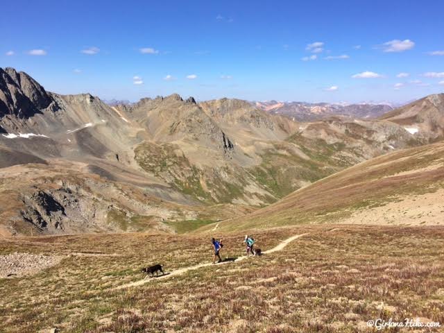
Looking down to my friends making their way up.
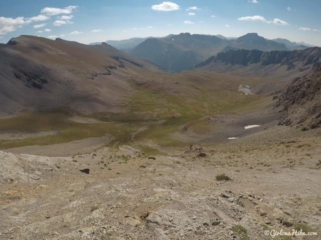
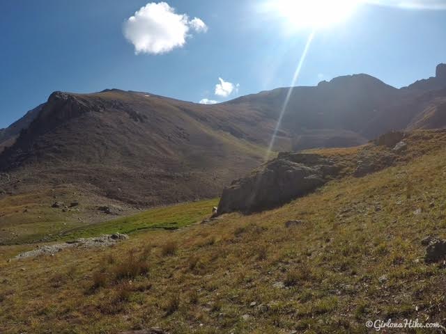
At the saddle looking into the East basin, Boulder Gulch!
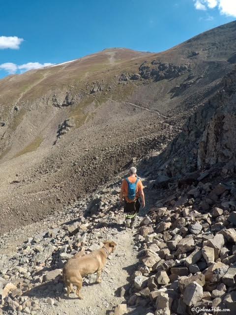
Final Push to Handies Peak
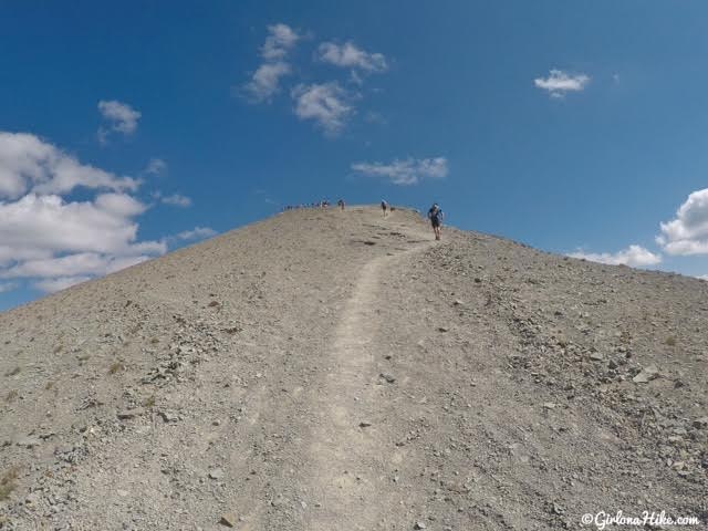
Hiking up higher and higher….
I’ve gotta be there by now, right?!
On the Summit
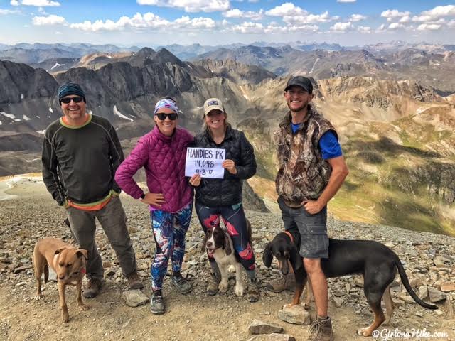
On the summit with my buddies!
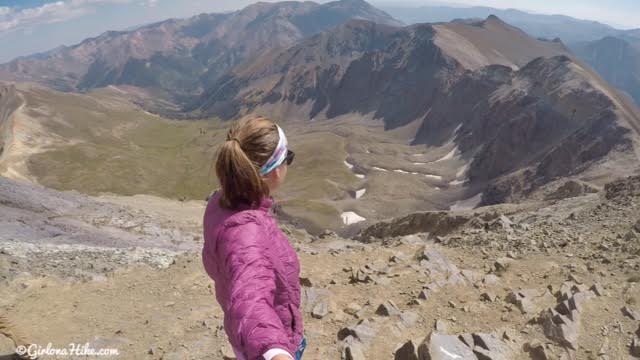
Looking North down into Grizzly Gulch – you could also take this route to summit Handies Peak. Both are about the same distance.
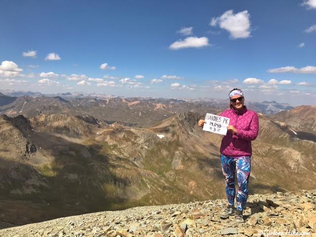
My first 14er!
Trail Map
Nearby Hike
Only 5 miles of a drive from Silverton, CO!


Save me on Pinterest!