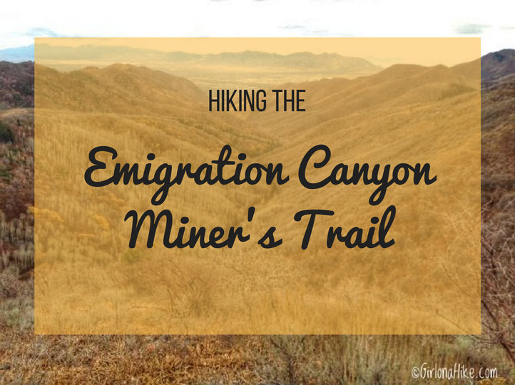
The Miner’s Trail in Emigration Canyon is a nice, quiet hike to do with your dogs. The trail leads to a great overlook of Red Butte Canyon, and along the way you’ll follow the old jeep trail the miners used to access mines, now gated off. The trail is pretty exposed to the sun, so if you are looking for shade, this isn’t the trail for you. The Miner’s Trail follows the contour of the hillside, and passes by rocky outcroppings, crosses a stream, cuts by a meadow, and towards the end, offers the hardest part of the hike up a few hundred feet to the ridgeline. This hike is safe to do year round, but my favorite time of year is Fall.
Directions
Drive North on Foothill Drive, and turn right on Sunnyside Blvd, which leads you into Emigration Canyon. You’ll pass by the Hogle Zoo and Ruth’s Diner on your right. Drive up the canyon until you reach the hairpin turn. As soon as you see the hairpin turn, turn left into Pinecrest Canyon. At the “Y” in the road, keep left for Pinecrest Canyon. Drive up another 1.3 miles past the “Y”, until you see the very small parking lot on your left, with a big sign that says “Attention: Big Game Hunters!”
There is enough parking for 5-6 cars. NO parking is allowed along the road (it’s all private property and fire lanes – you will get towed). Here’s is a driving map. As a side note, be careful when driving up Emigration Canyon – it’s really popular for cyclist and runners to train here for it’s gradual elevation gain that leads to Little Mountain Summit.
Trail Info
Distance: 5 miles RT
Elevation gain: 1,158 ft
Time: 2-4 hours
Dog friendly? Yes, off leash
Kid friendly? Yes
Fees/Permits? None
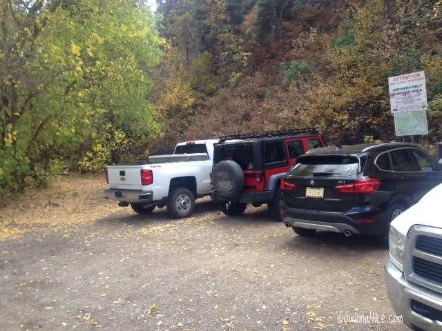
This is where the trail starts. Parking is extremely limited, so plan to hike here really early in the morning or mid-week. Parking is also hard to get during hunting season (it’s a popular spot for bow hunters August 20th – October 31st).
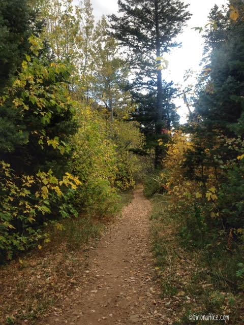
The trail begins by heading south. Pass by the old gate. The trail is pretty level for the first mile, and wraps around the south end of the mountain.
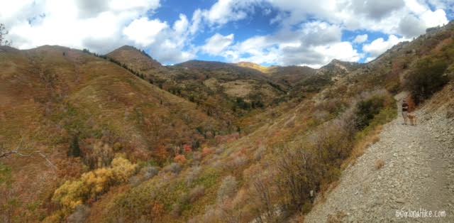
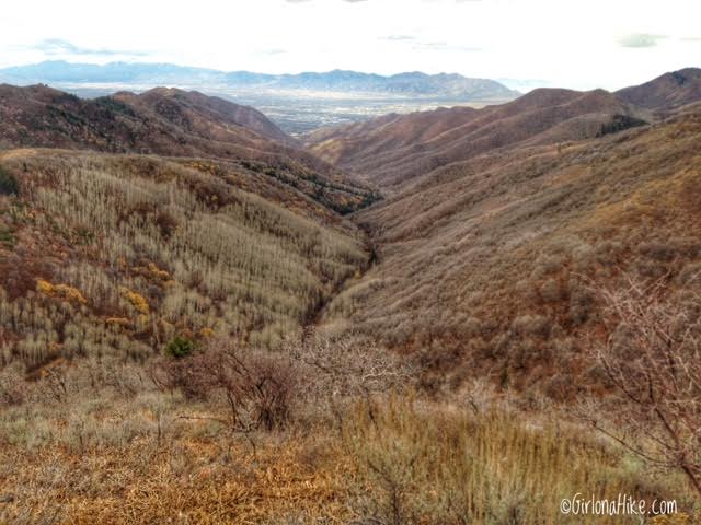
Eventually, the trail wraps around the mountain, and you’ll then be hiking North. This is the first time you’ll have a view of the canyon you’ll be hiking up. It’s also called Brigham Fork.
The trail vegetation changes from scrub oak to more forested as you gain elevation. You’ll also hike over some red rock.
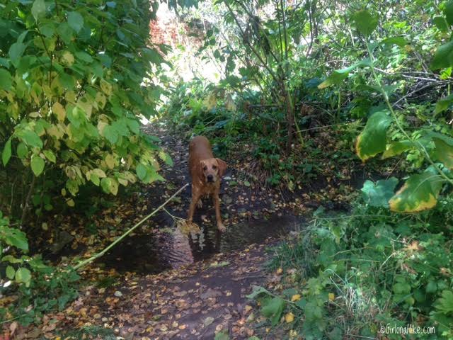
At 1.9 miles you’ll cross a very small stream that flows year-round. Perfect spot to let the dogs drink and rest!
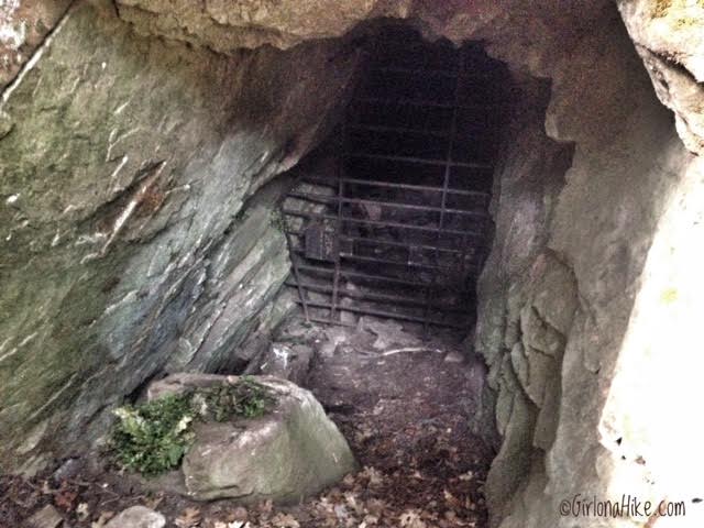
Just after you cross the stream you’ll see a very big tree and a rocky area. If you know where to look, you can find the old mine entrance.
Continue North again.
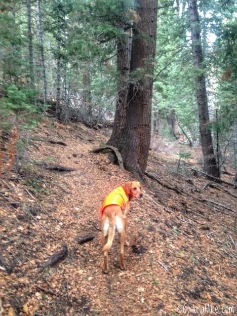
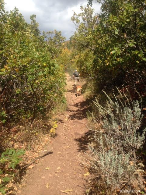
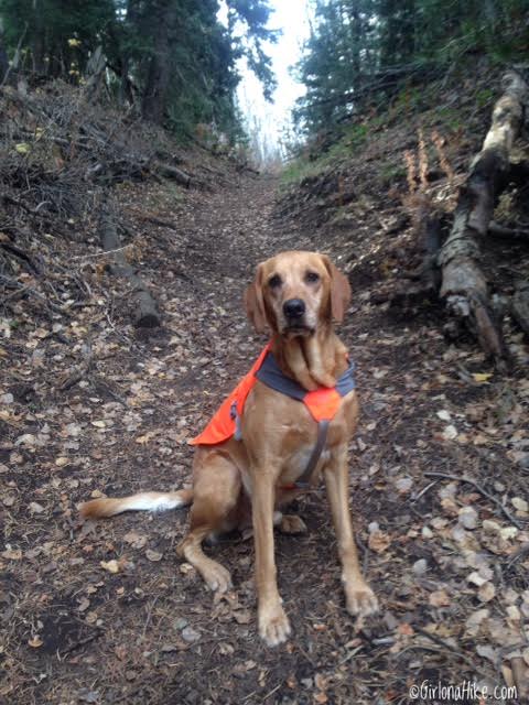
The trail curves to the right, through a forested area. I put Charlie’s Ruffwear Track Jacket on, since this is a popular hunting area. Always be prepared with some kind of blaze orange for both you and your dogs when hiking during hunting season.
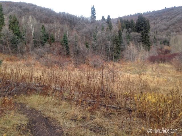
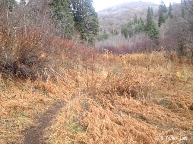
The open meadow. Continue left, where you should now be hiking West.
The last 1/2 miles is STEEP and the hardest part of this trail. Charlie sits and waits for me to catch my breath! Hiking poles will be helpful here.
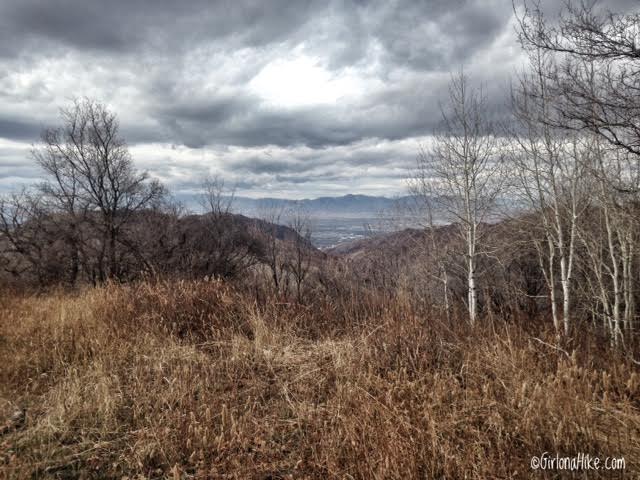
After the steep section, you should now be on the ridge. But you can’t see very much, so turn Right and hike up a little further.
About 100 yards up the trail you should have an awesome view looking down into Red Butte Canyon! This is where I usually turn around, but if you wanted to keep hiking, you can actually reach Lookout Peak. The more popular route to Lookout Peak is via Killyons Canyon, but this way works too. If you were really feeling on point, you could create one big loop. Start at the Miner’s Trail, work your way up to Lookout Peak, then come down Killyons Canyon. You would need to drop a car or have someone pick you up but it can be done. My partner ran the loop with a friend in around 4-5 hours.
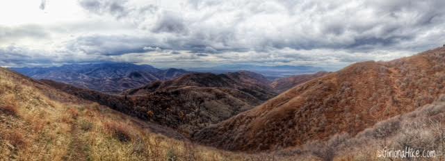
Panorama of the overlook at the end of the Miner’s Trail.
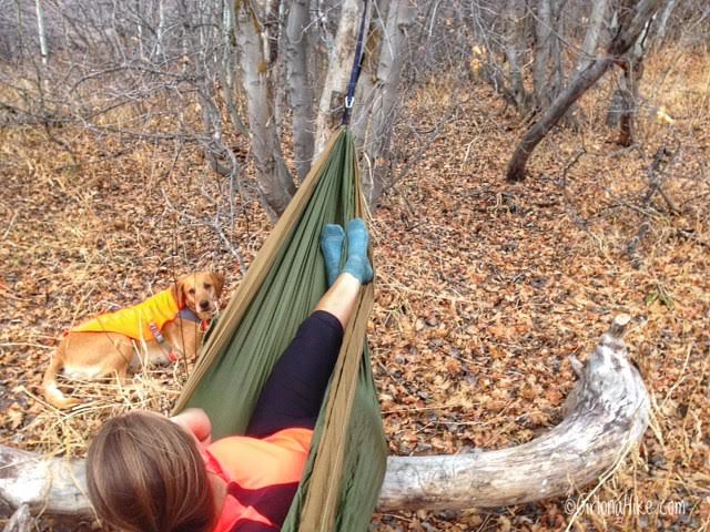
On the way back down, Charlie and I found a quiet area to set up our new hammock and rest for a little bit.
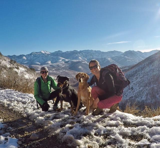
November 2017
Lots of mud!
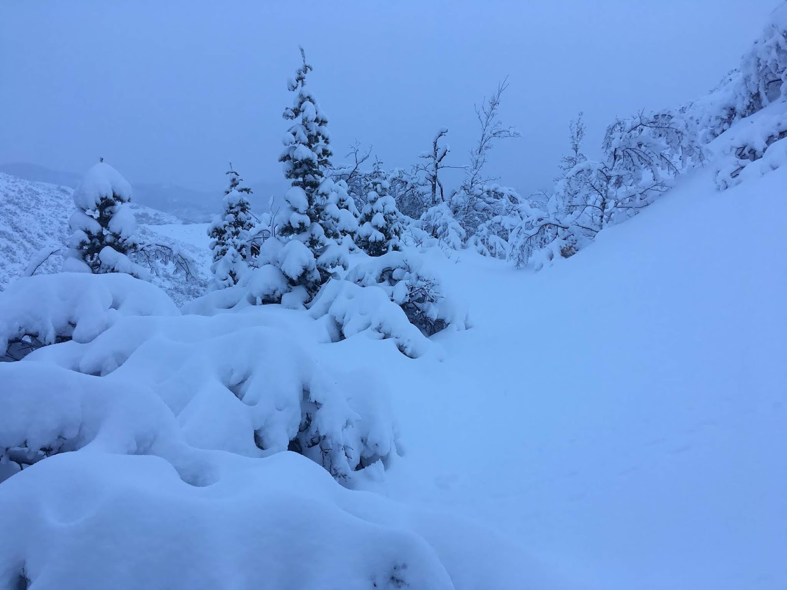
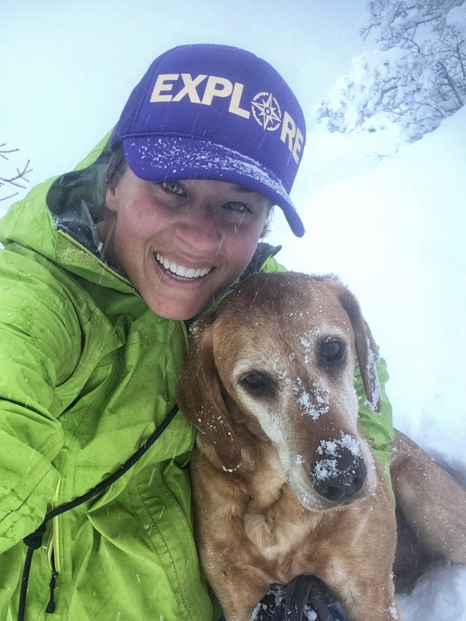
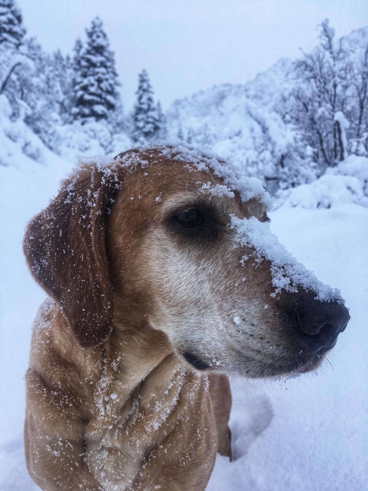
January 2019
So. Much. Snow!
Trail Map
My track via Gaia GPS – the best tracking app! Get your app here for a discount.
Nearby Hike
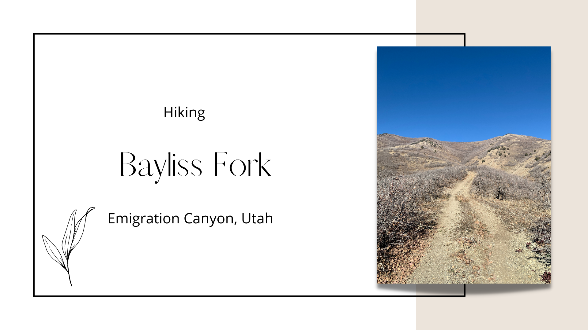
Hiking the Bayliss Fork Trail, Emigration Canyon


Save me on Pinterest!