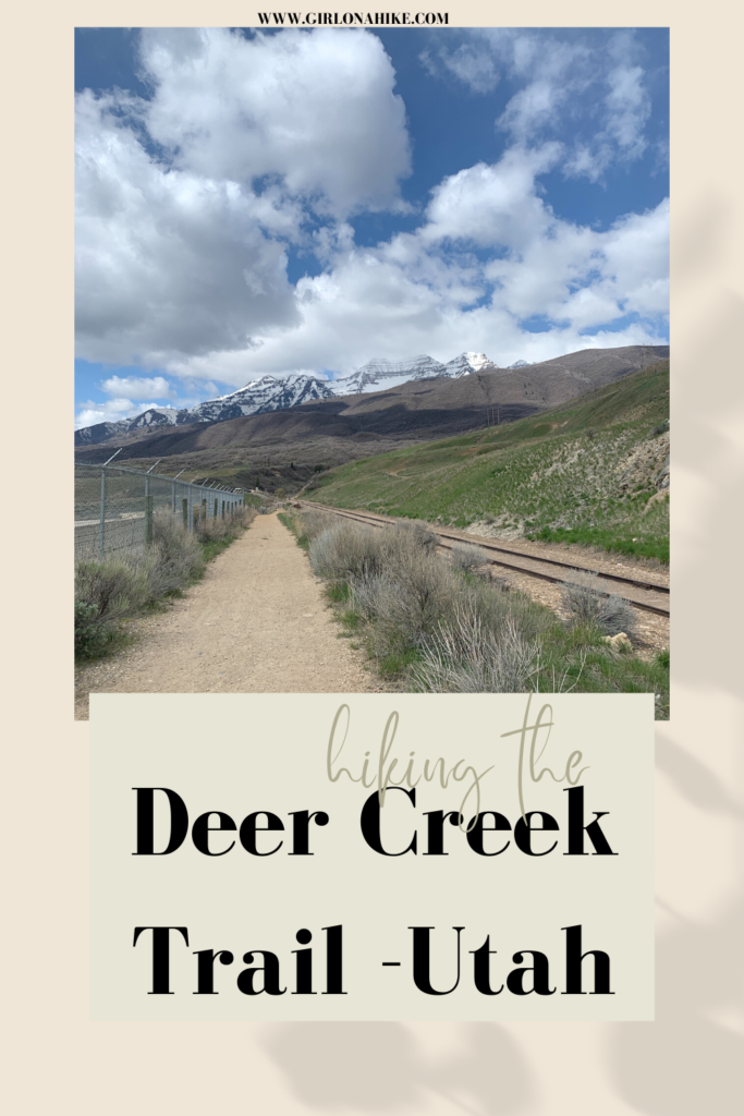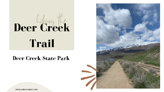
Hiking the Deer Creek Trail in Deer Creek State Park, follows the western edge of the reservoir from North to South, and is a segment of the Provo-Jordan River Parkway Trail.
About
This wide, dirt path is currently 7.5 miles one way, however, there are plans to connect it even further below the dam. This is a perfect route to trail run, as the hills are very gradual. The views with Cascade Mountain and Mt.Timpanogos in the distance can’t be beat. Spring seems to be the best months to do this trail as the temperatures aren’t blazing hot (there’s zero shade), the flowers are in bloom, and the bugs haven’t arrived. However, the trail is accessible year-round.
The best part about The Deer Creek Trail is that you can choose your distance – go for an easy 2 mile walk, ride your bike, or do the whole out and back route. I started at the North TH, went to the South TH, then back, creating a 15 mile (I added on a little extra) out and back run.
Directions
There are two trailheads. This is the North Deer Creek TH and this is Deer Creek South/Dam TH. You can start at either end.
Trail Info
Distance: 7.5 miles one way
Elevation gain: 600 ft
Time: If hiking, 8 hours RT. If running, under 4 hours RT
Dog friendly? No, dogs are not allowed
Kid friendly? Yes, but only for a mile or two
Fees/Permits? A permit it not needed, however, you do have to pay the state park fees to access the trail. Bring cash as there is no check-in station with a person to provide change or use a CC.
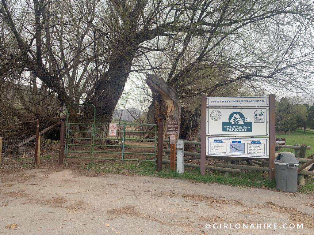
Don’t forget to hang up your state park pass OR pay the $10 fee! When I got back to my car the state park police were there ticketing the other non-paying cars.
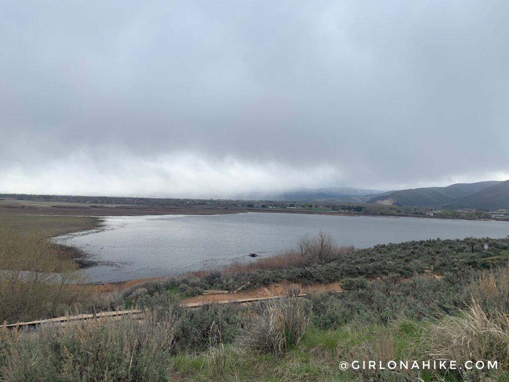
The day I ran this quite a bit of weather was moving through the area, but surprisingly I stayed dry. The first views of the Deer Creek reservoir were very pretty!
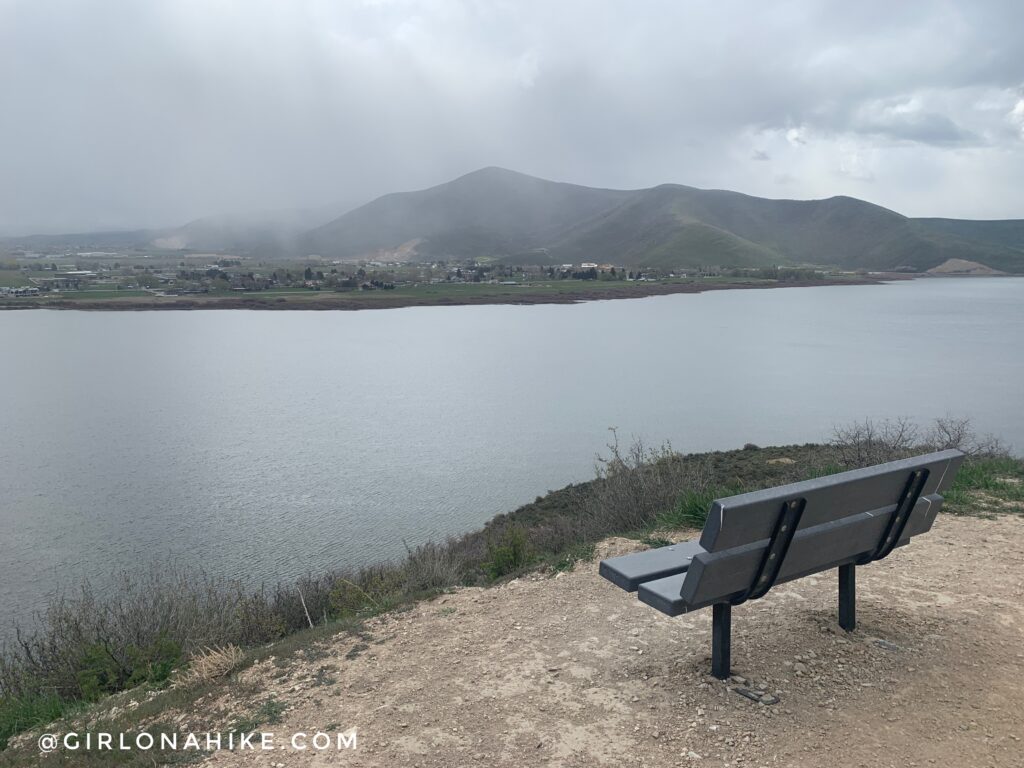
The first 3/4 mile is uphill, but makes for a good warm up. Benches are dotted along the Deer Creek Trail the entire way as well.
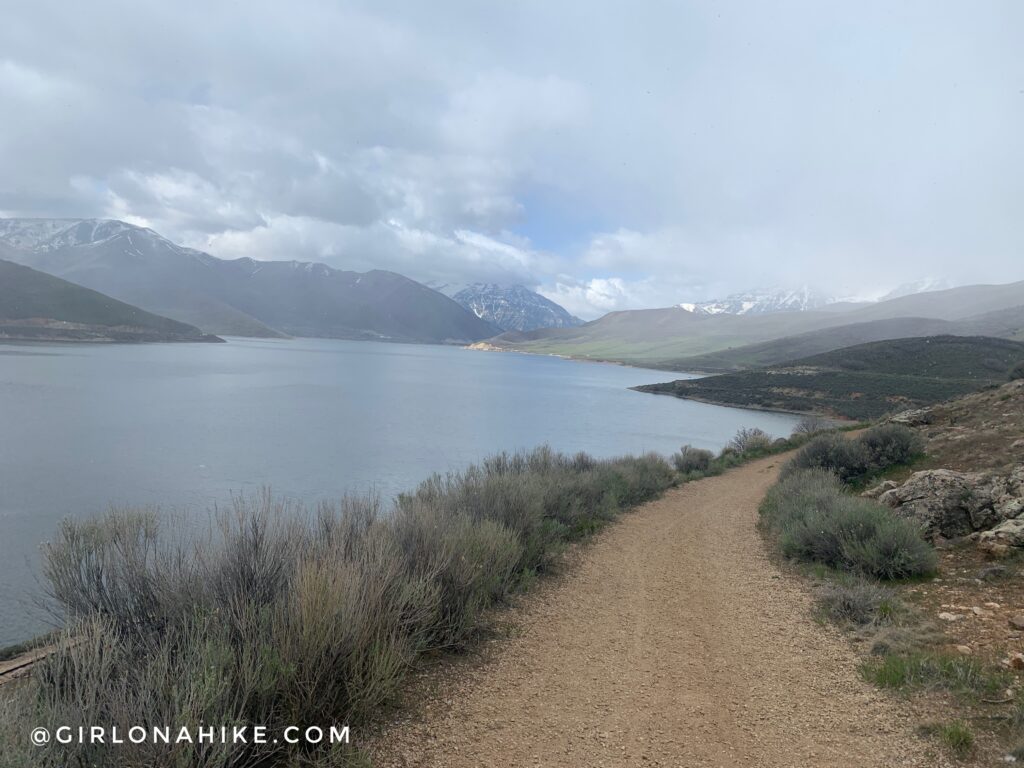
As you gradually make your way south along The Deer Creek Trail the views get better and better. This is looking directly West towards Provo Canyon.
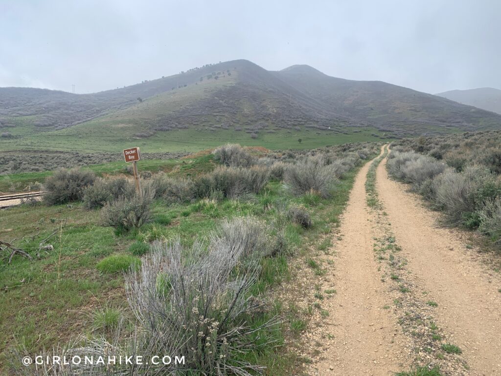 Passing by Decker Bay. The mountains were so green!
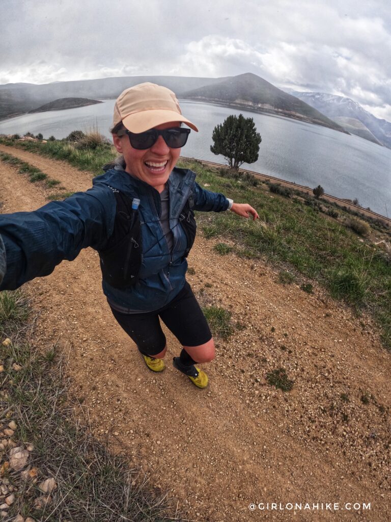
A few sprinkles here and there, but nothing bad! What a great, cool day to be out for a run.
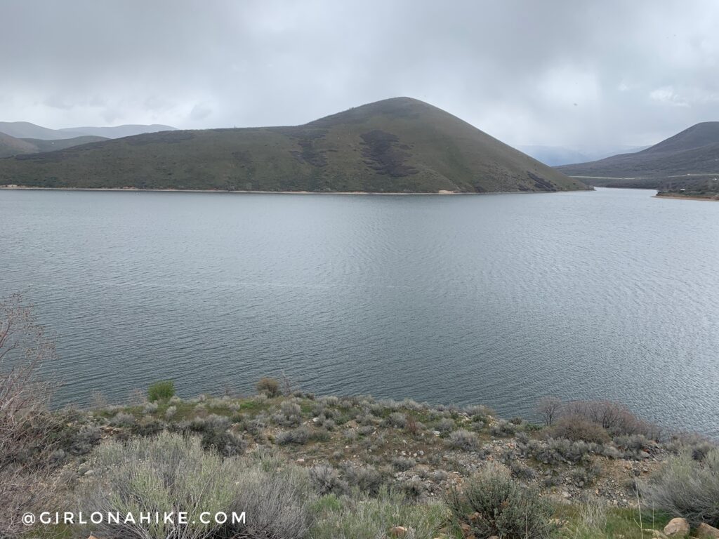
A perfect view of Chair Peak, another great short hike with a cool view.
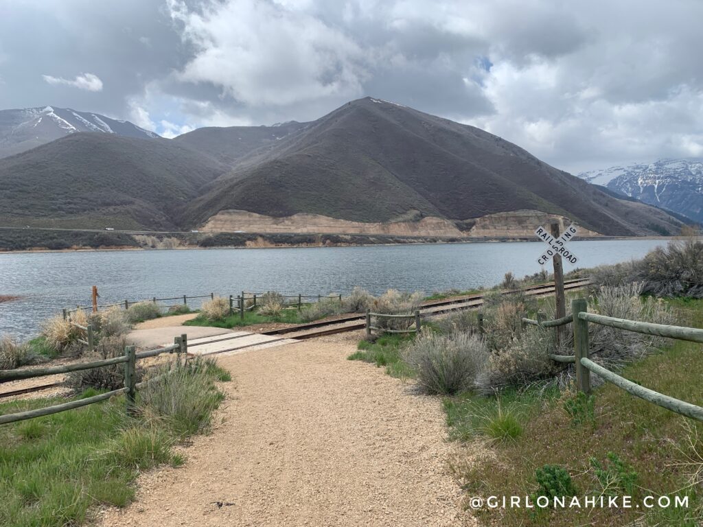
Eventually you will cross the railroad tracks.
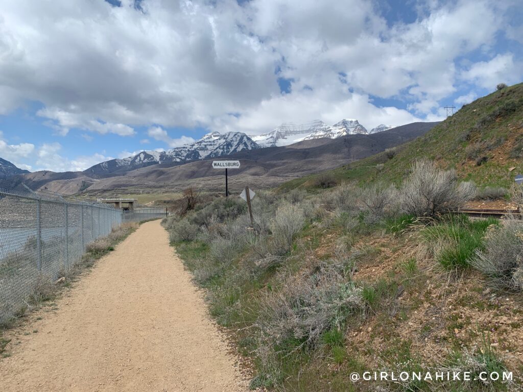
Now you are really close to the South/Dam TH when you see the fence and sign for Wallsburg. The best view of Mt.Timpanogos is there as well.
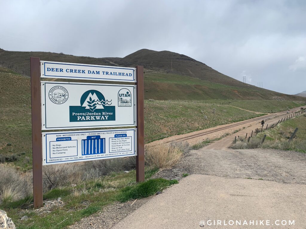
Whoohoo, made it to the South/Dam TH! There is a port-a-potty at this end. Time to turn around and do it all over again haha! Again, be advised that dogs are not allowed to enter from either trailhead.

My highly over-processed photo jump towards the end of my 15 mile day! I really enjoyed this route and would come back!
Trail Map
My track via Gaia GPS – the best tracking app! Get your app here for a discount.
Nearby Hike


Save me on Pinterest!
