
Neff’s Canyon Trail is a scenic and challenging hike in Salt Lake City, Utah, located just south of Millcreek Canyon near Mt. Olympus.
About
Starting in the White Hill Estates neighborhood, the Neffs Canyon trail climbs steeply up a forested ravine, gaining about 1,000 feet of elevation per mile. Most hikers stop at the peaceful meadow, but if you push on to the ridge, you’ll be rewarded with panoramic views overlooking Big Cottonwood Canyon. Whether you’re out for a quick leg-burner or a full-day adventure, this hike has options for all levels.
Water Features & Trail Conditions
The trail is accessible year round, and a creek flows through mid-summer. After that, the only fresh water source is just below the ridge flowing out of an old pipe into a tin bathtub. Depending on the year, the stream may flow down for about 1.5 miles or so, giving the dogs a quick spot to drink. In early spring, you’ll want to wear water shoes to cross all of the water.
Neff’s Canyon is dog-friendly and a popular hiking spot for after work. In addition, the trail is accessible year-round, and a creek flows through mid-summer. However, after that, the only fresh water source is just below the ridge, flowing out of an old pipe into a tin bathtub.
Directions to the Neffs Canyon Trailhead
Map from the North
Map from the South
The trailhead is accessed through a residential area — don’t be thrown off by the “Dead End” sign. It leads directly to the parking lot, which is open 6am–10pm. Note: there are no restrooms at the trailhead.
Trail Info
Distance: 3.5 miles RT (to the Wilderness sign, 8 miles RT to the ridge with 3,600 ft gain)
Elevation gain: 1,200 ft
Time: 1-2 hours
Dog friendly: Yes, off leash
Kid friendly: Yes, but only for the first mile
Fees/Permits: None
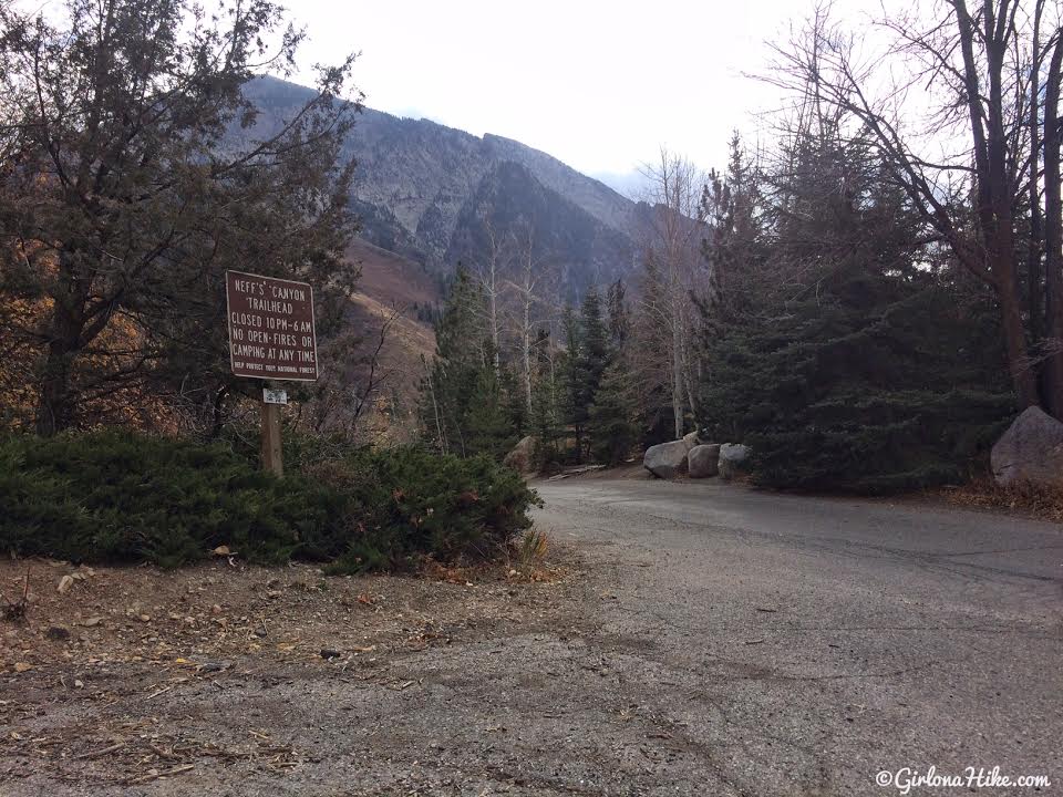
To get to the trailhead you’ll drive through a neighborhood. You’ll also see a sign for Dead End, but it actually leads to the TH parking lot. Its a large parking lot, but there are no restrooms. The parking lot is only open from 6am-10pm, so plan your hike accordingly.

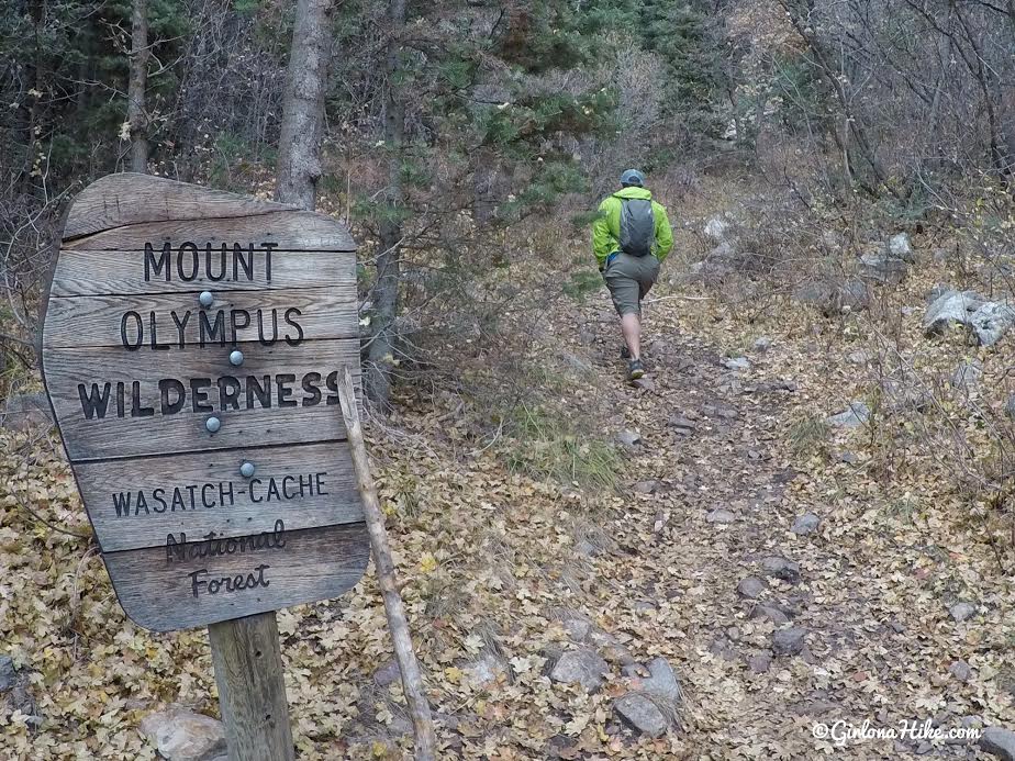
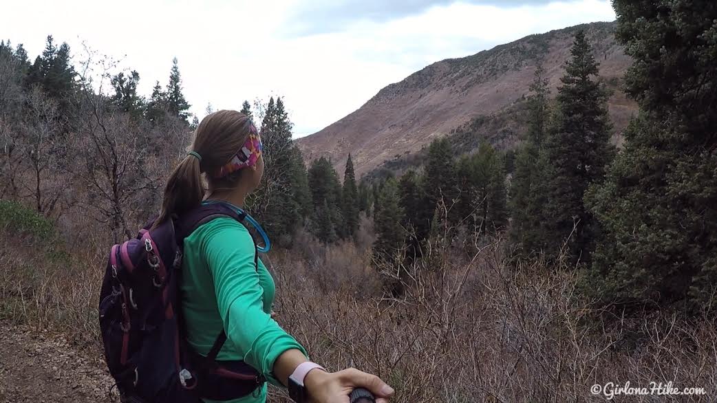
Start from the west side of the parking lot (not behind the official sign) for a more shaded, scenic route. As a result, this puts you on the west side of the parking lot, which is generally less crowded, offers more shade, and leads you to water. In early spring, you’ll pass under a lush tree canopy with blooming wildflowers. Multiple paths lead uphill — just keep heading south, and they’ll reconnect further up.

Lower Canyon Route
From the parking lot, you’ll see several trails – they all eventually link up. That said, my favorite is the westernmost trail.

Soon after, you’ll drop below the main trail to the east and find yourself surrounded by a canopy of trees. I love this hike in Sping when everything is in bloom!

There are many trails but they all lead South – take your pick.

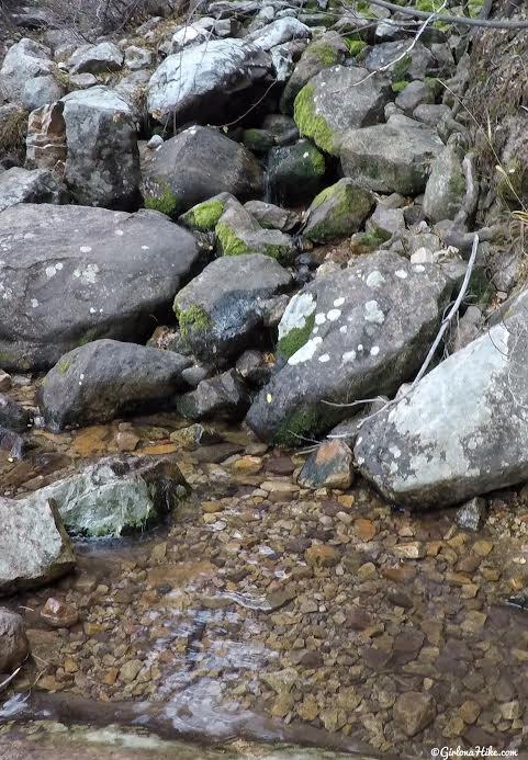
At the first stream crossing in Neffs Canyon, I was able to rock-hop and stay dry. Charlie opted to walk through of course! This creek eventually dries out in June (hence another good reason to hike this in Spring).

If you hike up far enough this way, you will see this cool spring and waterfall area. It’s a perfect wading pool for dogs and kids!

Next hike down the wide road until you reach the same creek you crossed before. See the road on the other side? That’s where the main trail meets up with this more scenic route. Turn right.

Now you will see arrows pointing in the right direction and you should now be hiking East.

Come to one more junction and turn left, with another arrow.

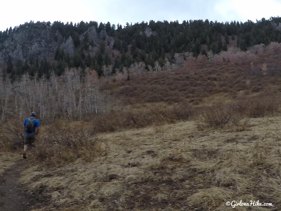
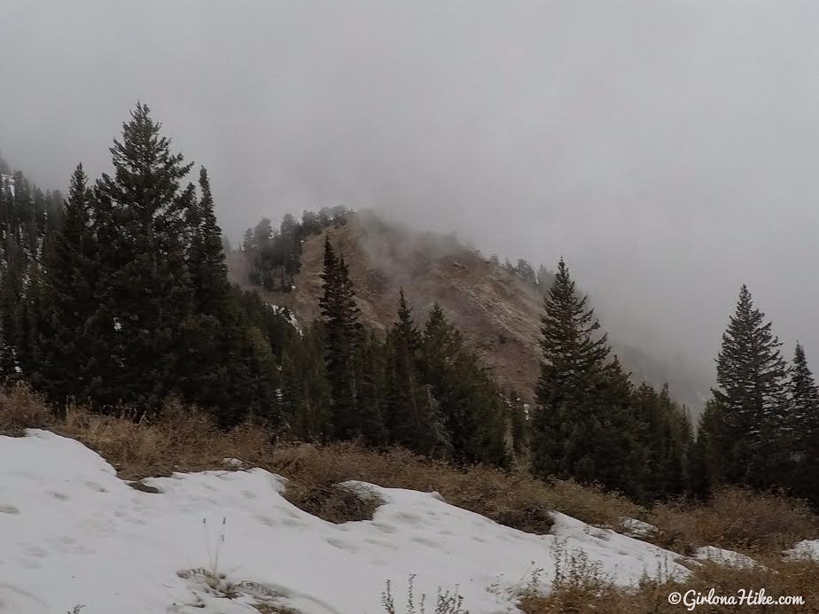
From this point, the trail becomes steeper and rockier, but it’s incredibly scenic.

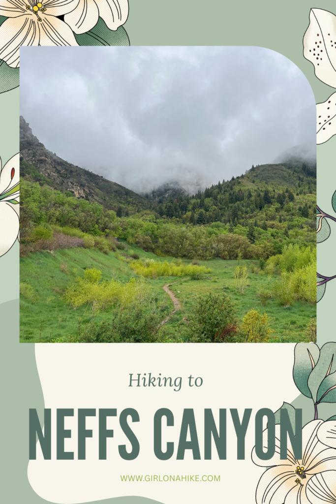
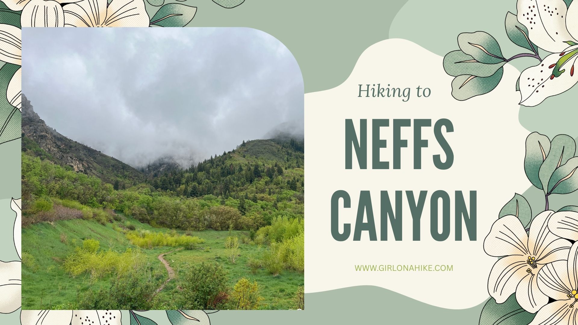
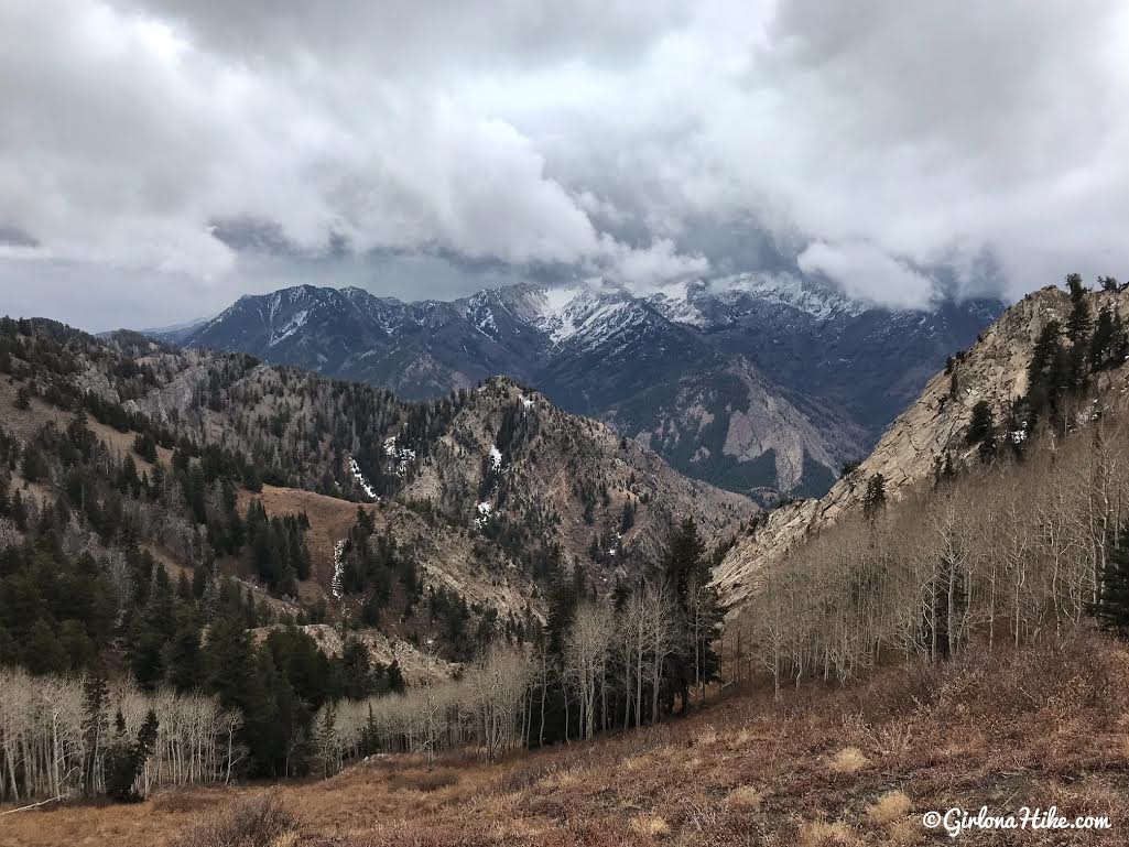
I didn’t have the best view today due to the rain and clouds but I love misty days like this! They don’t come by often in the Wastach.

Earlier in Spring this is another creek crossing but I missed the run off season and it was dry for me. You can see by the stacks of logs, people have laid those there to get across dry.
Approaching the Wilderness Sign

Most of the time, when I hike Neffs Canyon, I turn around at the Mt. Olympus Wilderness sign. A perfect short hike with my old man, Charlie (13 years old here).
Continuing to Neff’s Canyon Ridge
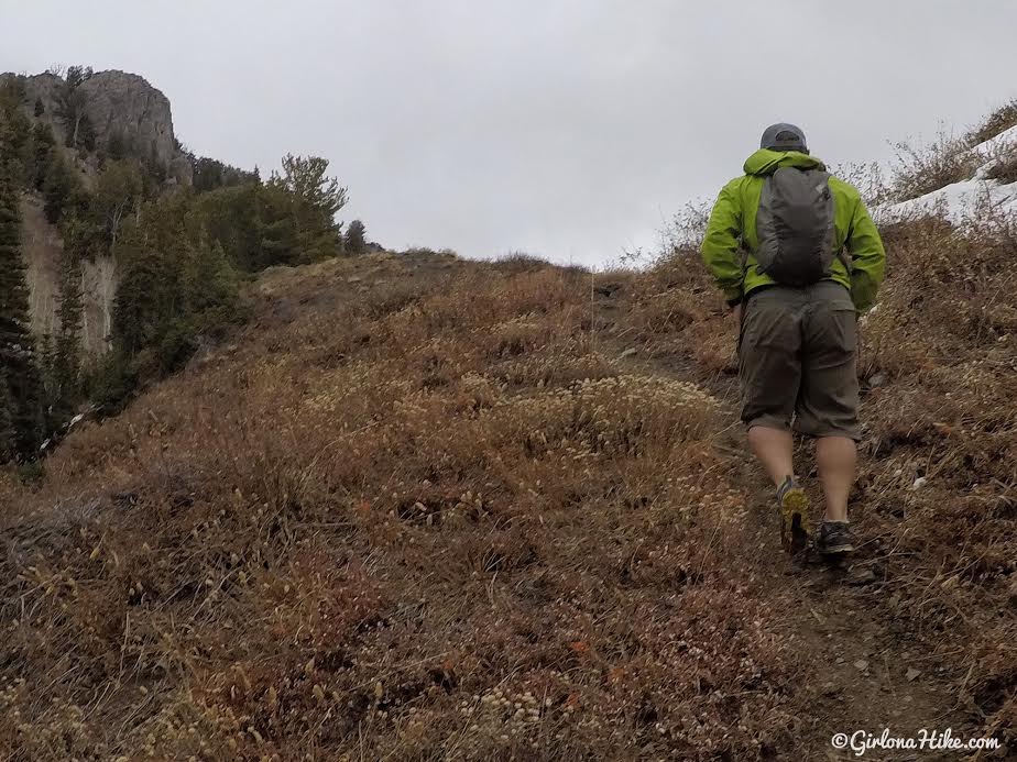
After the meadow, the trail gets tougher, climbing two steep sections. Along the way, you’ll pass through a beautiful Aspen grove and pass a year-round spring that flows into a bathtub-style water source — a great rest stop for dogs and backpackers.
Compression socks are helpful here, as the elevation gain is no joke! At about 2.5 miles, you’ll reach the open meadow with views of rocky peaks and colorful Fall foliage.
This is where the spring should still be flowing year-round. It flows from the bathtub higher in elevation (you’ll end up hiking by it) down here – makes for a great water stop with dogs.
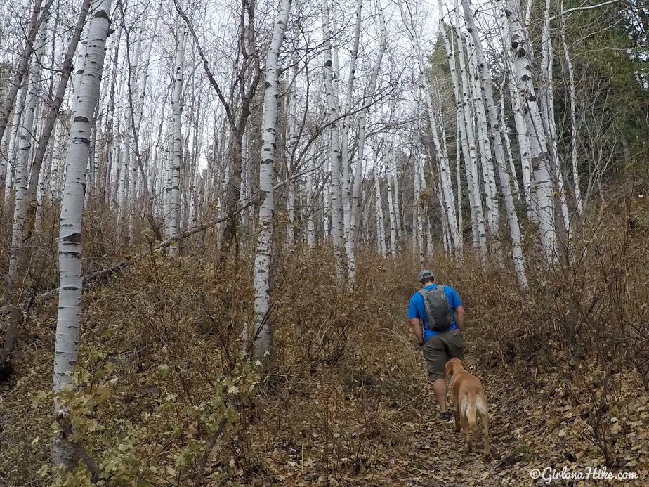
The trail hikes through a large Aspen grove. In Fall, this section is gorgeous!
Whew! Need to stop for a quick break. My calves were already feeling the steepness. Compression socks would have beens super helpful!
At roughly 2.5 miles you’ll reach the Neff’s Canyon Meadow. Keep an eye out for the trail turning right through here.
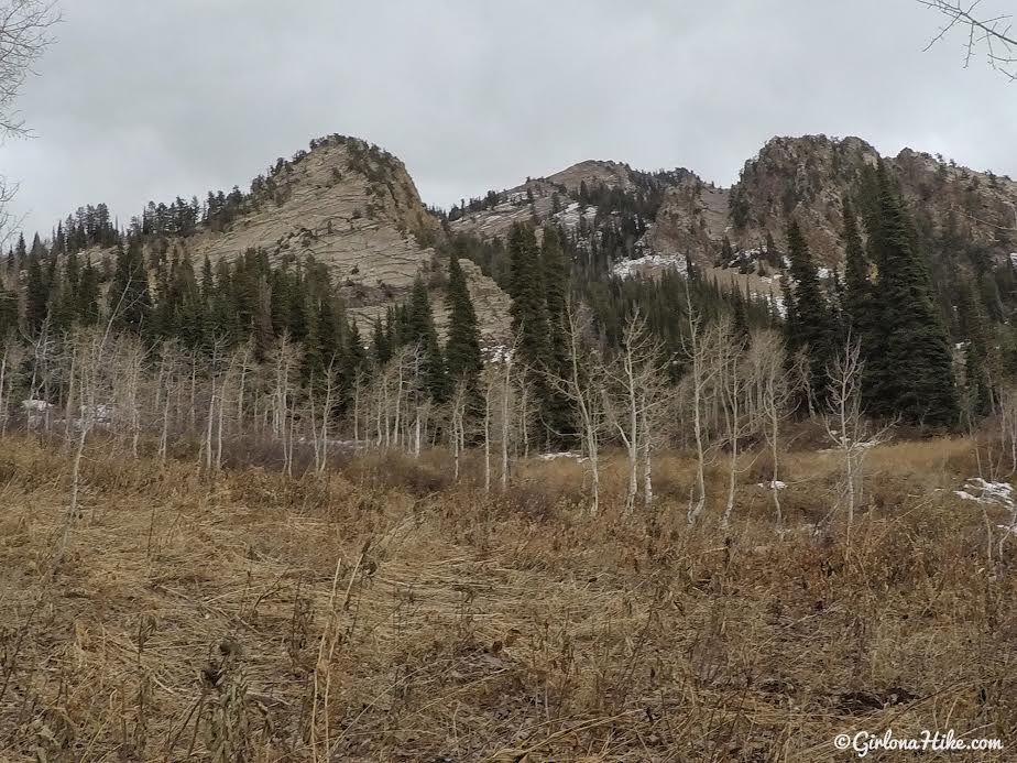
I really liked these large rock slabs that make up a few peaks. They don’t have names, just elevation as markers on the map.
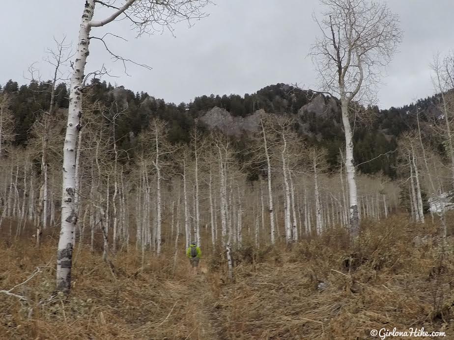
More Aspen groves. So sad to see everything dead and waiting for Winter to arrive.
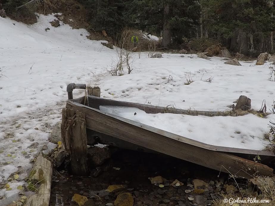
Here’s the upper spring that flows year-round – it flows out of an old pipe into this tin/wood bathtub. On the Gaia GPS app it will show as “Spr”. You can also see that we were now in snow from the storm SLC got back in October. Wished I had brought my microspikes! They’re in my pack for winter now after doing this hike. From here, you should only be about 15 minutes from the ridge.
Final Push to the Ridge
Looking back, the clouds were starting to sock in on us and it started to flurry very lightly.
Approaching the ridge!
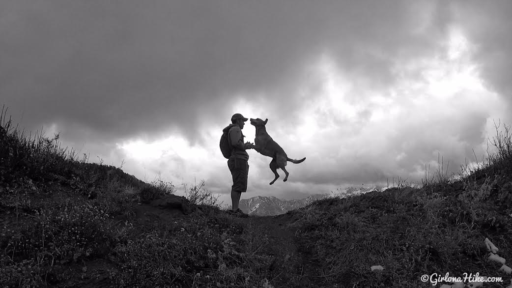
Charlie was super excited!
🌄 Worth the Effort!
Reaching the ridge took us about 2.5 hours, but the breathtaking views of Salt Lake Valley and the peaceful mountain air made every step worth it. You can continue east toward Thanye’s Peak, or west to Mt. Olympus and Wildcat Ridge. I’ll definitely be back next summer when everything’s lush and green!
Trail Map
⛰️ How I track my hikes: Gaia GPS! Get 10% off a new subscription for Gaia GPS Premium or Outside + Sign up now!
Nearby Hike


Save me on Pinterest!