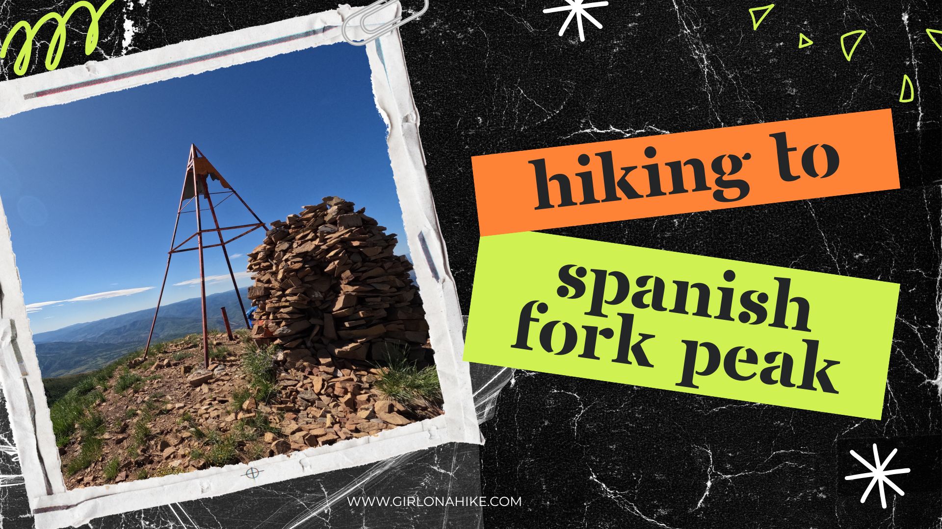

🏔️ Hiking Spanish Fork Peak: A Challenging Yet Rewarding Adventure in Utah
Spanish Fork Peak (elevation 10,192 ft) rises impressively as you drive along Highway 6 towards Price, Utah. Nestled between two prominent summits—Provo Peak to the north and Santaquin Peak to the south—this stunning mountain stands alone and commands attention.
About Spanish Fork Peak
🏞️ Why Hike Spanish Fork Peak?
If you’re looking for a challenging, lesser-known peak with incredible rewards, Spanish Fork Peak should be on your Utah hiking list. From alpine meadows and lake views to snowfields and solitude, this trail offers an unforgettable experience for any seasoned hiker.
🧭 Tips for Hiking Spanish Fork Peak
Start early to beat the heat and avoid afternoon thunderstorms
Bring plenty of water or a filter (stream crossings are a good source)
Trekking poles can help on the steep descent
Wear layers—weather can change rapidly at elevation
Let your feet breathe at the summit to help prevent blisters
Directions
From I-15 heading south from SLC, take exit 260 for W 400 S in Springville, UT then head East. Turn right on Main St., then turn left W 800 N. Turn right onto N 300 W, then left onto E 400 N. Follow this all the way into Maple Canyon, until you pass Whitings Campground,. Drive to the very end of the road where the trail begins.
Trail Info
Distance: 10 miles RT
Elevation gain: 4,600 ft
Time: 6-8 hours
Dog friendly? Yes, off leash
Kid friendly? No
🌲 Trail Description: What to Expect

Drive through the campground to the very end of the road to the trailhead parking lot, with a vault toilet.
There are no fees or permits required to hike here. At 6am, only one other car was parked here. The trail starts at the most Eastern end of the parking lot.

Begin your hike by walking past the gate at the east end of the parking lot. After about 1/3 of a mile, cross a wooden bridge over the creek.

The first mile follows a well-defined, though rocky, dirt road.

Around the 1-mile mark, the dirt road ends and transitions to a narrow singletrack trail.

You’ll follow Trail 007 all the way to the summit.
🌿 Scenic Highlights Along the Trail

There are several open meadows with beautiful aspen groves.

Second stream crossing. This is a great spot for the dogs to drink or filter water.

The second Trail Marker 007.

Once again the trail opens you will start have views of the surrounding area.

Creek crossing #3 – another great spot to take a quick break.
⚠️ Avalanche Damage & Snowfields

Further up, you’ll notice broken and fallen aspens—evidence of past avalanche activity. Be cautious if hiking in early summer, as snowfields may still cover sections of the trail, especially near the final saddle.
🏕️ Maple Canyon Lake & Summit Views

After a long climb, you’ll reach the beautiful Maple Canyon Lake—a perfect spot for a rest or even an overnight backpacking campsite. From here, the summit is visible and reachable via a final push to the saddle and up a steep, rocky hill.

Looking back down to Maple Canyon Lake. You can barely make out the tiny tent to the left of the lake.

The route ahead comes into view—your goal is the saddle visible to the right.

But first you must cross the snow field – my favorite! You can faintly see where the trail is across the way, just below the saddle. Aim for where the trail begins.

Snow fields are fun!

⛷️ Pro Tip: Do not follow the trail that wraps beneath the summit in early season—it may lead across dangerously steep snow patches. Instead, stay high on the ridge to the left.

At the false peak, looking at the destination for the day – Spanisk Fork Peak! One more big hill to climb.

On the summit! It took me exactly around 3.5 hours to summit, and would take me 2 hours to get back to the car with light trail running.

Time to take the shoes off to let my feet dry to prevent blisters, and take in the view.

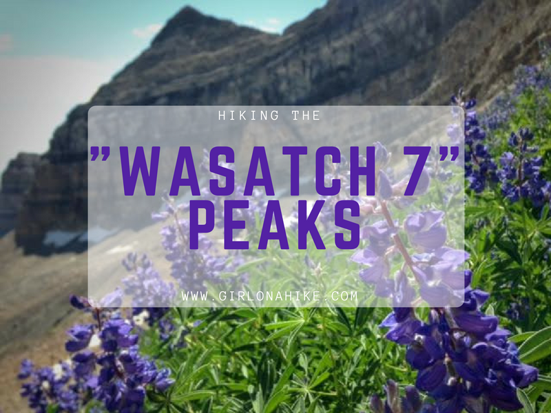
What a great day! It was so clear I could even see Santaquin Peak and Mt.Nebo, two other Wasatch 7 Peaks!
Watch My Video!
Trail Map
My track via Gaia GPS – the best tracking app! Get your app here for a discount.
Nearby Hike

Save me on Pinterest!