
Directions
From I-70 heading West, take exit 149 towards Hanksville, UT. Drive South on HWY 24 for 18.6 miles, and you’ll see a gate on the right side of the road in between mile marker 142 & 141. Go through the gate (make sure to close it), and drive 1 mile, where you’ll reach a split in the road with a large brown sign. Keep going straight here for another 2.25 miles. The last 1/4 mile is very sandy. As long as you have an SUV or larger, you can easily make this drive. Do not attempt to take a small car, as you will not make it over some of the bigger rocks in the road, nor through the sand. Total mileage from the highway turn off is 3.2 miles.
Here’s a driving map.

Trail Info
Distance: 6 miles RT
Elevation gain: 900 ft
Time: 3-4 hours
Dog friendly? Yes, off leash
Kid friendly? No
Fees/Permits? None
GPS location of Hurst Bridge: 38.73605, -110.57104

As you continue driving you’ll see this Dead End sign. Just after this is where the road turns very sandy and you’ll be in a dry wash. It would not be wise to drive through this after a recent rain.
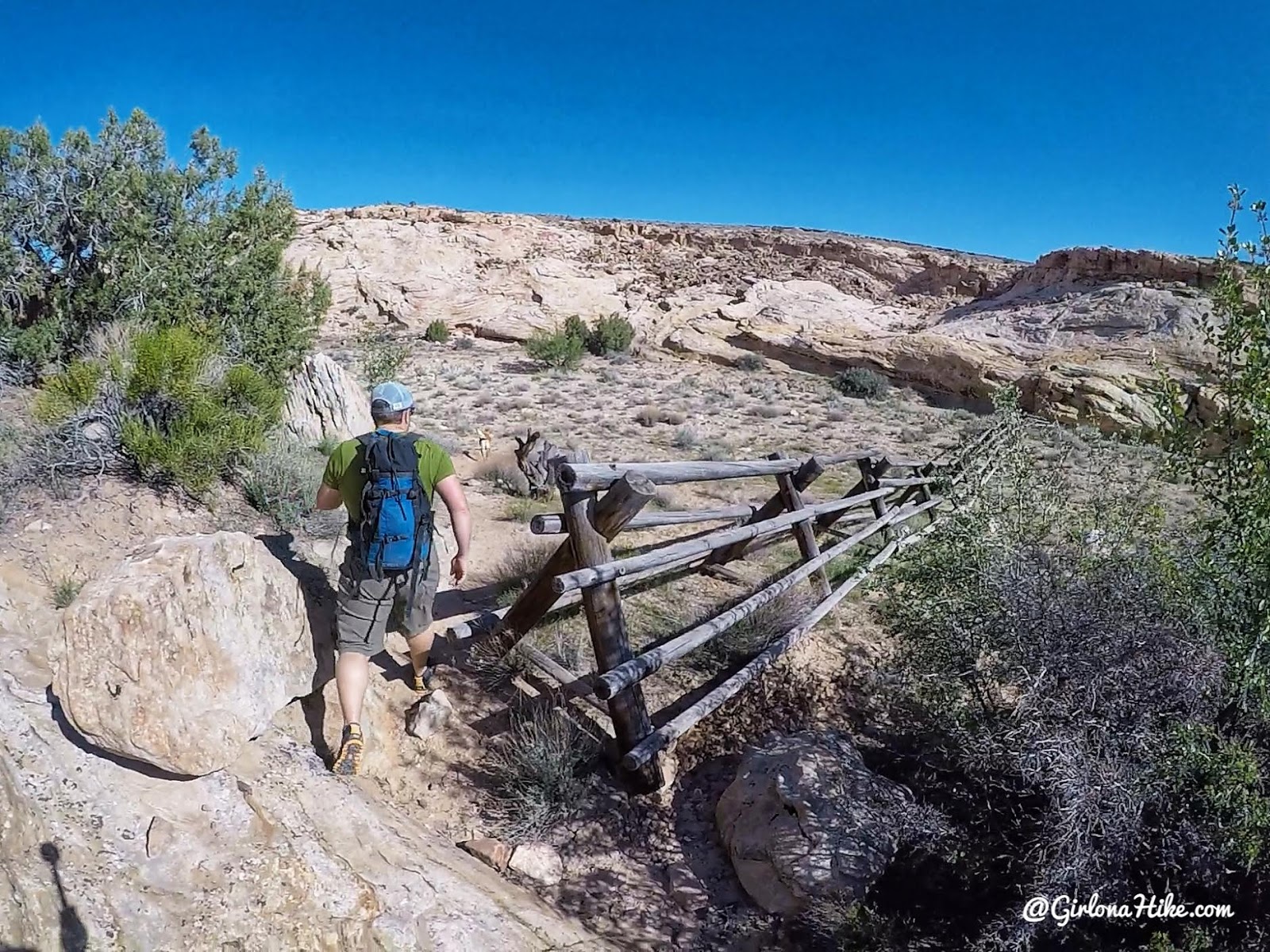
Park at the dead end, and start by hiking behind the brown sign. Stay to the left of the wooden fence to get around it.
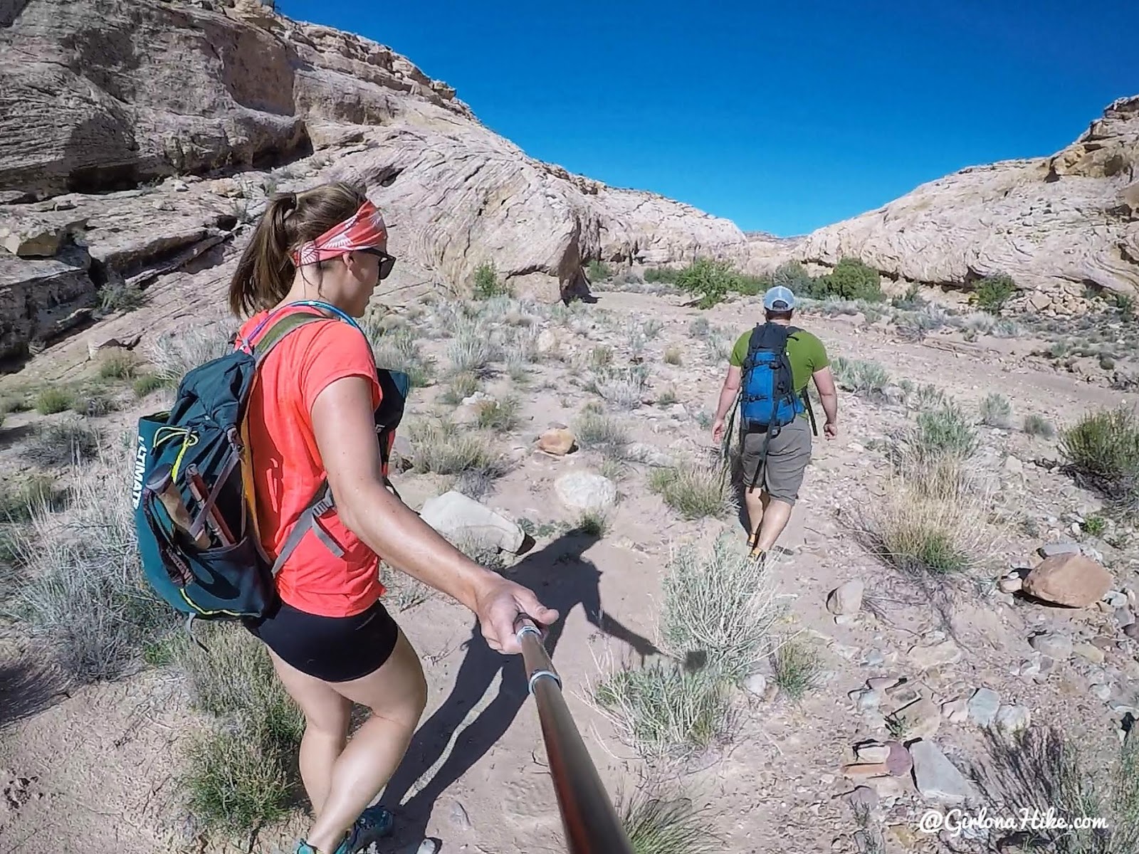
Hike in the dry wash for 1 mile.
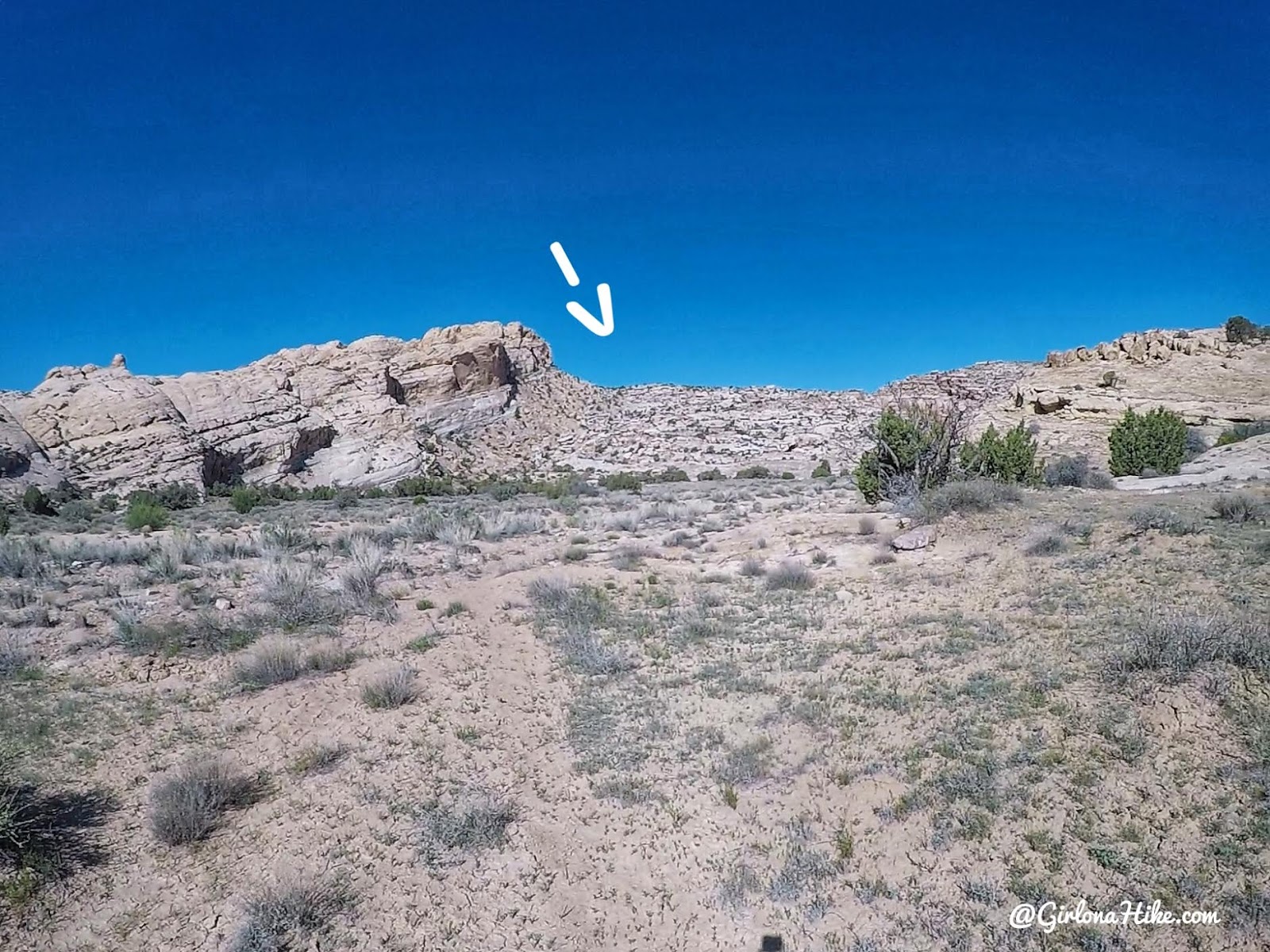
Ernie Canyon begins to open up, and you’ll see where you need to hike – the small saddle at the top of that ridge, just to the right of the cliff.
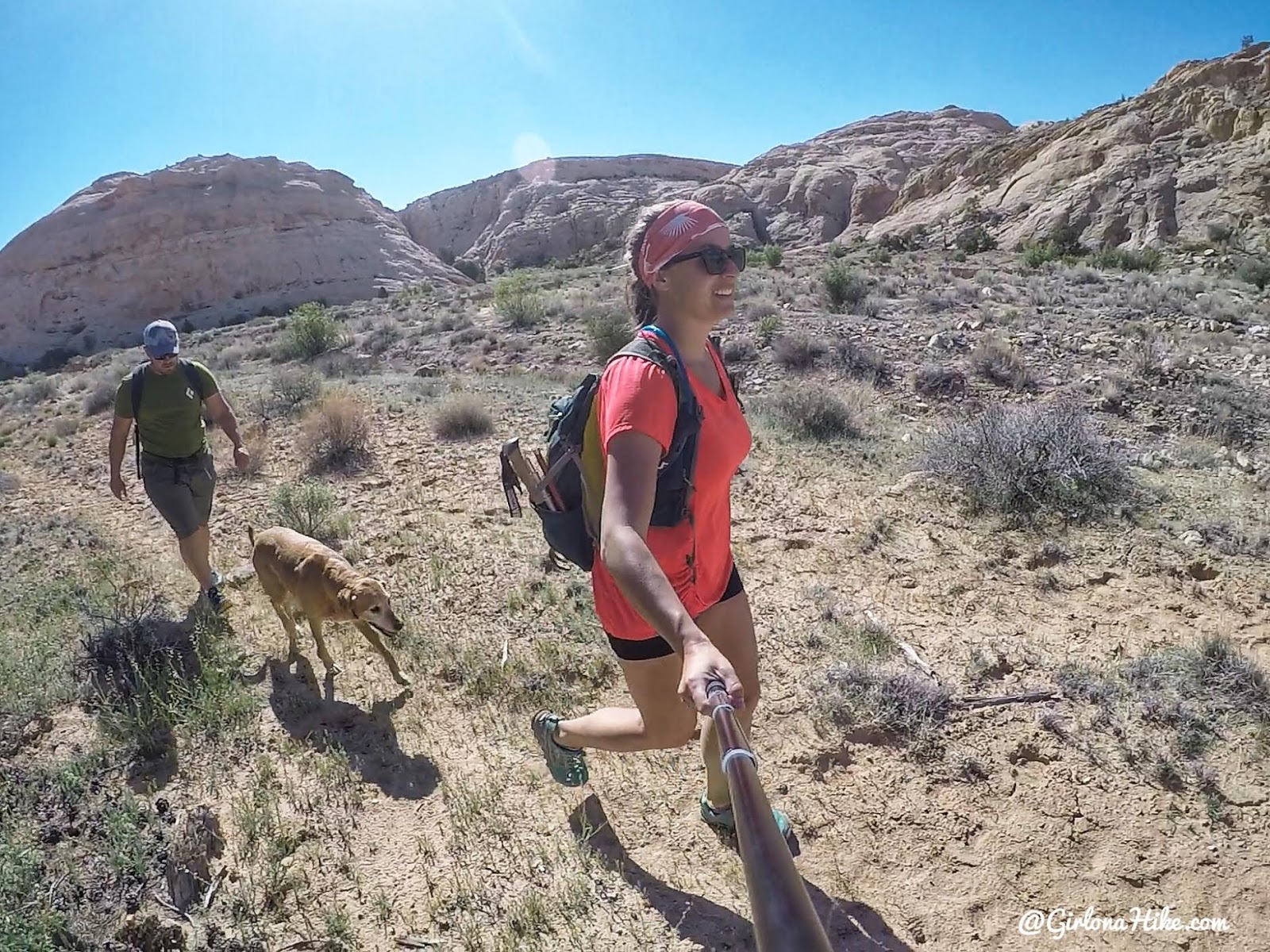
A trail fades in and out as you cross a grassy field just below the slick rock.
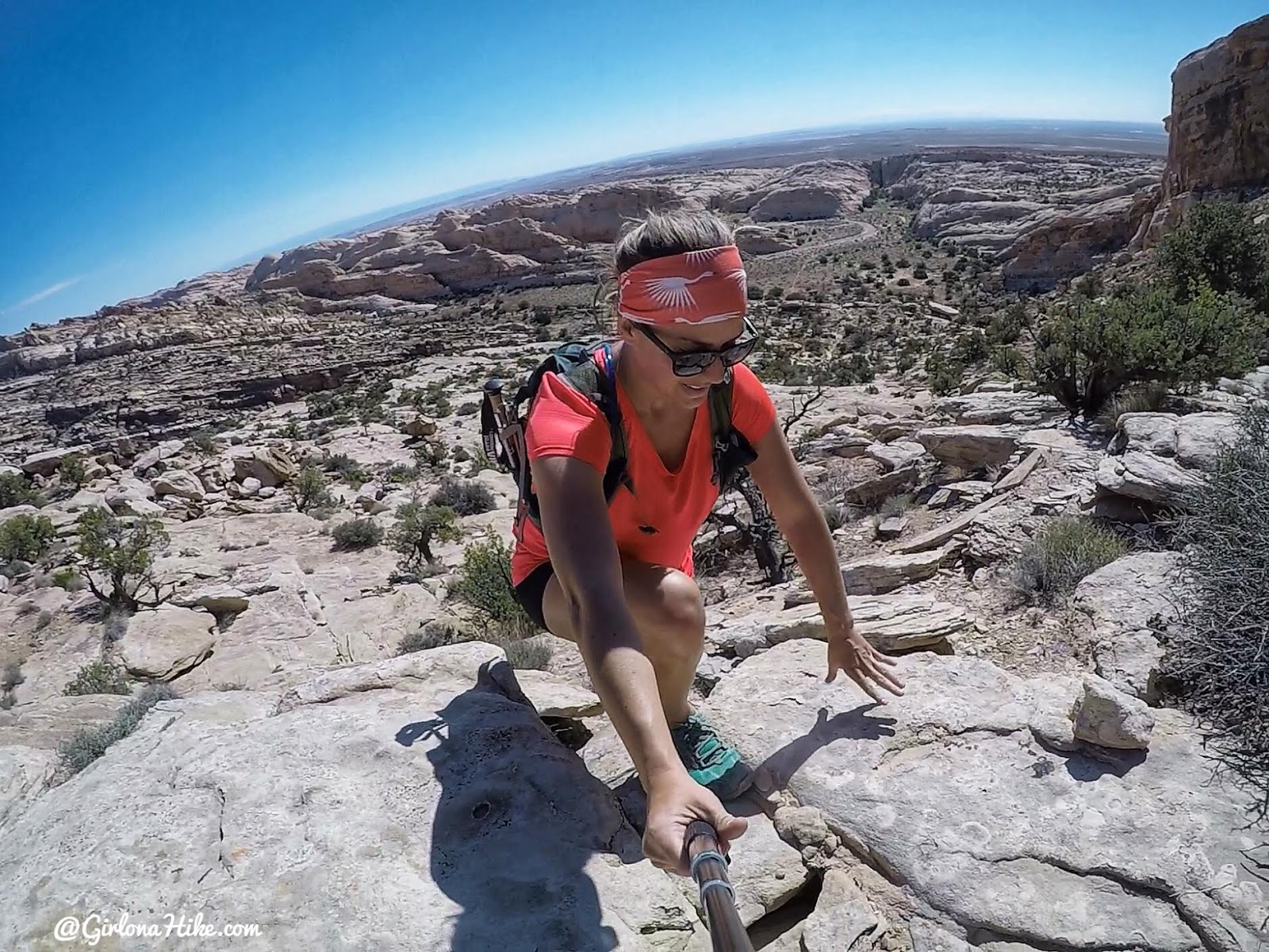
The trail was now gone, and we had some climbing to do to reach the small saddle. You can see how high we already were above Ernie Canyon.
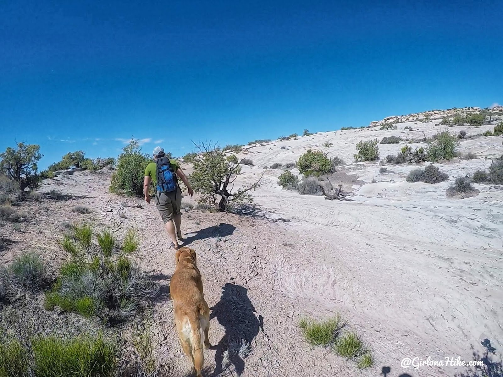
After you reach the saddle, hike in a Westerly direction paying attention to your GPS. There’s no right way, but you’ll want to hike in the correct direction.
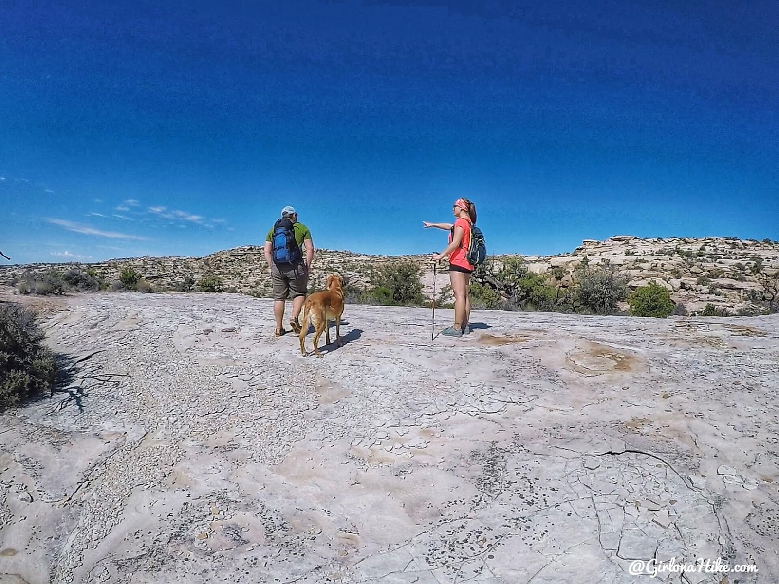
After following what we thought was a trail, it was leading us too far South. We stopped to discuss where to go.
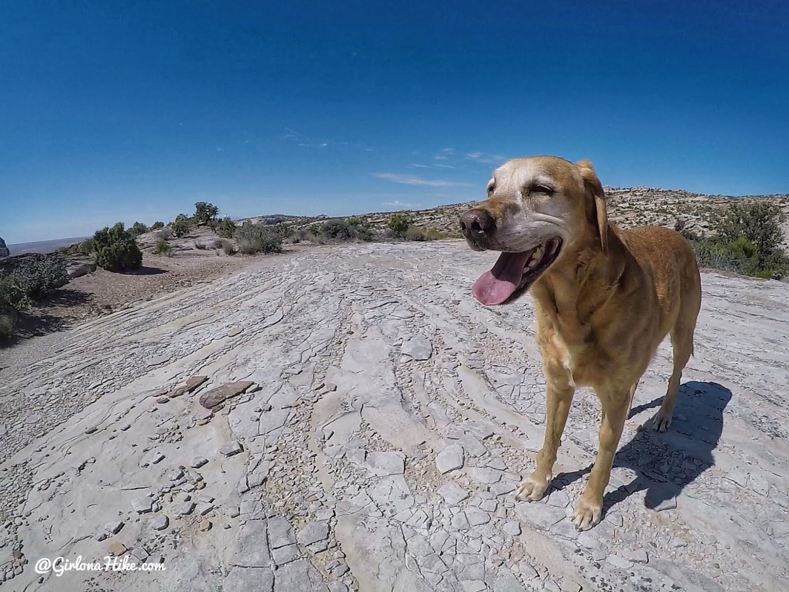
Charlie was starting to struggle with the heat so we kept moving. He drank about 1.5 liters on this hike, though I should have probably given him closer to 2 liters.

When you start to get close to Hurst Bridge, you’ll hike across this large open and flat red slick rock area. It’s about the size of half a football field, and you’ll want to aim for the small canyon straight ahead with those trees.
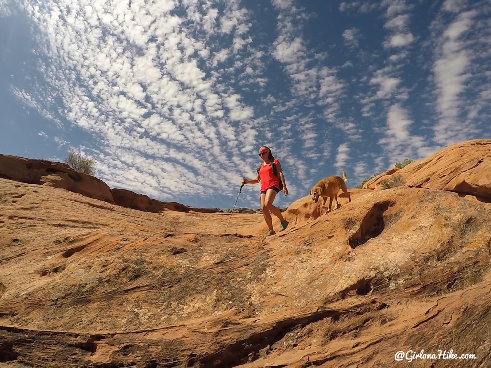
Hike down to the small wash.
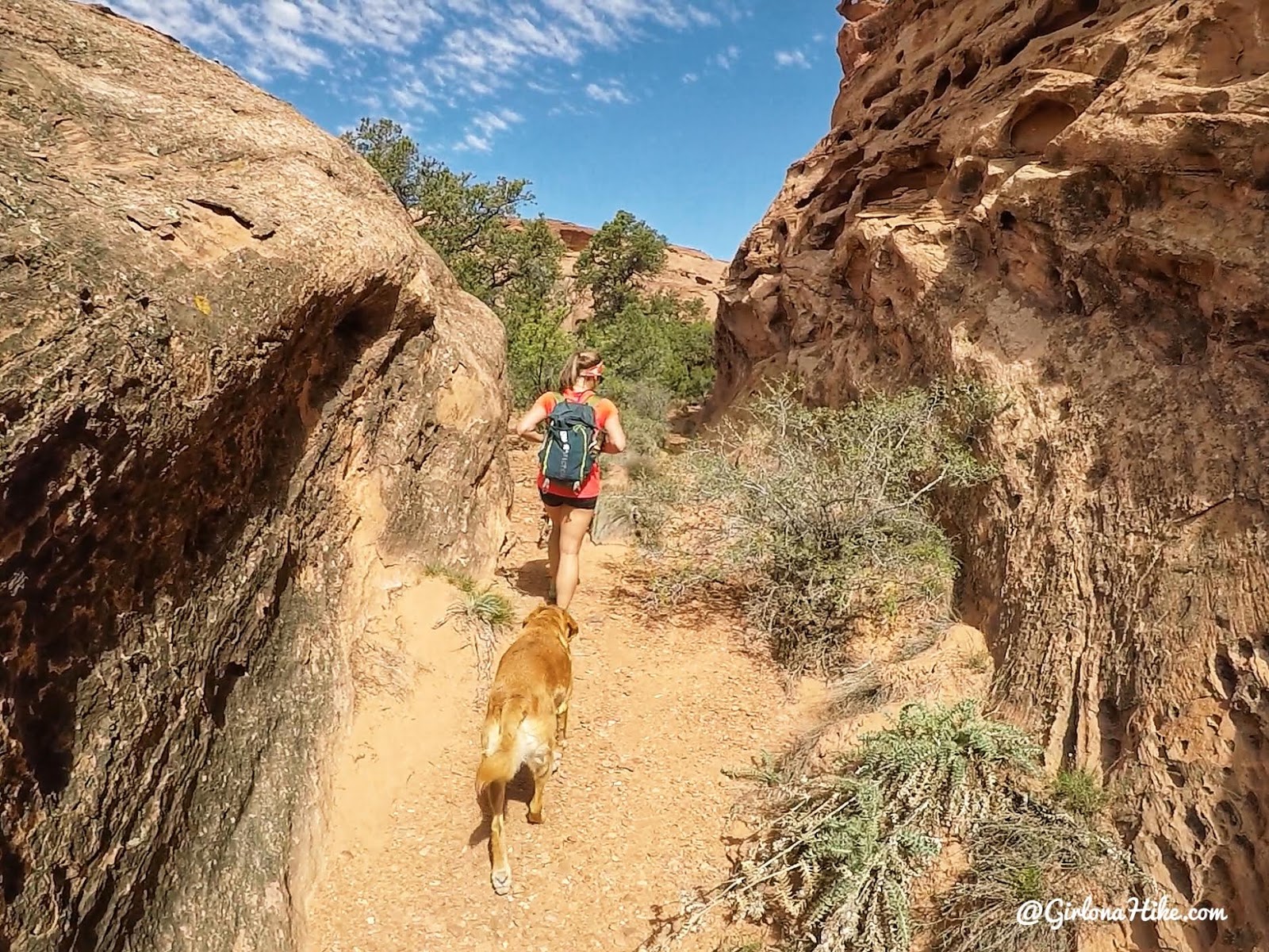
Then follow it in a NE direction.
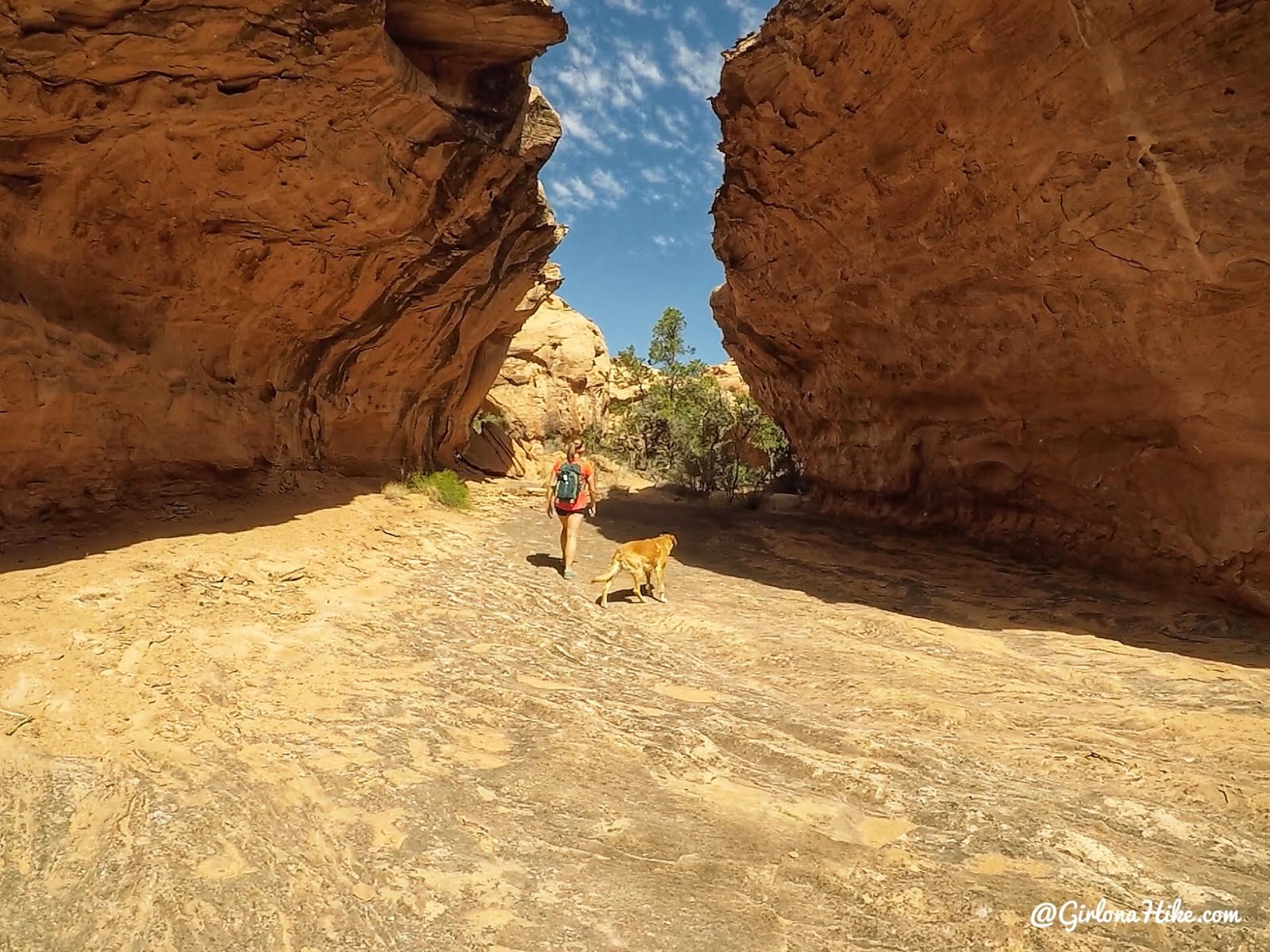
Walk under this cool “subway” rock.
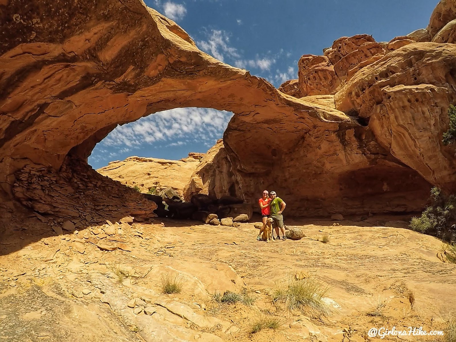
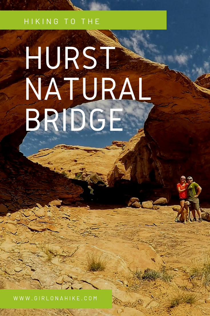
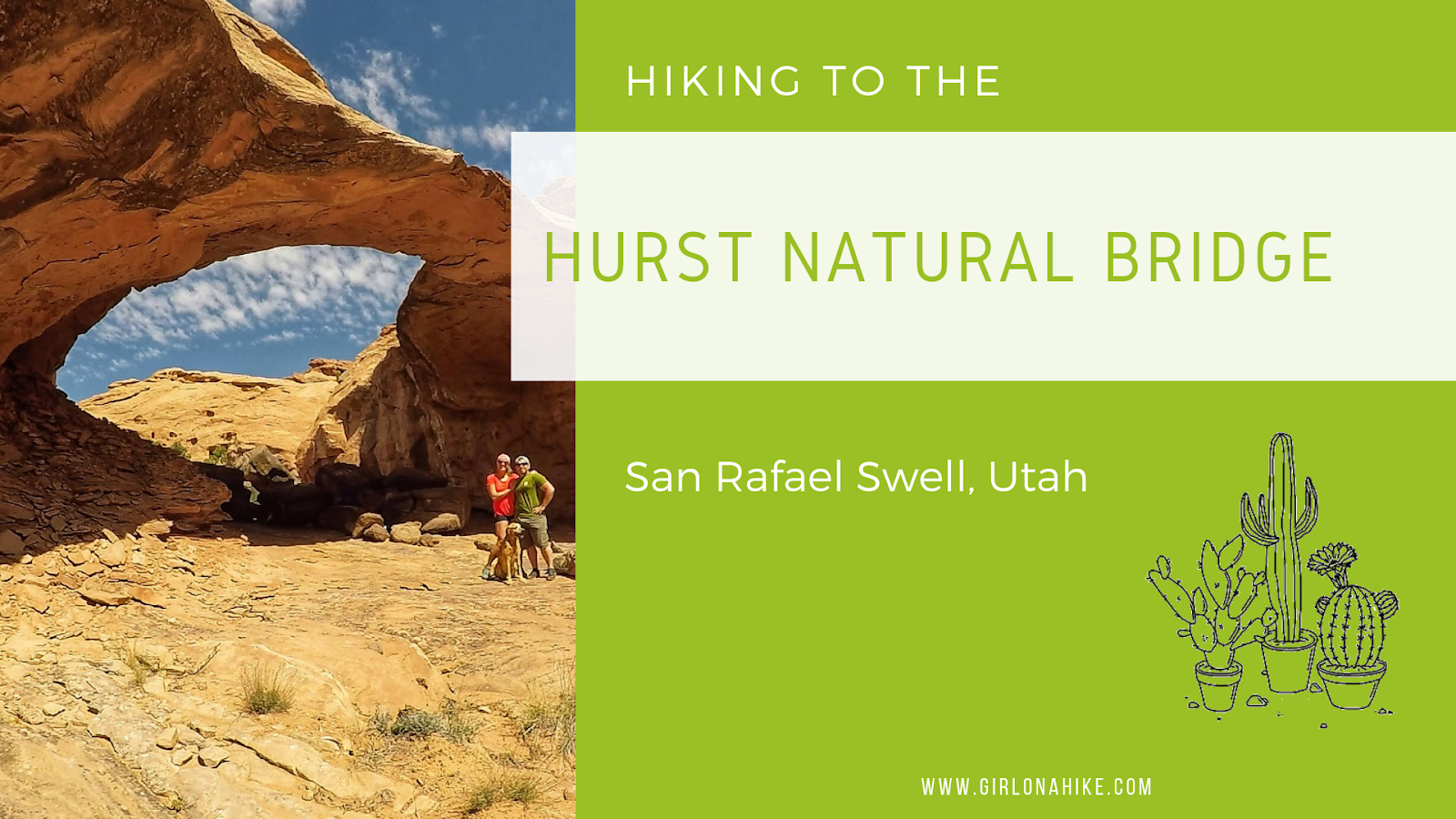
And just around the corner will be Hurst Natural Bridge! Based on the photos I was expecting it to be much larger – I would say its about 30 ft tall and has a 55 ft span.
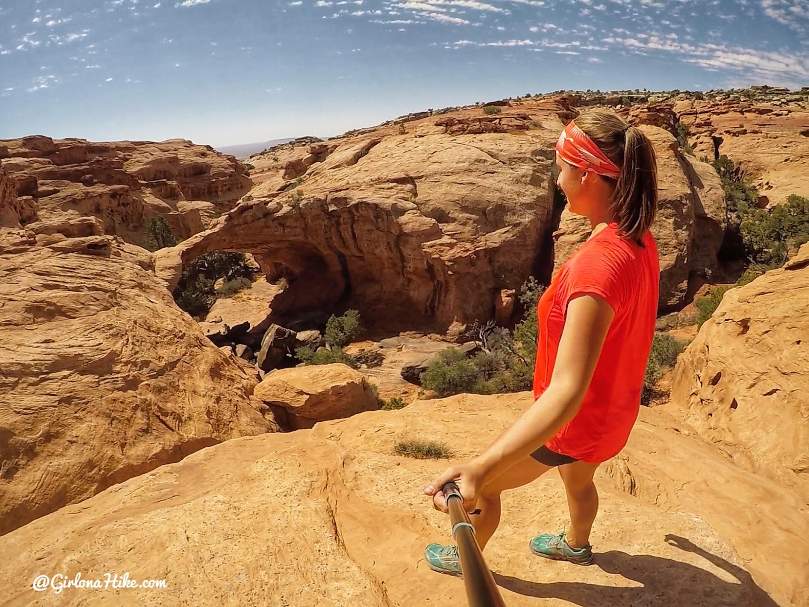
I climbed up some rocks to get above the arch – I was hoping to be right on top but wasn’t sure I could get back down on my own. So I took a few photos from this angle, which was still a great view.
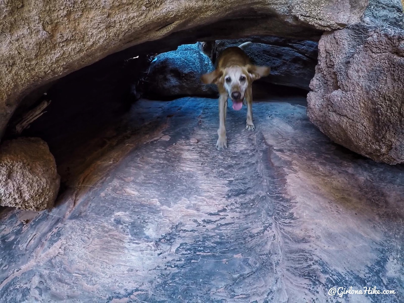
Under the bridge, Charlie finds shade under the boulders.
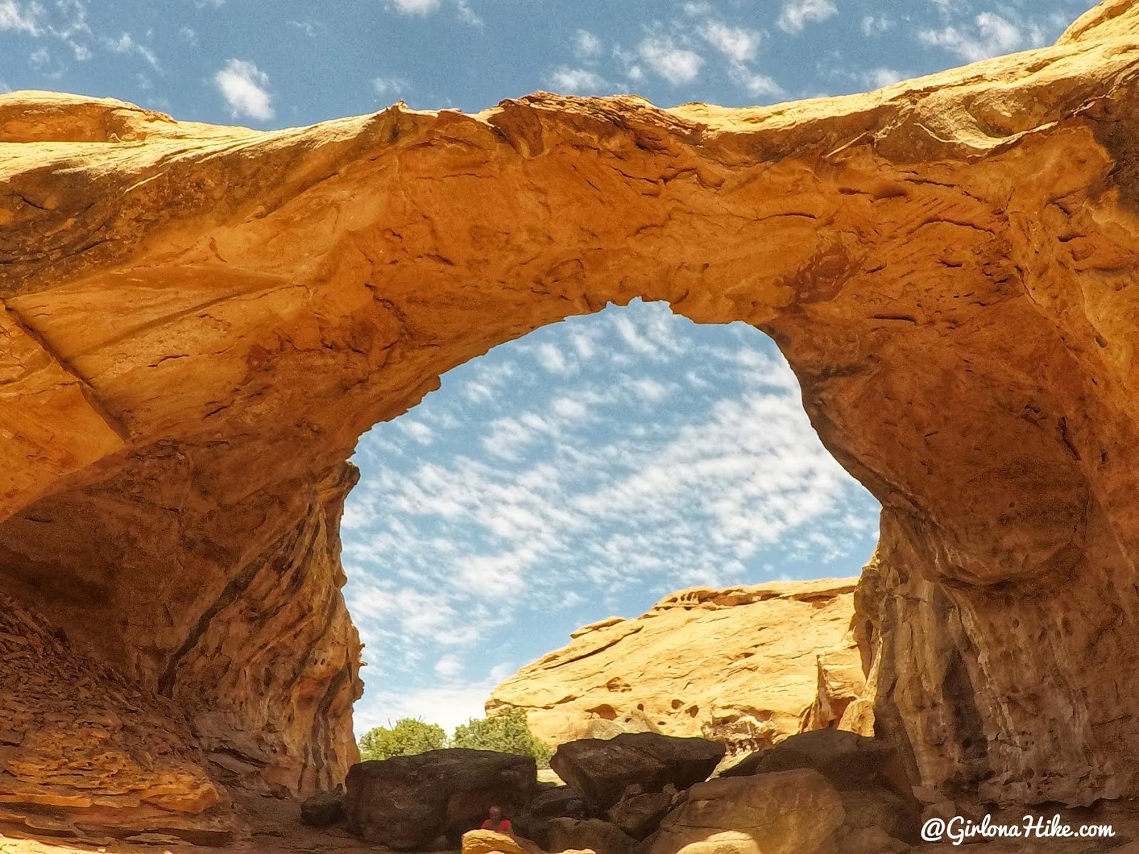
One more look before we hiked out! I thought morning was the perfect time to hike here because the sun illuminated the area around the arch making it glow. We started hiking around 10 am, and reached it in 1.5 hours.
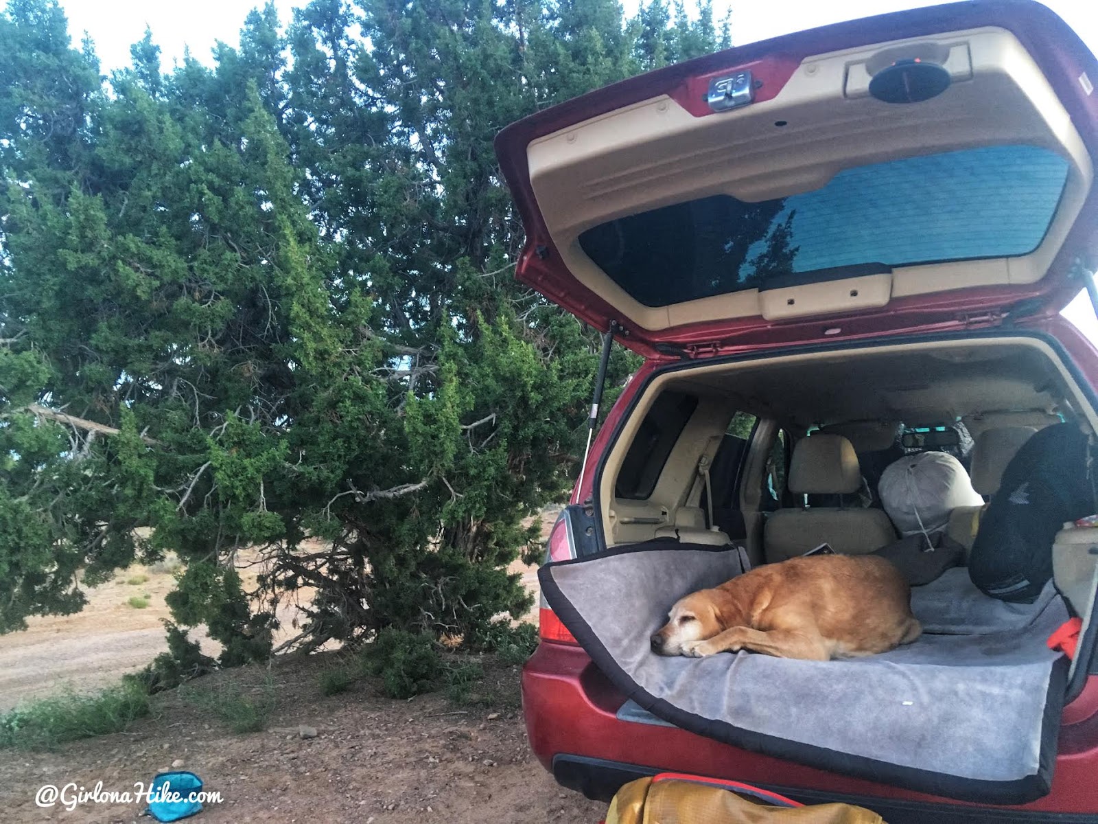
Back at our camp, Charlie was over the heat and hiking and fell right asleep. I wished we would have hiking much earlier than when we didn’t, but we didn’t know the heat would affect him so much. Being 7 years old is ruff!
We opted not to use our tent because of the wind so we set up the crash pad in my car and slept in there. It worked out perfect! Check out my new Car Camping Set up here.
Check out my YouTube video!
Trail Map
The red line is the dirt road. The blue and purple lines are my hikes in and out, so you can see how much of a different route we took each time. Just want to emphasize that there is no trail, so this is why my tracks are so different.
Get your app here for a discount.
Nearby Hike

Save me on Pinterest!
