
The Wind Caves Trail is located in Logan Canyon about 1.5 hours northeast of SLC. Our plan was to make a day trip of it, and hike this trail and one across the road called The Crimson Trail, which gets you above the China Wall.
About
The Wind Caves are a formation of three arches in the weathered limestone bedrock. Surprisingly, when we were in the caves it wasn’t windy, despite it’s name. This is a perfect hike for kids and dogs, since the trail is pretty moderate and never too steep. Although there are several switchbacks, the view of Logan Canyon is a great distraction from the workout you’ll get. As you climb higher, you also get fantastic views of the China Wall across the canyon, which you can access via the Crimson Trail. Bring plenty of water for you & the dogs since there is little shade.
Directions
Head north on I-15. Take exit 362 towards Logan, UT which is HWY 80. This will turn into Main Street in Logan. Turn right on W 400 N (HWY 80 again). Drive 7.4 miles and look for the Wind Caves TH on the left side of the road. The parking lot will fit about 20 cars, and if that is full you can park along the road. There are no restrooms at the TH.
Trail Info
Distance: 3.6 miles RT
Elevation Gain: 1,100 ft
Dog friendly? Yes, off leash
Kid friendly? Yes
Fees? None
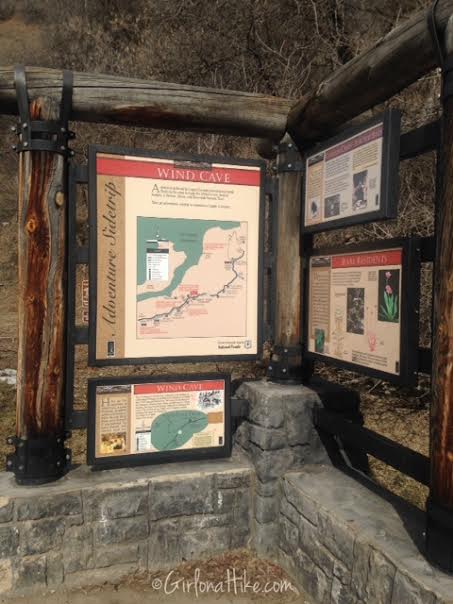
The start of the trail offers an explanation of how the caves were formed, and also gives a little map.
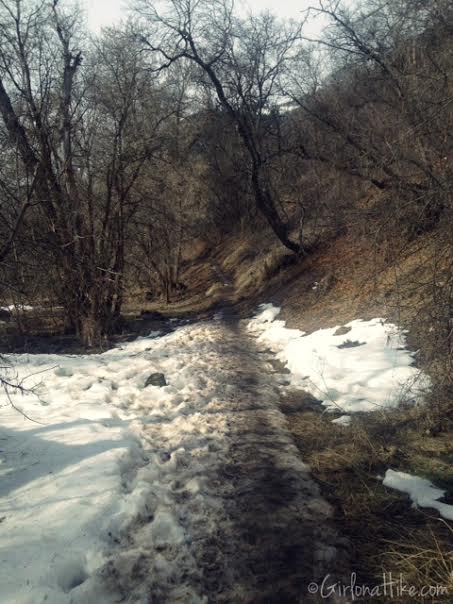
The trail the day we hiked it was half snow, half mud. It’s probably better to wait until late March to hike this trail so it dries out. It was still doable, just messy. We never needed to use microspikes.
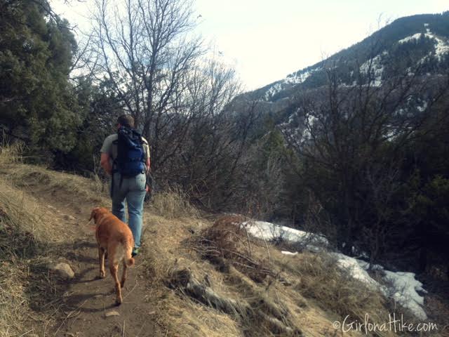
Ian & Charlie making their way up the switchbacks.
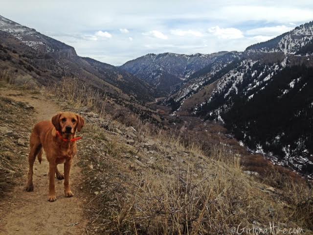
Beautiful view of Logan Canyon looking East.
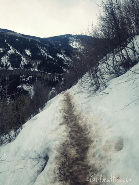
As we got higher there was more snow. Although it was packed down, it was still messy due to all the mud mixed in.
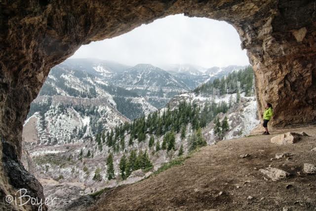
Before we knew it we were in the Wind Caves! Just about the time we got there it started raining and got cold quickly. We were glad to have the shelter of these caves.
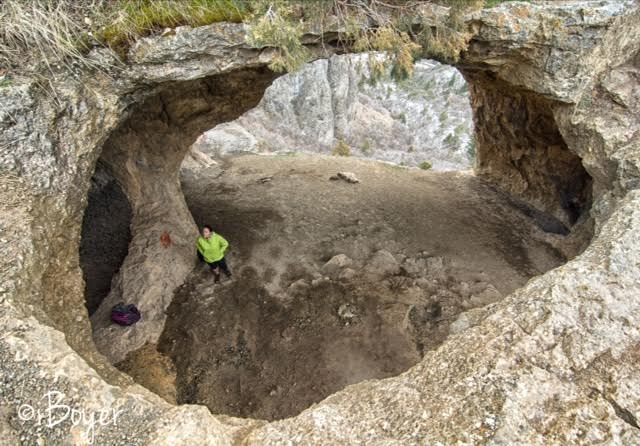
Looking down into the caves.
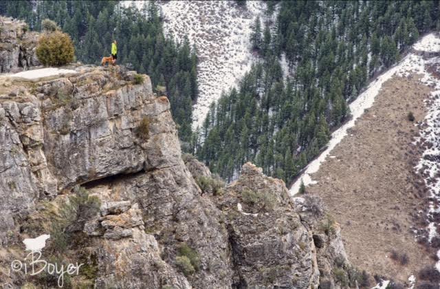
Exploring the area around the caves is fun! I like walking out to ledges to get really good views. Be careful of the sheer cliffs.
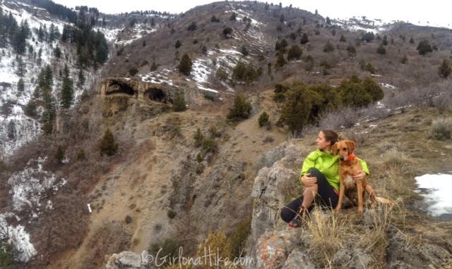
Looking back at the caves after the rainstorm passed.
Same trail, Fall 2017 (early October)


Trail Map
My track via Gaia GPS – the best tracking app! Get your app here for a discount.

Save me on Pinterest!
