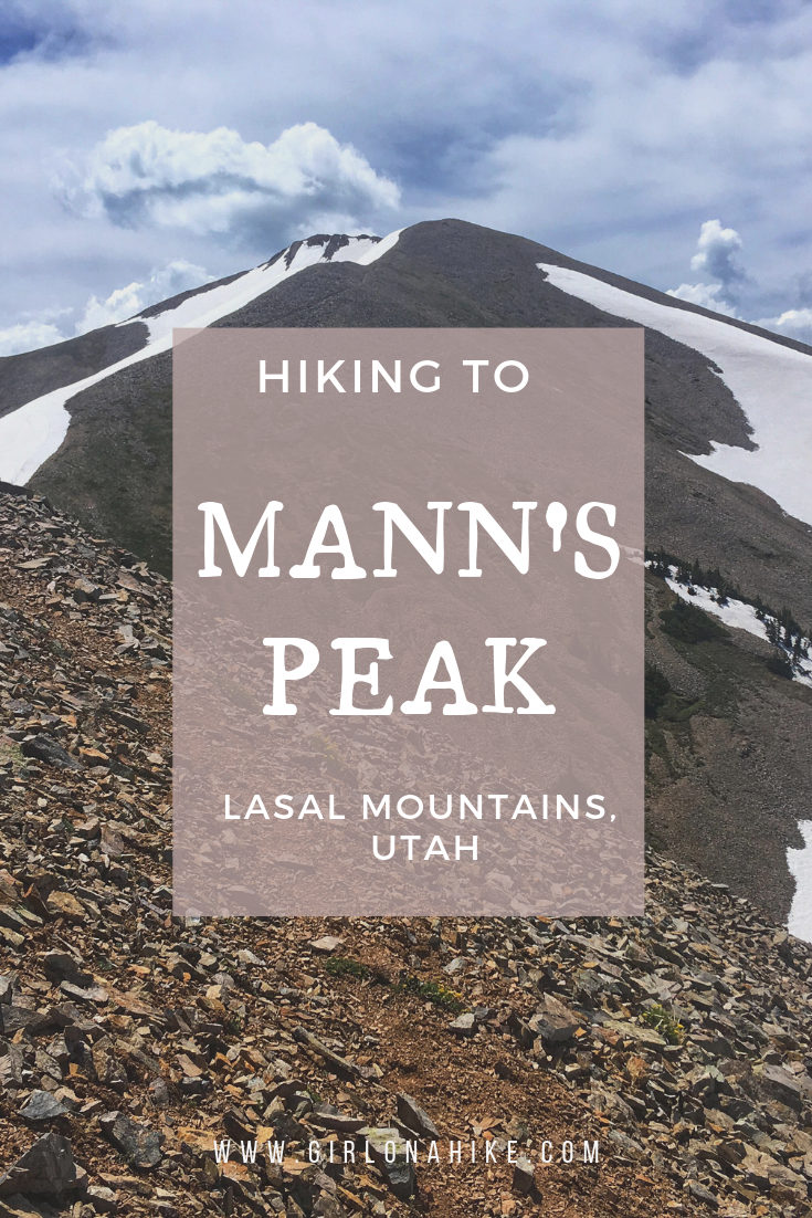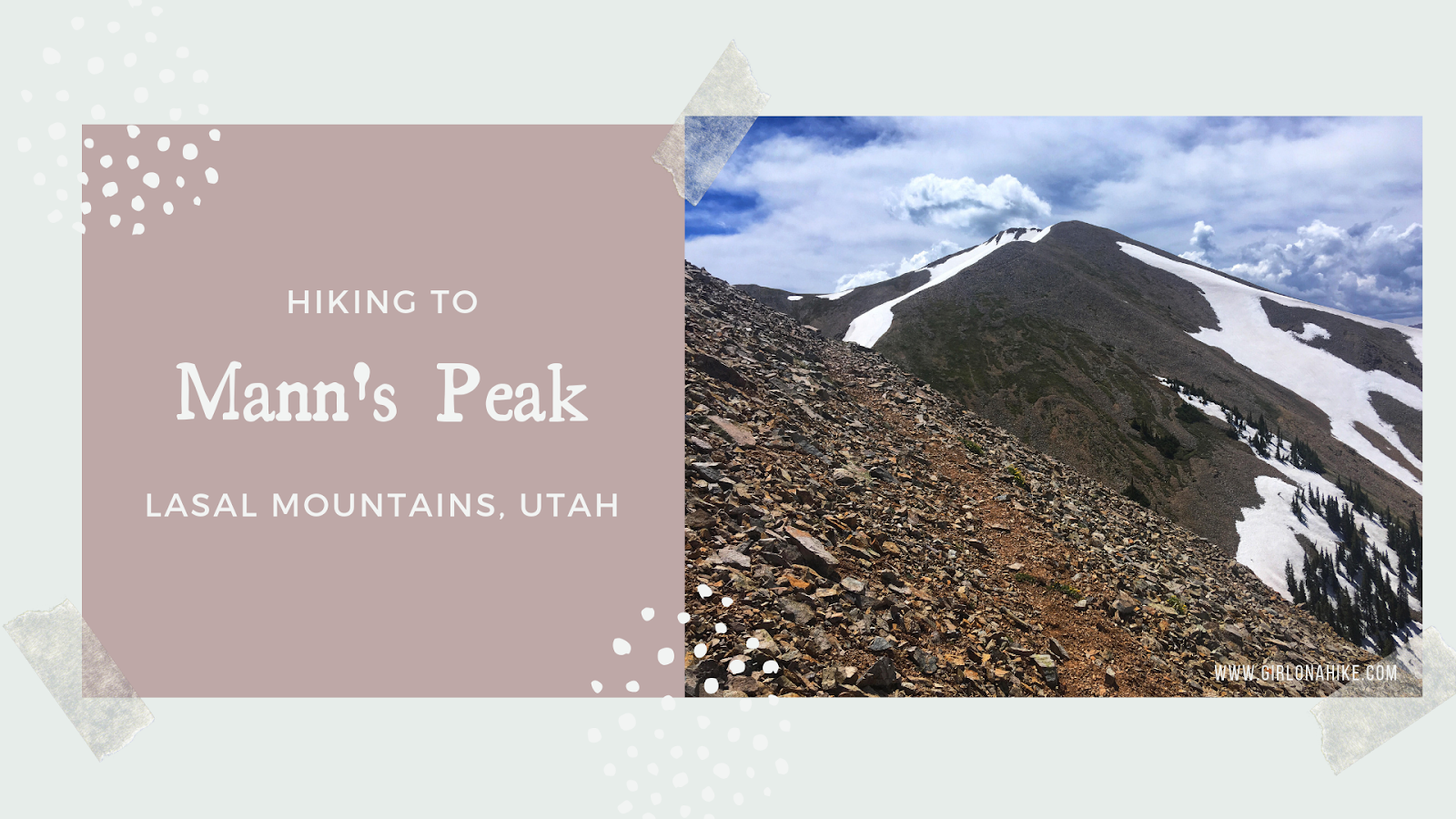

Mann’s Peak (12,272 ft) 5th highest peak in the LaSal Mountains, and one of seven “12ers” in the range. The LaSal Mountains are the 2nd highest mountain range in Utah, behind the Uinta Mountains. Mann’s Peak is easily accessible by a trail the entire way from the West at Warner Lake Campground, or coming from the East in Beaver Basin. The trail itself is mostly well-shaded, with plenty of water from the Dry Fork Mill Creek. As you reach the saddle, you’ll hike above tree line and will be fully exposed. Start hiking early in the morning to beat the afternoon thunderstorms that occur almost daily in this mountain range. The best time to summit is Summer and Fall (typically late June to the first snowfall in October).
Directions
From Moab, head south on HWY 191, and turn right on Old Airport Road. At the “T” turn left. Follow signs for LaSal Scenic Loop Road. From the “T”, drive 13.5 miles and turn right for the signed Warner Lake Campground. Drive to the very end of the well-graded dirt road, where the trail begins.
Here’s a driving map.
Trail Info
Distance: 4.75 miles to summit
Elevation gain: 2, 992 ft
Time: 5-7 hours
Dog friendly? Yes, off leash
Kid friendly? No
Fees/Permits? None
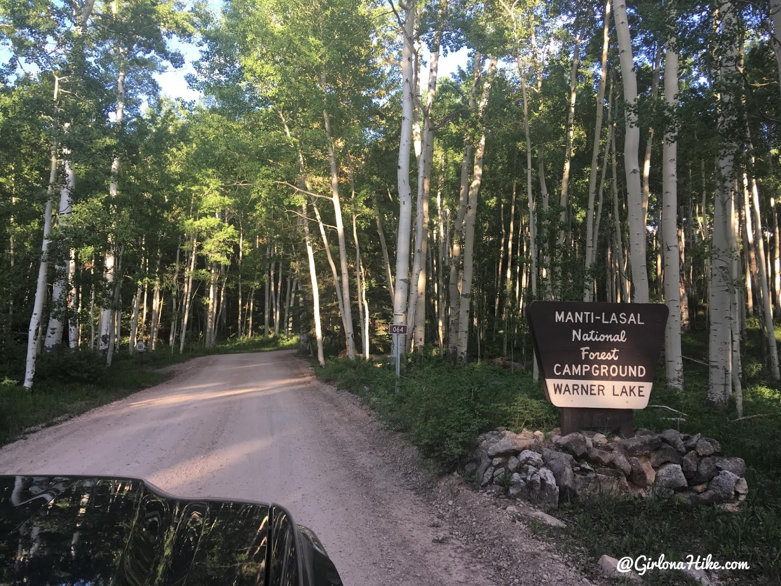
Driving through Warner Lake CG. If you want to camp here I highly recommended making a reservation. We were hoping to get a walk-up site and everything was taken.
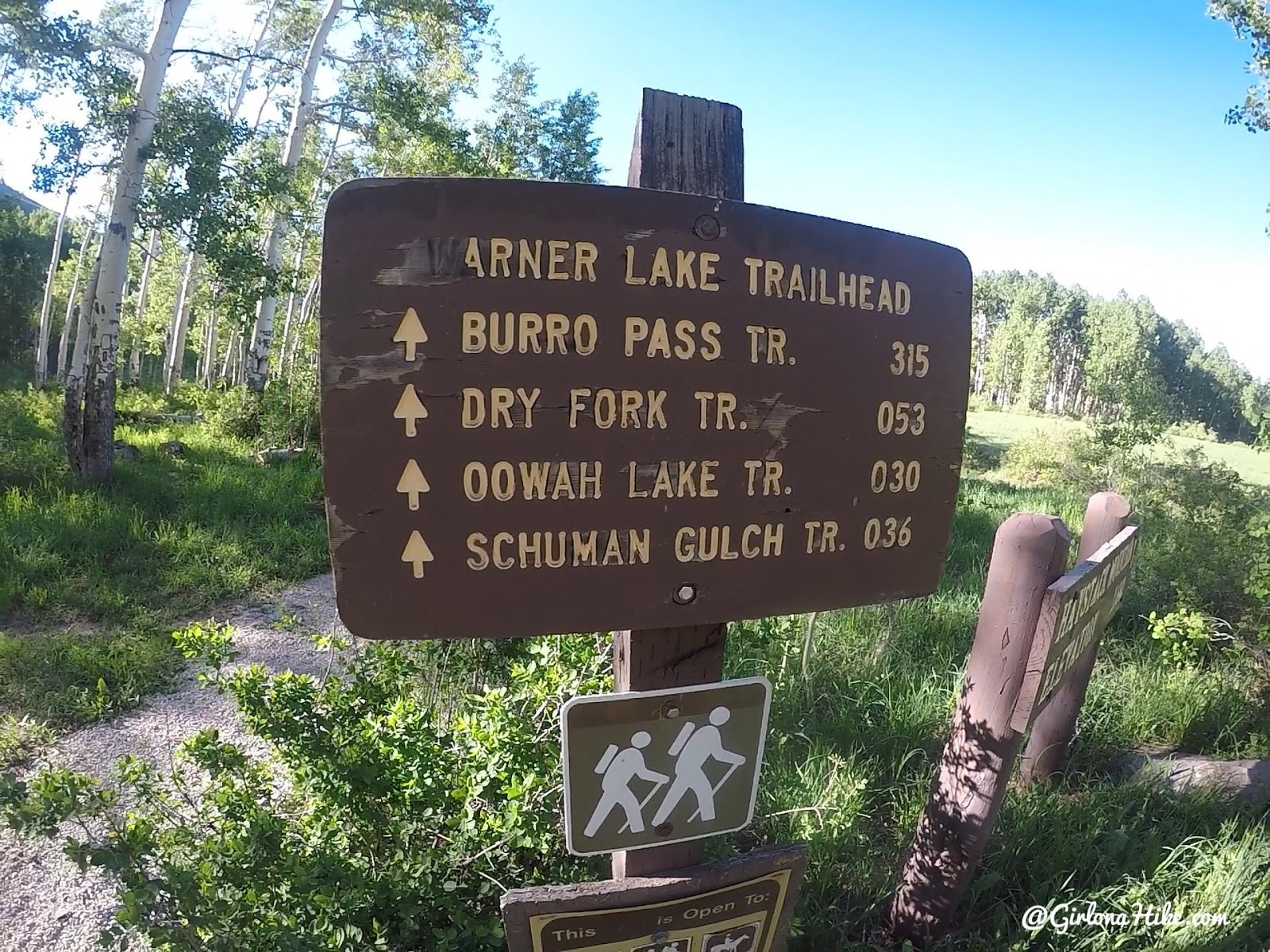
Park in the day-use area, then walk over to the TH. Walk by Warner Lake.
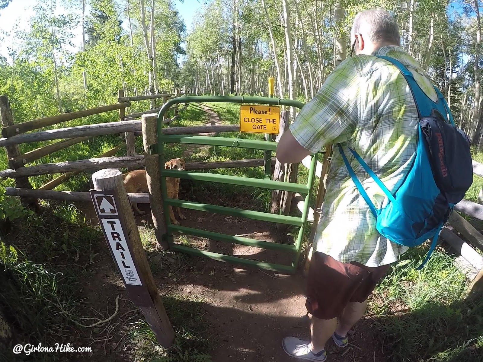
Just after Warner Lake pass through the gate.
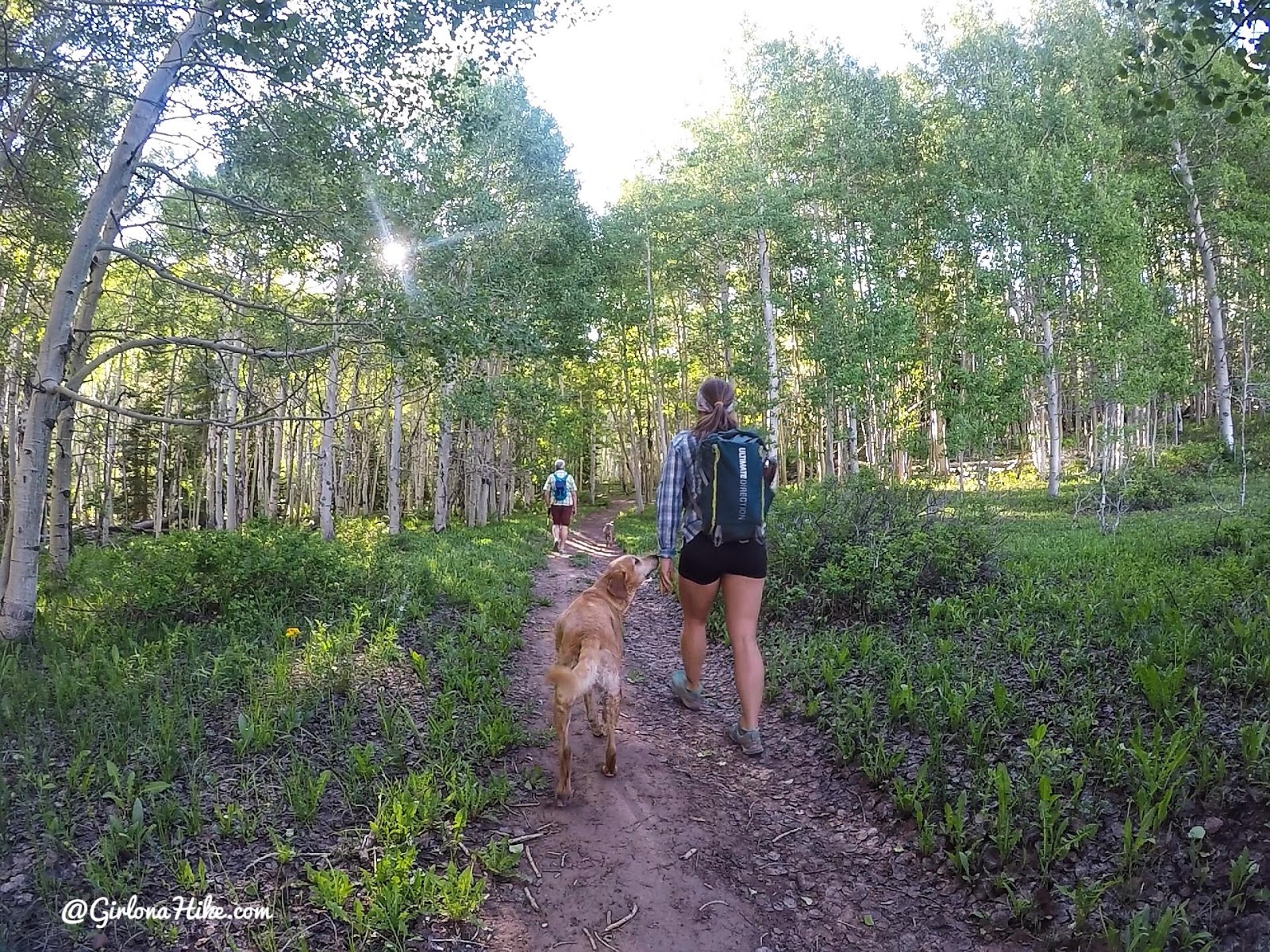
The first mile is very flat and filled with Aspen trees.
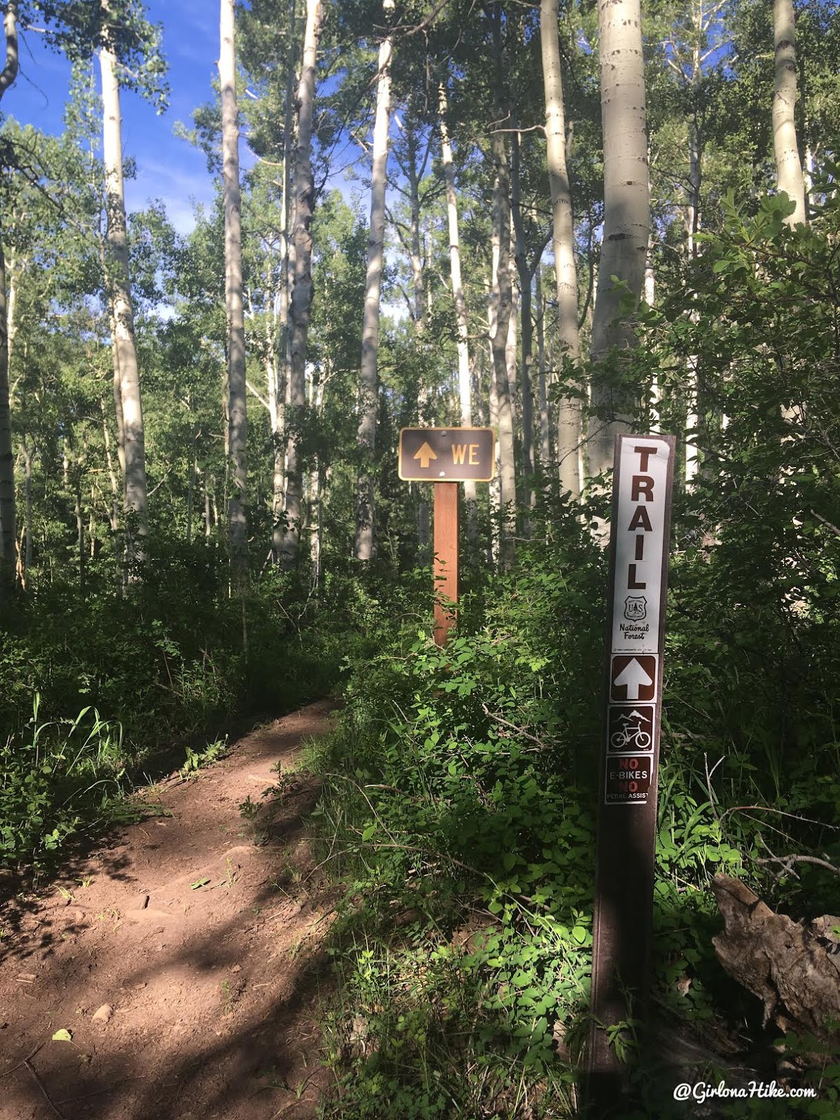
You’ll come to a 4-way intersection. This photo is looking to the right, but go straight and down hill, crossing the canal.
If you go left you’ll be on the bike route, so you’ll need to be aware of bikes flying through and move out of the way. “WE” is for the Whole Enchilada bike trail.
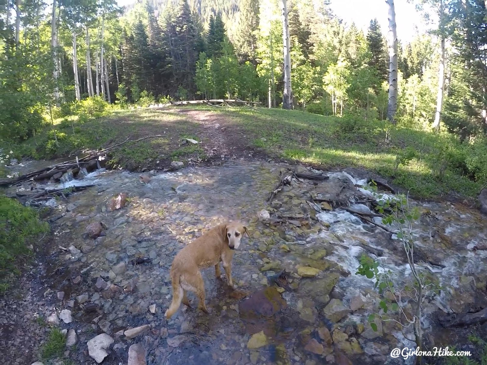
You’ll quickly come to a creek crossing, then turn left.
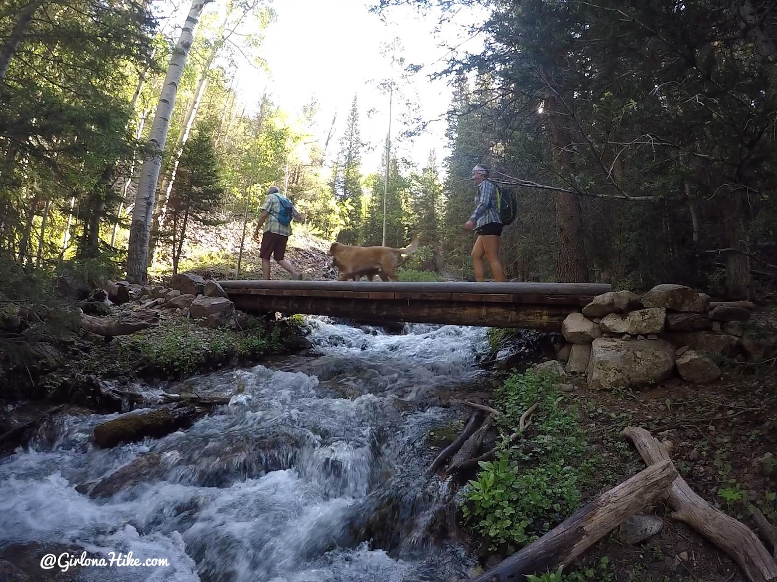
You’ll then cross a bridge. Right at the same spot across the bridge you’ll see another sign for “WE” to the left – this is the same trail that connects to the 4-way intersection.
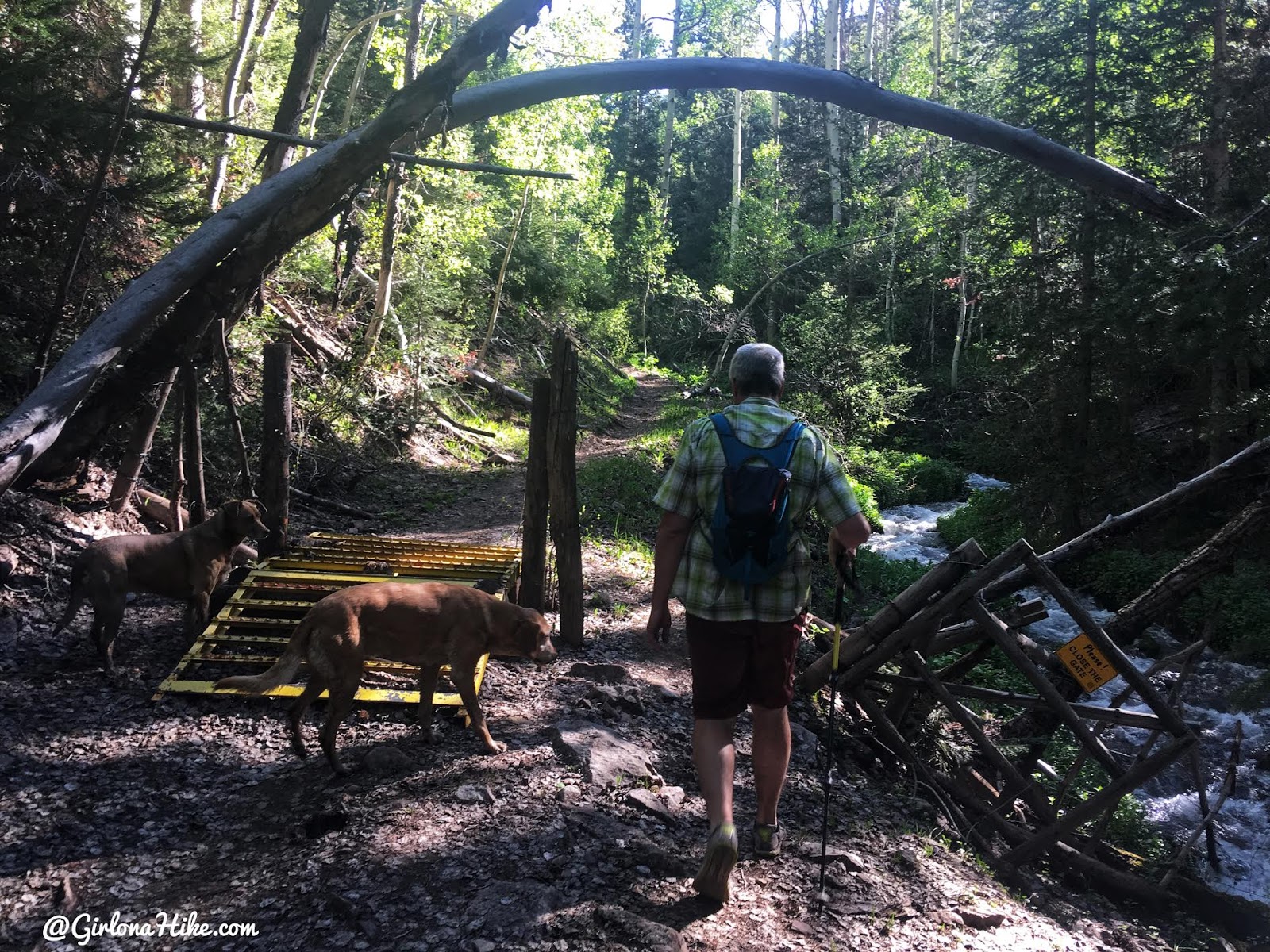
Cut through a gate.
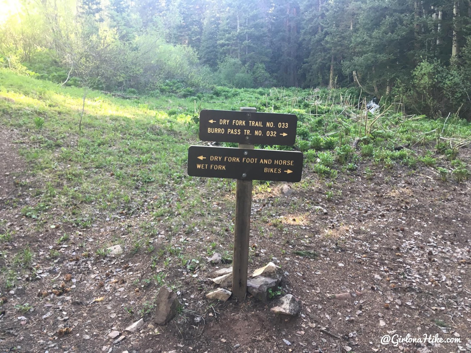
At 1.8 miles you will reach the Dry Fork/Burro Pass trail split.
Here’s where you have a few options
1) What we did – hike up to the left up Dry Fork trail 033 to reach Mann’s Peak
2) Turn right and hike up to Burro Pass, then over to Mann’s Peak.
3) Make a loop – up one of the trails, then down the opposite way from the summit.
Both ways are the same mileage – 5 miles from TH to Summit one way. The only reason we didn’t create a loop was because there was still too much snow over Burro Pass and didn’t want to risk getting caught in an avalanche or losing the trail on the way down. Otherwise I would have loved to do a loop!
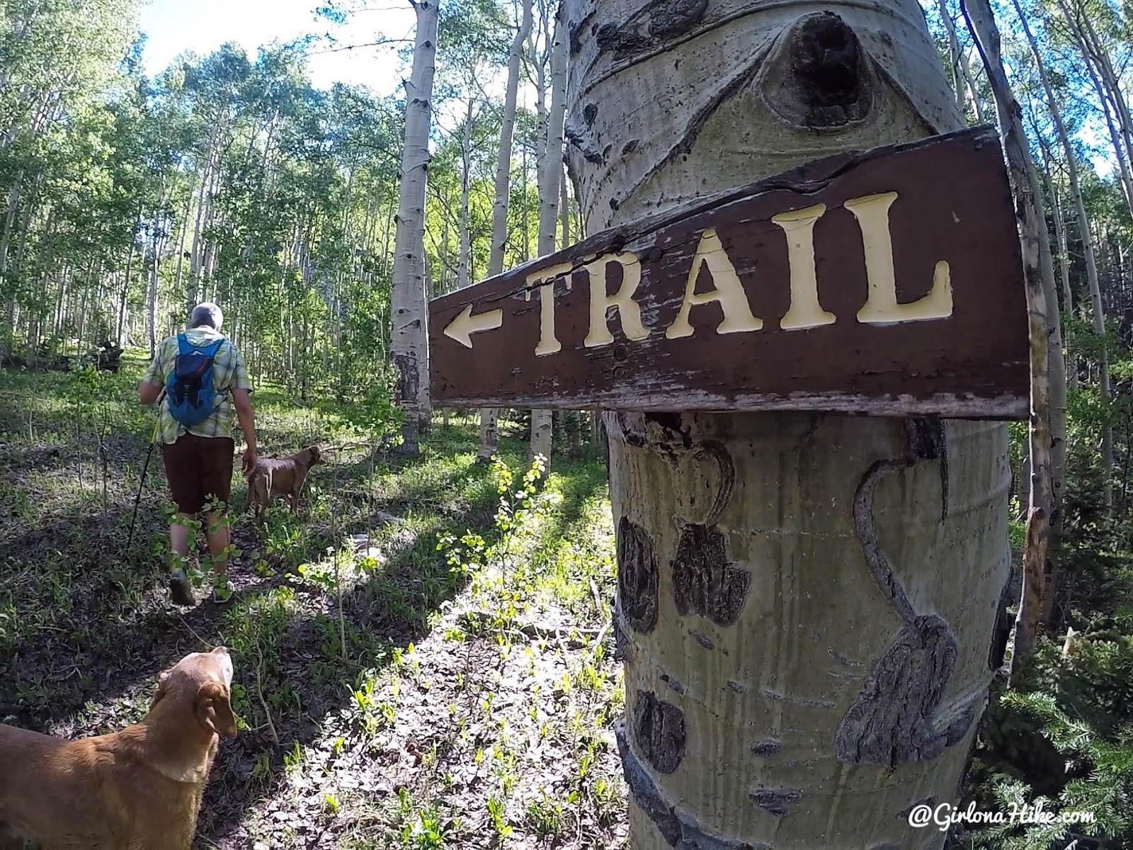
Pass the trail split you’ll hike through a small meadow, then turn left at this sign. The sign is easy to miss – if my friend hadn’t pointed it out I wouldn’t have seen it.
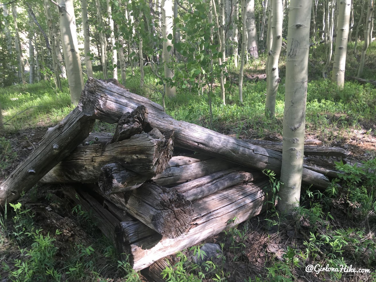
You’ll immediately pass an old cabin on your left.
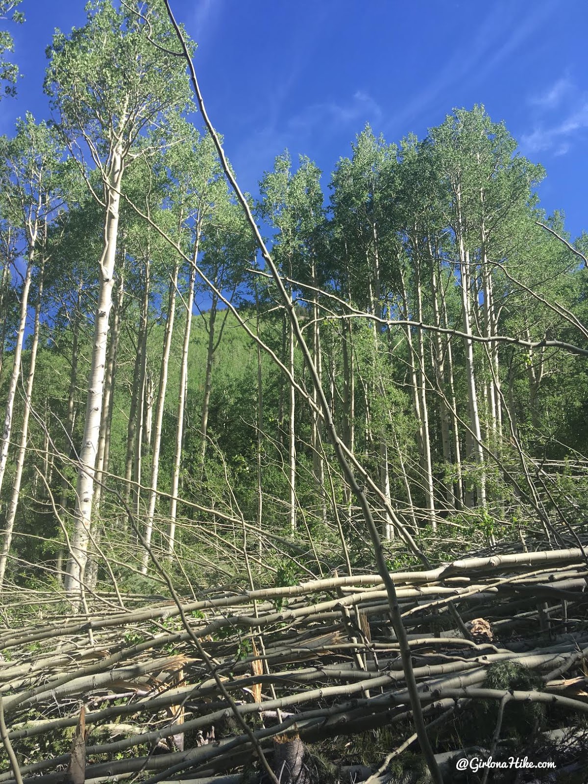
As we started to gain elevation we came across this large avalanche debris field. This was so amazing and sad to see!
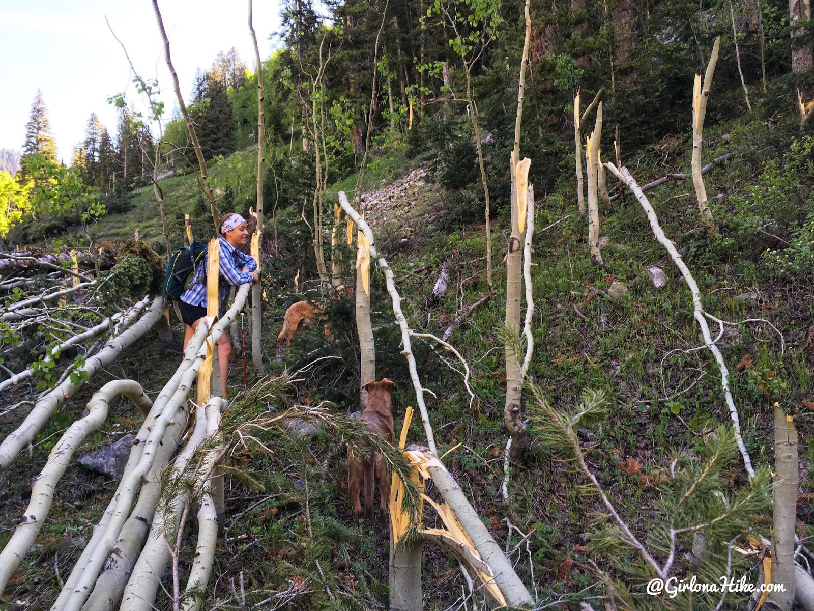
All of these trees in the avy path were completely snapped.
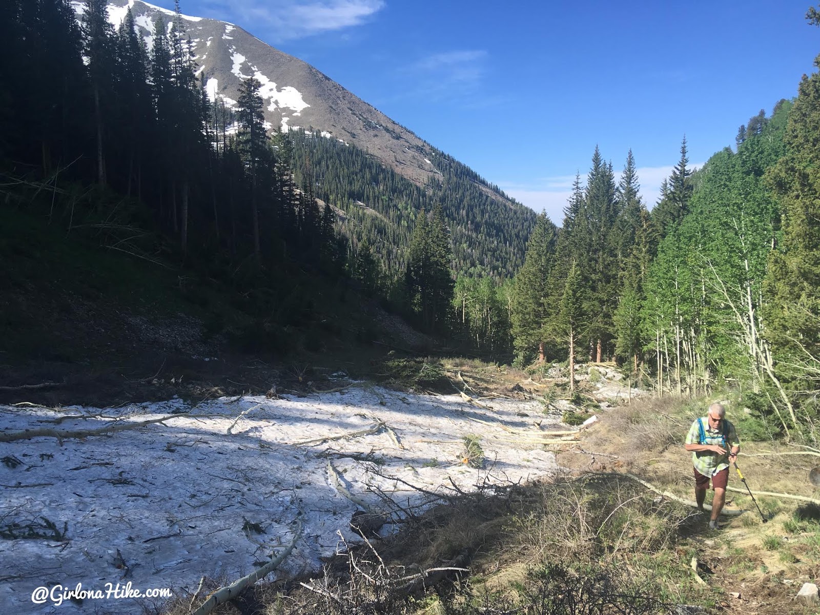
Looking back down to the avy path and where we started to lose the trail. There was so much debris and leftover snow we couldn’t see where the trail went. If you do get lost, all you need to remember is to keep following Dry Fork East on your map/GPS.
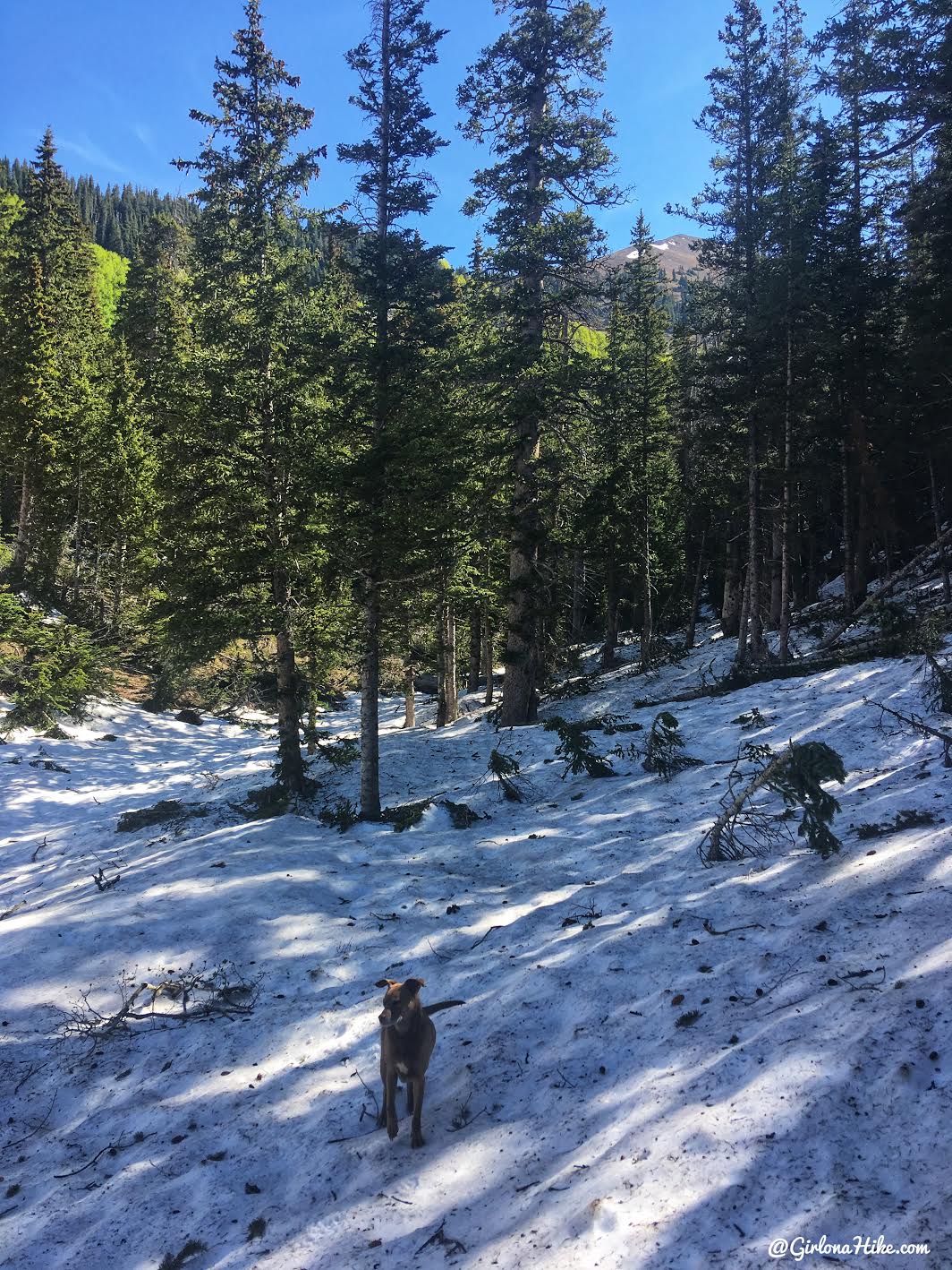
Trying to find the trail again but the snow won.
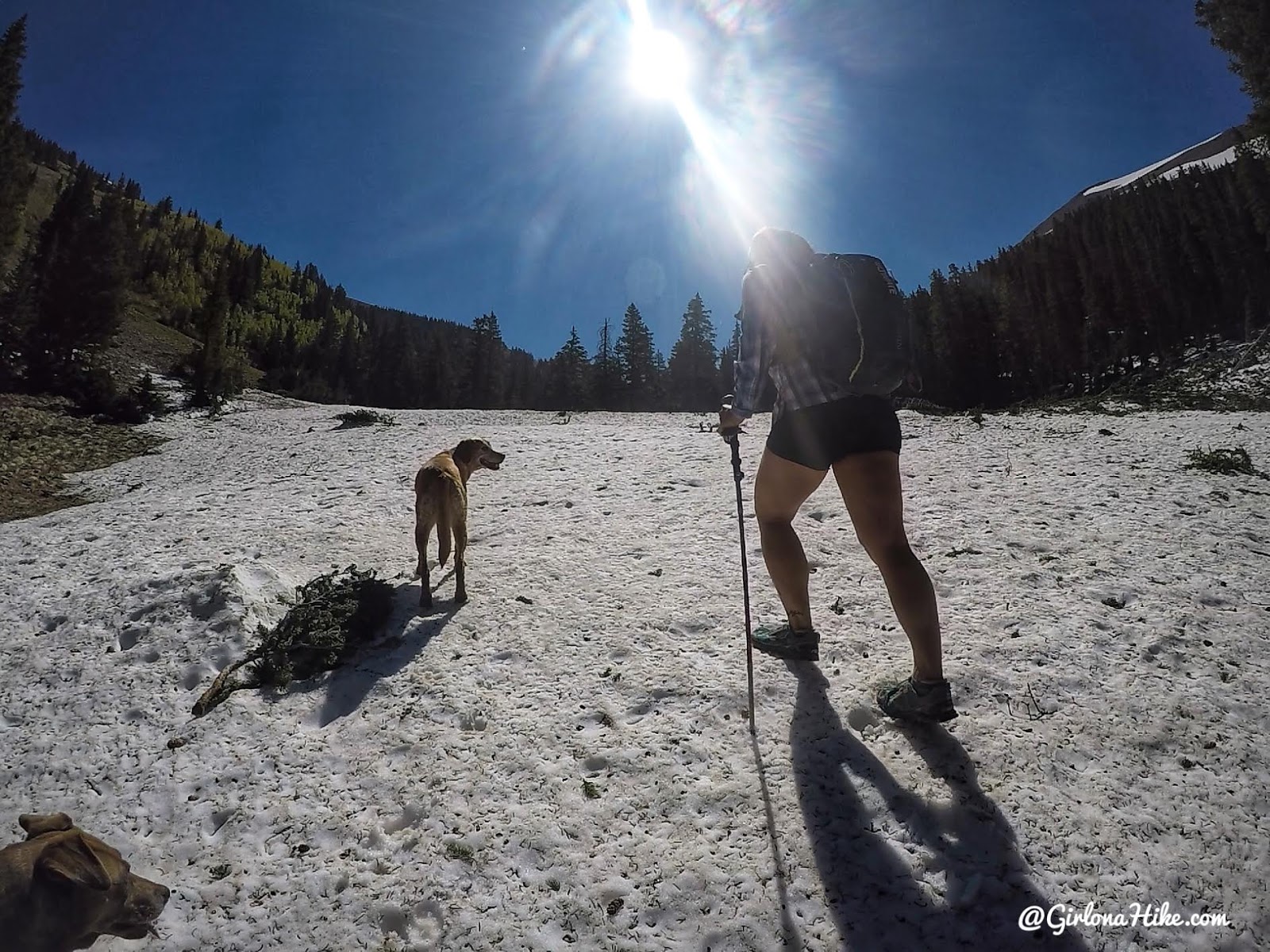
At least the snow was hard packed most of the time so we just keep hiking East up the gully.
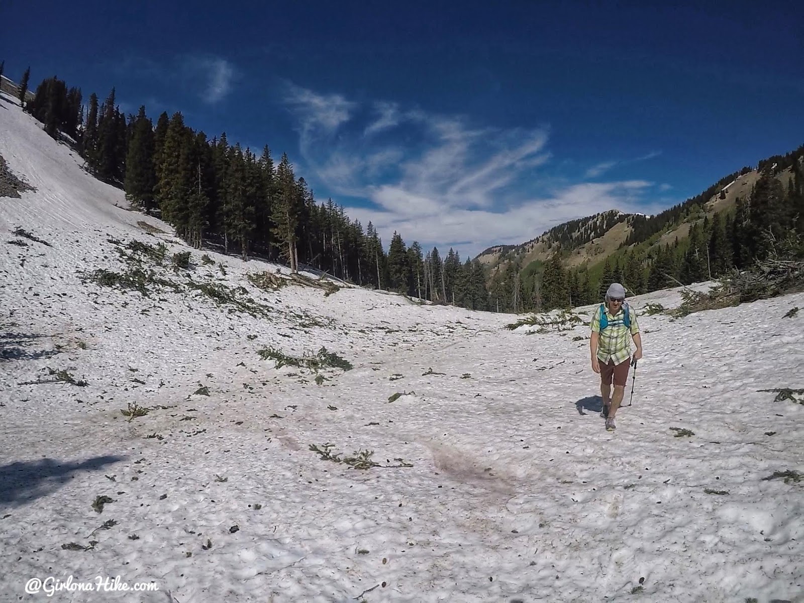
Wow! Looking back at Dan coming up through the old avy path. The snow ranged from a few inches deep to 3 ft deep.
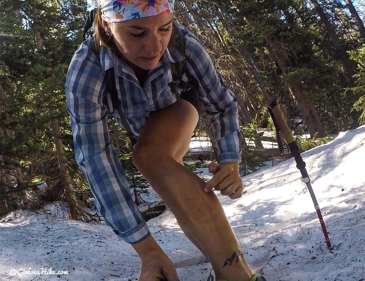
OUCH! Sometimes the snow was really soft and I ended up post-holing through and sliced my leg on a tree branch sticking up from under neath the snow where I fell through.
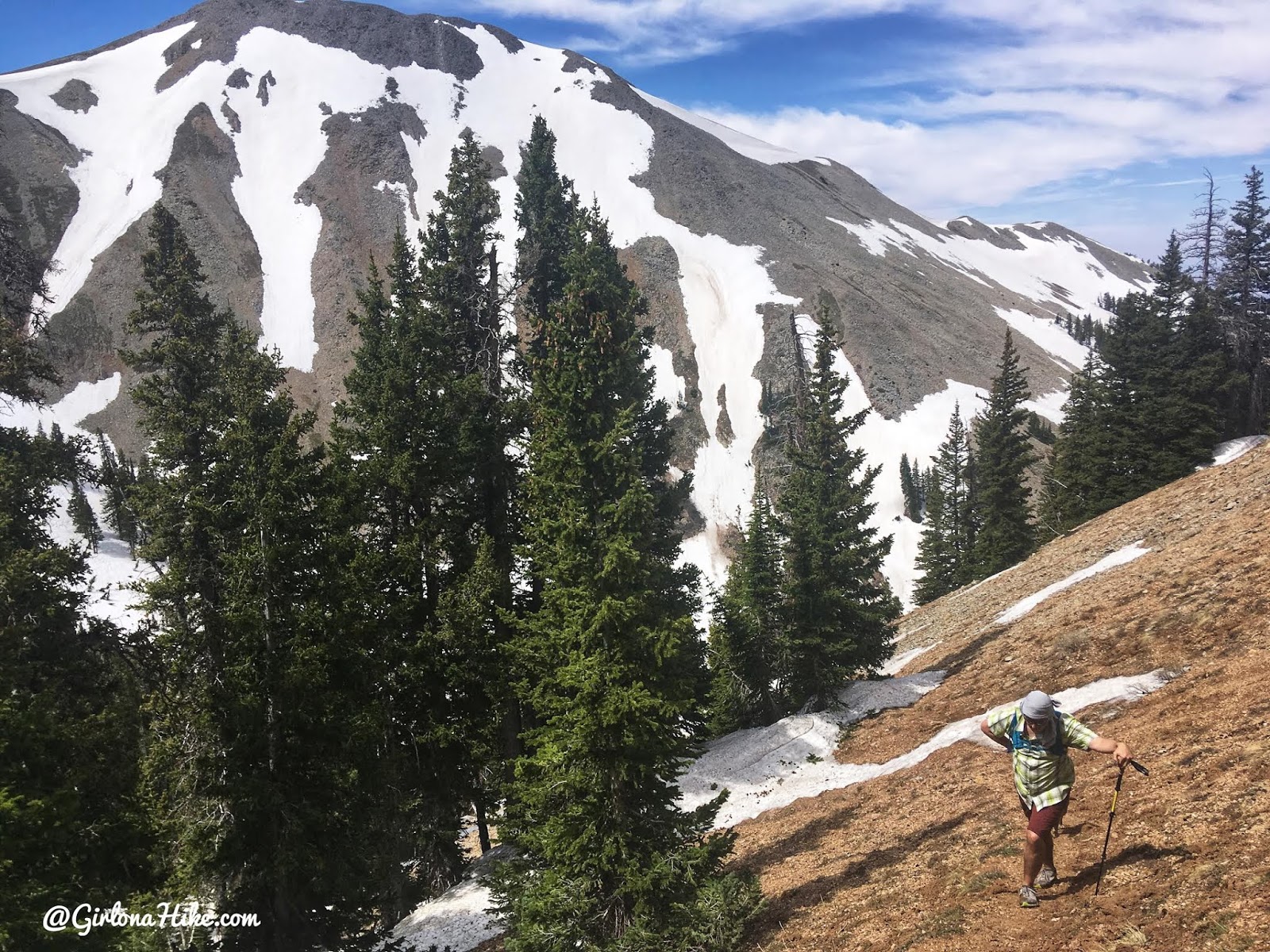
Around mile 3.4 you will start to work up the switchbacks. They’re pretty steep but doable.
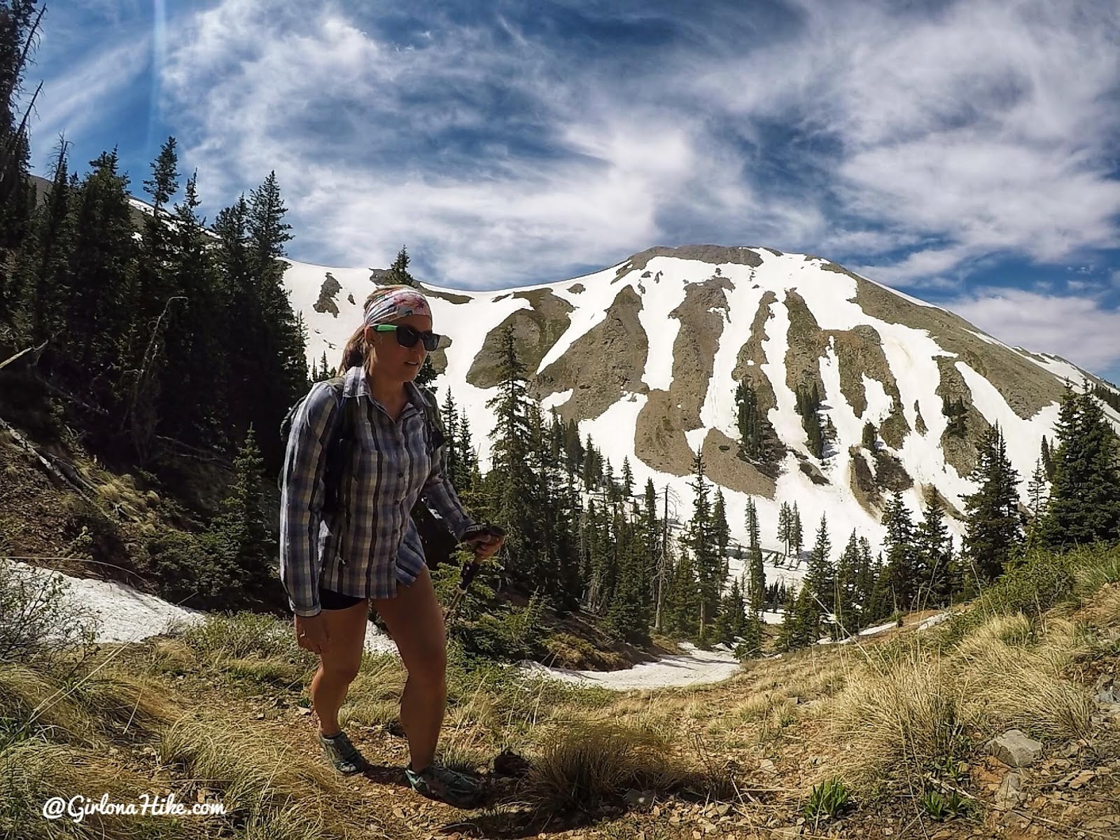
Whew, working hard uphill.
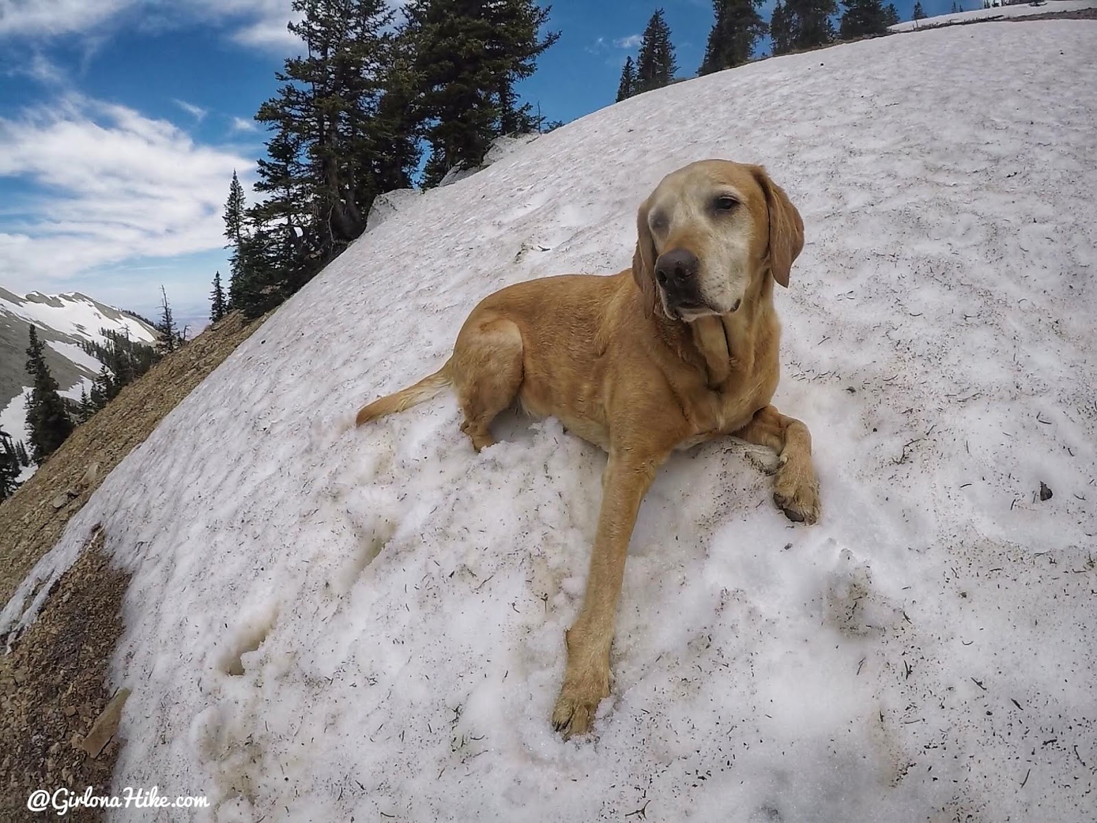
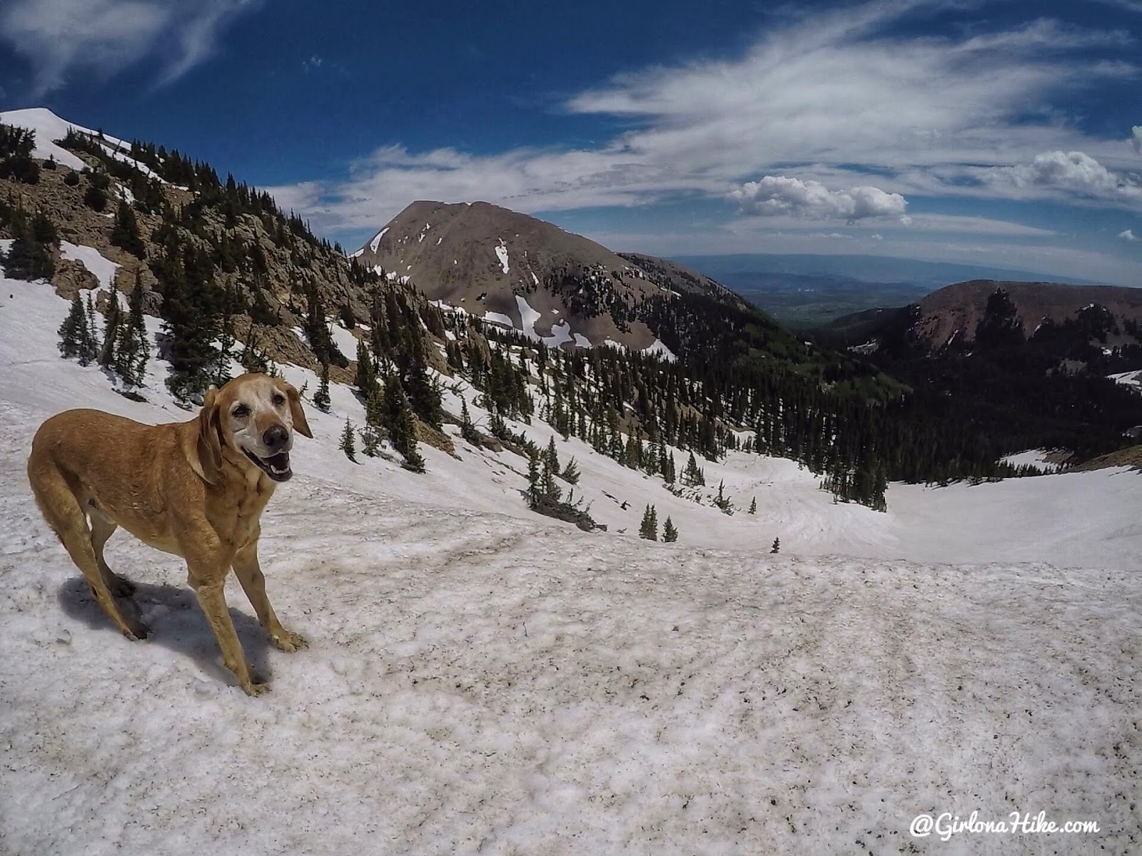
Charlie takes a break in the snow patch we had to cross on the switchback.
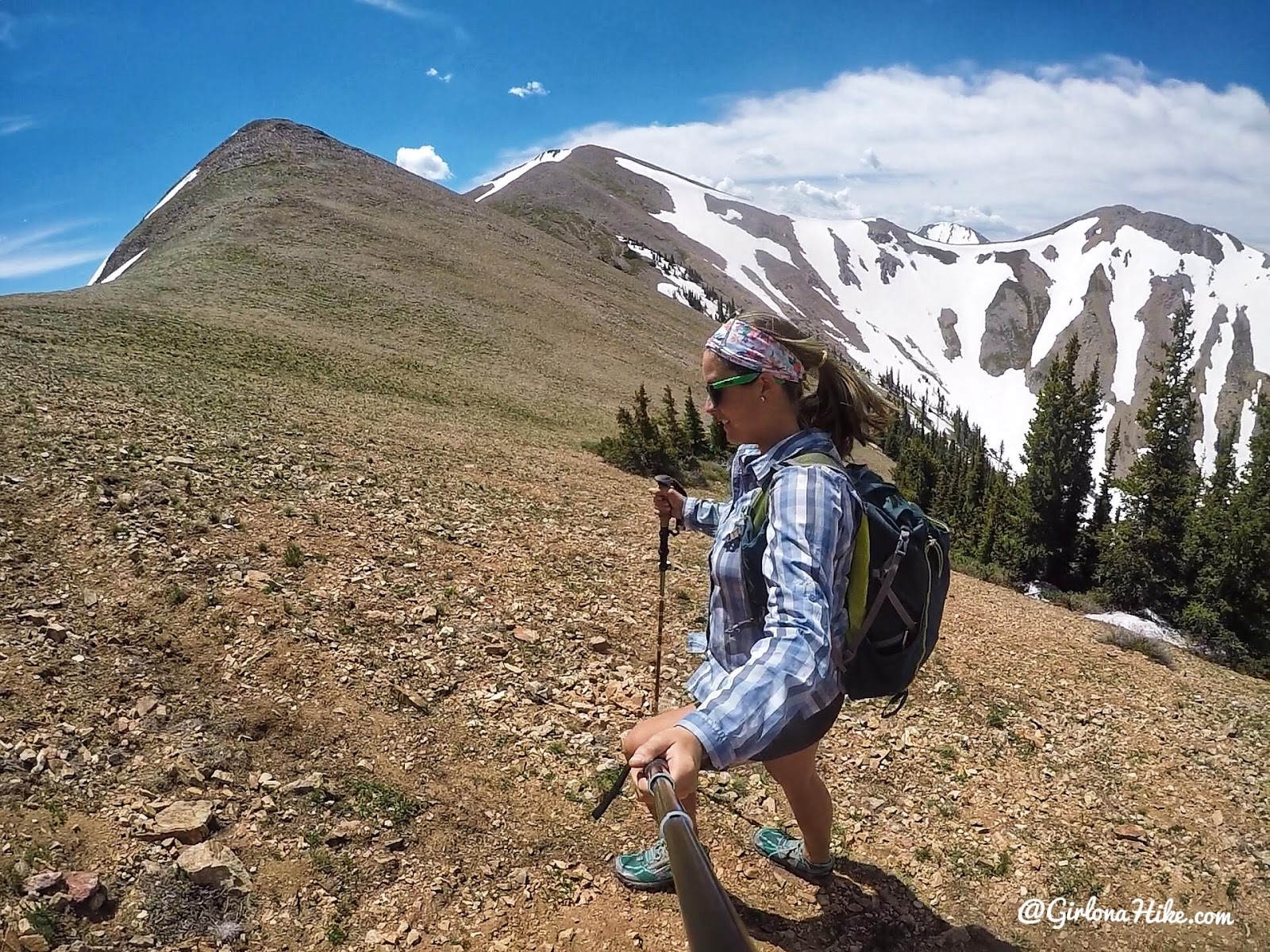
Almost to the saddle and the wind picked up.
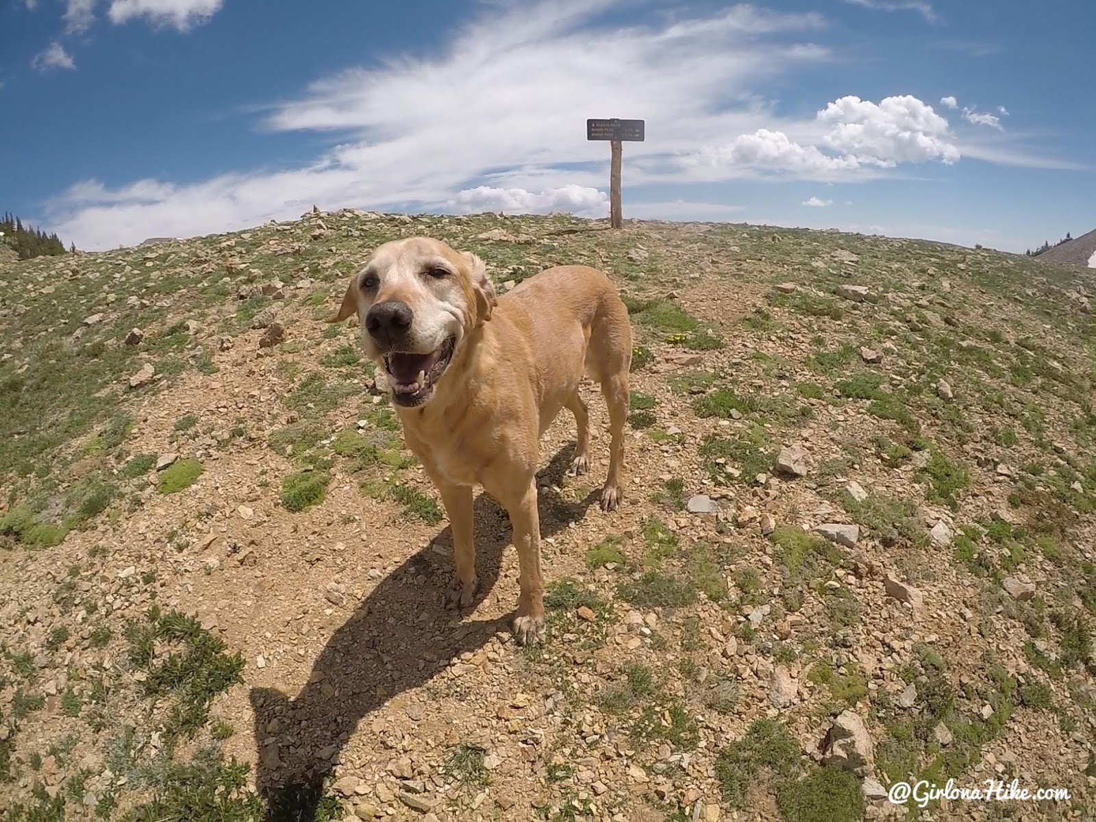
Finally at the saddle! I tracked 4.0 miles from the TH to here.
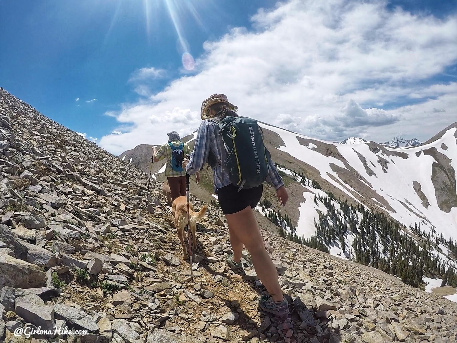
Once on the saddle continue right, and walk around the base of “Point 11,849 ft”.
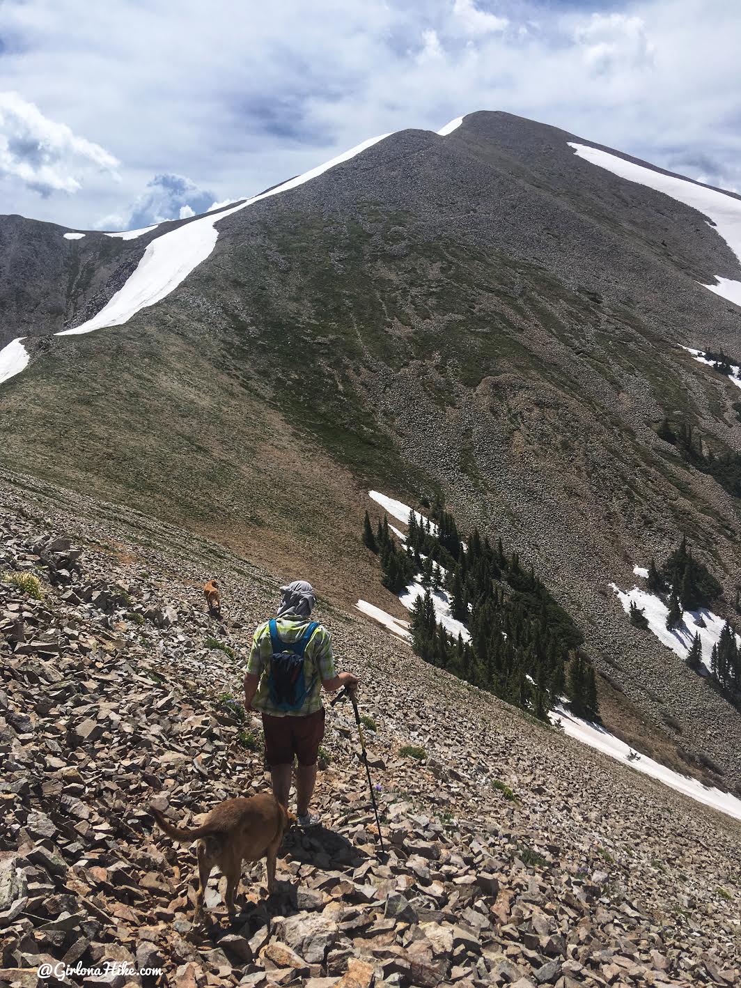
Make your way to the next saddle.
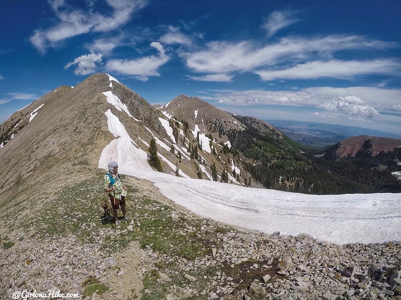
The 2nd saddle also had quite a bit of snow. This looks down into the south end of Beaver Basin.
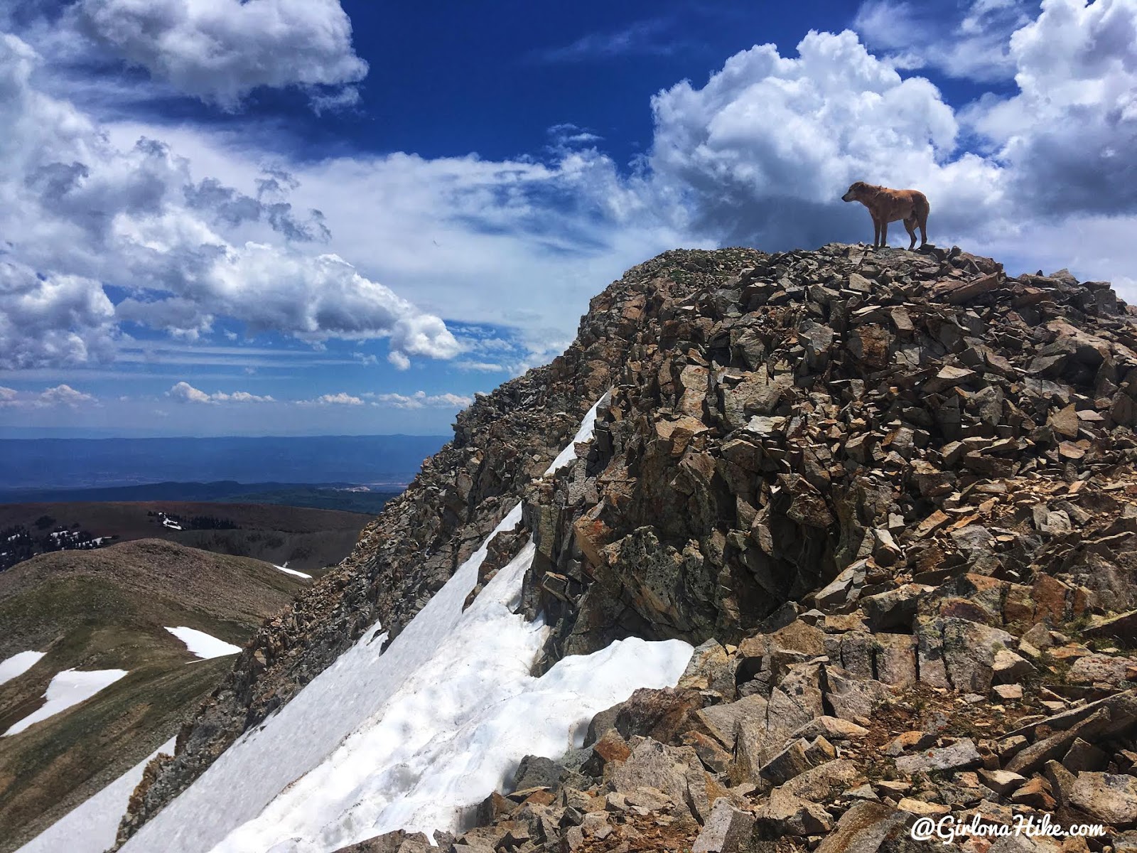
Finally, so close to the summit with Charlie in the lead!
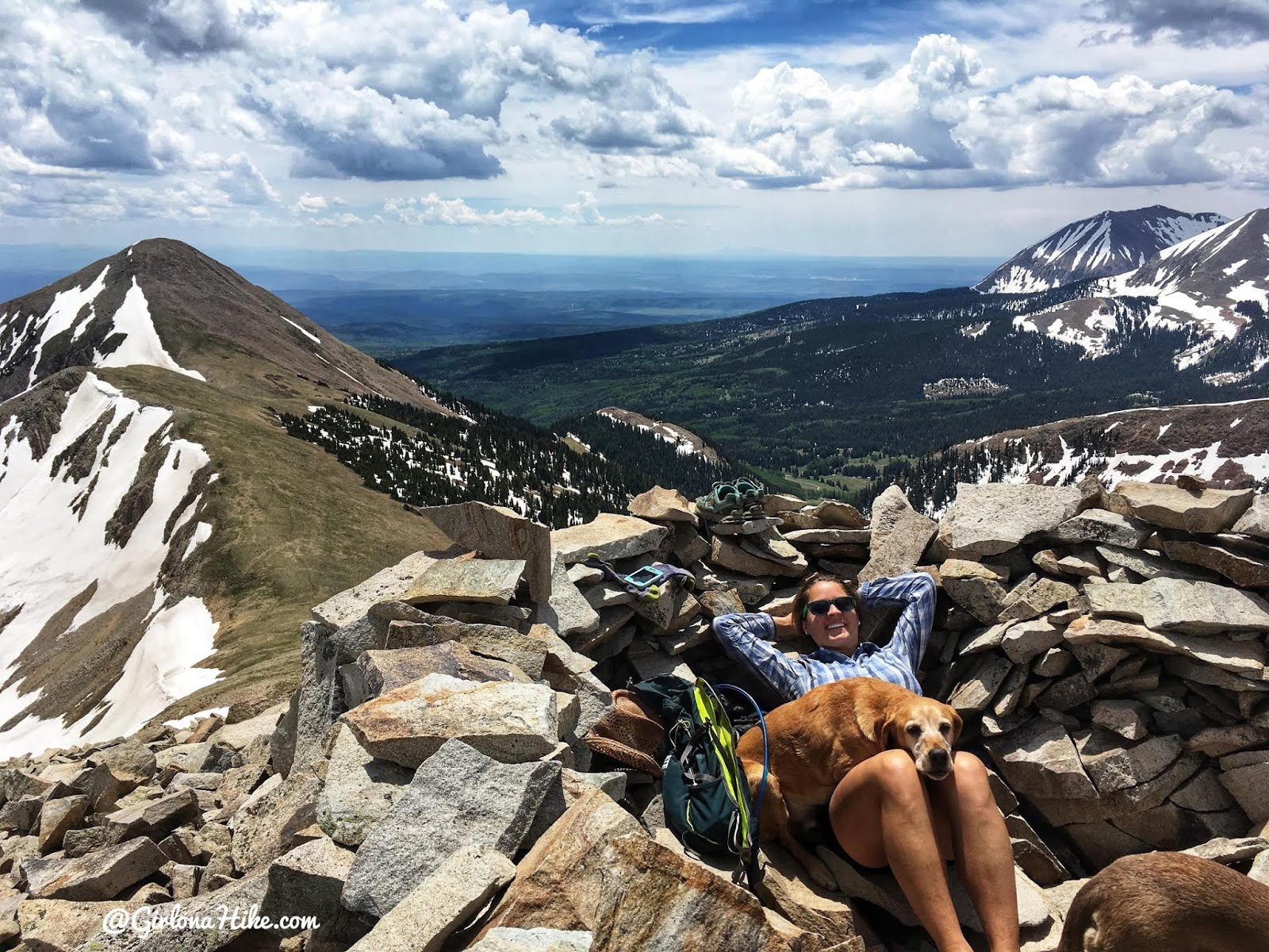
It took us 4 hours 10 minutes to reach Mann’s Peak, but we did it! We were slow because of the debris fields, losing the trail, and negotiating the snow fields. On the way down it only took us half the time since we knew exactly where to go.
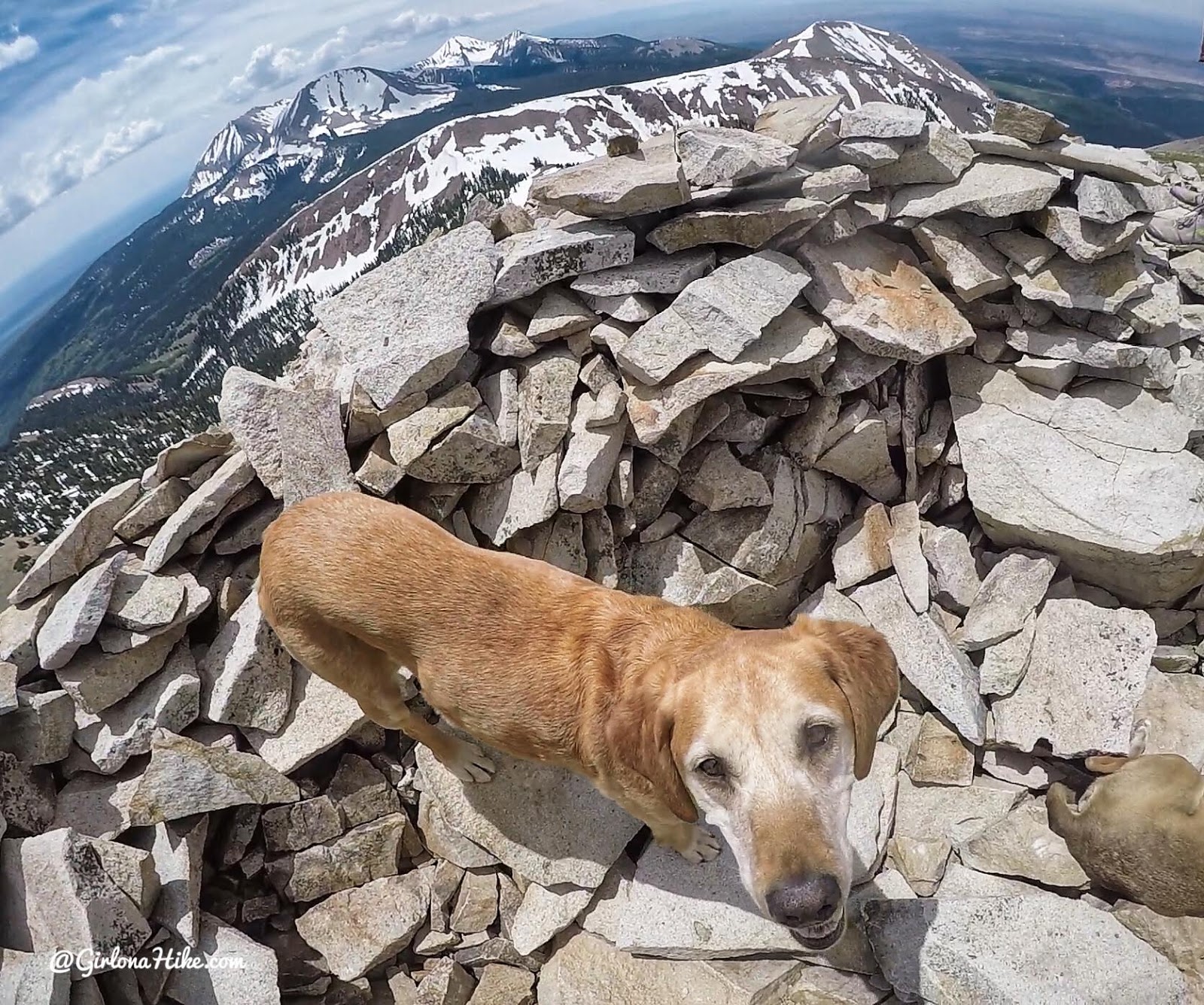
Charlie loved Mann’s Peak – he said his favorite thing was sniffing all the new smells along this trail.
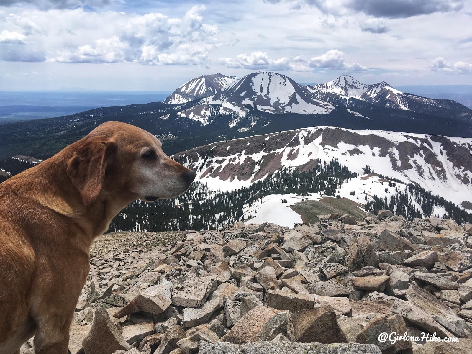
Looking south to Mt.Peale & Mt. Tukuhnikivats!
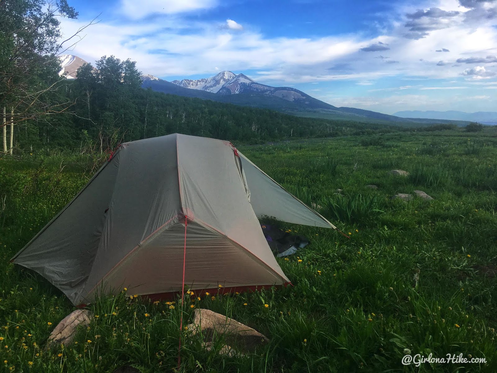
What a day! Such a great hike with amazing views. Afterwards we headed back to camp for a fire and dinner!
Check out my Youtube video!
Trail Map
My track via Gaia GPS – the best tracking app! Get your app here for a discount.
Nearby Hike
Hiking to Brumley Arch, LaSal Mountains

Save me on Pinterest!
