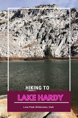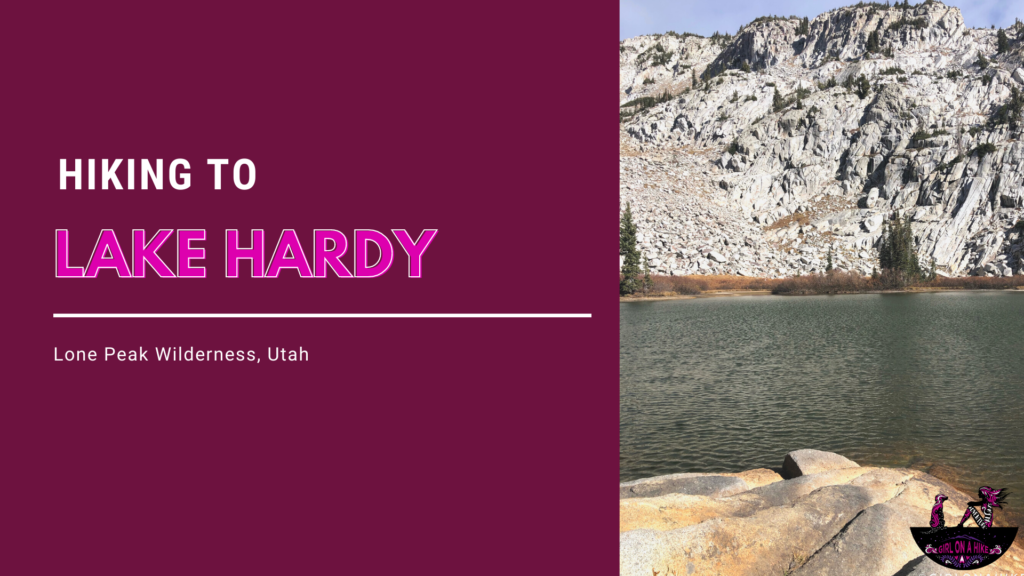
About
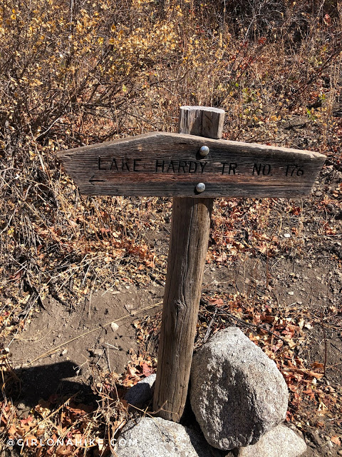
Lake Hardy Hike offers a challenging yet rewarding experience, with two main trails that lead to the stunning Lake Hardy in the Wasatch Mountains. The First Hamongog Trail, just under 6 miles one way, features a tough 4,400 ft elevation gain, making it a great workout for your calves and glutes. For the descent, we took the North Mountain Trail, which is just under 5 miles (normally 6 miles), with a 4,100 ft drop. Both trails are rugged, overgrown, and sandy, so be prepared with long pants and sleeves. Both trails are about the same distance, so it didn’t make sense to do an out and back. Trail gaiters won’t keep your feet clean, but they’ll help with debris.
I had put off hiking to Lake Hardy because of the challenging terrain and steep elevation gain. But with proper preparation, including compression socks and electrolytes, I found the hike to be incredibly rewarding, offering some of the best views in the Wasatch Mountains.
Although this off-leash trail is great for dogs, I didn’t bring my 8.5-year-old dog, Charlie, this time due to the dry conditions and long hike. However, younger, more experienced dogs can tackle the hike, especially earlier in the summer. Just make sure to start early to avoid the heat and protect your dog’s paws from the sandy trail.
Directions to the School House Springs Trailhead:
From I-15, take exit 284 and head east towards AF Canyon (UT-92). Use the commuter lane to bypass traffic lights, and turn left at N 5300 W. Continue through the roundabout and turn right on 200 N, left on Grove Drive, and left again on N Alpine Cove Dr. Turn left onto Aspen Drive, a dirt road leading to the trailhead. Park at the School House Springs Trailhead, where up to 15 cars can park (no 4WD required).
Here is a driving map.
Trail Info
Distance: 6 miles one way
Elevation gain: 4500 ft
Time: 5-7 hours RT
Dog friendly? Yes, off leash
Kid friendly? No
Fees/Permits? None
Hiking to Lake Hardy: What to Expect
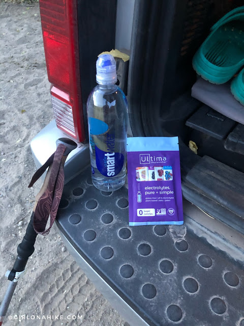
First things first – change out of the crocs and into my hiking shoes, then fill up my water bottle with Ultima electrolytes. I carried one extra pack with me to make at the lake. I’m always interested in trying new electrolyte brands and I like this one! My favorite flavor is the blueberry.
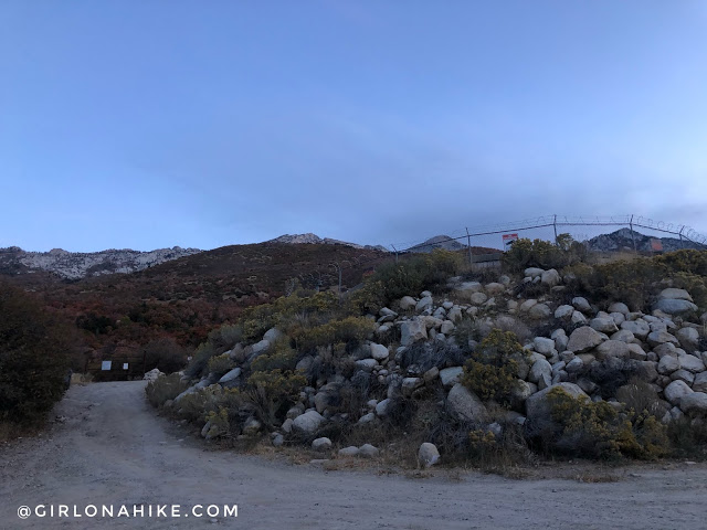
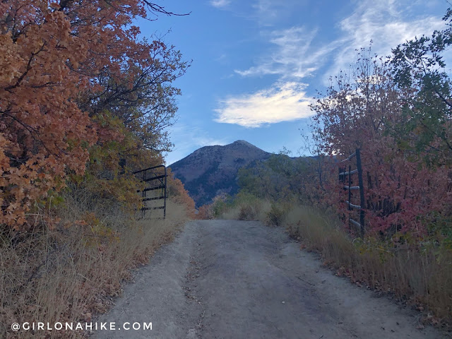
The parking area is at the water tank just before the gate.
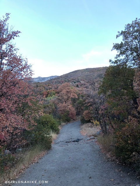
The first 2 miles are uneventful, following the dirt road. There are sings everywhere saying, “No trespassing – stay on main road”.
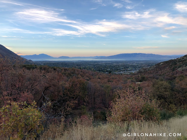
The views south towards Utah Lake are pretty nice though!
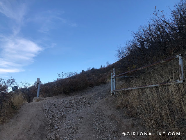
At 1.3 miles pass the 2nd gate.
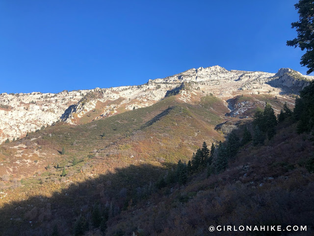
And 1.9 miles the 3rd gate, with Box Elder Peak perfectly framed.
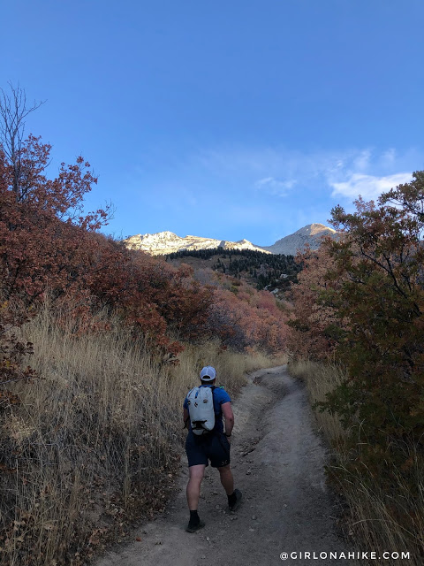
Ahh finally looking North towards the general direction we will be hiking towards. Big Horn Peak is the one on the right.
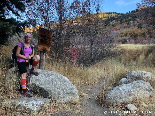
At 2.1 miles pass the official Lone Peak Wilderness sign.
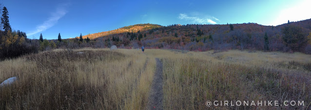
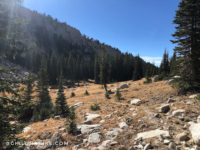
Reach the first Hamongog (aka meadow).
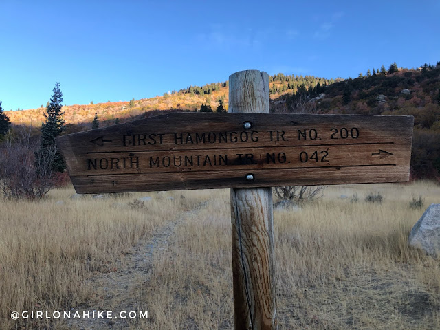
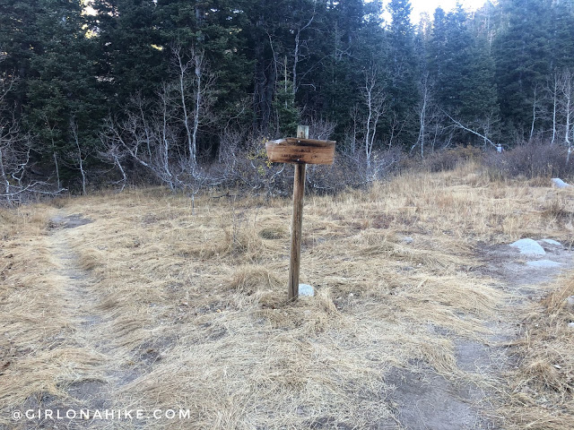
To create the loop clockwise like we did, turn left. Eventually you will end up back at this same spot from hiking the loop. There is a trail going straight, but that eventually dies out.
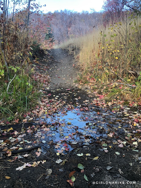
Your first er…water source. If you were desperate you could make it work, but the flow was extremely low. Maybe earlier in Summer there would be more.
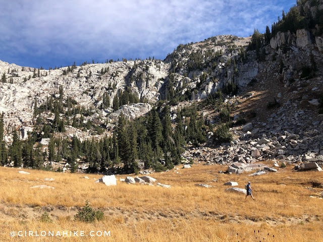
Eventually you start to turn a corner below the second hamongog (meadow).
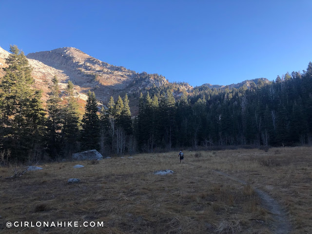
Reach the second hamongog (meadow). Here there are plenty of areas for tent or hammock camping, however, no water in October. We only saw one tent that was home to some hunters.
At the end of the meadow at 3.5 miles reach the next trail split. Stay right for Lake Hardy. Left will take you over to Lone Rock.
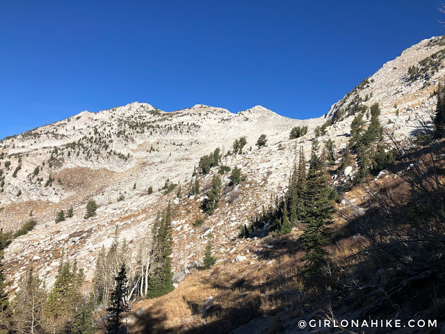
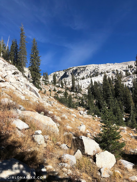
Whew, and now the trail gets really steep after the trail split. See the meadow below me? That is the second hamongog way below!
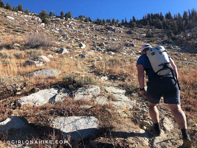
Keep an eye out for cairns to lead the way. Seems like there’s a few trails all around (probably game trails).
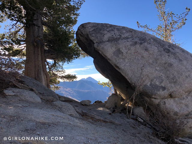
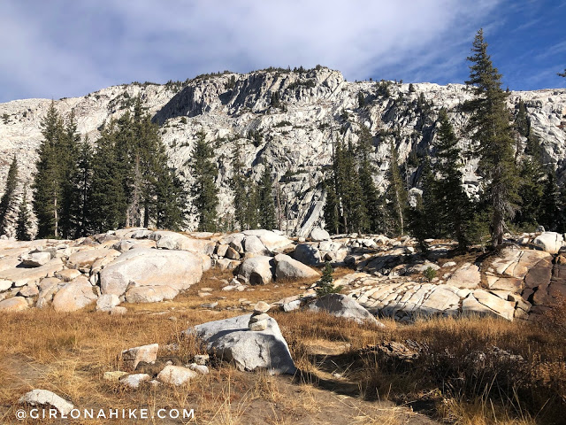
At 4.8 miles reach this really cool rock, with Mt.Timpanogos framed in the distance. From here the trail takes a sharp left turn uphill again.
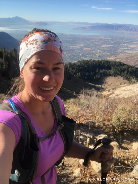
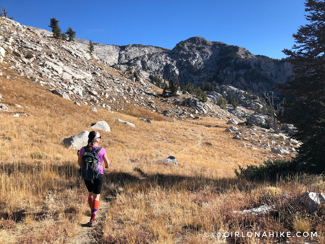
Wow, the views were so cool this way! Hiking this route clockwise allows you to stay in the shade for most of the hike (if you start at sunrise).
Finally, a short relief from elevation gain. Felt strange to hike downhill even just a little.
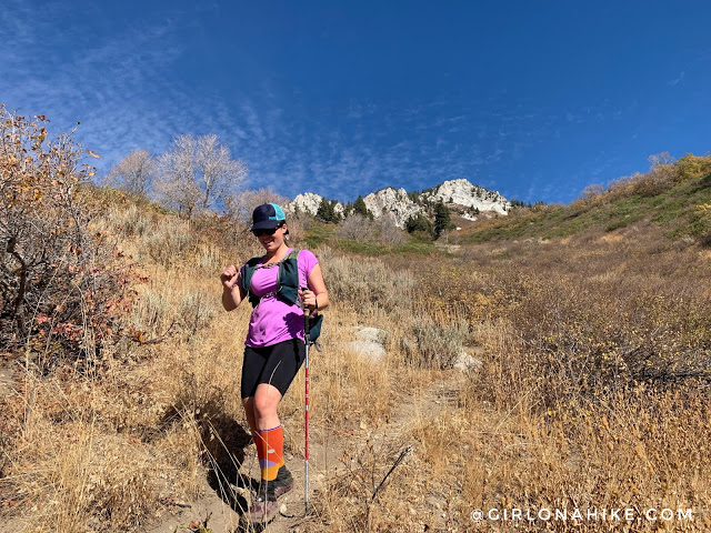
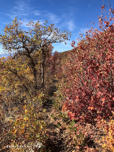
Wow, another stunning view! This route kept getting better and better. Now, let me explain my hiking outfit. Normally, I’m not a fan of long shorts, but for this hike, they were essential. If you’re hiking this trail, I highly recommend wearing long shorts or pants to avoid overgrown bushes. I knew it would be a big day, so I opted for compression socks to support my legs, though I thought leggings would be too hot. The long shorts and compression socks worked well for bushwhacking, but I should’ve added long sleeves – I ended up with a painful jab to my right bicep. Despite looking a bit nerdy, I was comfortable and didn’t end up with scratched legs. Compression socks are a game-changer for recovery on this hike, so don’t skip them!
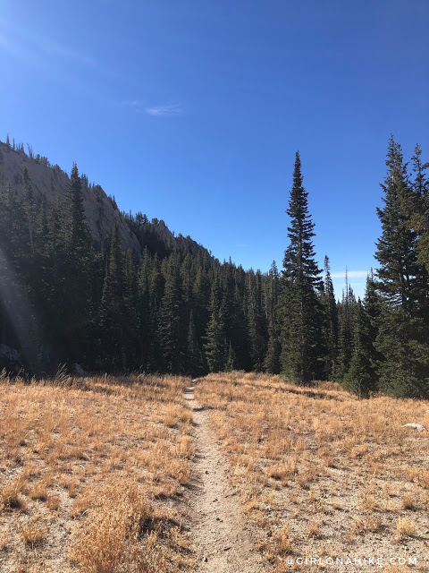
As you turn the corner to start hiking North again, there is an okay trail but also keep an eye out for cairns again. Some areas they seemed to go all over, but we were able to pick up the trail in pieces.
Turning the corner. Doesn’t look like much of a trail, but we basically hugged the rock line as we aimed for the small saddle.
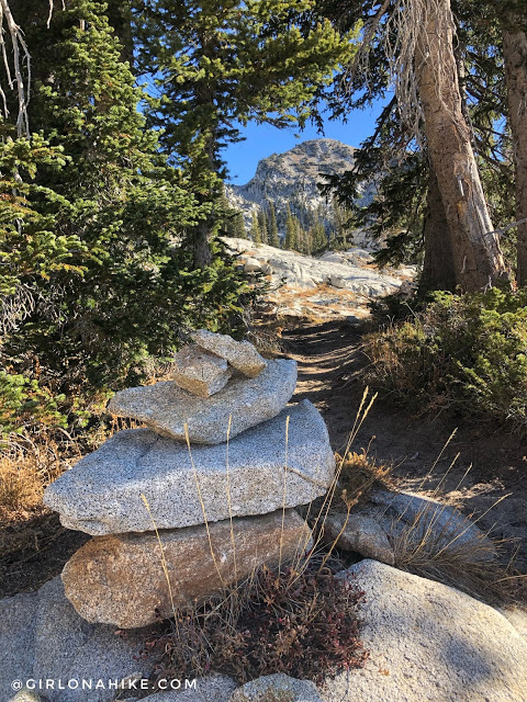
You’ll see another cluster of trees again, and you know you are close.
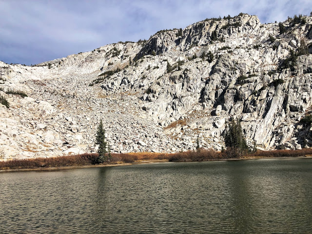
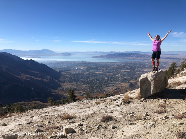
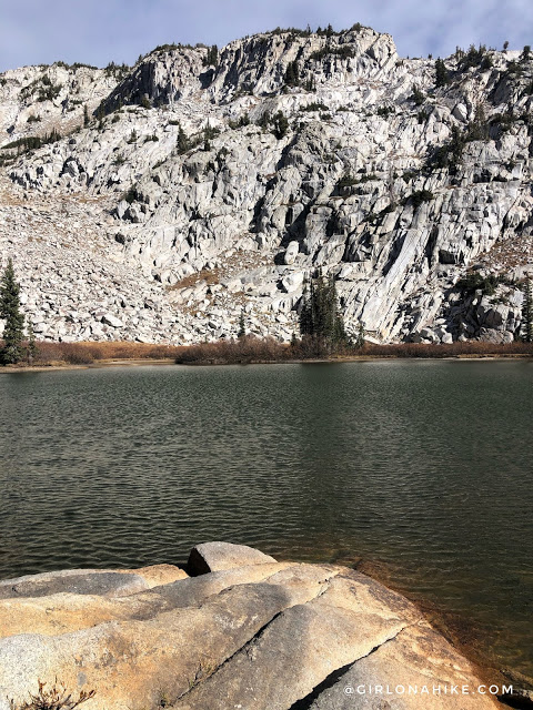
Wow, Lake Hardy for the win! What a beautiful lake – it felt like we were in the Sierra’s! It was super cold and windy up here – glad we brought layers.
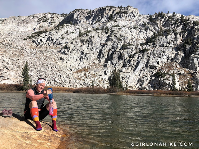
First things first – I always take off my shoes to let my socks and feet dry out to prevent blisters, and I filtered more water to make another round of electrolytes for the hike down.
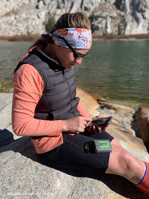
Next, I checked in with my ZOLEO to let friends know we made it safely.
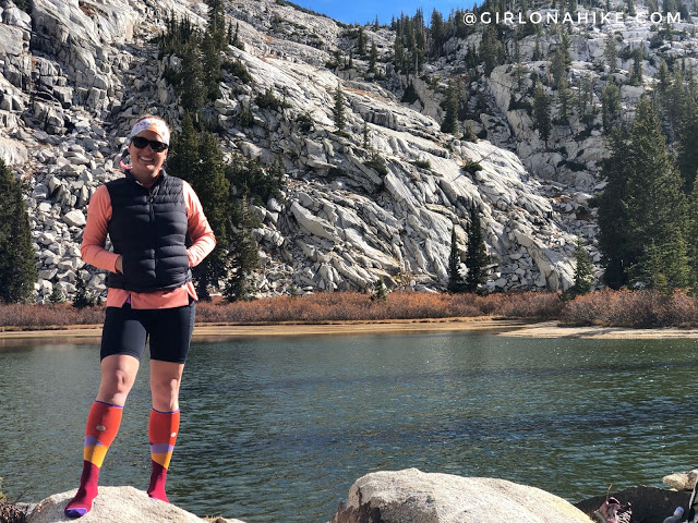
What a cool spot, I want to come back and camp next time! My Shorts and Down Vest are from Lapasa on Amazon. They actually have decent hiking clothes at a fraction of the cost.
Wish I could stay up here longer, but Charlie was waiting for us back home.
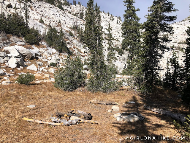
One of the campsites at the lake. This would be such a cool spot to backpack to as an overnight, then hit Big Horn and Chipman Peak the following morning before hiking back out.
On our way back down we aimed for the open meadow, and caught the other trail.
Ian looks so small in this meadow!
Time to descend. There were a few campsites in this meadow as well. Just a warning that there is no official trail split to get back down this way. Just follow the cairns and eventually you’ll find the trail. You’ll first go through a forested section.
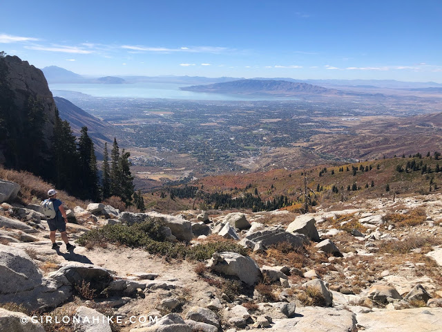
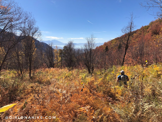
Then, the views open once again and now you have a great view looking back to Utah Lake. Through here, the trail is only halfway present, the rest of the time look for cairns.
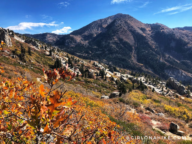
Just amazing! Box Elder looks so pretty surrounded by Fall colors.
In the less steep sections I tried to jog what I could, but my legs were starting to turn to jelly and it was getting really hot without the breeze. The section in between the the last photo and here was heavy bushwhacking, like so tall it was above my head. I would hate to have to climb up this way, yet I think this is the more popular route to reach Lake Hardy. We didn’t see any hikers on our route up, but passed 4 on this trail.
From Lake Hardy to this trail split was 2.2 miles. Turn right to complete the loop.
The trail leveled out finally, and it was back to jogging.
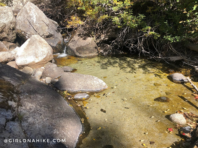
Your next water source – now that’s what I’m talking about! Look at the perfectly clear pool of water. I was thinking that if Charlie had come with us, he would have loved to lay down in it!
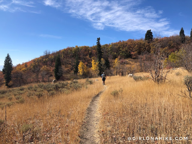
Passing through a field of tall ferns.
At 3 miles from Lake Hardy, you should be back to the first hamongog, where you first started the loop. Whoohoo! Only two miles to go. You’ll see on my map we took a slight shortcut on the way down. I highly recommend NOT doing it – it was extremely steep, loose scree. My trail nemesis! Just stay on the road.
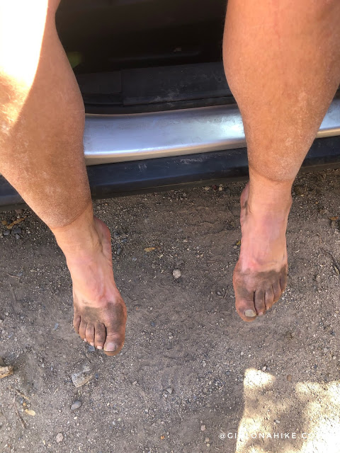
Ian shows off his nice dirt tan! This trail is sooo sandy, that you’ll have dirty feet no matter what even with wearing trail gaiters. They were very helpful in keeping out all the tiny rocks and most of the sand. We both wear these gaiters and they hold up well – he gets the plain colors, I get the fun patterns!
Trail Map
My track via Gaia GPS – the best tracking app! Get your app here for a discount.
Nearby Hike
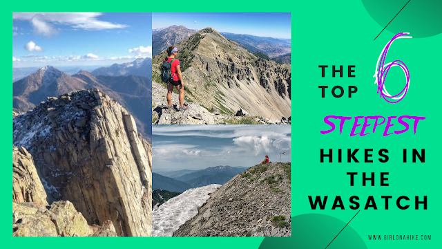
The 6 Steepest Hikes in the Wasatch

Save me on Pinterest!