Directions
From SLC, head north on I-15 then follow HWY 89 north. Turn right on Harrison Blvd. Drive another 4 miles, and turn right on 30th street, left on Polk Ave, and an immediate right on 29th street. Drive to the very end of the road and turn right into the large parking lot. There are no restrooms. Here is a driving map.
Trail Info
Via 29th Street TH
Distance: 2.5 miles RT
Elevation gain: 1,083 ft
Time: 1-3 hours
Dog friendly? Yes, off leash
Kid friendly? Yes
Fees/Permits? None
Via 27th Street TH
Distance: 4 miles RT
Elevation gain: 990 ft
Time: 1-3 hours

You’ll know you are at the correct TH when you see this little pavilion marked, 29th Street TH. After hiking under this, immediately turn left following the signs for Bonneville Shoreline Trail (BST).

Continue following the BST signs uphill.
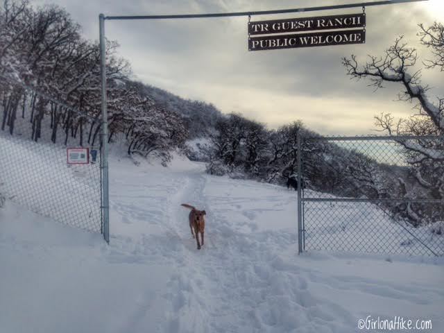
Once on the BST, you’ll hike for another few minutes and hike under/past The Guest Ranch sign. You are now on private property so please be kind and follow Leave No Trace rules, just as you would anywhere else outdoors. If the vandalism continues or too much trash is left behind, I can see the owner easily closing off the gates to hikers/runners. Let’s keep it pristine 🙂
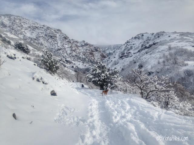
Eventually the trail turns East and you’ll get your first view of Waterfall Canyon. The waterfall itself is still tucked around the cliffs.
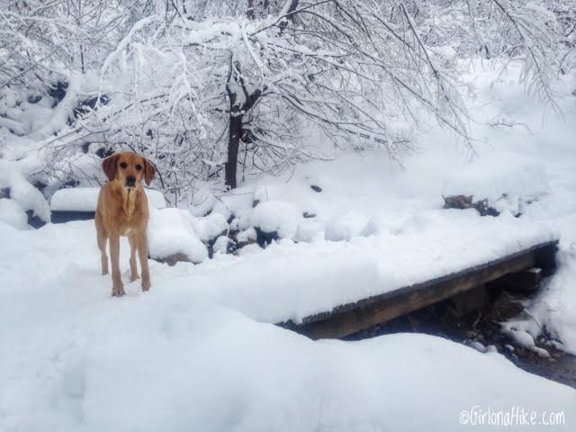
Cross bridge #1. This is also the first spot where dogs can easily get a drink of water from the stream.
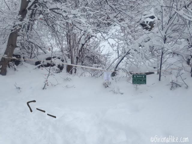
Right after bridge #1, take an immediate left. Don’t miss the sign – otherwise you’ll hike in the wrong direction.
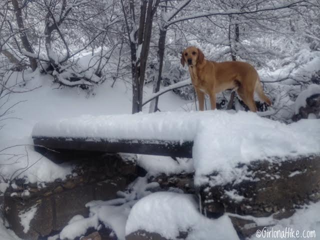
Cross bridge #2 – just after this bridge is where the trail begins to get even steeper. Have your 4 Must Have Items for Winter Hiking with you!
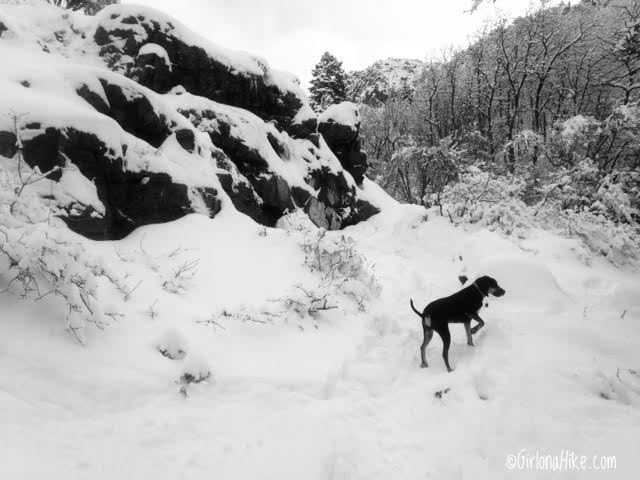
Copper, a Blue Tick coonhound, leads the way.
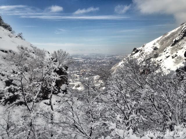
Don’t forget to look back down the canyon – you will have a great view of Ogden, UT.
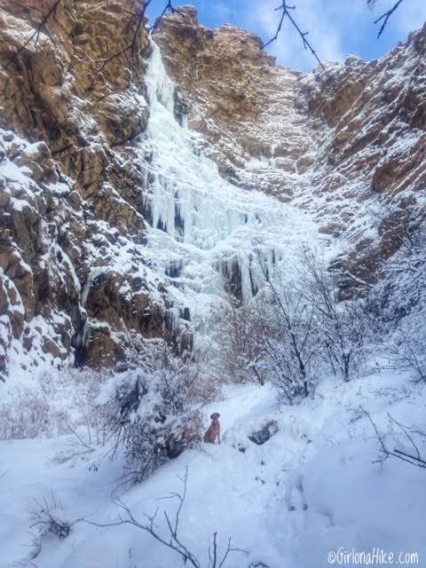
Ahh, the first view of the waterfall!
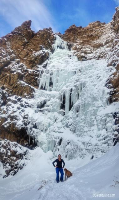
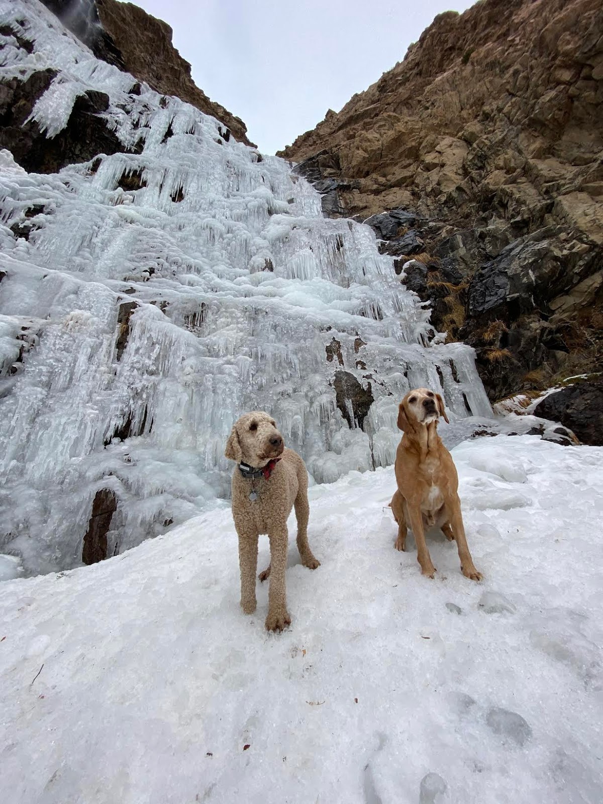
Charlie and I strike a pose in front of this massive frozen waterfall!
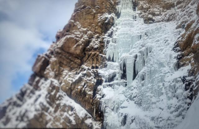
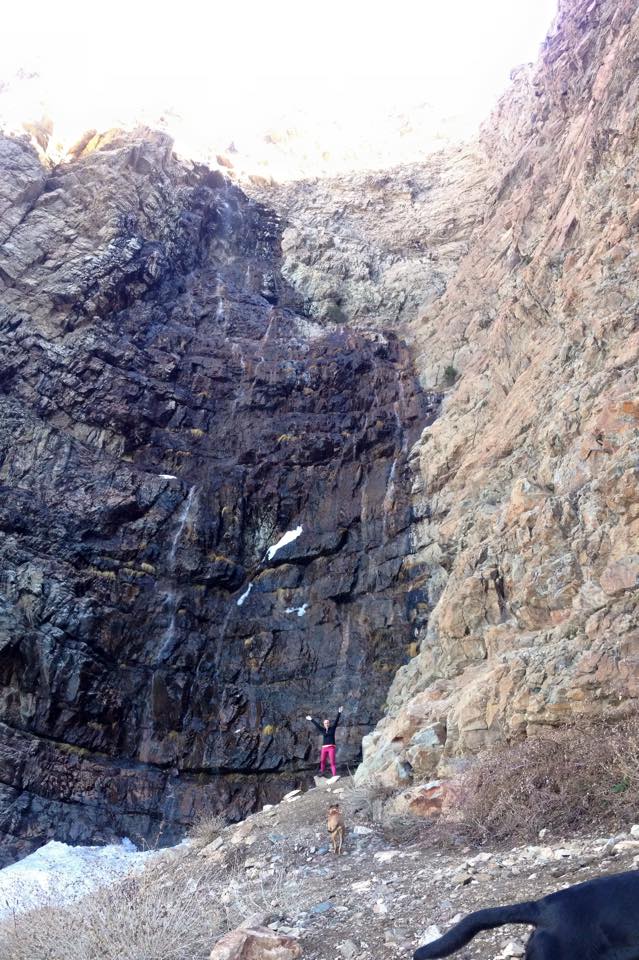
December 2019
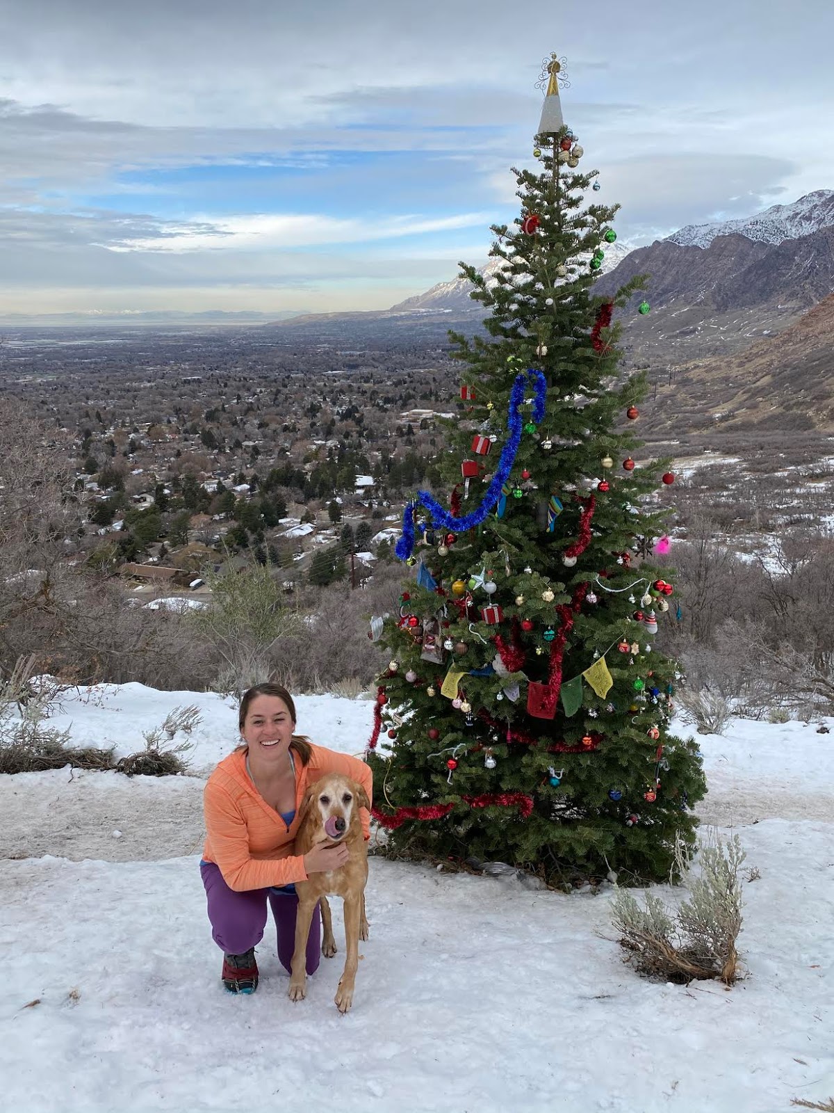
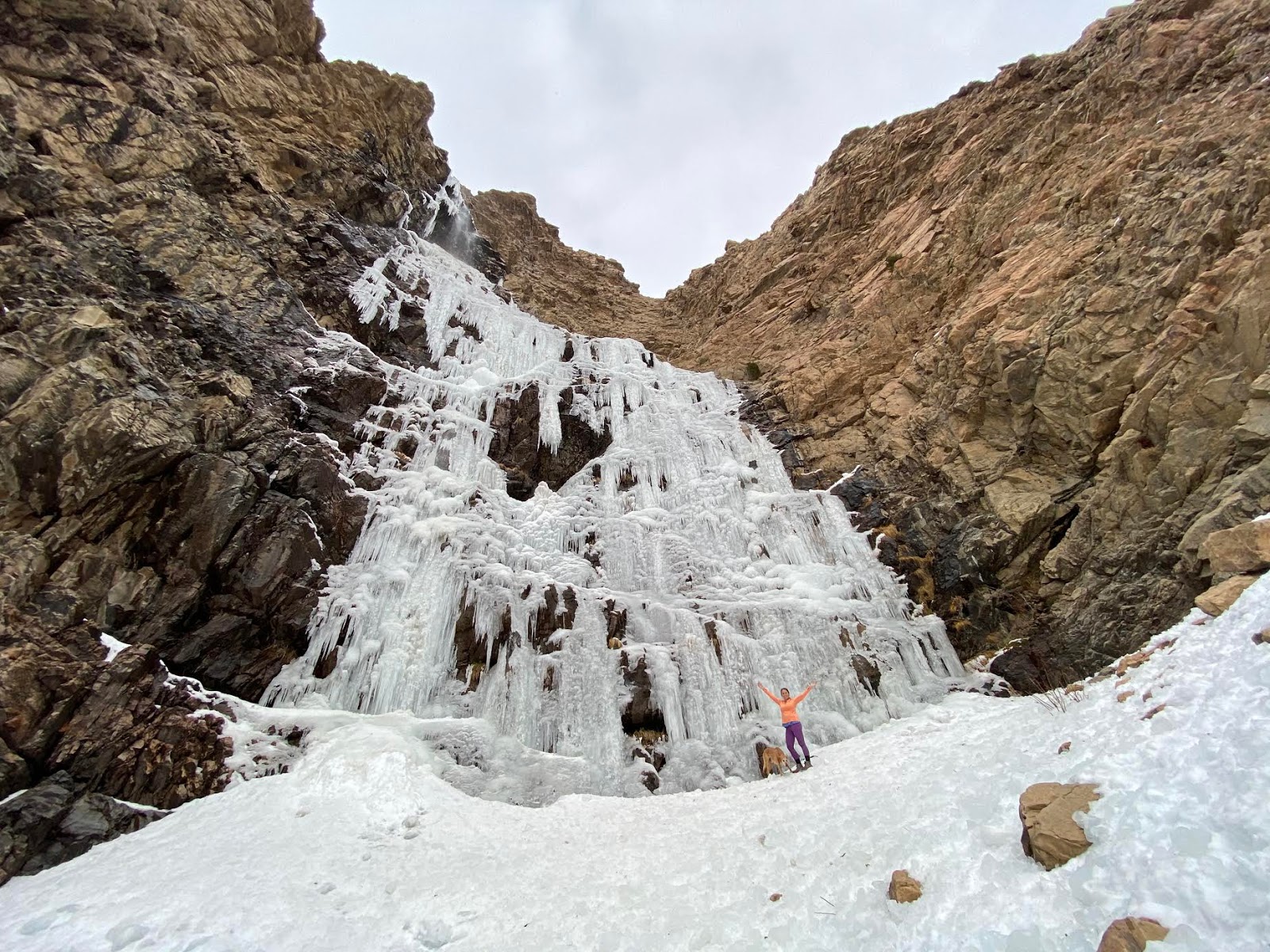
Love this in Winter!
Trail Map
Nearby Hike

Save me on Pinterest!
