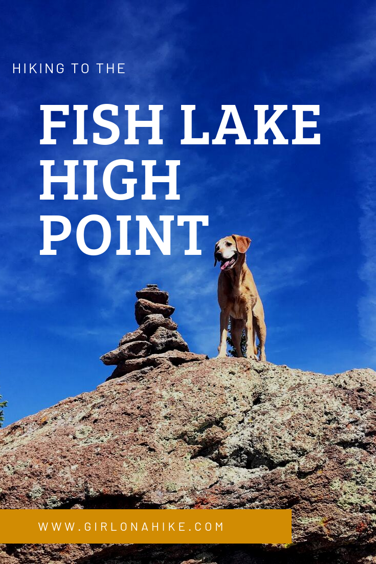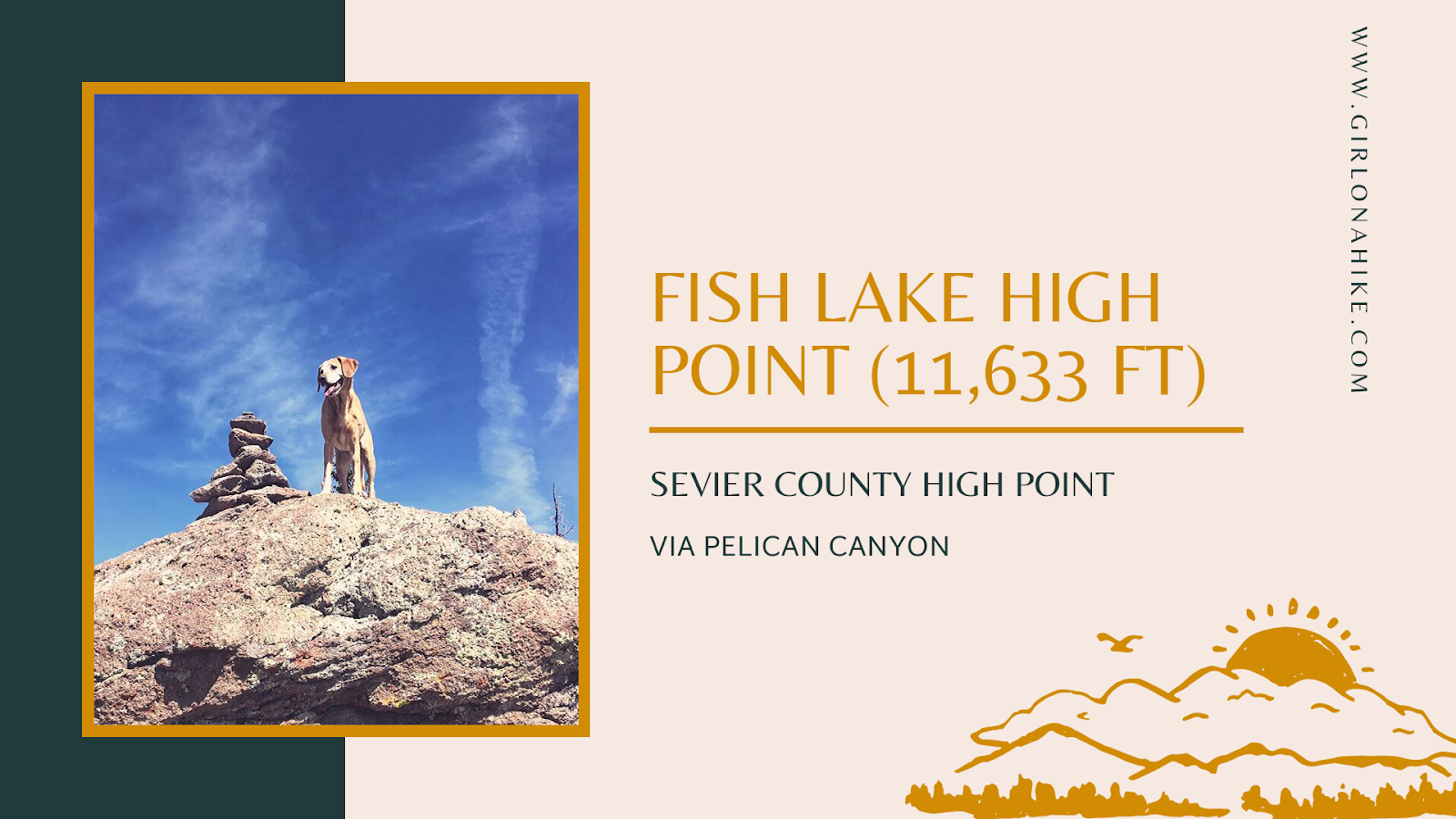
At 11,633 feet, Fish Lake Hightop is the highest peak in Sevier County and a must-do for those completing the Utah County High Points (CoHPs) list. I finally completed this peak as my last CoHP, and I was thrilled to finish the list!
About
A Long Journey to Complete the CoHP List
I began my CoHP journey with Deseret Peak in 2014, not even knowing about the CoHP list at the time. I just loved hiking to new places. It took years, but completing Fish Lake Hightop as my final peak was incredibly rewarding!
Best Time to Hike and Camping Recommendations
Summer and fall offer the best conditions for hiking Fish Lake Hightop, as the snow is gone and the trail is dry. The hike is dog-friendly (off-leash) and suitable for kids aged 9 and up.
There are plenty of campgrounds around Fish Lake, though we stayed at Doctor Creek Campground. While it’s perfect for RVs, the campground has limited tent space, with only one site large enough for multiple tents.
Directions to Fish Lake Hightop Trailhead
From Salina, UT, head south on HWY 24.
Turn left at the “Fish Lake” sign.
After 10 miles, turn left onto FR034/Pelican Overlook and park at the end of the road.
High-clearance vehicles are recommended for reaching the overlook. If you have a small car, park lower and walk up to the trailhead.
Here is a driving map.
Trail Info
Distance: 9 miles RT
Elevation gain: 2,400 ft
Time: 5-7 hours
Dog friendly? Yes, off leash
Kid friendly? Yes, ages 9+
Fees/Permits? None
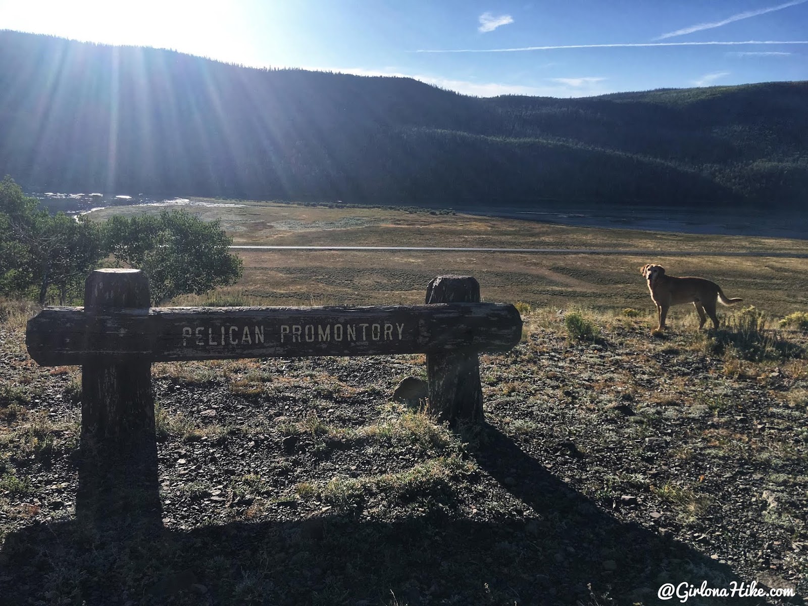
The trail begins at Pelican Point (aka Promontory) at the East end of Fish Lake.
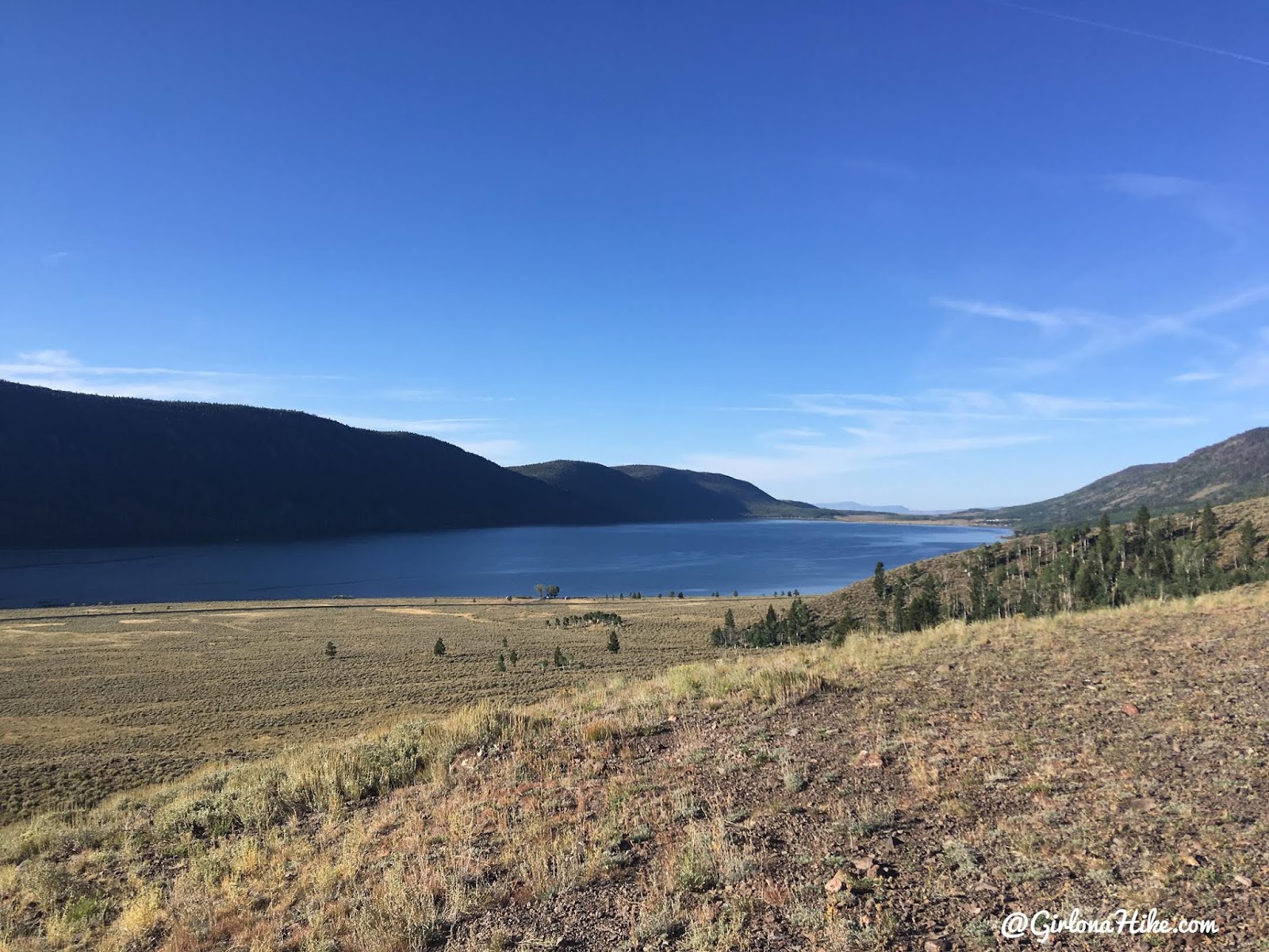
Great views of Fish Lake to the West.
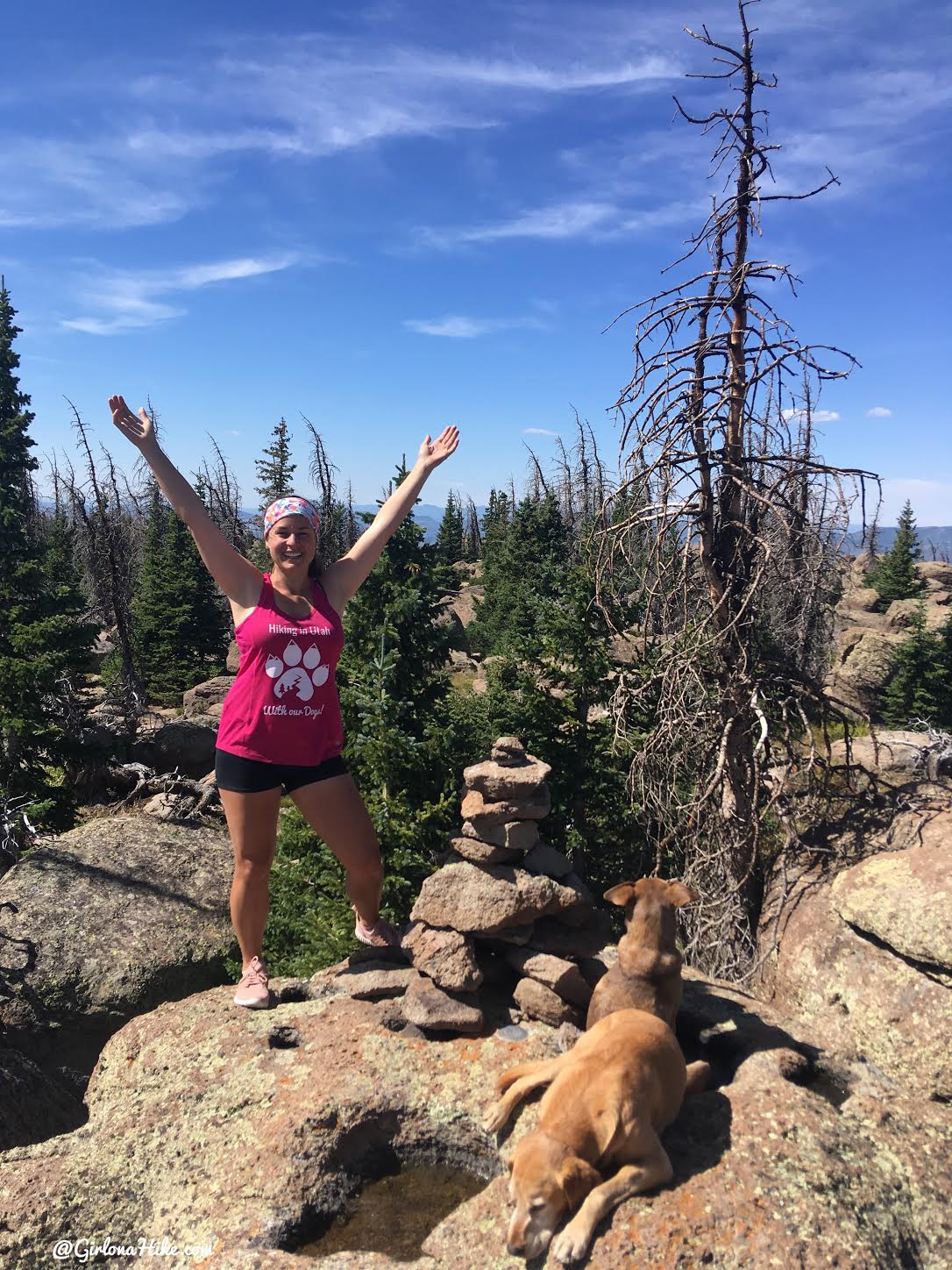
Here we go, last CoHP!
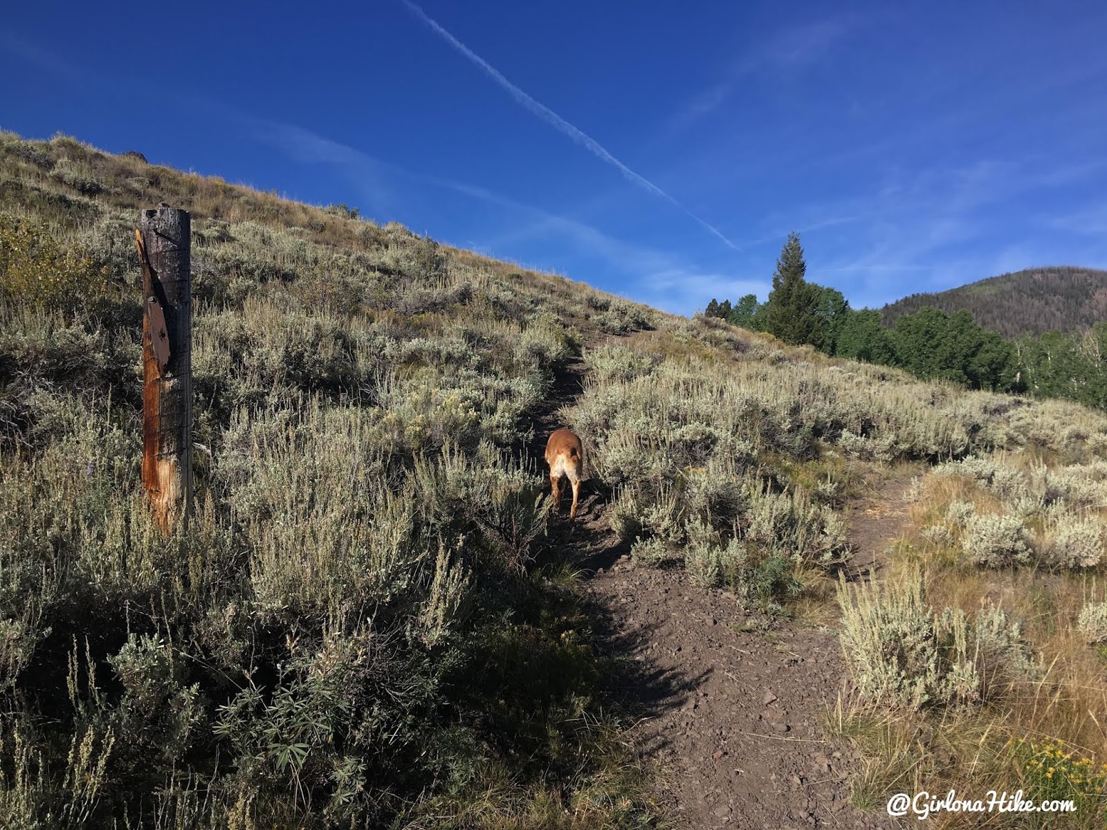
Within the first two minutes you’ll reach the first trail split. There is no sign (just this wood stick), but stay left.
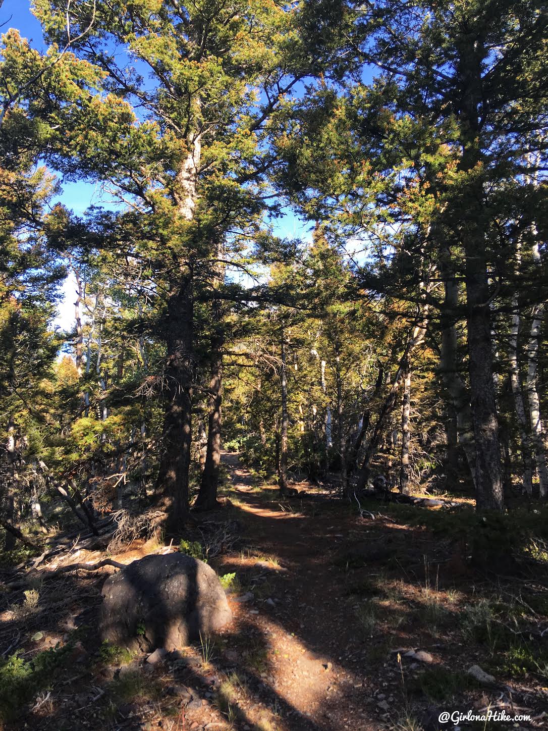
The trail is very shaded.
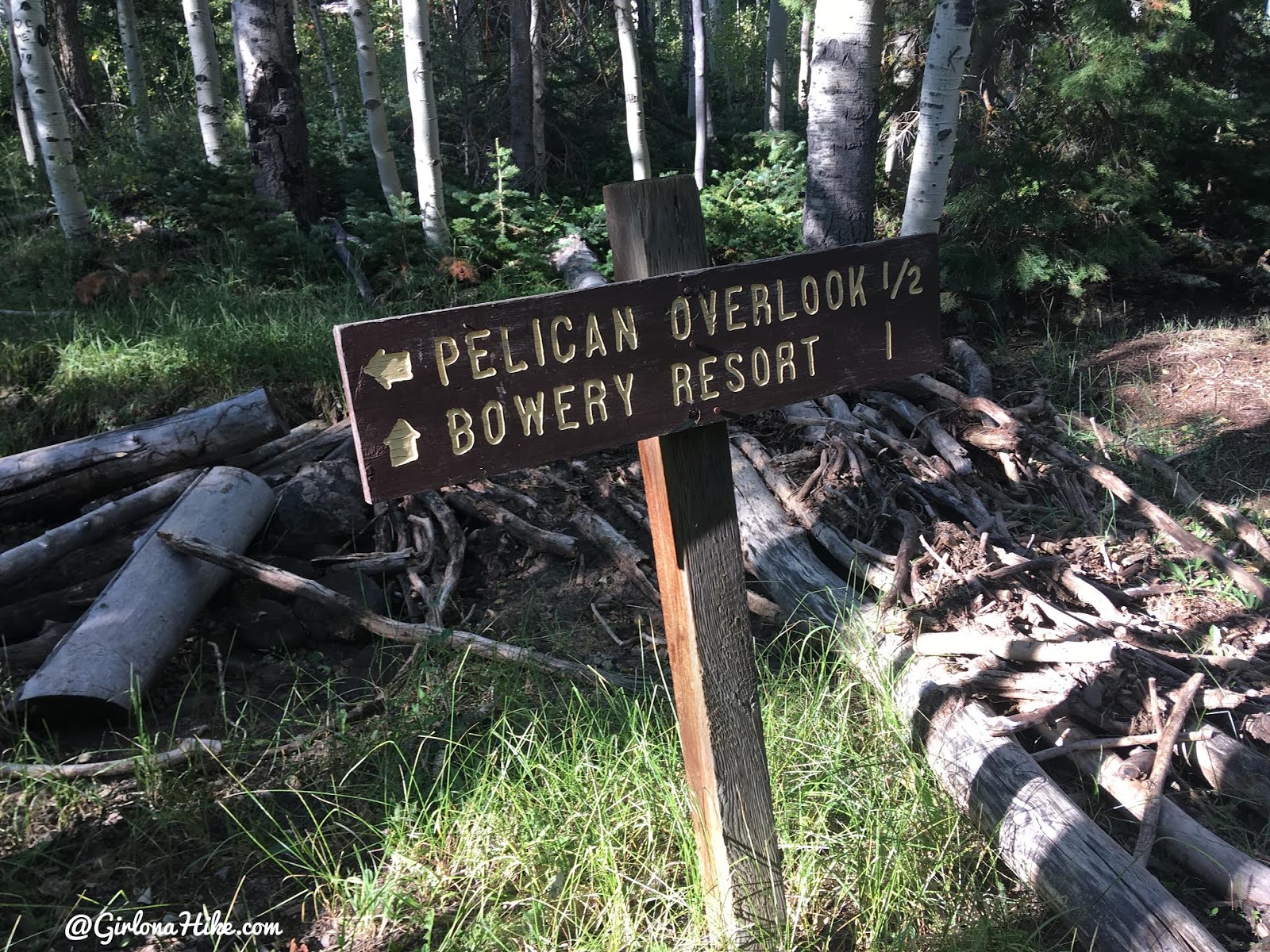
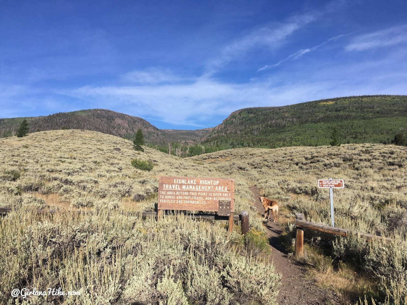
At 0.5 mile, keep straight/right up the canyon. Turning left takes you down to the Bowery Resort & Campground.
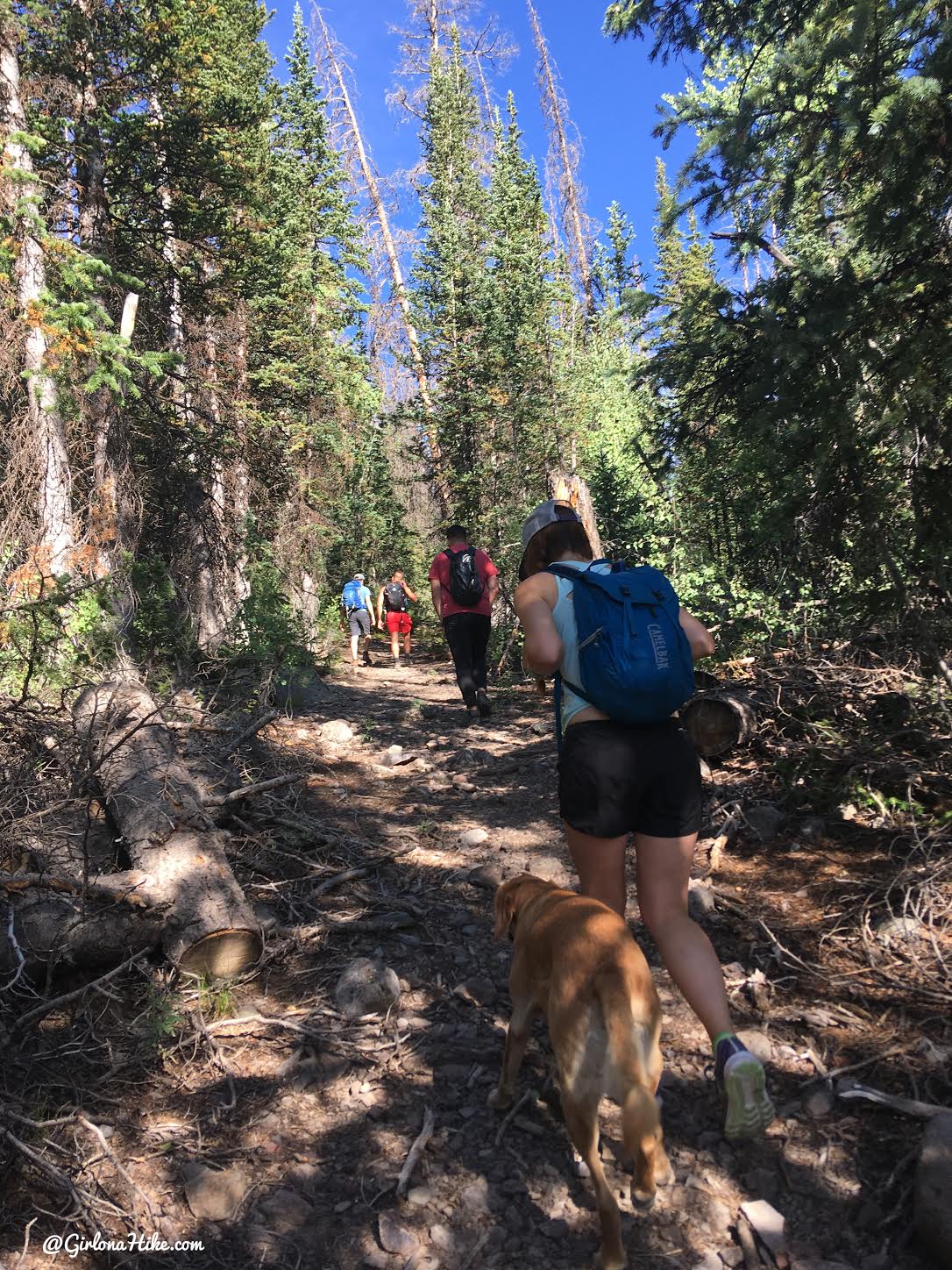
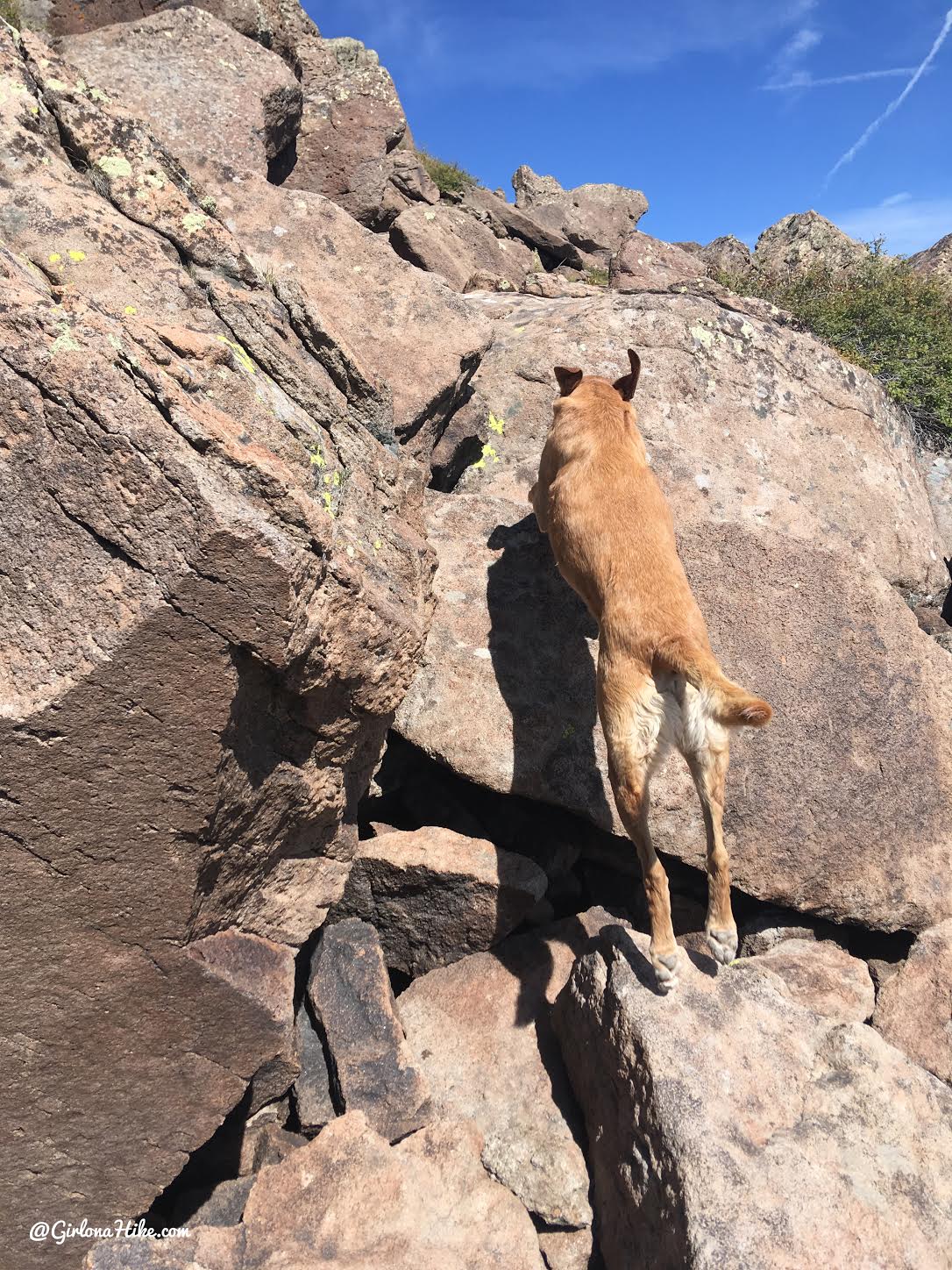
As you progress, the trail gets steeper but remains shaded for the most part. Sections of the trail are rocky, adding a bit of a challenge.
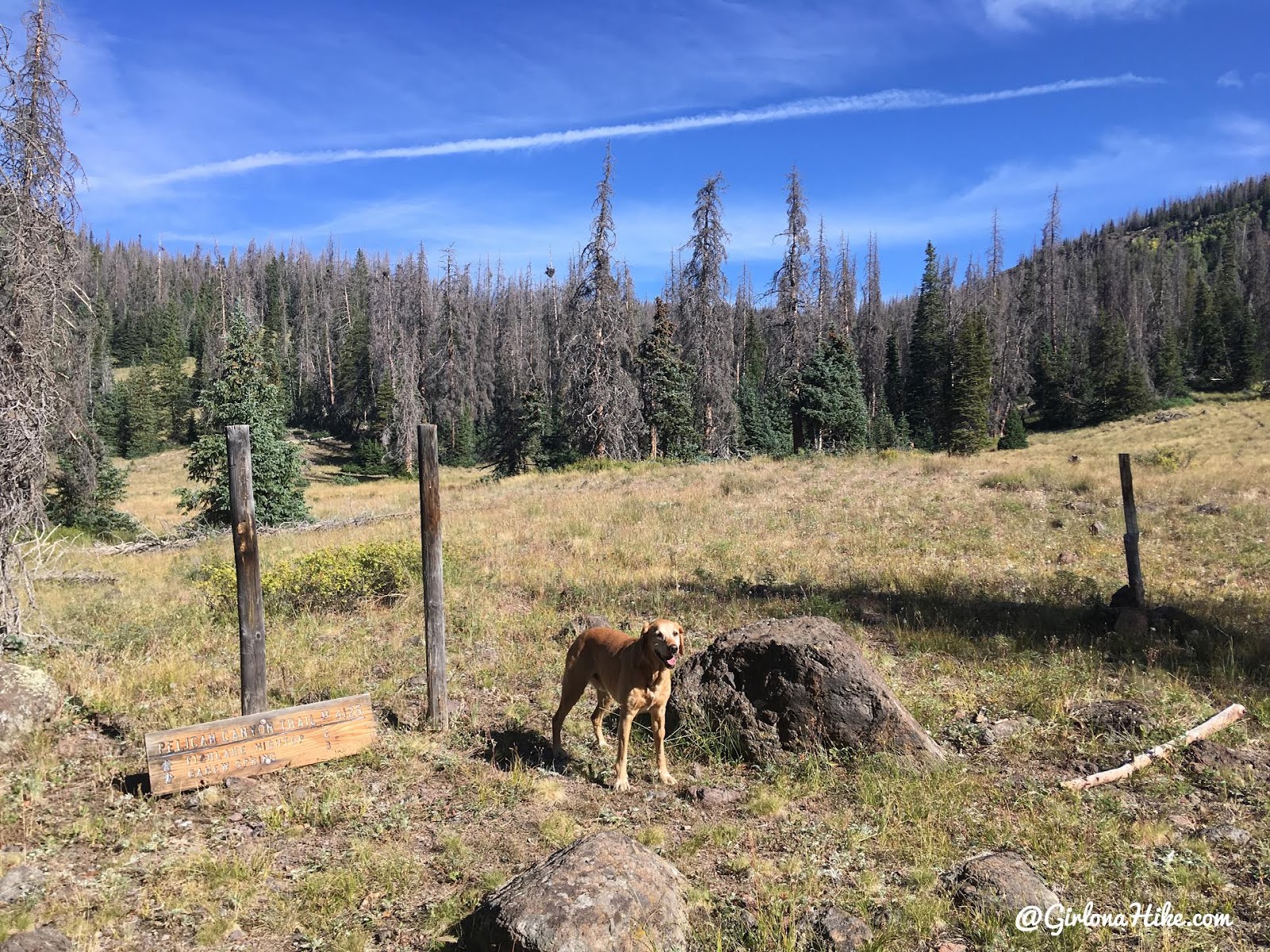
At mile 2.3 miles reach another trail split. Stay right this time.
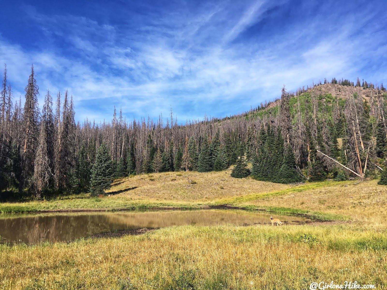
Just off to the left is a pond. It’s pretty mucky but the dogs didn’t mind since they could cool off for a minute. There was also very old cabin remnants near here as well.
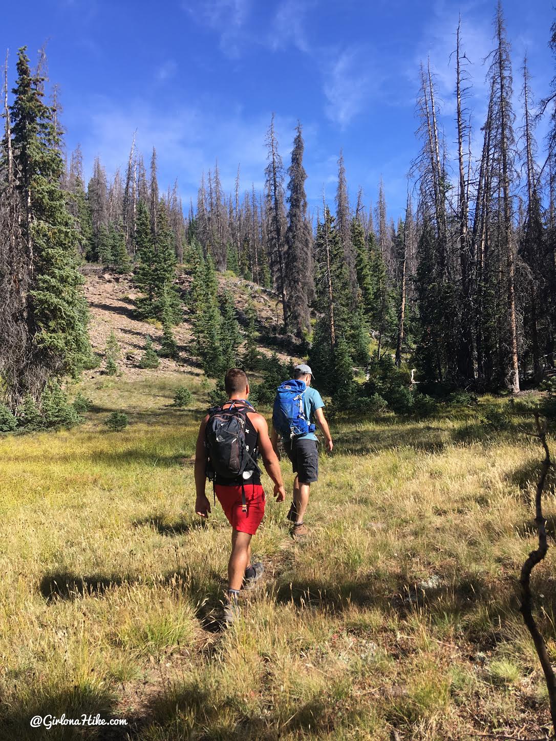
Now the next mile goes up more steep hills but also through flat meadows.
Hike up a few small switchbacks.
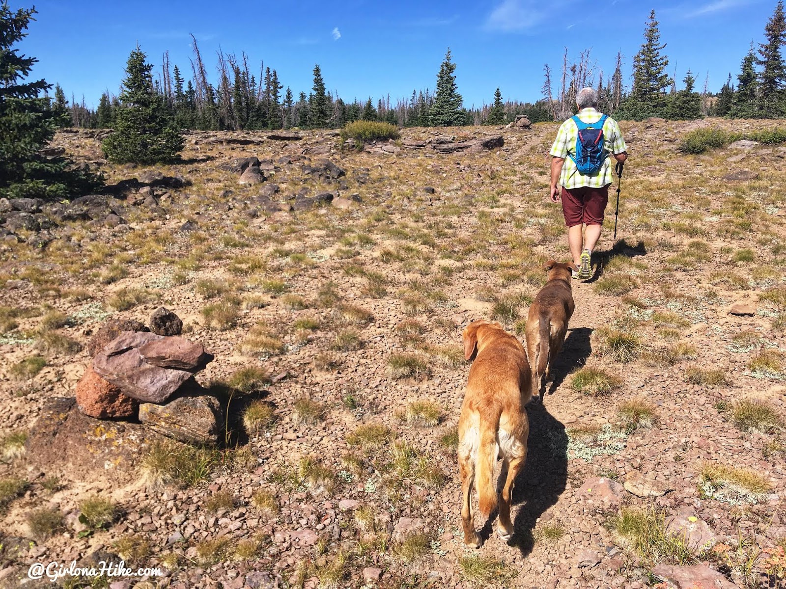
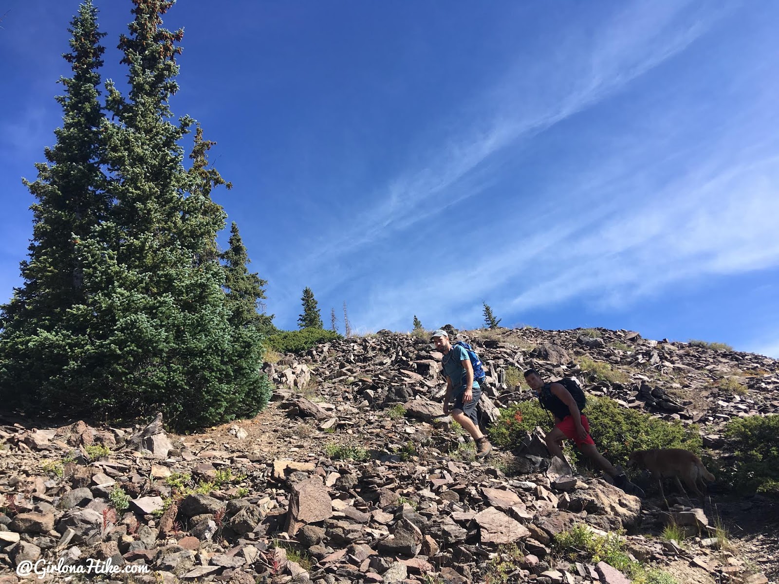
Near the summit, the trail becomes less distinct but is well-marked with large cairns.
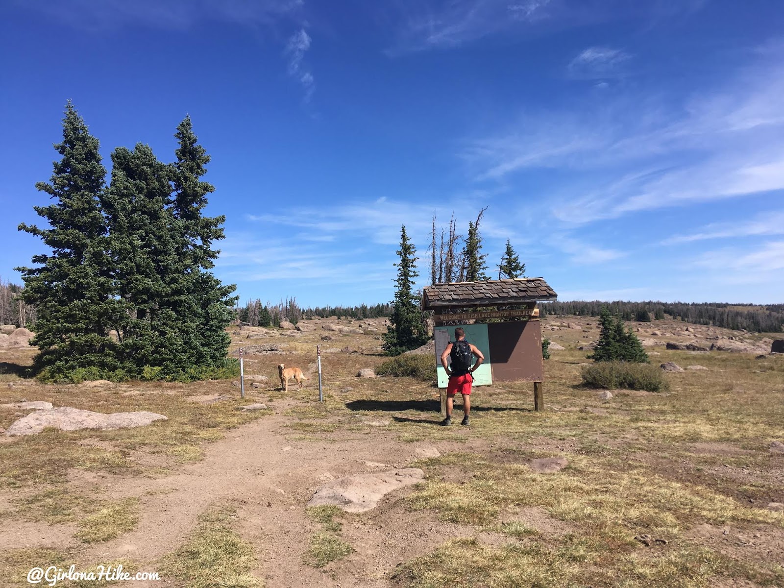
Eventually, about 1/2 mile from the summit we saw this sign. It only shows a pretty inaccurate map, so we kept hiking. From the sign hike North (left).

Here we go, final push to my last CoHP!
A few boulders to jump over.
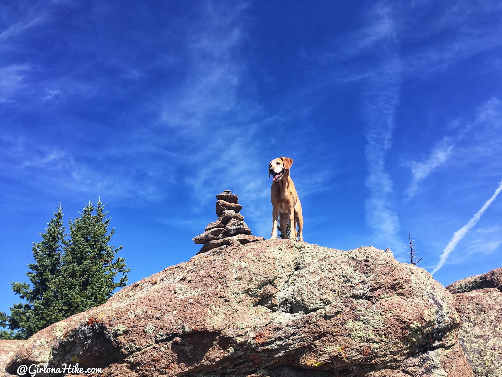
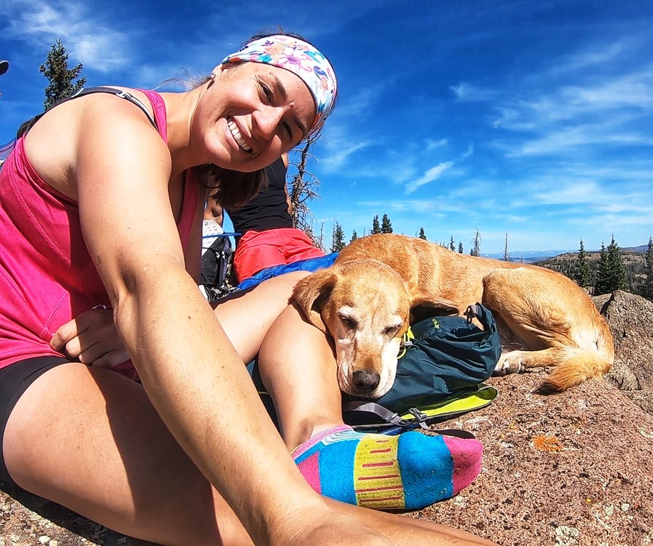
Dang it, Charlie beat me to the last one! But look how happy he is! Does he know he’s done with the CoHPs??
And then there were zero CoHP left for me to summit! Charlie went from happy to sleepy quickly hahah!
Whoo hoo! I did them all! So excited to be done and I can’t believe I’ve now literally been to every part of Utah. What’s next? Stay tuned for my next project, launching in 2020!
Conclusion: A Major Accomplishment
Completing the entire CoHP list was a huge achievement, and I’m thrilled to have hiked to every corner of Utah.
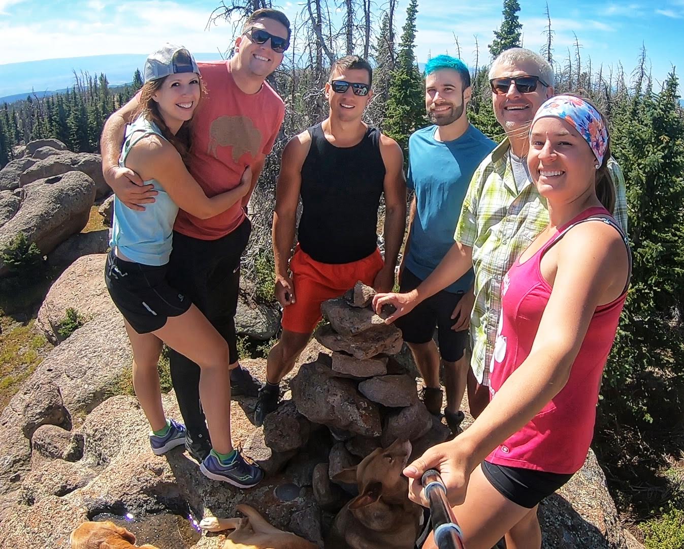
Thank you friends for joining me on my last one! They all joked that they would now call me “Girl who used to hike” haha! Stav, in the red shorts, joined us all the way from Las Vegas and he runs his own blog, Stav is Lost, and has done 15! Penny and Nick completed CoHP #13, David (blue shirt) only has one more to go, and Dan (next to me) has completed #11! Such a great way to make new friends and all have a goal in common.
Earlier this year David asked if I was interested in doing a few CoHP together and of course I said yes, but it also gave much a ton of motivation to complete the list this year. In 2019 alone I did 11 CoHPs, so I really kicked it into gear. I had done all the bigger peaks, so most of the peaks this year were on the easy side, even driving to about three or four of them.
Charlie completed all the CoHPs with me except American Fork Twin Peaks, and thats only because dogs aren’t allowed up there. Way to go Charlie! He says his next goal is to sniff out new places for us to hike to!
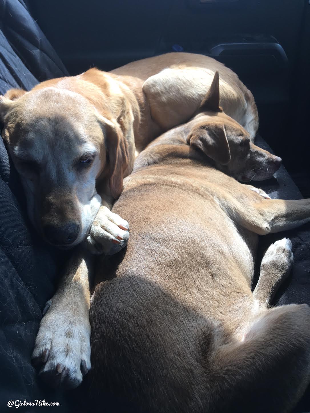
Best way to recover from all those peaks? Snuggling with your buddy who has done close to half with you!
Trail Map
My track via Gaia GPS – the best tracking app! Get your app here for a discount.
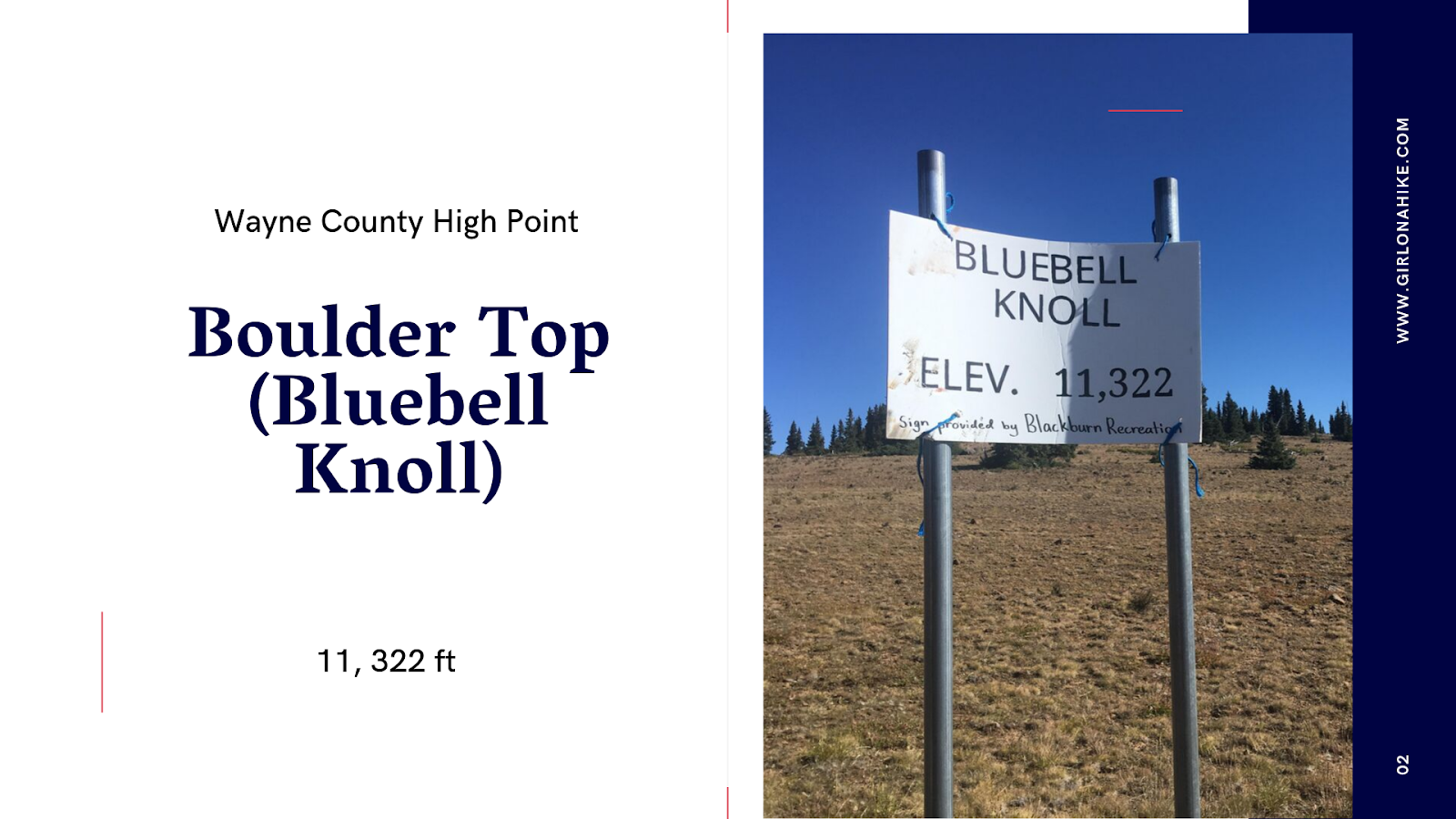
Nearby Hike
Boulder Top (Bluebell Knoll), Wayne County High Point


Save me on Pinterest!