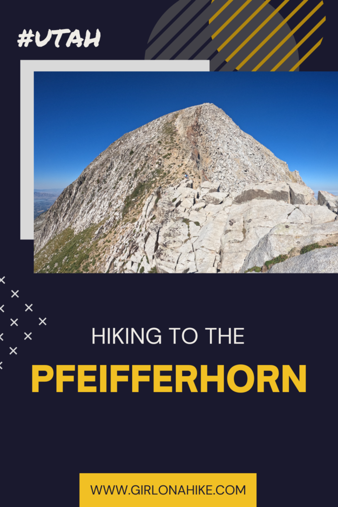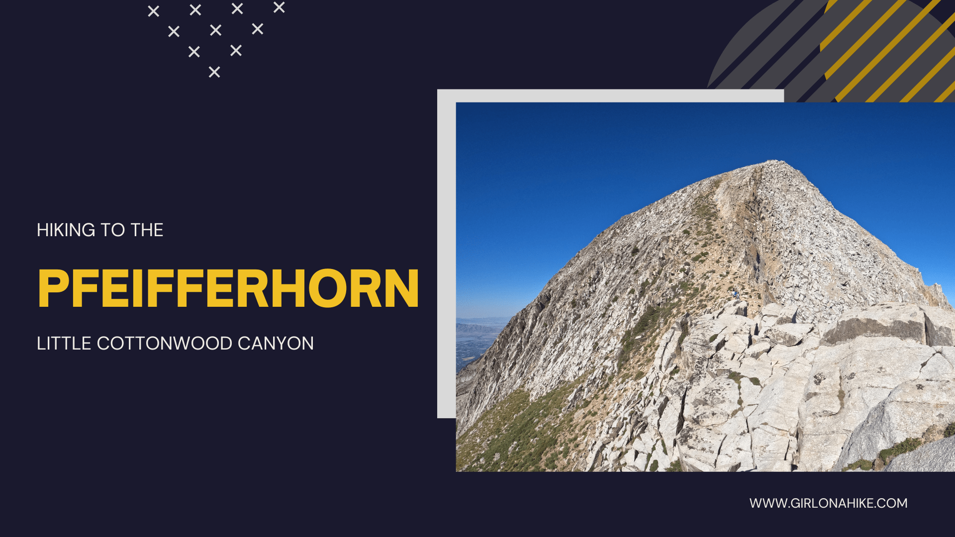

Hiking to the Pfeifferhorn in Little Cottonwood Canyon is a peak baggers dream! This peak sits at an elevation of 11,329 ft!
About
The trail follows forested route that passes an alpine lake, Red Pine Lake, before reaching the ridge, and then hiking across a knife-edge right before the summit!
Hiking to the Pfeifferhorn is NOT for the beginner hiker. This 11 mile hike is long and steep, and generally requires a full day to complete. You should be comfortable hiking across big boulders along the ridge. For many people, this is a turning point where they decide not to continue. However, it is really not that bad and I highly recommend you go with someone who has done it before to show you the way. While the knife edge itself is not steep, I would consider this a class 3 scramble since all fours are needed. Everything you carry should be tucked inside your pack so things don’t fall out.
The best time of year to hike to the Pfeifferhorn is generally June through October. Dogs are NOT allowed in Little Cottonwood Canyon (LCC) at all, so leave the pups home for another hike.
Directions
From the mouth of LCC, drive up 5.3 miles and turn right at the sign for the White Pine TH. Here’s a driving map. Arrive before 530am on weekends to get a parking spot, otherwise you can park along the main road.
Trail Info
Distance: 11 miles RT
Elevation gain: 3500 ft
Time: 7- 9 hours
Dog friendly? No, dogs are not allowed in LCC at all due to watershed laws
Kid friendly? Ages 12+ with peak bagging experience
Fees/Permits? None
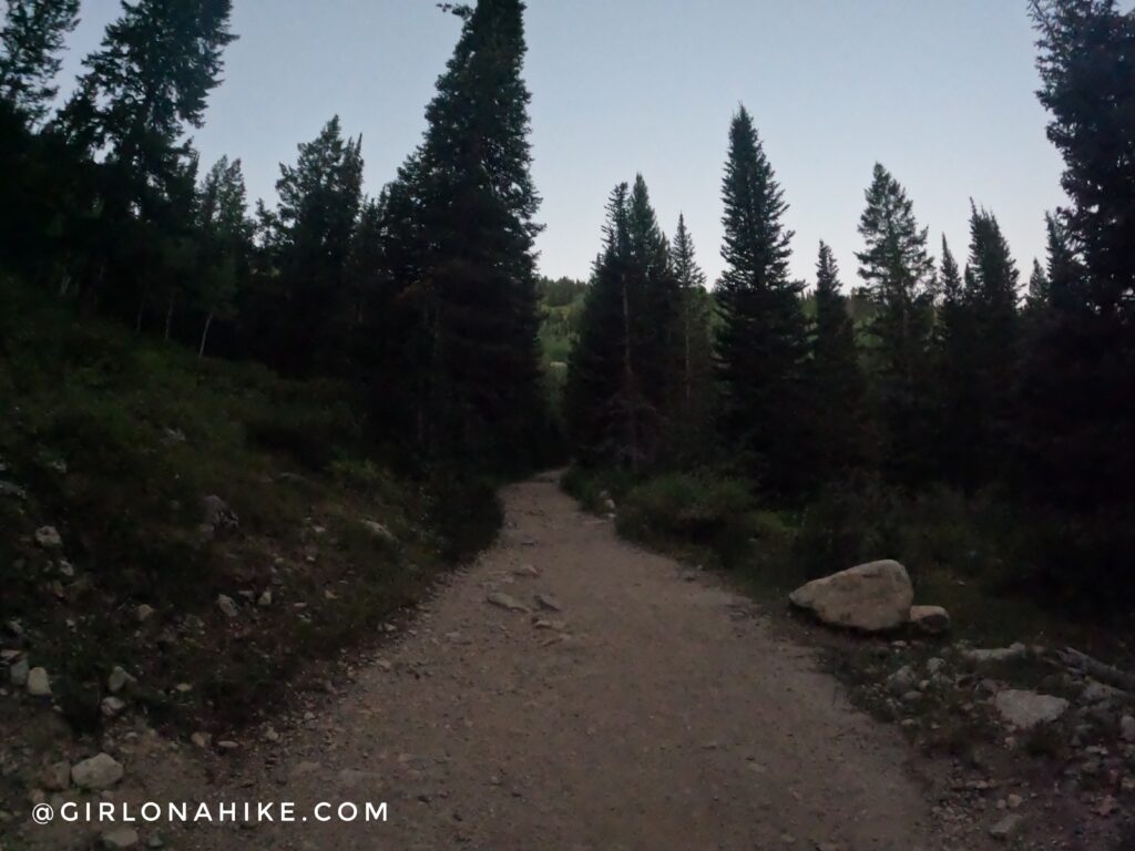
The trail starts behind the port-a-potty, and you will follow a very wide old dirt road for the first mile.
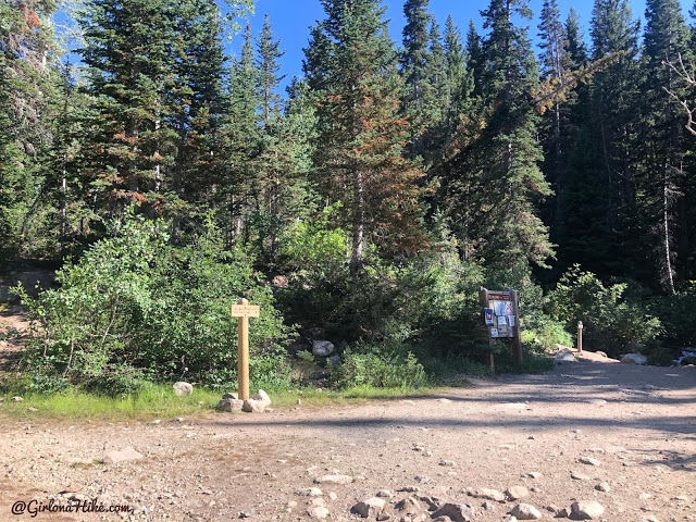
When you reach the first trail split, stay right and the trail curves around the big brown sign.
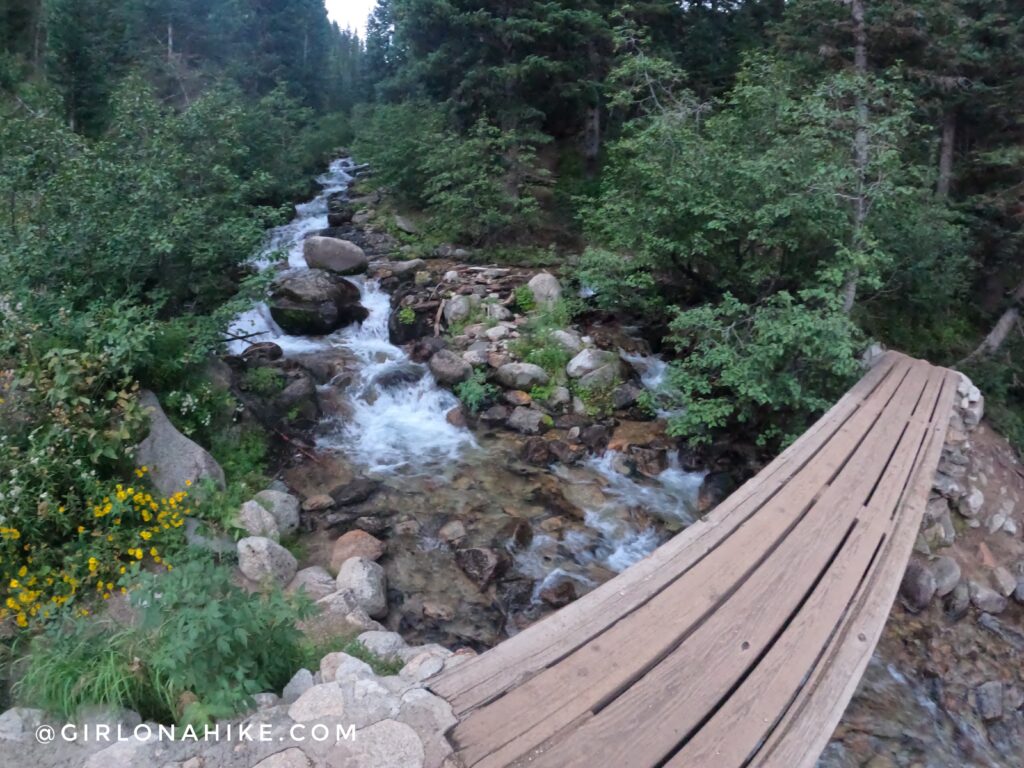
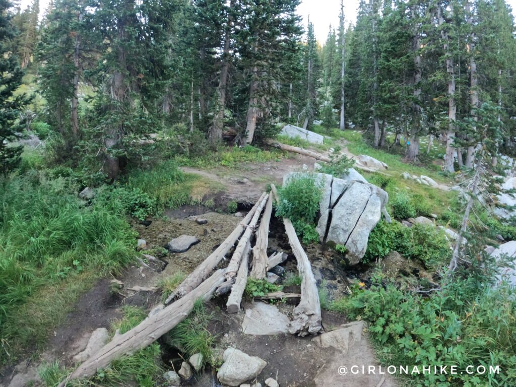
Cross the bridge!
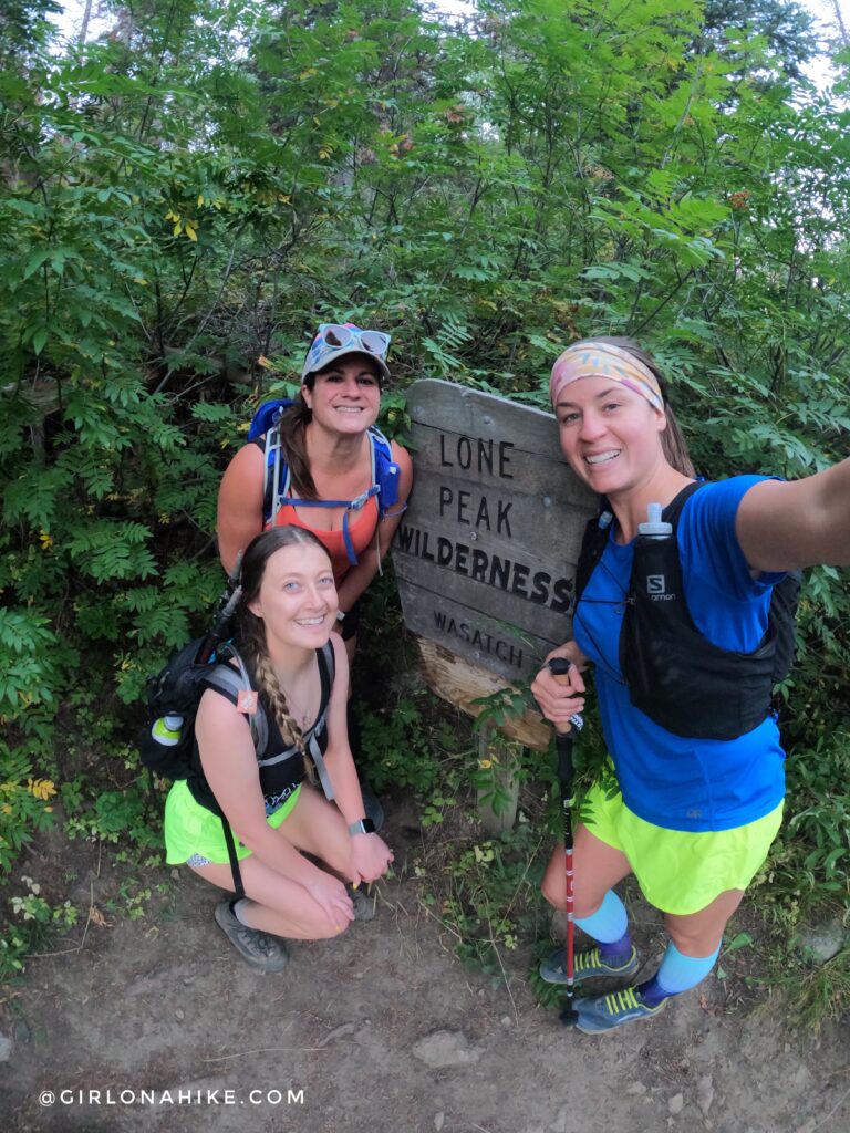
First group shot of the morning at the Lone Peak Wilderness sign! Mack and I did NOT plan on matching with out neon yellow shorts lol! We got lots of comments about them being bright….please keep those to yourself – they’re not funny.
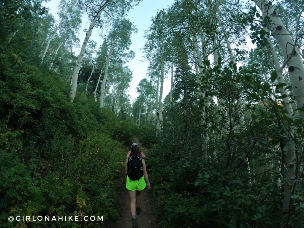
The trail is pretty well shaded under Aspens.
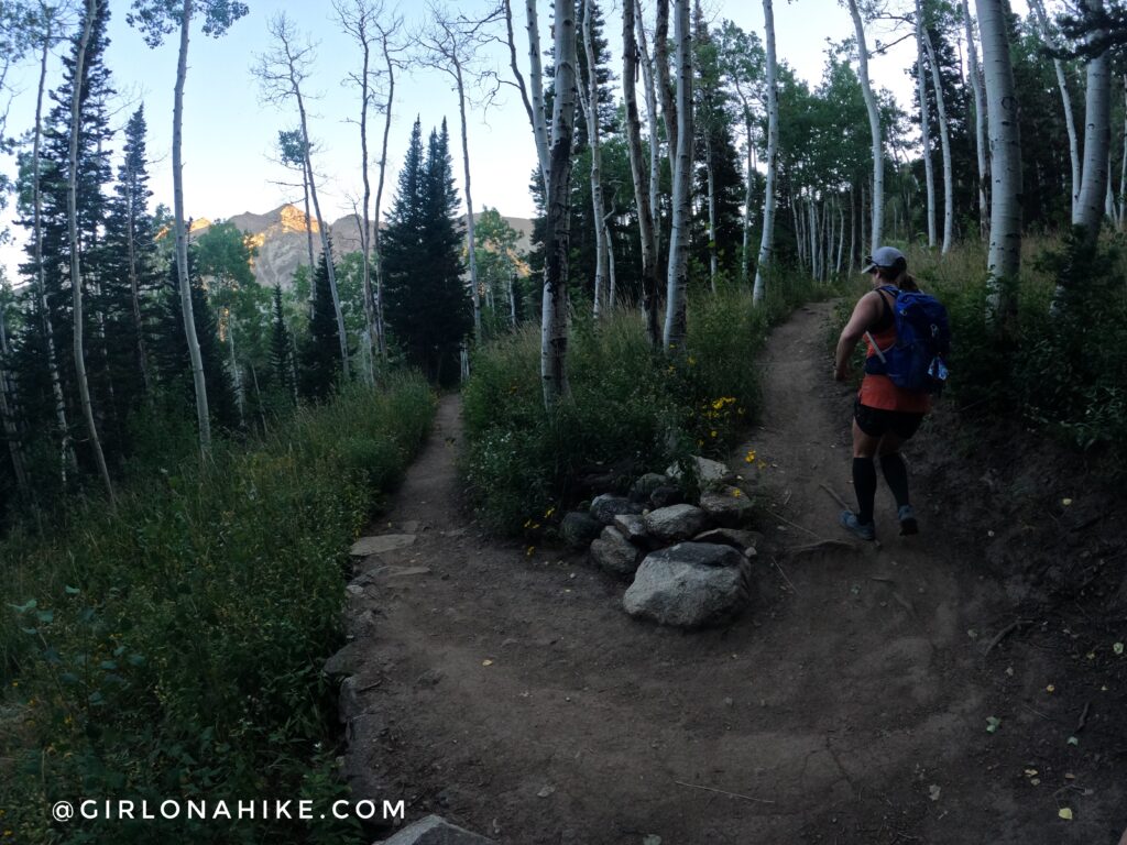
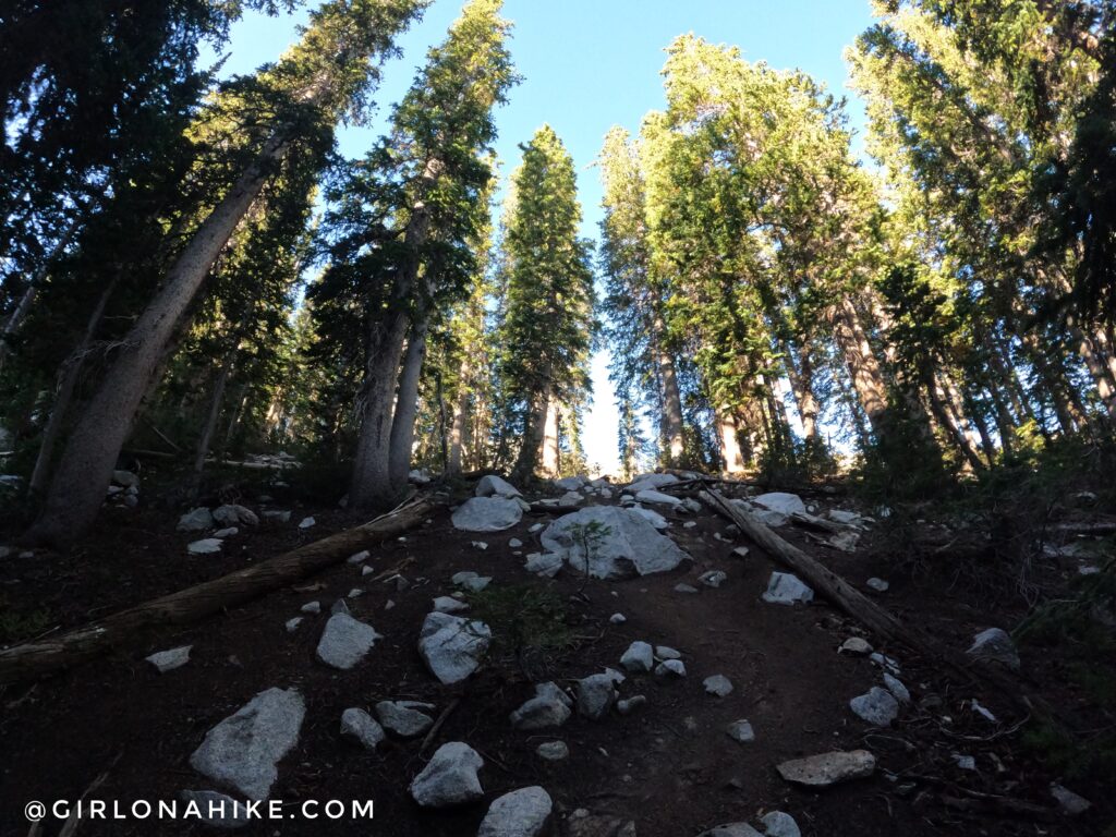
After you hike up a few switchbacks the trail gets steep.
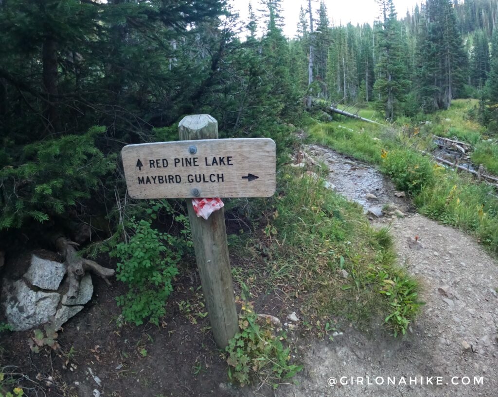
Second trail split – stay straight for Red Pine Lake & the Pfeifferhorn!
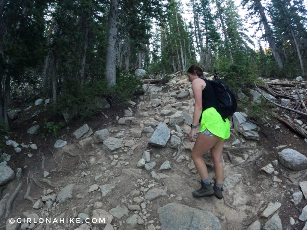
The trail turns into what feels like steep stair climbing. Big steps, over medium sized boulders.
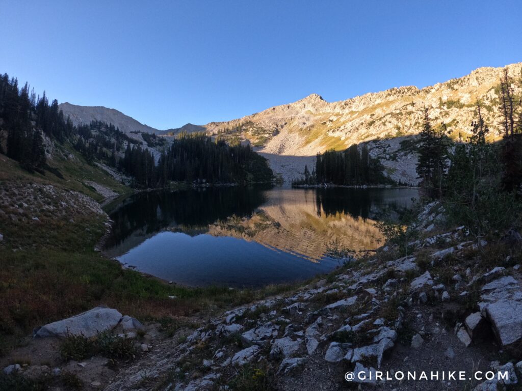
Red Pine Lake! But we’re not done…continue to the other side of the lake to keep following the trail for the Pfeifferhorn. From here, you will basically be aiming for just below the peak in the distance along the ridge in the sun.
On the other side of the lake cross the really small stream.
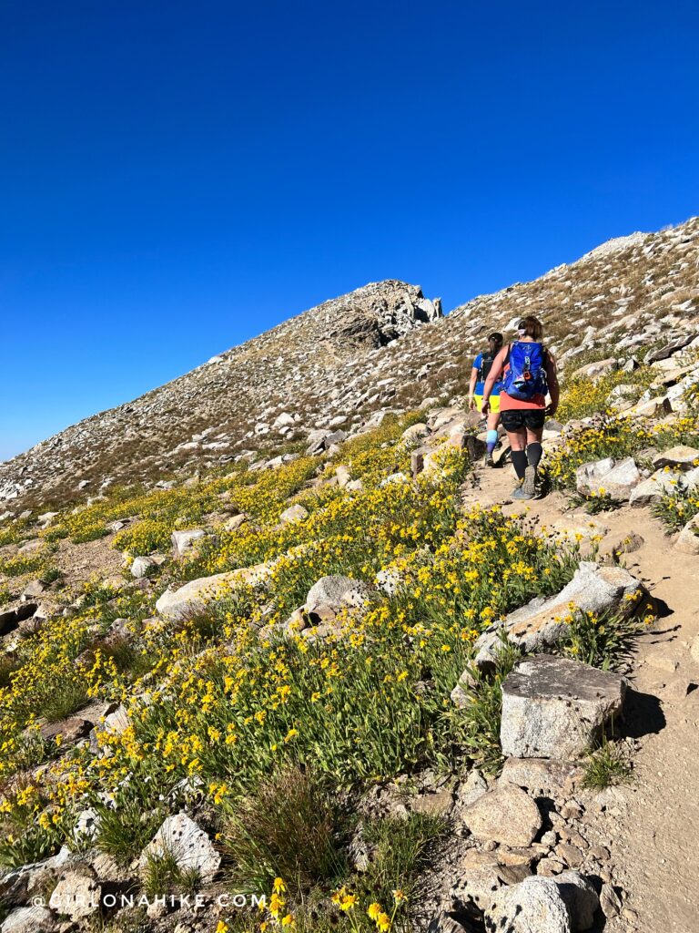
There are several trails but keep to what seems like the main one and look for shoe prints. If you’re not sure where to go, there’s typically always people hiking this since the Pfeifferhorn is so popular and you can tag along with others.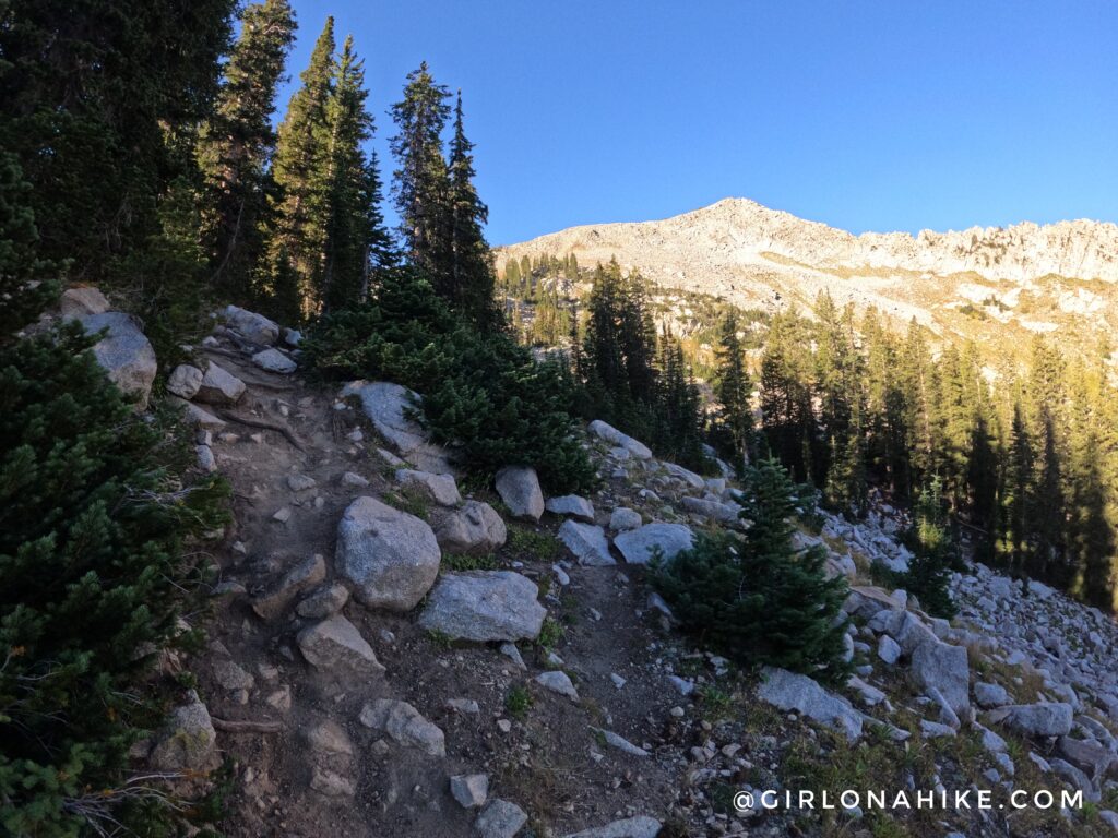
The trail is pretty steep, but stays in the shade, especially if you start really early.
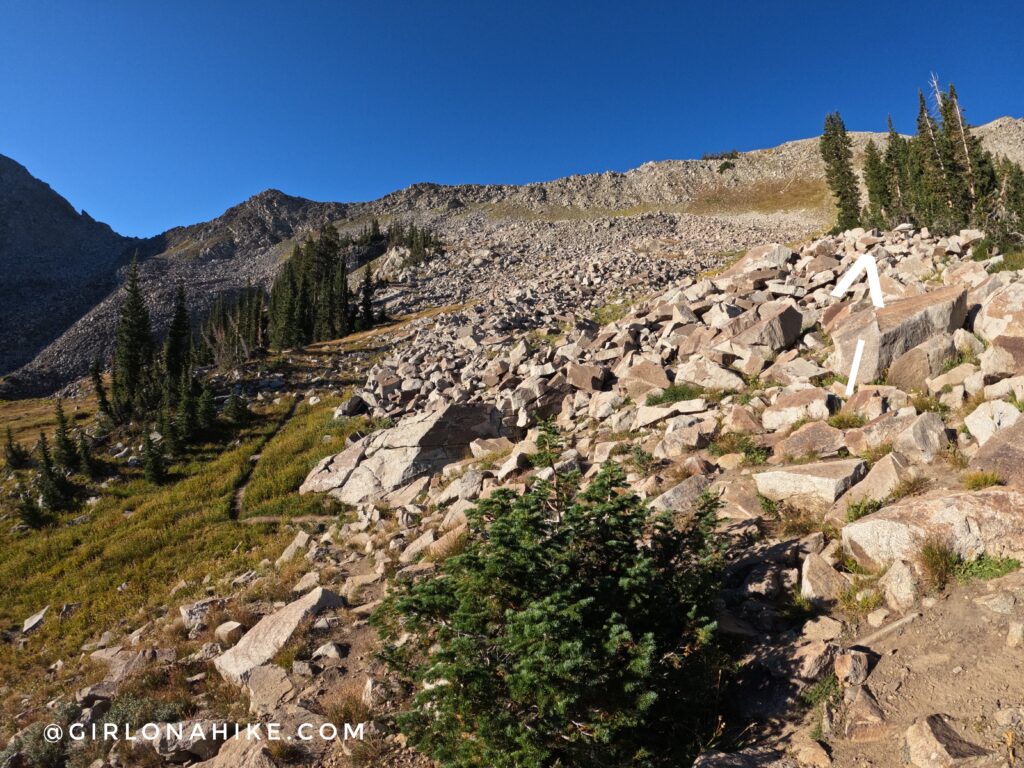
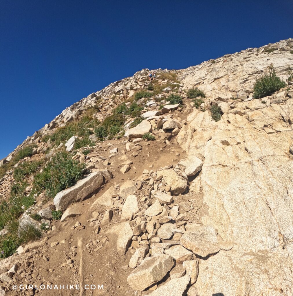
You’ll come to this spot where you can now see the ONLY clearly defined trail ahead. Up to this point, the trail is not this well traveled looking. DO NOT GO STRAIGHT! Turn right, and follow the spine-ridge leading up to the trees. You will see a dry pond to the left. This is how you will know when to turn right (West).
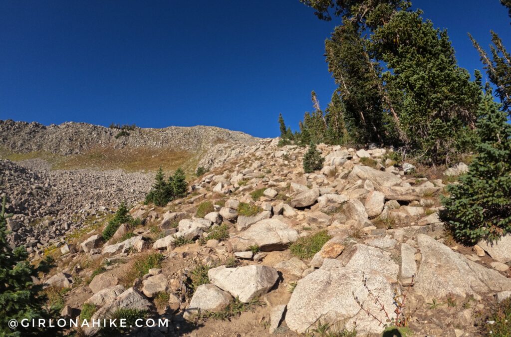
Thought the trail was steep before? Now it’s extra steep as you make your way up this spine to meet the next ridge.
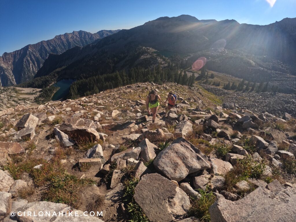
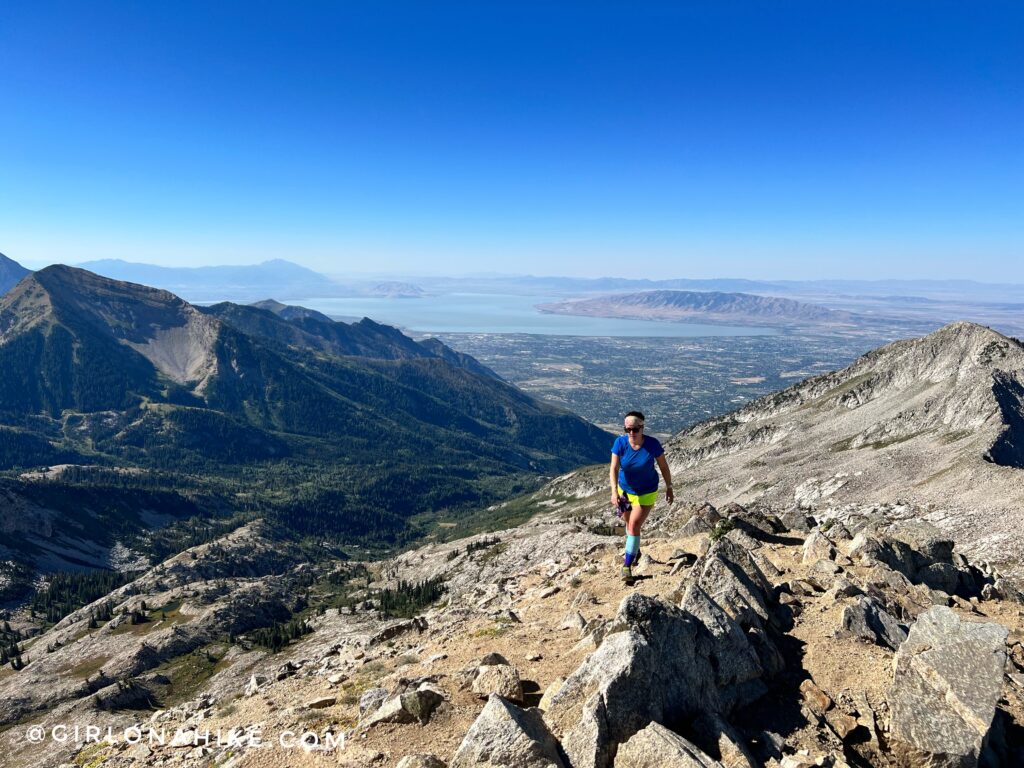
You will start to get really good views of the area. I put my poles away in my pack at this point so that I could use my hands if needed.
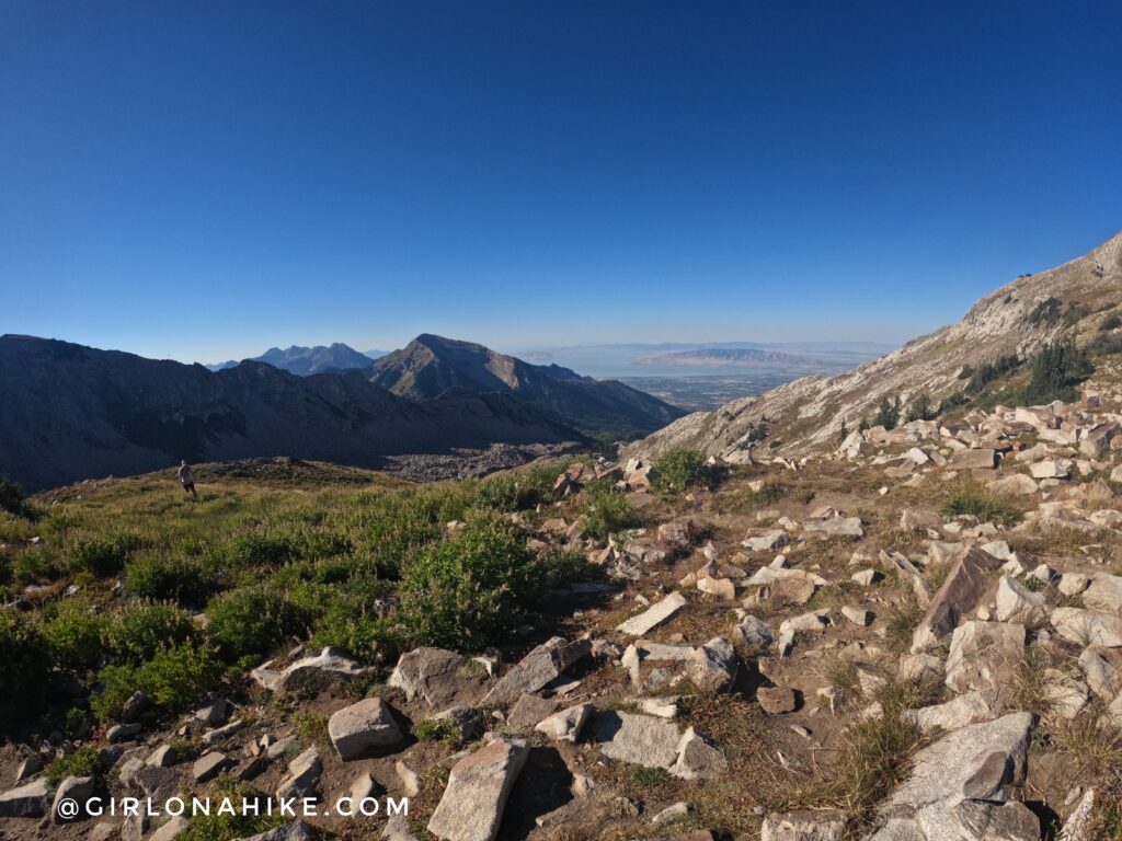
Finally up on the main Little Cottonwood Canyon ridge! Now you should be able to see Utah Lake, Mt.Timpanogos, and Box Elder Peak!
Turn right and follow the trail.
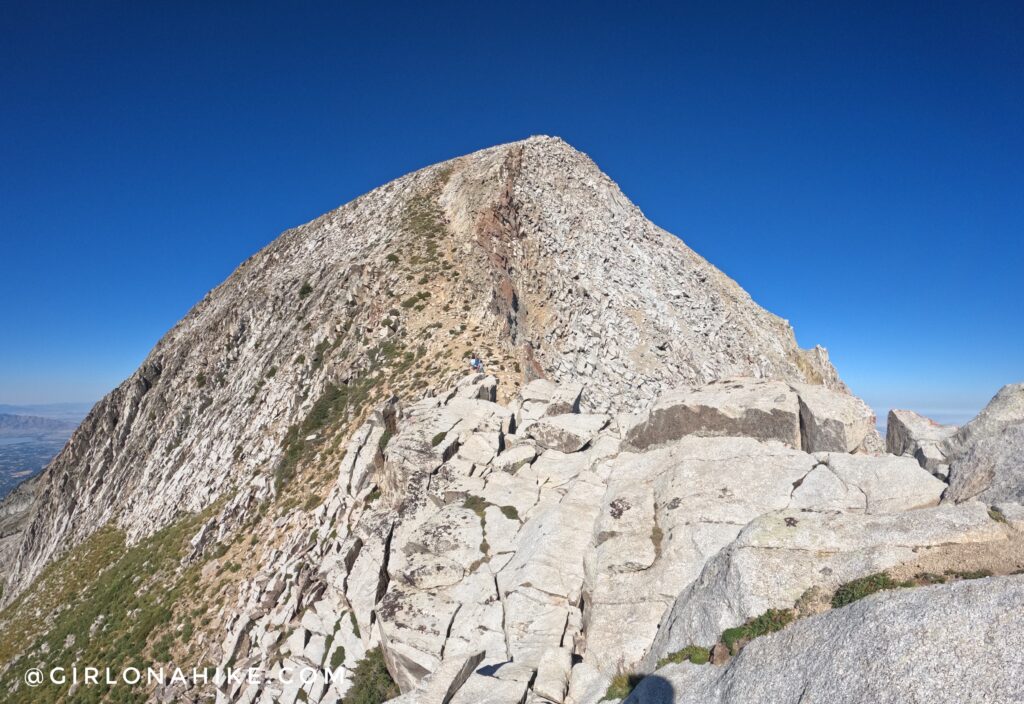
This is where the fun begins – the knife edge. Make sure you put everything in your pack that could potentially fall out, as well as your phone and poles. You WILL need to use all-fours.
I highly recommend wearing compression socks – they will save your calves on this steep hike!
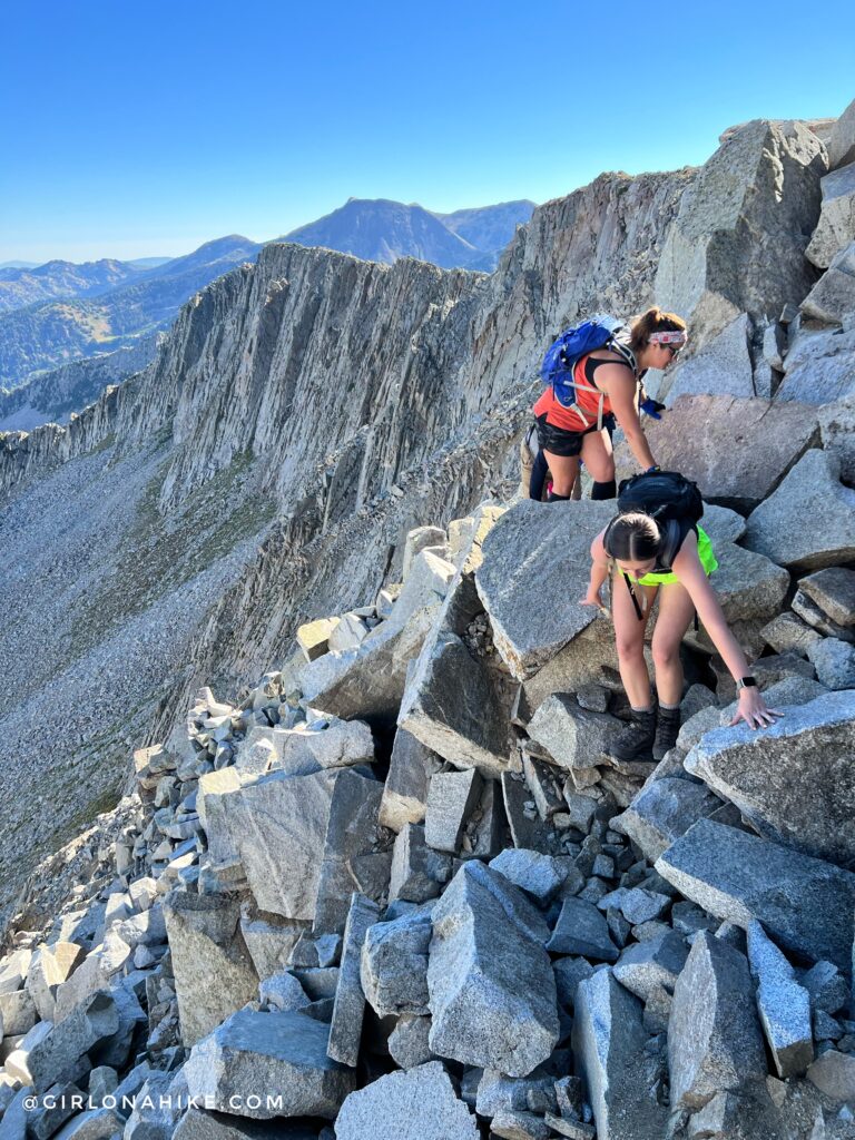
Stay high on the ridge – the lower you drop the more sketchy it gets plus you will just have to hike right back up. Gloves are useful to protect your hands.
Once past the ridge, the next section is also quite steep but turns to dirt. Slowly work your way up, leaving some space in between people in case you kick rocks down accidentally. Always alert others if you do kick rocks out.
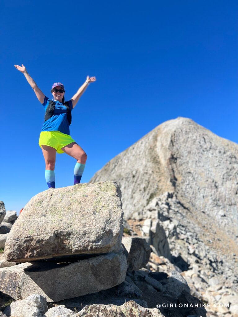
On the summit of the Pfeifferhorn woot woot! This is looking South West.
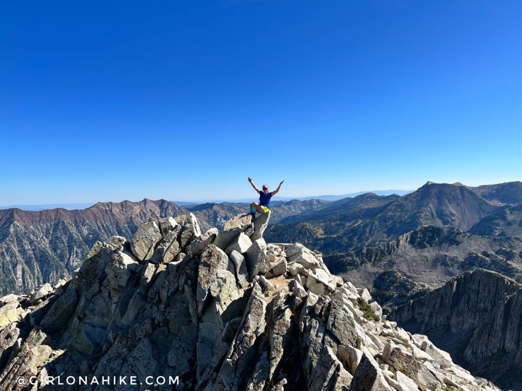
The “famous” spot to get your picture on the summit of the Pfeifferhorn. This is looking East.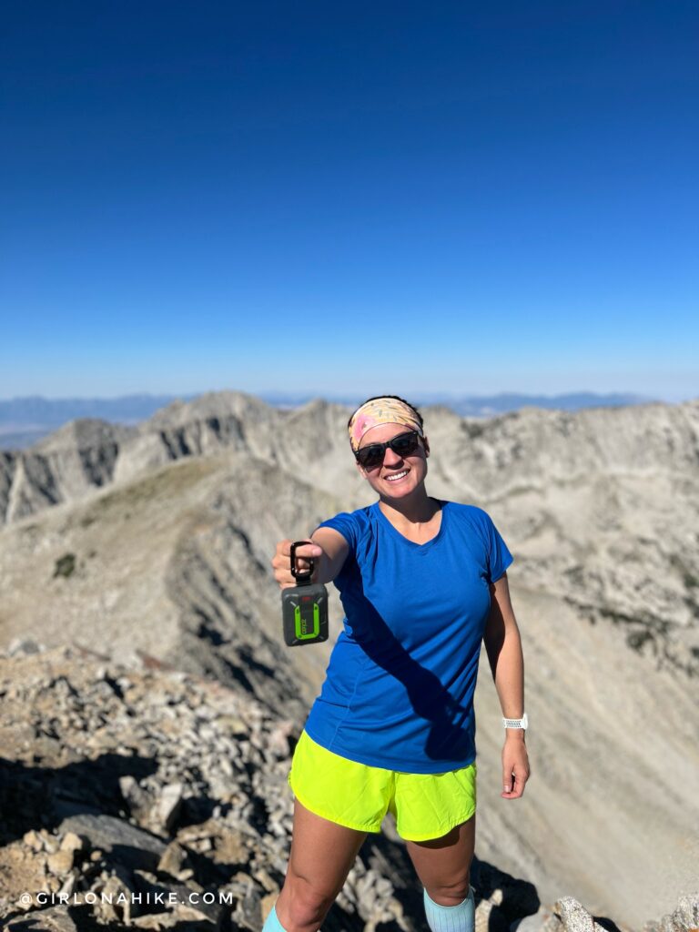
I never leave home without my ZOLEO satellite communicator! You never know when or if something will happen, plus its always good just to check in my partner to let him know we made it ok!
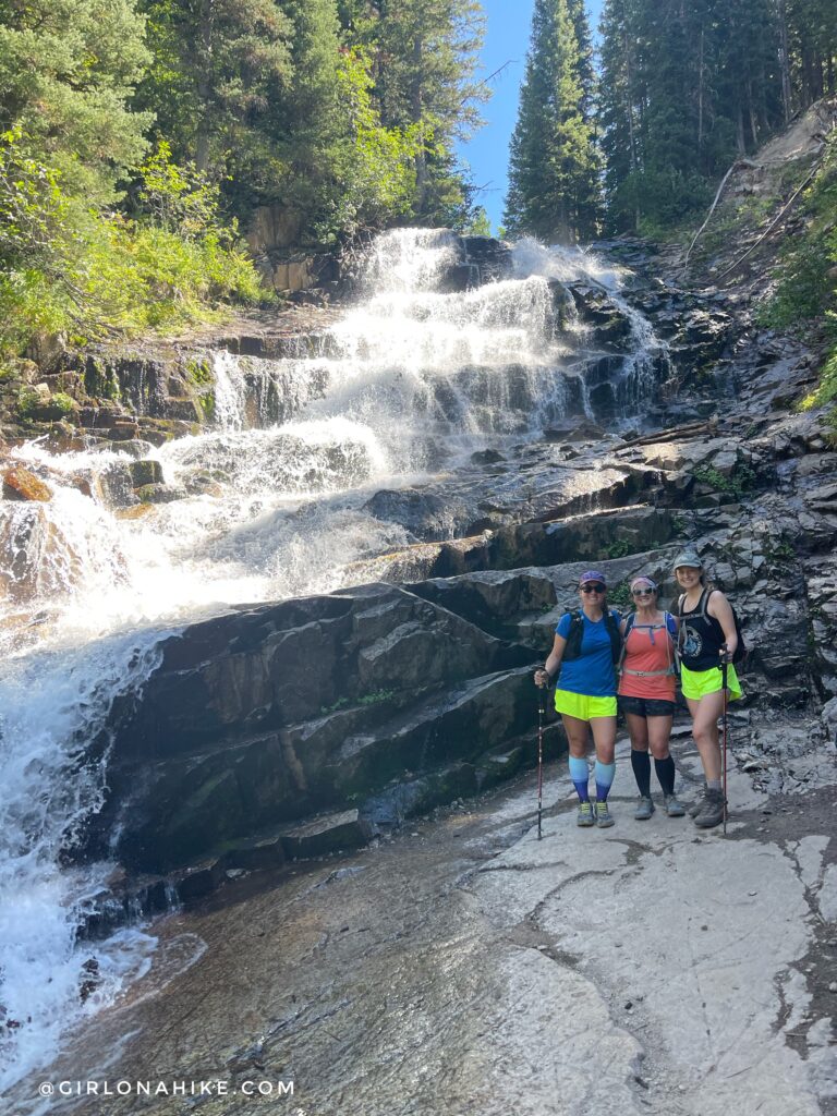
On the way back down we stopped by Gloria Falls – a great way to end the day after summiting the Pfeifferhorn!
Check out my video!
Trail Map
My track via Gaia GPS – the best tracking app! Get your app here for a discount.
Nearby Hike
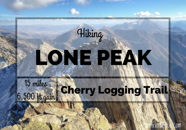
Hiking to Lone Peak via Cherry Logging Trail

Save me on Pinterest!