
About
Directions
Drive all the way up Big Cottonwood Canyon (BCC) until you reach the end of the road where Brighton Ski Resort it. Park at the main lodge where there is a giant TH sign and map.
Here is a driving map.
Trail Info
Distance: 6 miles RT
Elevation gain: 1800 ft
Time: 2-4 hours
Dog friendly? No, dogs are not allowed in BCC
Kid friendly? Yes, ages 8+
Fees/Permits? None
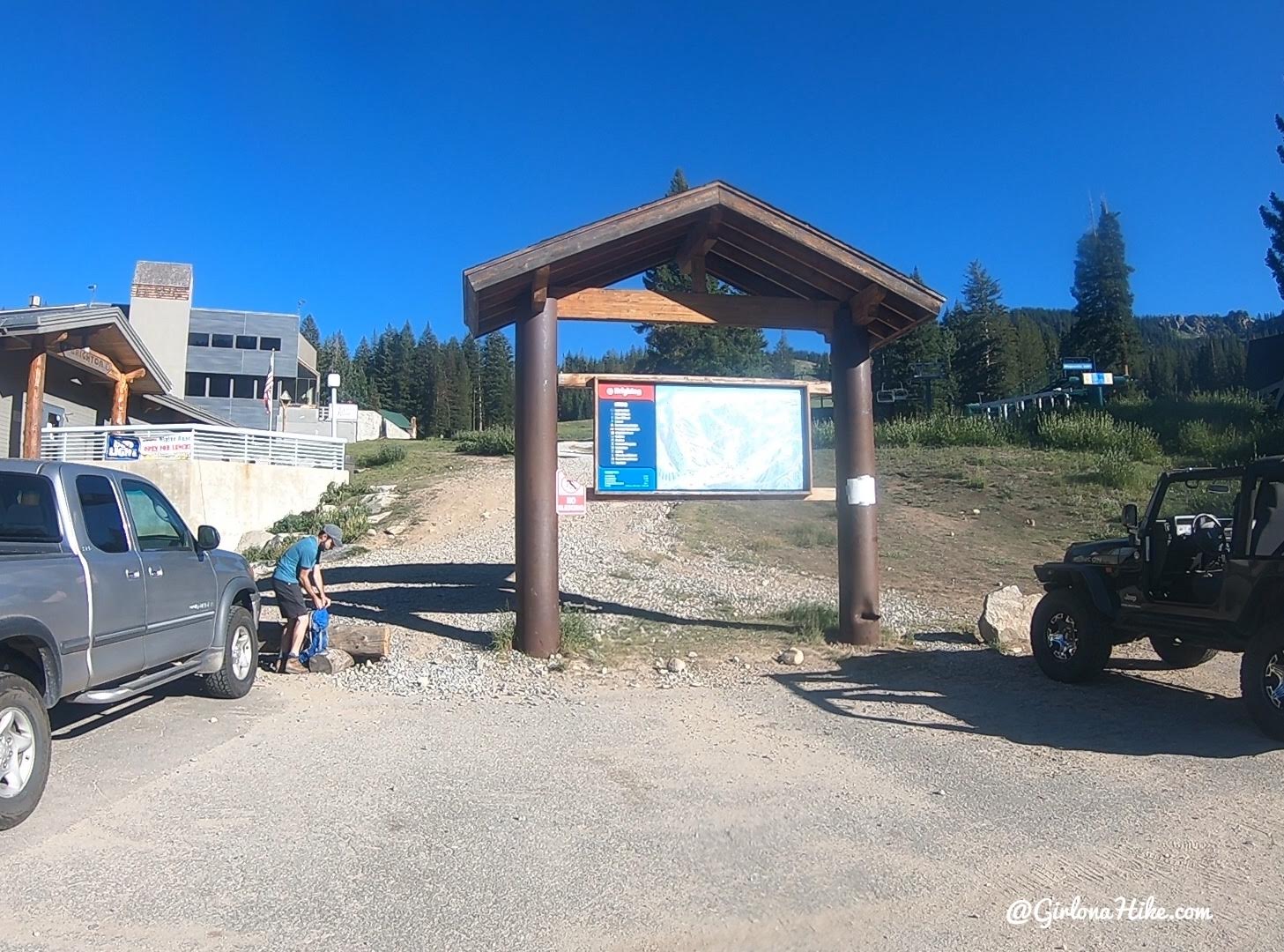
Start by parking at the giant ski map in front of the lodge.
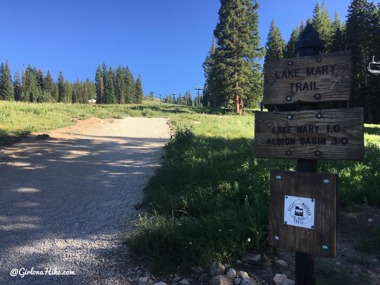
Stay straight on the large, well worn trail. You’ll be on the Lake Mary trail the first 0.8 miles.
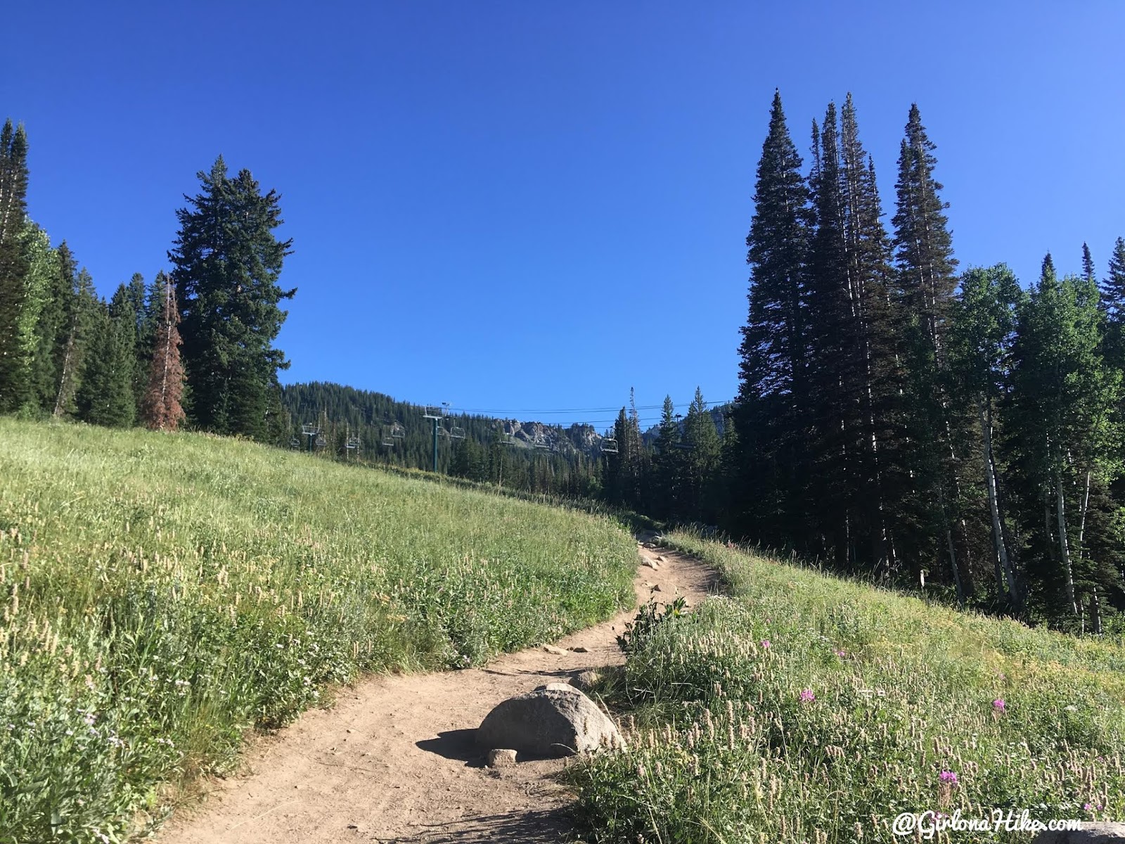
You’ll hike up a few gradual switchbacks.
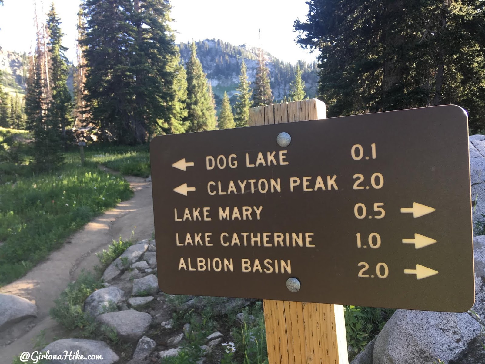
At 0.8 miles turn left for Clayton Peak!
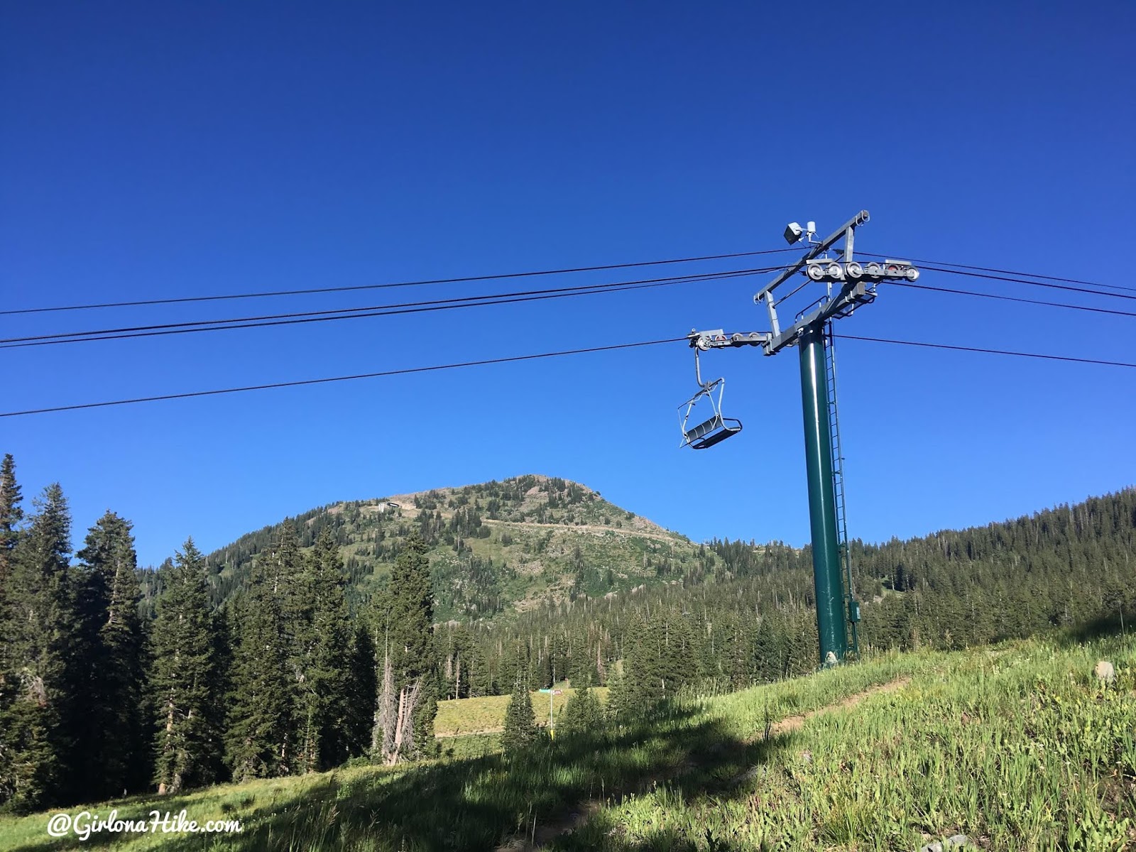
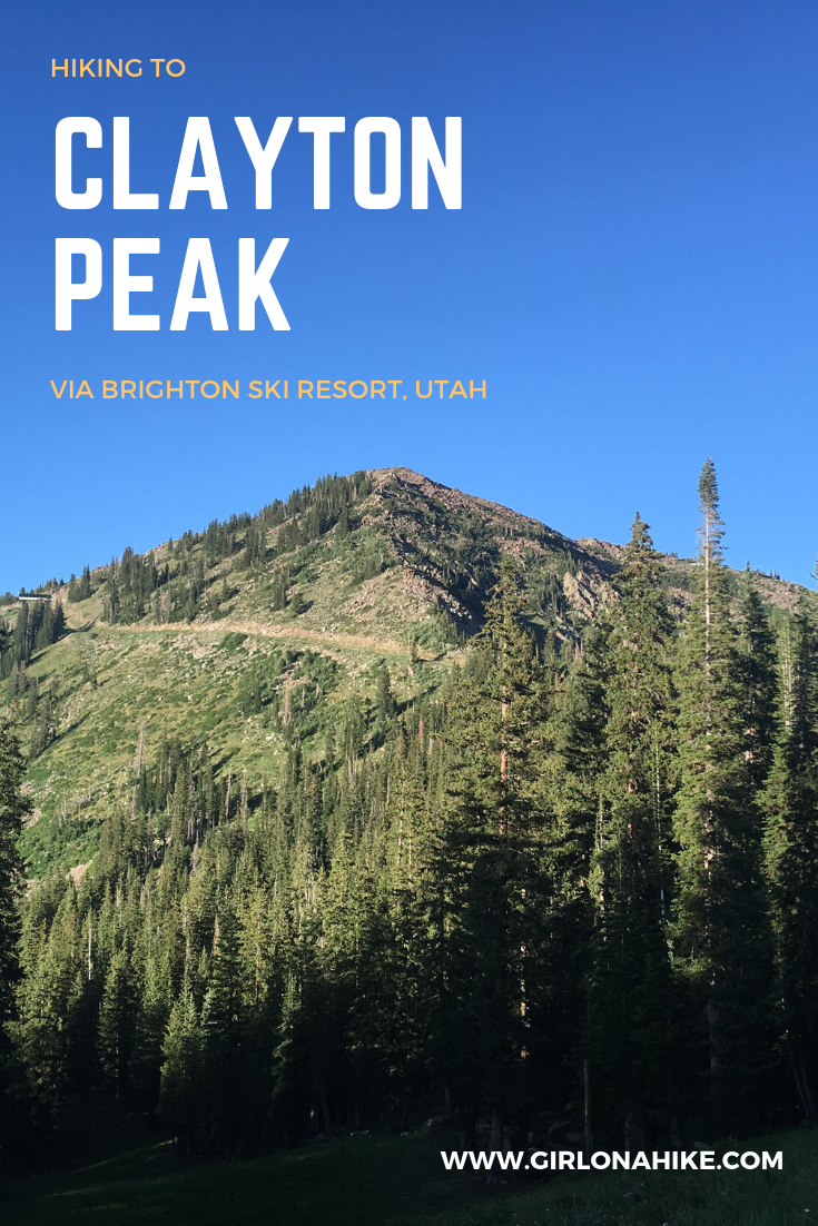
Hike past Dog Lake, and up a small hill through a forested section. Hike by the chairlift and you have the first good view of Clayton Peak ahead.
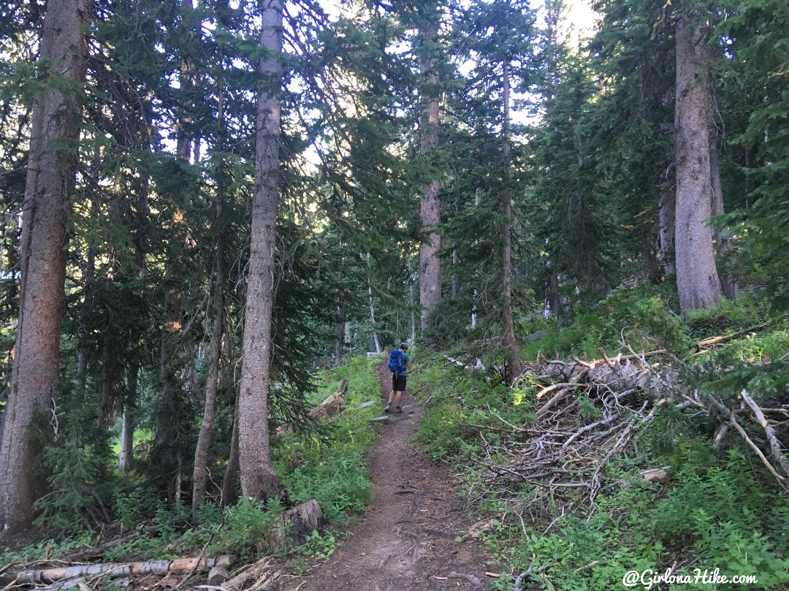
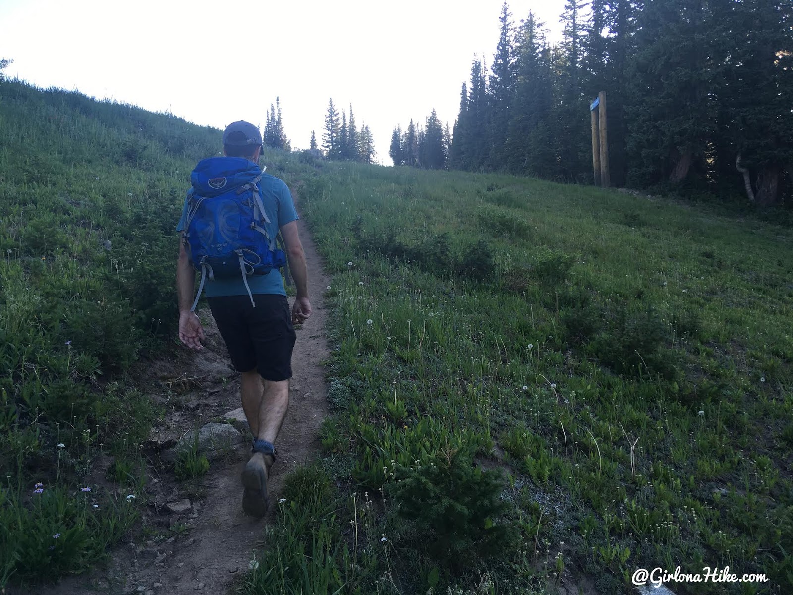
This trail is very shaded which is great in summer. My friend David leads the way.
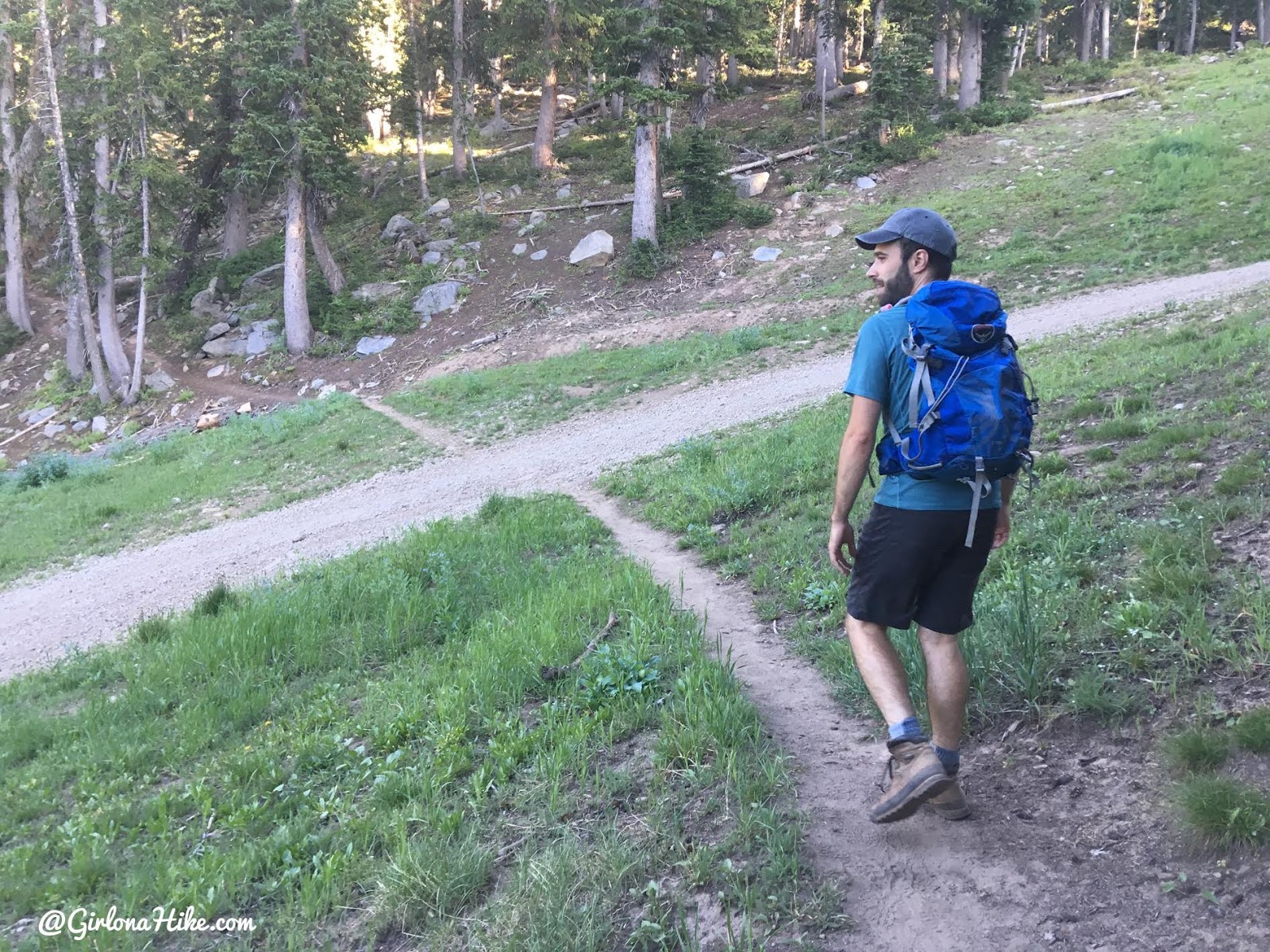
The trail crosses several dirt roads/ski runs. Keep following the trail.
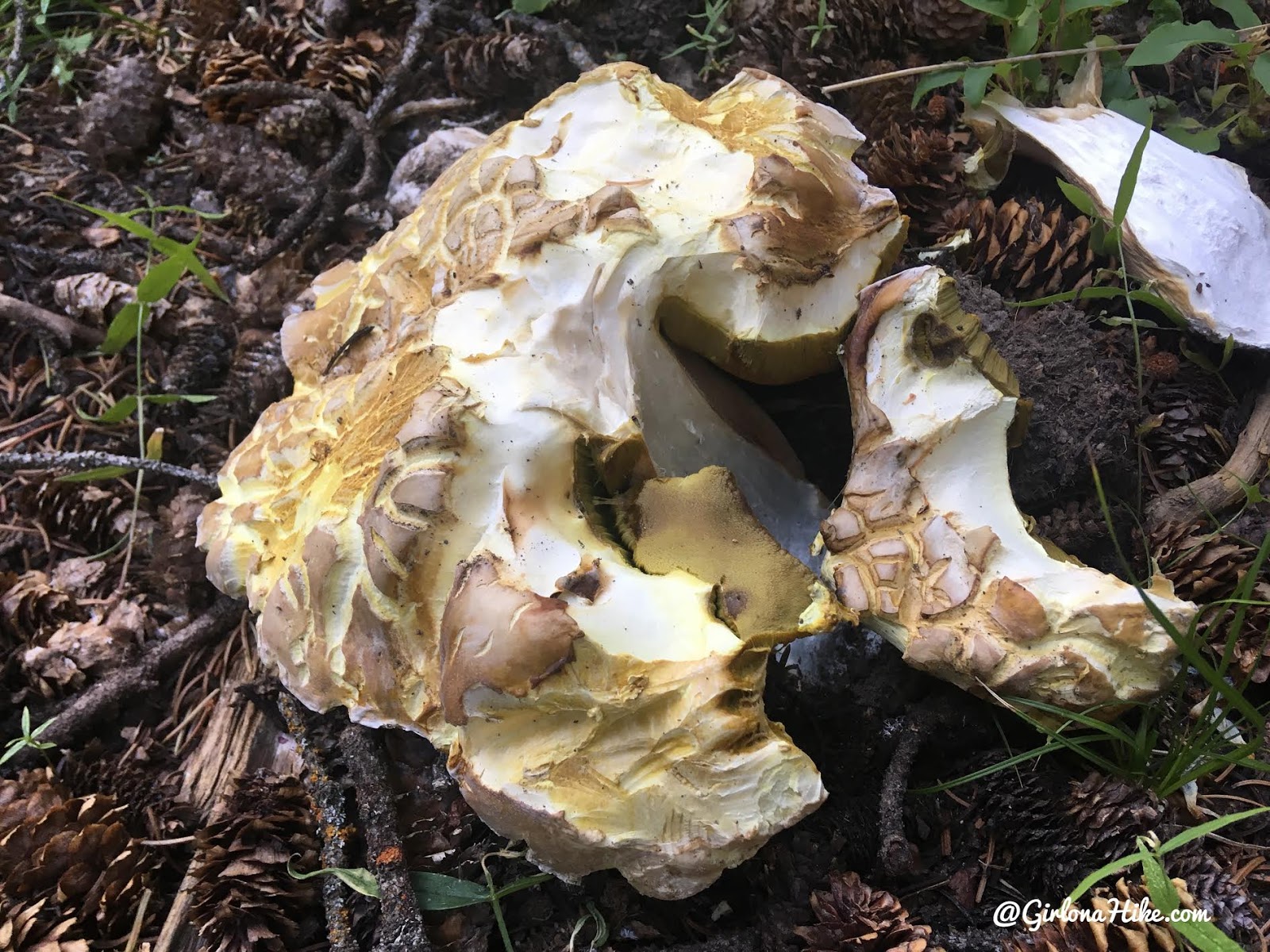
Passed by this Gian mushroom on the way. Looked like the piece on the right fell off.
Make your way up to the ridge, then turn left.
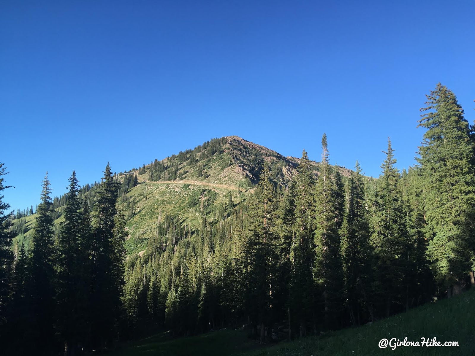
Turn left, and you’ll again see Clayton Peak.
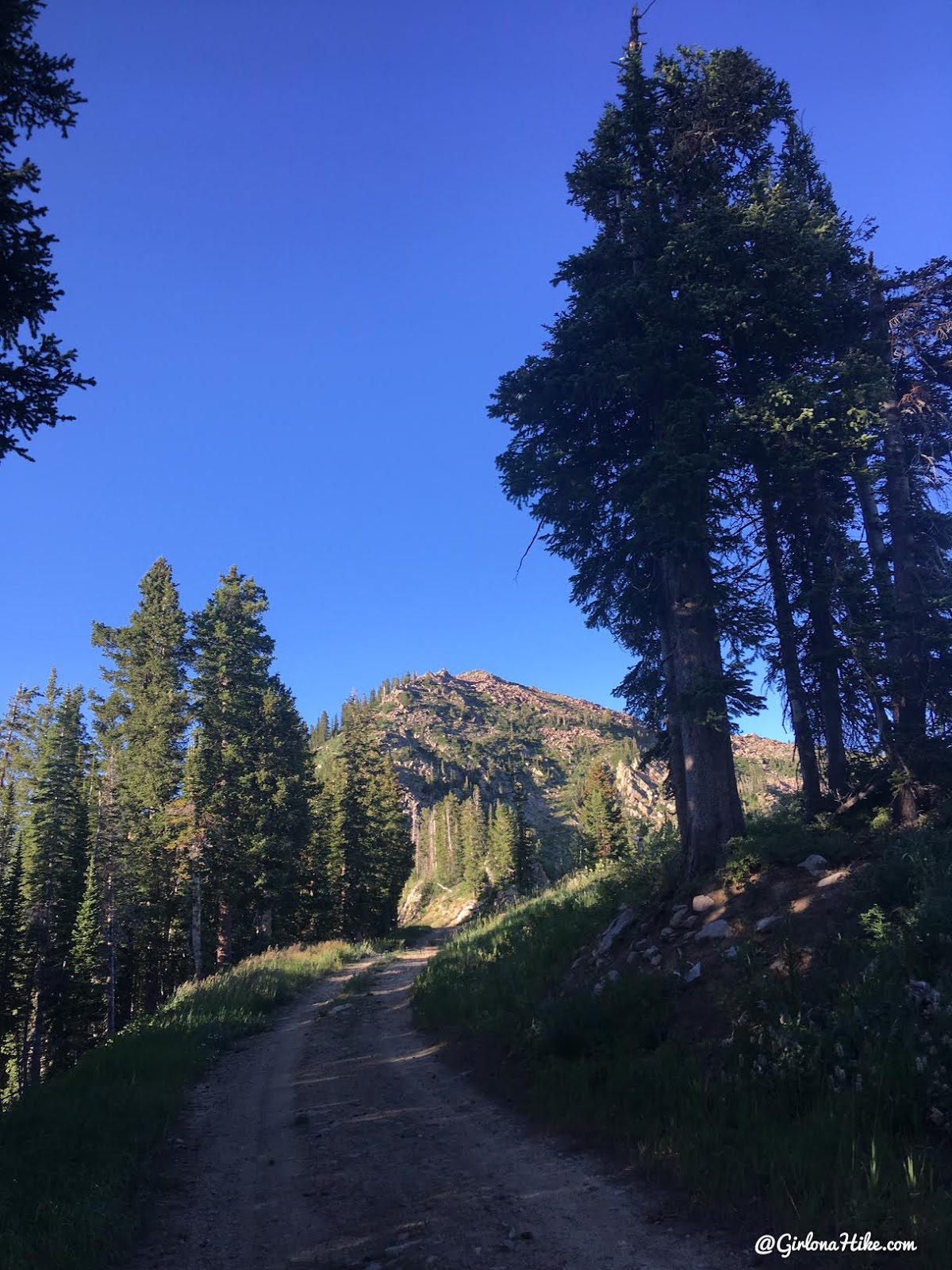
Follow the dirt road.
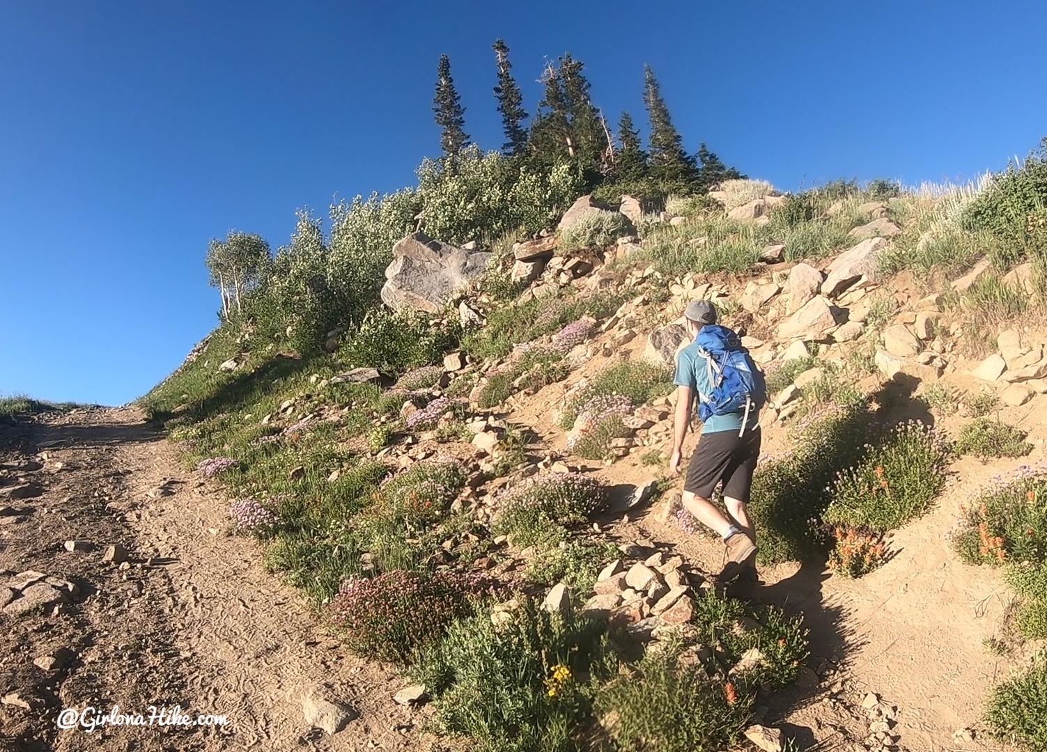
At 2.3 miles you’ll see a cairn and a trail split off to the right. Take this uphill.
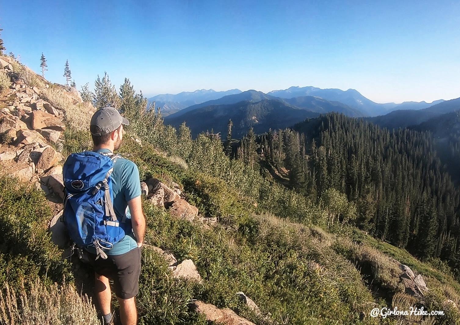
The trail narrows and you’ll hike up several small but steep switchbacks. Awesome views to the South!
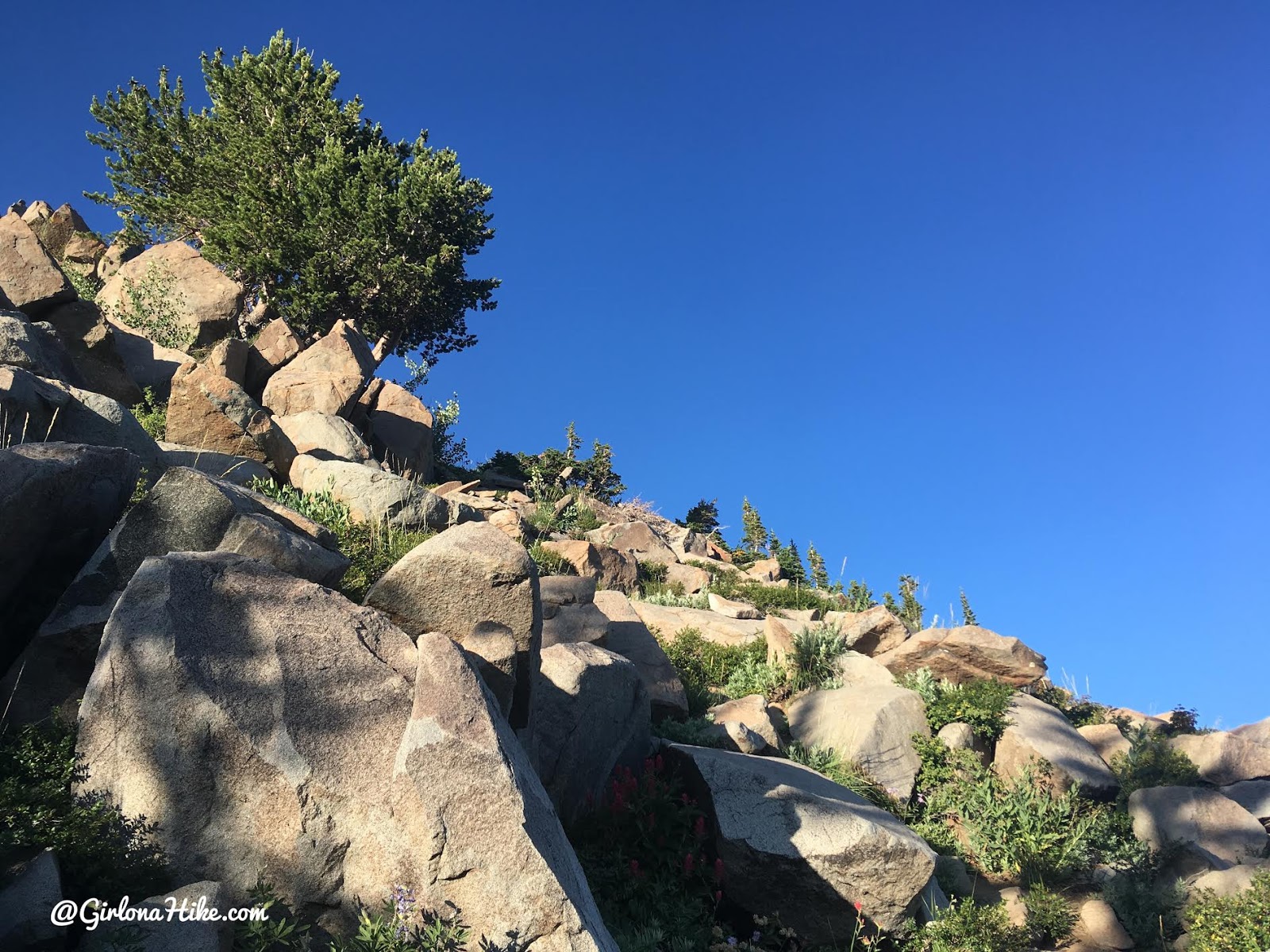
Hiking up through the boulder field. No scrambling is required on this hike.
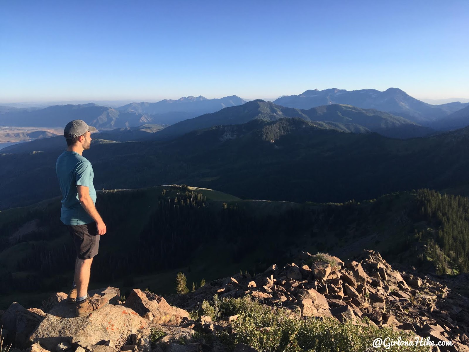
On the summit! David looks out to the South and we point out all the peaks that we can see we’ve done from here.
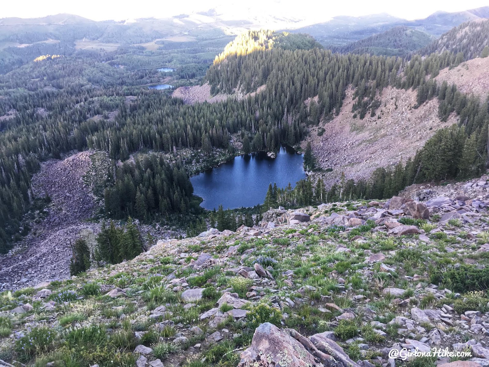
Looking down to Lake Lackawaxen.

Summit selfie!
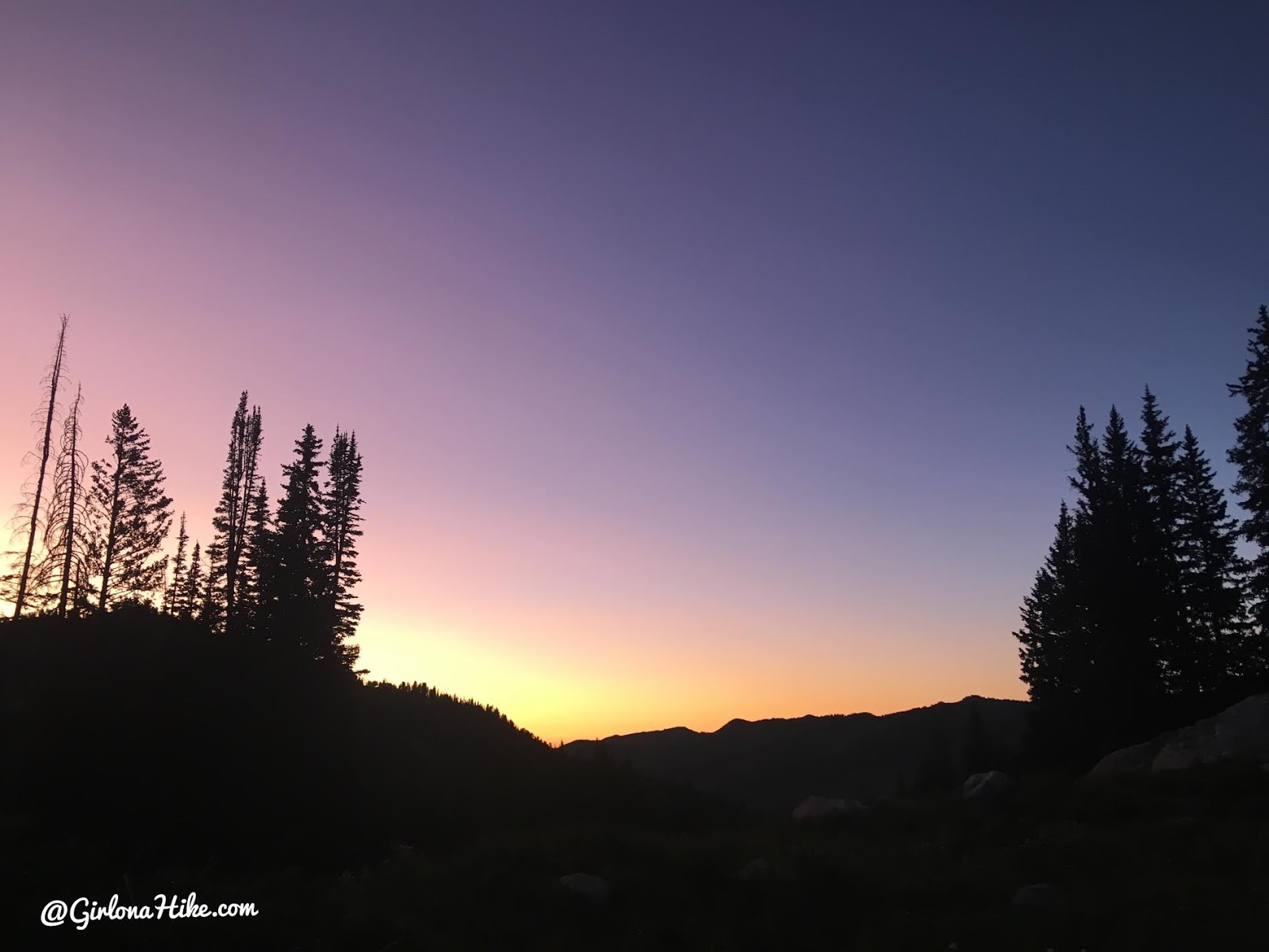
On the way back down we saw the pinkest and most purple sky I’ve seen in awhile. Gorgeous! What a fun hike.
Trail Map
My track via Gaia GPS – the best tracking app! Get your app here for a discount.

Save me on Pinterest!
