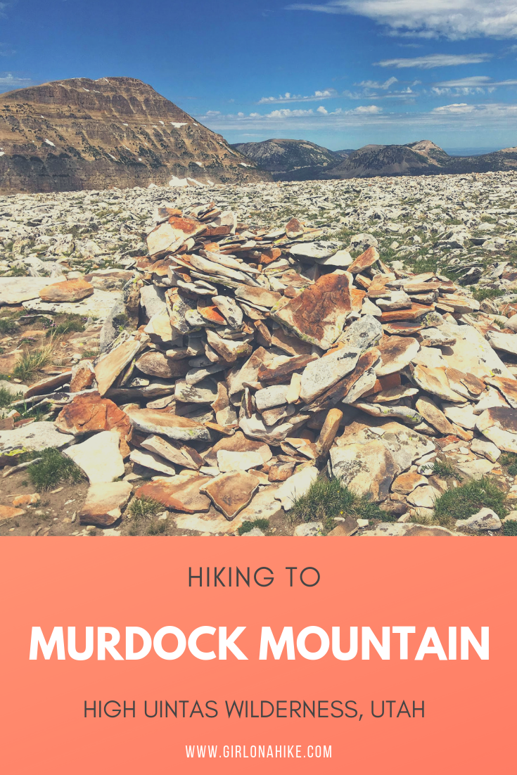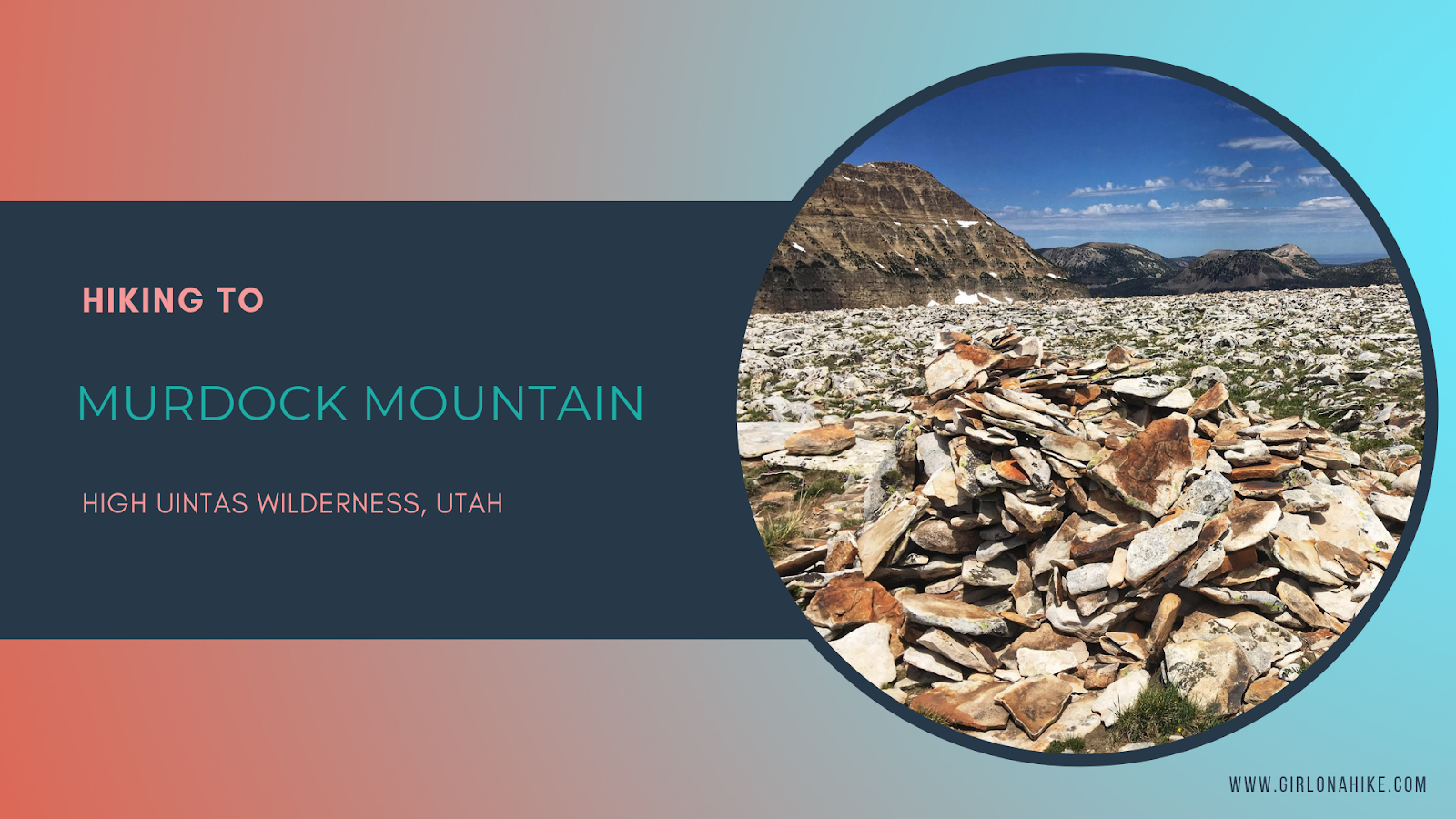
Murdock Mountain is a hidden gem in the High Uintas Wilderness, located just off the Mirror Lake Highway in Utah. Unlike the popular nearby Bald Mountain, which sees hundreds of hikers each summer, Murdock sees fewer than 75 people reach its summit annually. This makes it a perfect destination for solitude and stunning views. The route is off-trail but manageable—only 1 mile of easy boulder-hopping leads to breathtaking 360-degree vistas.
Why I Hiked Murdock Mountain
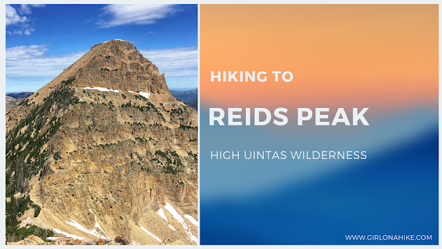
I set out to summit Murdock Mountain as part of a goal to bag the Wasatch County High Point, officially known as the Murdock West Slope (10,845 ft). My afternoon route formed a 2.5-mile loop: from Bald Mountain Trailhead, up to the Murdock summit, down to the county high point, then back to the trailhead. It was an easy hike overall, though I was tired from earlier that day summiting both Reids Peak and Bald Mountain.
Directions
From Kamas, Utah drive up the Mirror Lake Highway for 29 miles, and turn left into the Bald Mountain TH/Picnic area.
Here’s a driving map.
Trail Info
Distance: 2.5 miles RT
Elevation gain: 500 ft
Time: 1-2 hours
Dog friendly? Yes, off leash
Kid friendly? Yes, if they’re comfortable with small boulders
Fees/Permits? The Mirror Lake Highway charges a $6 fee for a 3 day pass. It’s free if you have an annual Mirror Lake Hwy or American Fork Canyon pass, or free if you have an annual National Park Pass. No permit is required.
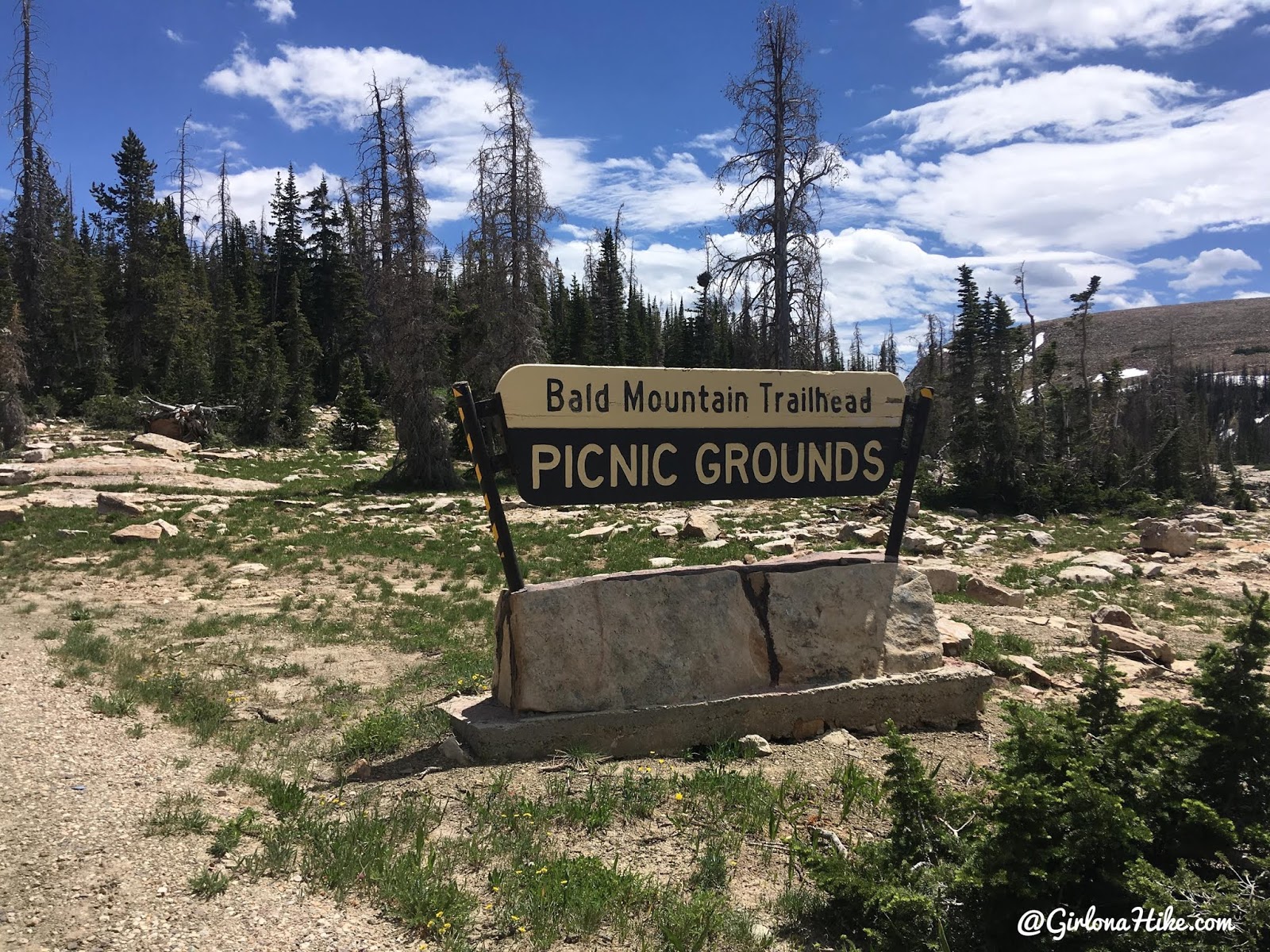
As mentioned, I decided to start from the Bald Mtn TH, then walk over to the summit from there.
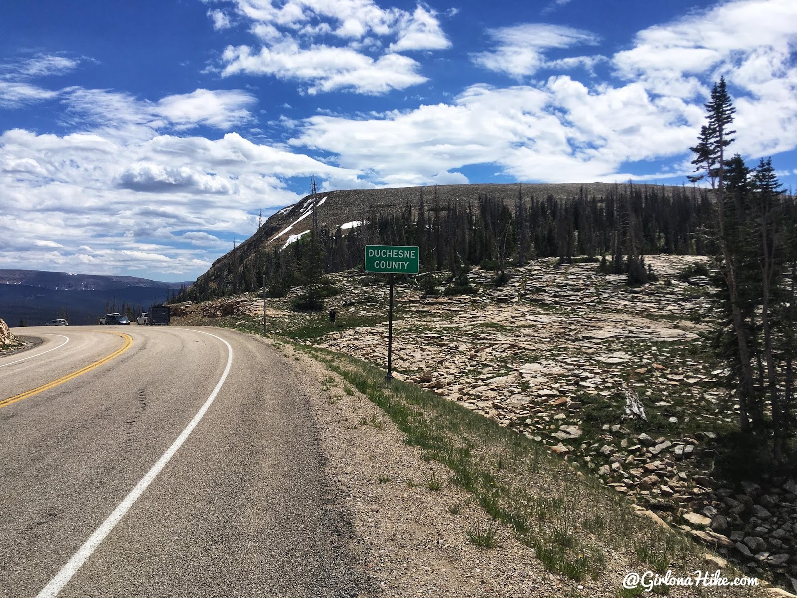
I walked along the road until I reached the Duchesne County sign, and started to hike right behind it. The Duchesne County high point is Kings Peak, so I had already done that one back in 2014.
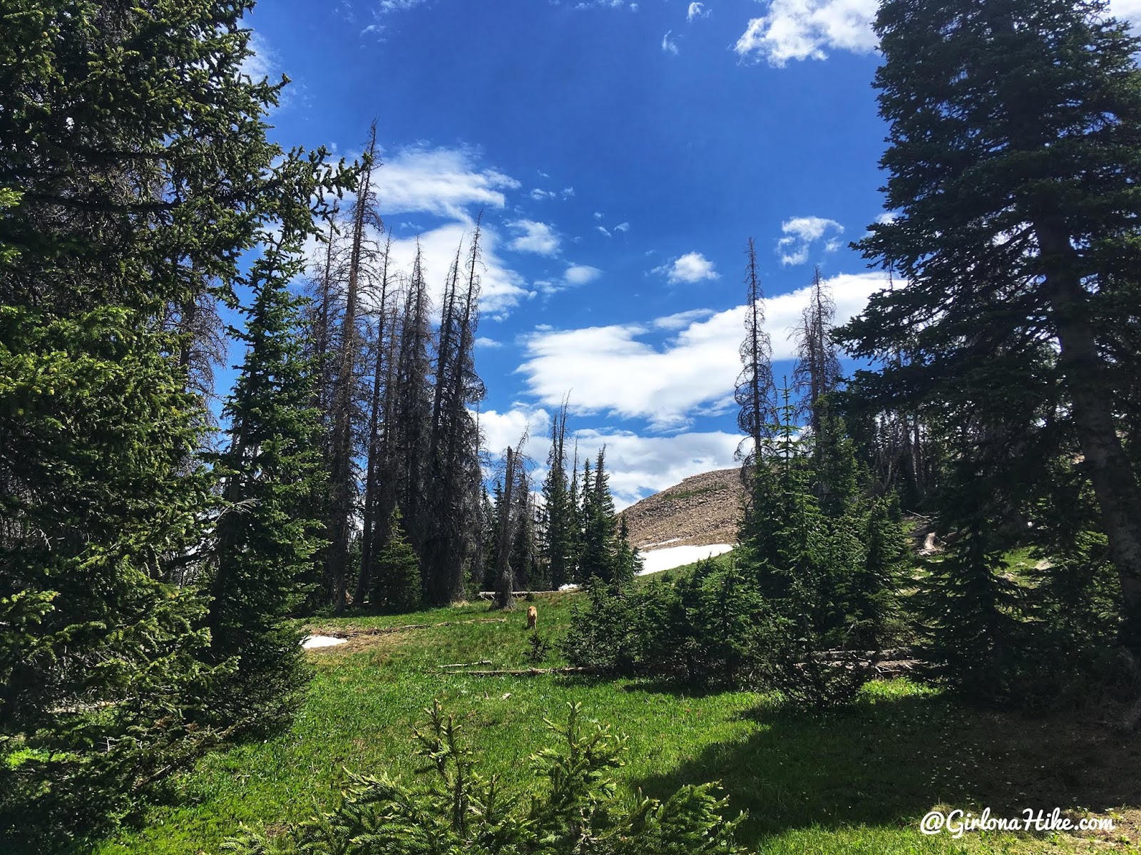
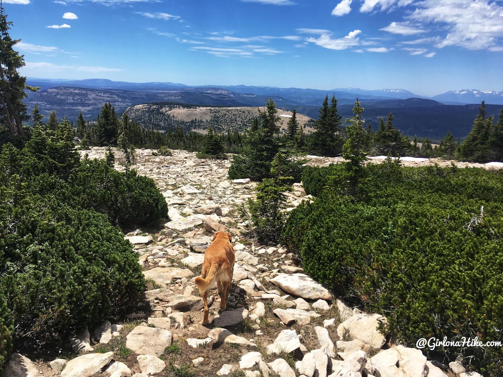
You’ll hike through a forested section, but it’s really easy to cut through to reach the ridge.
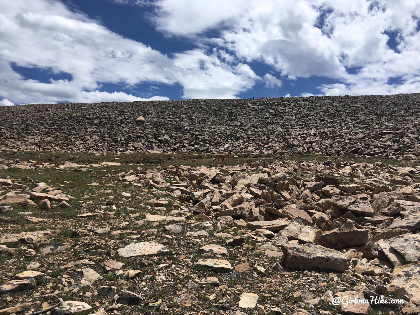
Continue hiking directly up toward the ridge. The rocks are small and stable, making for an easy scramble to the top.
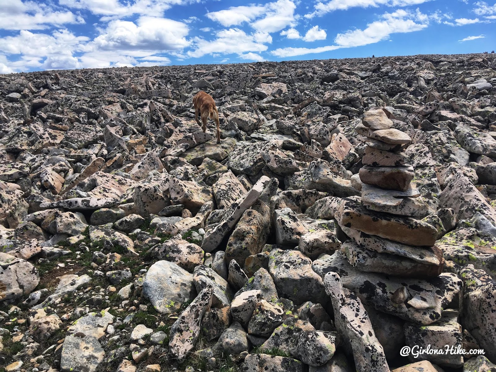
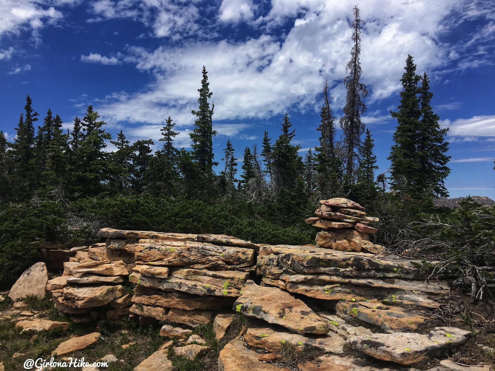
I was surprised to see several large cairns leading the way up.
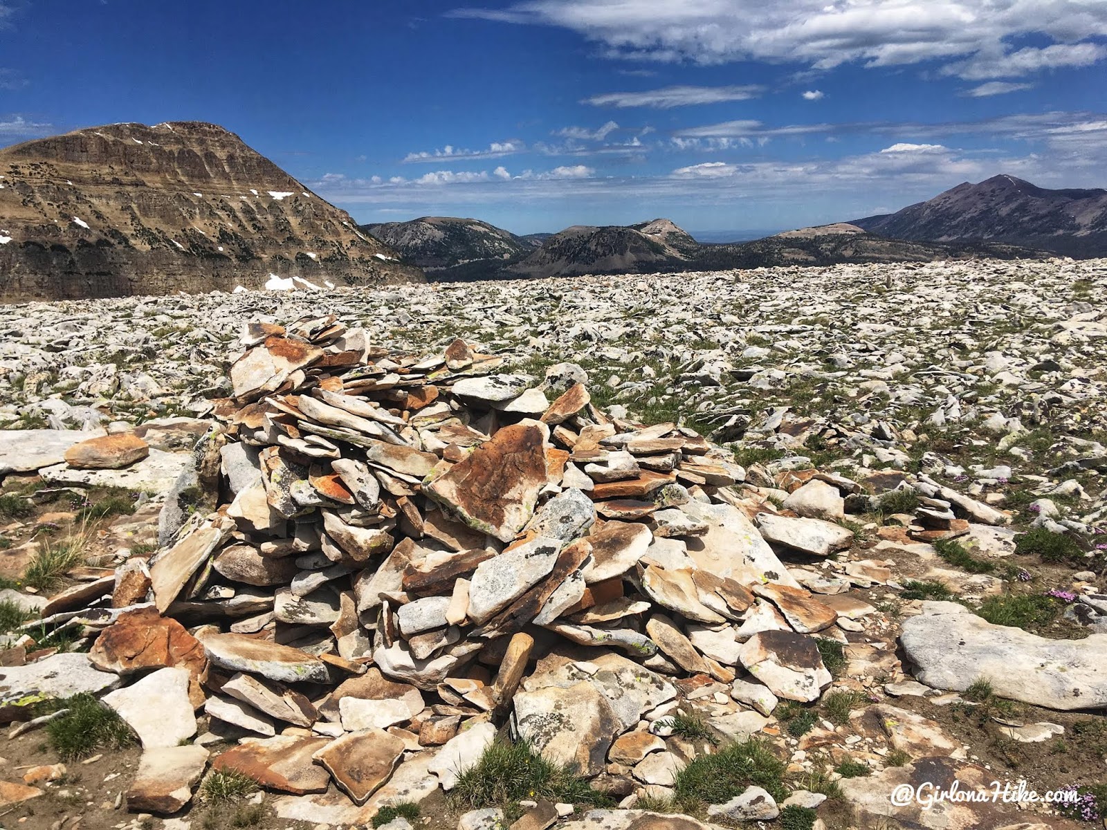
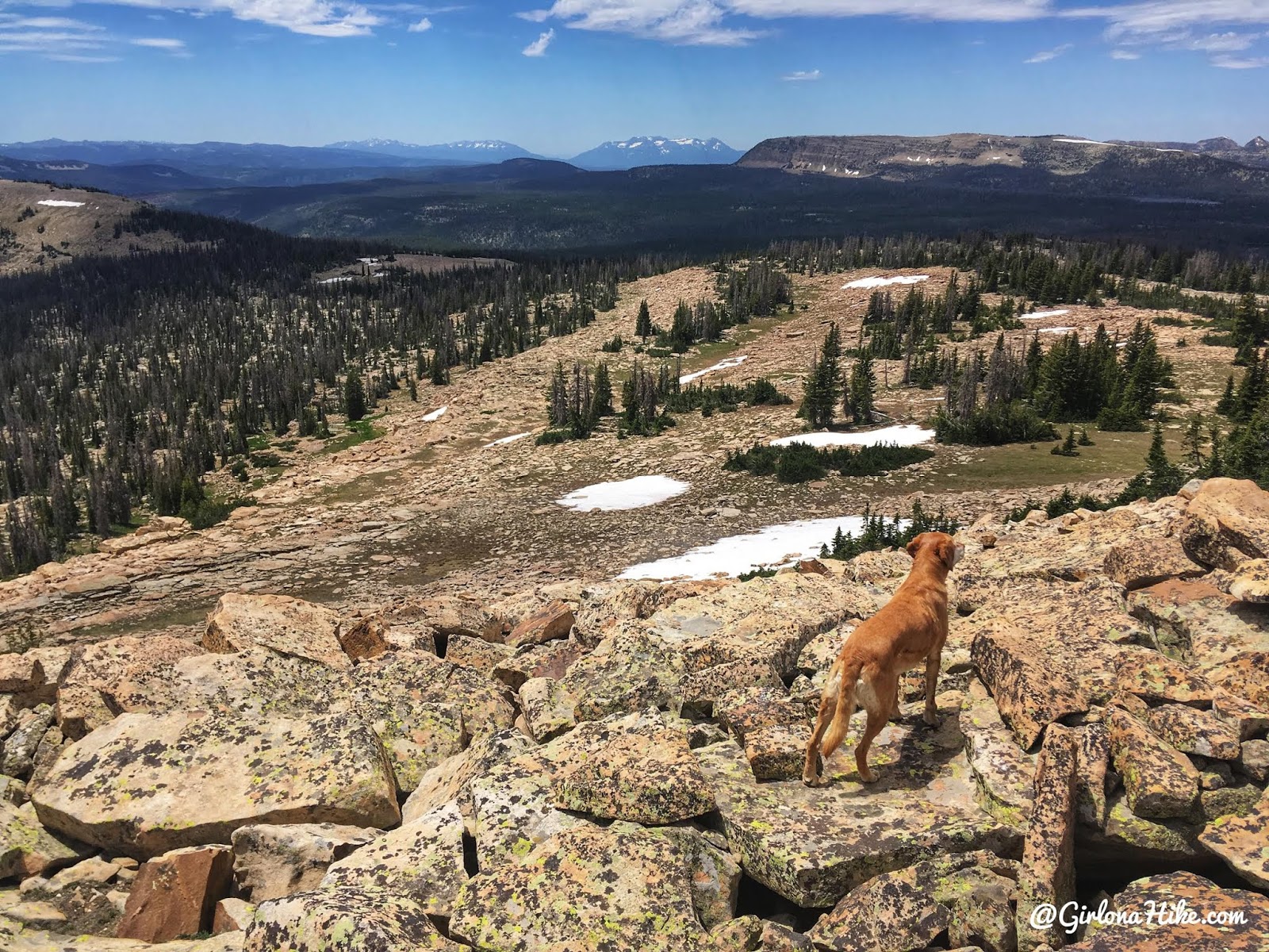
On the summit! Great views all around.
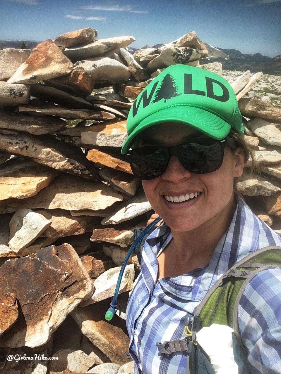
Summit selfie!
After Murdock Mountain, we aimed south in search of the West Slope/County high point.
Wow, what a view! The CoHP was tucked into some trees so it wasn’t completely visible from here.
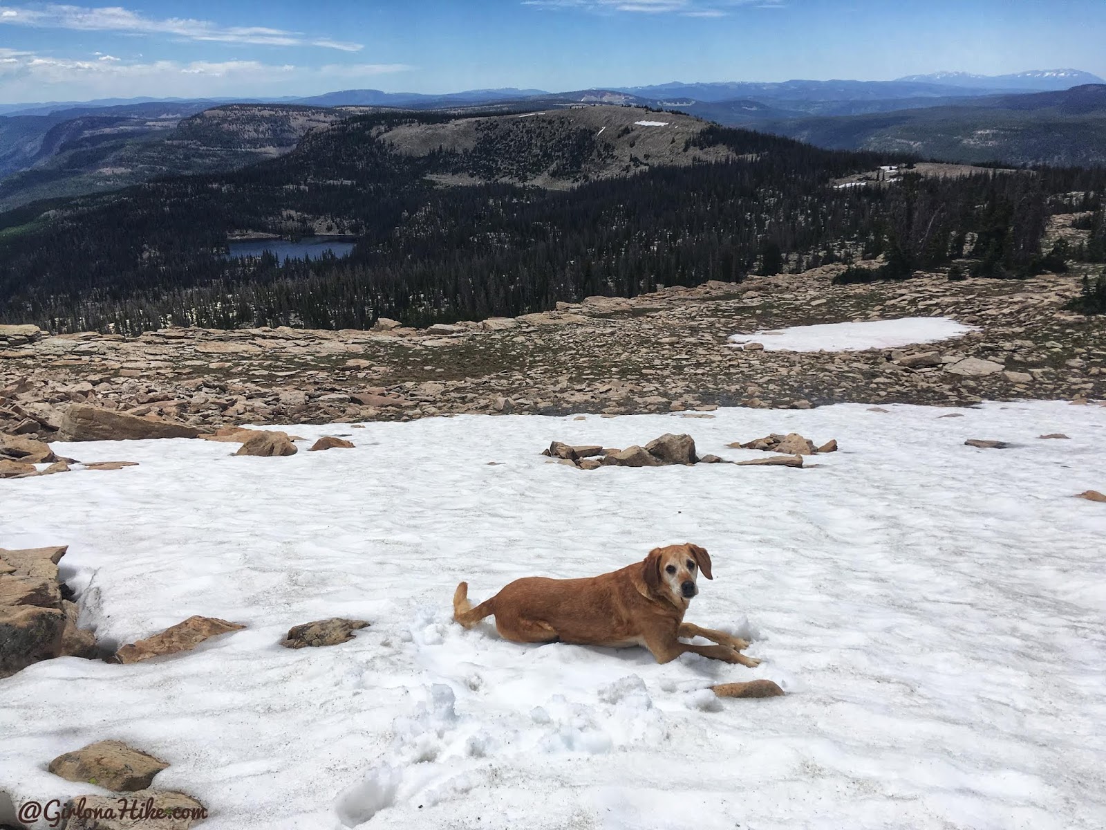
Charlie takes a break in the snow.
After wandering around, keeping an eye on my GPS, we found it! Not the coolest looking “summit” but we marked it off our list!
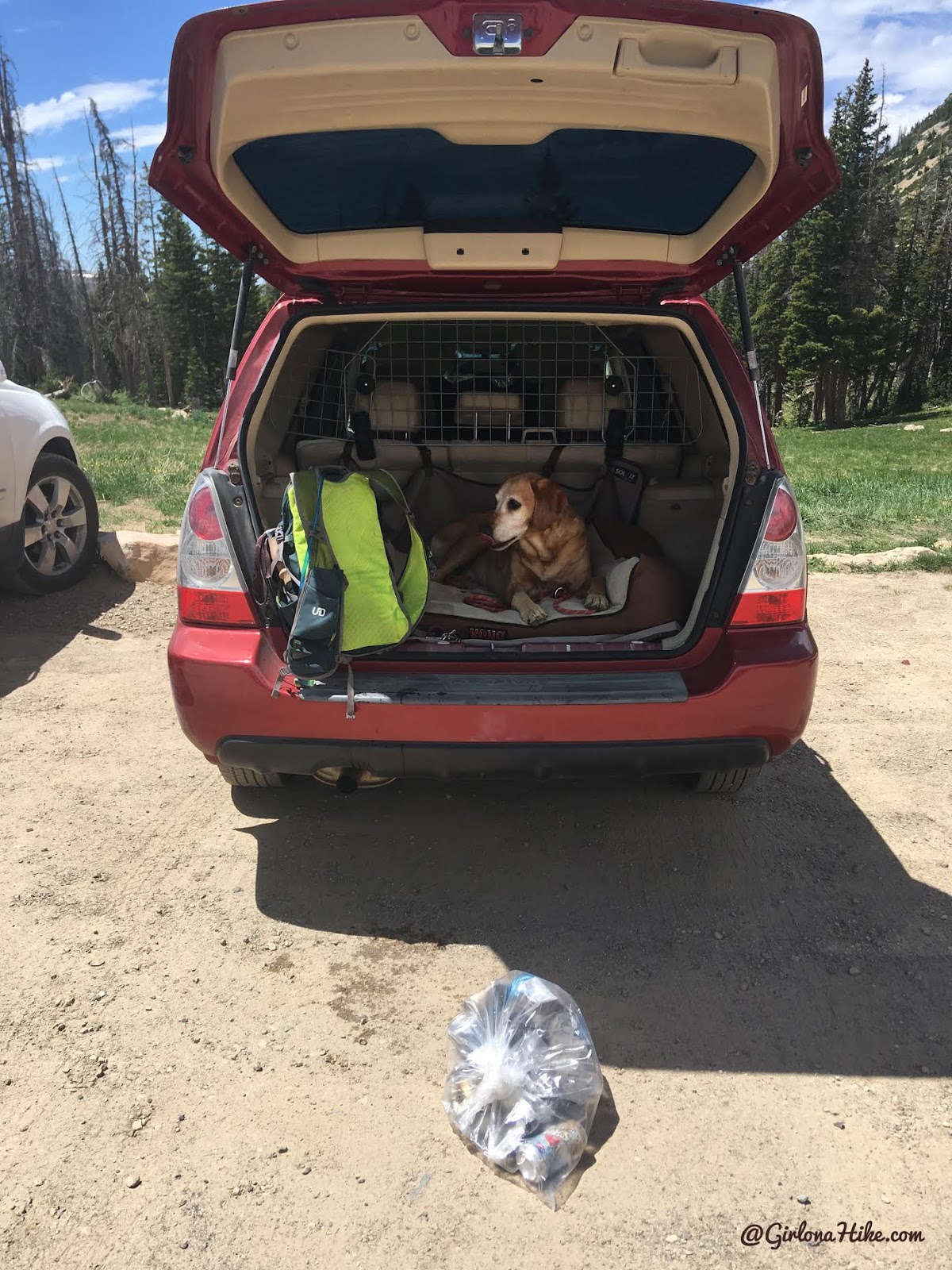
Another thing I was surprised about this hike – there was SO. MUCH. TRASH! I picked up four items of trash on Murdock Mountain, then as I was walking back to the car I passed a campfire ring (close to the road of course) and there was literally a whole 12 pack of beer cans in the pit. WTF? Either way, I packed it all out!
Trail Map
My track via Gaia GPS – the best tracking app! Get your app here for a discount.
Nearby Hike

Save me on Pinterest!