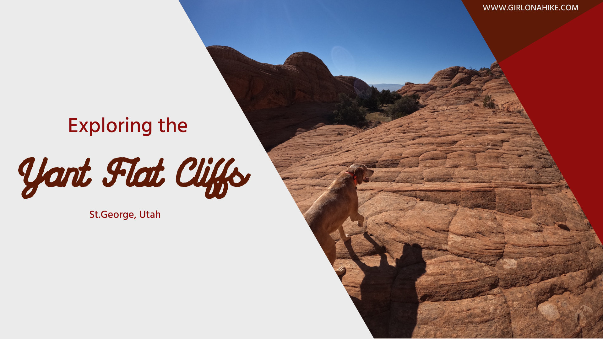
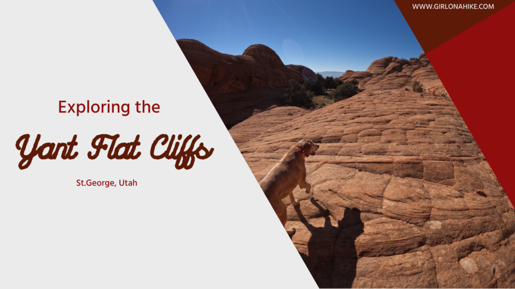
Exploring Yant Flat Cliffs (Candy Cliffs), Utah: A Hidden Gem Near St. George
Yant Flat Cliffs, also known as Candy Cliffs, are a stunning stretch of colorful sandstone formations located northwest of St. George, Utah. Accessible by a rough dirt road, this remote destination rewards visitors with vibrant red, orange, pink, yellow, and white striped slickrock formations spread across steep cliffs and buttes. The unique, wavy patterns resemble swirling candy, giving the area its nickname.
The striped sandstone extends about 3 miles along the southern edge of a rocky plateau known as Yant Flat. Once you reach the unofficial viewpoint (Anna’s View Point Trail), you’re free to explore without a designated trail, making this a true backcountry adventure.
Best Time to Visit Yant Flat Cliffs
The best seasons to hike Yant Flat Cliffs are spring and fall, when temperatures are moderate and more manageable. Summer can be dangerously hot, with no shade or water along the route. Start your hike early in the morning to avoid the worst of the heat.
In winter, Southern Utah may surprise you with snow, and the access road to the trailhead can become impassable or temporarily closed due to conditions.
Yant Flat Cliffs offers a one-of-a-kind adventure just outside of St. George. With its colorful, swirling slickrock and open space for off-trail exploring, it’s perfect for those looking to get off the beaten path in Southern Utah. Just be prepared, stay safe, and enjoy the magic of Candy Cliffs.
What to Bring
At least 3 liters of water per person, even in cooler temps
Sun protection: Hat, sunscreen, sunglasses
Good traction hiking shoes
GPS or a map app like Gaia GPS – there are no marked trails past the viewpoint
Dog booties if hiking with pets during warmer months
Camera – the colors and textures are ideal for photography
Directions
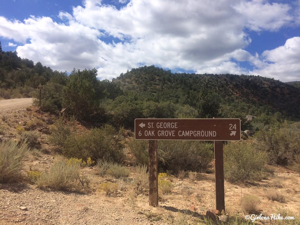
If you are heading south on I-15, use this map. From St. George, drive north on I-15 and take the Leeds exit. Head through town and follow the signs to FR031 (also called Oak Grove Road or Yant Flat Road). This dirt road can be rough, sandy, or rutted, so a high-clearance vehicle is recommended, especially after rain or snow. Drive approximately 11 miles to reach the unofficial trailhead for Anna’s View Point Trail.
Tips for Exploring Yant Flat Cliffs
Once at the viewpoint, the landscape opens up with no official paths—exploration is entirely self-guided.
Be cautious as the slickrock can be steep and uneven in places.
Cactus and sharp vegetation are common, so keep an eye out—especially if you’re hiking with kids or dogs.
Because it’s easy to get turned around, be sure to track your route on a GPS app like Gaia GPS, which allows you to retrace your steps if needed.
Avoid hiking during the hottest part of the day, and don’t underestimate how remote this area is—bring more water and food than you think you’ll need.
Trail Info
Distance: 1.3 miles to Anna’s View Point
Elevation gain: flat
Time: varies, 1 hour minimum
Dog friendly? Yes, off leash
Kid friendly? Yes
Fees/Permits? None
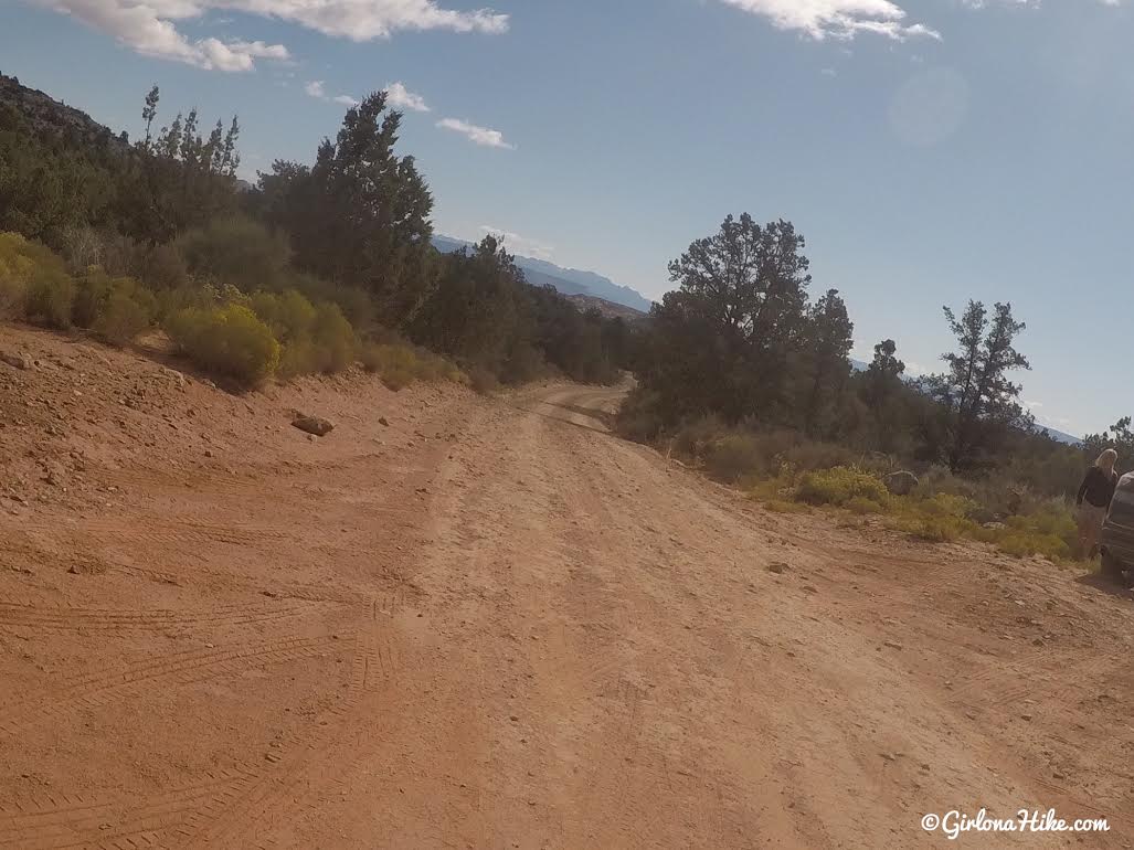
This road generally stays in really good shape, except after recent rains.
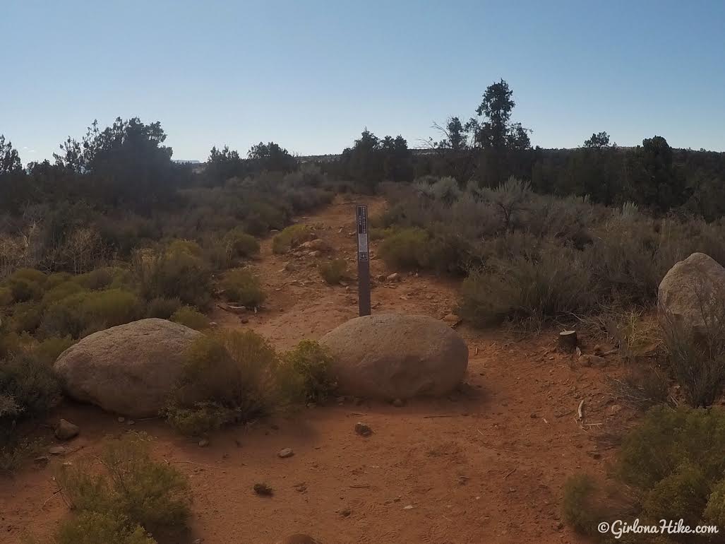
Anna’s View Point Trail starts on the south side of the road. You’ll see these boulders and the brown post. You used to be able to take a Razor/ATV down here, but has been closed off for revegetation. There is no official TH sign.
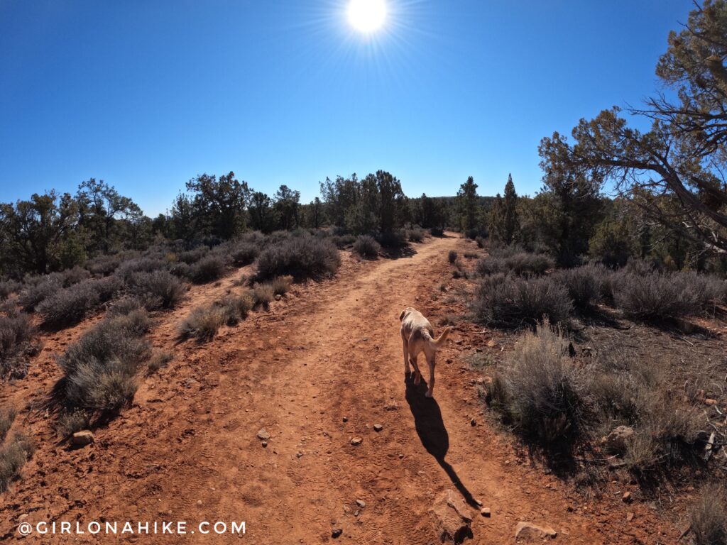
The first mile weaves through a typical pinyon-juniper pine forest, dotted with desert plants. In Spring the yucca and cholla cactus will be in bloom with bring pink flowers.
I love hiking here in early spring/late winter – it was a perfect hiking temperature in the upper 50Fs. A cool breeze made it feel colder. Check out all the gear I use on the RockPorch app here!
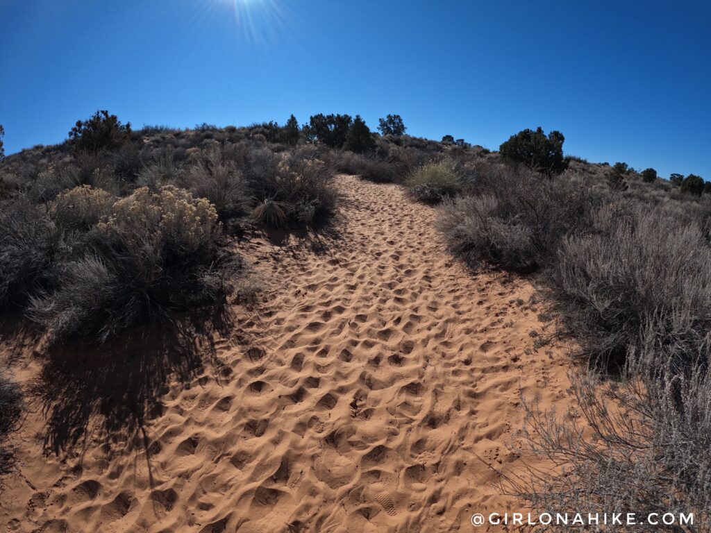
The last 1/3 mile turns into a sand pit, making it hard to hike through.
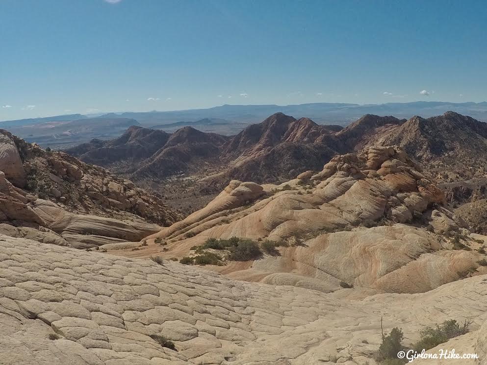
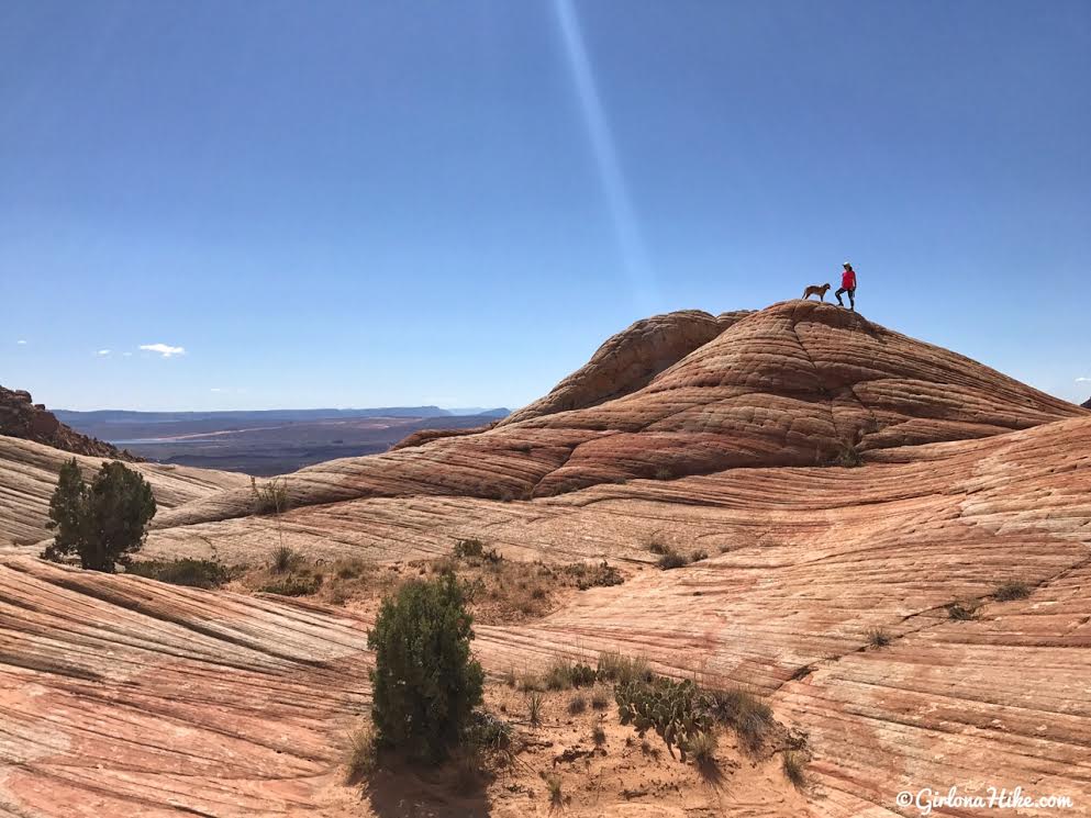
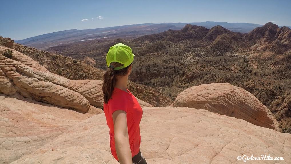
At 1.3 miles you’ll reach the overlook, Anna’s View Point. From here, explore on your own!
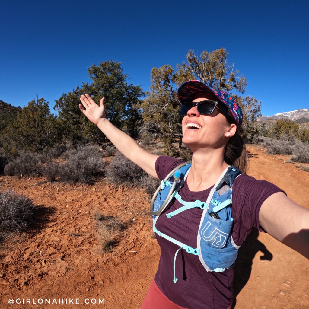
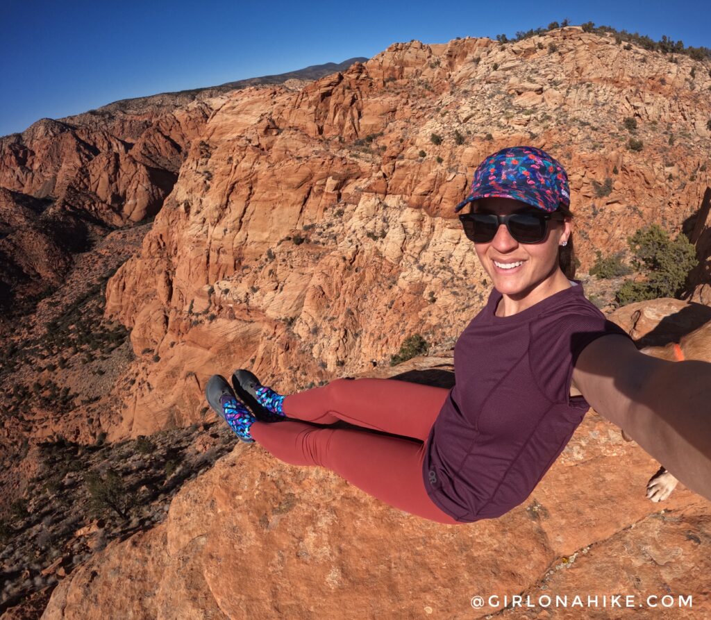
Look at those deep blue skies!!! A perfect day to be in the desert.
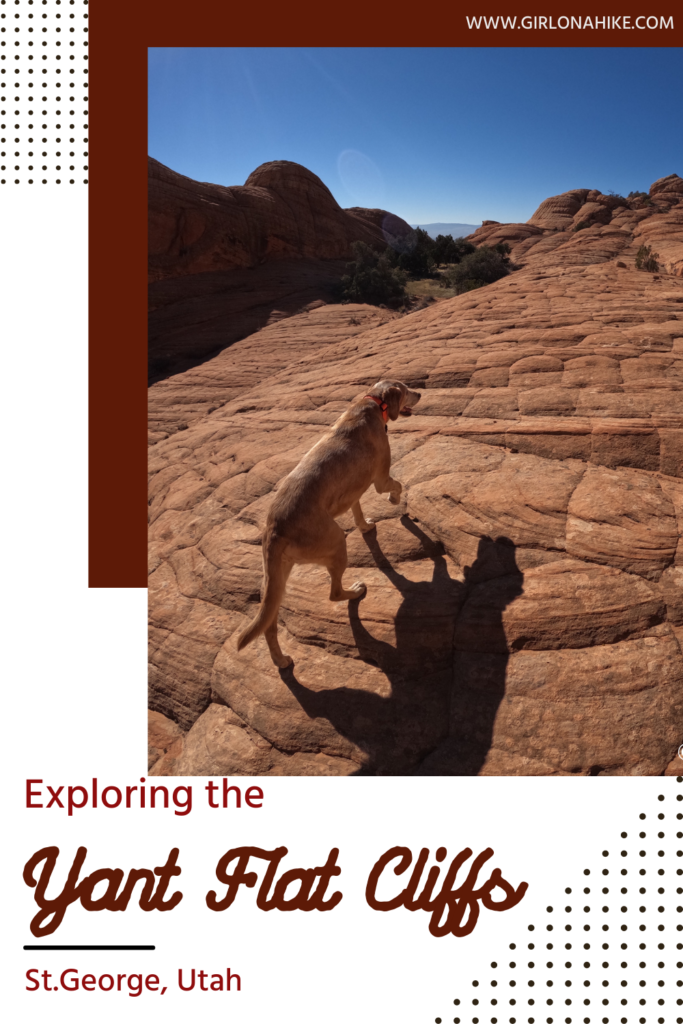
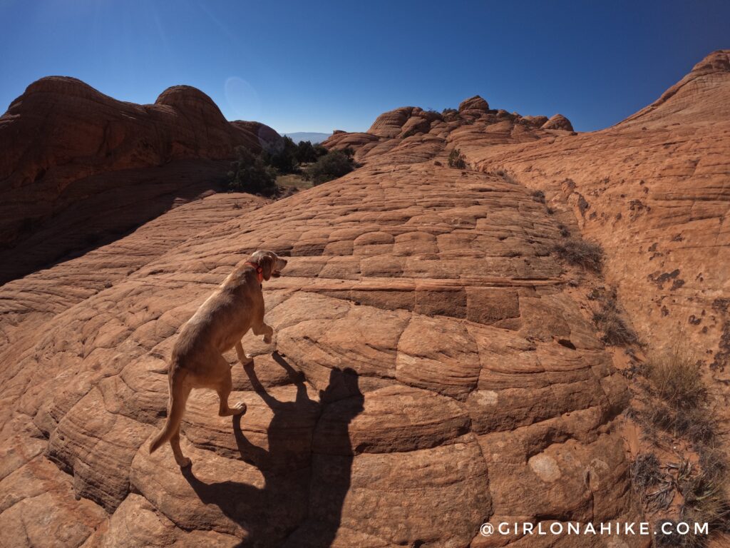
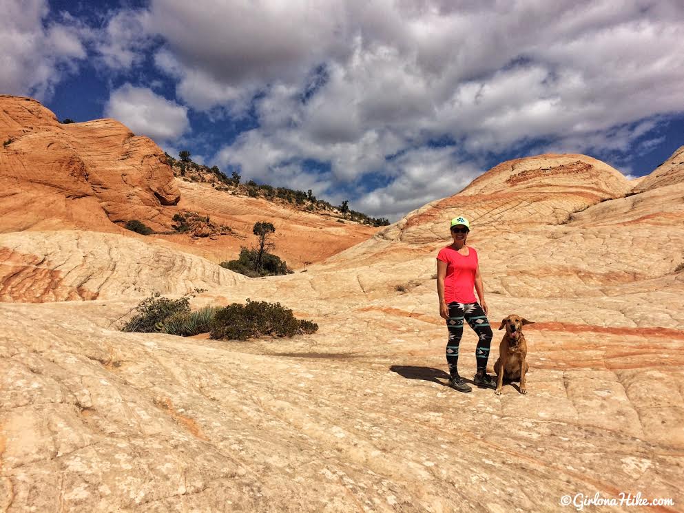
So many good spots to take in the view of Yant Flat!
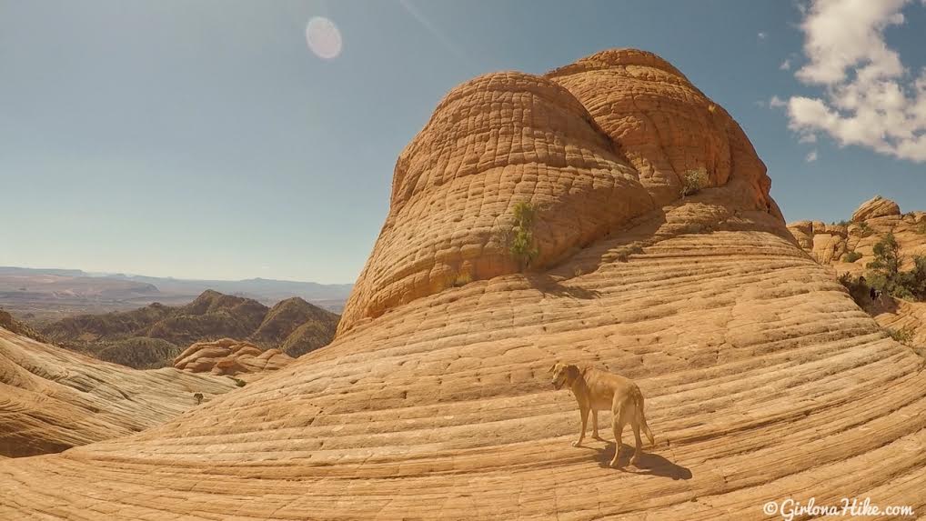
Beautiful orange and yellow slickrock.
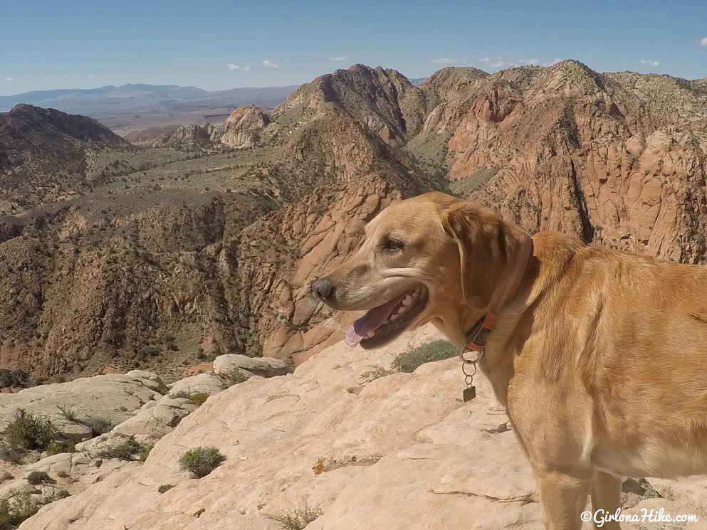
Charlie takes in his view.
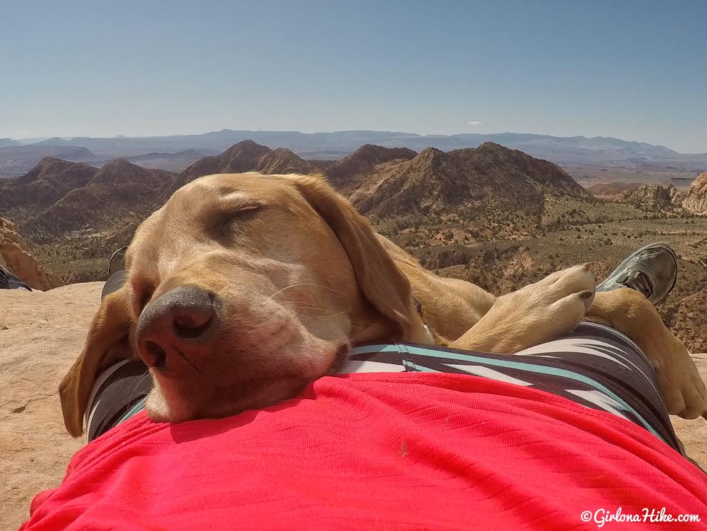
A day in the desert can wear a pup out!
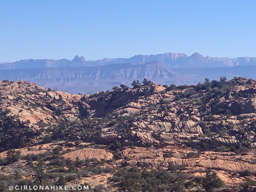
On a clear day you can see all the way to Zion National Park!
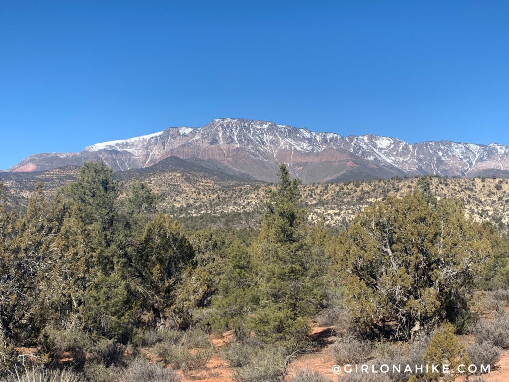
Can’t forget to mention the great view of Signal Peak on the hike back to the car!
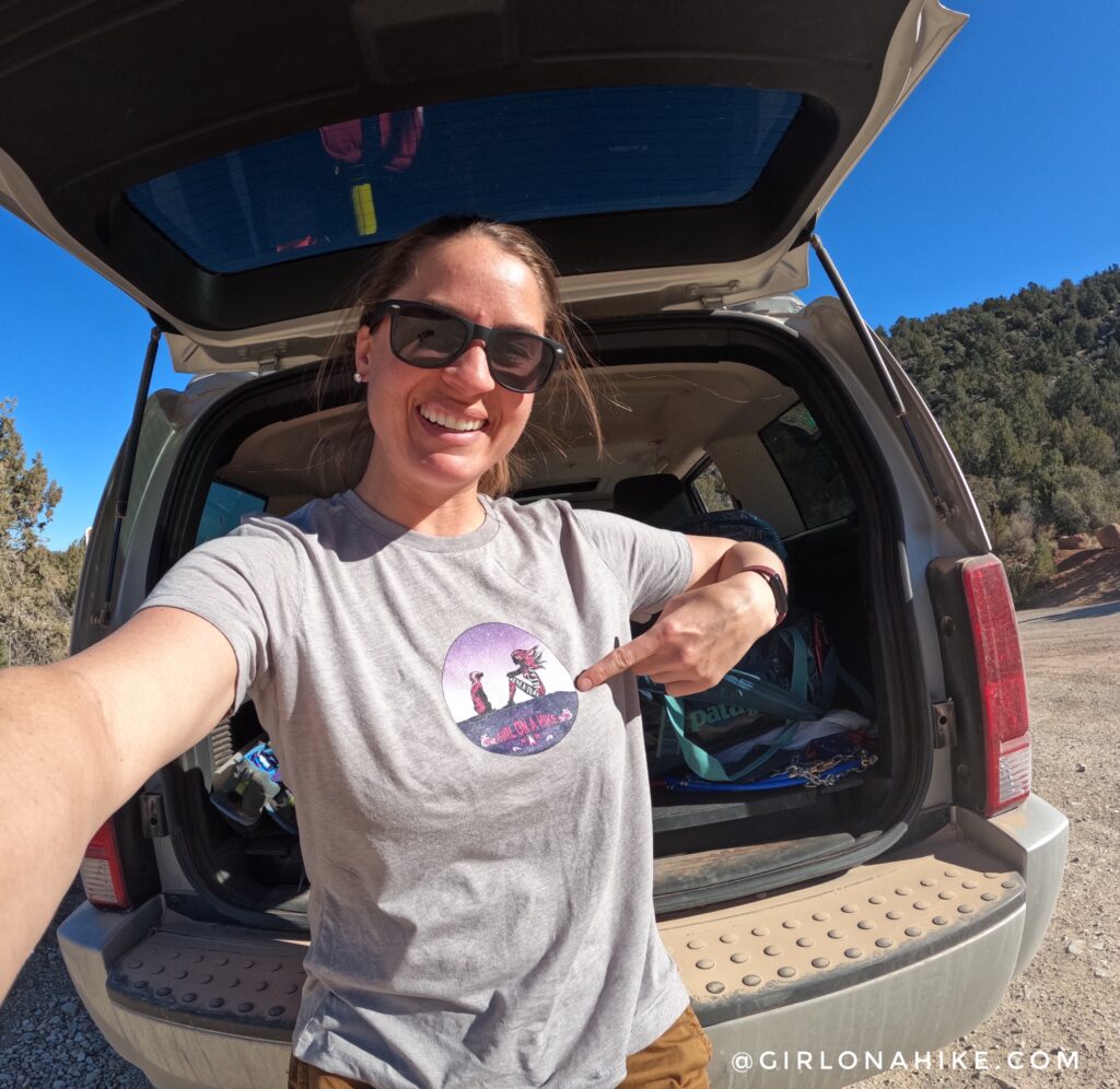
Yant Flat was my last hike on my trip to St.George, so when I got back to my car I cleaned up with some baby wipes and put my clean and comfy custom t-shirt on from Rush Order Tees! I love having my own logo on a t-shirt!
Check out my video!
Trail Map
Nearby Hike

Save me on Pinterest!