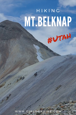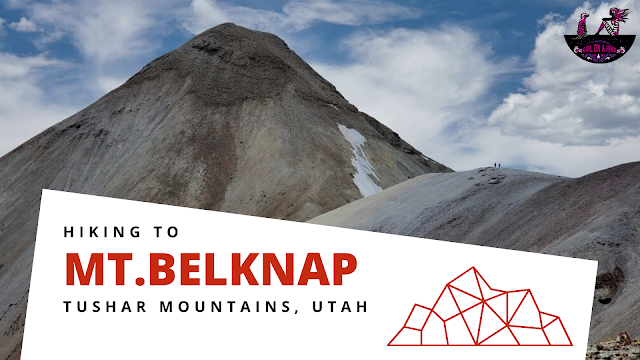
About
The most popular peak in the Tushars is Delano Peak (12,169 ft) because it is the County High Point for both Beaver and Paiute Counties, and is also a much easier trail compared to Belknap. Mt.Belknap is a challenging peak – steep, loose scree is the name of the game here. Another challenging part can be the winter gates – if they are closed then you have a much longer day. If all gates are open, then this is about a 3-4 mile RT hike. However, the gates don’t typically open until mid-July, even though a bulk of the snow may be melted. Forest Rangers told me this is because they need time to get up there and still grate the road as well as clear debris.
Directions
Drive south on I-15 and take exit 112 in Beaver, UT. Turn left, and drive on Main St. for 1.6 miles. Turn left for UT-153, and drive 16.3 miles. Just past mile marker 16, look for the dirt road turning off to the North side of the road and turn here. Reset the odometer. The road is a well-graded, dirt road. 4×4 cars are recommended, but a small, compact car can make it only if the road is totally dry. Call the Beaver Ranger station before heading out to check road conditions & to make sure the winter gate at Poison Creek is open, at 435.896.9233.
For the Winter Gate/Poison Creek
0.3 miles – stay left at the first road split
0.8 miles – pass the metal gate
2.4 miles – keep left
3.3 miles – Pass the Paiute ATV Trail, and the road curves right, pass Big John Flat, pass the first pit toilet, and cross a cattle guard
4.3 miles – pass a 2nd pit toilet
4.7 miles – pass the Skyline Recreation TH
5.0 miles – drive past Griffith Creek (it may be completely dry in Summer/Winter)
5.6 miles – reach the last winter gate
For the Bullion Pasture TH
Continue driving and at 9.7 miles, reach the signed TH on your right with a dirt parking lot
Total drive time from SLC is about 3.5-4 hours. Here is a driving map Poison Creek. You can park right next to the creek. This is the driving map to the Bullion Pasture TH.
Trail Info
Depends on if the Poison Creek gate is open
Distance:
Gate Closed: 12 miles RT
Gate Open: 3 miles RT
Elevation gain:
Gate Closed: 1900 ft
Gate Open: 1200-ish ft
Time:
Gate Closed: 6-8 hours
Gate Open: 1-3 hours
Dog friendly? Yes off leash but make sure your dog has done hard/big peaks first before taking them on this one
Kid friendly? No
Fees/Permits? None
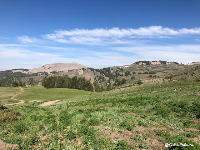
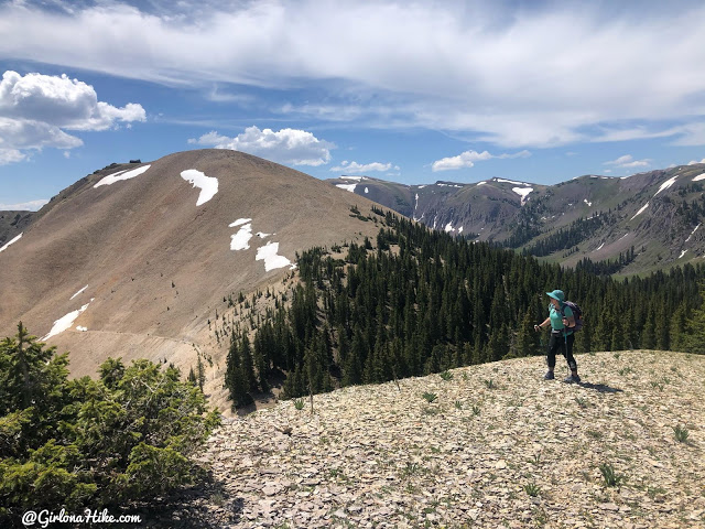
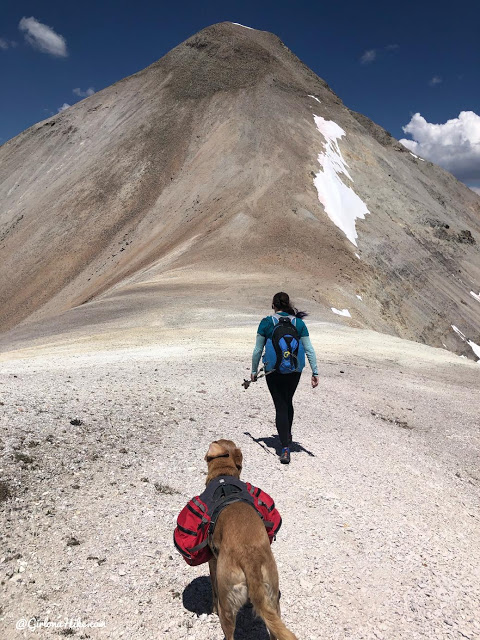
The Poison Creek gate was closed so we parked right next to the creek and began walking along the road. Great view of Shelly Baldy Peak in the distance.
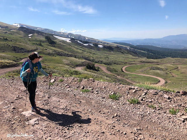
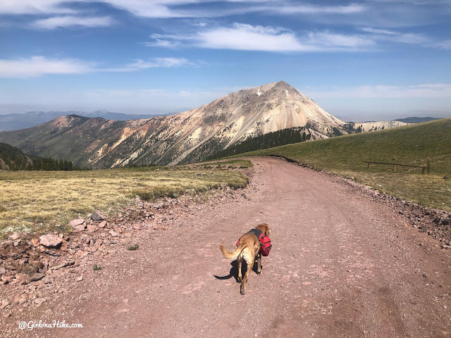
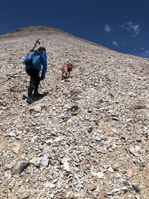
Working our way up the road.
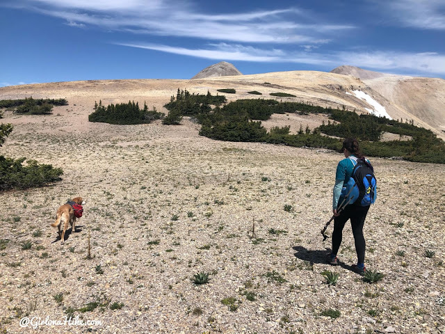
Holly counted 39 goats! See the one on the ridge?!
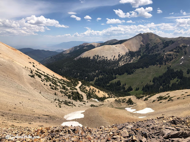
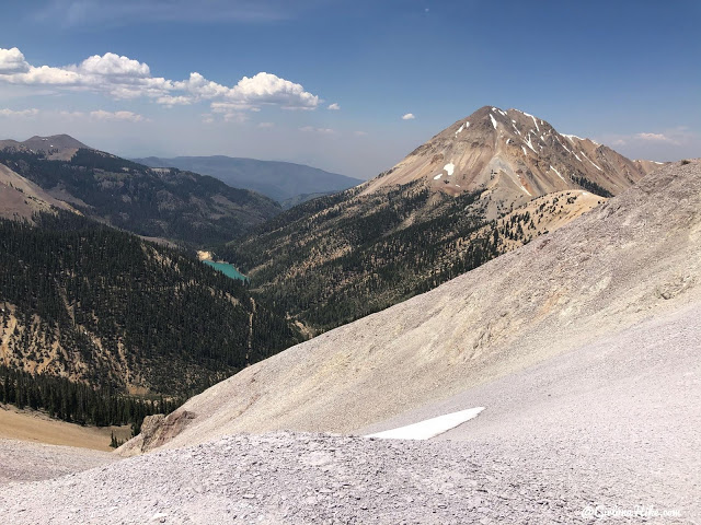
We reached the saddle and had our first amazing view of both Baldy & Belknap.
Dropping down the road for another mile.
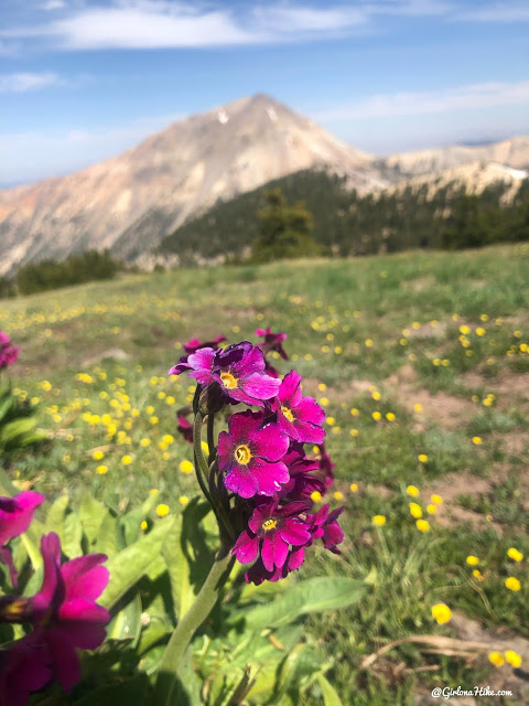
Parry’s Primrose flower
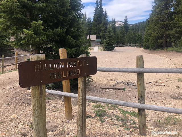
Finally we reach the Bullion Pasture TH. We took a break here, and were surprised to find the bathroom was open and fully stocked with TP.
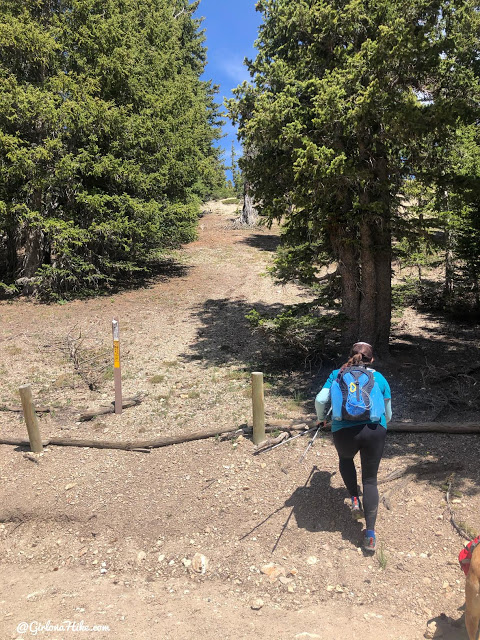
Now it’s time to start the last stretch (or maybe the first for you, if you were able to drive to the TH). Start by hiking straight up beyond this brown post across from the parking area.
Continue following the ridge. This is looking back at an unnamed peak.
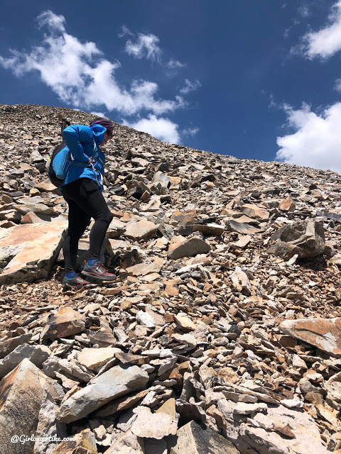
Stay on the ridge, aiming straight for Belknap.
Eventually you will pick up the trail.
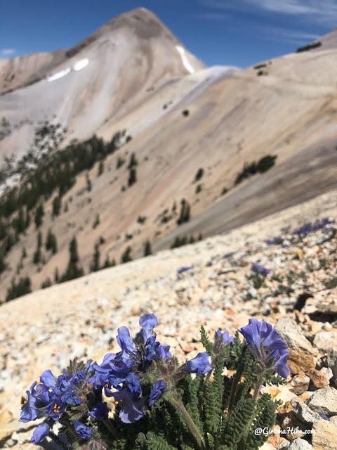
More wildflowers!
Looking down to the East in a small basin, where the road also comes up from the other side.
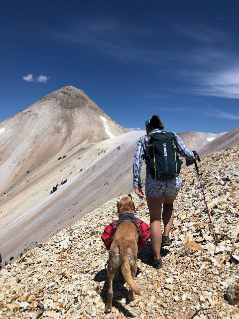
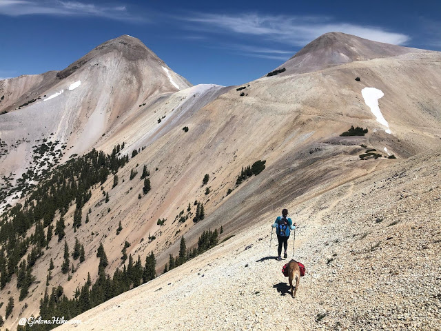
Charlie and I work towards the next saddle.
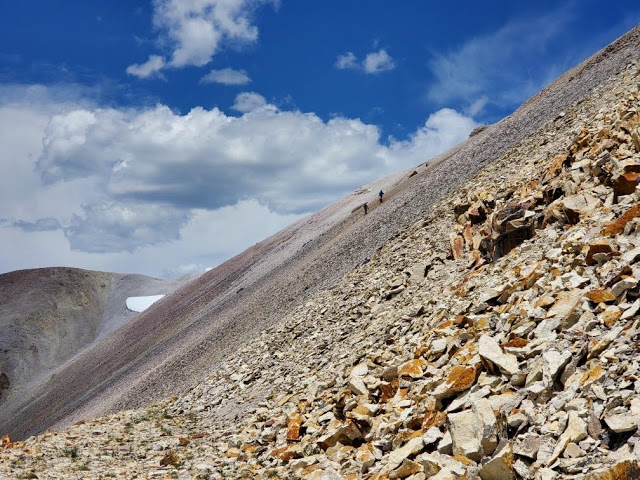
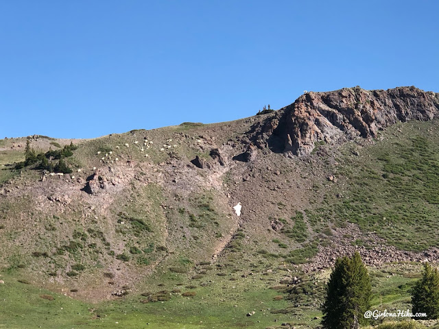
At this point Ashely decided to stay behind, and got some photos of me and Holly crossing the scree slide area. There were two sections that were a little sketchy but not horrible. If you have never hiked in steep scree, this is NOT the hike for you.
Look at us two little ants on the saddle!
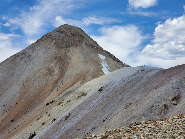
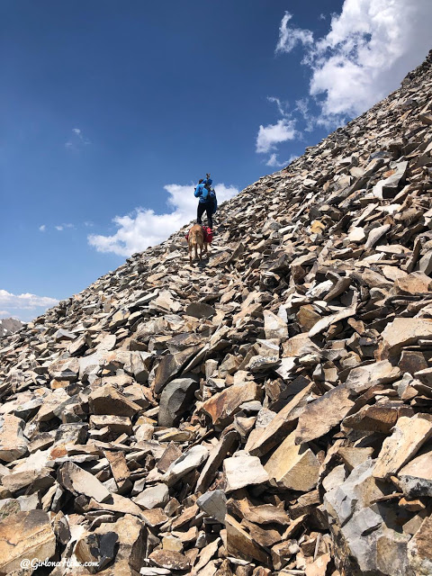
At the base of Belknap, and now I was starting to get nervous. It looked insanely steep. Was I going to able to summit? Would Charlie?
We start making our way up and I have Holly lead the way since she has done this peak before and I also needed motivation to keep going. Not because I wasn’t excited for this peak or tired, but because my stomach was still in knots for being nervous.
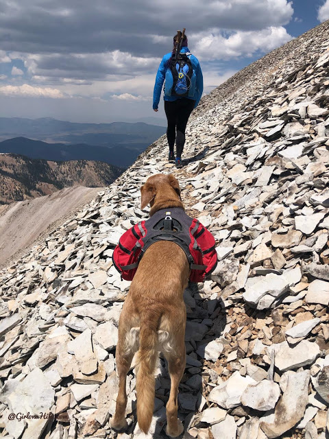
For this steep section I highly recommended bringing trail gaiters to keep rocks out of your shoes. I just ordered these on Etsy and forgot to bring them! I was kicking myself mentally for forgetting them :/
Making traction now! Whew. Keep going. Great view of Blue Lake below.
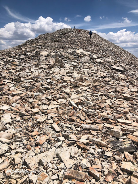
Finally the steep loose scree turns into bigger talus as we gain elevation. Now this, I feel way more comfortable in. I can hike over talus and boulders all day, but throw in scree and I get tense and nervous. I hate sliding around.
Ahh there we go – my favorite! Finally able to stand upright, not on all fours, and we were in the home stretch now.
Charlie’s paws started to hurt from all the rocks. He’s used to this kind of hiking, but after 6 miles he was ready to be done, The trail wraps around the West side of the peak for a minute.
The last 100 feet to the summit!
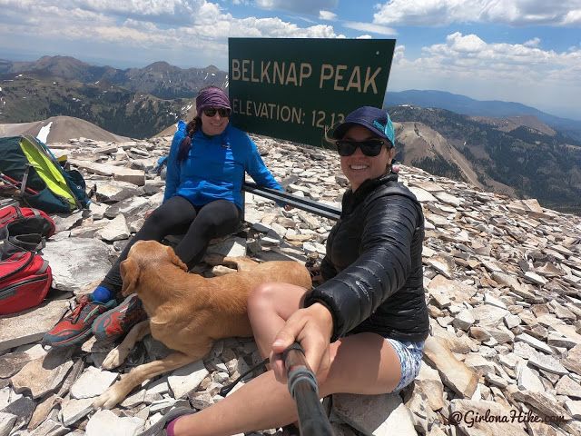
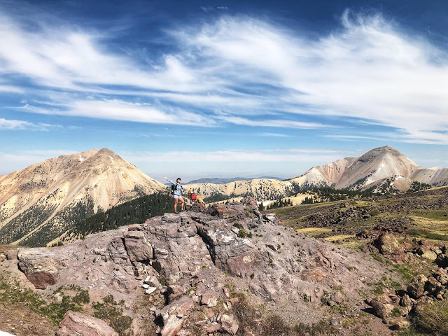
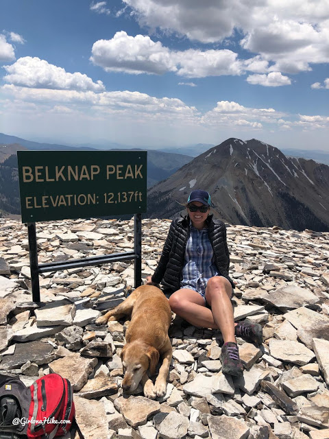
Whoo hoo! We made it to Mt.Belknap! I don’t think I would have been able to summit this without Holly’s experience of already doing it and leading the way. I think if it were just me and Charlie I may have turned around because the whole time I kept thinking, “How am I going to get down this?!” It ended up being way easier for me to get down because you just scree-surf.
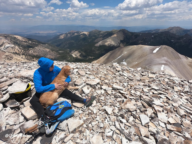
Charlie takes a break in Holly’s lap and enjoys the view. I was so proud of him for summiting with us!
Our original plan was to continue to Baldy, but Charlie’s paws had started to hurt, I was running low on water, we were only half way done and it was already about 1:30pm, and by looking through my binoculars it looked even more intense than Belkanp. It was a hard no for us, and easy to change our plans and call it good here.
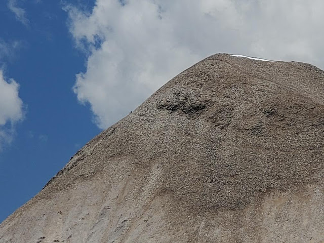
Can you spot us? Ashley was able to zoom in and you can barely see us on our way down.
What a day! This was one of the scarier peaks I have done, at least so I thought on the way up the last stretch, however after summiting and coming down, it wasn’t that bad. This is definitely not a peak for a new hiker/peak-bagger and you (and your dog) should have plenty of peak-bagging & scree/talus experience to summit this one. I ended up loving this and would do it again!
Trail Map
My track via Gaia GPS – the best tracking app! Get your app here for a discount.
Nearby Hike
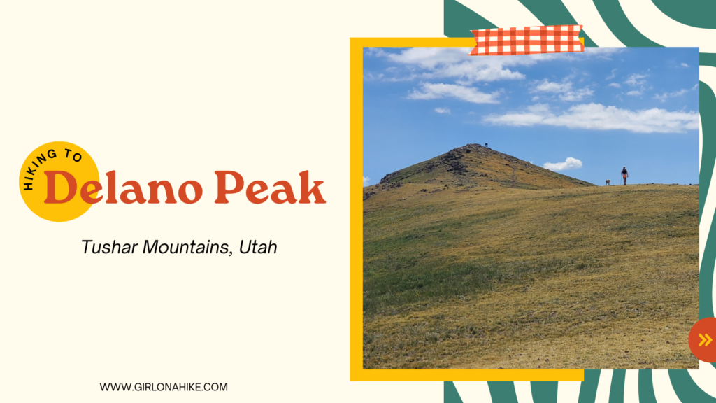
Hiking to Delano Peak, Tushar Mountains

Save me on Pinterest!