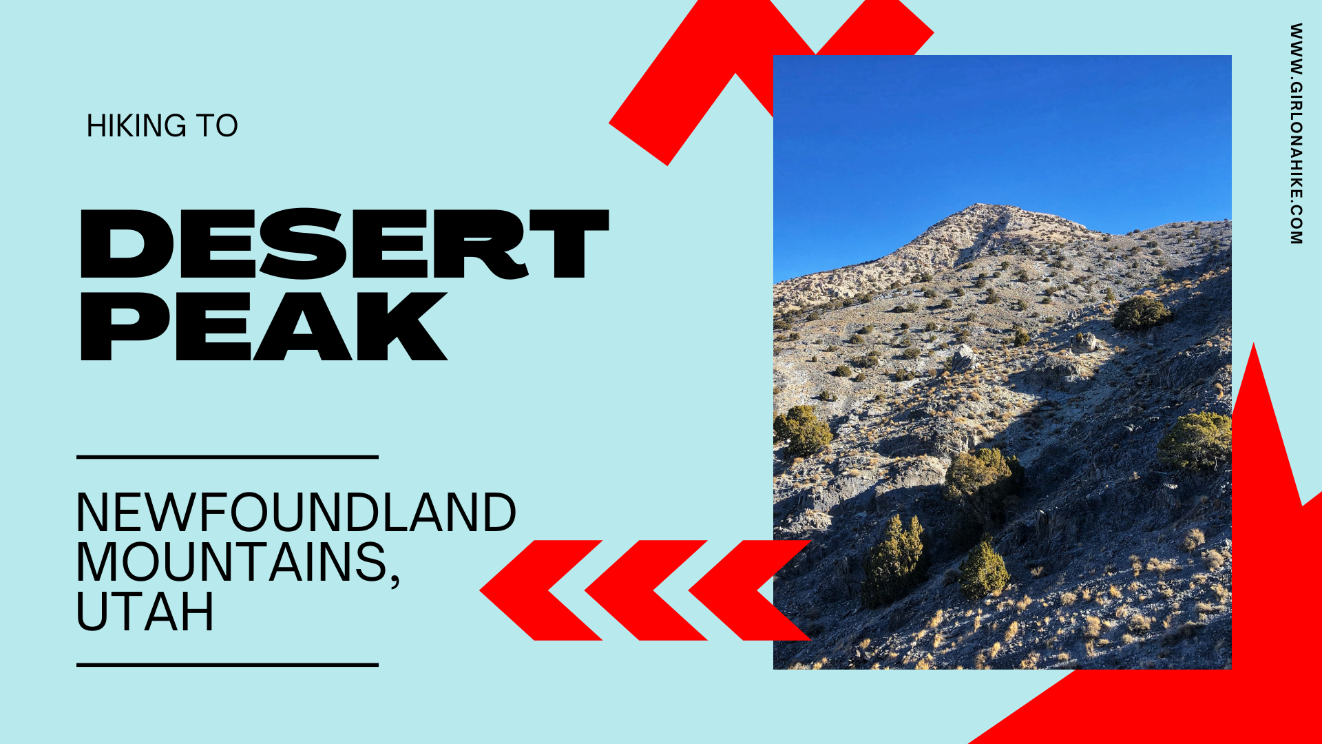

Desert Peak (7,005 ft) is located in the Newfoundland Mountains in the Great Salt Lake, and is the highest point in the range. Getting to the unofficial trailhead takes quite a bit of effort, and it is very tricky timing it at just the right time of year. Because it’s located in the middle of the Salt Flats, any recent precipitation will leave the dirt roads completely muddy and rutted out. There is zero cell service, so you don’t want to risk getting stuck.
About
I have been wanting to do this peak for years, but I never seemed to time it right. I’m a planner so I typically plan at least one month out for all my weekend adventures, but for this one you really can’t. The past two weeks had been extremely dry in SLC, and with the cold temps, I knew I had to get out there quick before the next storm. The other thing I was worried about was the road – you’re in the middle of nowhere so if you get a flat tire you have to be self-reliant enough to take care of it or call for help somehow.
So for this reason, I knew I wanted a friend to come with me so we would have two cars. Yes, driving separately wasn’t great for saving or sharing gas, but I just didn’t want to risk being out there in one car. I also brought my ZOLEO device as a third backup. If both our cars had a flat, I could at least call an SOS with it. The last stop for gas is in Delle, UT.
Other than the drive, the hike itself is pretty easy. Depending on how far you can drive up, it’s only around 1-2 miles to the summit with 1800 ft elevation gain. It’s steep and has a few loose scree spots here and there, but overall is an easy summit. Dogs can definitely do this hike as long as their paws are used to some harsher rock and scree. Always carry a dog first aid kit and booties for emergencies, and it helps to apply paw wax after you get home and rinse off their paws to heal. Carry plenty of water, even in winter. I even brought my 5 gallon water tank, dehydrated meals, and a small gas can in my car in case we got stuck.
Thankfully we timed this hike perfectly in early December, and had a great day in the desert!
Directions
The easiest way to get there is via I-80. Take exit 62 for the Military Exit. As soon as you exit, the road curves left – follow the sign for Lakeside. Follow this road for 15.6 miles. Turn right at delivery sign that says, “All delivery & munitions laden vehicles stop here” (pictured below). If you reach the military base, you went too far. Left at stop sign. Drive past “gate closed” signs (they should all be open unless the are doing mining/explosive work. In that case, you are out of luck and will need to come back on a different day. Weekends seem to be quiet and the best time to come).
Drive all the way to the end as you curve around the end of the mine area. Cross over the train tracks on the northern end. As soon as you cross over reset your odometer to zero, and turn left. If you have the ability to deflate your tires, now is the time. Drive 24 miles until you reach the one and only stop sign. Turn left at the sign. I don’t know how to do that (yet), so for me it was quite a rough ride and never drove more than 25-30mph.
Drive 1.5 miles down a very rutted road. You shouldn’t need four-wheel-drive here but it would be nice to have just in case. Reset your odometer again, and turn right. At 3.5 miles reach a Y in the road stay right. At 6 miles you will reach another Y, and veer left. This is where you will need park if you don’t have high clearance. I had to park here because even though I have 4×4, I don’t have enough clearance. I hopped into Felixs’ Jeep, which has an extra 3 inch lift. Drive up as far as you feel comfortable or want to, then start hiking.
You can’t pull this up on Google/Apps maps because it doesn’t understand how to correctly get there.
Download this driving map PDF I created here.
Optional route is to take the Salt Lake Causeway. We took this on the way back because we thought it would be faster, but it added on about 1.5 hours for me to get home. However, if you live in Northern Utah (or at least North Salt Lake and further North), this would be the faster way. You can view both my driving routes plus the hiking route on my map at the bottom of this post.

The big white sign to turn right at, at mile 15.6. You’ll see on my map below we accidentally went straight and ended up at the base. Whoops!

At the end of the mine in Lakeside, you will cross over the railroad and turn left. This is where I would deflate your tires, if you choose to. The first 3 miles of this section of road are awful and super washboardy, but it does get slightly better. It will also depend on the time of year you do and how dry or wet it has been. I just planned on the worse case scenario.
Trail Info
Distance: Depends where you park,
but I tracked 1.6 miles one way. If you park at the “Y” it’s close to 3-4 miles one way.
Elevation gain: 1800 ft
Time: 2-3 hours to hike, but plan for a full day with all the driving
Dog friendly? Yes, off leash
Kid friendly? Yes, ages 10+ if they’re comfortable with class 2 scrambling
Fees/Permits? None
FAQs
When is the best time of year to go?
Winter (November through March) seems to be best due to cool temperatures and dry roads. Summer is monsoon season so there is a risk of getting stuck on a very muddy road, there are horrible gnats, and very hot temperatures. Spring is also typically too wet to drive out there. Timing this area is very tricky because when the road gets wet it can take up to two weeks to completely dry.
Is this a good hike for kids and dogs?
Older kids should do fine as long as they are comfortable with class 2 scrambling. Dogs are welcome here off leash as well, however I would avoid going in the summer as the sand and slickrock can burn their paws and they have a higher risk of dehydration. Even in December between me and Charlie we shared 2 liters of water!
Anything special I should know?
Be prepared with a satellite communicator like a ZOLEO, detailed road map, water, gas, and food. Know how to deflate your tires for the rough roads if possible, and have the gear to get pulled out if stuck. I’ve heard many horror stories of tires getting popped by old railroad nails and glass bottles.
Can I camp here?
Yes, this is all on BLM Land so camping is free. Just try to pick a spot that has been previously been used.
Let’s get hiking!


If you have high clearance drive up as far as you can/want. Find a good spot to pull out then just start hiking along the road.

Can you spot the big horn sheep?

Walking by old mine equipment. Desert Peak is just right up there. Seems so close!

Almost to the saddle.


And looking back down from where we hike up.

Now just follow the faint trail along the ridge. For the most part you can find footprints from other recent hikers or find tiny cairns.


This section has some light class 2 scrambling here. You only need to use your hands for balance – just be careful of the loose scree. Charlie needed one boost up this section otherwise he did it all himself.


Now, all you have to do is keep following the ridge to the peak.

Funny enough, there were a handful of these sticks marking the way but this was the last one.

Don’t forget to look back at the rest of the Newfoundlands! That white horizontal line in the distance is inversion. Yuck!

Whew, it gets pretty steep! The “trail” is very faint, but just try and look for old footprints. When in doubt, just keep straight and high on the ridge.

Getting closer, we hiked around these cool rocks.

Exploring a small ridge.

Charlie beat us to the top as usual!

Whoohoo! I’ve been wanting to summit Desert Peak for so long and I finally did it! Feeling pretty good here. Couldn’t have asked for better conditions.

Found two summit markers.

Felix & Charlie take in the views.


So much easier going down ha!

On the way back we drove home on along the Causeway. And while it was very pretty especially at sunset, it took much longer for me to get home. Always glad to see something at least once though!


Goodnight!
Trail & Driving Map

Save me on Pinterest!