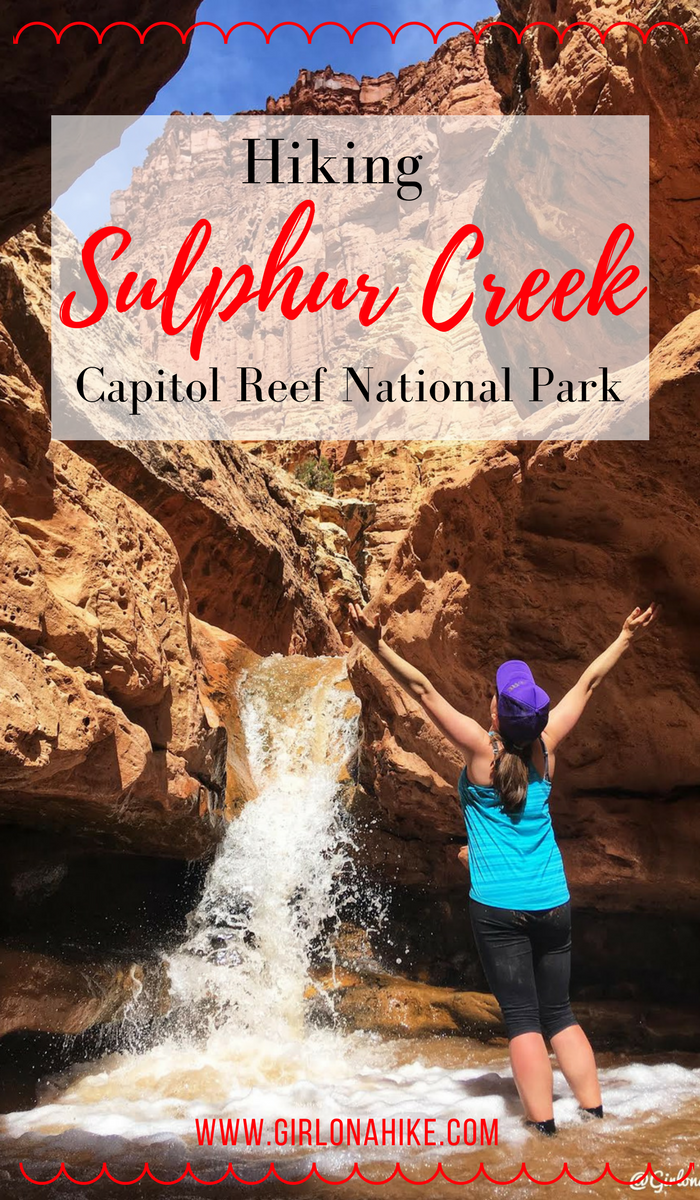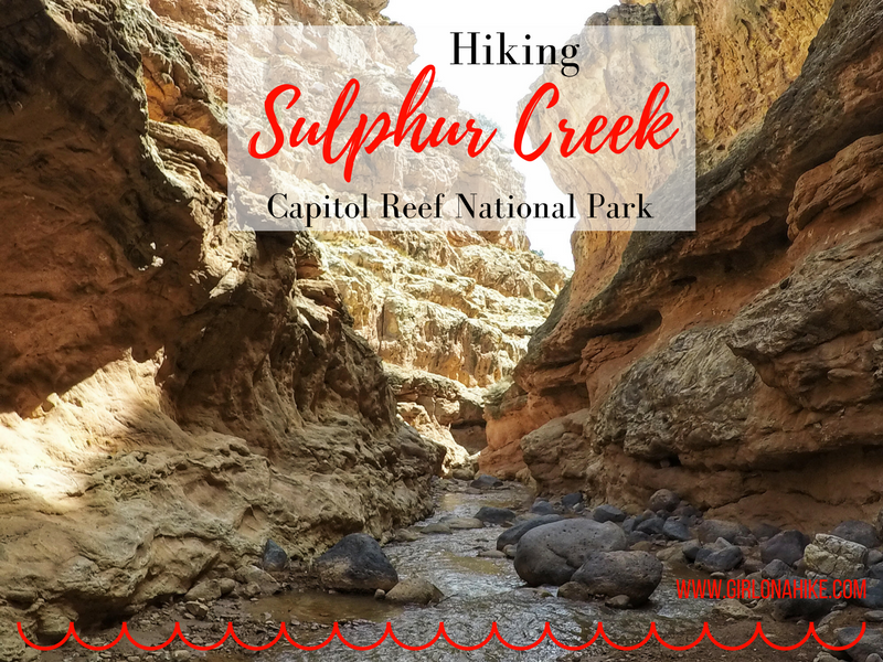
Hiking Sulphur Creek – Capitol Reef’s Hidden Water Canyon Adventure
Sulphur Creek is one of Capitol Reef National Park’s best-kept secrets—a stunning 6-mile water hike that winds through a narrow canyon filled with subway-like channels, layered red and orange sandstone, and three scenic waterfalls. Often compared to Zion’s Subway or The Narrows, Sulphur Creek holds its own as a unique and thrilling adventure.
About
Sulphur Creek is a must-do hike for those visiting Capitol Reef National Park, offering a fun mix of canyon exploration, light scrambling, and water adventure. With epic sandstone walls, waterfalls, and narrow channels, it’s one of the park’s most memorable hikes—just be sure to go prepared, cautious, and informed.
The water is typically ankle-deep, making this a relatively easy but exciting hike for those who enjoy slot canyons, water crossings, and epic desert scenery. One of the waterfalls even requires you to slide down a smooth 5-foot drop—a fun and memorable part of the route!
Best Time to Hike Sulphur Creek
The ideal months to hike Sulphur Creek are April through October, when daytime temperatures are warm and the water feels refreshing. While the route is accessible in winter, be prepared for cold water conditions and icy surfaces:
Winter Hiking Tips:
Wear neoprene pants and waterproof layers
Expect slippery conditions
It may be difficult to descend the third waterfall due to ice and cold water
⚠️ Safety Update – August 2019 Flash Flood Impact
A flash flood in August 2019 significantly altered the Sulphur Creek route. Please read the following updates before attempting the hike:
-
A mandatory swim is now required at the narrow constriction below the 2nd waterfall
-
Another swim may be required after the 3rd waterfall if the bypass trail is not used
-
The National Park has reported several search and rescue incidents due to falls at a 9-foot drop shortly after the final waterfall
-
Do not attempt to downclimb the drop canyon right—it is extremely hazardous
Important: You enter Sulphur Creek at your own risk. Always check current trail conditions at the Capitol Reef Visitor Center before hiking.
Directions
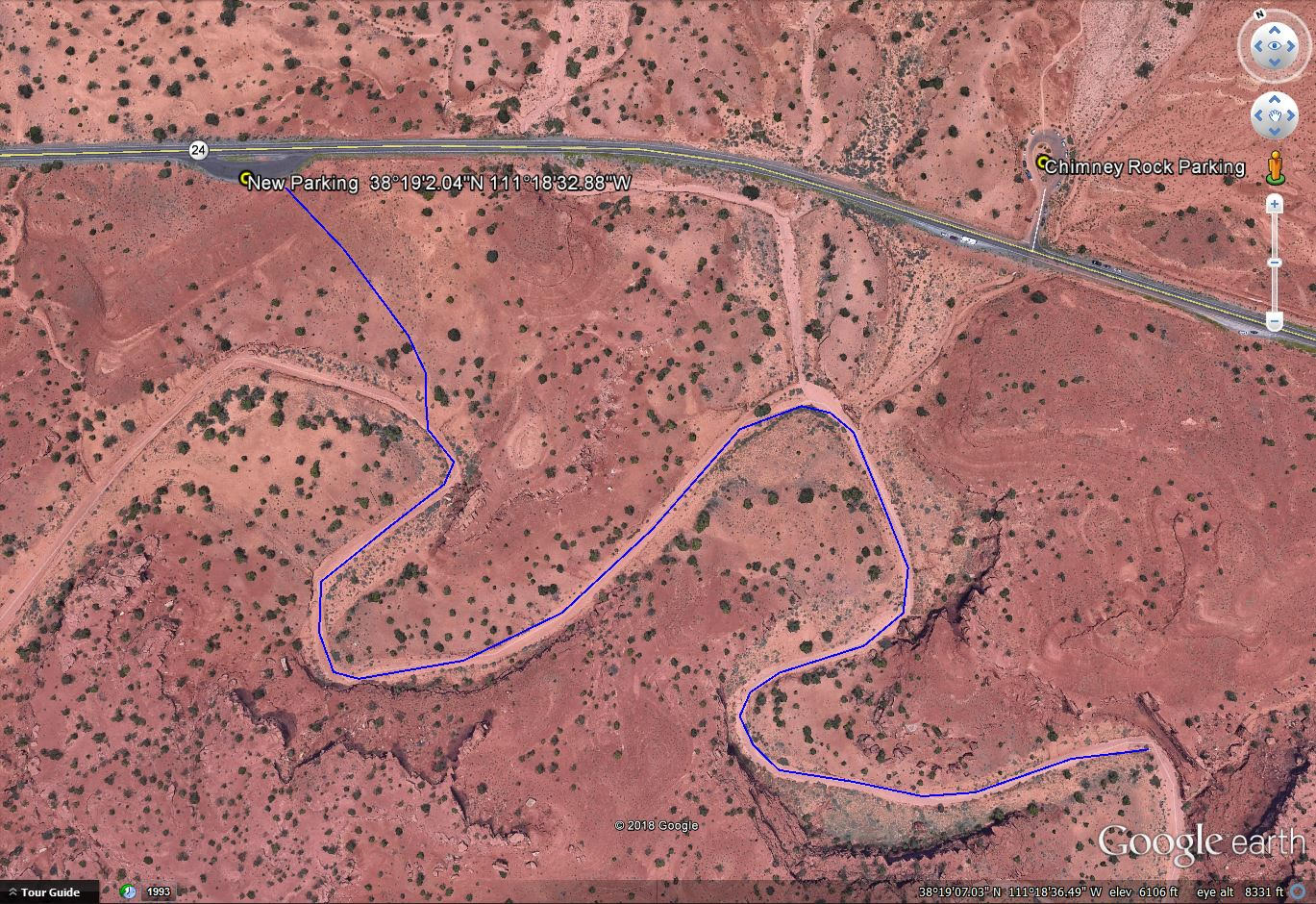
From the CRNP Visitor Center, drive West on HWY 24 for 3.2 miles.
UPDATE for September 2018
The trail now begins 0.25 miles west along HWY 24 from the Chimney Rock TH, on the south side of the road.
Here’s a driving map.
Trail Info
Distance: 6 miles point-to-point
Elevation gain: 97 ft (-640ft)
Time: 1-2 hours
Dog Friendly? No, dogs are not allowed on this trail
Kid Friendly? Yes!
Fees/Permits: None
Hiking Sulphur Creek: What to Expect
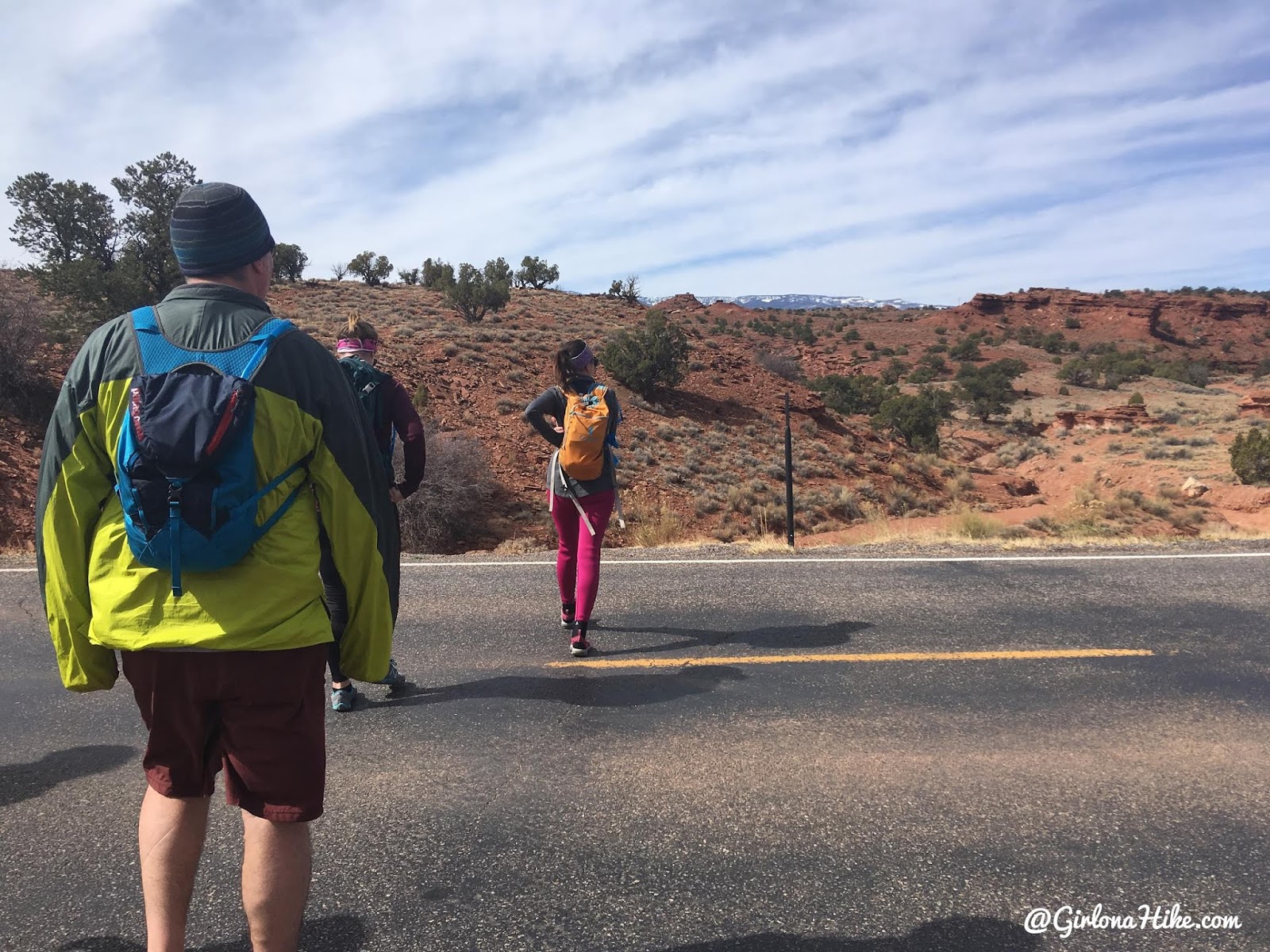
Park at the Chimney Rock TH and walk across the road to start hiking.
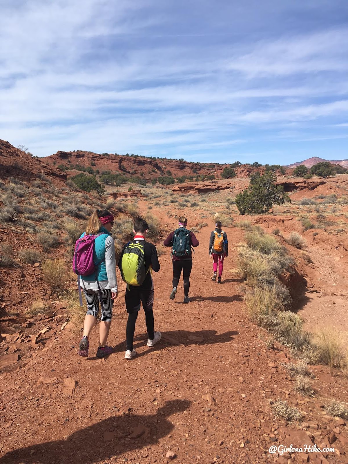
There are no signs for Sulphur Creek, so it’s a good idea to have a map or GPS handy. I use Gaia GPS for all my map needs and tracking. When you get into the next wash, turn left.
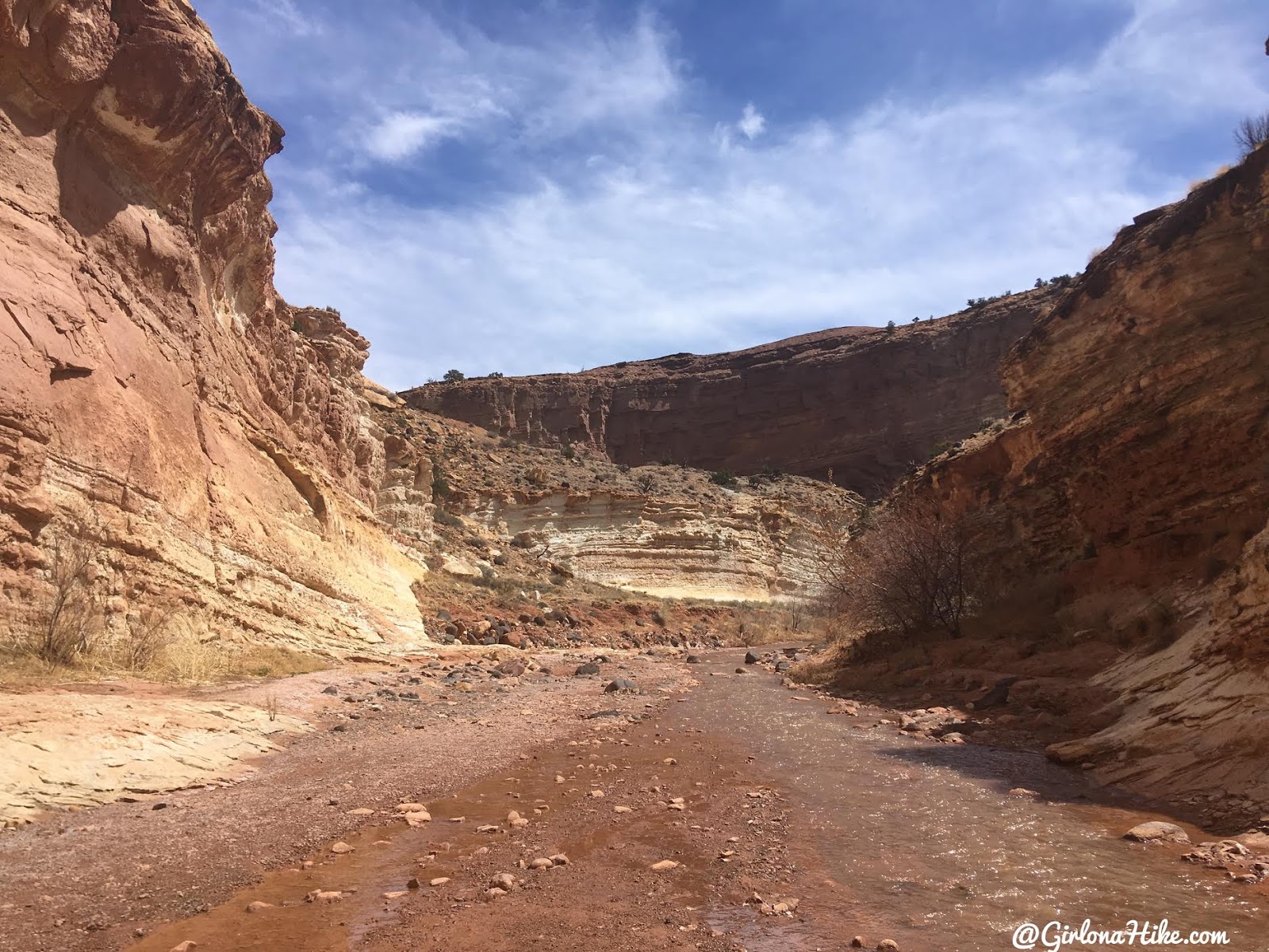
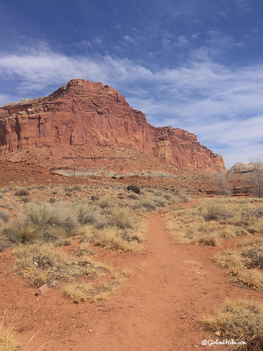
You’ll walk in this dry wash for 1.5 miles.
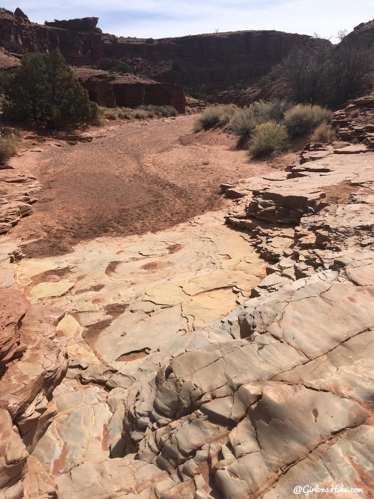
Smooth rock surfaces indicate that this was does get water often.
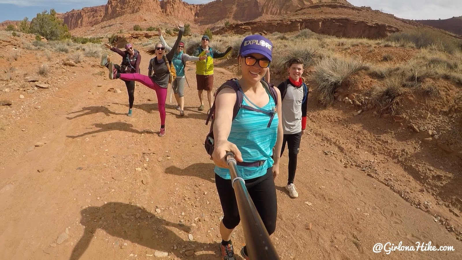
Excited to be hiking!
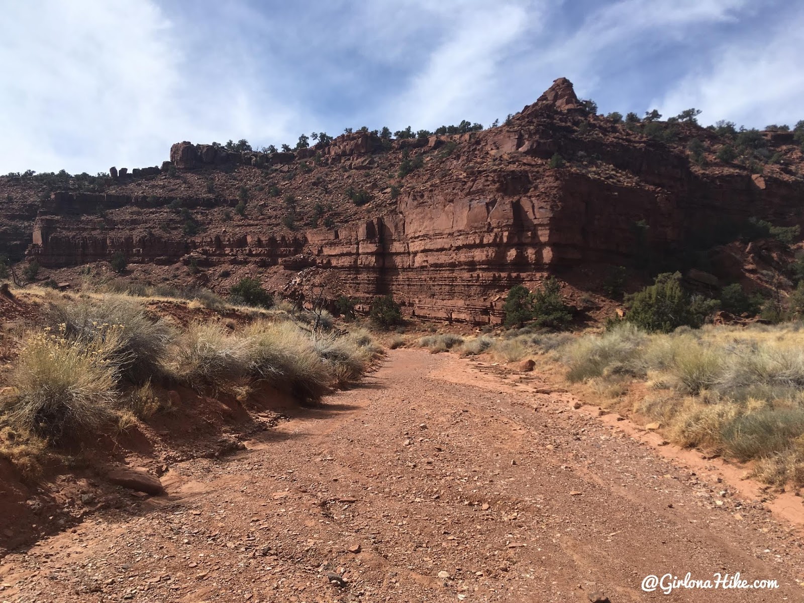
You’ll drop down a 4-5 ft dry fall, but it’s easy to bypass.
Reaching Sulphur Creek
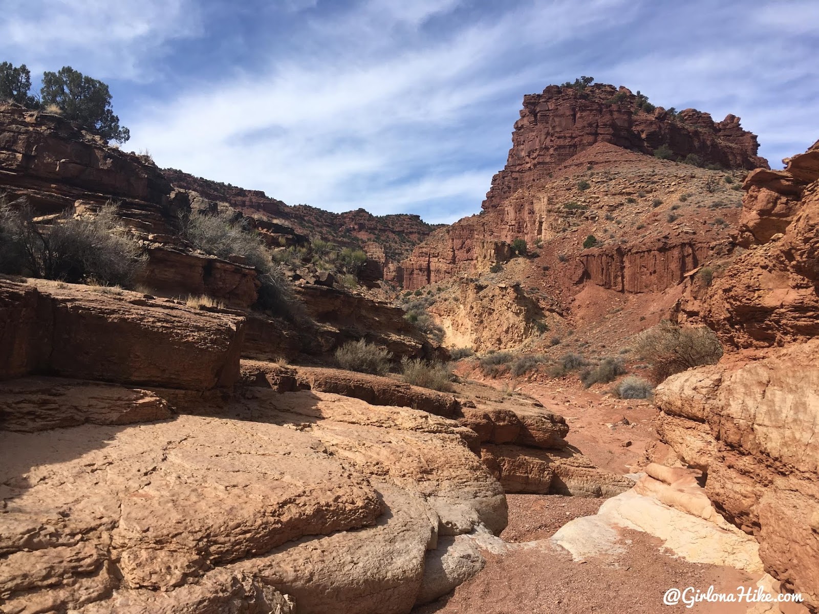
Finally, Sulphur Creek! Turn left, and now the fun begins!
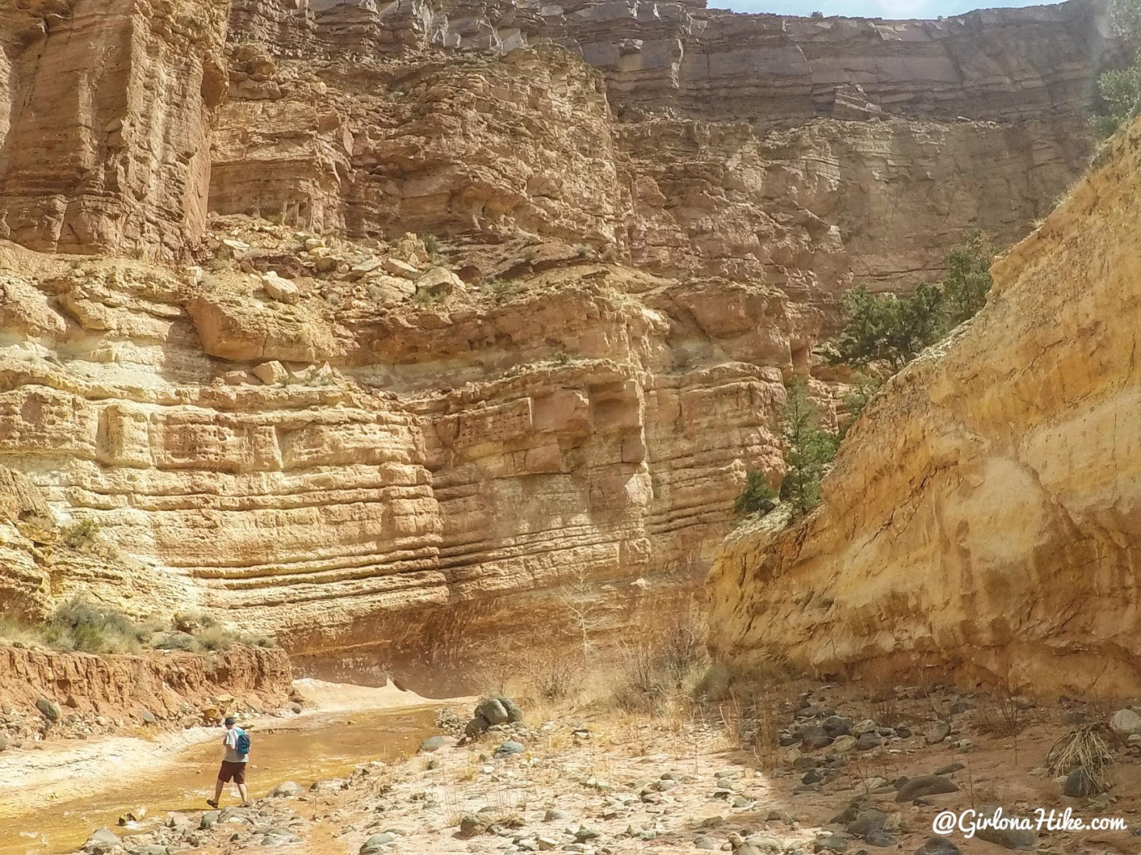
The cliffs gradually get taller, up to 600 ft at one point below the Goosenecks Overlook.
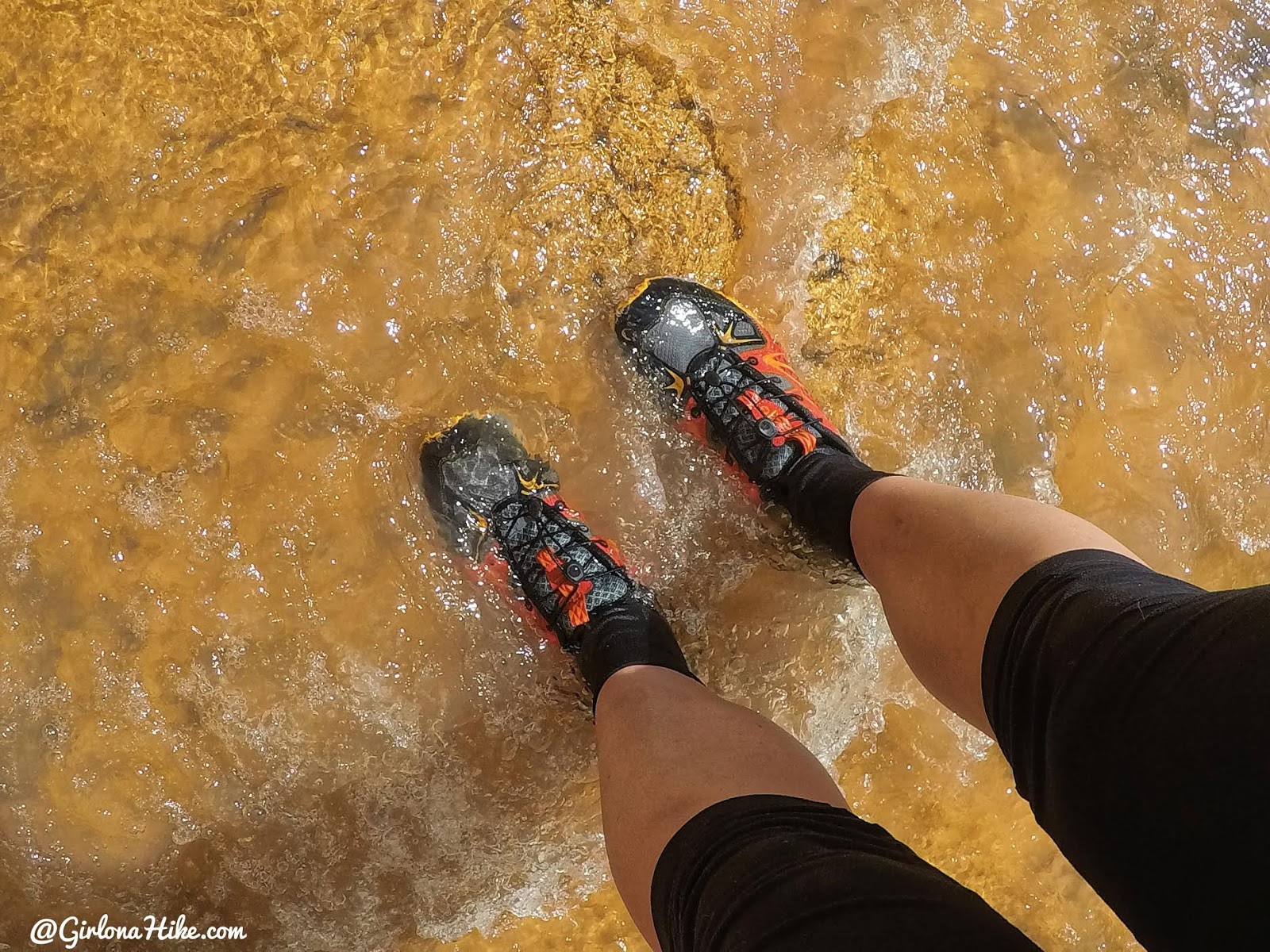
The water was so clear!
I highly recommend the Merrell Capra Rapid water hiking shoes, along with neoprene socks (links below). I love these water shoes because they don’t let rocks through.
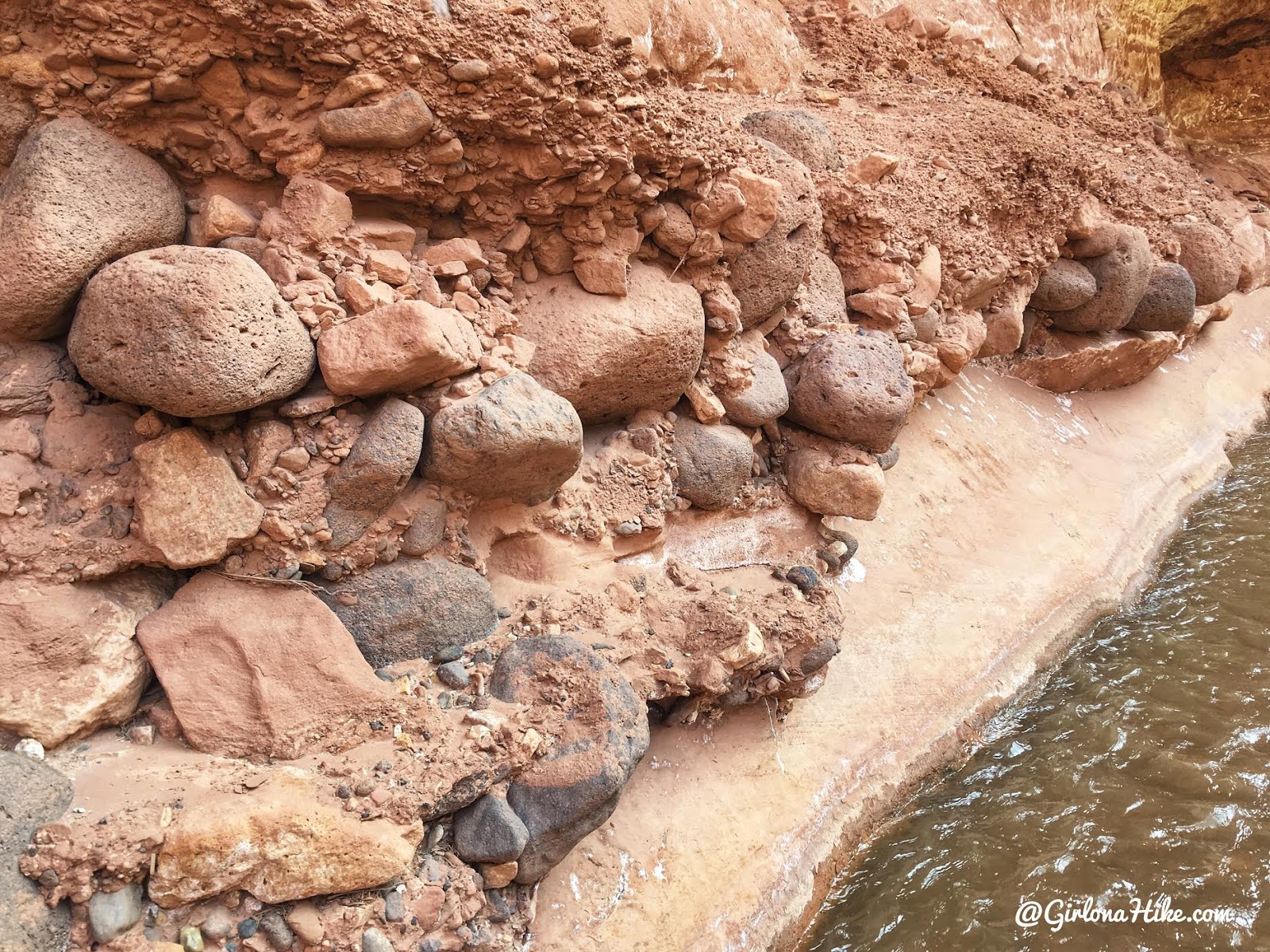
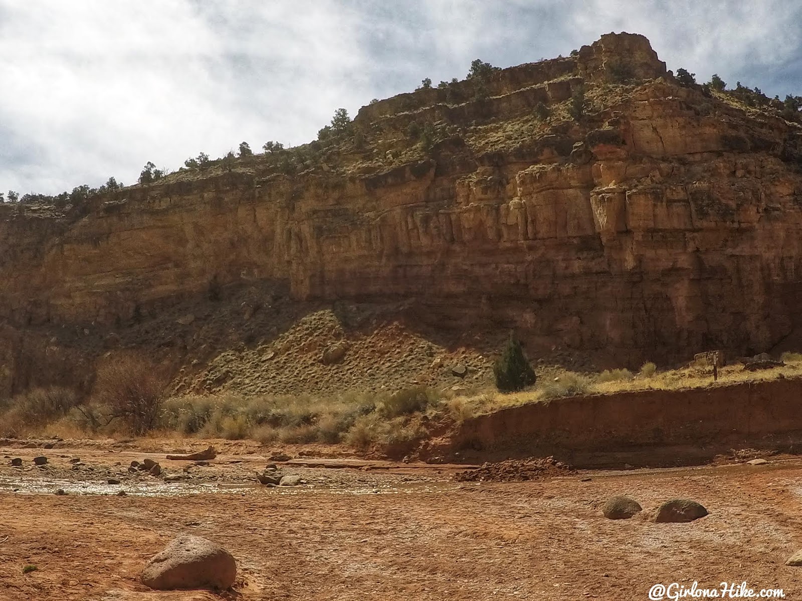
Large imbedded rocks along the sides of the canyon.
Slow the canyon starts to narrow.
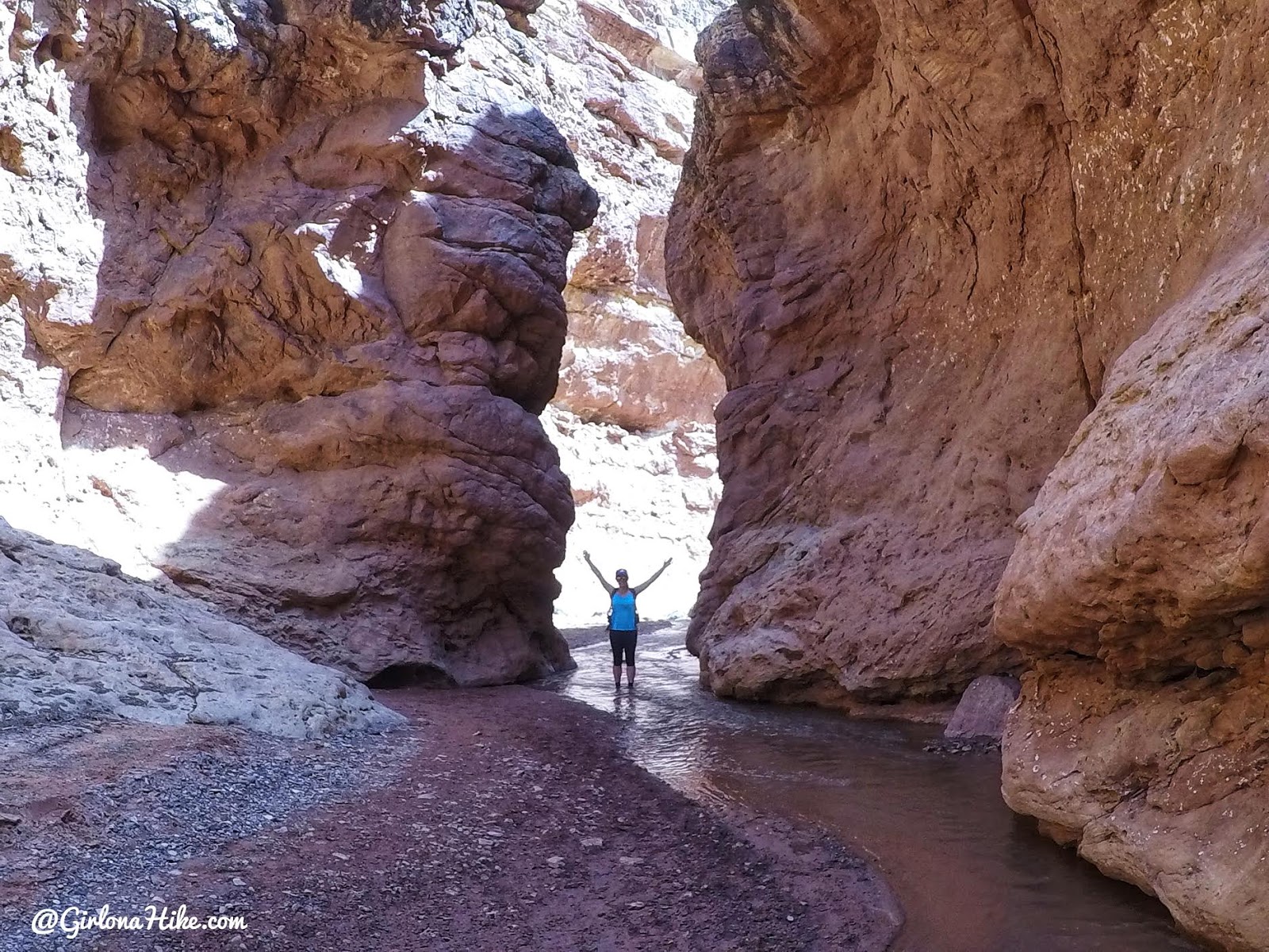
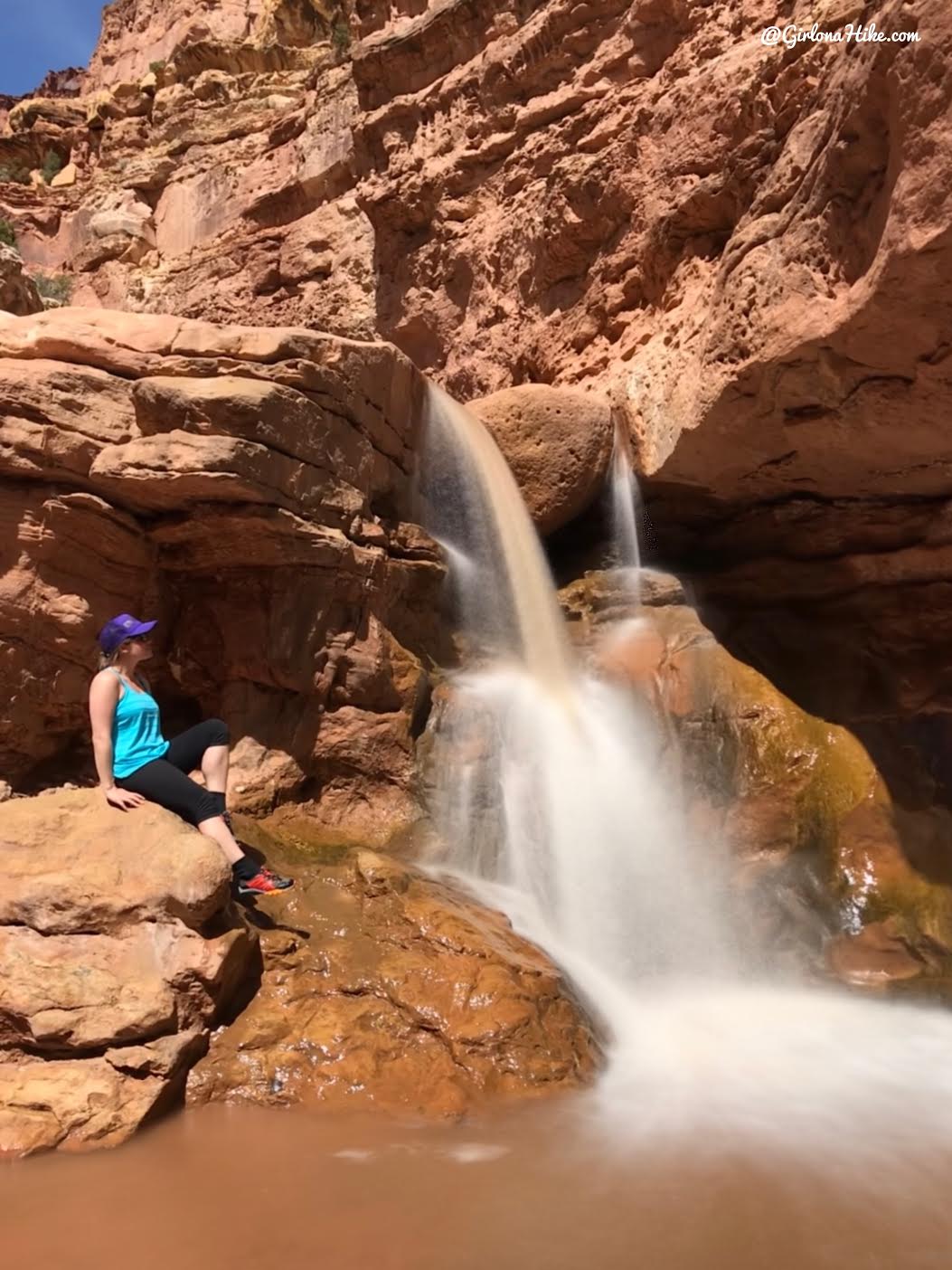
Waterfall #1
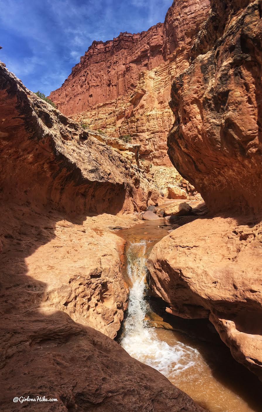
Reach the first waterfall. You can bypass it on the right side. But don’t forget to look back at this amazing view!
Bypassing the waterfall.
Same waterfall, this time at the base. Loving life!
Water hikes are the best! So happy!
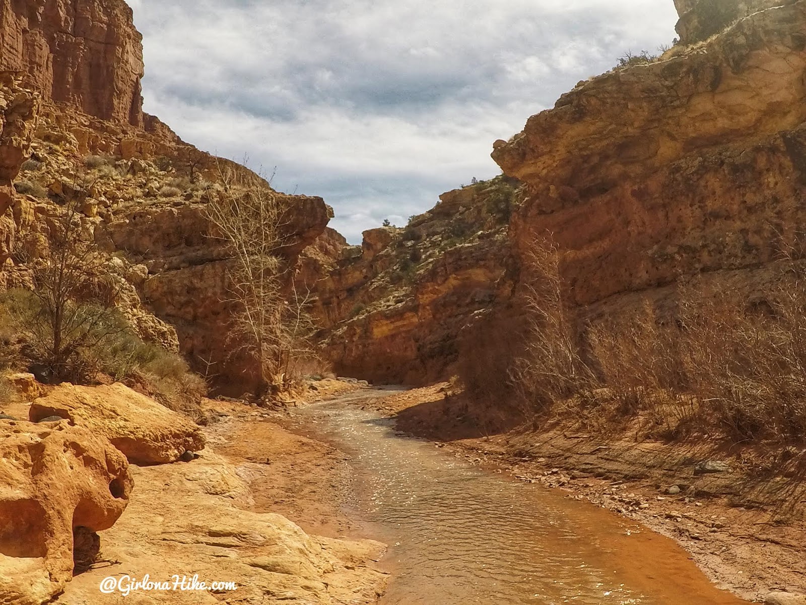
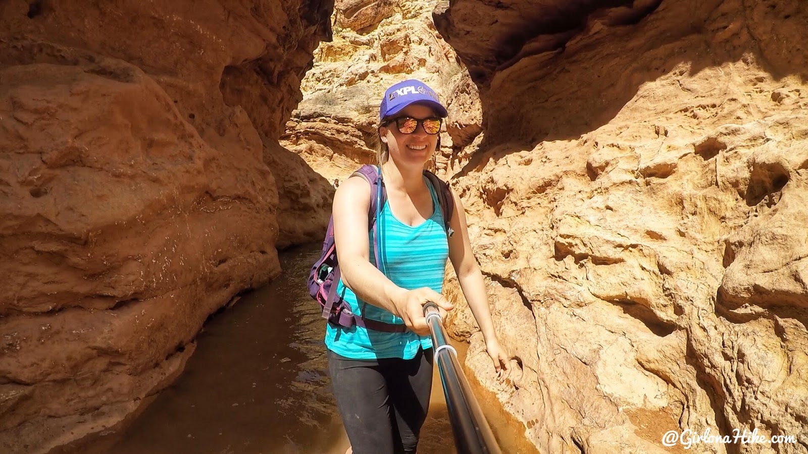
A very narrow section along Sulphur Creek.
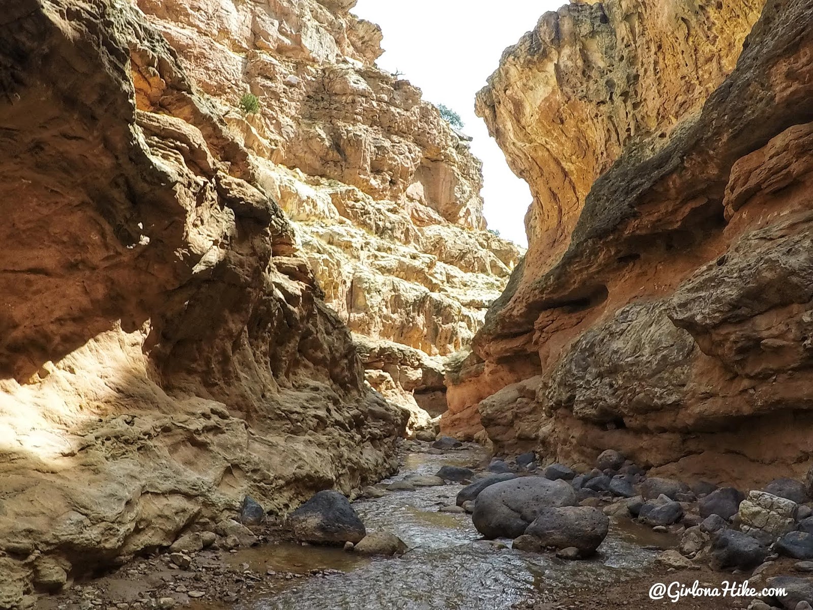
The canyon again gets tighter, and you’ll hear the rush of water. Another waterfall is ahead!
Waterfall #2
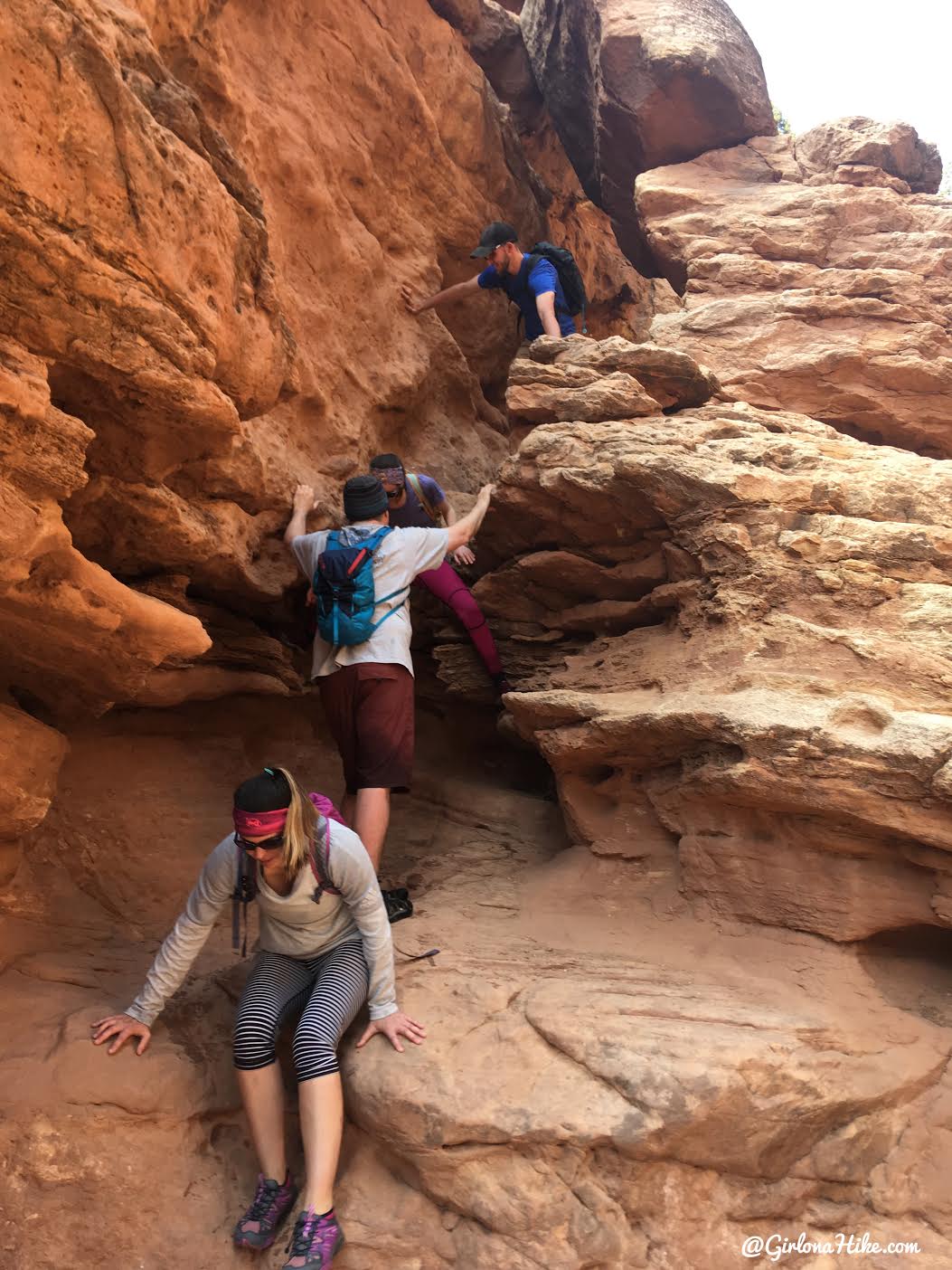
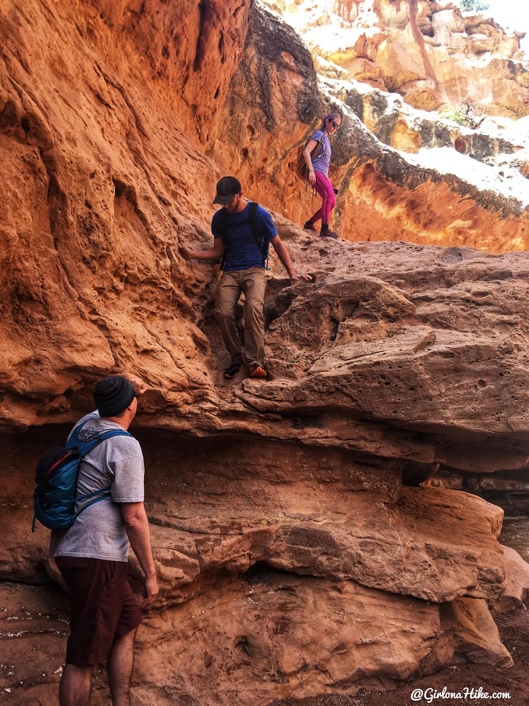
Bypass the 2nd waterfall on the right. This one is a little harder but still doable.
**UPDATE **
August 2019
A flash flood has created hazardous conditions in Sulphur Creek. There is now a mandatory swim at the narrow constriction below the 2nd waterfall, as well as a swim after the 3rd waterfall if the bypass trail is not used. Due to the swim at the waterfall, the National Park has had several search and rescue incidents from falling while attempting to climb down a 9ft edge down canyon right after the final waterfall. You enter Sulphur Creek at your own risk.
Pop down through this hole.
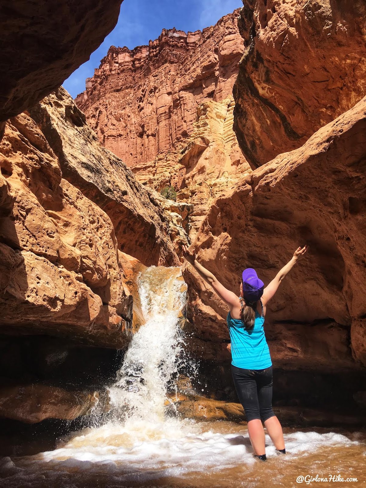
Second waterfall – amazing! We stopped here and took a snack break. It was perfect to sit along the rocks and soak up the sun.
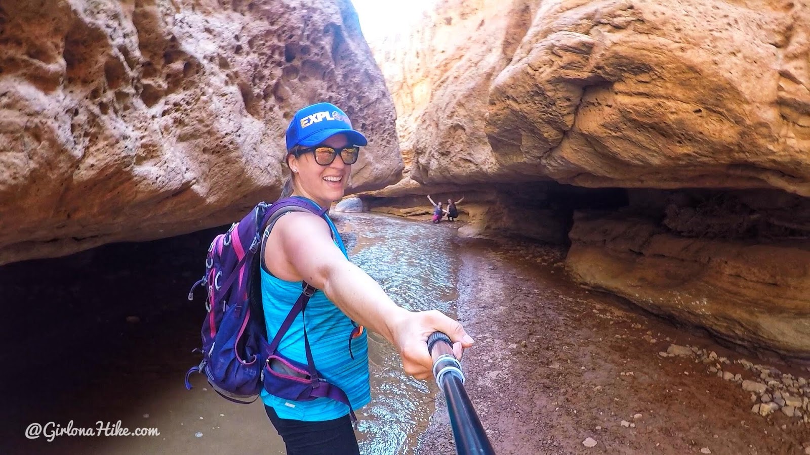
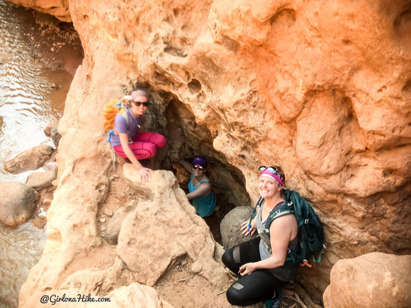
Right around the corner from the waterfall you’ll pass through this
cave-like channel where the water has carved sideways into a soft layer, beneath the still intact strata-rock above. This is what people call the “subway” section.
Waterfall #3
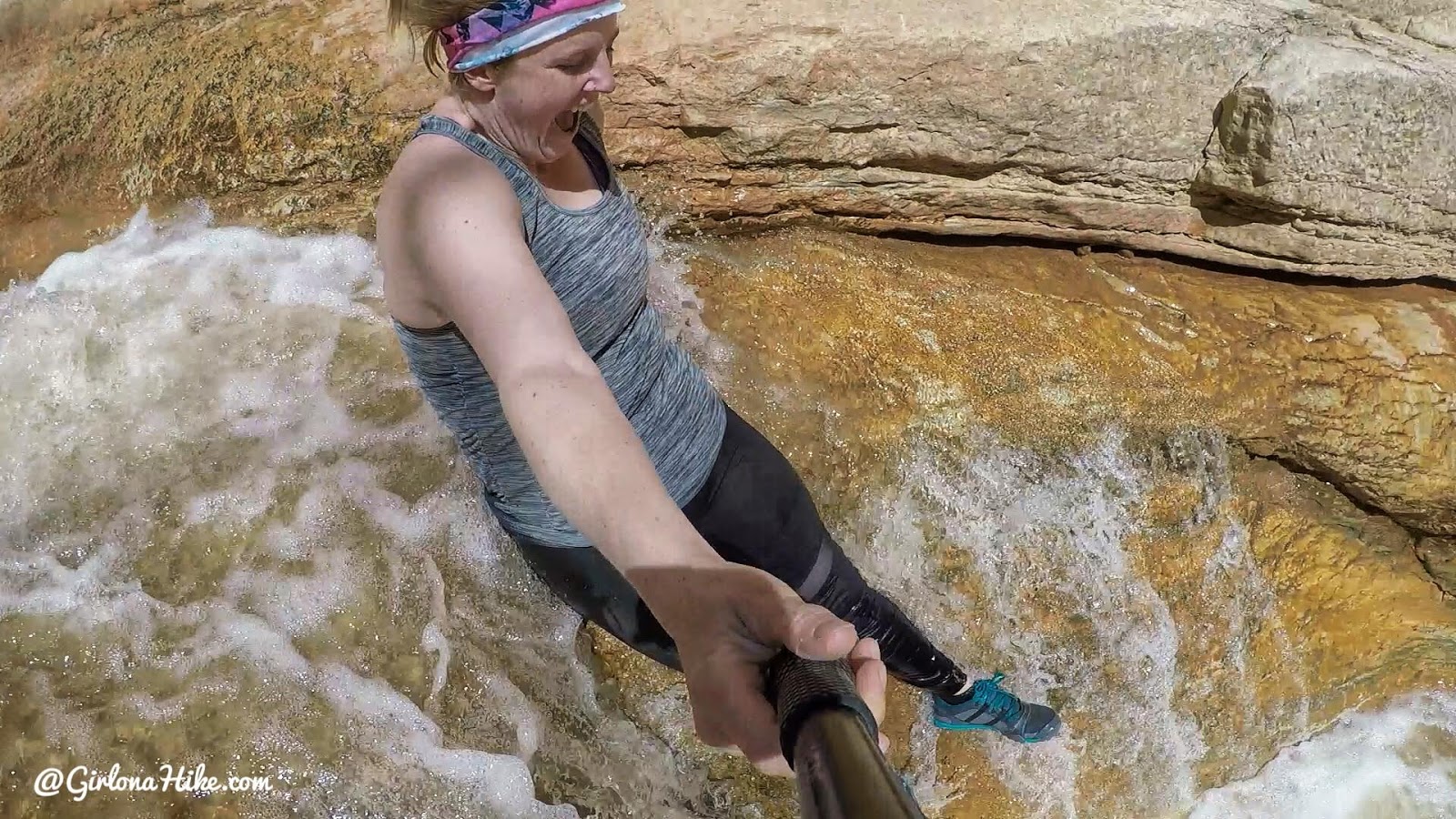
The third and final waterfall is only a little further and this one is the best because you get to slide down it into a pool about hip deep! This angle makes it look really steep like a drop off, but it was only about a 4-ft slide into the pool. It was a great way to cool off!
Around mile 4.5 the canyon starts to open up, and if you wanted to backpack here (permit needed) then this is the best area to camp to the left (just around the corner) as the campsites are in a viable area, meaning safe from flash floods and in between Juniper and Sage trees to there’s some shade.
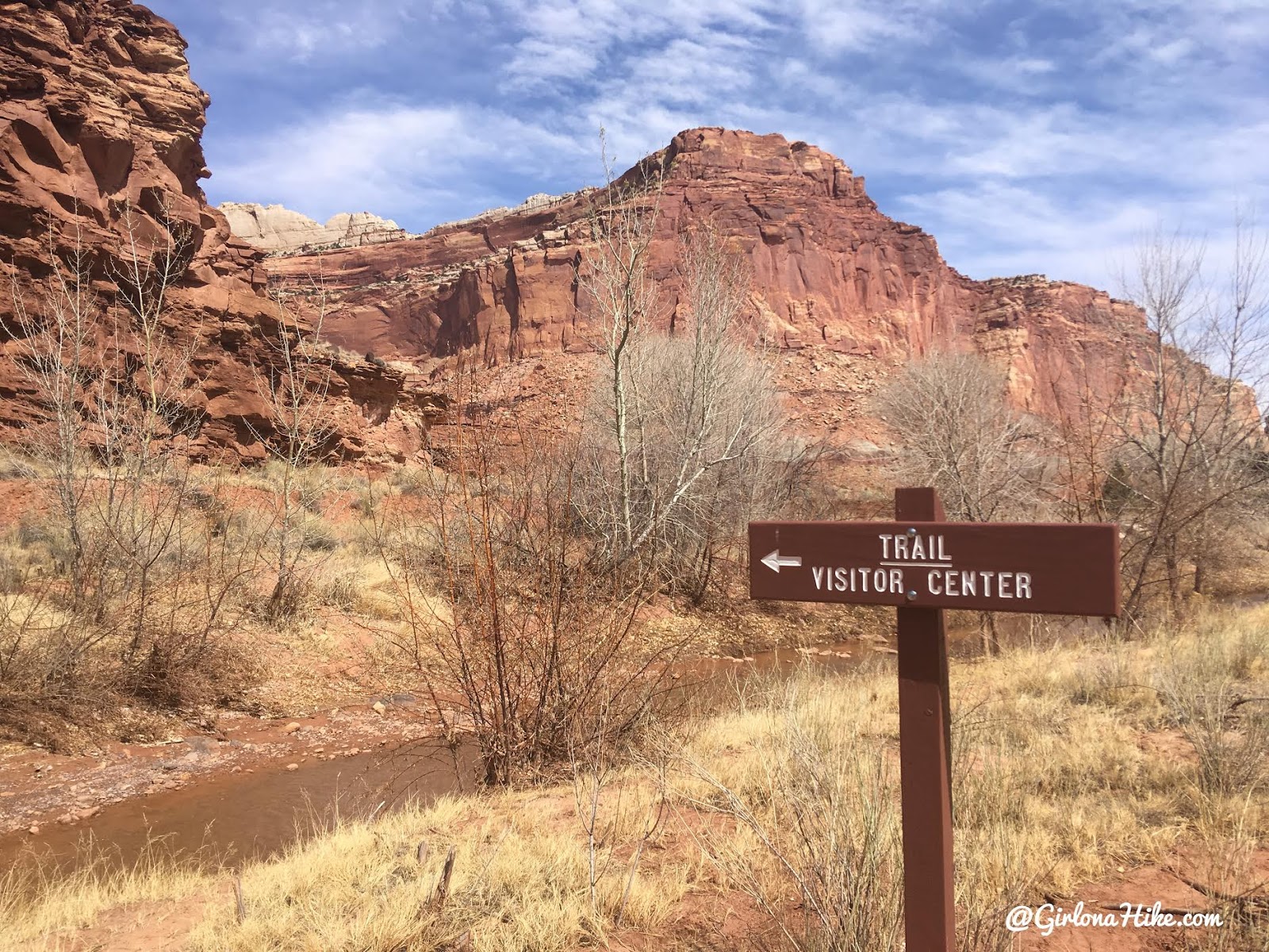
Keep an eye out for the visitor center sign. Turn left here, cross the creek, and pick up the now dry trail back to where you should have your 2nd car parked.
You’ll pass a small kiva to your left (not pictured), and you know you are close when you see power lines and the orange rock wall ahead.
End of the Hike
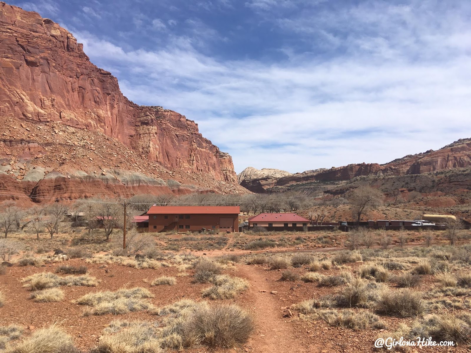
Make your way back to the visitor center.
Goosenecks Overlook
After our hike we want to see where we just hiked by stopping at the Goosenecks Overlook, a mere 3-5 minute walk to look down into Sulphur Creek.
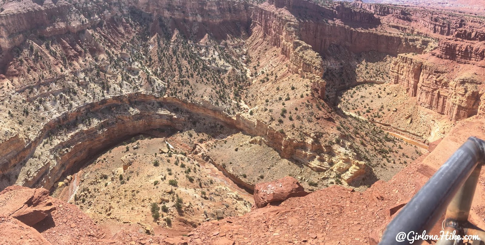
That’s where we just were!
Great views from the overlook!
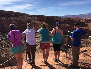
Taking in the views!
Can’t wait to return to CRNP!
Trail Map
My track via Gaia GPS – the best tracking app! Get your app here for a discount.
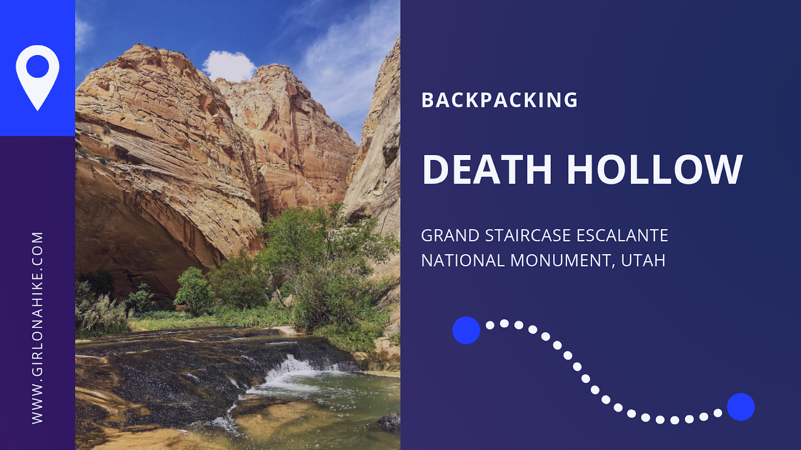
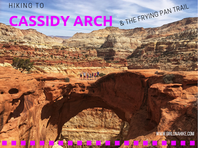
Nearby Hike
Cassidy Arch & the Frying Pan Trail

Save me on Pinterest!