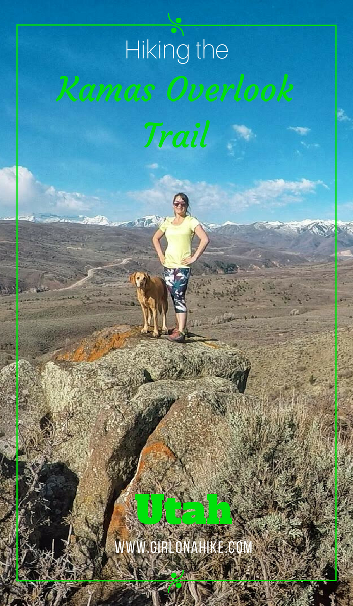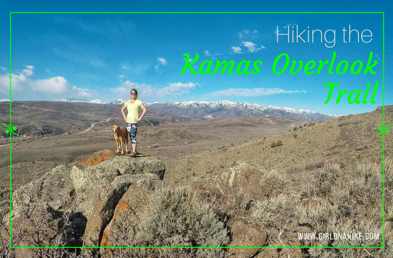
The Kamas Overlook Trail is, and as the name implies, is near Kamas, Utah and offers a great view of the valleys nearby.
About
It is a very mellow trail, only gaining 215 ft per mile! You will likely see few people here, but be advised this trail has zero shade. This trail is open to hikers, mountain bikers, horseback riders, and more and therefore the trail can get rutted out in early Spring.
The best seasons to hike this trail are late Spring when the trail dries, and Fall after the temperatures have cooled off. Winter is doable, but the trail may be muddy, as its on a south facing hill. Summer could be miserably hot, unless you start really early in the morning.
This trail is dog friendly, but be aware that you will be hiking through an open range and there may be more than just cows here. You are likely to see deer, coyote, moose, and the occasional horse. If you hike here with your dogs, be sure to have a leash handy in case you come across wildlife. Bring plenty of water for the dogs, as there is only one small stream which may be dry in the Summer. The trail also all sand, which can burn their paws on hot days. Again, be sure to start early in the morning to beat the heat.
Directions
From SLC, head East on I-80 past Park City, UT then head South on HWY 40 towards Heber, UT. Turn left at the light for UT-32 towards Kamas, UT. Drive 12.8 miles. Turn left at the signed Red Cliff Campground. You will immediately see a dirt parking lot on your right – park here.
Here is a driving map.
Trail Info
Distance: 7.6 miles RT
Elevation gain: 745 ft
Time: 2-4 hours
Dog friendly? Yes, off leash
Kid friendly? Yes, but probably for only part of it due to distance
Fees/Permits? None
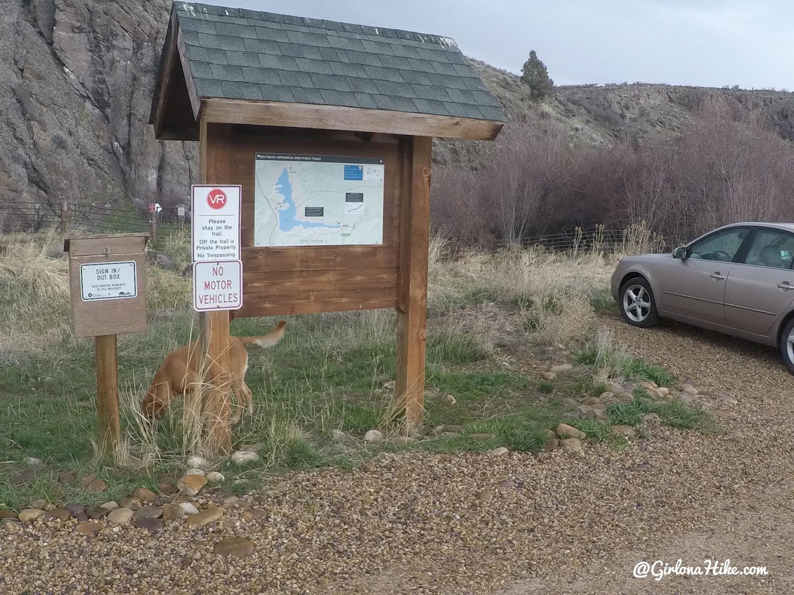
The dirt parking lot has this brown board. There is also a register box on the left. Because you will be hiking across and through private property owned by Victory Ranch (VR), you do need to sign in. The land owners are nice enough to let hikers and bikers use this trail, so please respect their signs and don’t leave the trail. If this area gets trashed out, they have the right to cut off public access from this trail. All you need to do is sign your name, license plate, and write down that you are hiking.
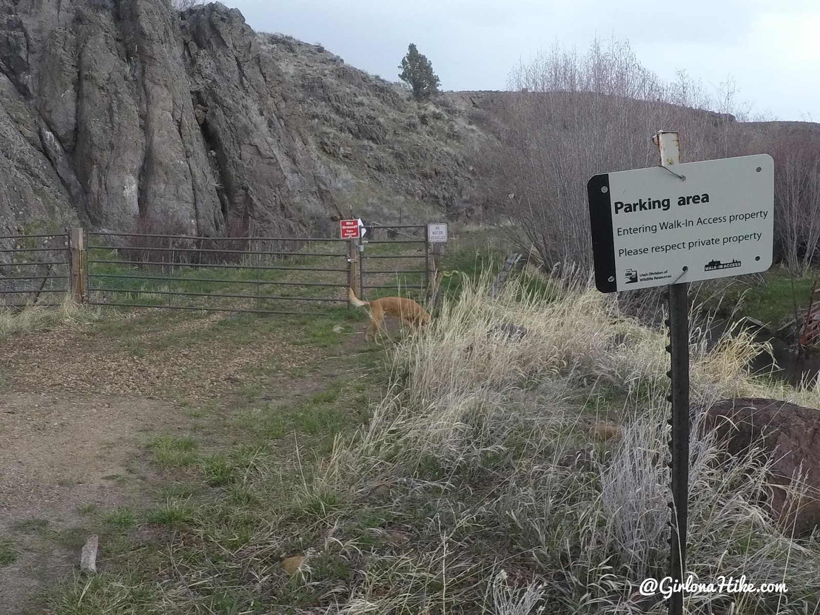
Pass through gate #1, right behind the brown register box.
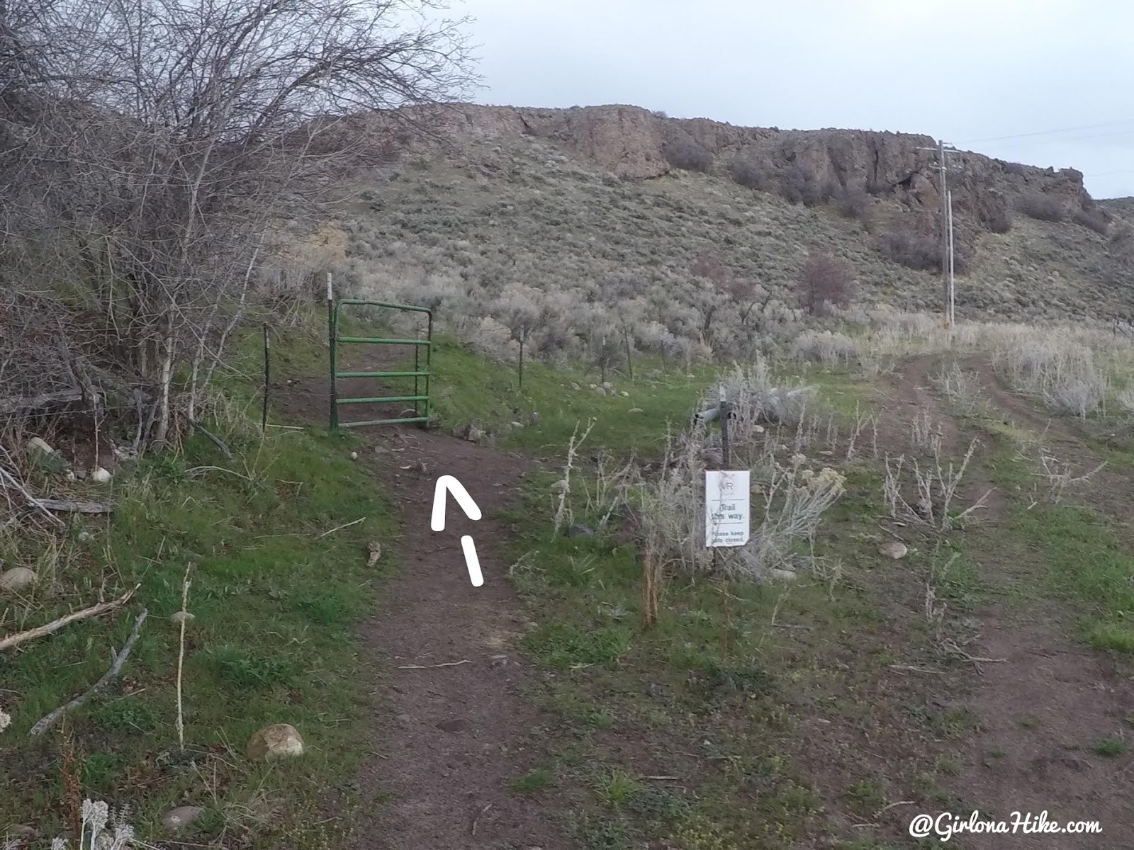
Within 2 minutes you’ll see another gate on your left. Turn here, and make sure to close the gate behind you so cattle don’t escape.
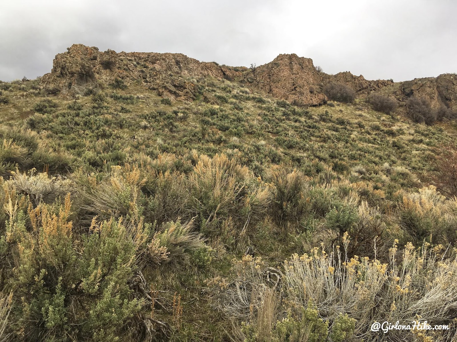
The trail makes one switchback below this rock wall.
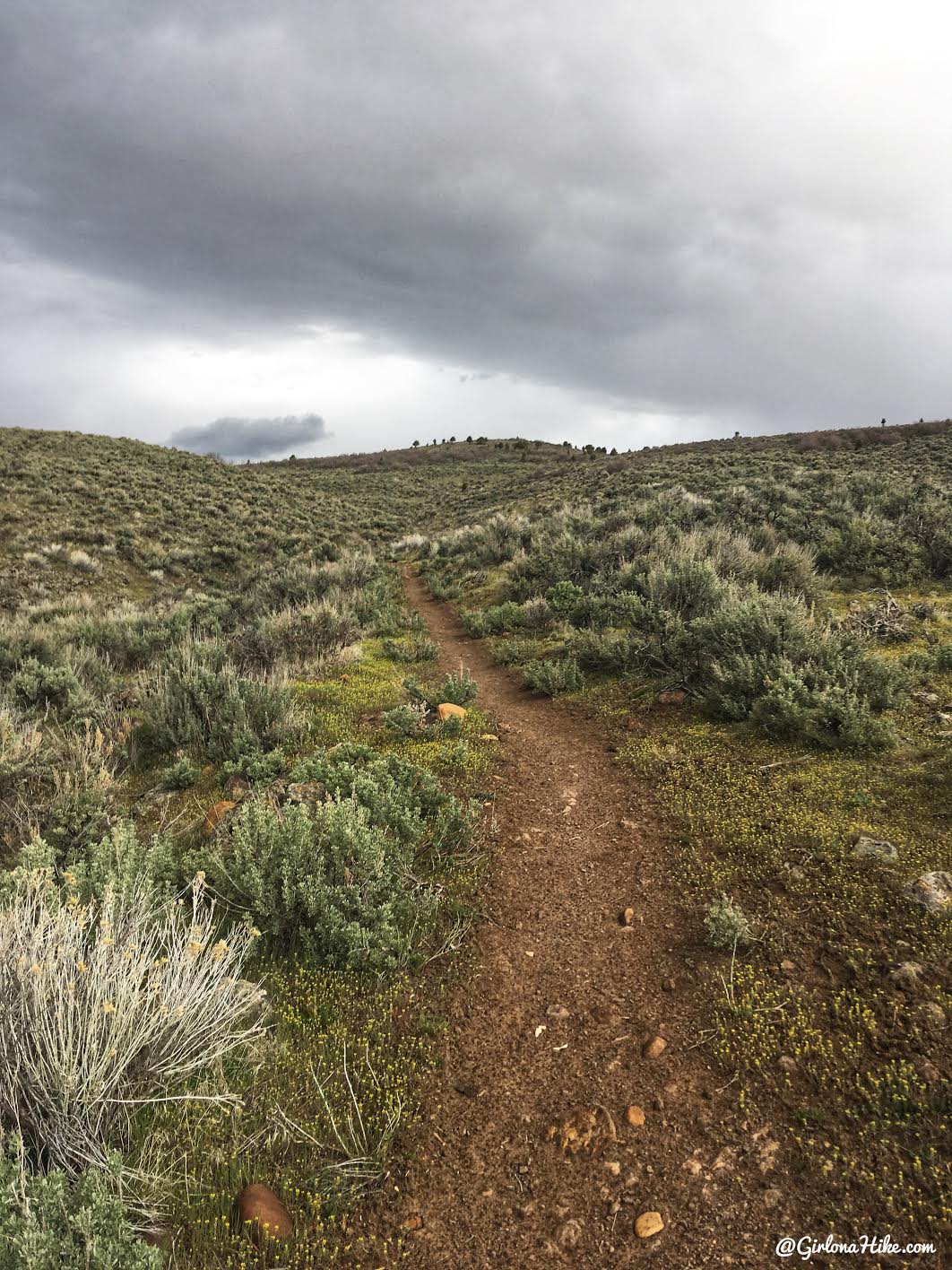
The trails super mellow and basically flat the whole way. I love how open the views are!
Wow, so pretty!
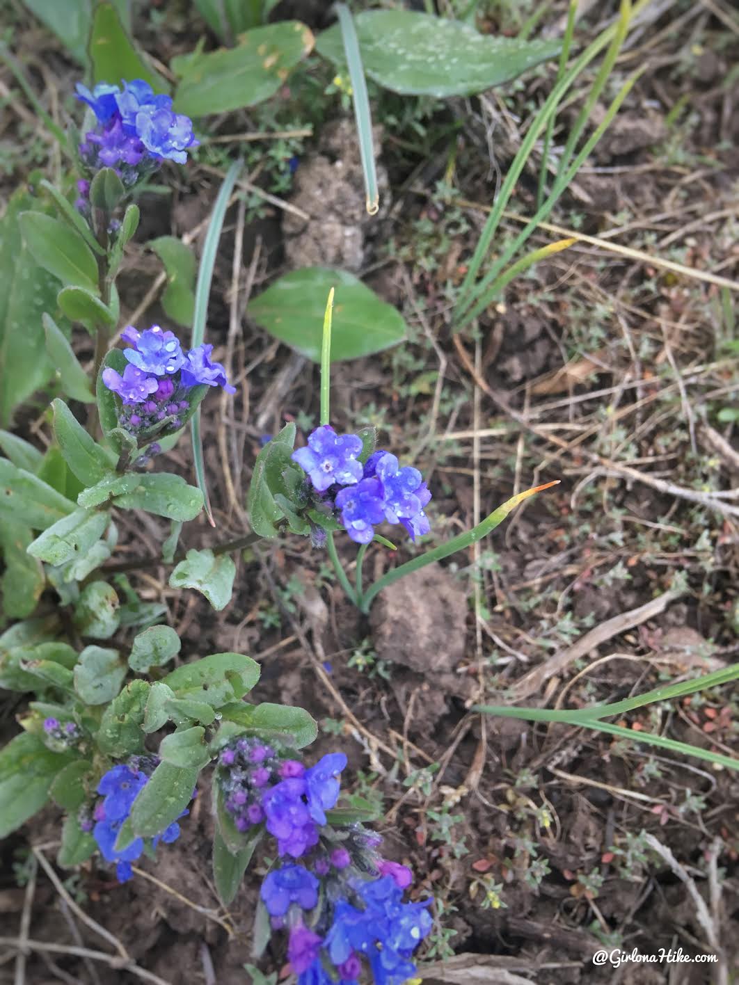
Spring rain finally made some flowers bloom!
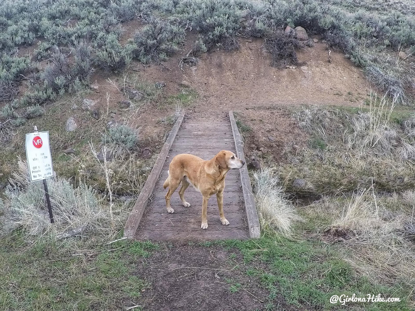
Cross the one and only bridge. Like I mentioned earlier, you’ll see several VR private property signs to stay on the trail. I must have seen close to 15 of them. This spot is also great to let the dogs take a quick drink from the stream. If you hike here mid-summer this may be bone dry.
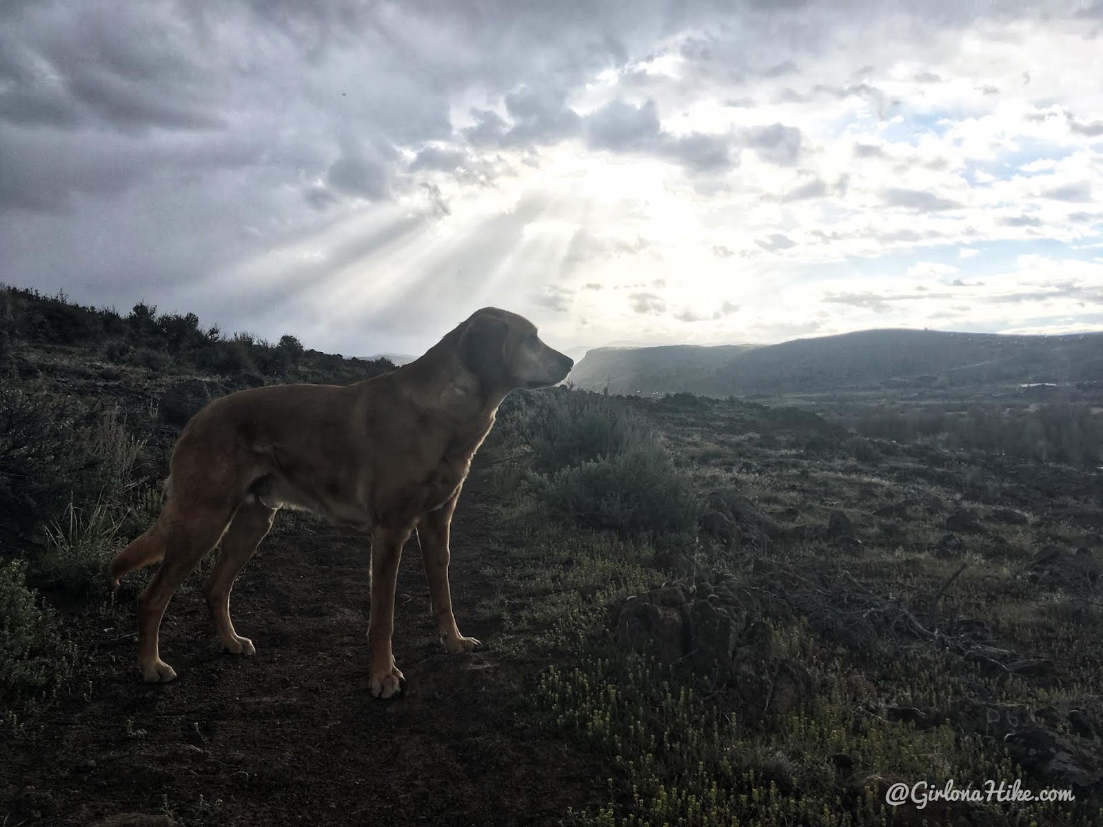
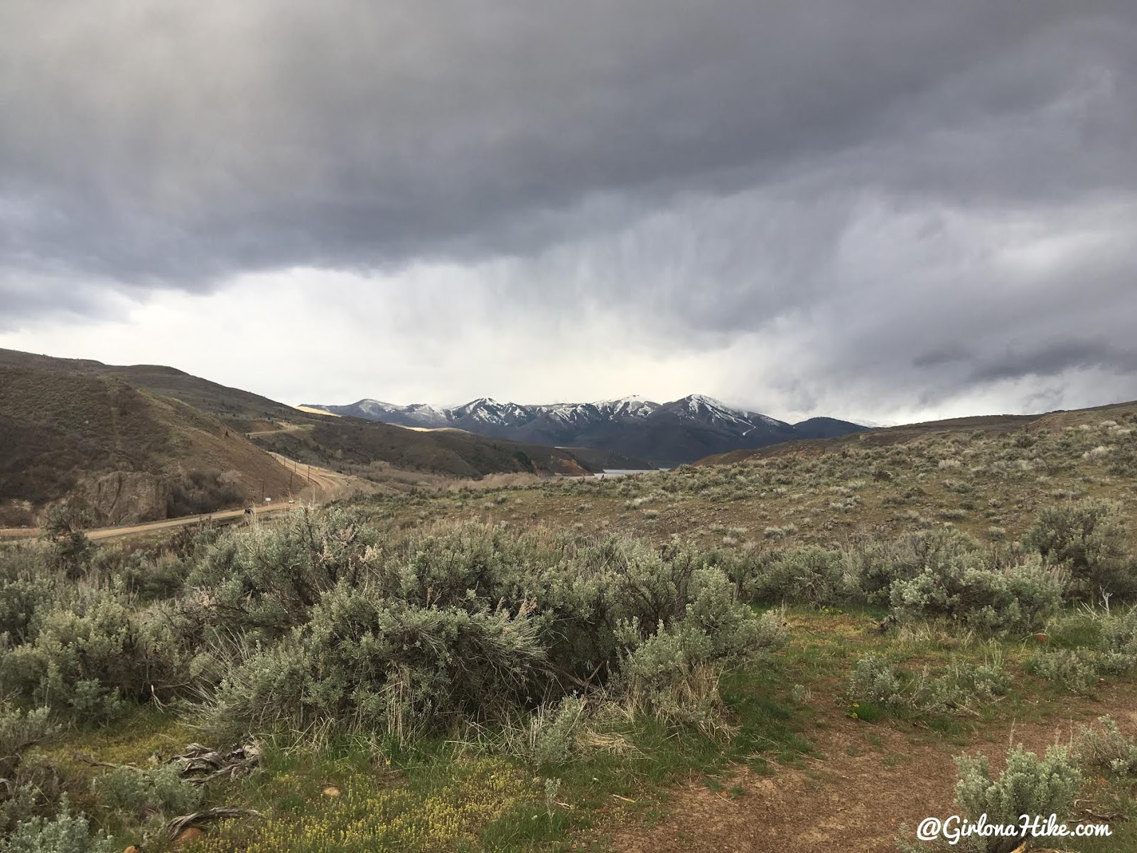
The clouds start to break up a little, and Charlie takes in the views.
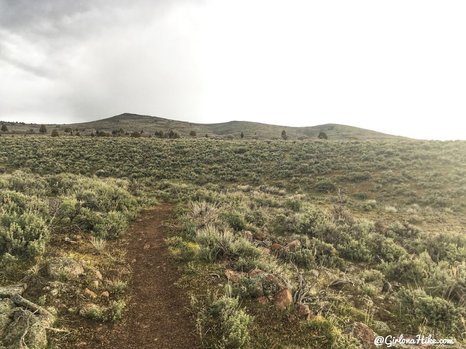
You’ll be hiking towards these three humps – interestingly enough, the trail only leads you to the middle hump, not the highest of the bunch.
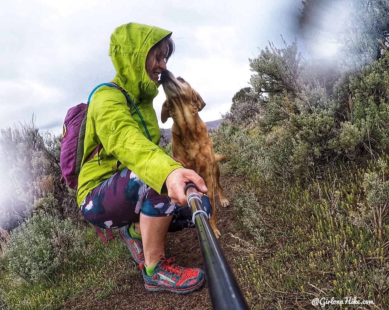
A little more rain, and trail kisses, of course!
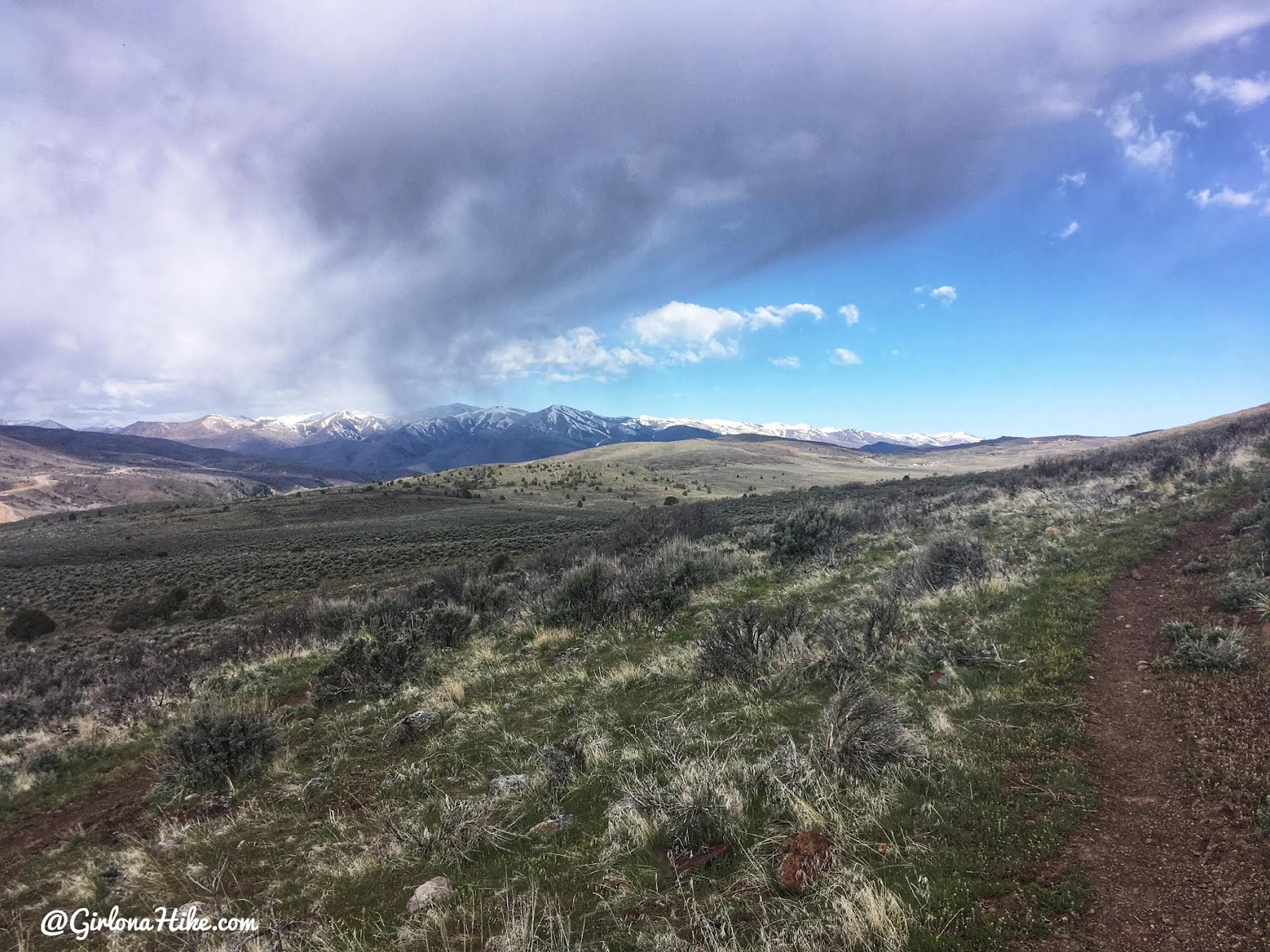
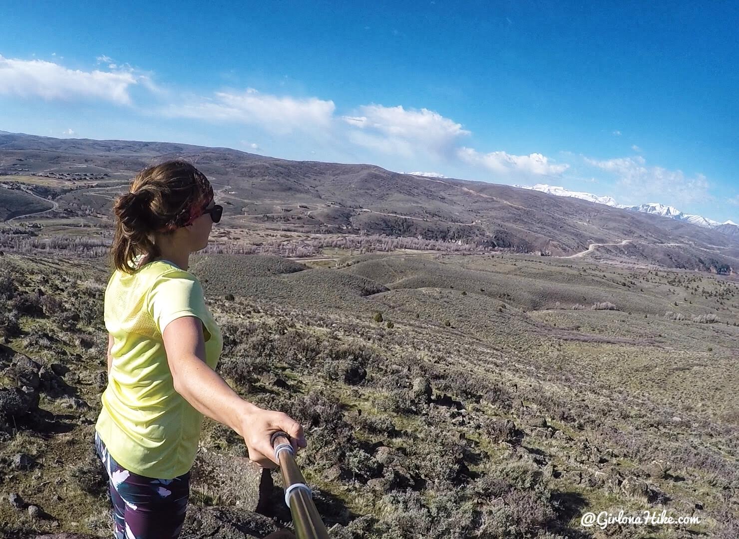
Blue skies! The trail slowly gains elevation the entire time.
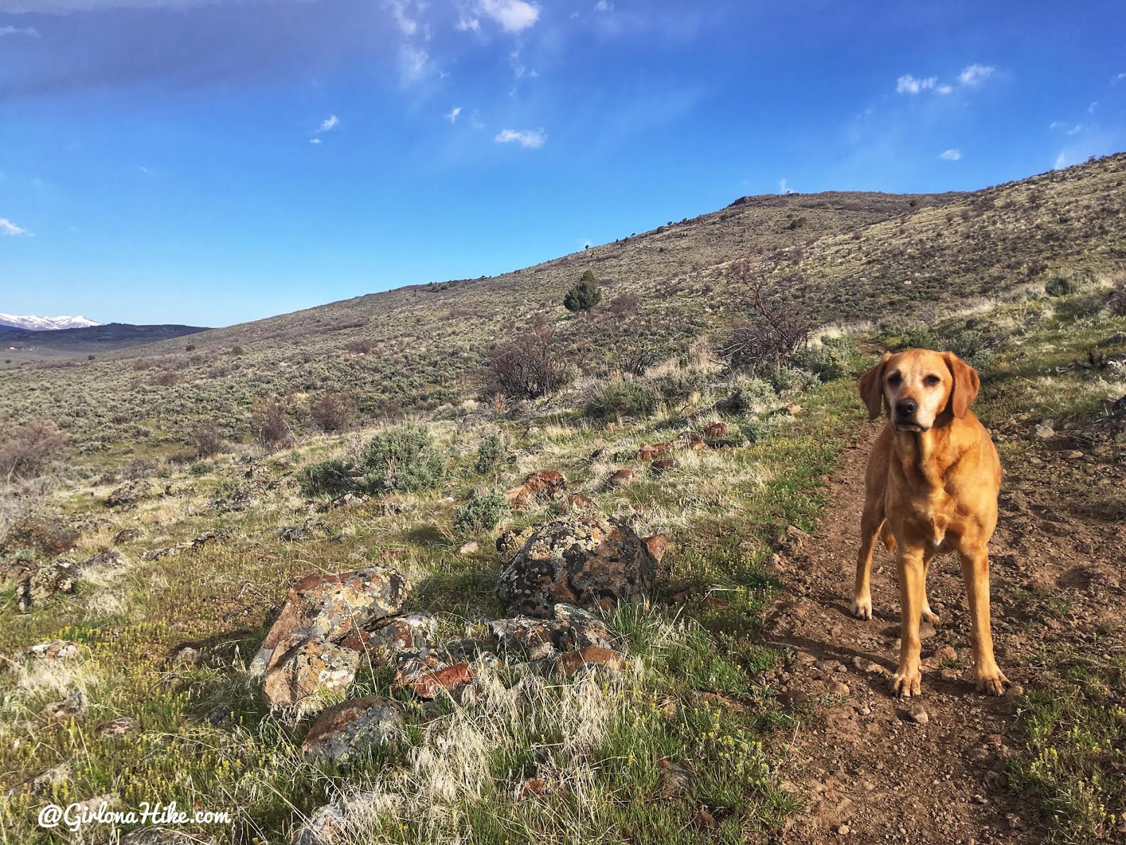
Charlie is ready for some sun.
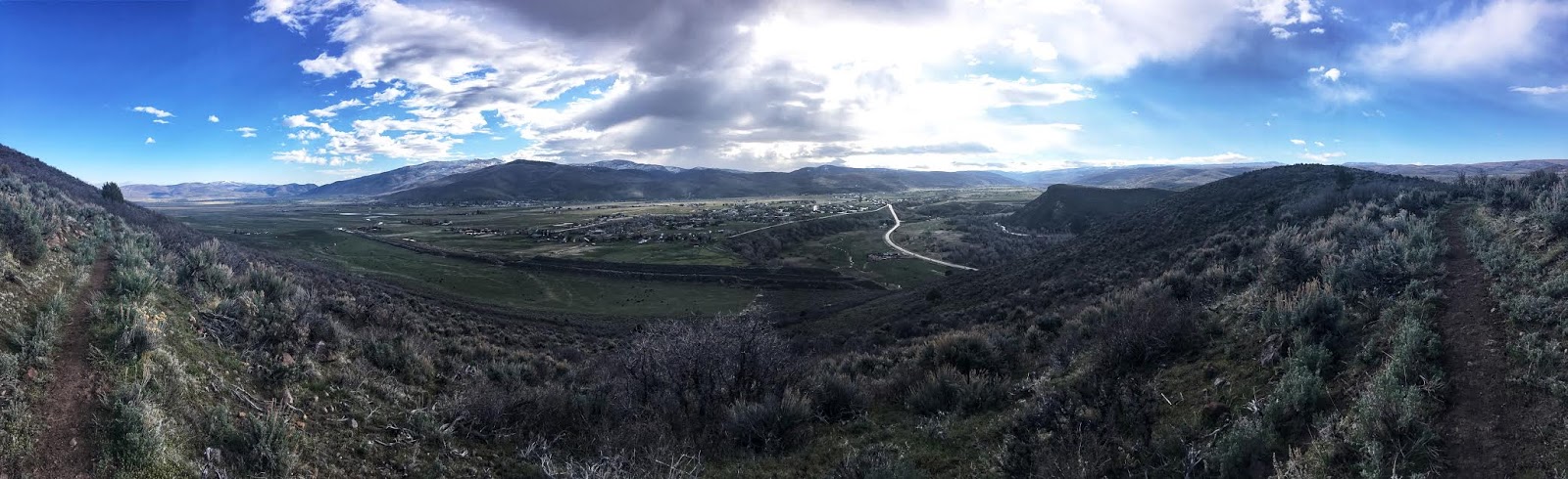
Eventually you’ll reach the “saddle”, though its really just your first look at the valley below. They don’t call it the Kamas Overlook for nothing! The trail will hug the East side of the hill for just a little bit, then will work up towards the middle hill.
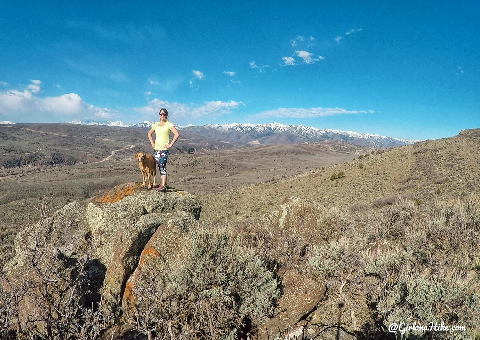
We made it to the Kamas Overlook (sometimes known as rocky top) in just 1 hour 15 minutes. I was hiking at a faster pace since the trail was so mellow. On the way down, we actually jogged and made it down in about 45-50 minutes.
Great views all around!
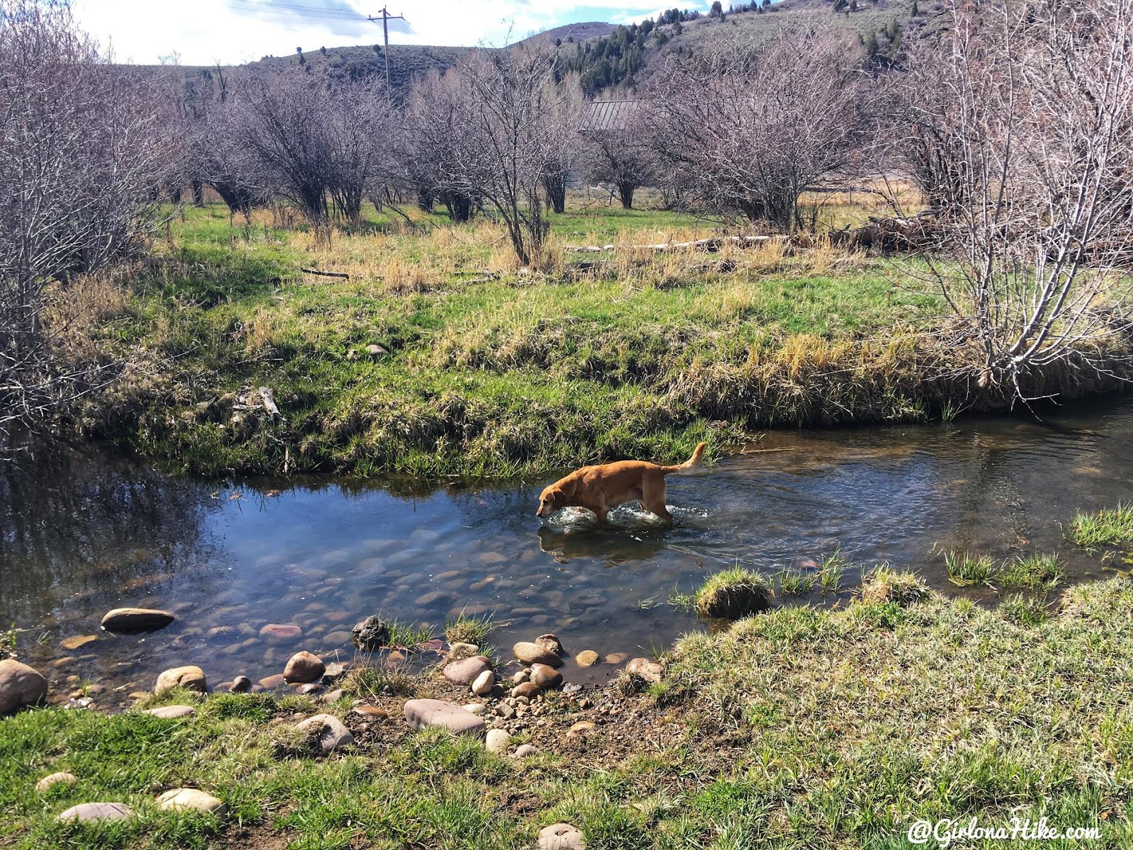
By the time we jogged down, Charlie immediately ran towards the creek to cool off and drink.
Trail Map
My track via Gaia GPS – the best tracking app! Get your app here for a discount.
Nearby Hike

Save me on Pinterest!