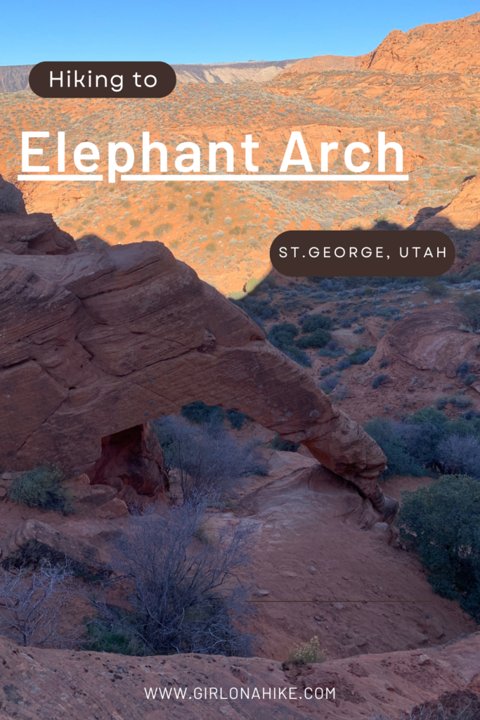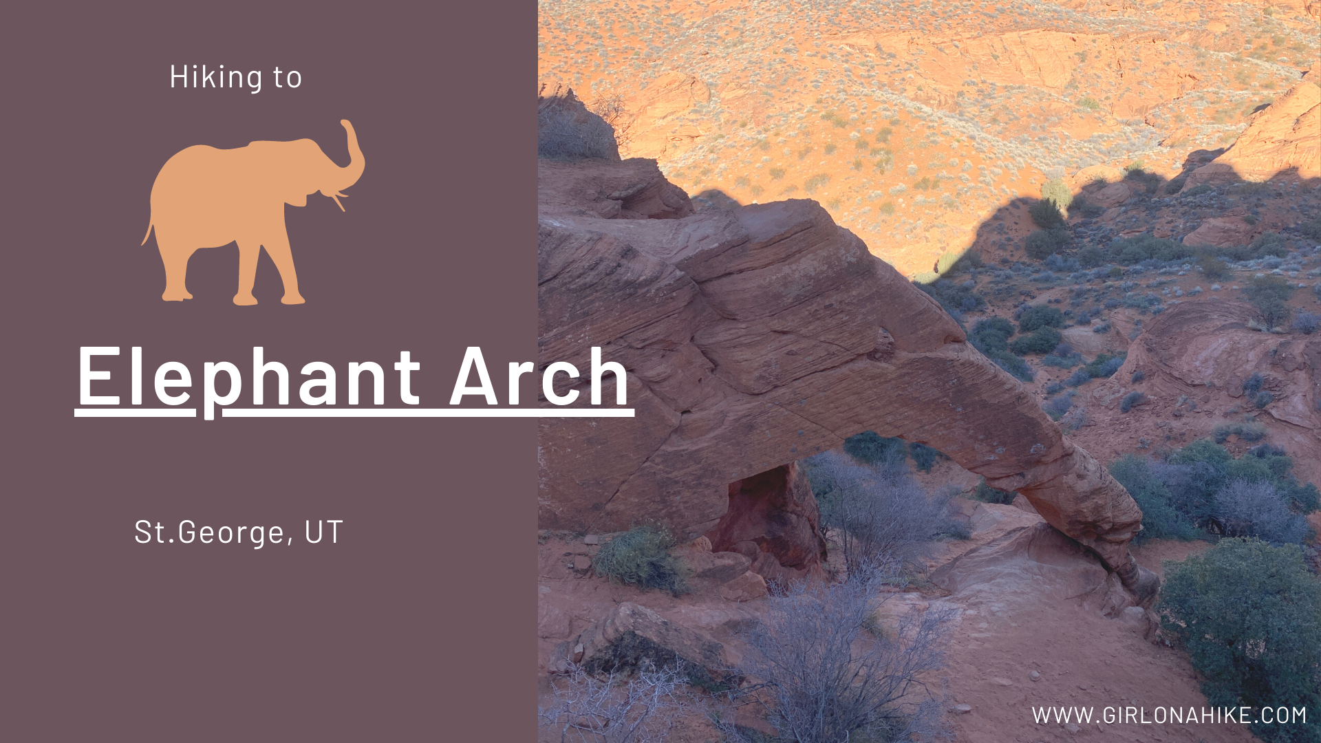

Elephant Arch is located in the Red Cliffs National Conservation Area right outside St.George, Utah.
About
This easy hike is great for all ages, as it is only 2 miles one way and fairly flat. There are two hills and some sandy sections, but leads to an arch about 7 feet high (standing under it) that is shaped like an elephants trunk. The best view is from on top of the small ridge, looking down so you can really see the shape of the trunk. There is a very small scramble to get to the top, but even kids can do it with help.
The best time to hike this is in the off season months (November – March) when day time temperatures do no exceed 70F. Otherwise the sand is extremely hot and can burn dog paws, plus you will need to carry more water.
I hiked this at 9am on a Sunday and while Elephant Arch was all in the shade, I think the photos still turned out great. I only saw 3 other people too!
Directions
From St.George, head north on I-15 and take exit 13. Turn right, and drive 1 mile. On the right side of the road you will see the dirt road. If you have a small car you will need to park here and add on an additional 1 mile of hiking each way. However, as long as you have an SUV or larger, continue up this road. At the large water tank, turn left, and at the next 4-way intersection turn right. Drive to the end of this road where you will see the Mill Creek trailhead. The road is sandy, but its not deep sand. 4WD isn’t necessary.
Here is a driving map.
Trail Info
Distance: 2 miles RT
Elevation gain: 159 ft
Time: 2-3 hours
Dog friendly? Yes, off leash
Kid friendly? Yes, all ages
Fees/Permits? None
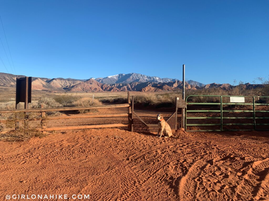
The Mill Creek Trailhead with a great view of Signal Peak to the north!
At 0.3 miles turn right for Bone Wash.
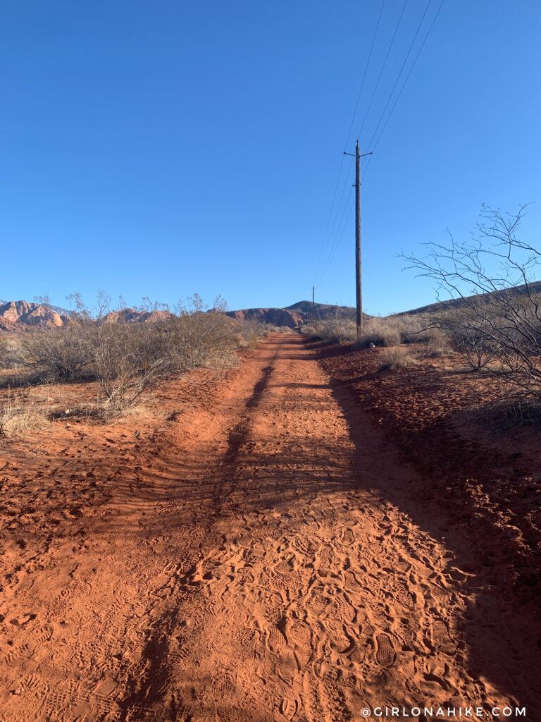
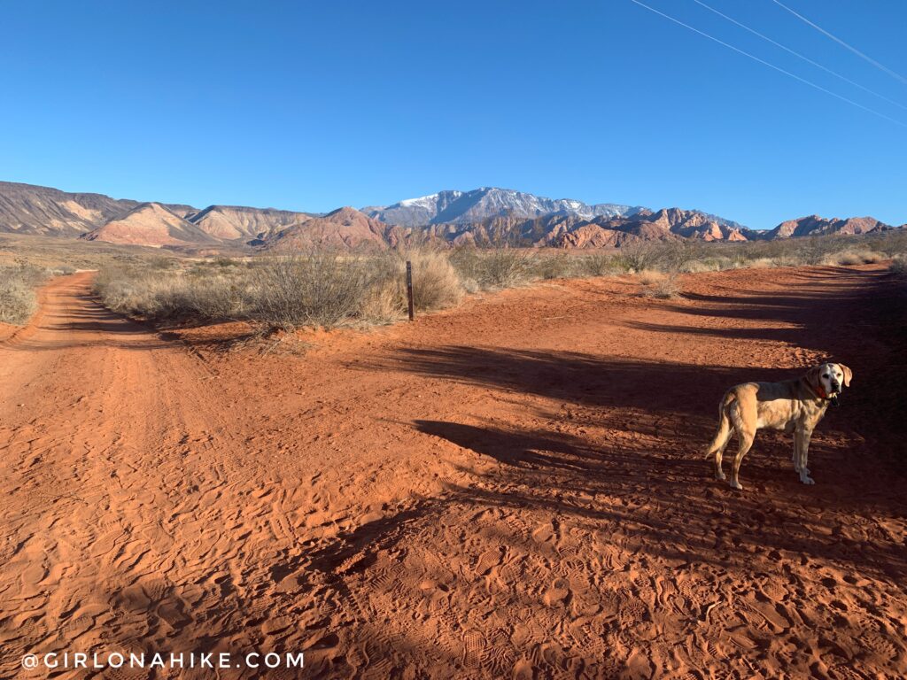
You should now be following the electric poles. You can see that the trail is sandy, but not deep sand.
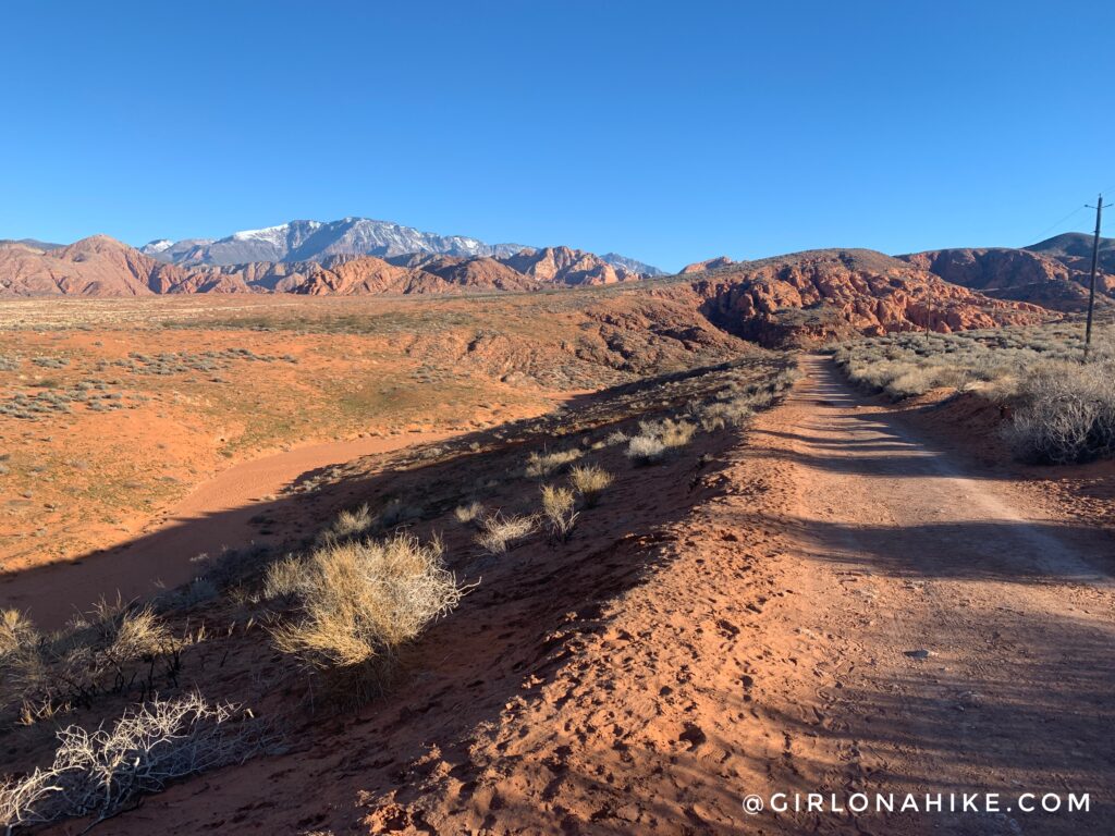
Wow such great views! You will eventually pass the electric fenced area at the bottom of the hill, continue straight.
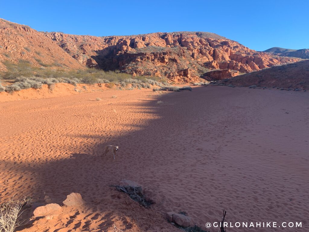
Drop down into Bone Wash, and continue straight again. Now the sand gets deeper.
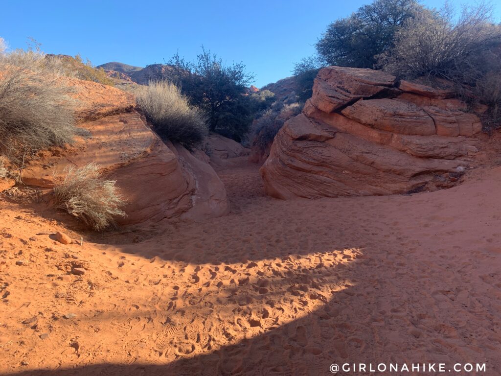
At 1.3 miles Bone Wash significantly narrows, but only briefly, at these two rocks.
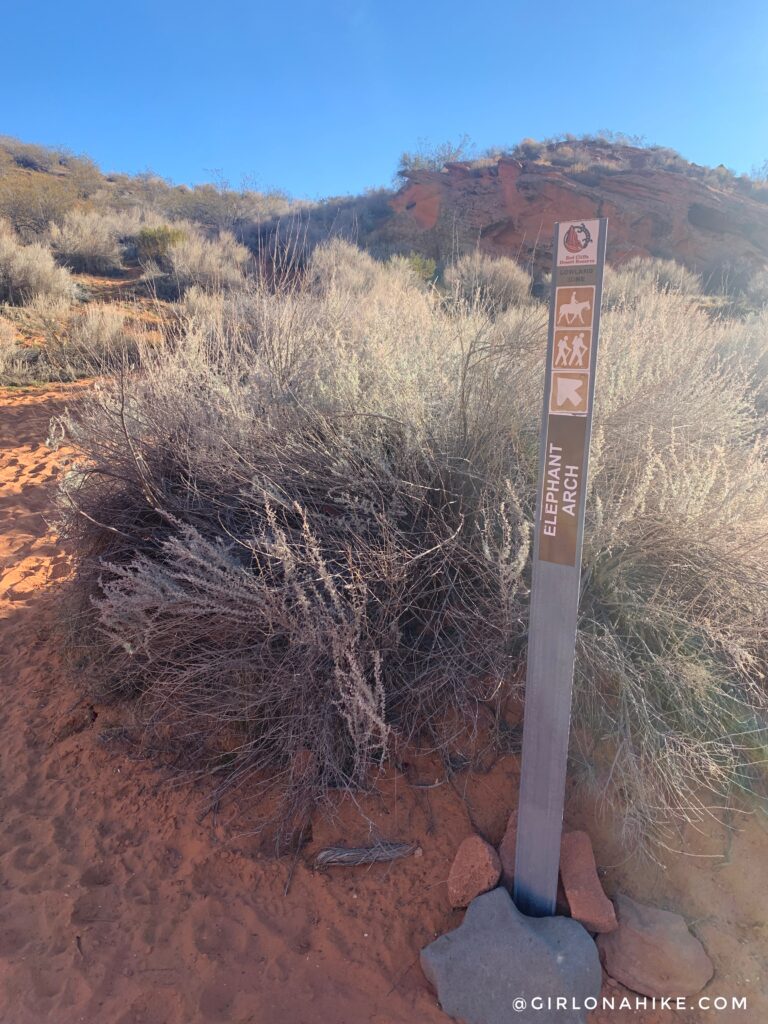
The next sign you see will finally say Elephant Arch. Now you’re close! Hike up a short, but steep hill.
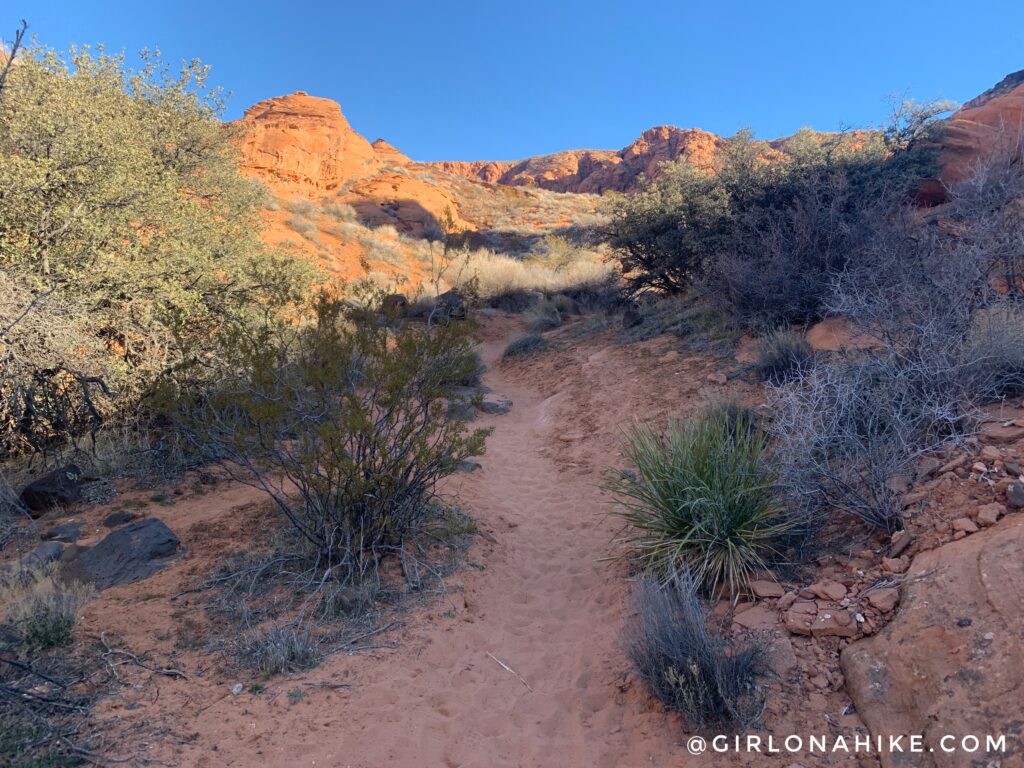
Then drop back down into a small unnamed wash.
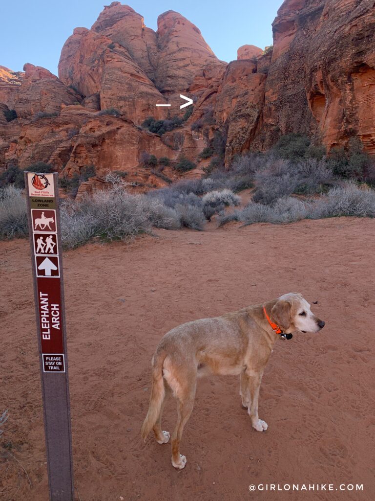
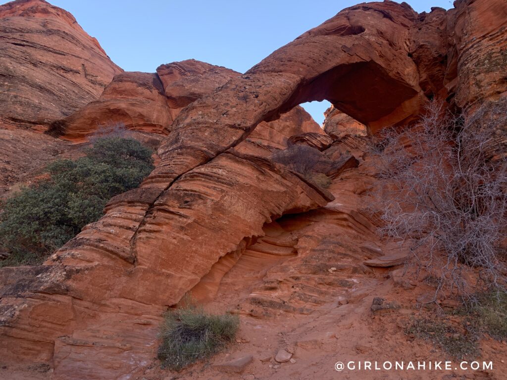
Keep an eye out for signs, and at 1.7 miles you can now see Elephant Arch!
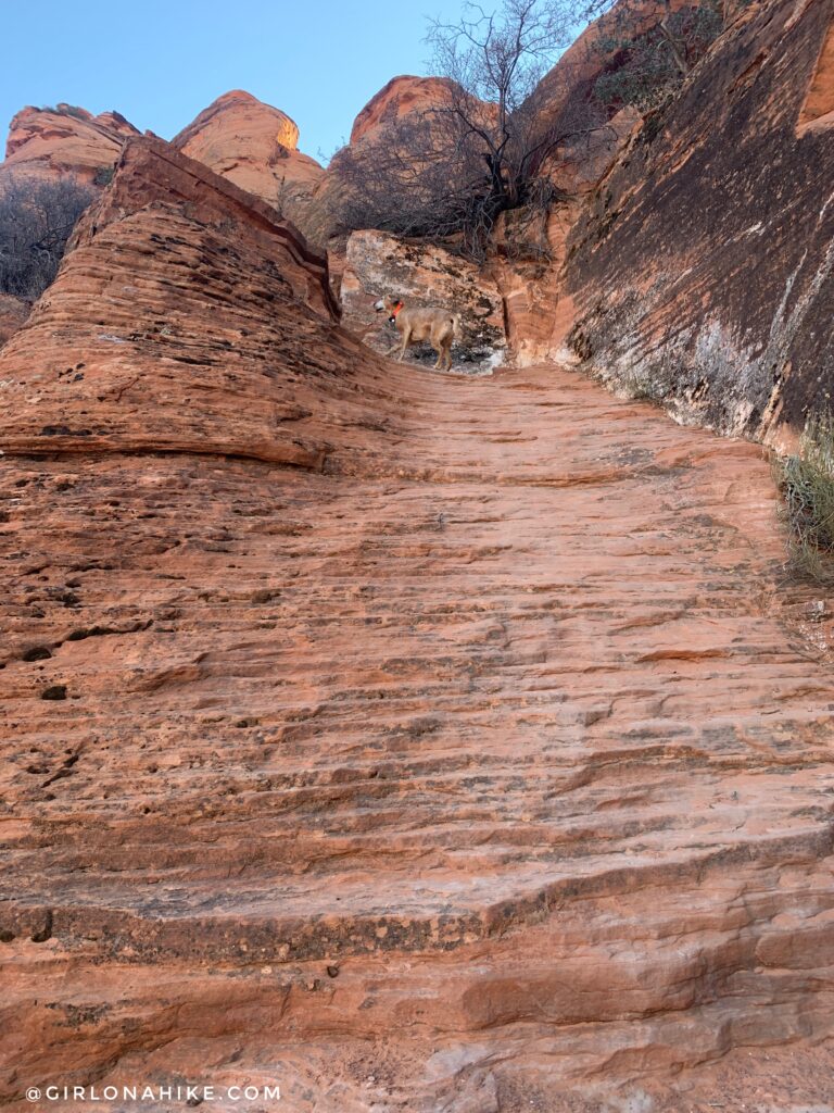
This is the small scramble you will need to climb up. Charlie was able to get up himself but most dogs and kids will need a boost here.
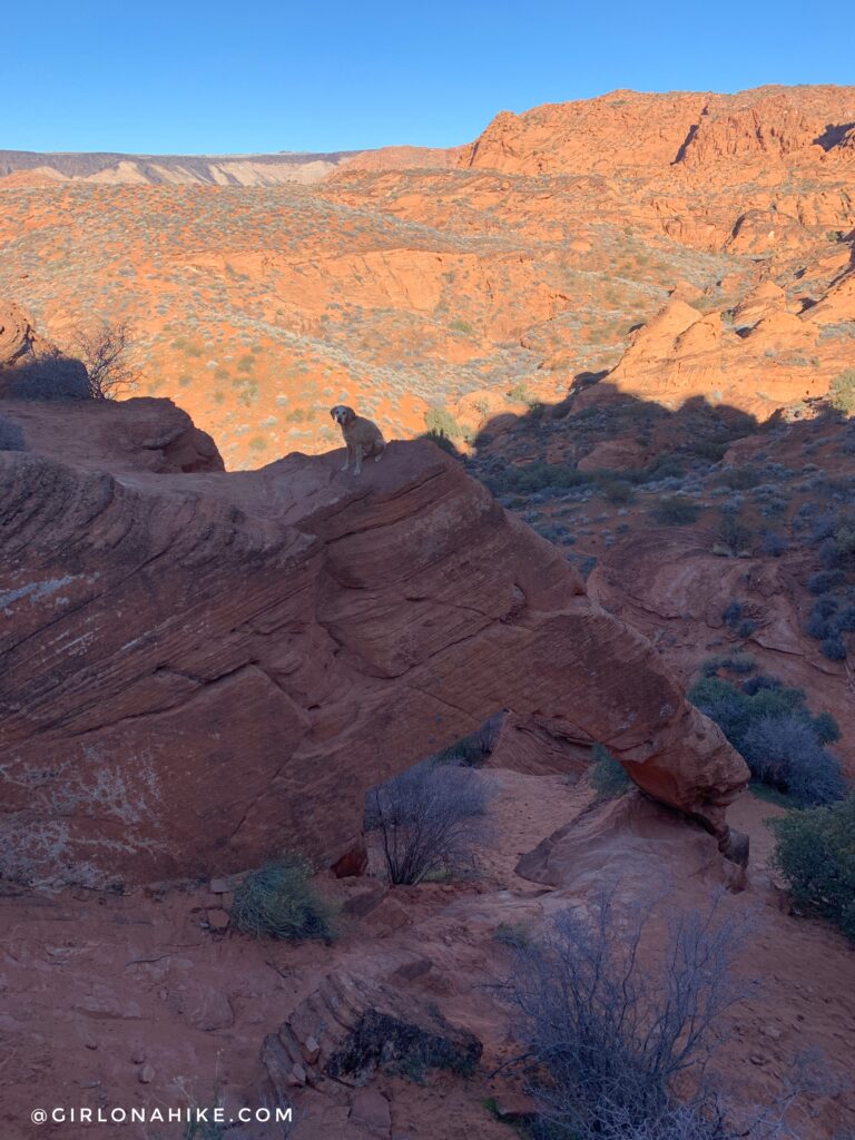
Now just hike up to the small ridge above the arch to get the best view! What a cool spot!
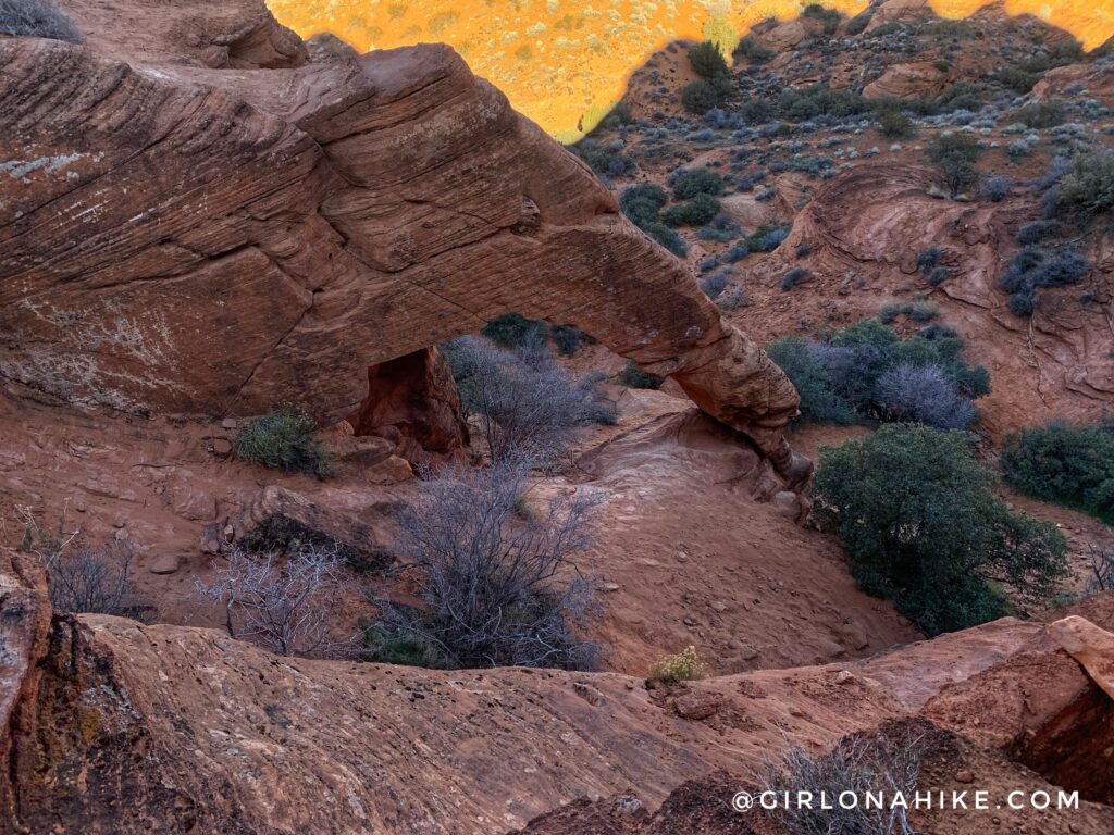
I was surprised how much it actually did look like an elephants face and trunk.
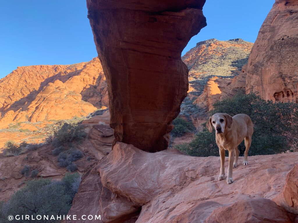
Standing underneath the arch.
In the Area – Dinosaur Tracks
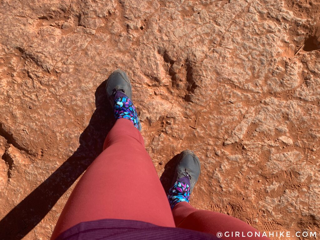
The Dino Cliffs Trailhead is right by the Mill Creek trailhead and worth a quick stop. It literally only took me 5 minutes of walking to find it, however you do drop down a super sandy and steep hill. Walking back up that was the hardest part. I always wear trail gaiters in the desert to keep sand out of my shoes, and I get mine from Dirty Girl Gaiters. Here is the map pin for the Dino Track.
Check out my video!
Trail Map
My track via Gaia GPS – the best tracking app! Get your app here for a discount.
Nearby Hikes

Save me on Pinterest!