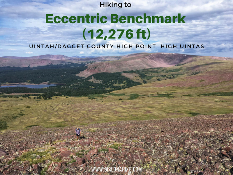

About
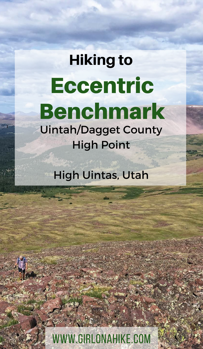
Although there is no official trail leading to the summit, hiking here is actually quite easy. You’ll first pass by three man-made lakes (Chepeta, Papoose, & Moccasin), then work up a short, but steep boulder field, before hiking across high-alpine terrain and reaching the peak.
If you are short on time and only want to bag Eccentric Benchmark, do that. However, if you have a full day to explore I highly recommend turning this into one big loop. Start by summiting the peak, then walk West along the ridge over to Walk Up Lake, then back down to the car (routes at the end of this post). This will make your trek roughly 10 miles RT, and will provide several excellent views of the drainages to the North, including Sprit, Tamarack, & Dagget Lakes.
Directions
From SLC, head East on I-80, then south on HWY 40 until you reach Roosevelt, UT. Turn left on HWY 191, then right on HWY 121 heading towards Neola, UT. Veer right on Uintah Canyon Road, and cross the bridge. As soon as you cross the bridge, you’ll see the dirt road split right and cross a cattle guard. Reset your odometer to 0. Drive 22 miles along the now, well-graded dirt road following the Elkhorn Canyon Road (Road 117). This road eventually turns into Road 110. Drive to the very end of the road, where the trail begins. The Chepeta Lake TH is where the Highline Trail begins, however you will want to start hiking from the Chepeta Dam. If you type “Chepeta Dam” into your phone map app, this route should pop up. Otherwise, use my map below. The 22 mile dirt road is mostly well-graded except for a few pot holes. Small cars should be able to make it, slowly, but a better option would be a SUV or larger. Even though its only 22 miles, it will take about 45 minutes to reach Chepeta Lake. This road access is only open July – October, or when the road is dry and clear of snow/mud.
Here’s a driving map.
Trail Info
Distance:
To summit is 3 miles one way
To do the whole loop is 10 miles RT
Elevation gain: 1,667 ft
Time: 2 hours to summit, 5-7 hours for full loop
Dog friendly? Yes, off leash. Dogs should be used to hiking over lots of rocks and boulders.
Kid friendly? Yes, depends on peak-bagging experience
Fees/Permits? None
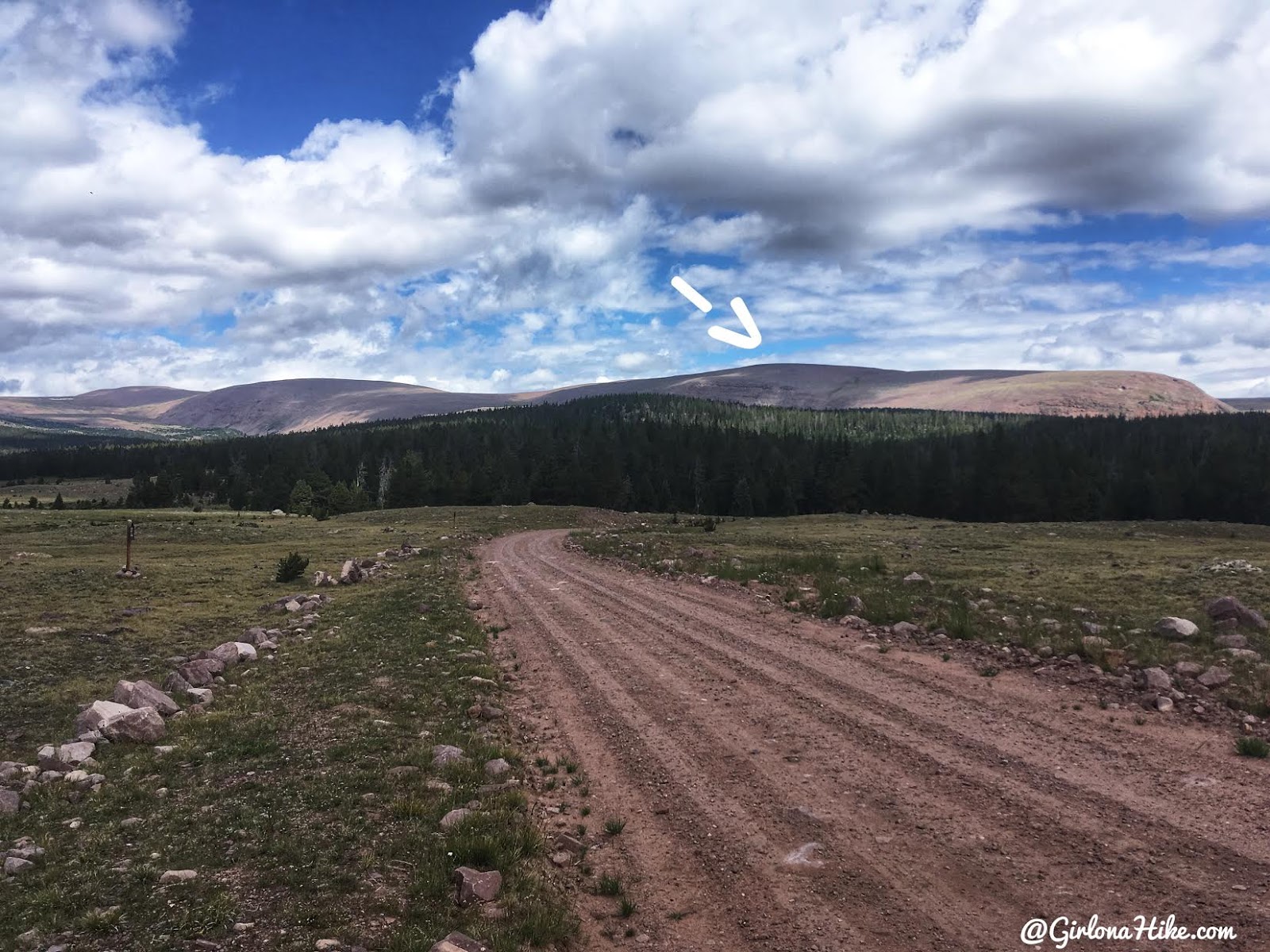
The drive up to the Chepeta Dam – the white arrow points out the Eccentric Benchmark summit.
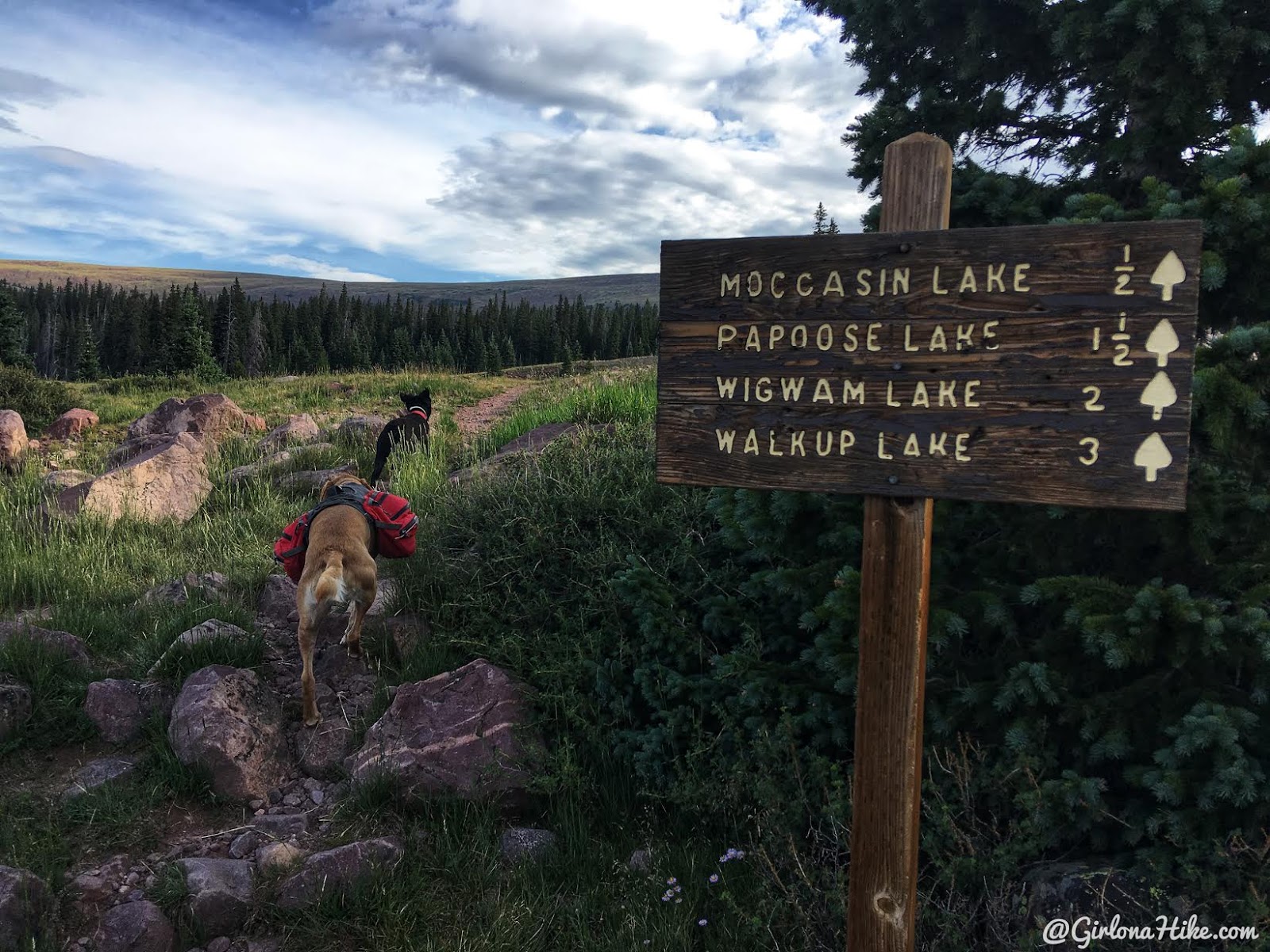
The trail for this route starts at the dam. There’s enough parking for 6-7 cars and has a restroom (bring your own TP!).
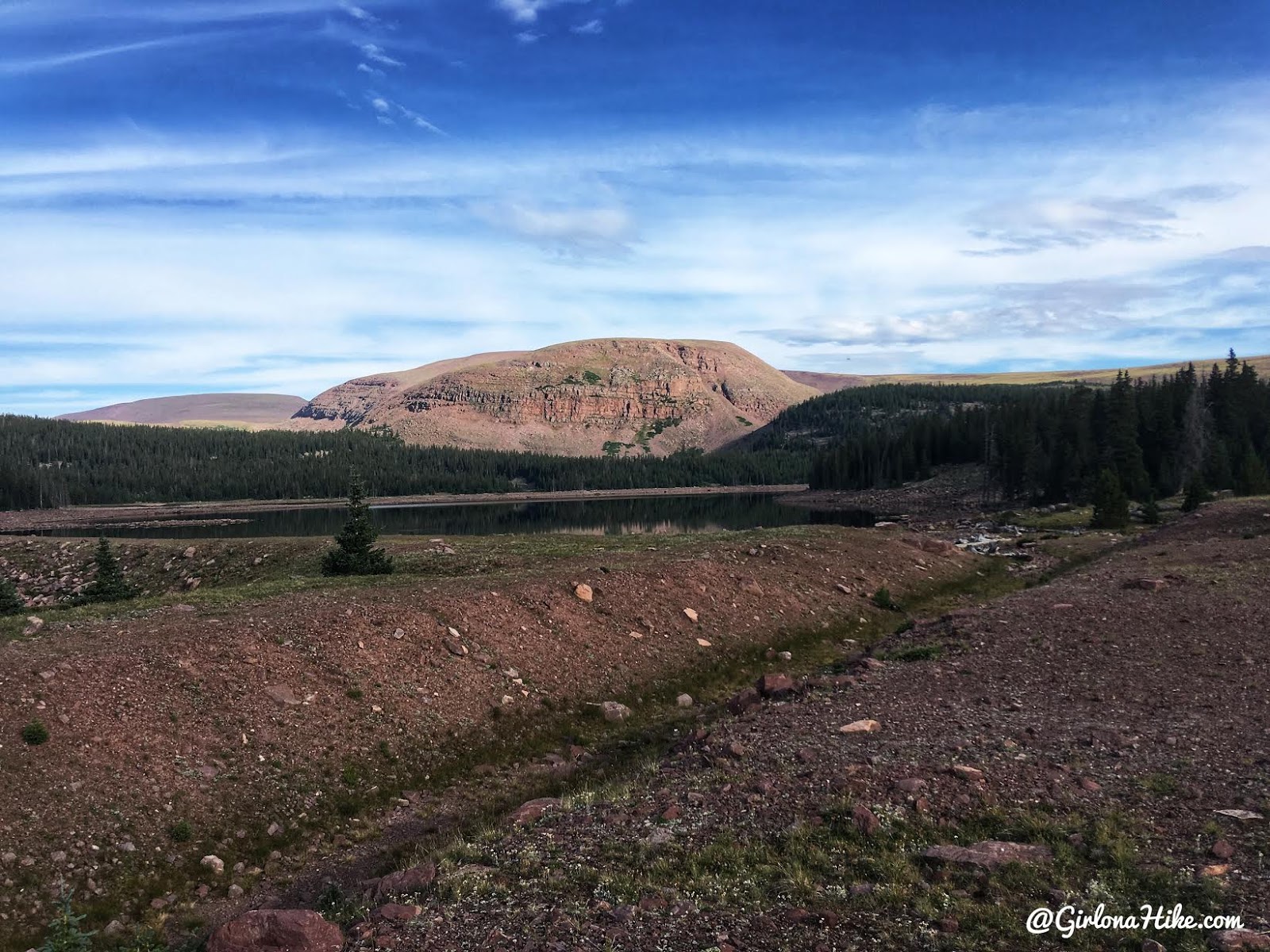
Passing by Chepeta Lake – I couldn’t believe how low the water level was!
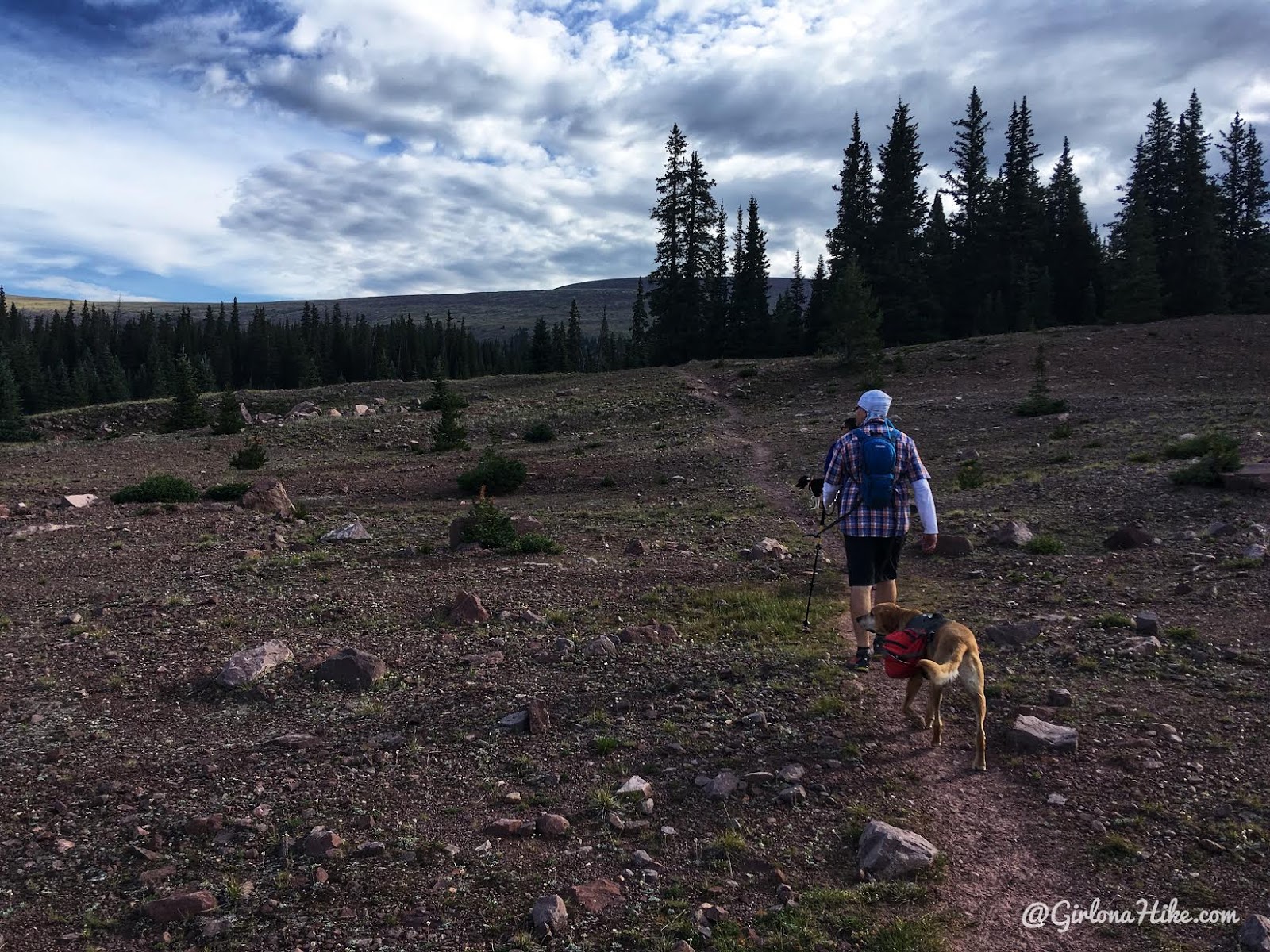
The trail for the first 0.8 miles is very flat and easy walking.
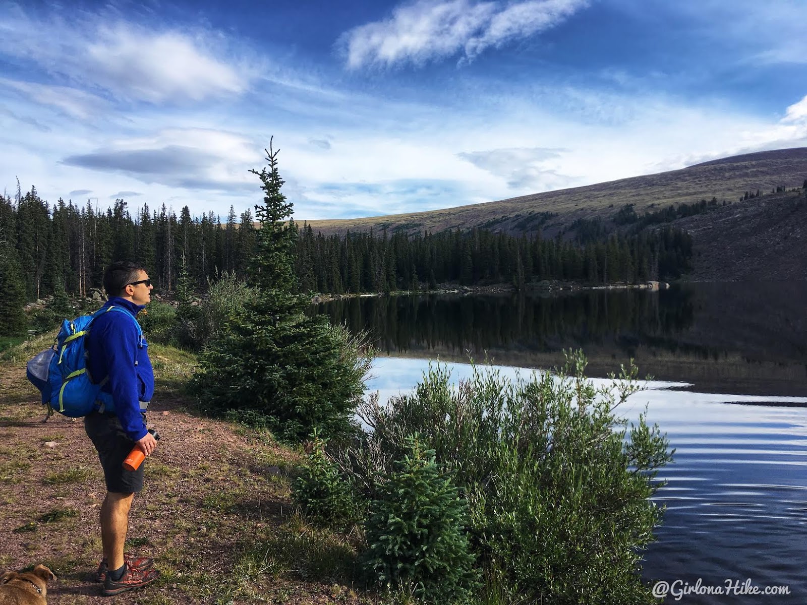
Reach Moccasin Lake at 1/2 mile.
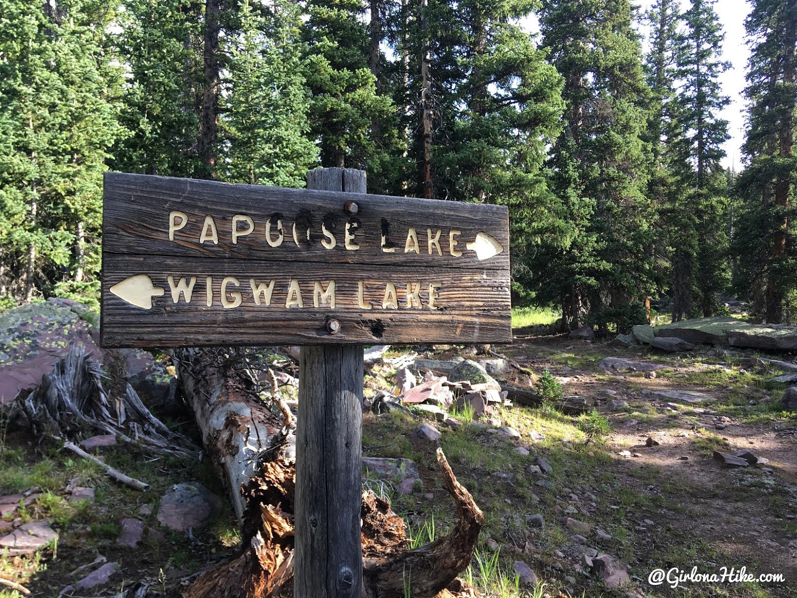
Past Moccasin Lake veer right at the trail split for Papoose Lake. If you end up doing the loop I describe, you will come back to this same spot later, coming in from the Wigwam Lake area.
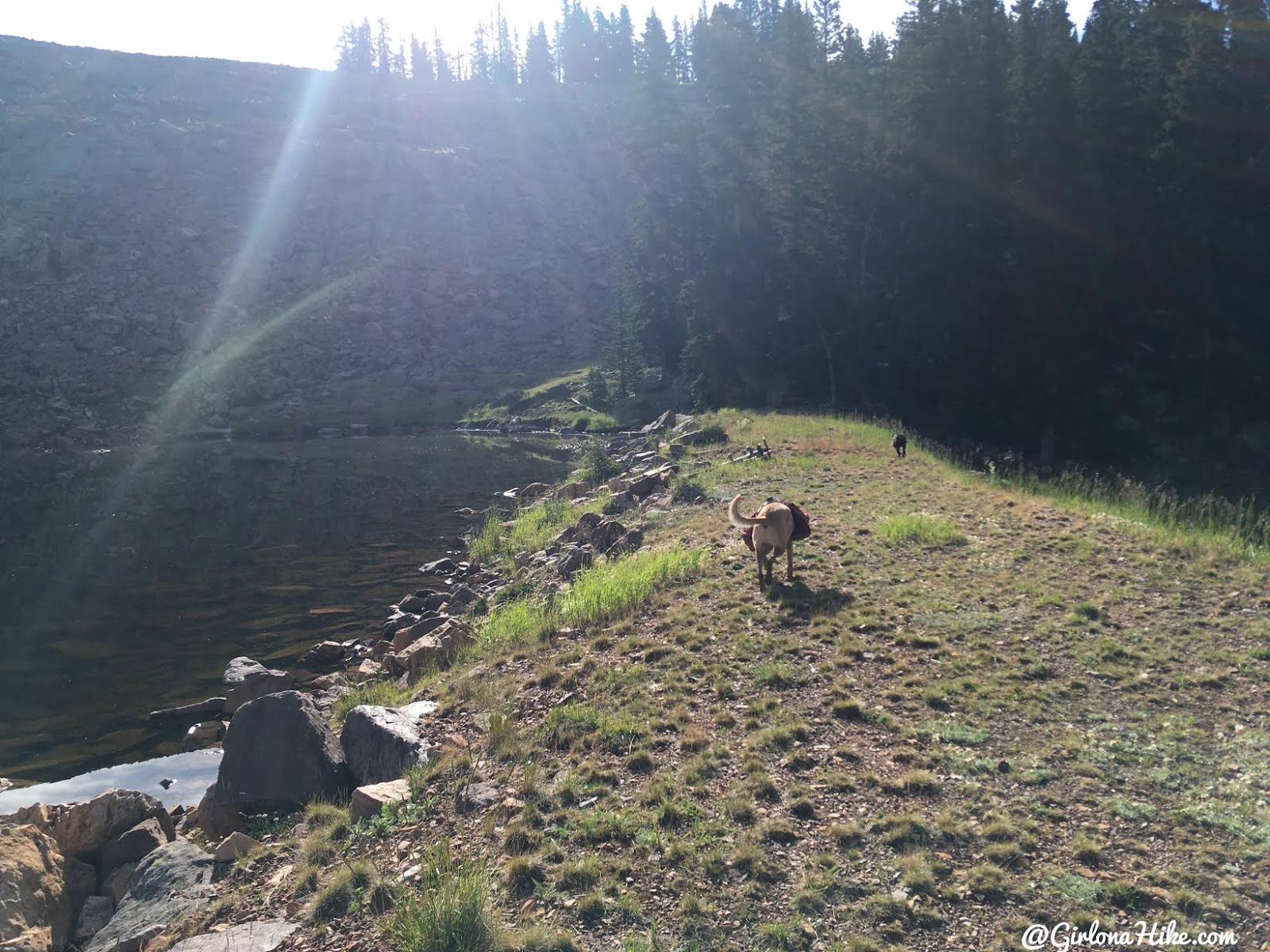
At 0.8 miles at Papoose Lake, cross the dam on the East side (to your right). The TH sign says this lake is 1.5 miles, but maybe they were thinking RT?
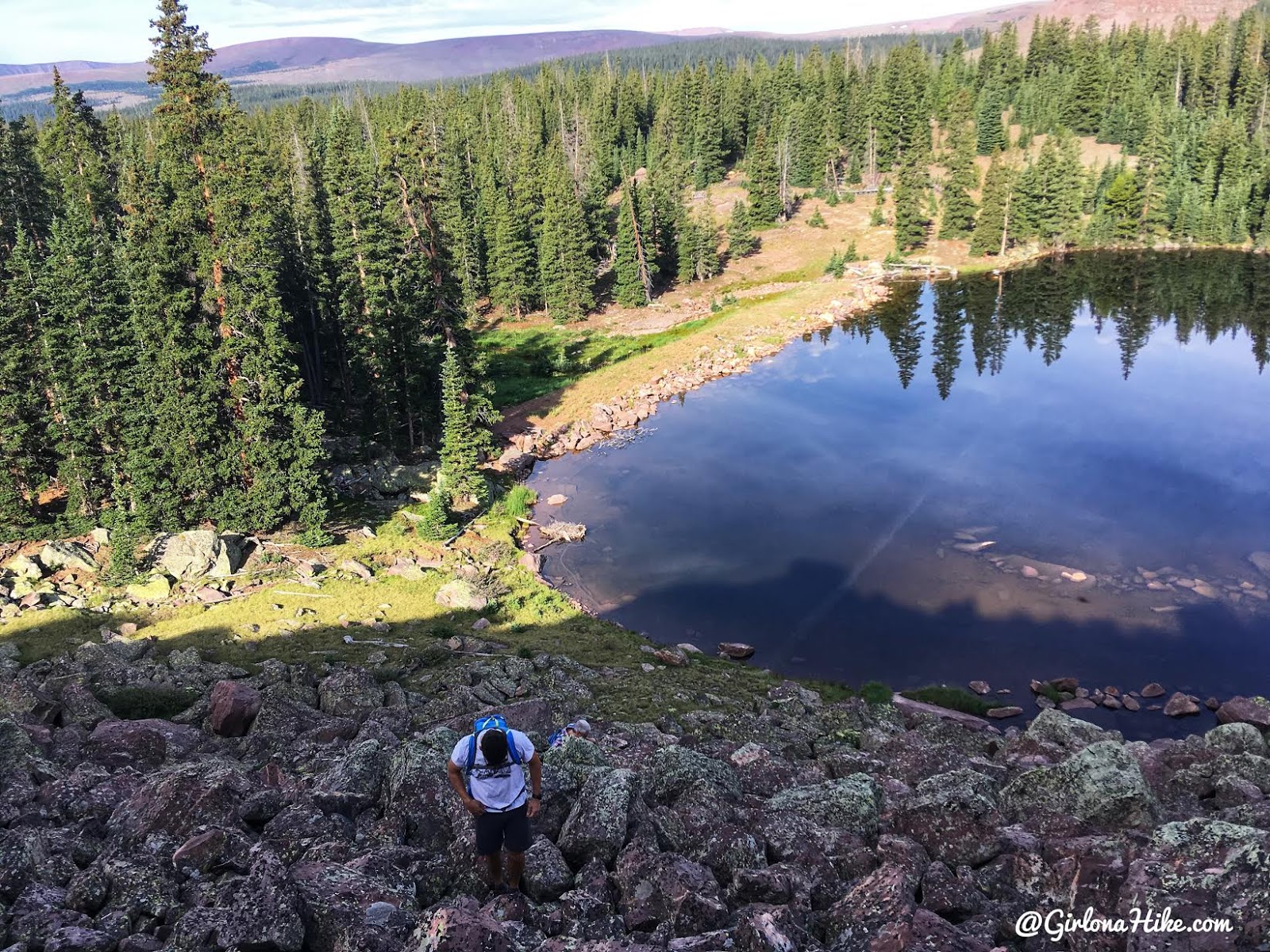
The steepest part is walking up the boulder field right after you cross the dam. It only lasts for 100-200 feet though.
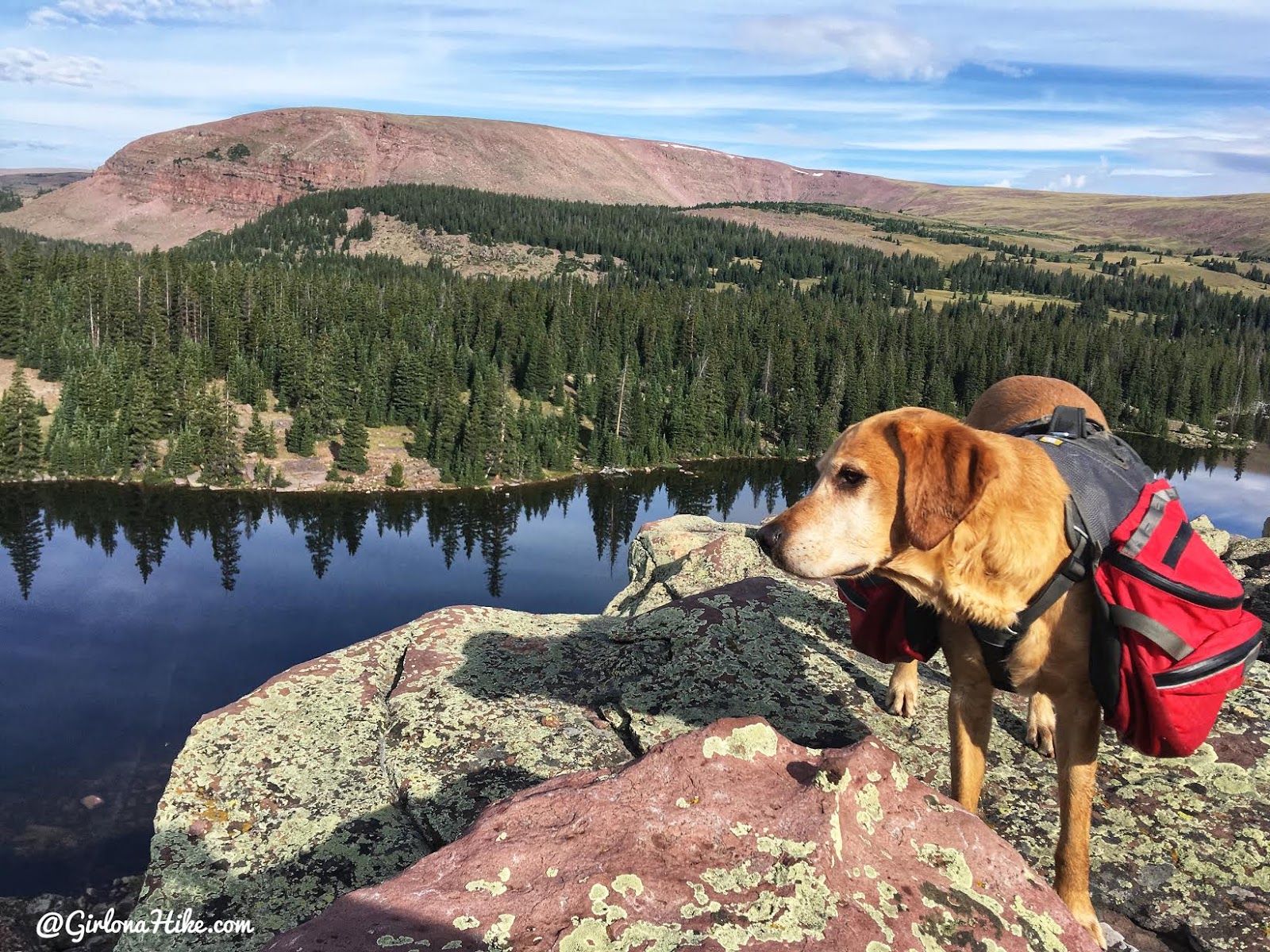
It’s nice to stop and take a break anyway, because the views are pretty nice once you get a little higher.
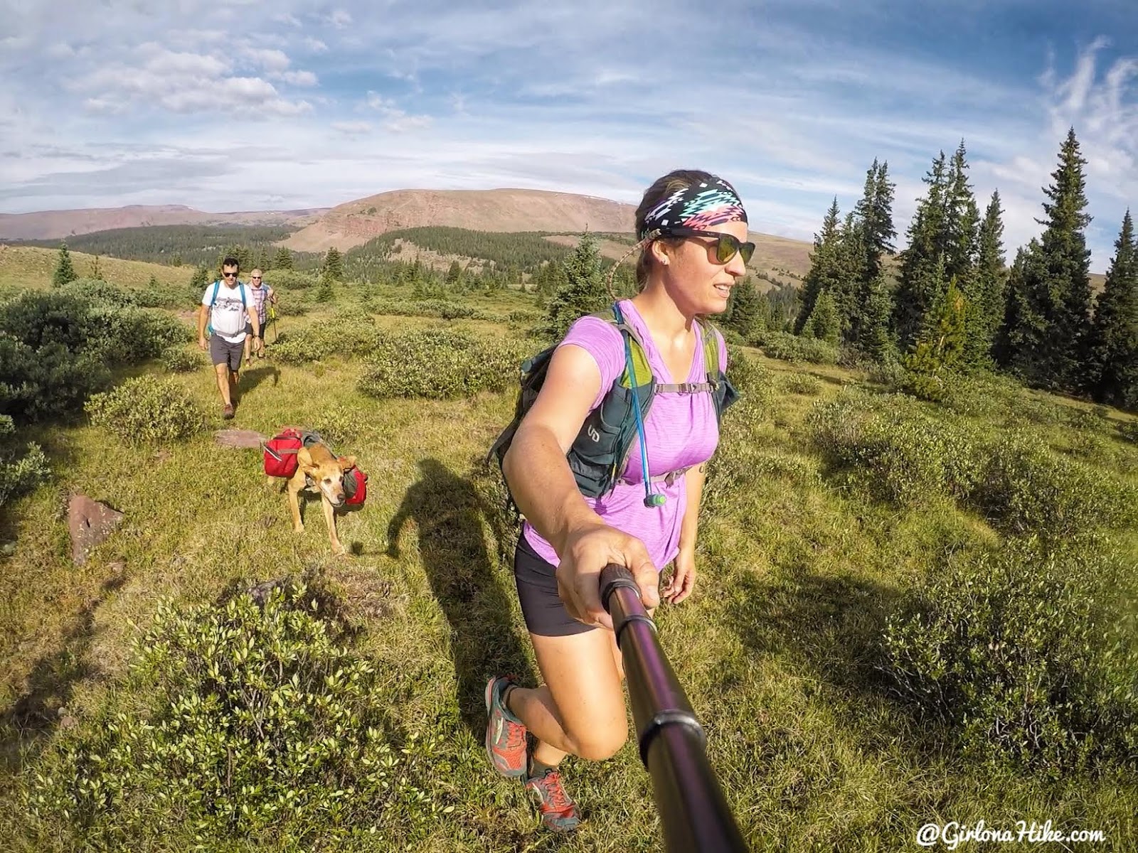
After the boulder field its easy hiking for the next mile, across open high-alpine terrain.
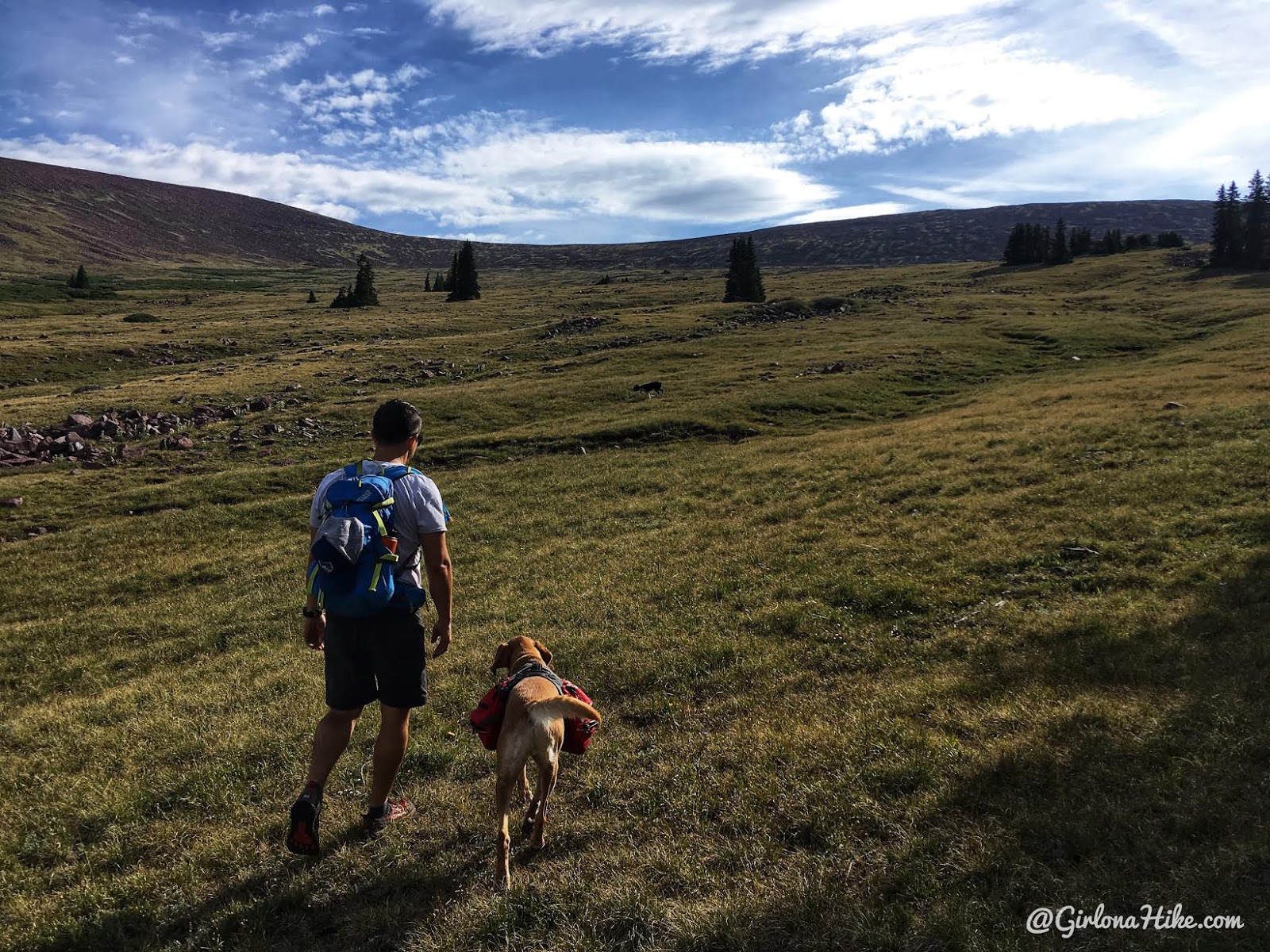
We were all surprised at how grassy this section of hiking way. When I was researching the terrain on Google Earth, it looked like it would be a full boulder field the whole way. What a nice treat that it wasn’t!
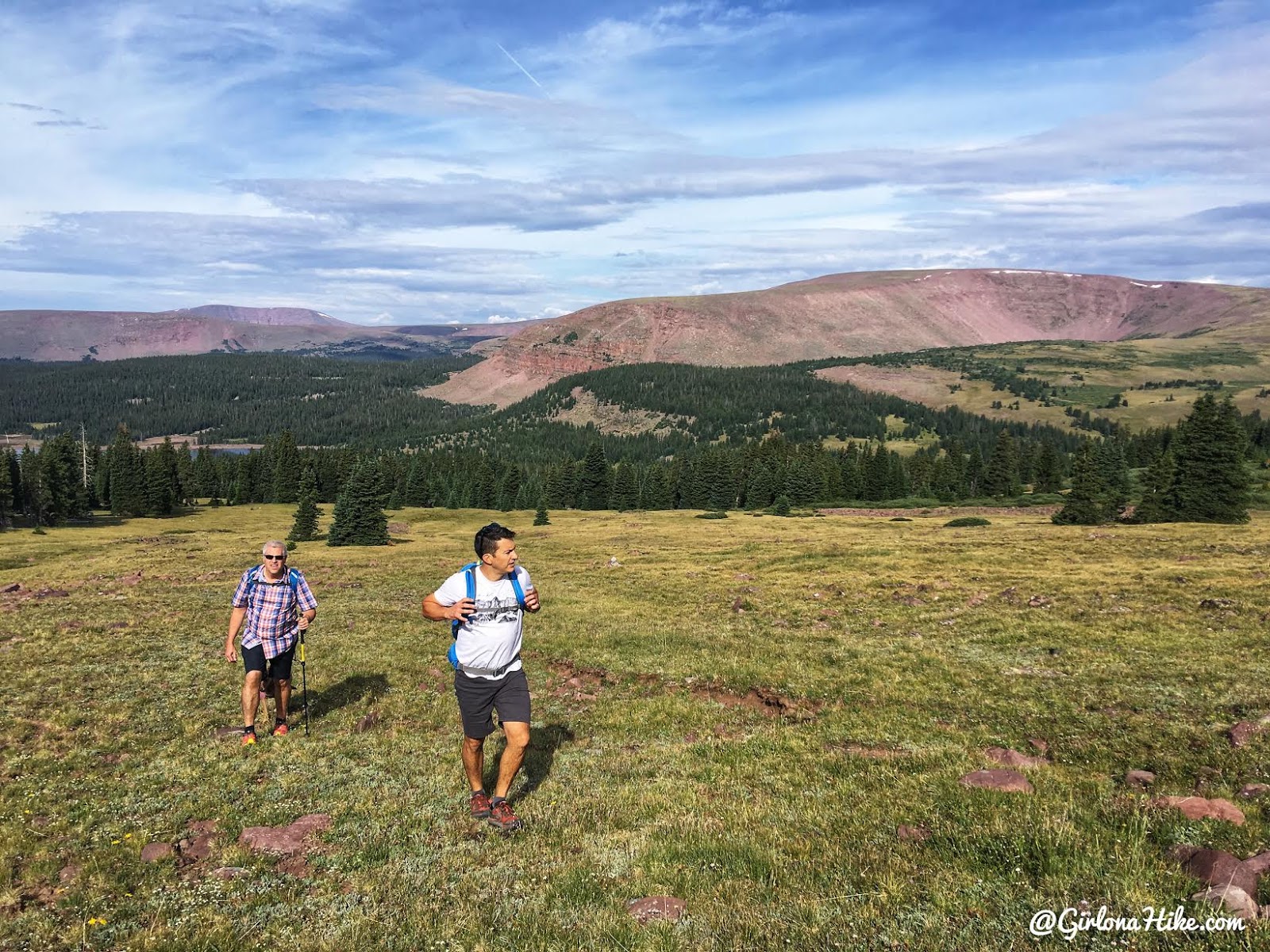
Don’t forget to look back, the views are so pretty.
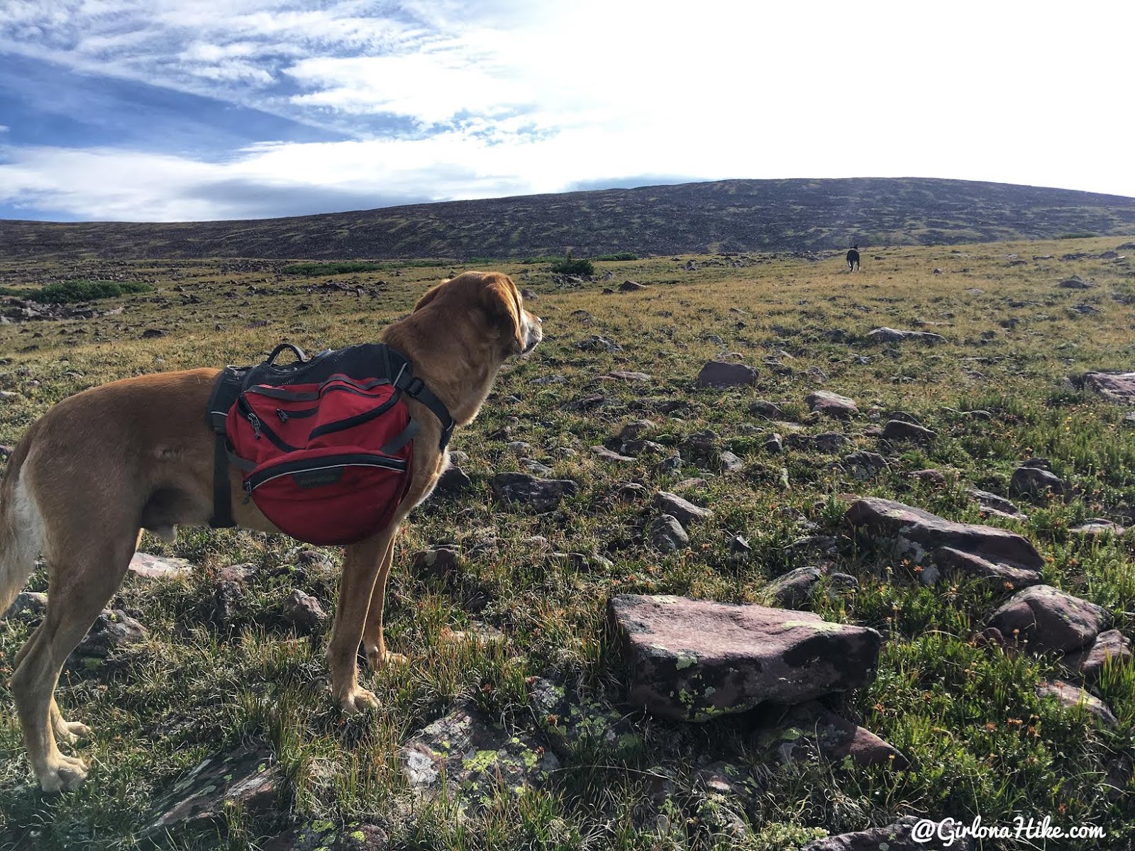
The next boulder field is just ahead. Charlie stops for a drink and watches his buddy ahead.
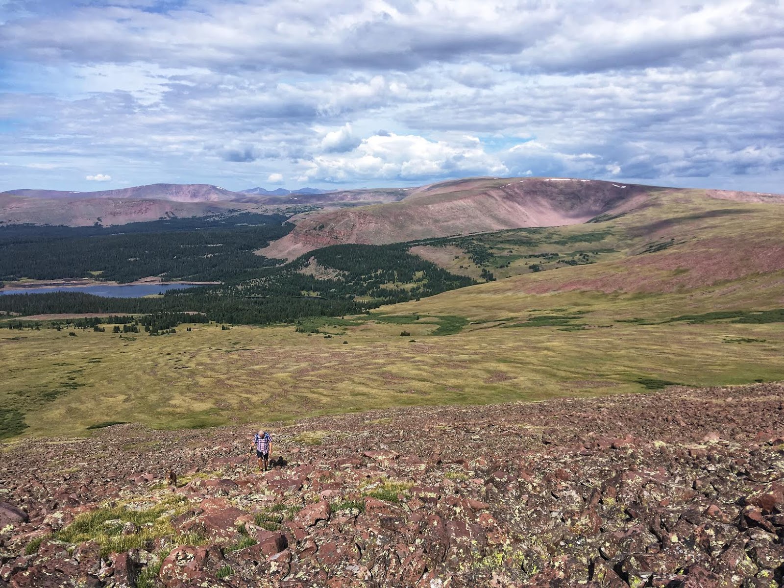
Now in the boulder field, you’ll be rock hopping more in between grassy sections. It’s a little steeper than before, but not by much.
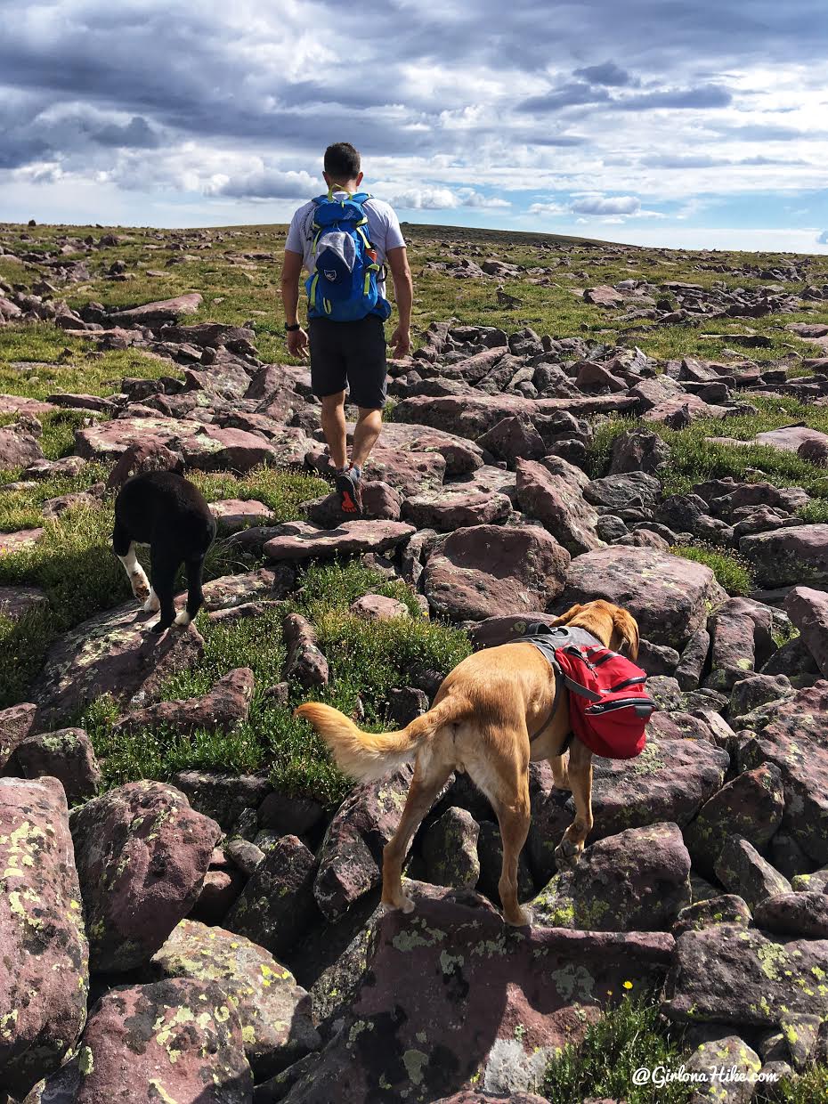
What the last mile of the route to the summit looks like.
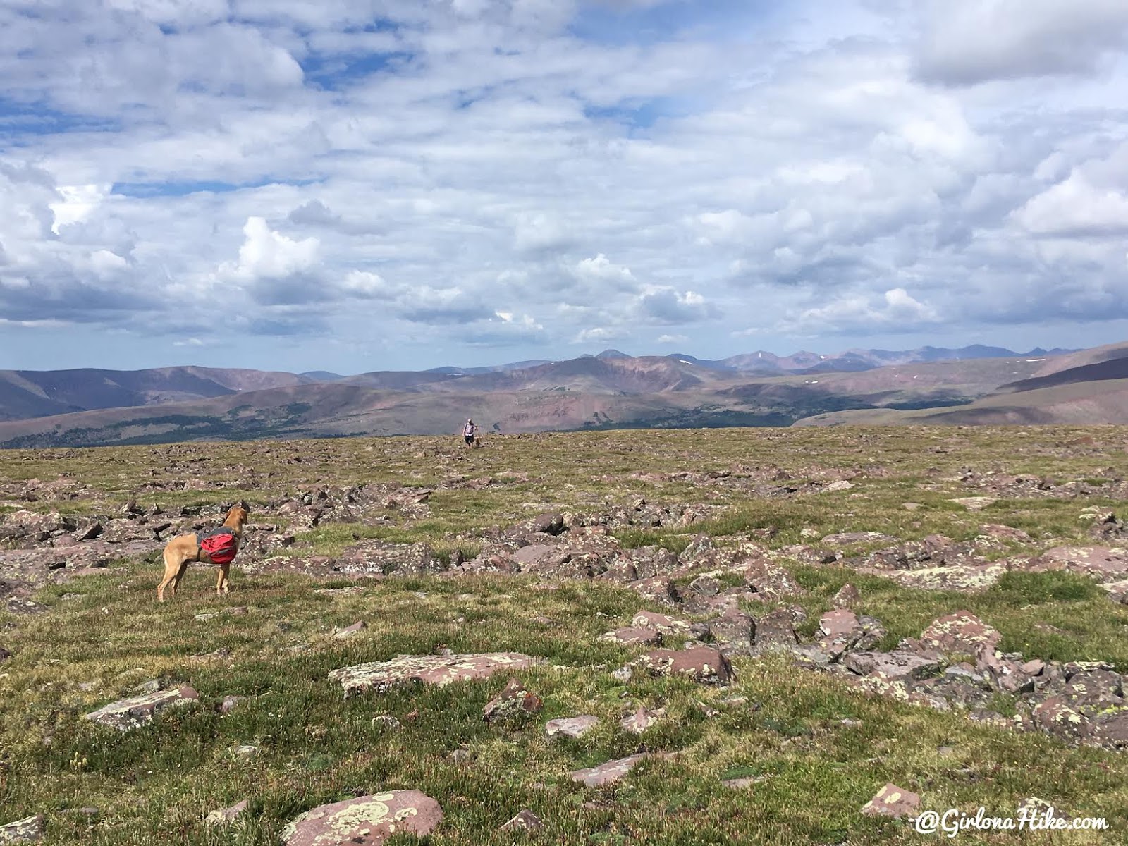
Charlie waits for Uncle Dan to catch up. Look at all those peaks in the distance!
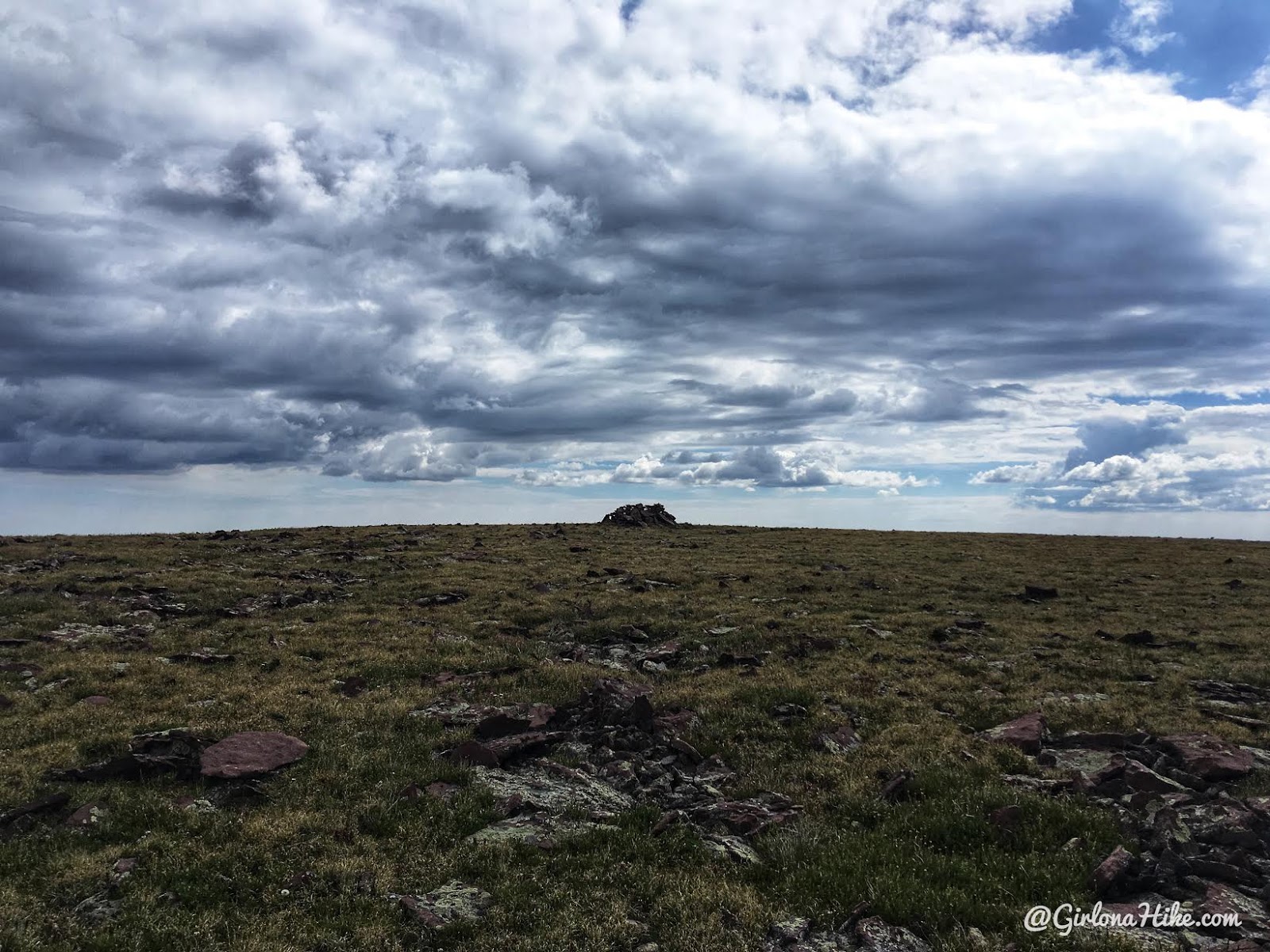
The summit is marked by this large cairn that creates a wall for wind-protection.
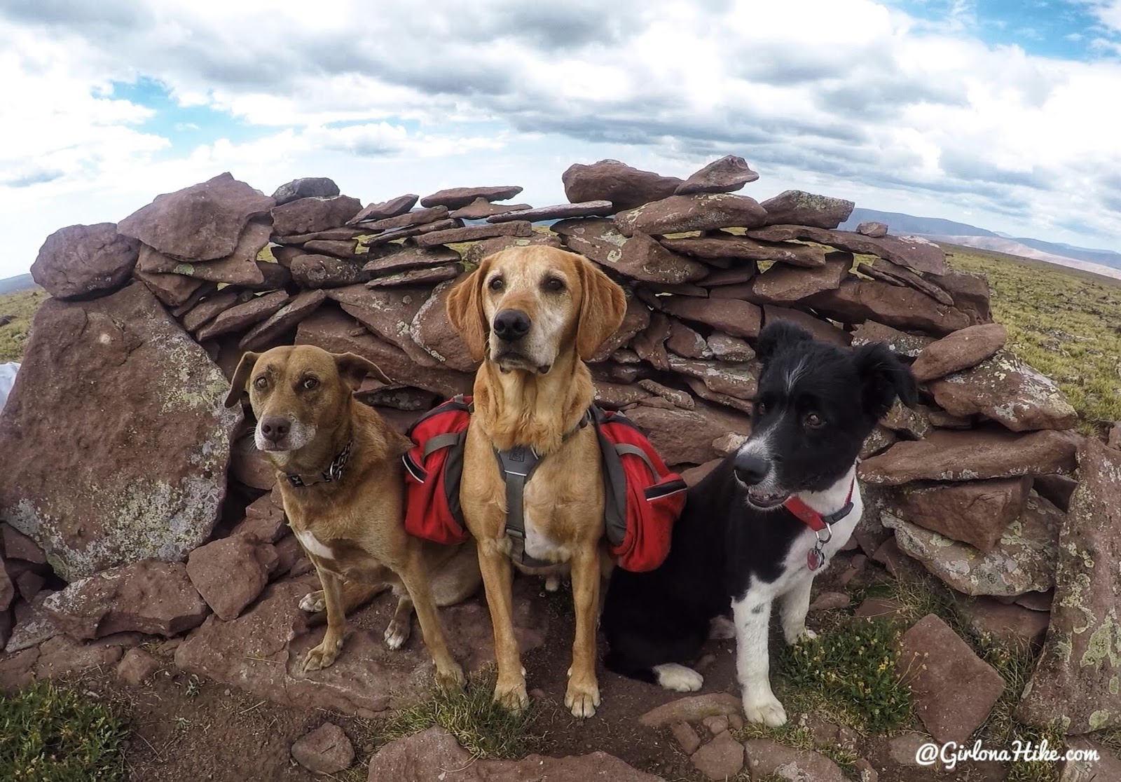
Yay, we made it to the summit! The dogs were very proud of themselves LOL! Mama on the far left looks scared though…she’s a funny dog.
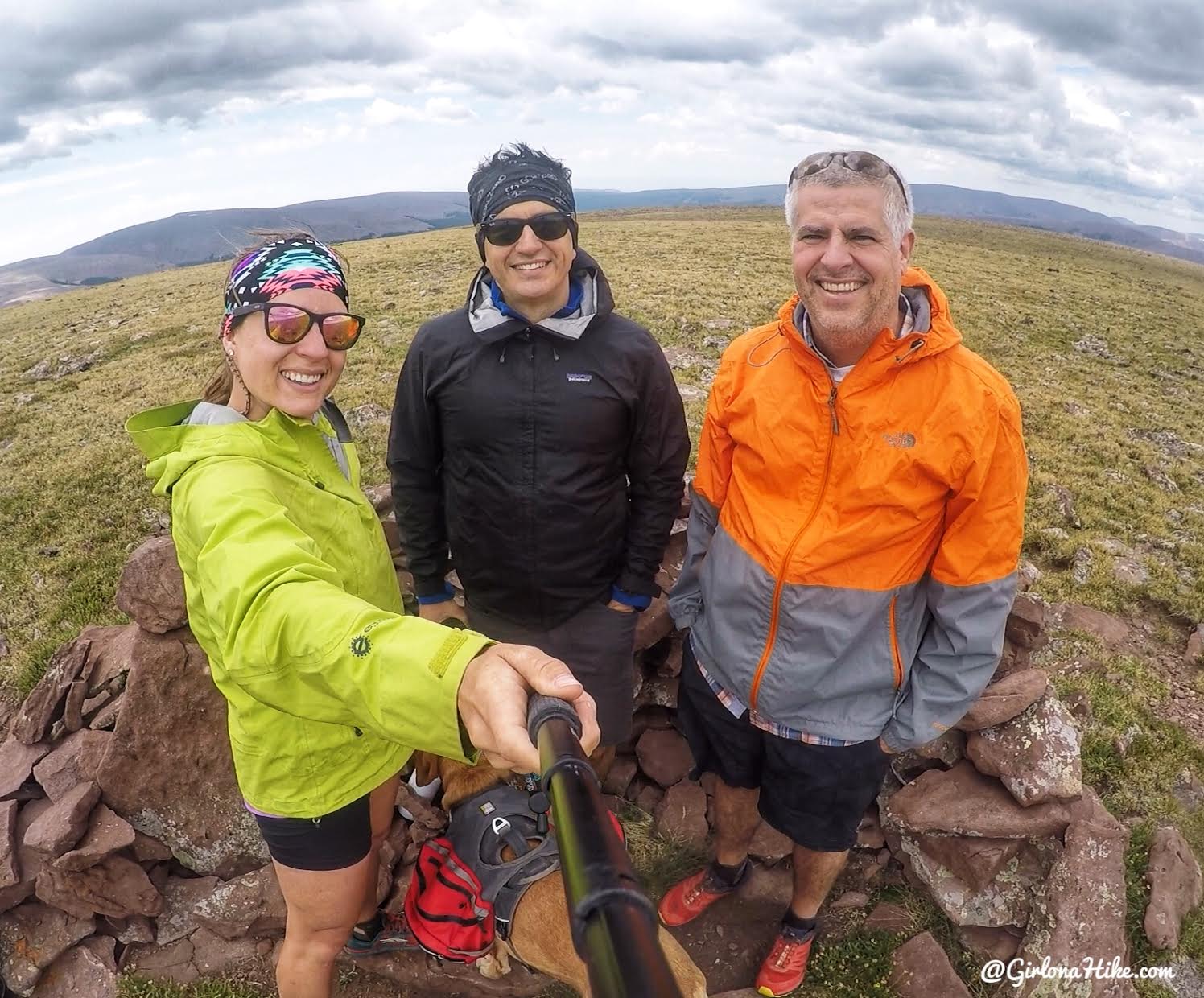
We were proud of ourselves too haha! That was a really nice, easy peak to summit. Probably one of the easiest in the Uintas. You can see that we had also put our jackets on by this point, as the summit was pretty windy and dark clouds were starting to form. I almost wished I had gloves too!
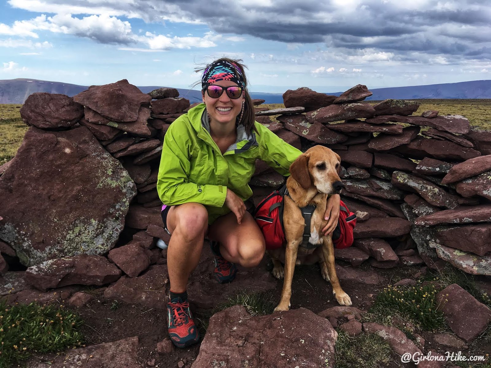
Eccentric Benchmark with my baby!
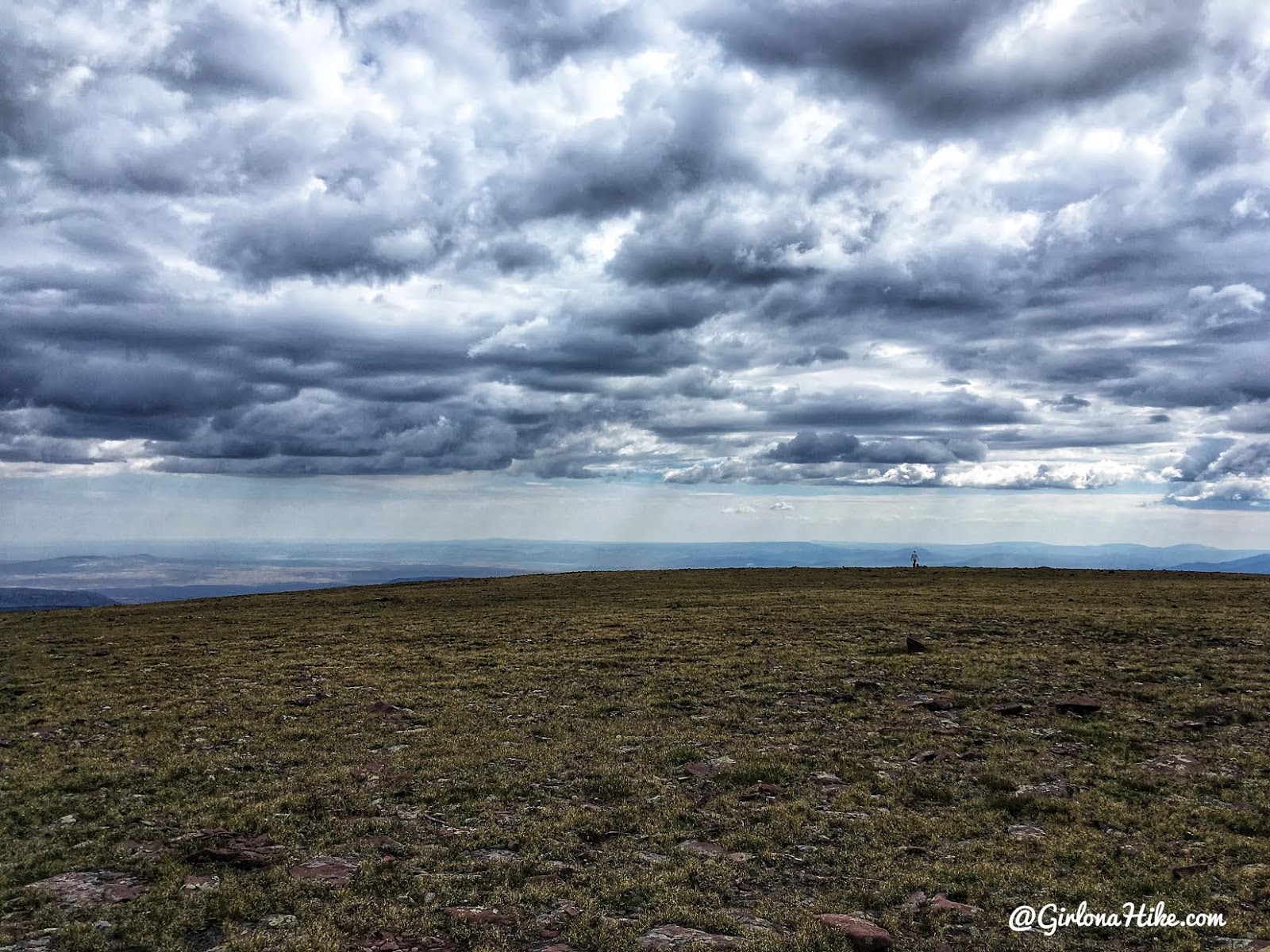
Dan hiked out to the end of the hill to see more, and said he could see some lakes. See that body of water way out in the distance to the left? That’s part of the Flaming Gorge!
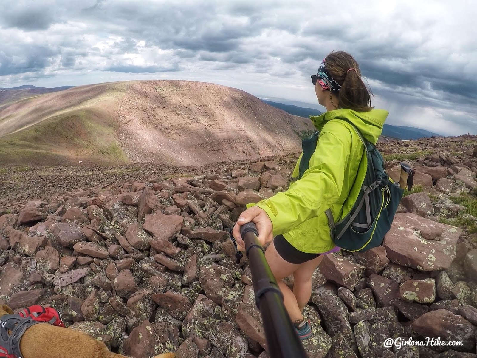
Because it was only 3 miles to the top, and we were all still feeling pretty good, we decided to keep hiking. We decided that we would follow the ridge all the way around, and over, to Walk Up Lake. My initial plan was to hike to just the summit for the day, then hang out at camp the rest of the day. But if we could knock it all out in one day, why not!?
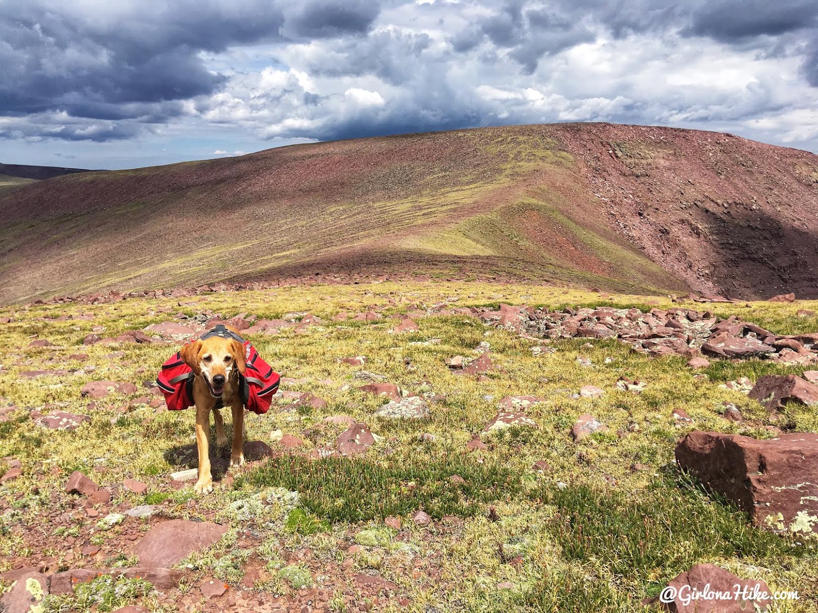
Getting close to the saddle. The hiking along the ridge is also pretty easy – more of a mix of rock and high-alpine terrain. It was also still windy along the ridge.
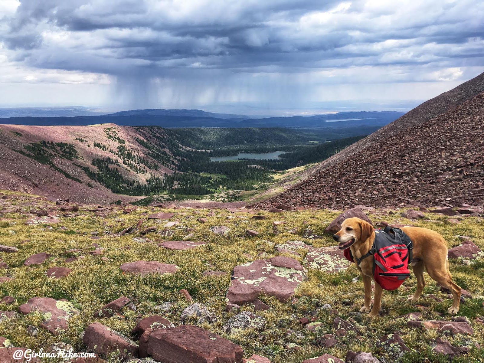
Right at the middle of the saddle – this is looking North down to Dagget Lake. I’m not familiar with any routes hiking up from Dagget Lake to the summit, but I bet you could just hike cross-country and make your way to the summit.

Here’s a crazy thing about this part of the Uintas
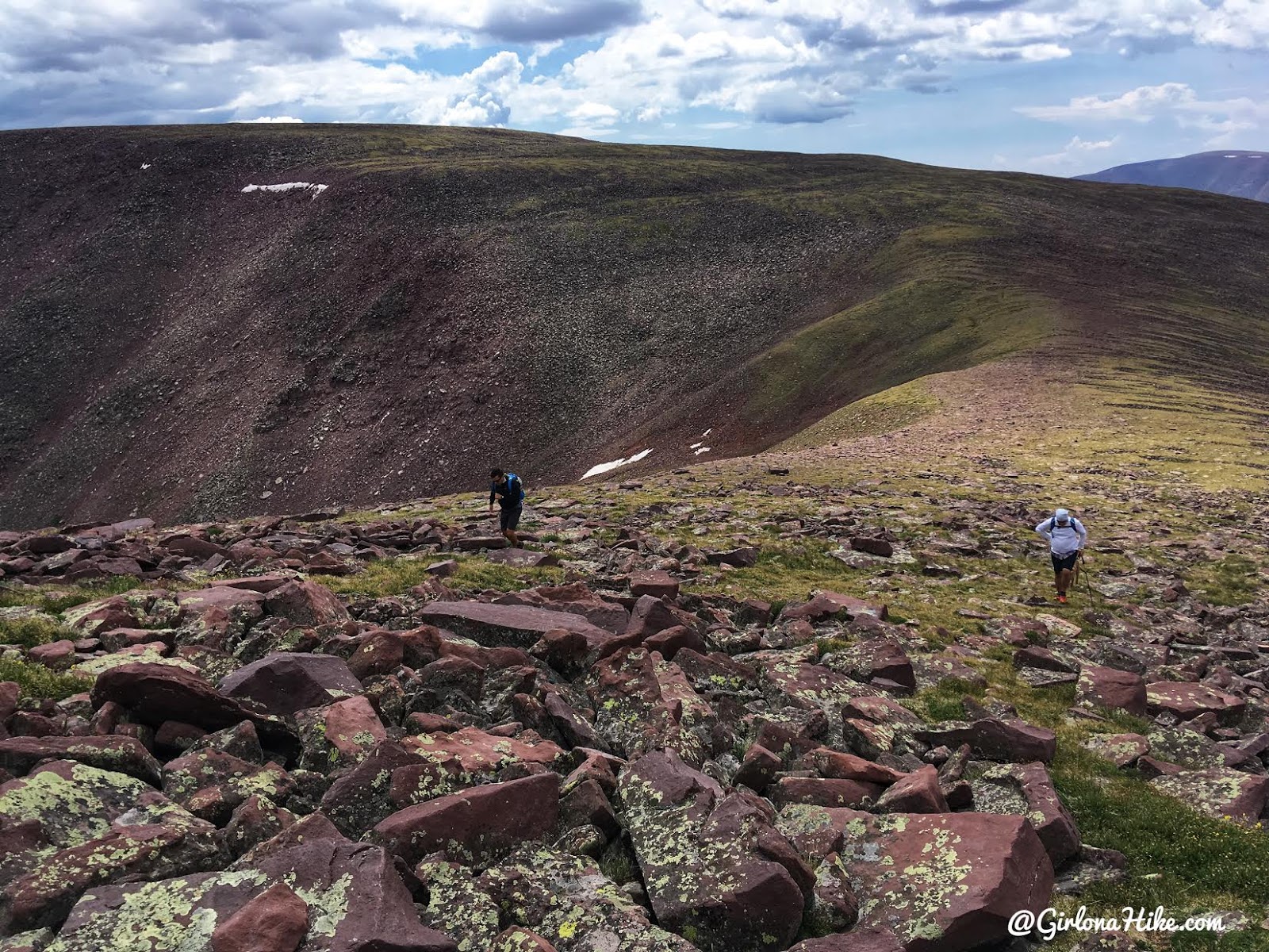
Looking back at the ridge we just hiked down. Wow!
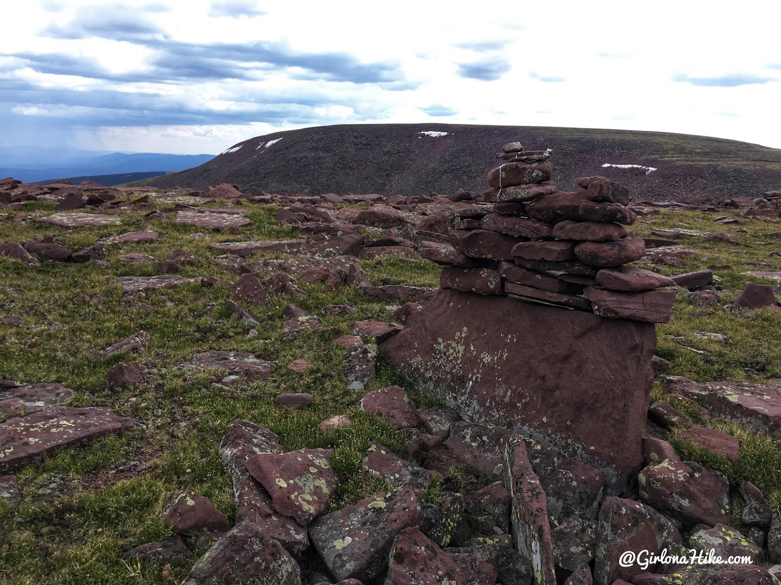
Adam insisted that we had to reach the next peak on the ridge because he saw a bunch of cairns. This part of the hill was weird because there we actually cairns like this one all over the place! This hill has no official summit name or is apart of any peak list. But we saw it and did it anyway.
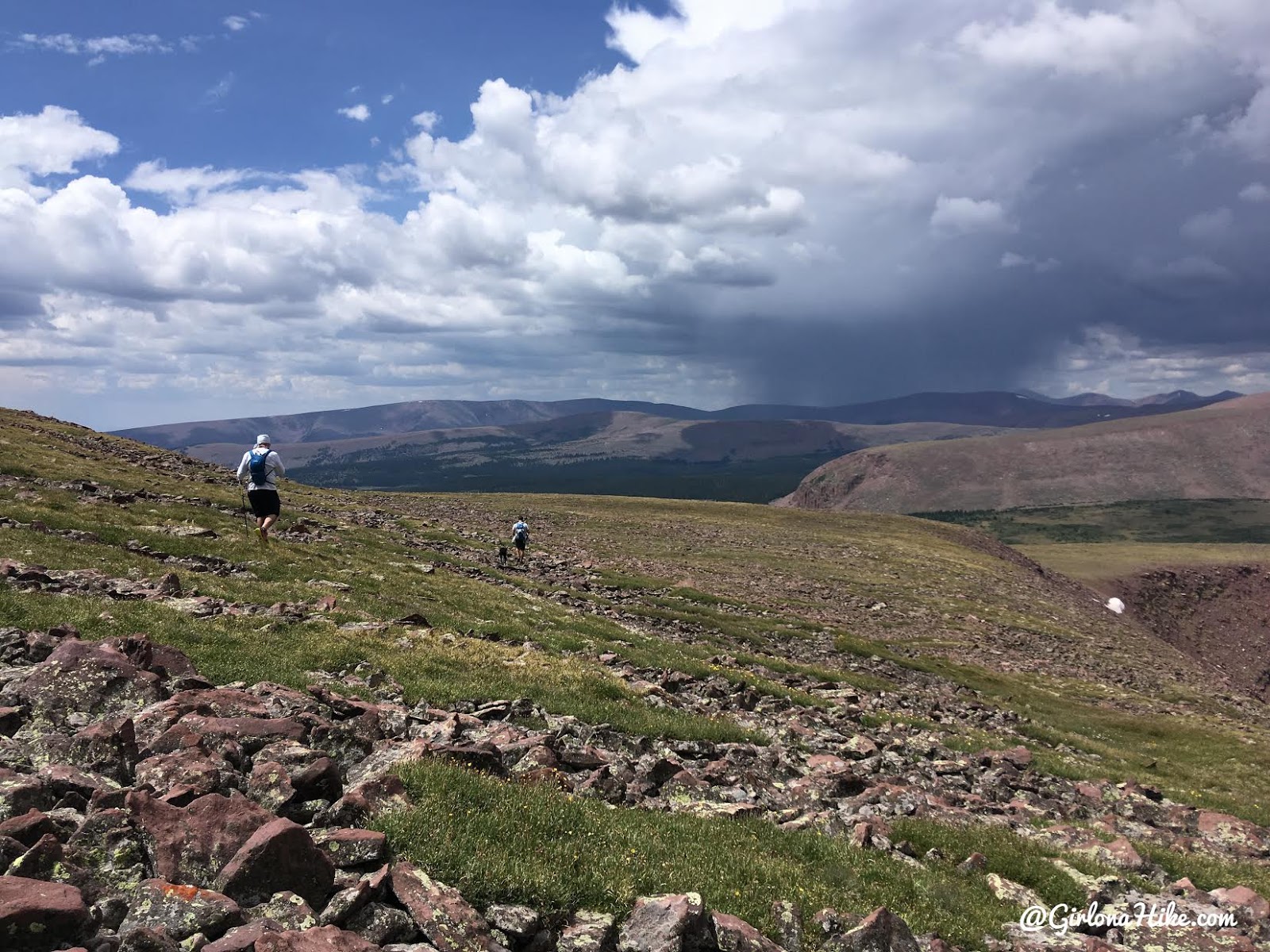
I really wanted to hike along this part of the ridge so I could see down into the Spirit Lakes area. You can actually also start from this area to reach Eccentric Benchmark, though this route is less popular. Rain was starting to arrive at this point. We tried to hike faster so we could avoid it.
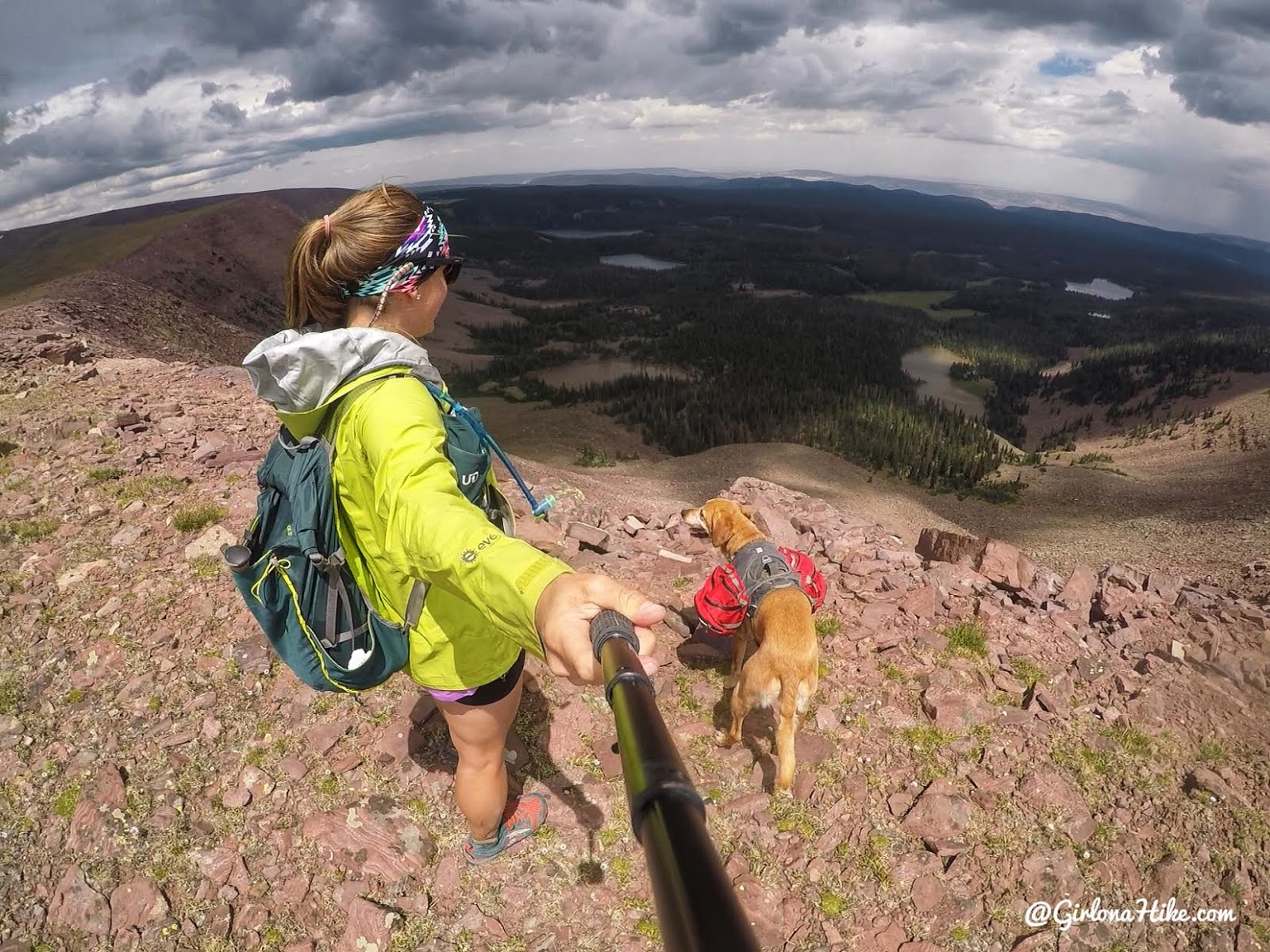
Looking down into the Spirit Lake area.

Unfortunately the rain got us, and only rained for about 10-15 minutes. It wasn’t too bad. We were more concerned with lightening. I kept thinking, “We just need to reach the lake, so we can get off this ridge.”
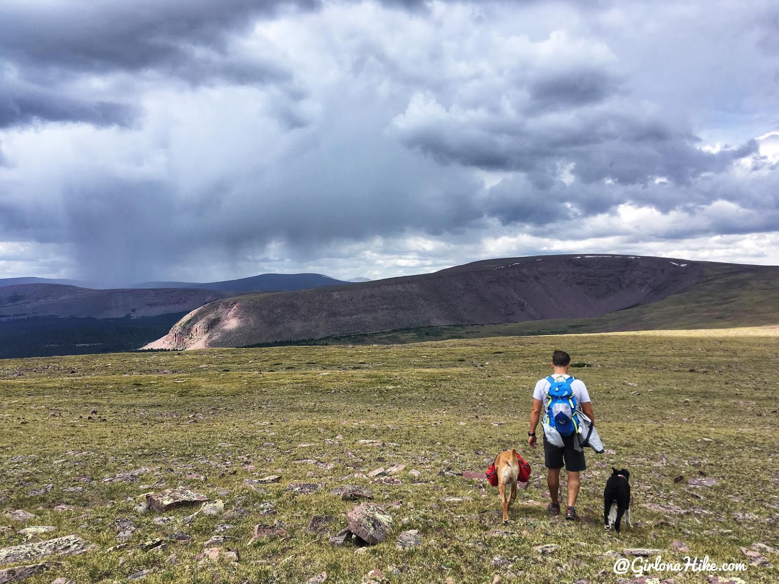
It was definitely cutting it close, so we hiked without stopping for the next 2 miles.
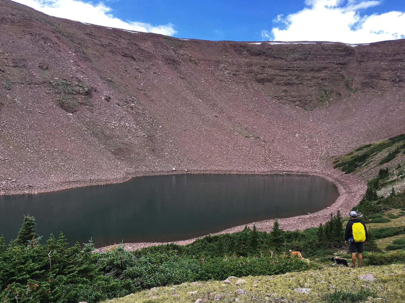
We then reached Walk Up Lake! We figured if we had hiked all this way that we would actually go down to the lake. It’s quite a drop down, and wouldn’t really be a good lake to backpack to because it’s very rocky with no flat areas to set up a tent. Again, we couldn’t believe how low the water level was, just by looking at the old water lines and how much rock was exposed.
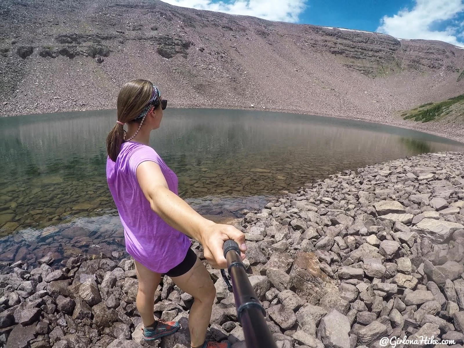
The water is super clear though. I only saw one fish jump.
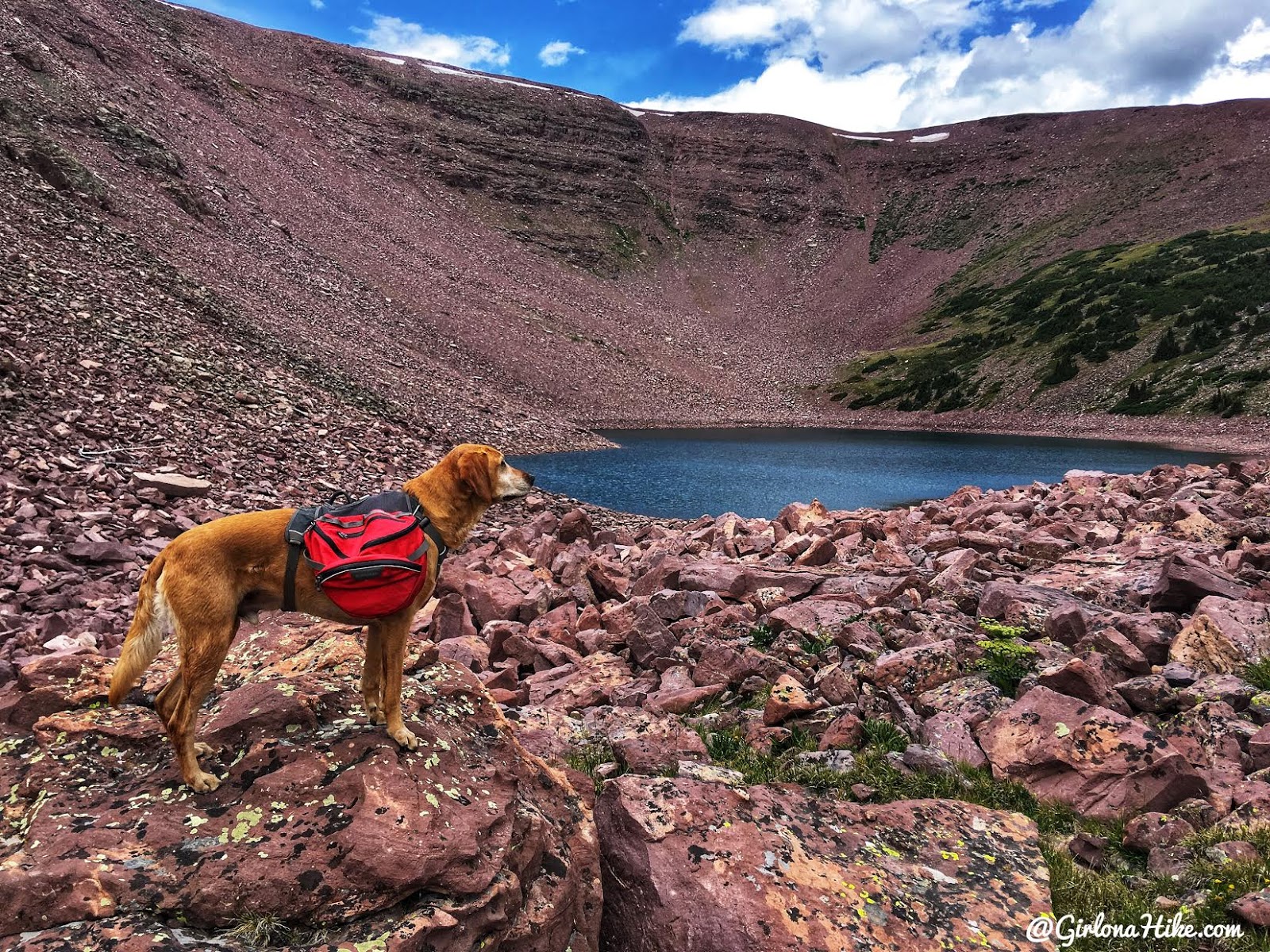
We hiked out a slightly different way than we got to the lake. Looking at the map, it seemed best to follow the shallow gully down, then loop over to Wigwam Lake. This section has a lot of boulders. I love hiking over boulders but after 8 miles at this point my feet were starting to get tired. Charlie stops for one last look of Walk Up Lake.
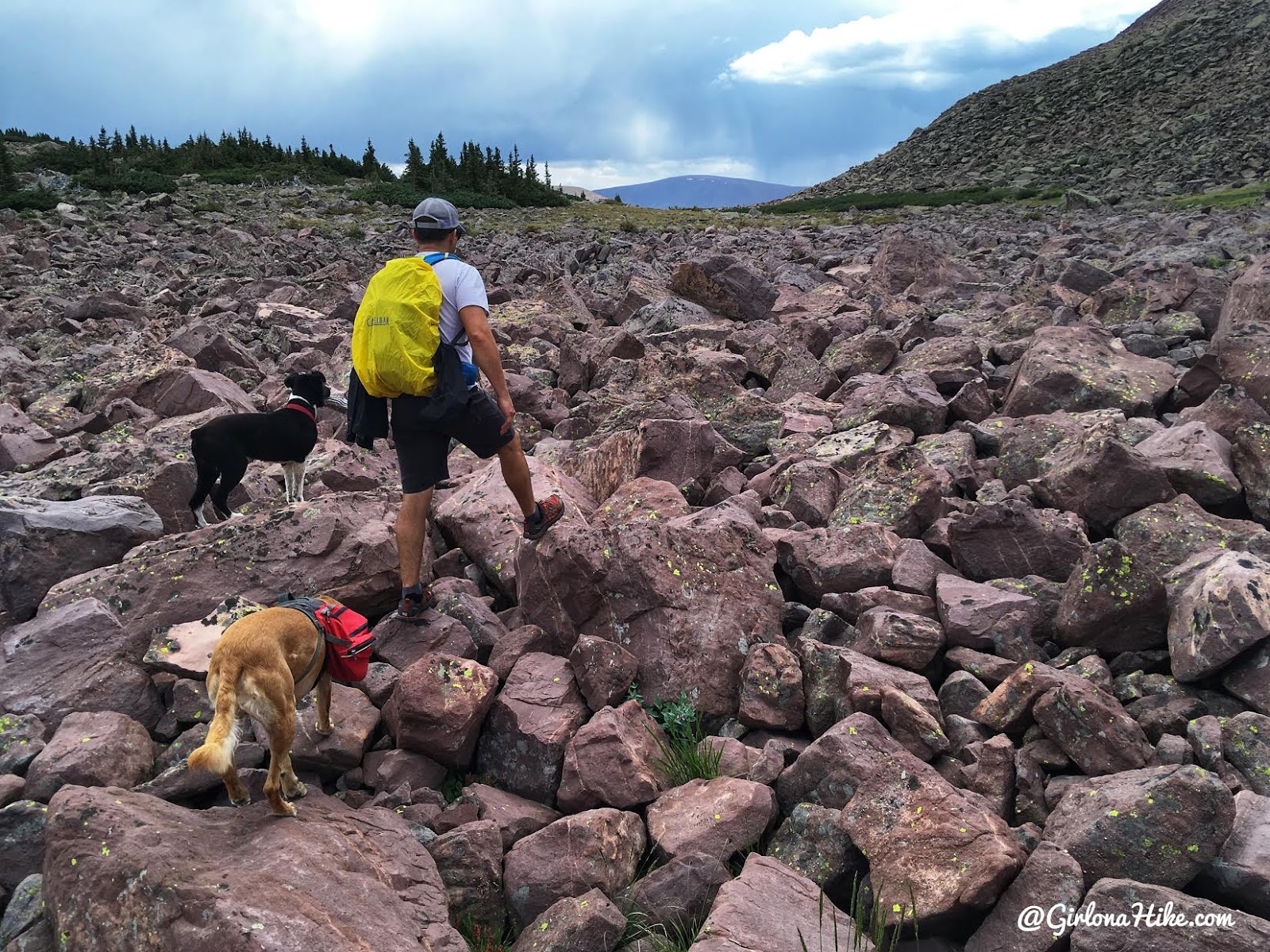
More boulders…I think at this point I said something to Adam like, “Ok, I love boulders but this is getting old!”
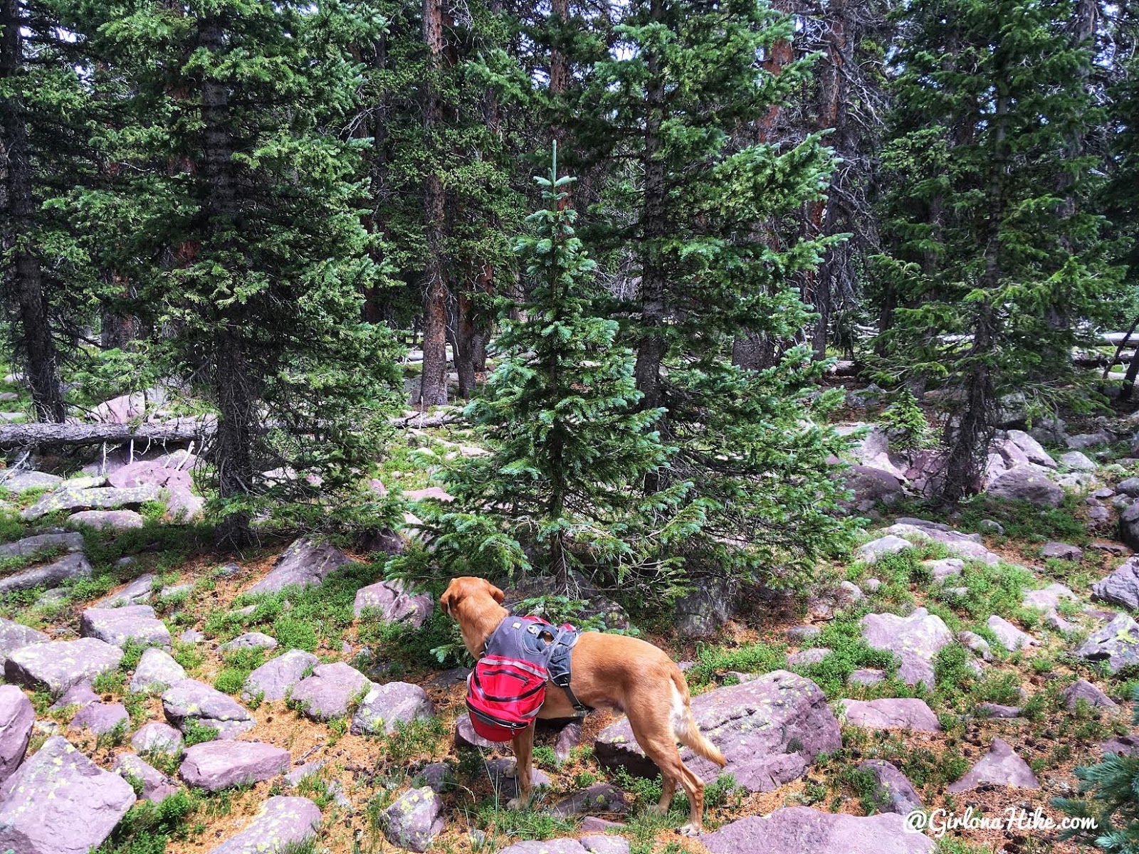
From here I continually looked at Gaia GPS to guide us back to Wigwam Lake. We hiked through a field of trees for a few minutes.
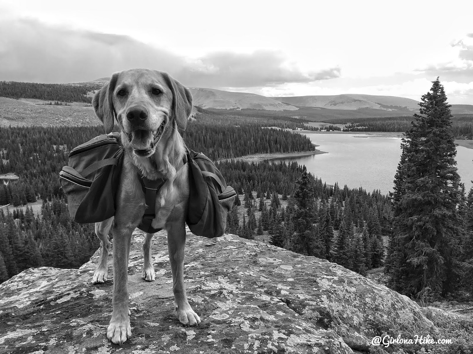
Gaia GPS led me the correct way, and we got to this nice overlook of Chepeta Lake. We were so close now!
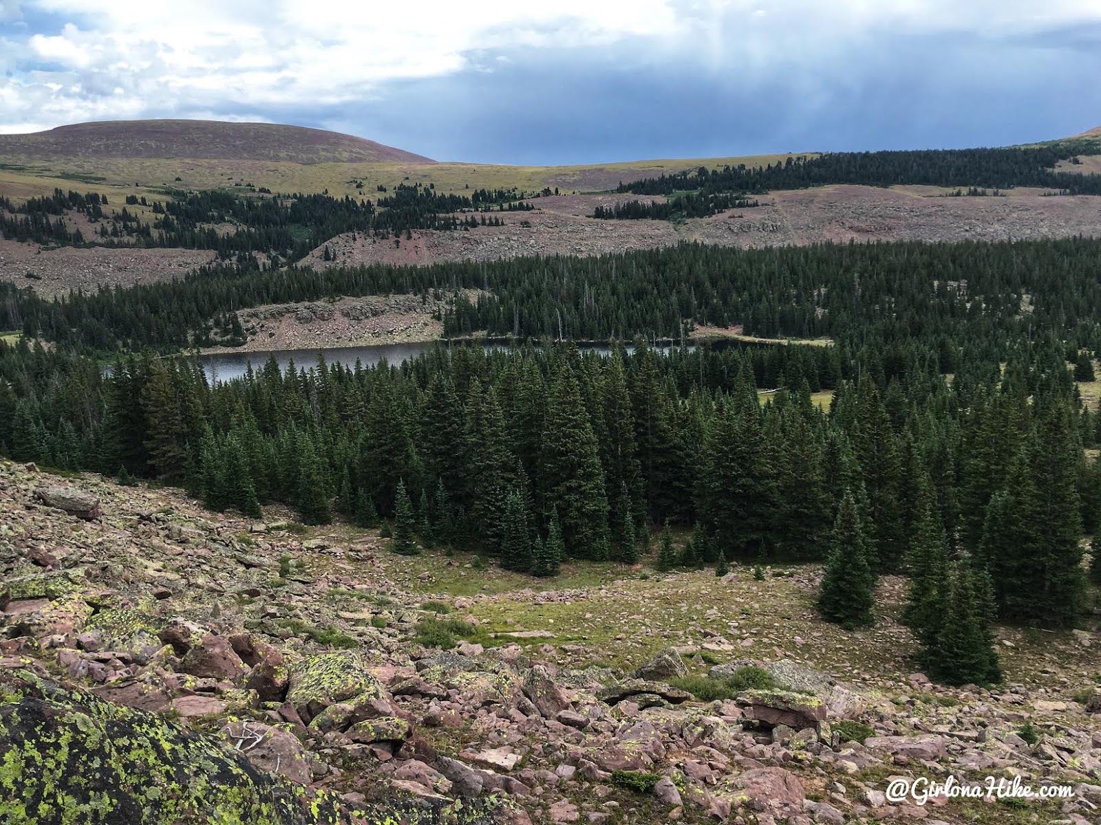
We hiked down a short, steep boulder hill and could see Wigwam Lake. From here, we just hiked through the trees to pick up the actual trail.
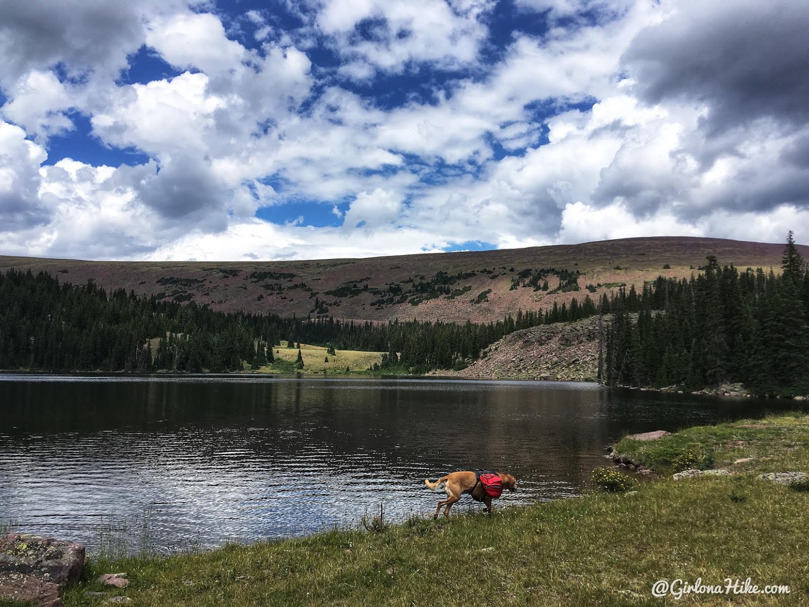
Wigwam Lake.
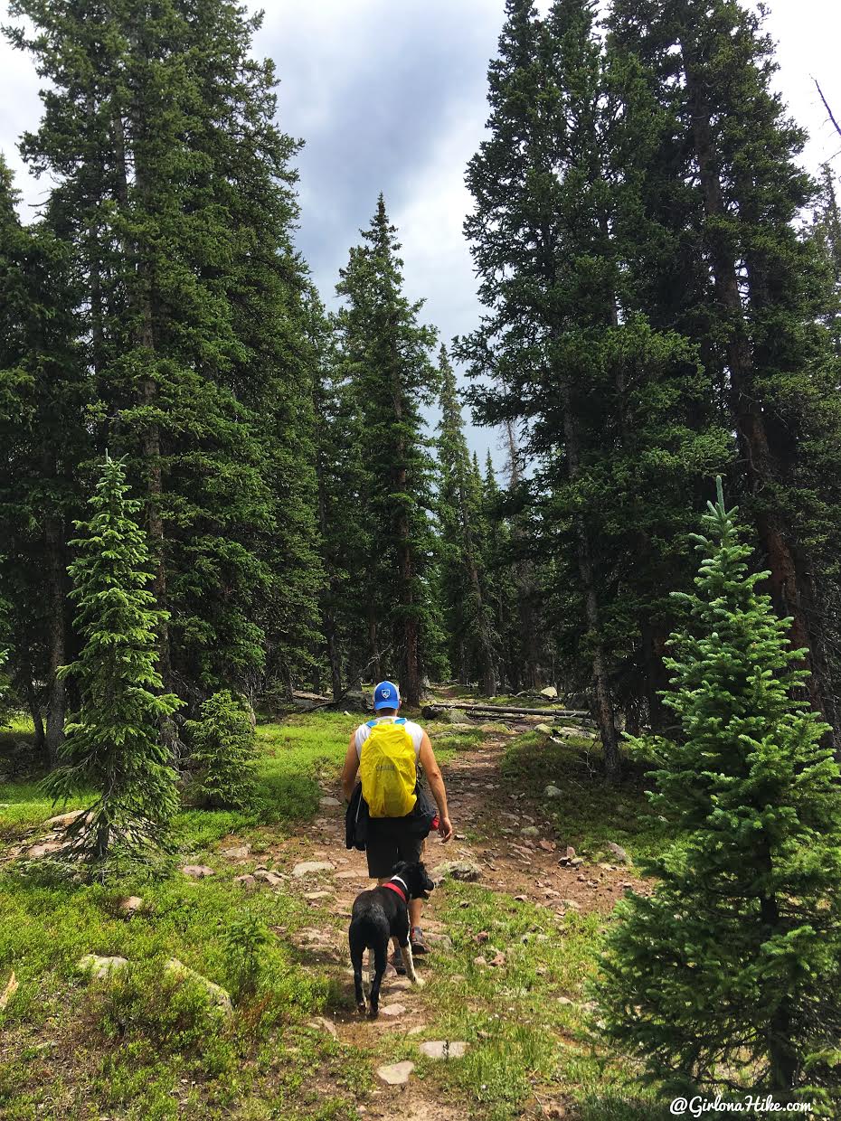
Finally it was easy hiking along the real trail. Back to mosquito land! We met up with our original trail split, and passed by Moccasin Lake again. By that point, several people were now on the trail and at the lake fishing.
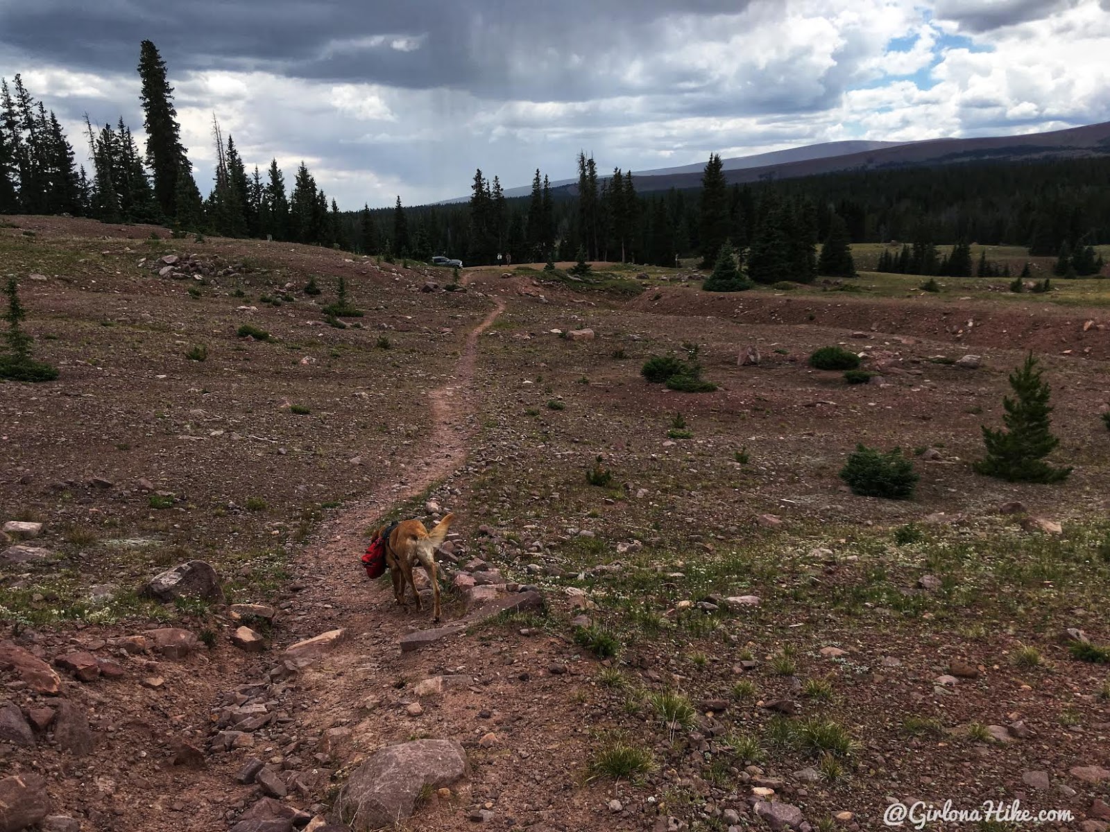
Almost back to the car, yay! I honestly loved this loop, and really glad we turned it into a full day. We got back to the car by 3-ish, and still had plenty of time to hang out at camp.
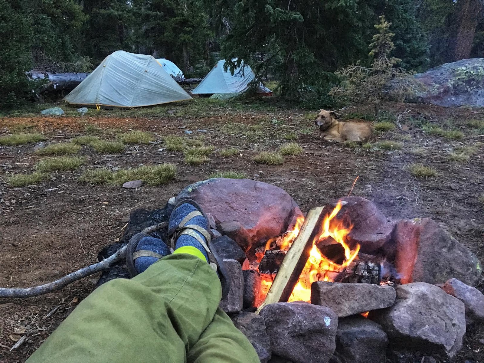
The closest, official campground is the Pole Line Campground, about 12 miles down the road. However, there are several free campsites at the Chepeta Lake TH, and along the road you drove in on. The Chepeta Lake TH had about 5-6 campfire rings already established, and roughly 60-70 cars could fit in that lot. However we were the only campers the weekend we went. Had it all to ourselves! There is a restroom in the parking lot, but you’ll need to have the rest of your own stuff (water, table, etc). It’s free to camp here.
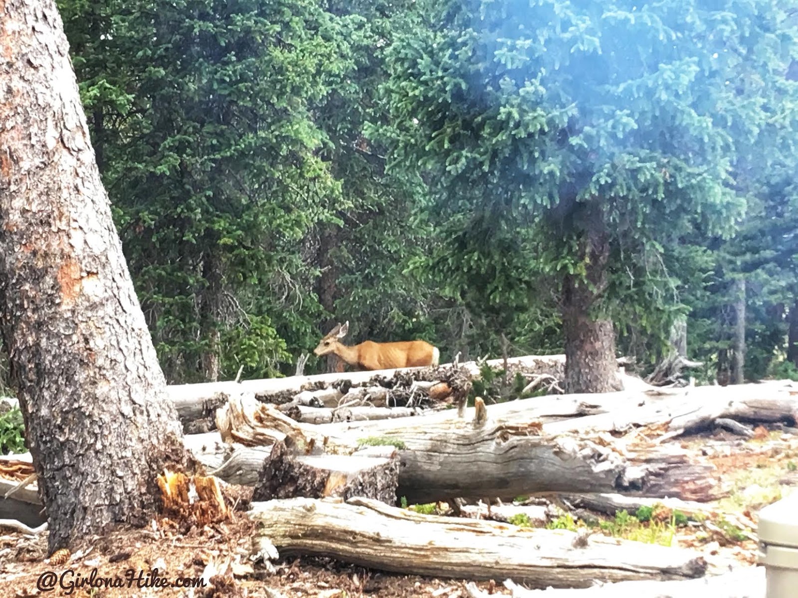
The deer aren’t afraid of people here sadly. They kept coming within 20 feet of our camp. The dogs sure barked a lot!
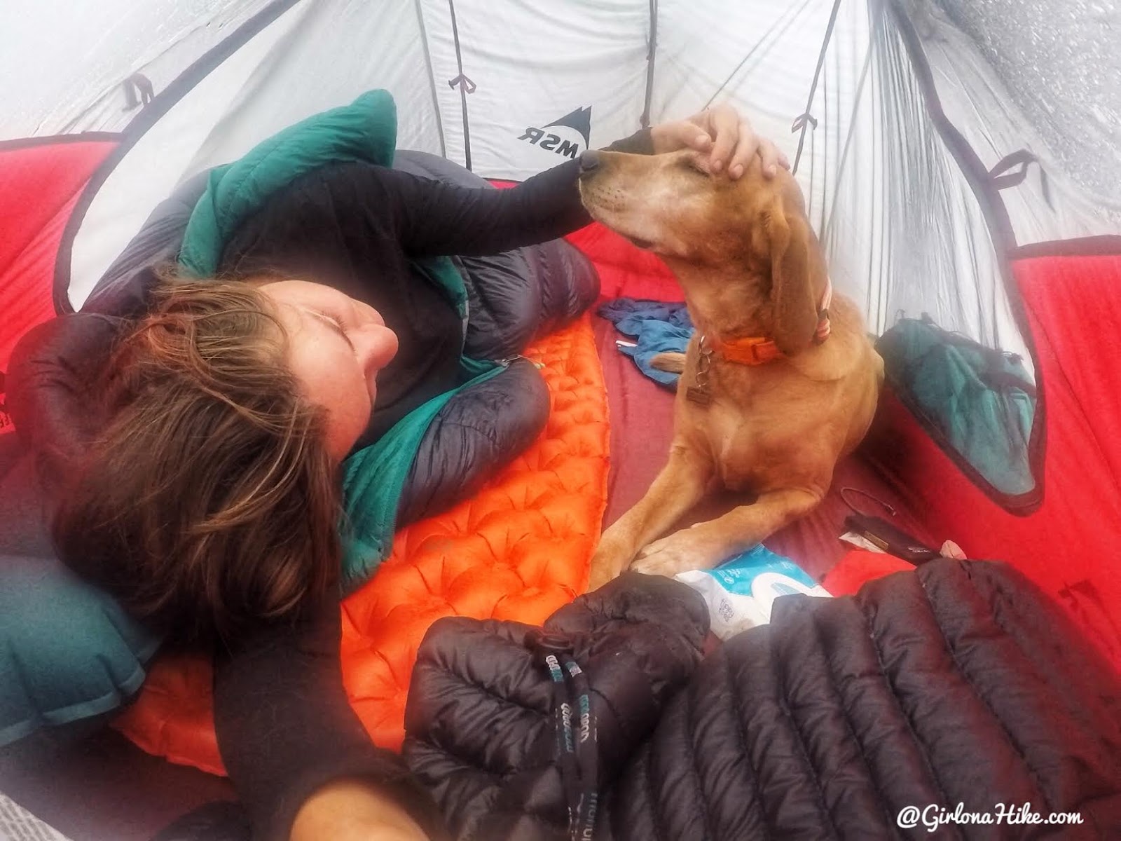
In the evening it rained on and off, but it was nice to end the day with tent snuggles.
PS I’m loving my new MSR Freelite2 tent! It’s so light and has plenty of room. So far it seems dog-proof as well, as long as their nails are trimmed.
The next morning we just relaxed at camp, and slowly packed up to head out.
Trail Map
Yellow – “trail” to summit
Blue – optional loop to Walk Up Lake
My track via Gaia GPS – the best tracking app! Get your app here for a discount.
Nearby Hike
Backpacking to Farmer’s Lake, Uintas

Save me on Pinterest!
