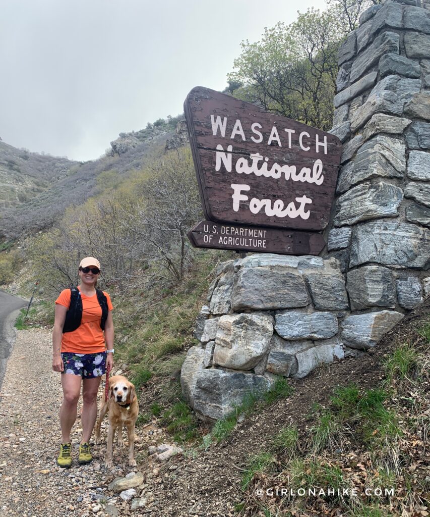
About the Farmington Canyon Trail
This trail offers a moderate, well-shaded route that parallels Farmington Canyon Road. Because it sits on a south-facing slope, it’s also ideal for snowshoeing in winter. However, keep in mind that the winter gate is only open from mid-May to mid-October, depending on snowpack. If the gate is closed, you’ll need to hike an additional 0.8 miles one-way.
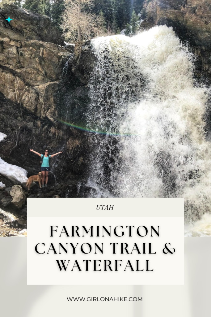
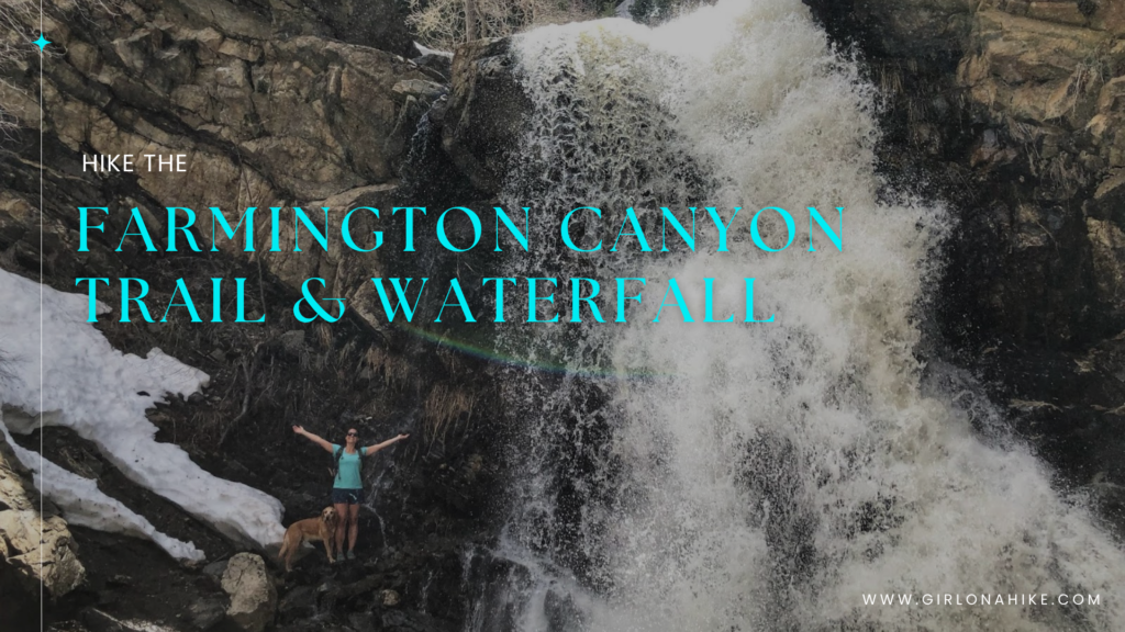
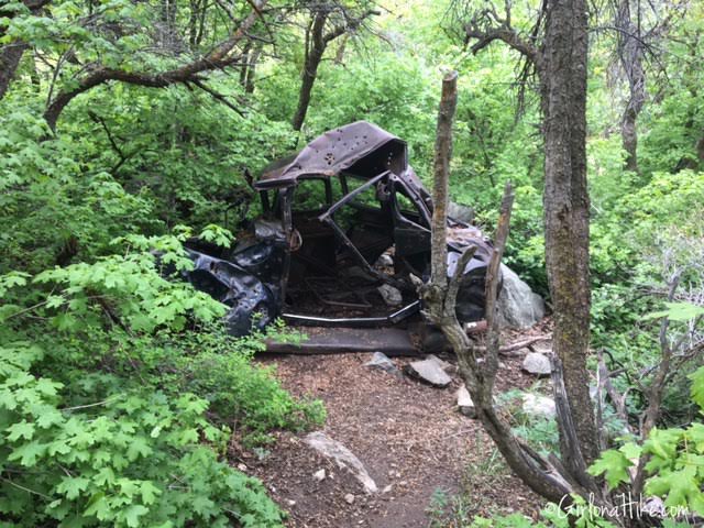
Farmington Creek, the largest stream in Davis County, flows alongside the trail and ends at Sunset Campground, a primitive Forest Service campground. On your way up, you’ll pass several relics of the past, including three old cars that fell from the road in the 1950s–60s. Coupled with scenic views and the impressive waterfall, this trail offers a rich blend of nature and local history.
Directions
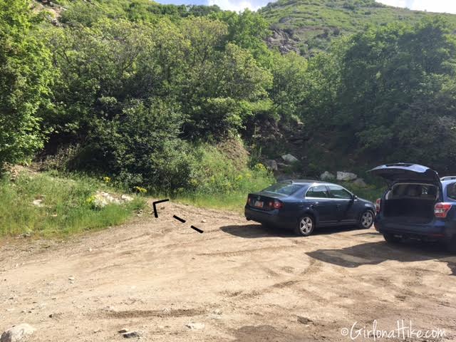
From Salt Lake City, head north on I-15 and take Exit 324. Turn right at the light, which becomes Main Street, then turn left on 600 North. Continue by turning left onto Farmington Canyon Road. Drive 1.6 miles until the pavement ends—there’s a dirt pullout on the right for parking. This is the trailhead. The trail begins at the northwest corner of the parking area.
⚠️ Note: This road is narrow. Drive slowly and be aware of bikers, runners, and ATVs.
👉 Click here for a Google Map with directions
Trail Info
Distance: 3.8 miles RT (to campground) in Summer. 4.8 miles RT in Winter (when the gate is closed)
What to Expect on the Trail
Seasonal Access
In summer, you can drive directly to the trailhead. During winter (typically November–June), expect to hike the closed road to access the trail.
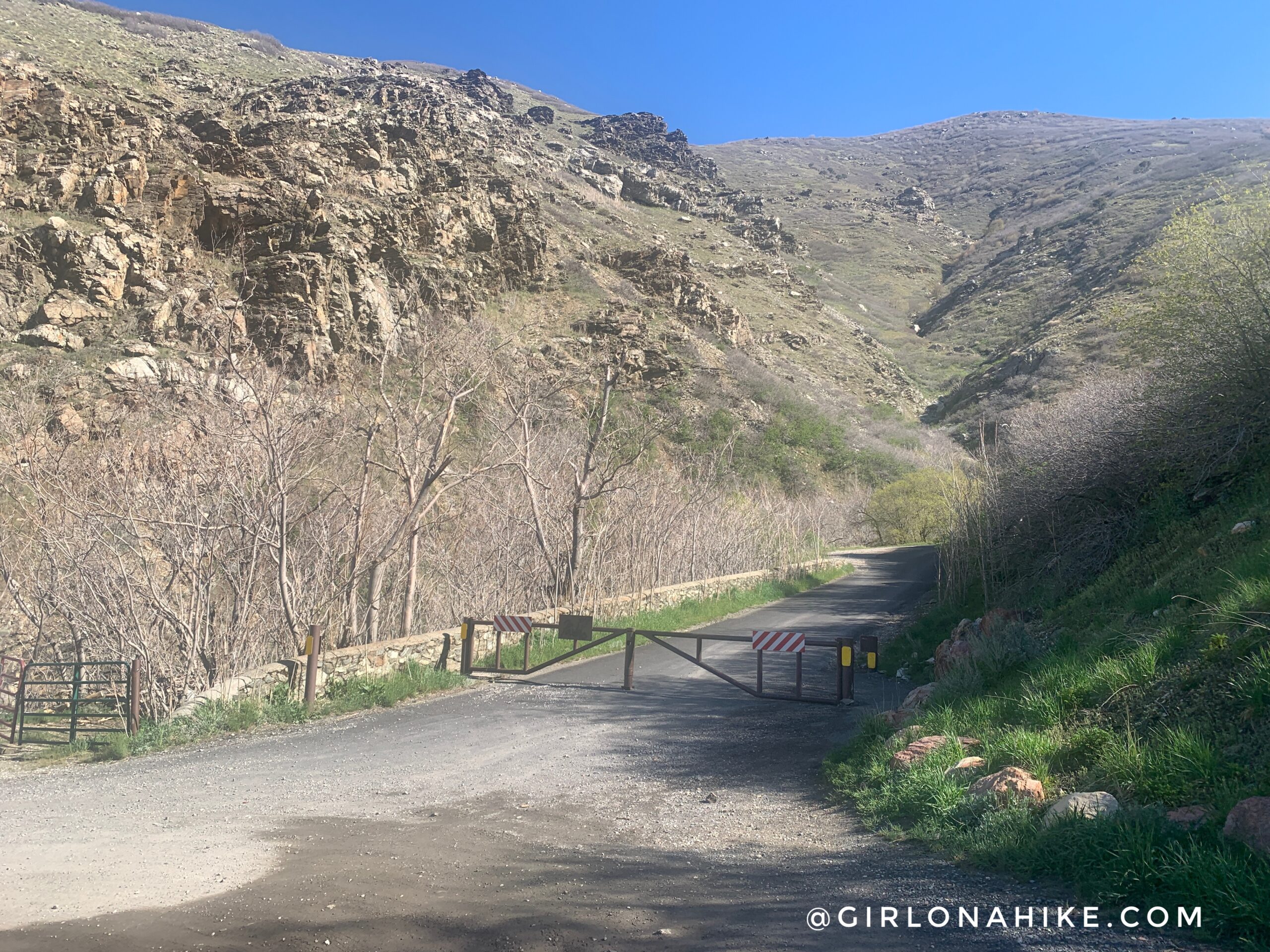
In Summer you can drive up the Farmington Canyon Road. In Winter months (typically November – June) you will need to walk the road.
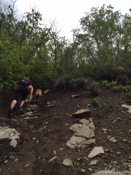
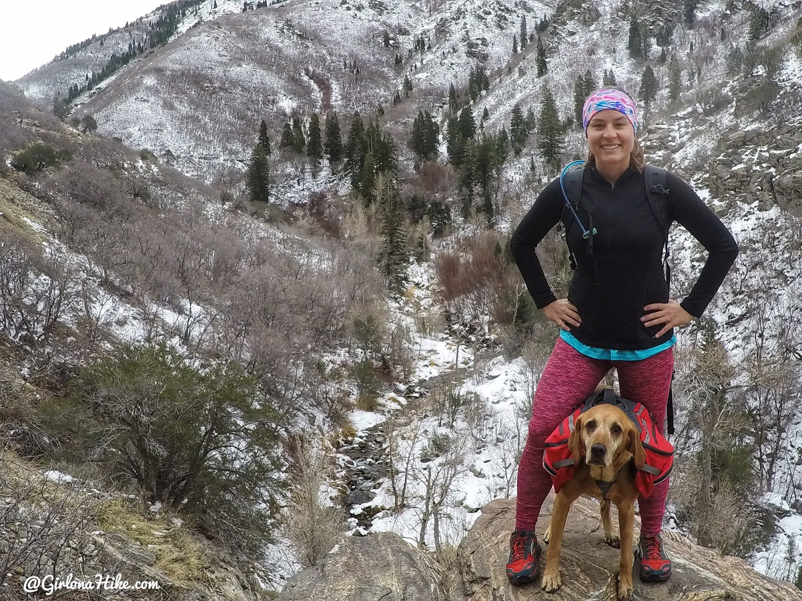
Trail Start & Initial Ascent
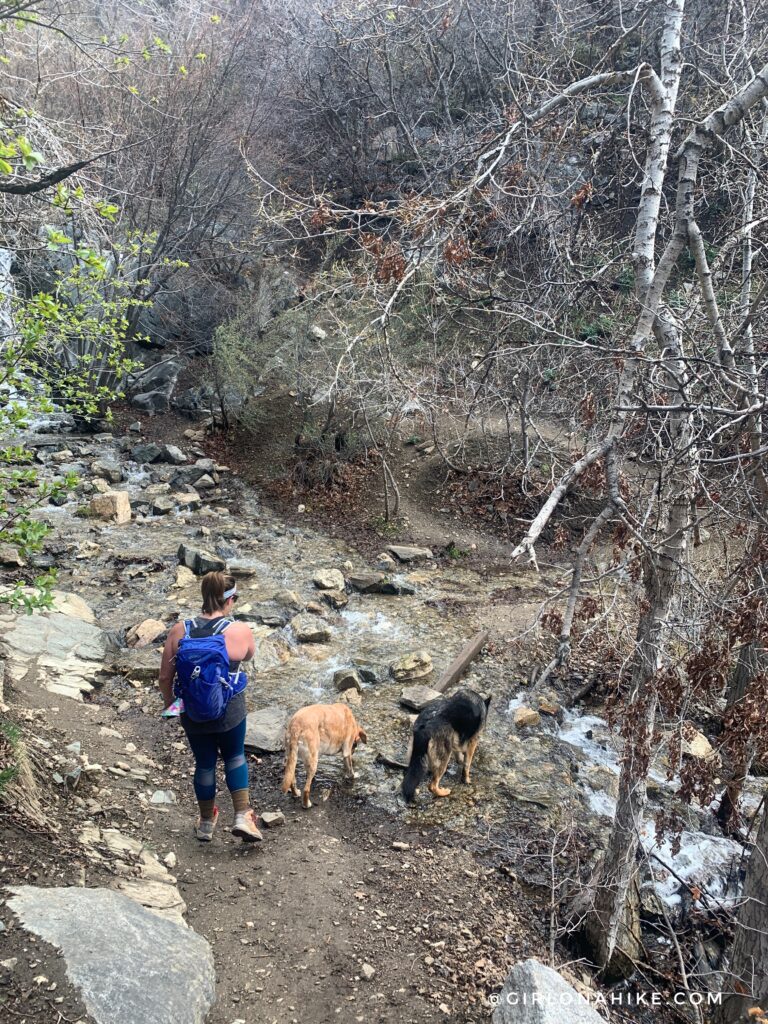
Although unmarked, the trail begins in the northwest corner of the parking area. The incline is moderate, and you’ll have regular views of the creek as you climb.
The trail immediately starts to gain elevation, but is very moderate. Most of the hike you will have a view of the creek below.
Flora & Stream Crossings
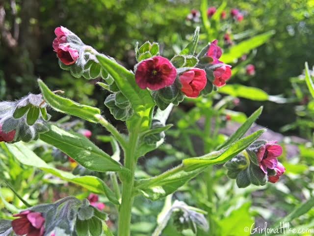
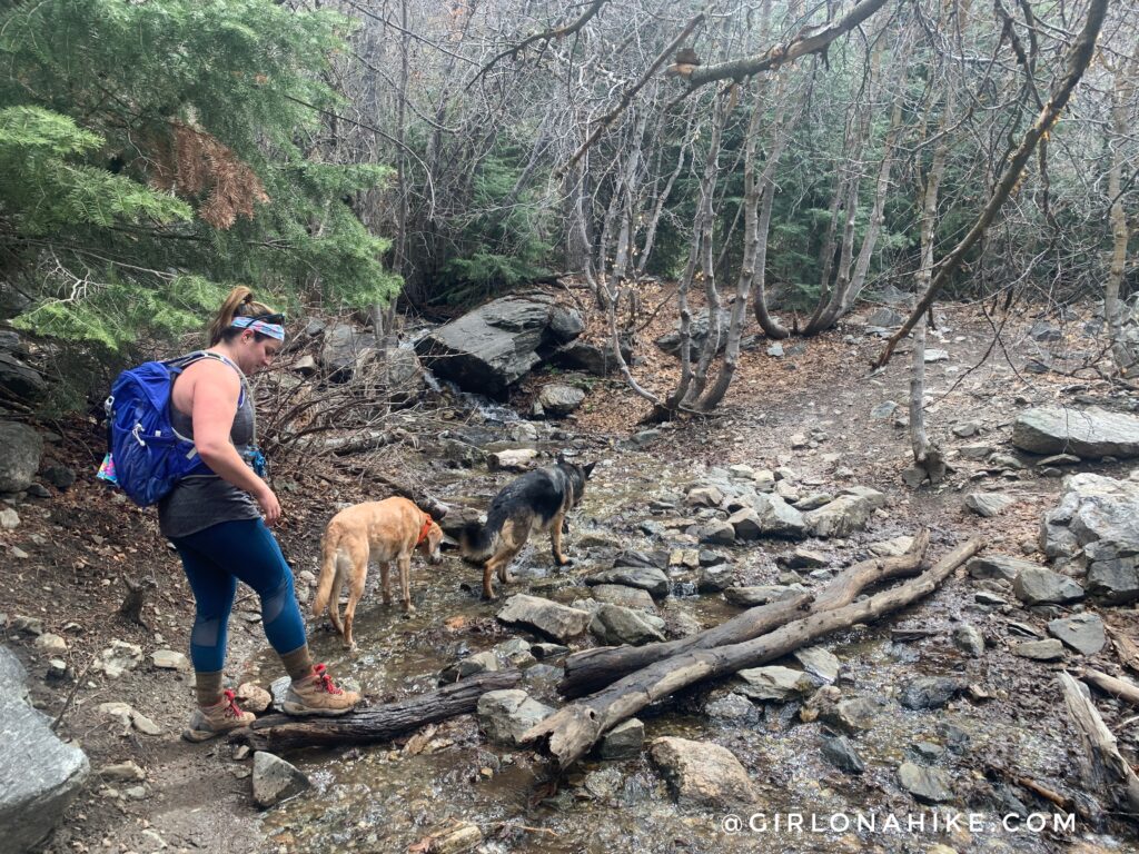
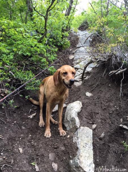
Along the way, you’ll spot wildflowers like tiny star-shaped blooms, and you’ll cross three small streams. These crossings are typically manageable, though some rock-hopping may be required.
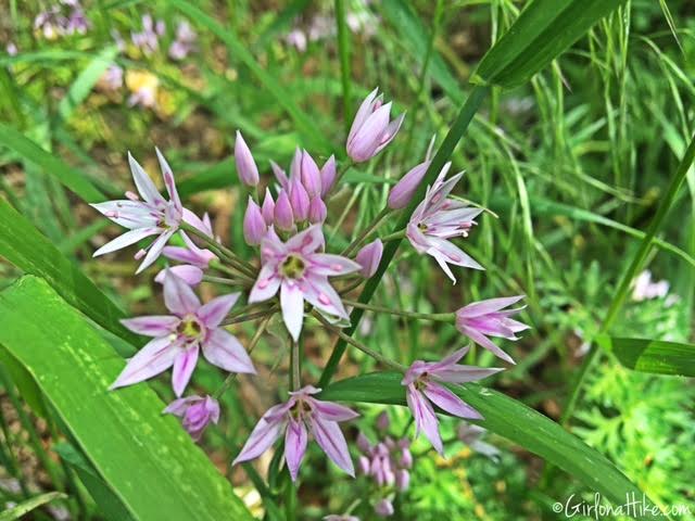
Star shaped flowers were everywhere!
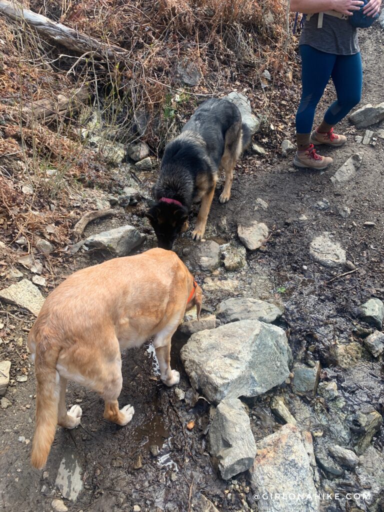
1st stream crossing.
2nd stream crossing. Thankfully the water was low enough we could rock hop to the other side.
![]()
There is also a really small waterfall at this section to the left.
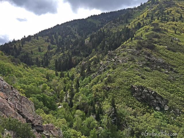
Farmington Canyon
Historical Landmarks
Watch for three old cars along the trail—remnants from a time when the road above was less stable. These unique sights make for great photo ops and talking points.
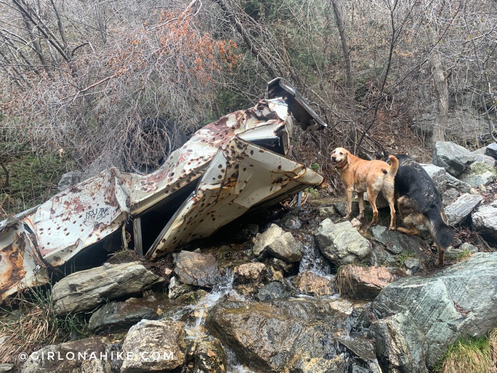
We first went left to check out the last old car we found. Charlie inspects the car for us.
After the 3rd stream crossing, continue following the trail to the right,
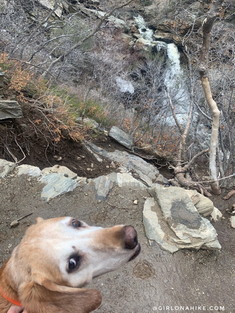
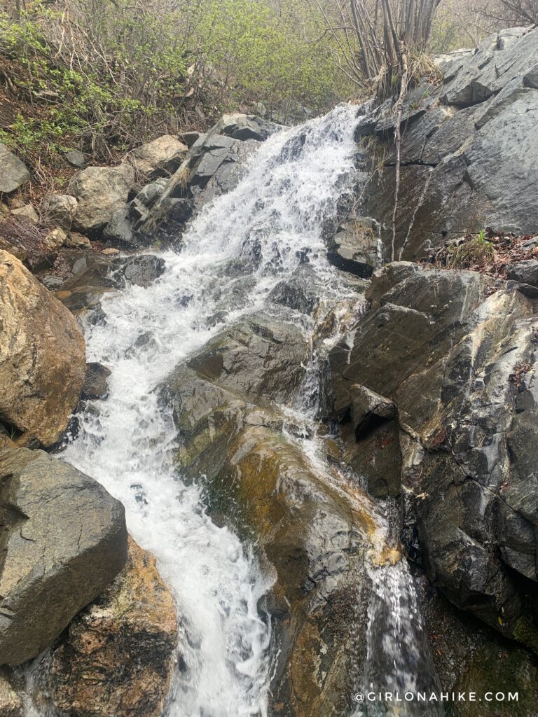
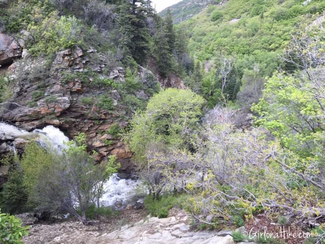
Reaching the Waterfall
After the third stream crossing, you’ll come very small trail split with the right side descending a few tiny switchbacks to the base of the waterfall.
Hiking down we went really slow so as to not slip on the wet rocks and mud.
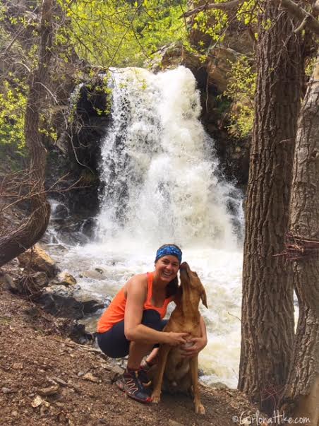
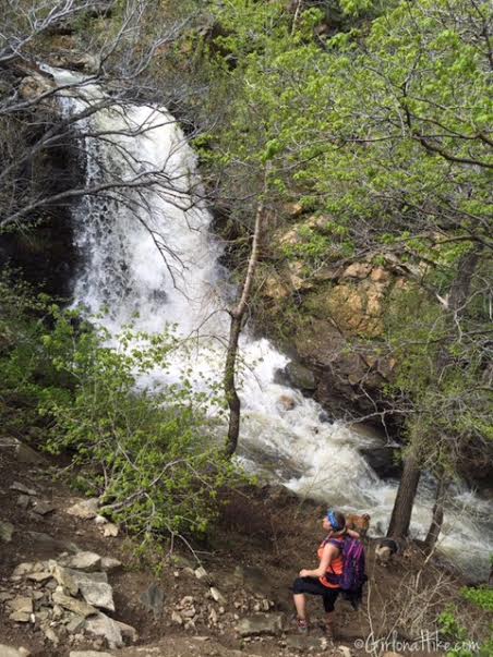
At the bottom, you’ll feel the spray from the powerful 40-foot waterfall—especially after a big winter.
Charlie turned around to make sure I was hiking back up behind him. He’s a very considerate furry child! You can see that there used to be a rope to help hikers up and down a drop off.
Working my way back up the steep drop off.
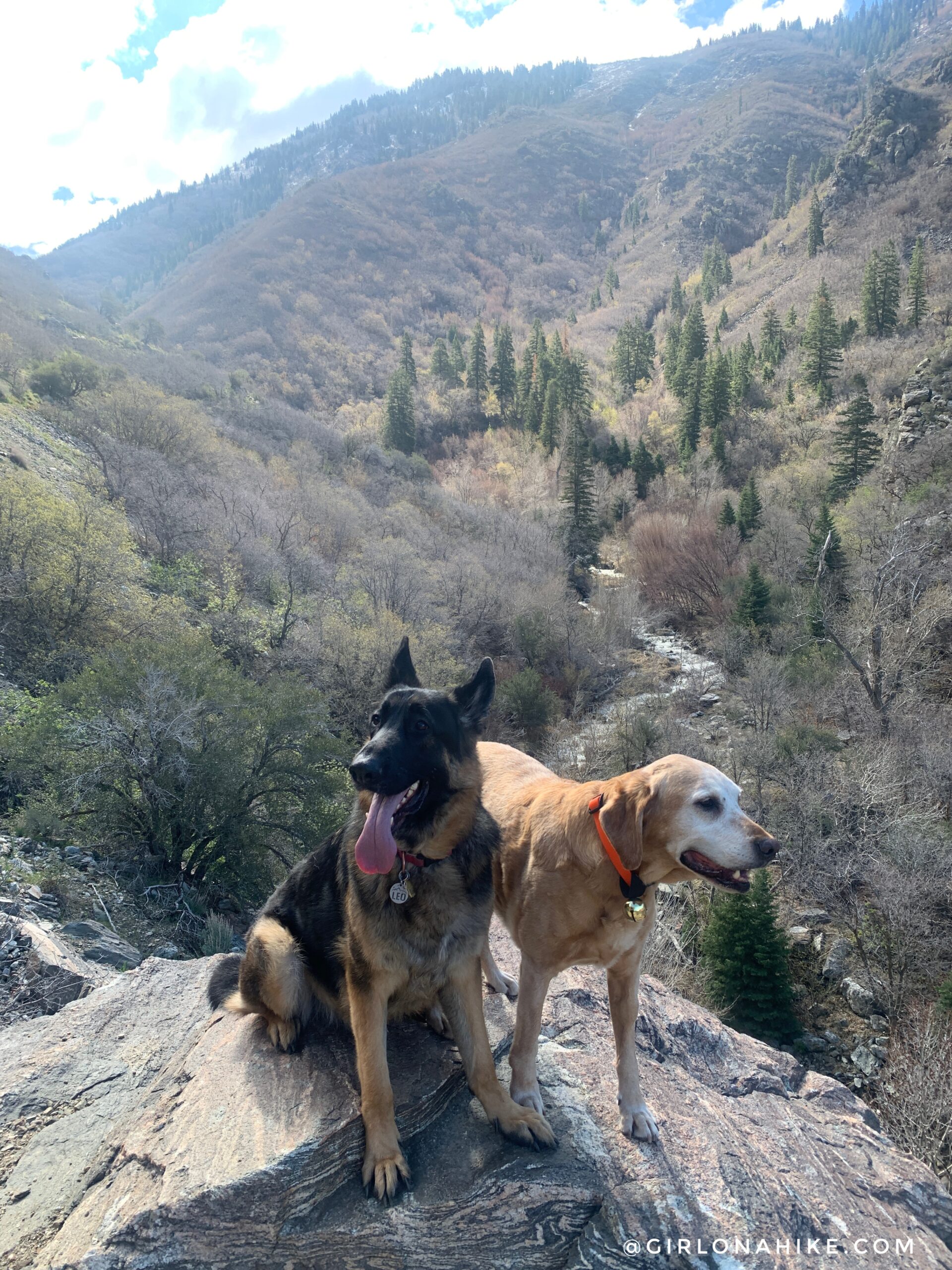
Continuing along the trail, we got to the top of the falls.
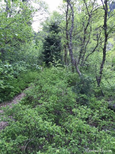
Beyond the Falls to Sunset Campground
The trail continues steeply for another 0.3 miles to Sunset Campground. It’s less traveled but still easy to follow. Look for a great backpacking campsite on the right before you reach the campground.
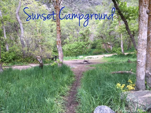
What You’ll Find at Sunset Campground
Once you arrive, enjoy the picnic tables and—if you’re lucky—an open porta-potty. The campground features 10 sites.
Hiking the Trail in Winter
Farmington Canyon Trail is also a great snowshoe hike. You’ll enjoy a quiet trail, frozen waterfalls, and crisp mountain air.
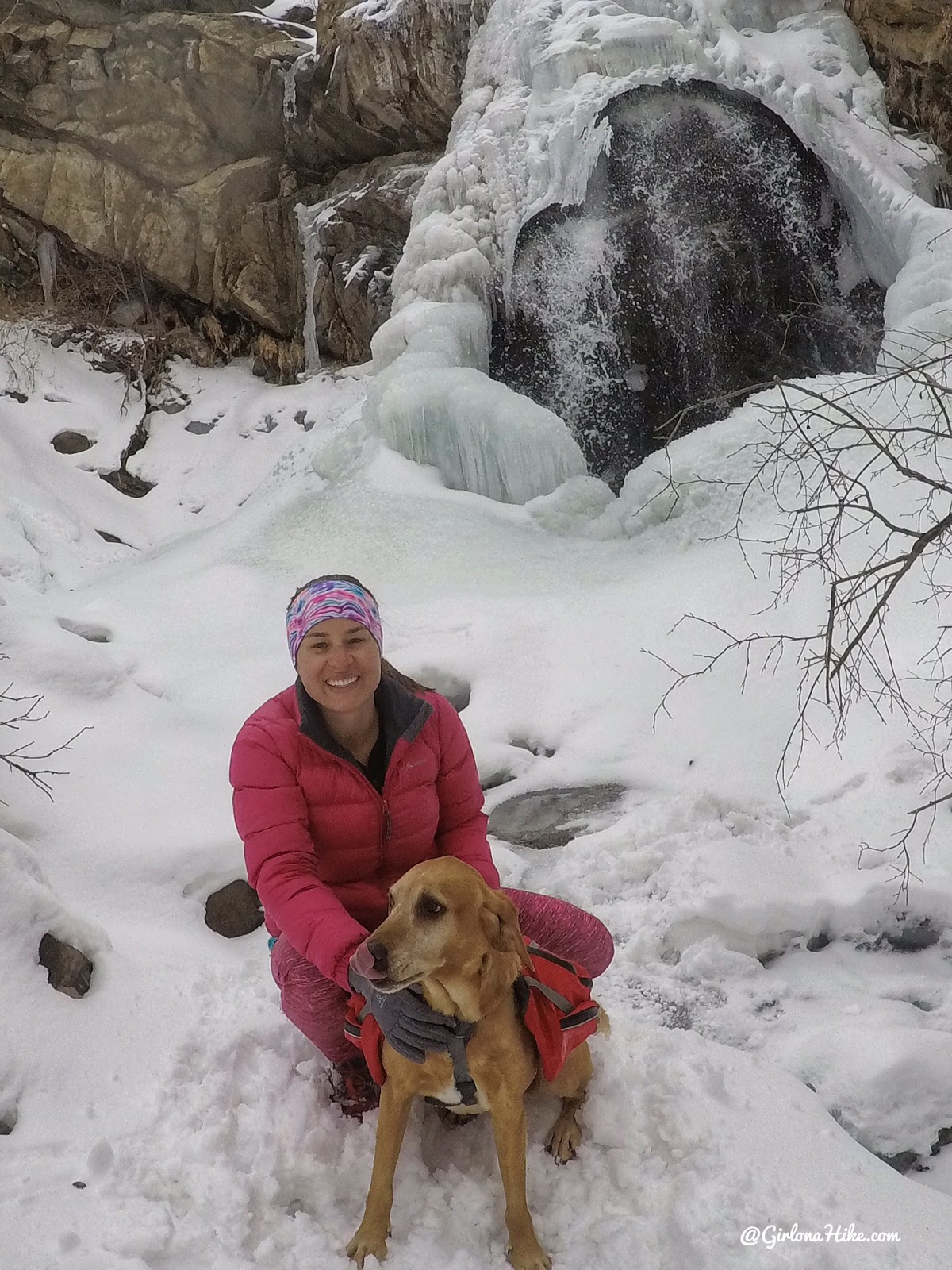
It was fun to see the waterfall frozen!
April 2019
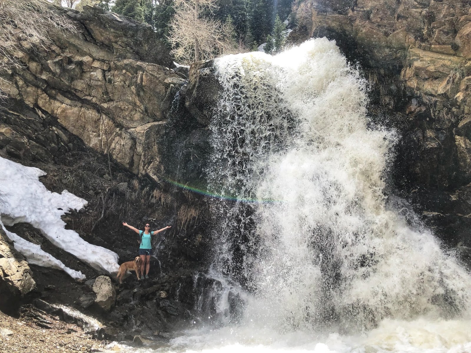
We had an amazing winter so the falls were raging!!!
Trail Map
Nearby Hike

Save me on Pinterest!