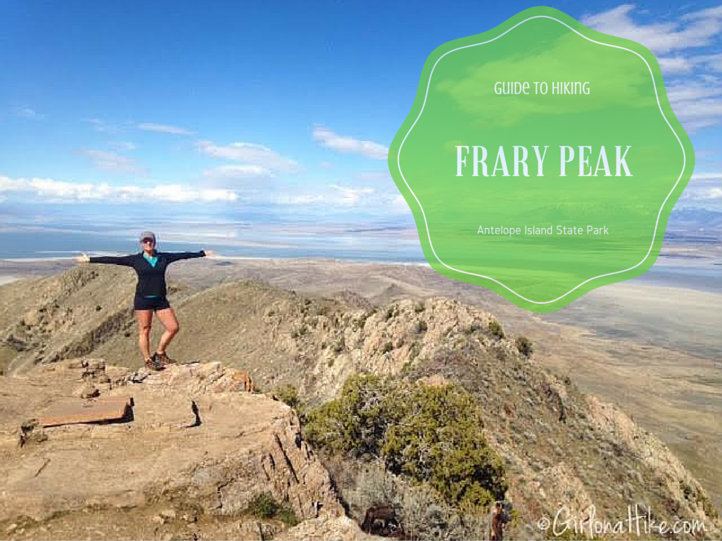
Hiking Frary Peak – The Highest Point on Antelope Island
Frary Peak (6,596 ft) is the highest point on Antelope Island State Park, located in the Great Salt Lake of northern Utah. This stunning hike offers panoramic 360° views of the lake, the Wasatch Mountains, and surrounding valley cities. It’s one of the most rewarding summit hikes close to Salt Lake City and a must-do for outdoor enthusiasts visiting the island.
When to Hike Frary Peak
The best time to hike Frary Peak is during the cooler months (November through March) when biting horseflies and no-see-ums are dormant. From spring through fall, the bugs can be intense—bring a head net if hiking after March.
Despite the insects, spring and fall offer pleasant temperatures and clear skies for excellent views of the Great Salt Lake, Wasatch Front, and even distant peaks on a clear day.
Wildlife & Scenery
One of the highlights of this hike is the chance to see free-roaming bison, pronghorn antelope, mule deer, and various small mammals along the trail. The island is also a haven for birdwatchers—millions of migratory birds stop along the lake’s shores, including avocets, pelicans, and gulls.
More to Explore on Antelope Island
Besides hiking, Antelope Island State Park is popular for cycling, trail running, and birdwatching. Several races and endurance events are hosted on the island each year.
Don’t miss a visit to the Fielding Garr Ranch, located at the southern end of the island. It’s significant for two reasons:
It is the oldest continuously inhabited Anglo home in Utah.
It’s also the oldest Anglo-built home still on its original foundation in the state.
The island itself is part of the Basin and Range Province, which stretches from the Wasatch Mountains in the east to the Sierra Nevada in the west. Antelope Island covers 28,000 acres, is 15 miles long, and about 5 miles wide at its broadest point.
What’s That Smell?
If you’re crossing the Antelope Island Causeway and notice a strong rotten-egg odor, don’t worry—it’s temporary. The Great Salt Lake contains halophilic (salt-loving) bacteria that produce hydrogen sulfide, which causes the smell. Once you reach the island, the odor usually disappears.
Trail & Visitor Tips
Entrance Fee: $15 per vehicle (as of 2025)
Restrooms: Available at the Visitor Center and trailheads
Water: Bring plenty—there are no water sources on the trail
Sun Protection: Very little shade—wear a hat and sunscreen
No Dogs: Pets are not allowed on the Frary Peak Trail
Trail Info
Distance: 7.2 miles RT
Elevation gain: 2,015 ft
Time: 3-4 hours
Dog friendly? Yes, on leash
Kid friendly? No
Fees? $10 entrance fee per car
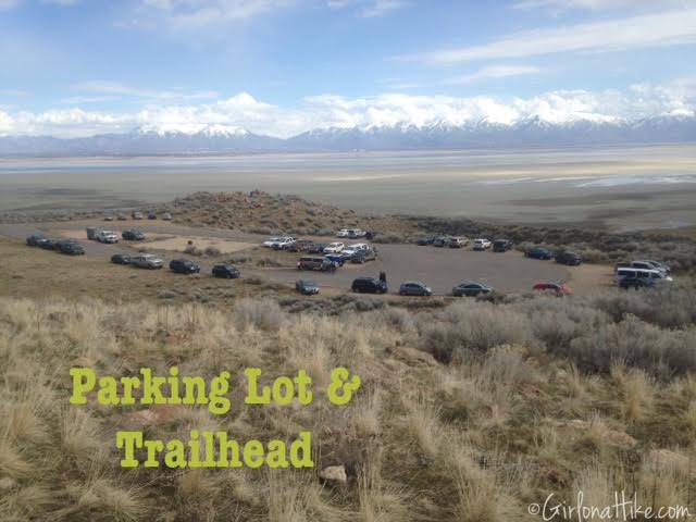
Directions
From SLC head north on I-15, and take exit 332 for Antelope Drive. Drive across the causeway, and at your first road split, veer left. Turn left again following the signs for Frary Peak Trail.
Hiking Frary Peak: What to Expect
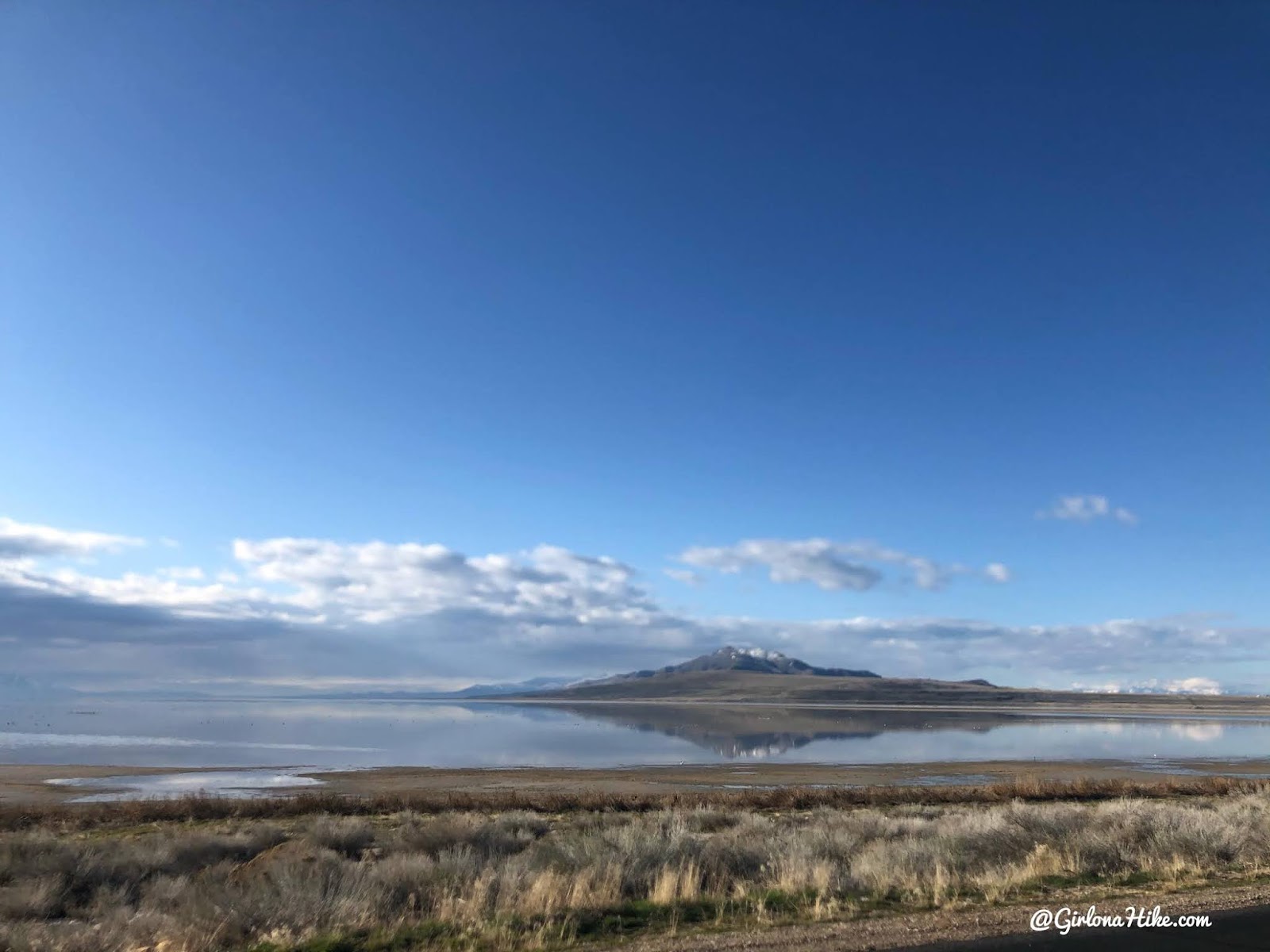
Frary Peak, seen from the Causeway.
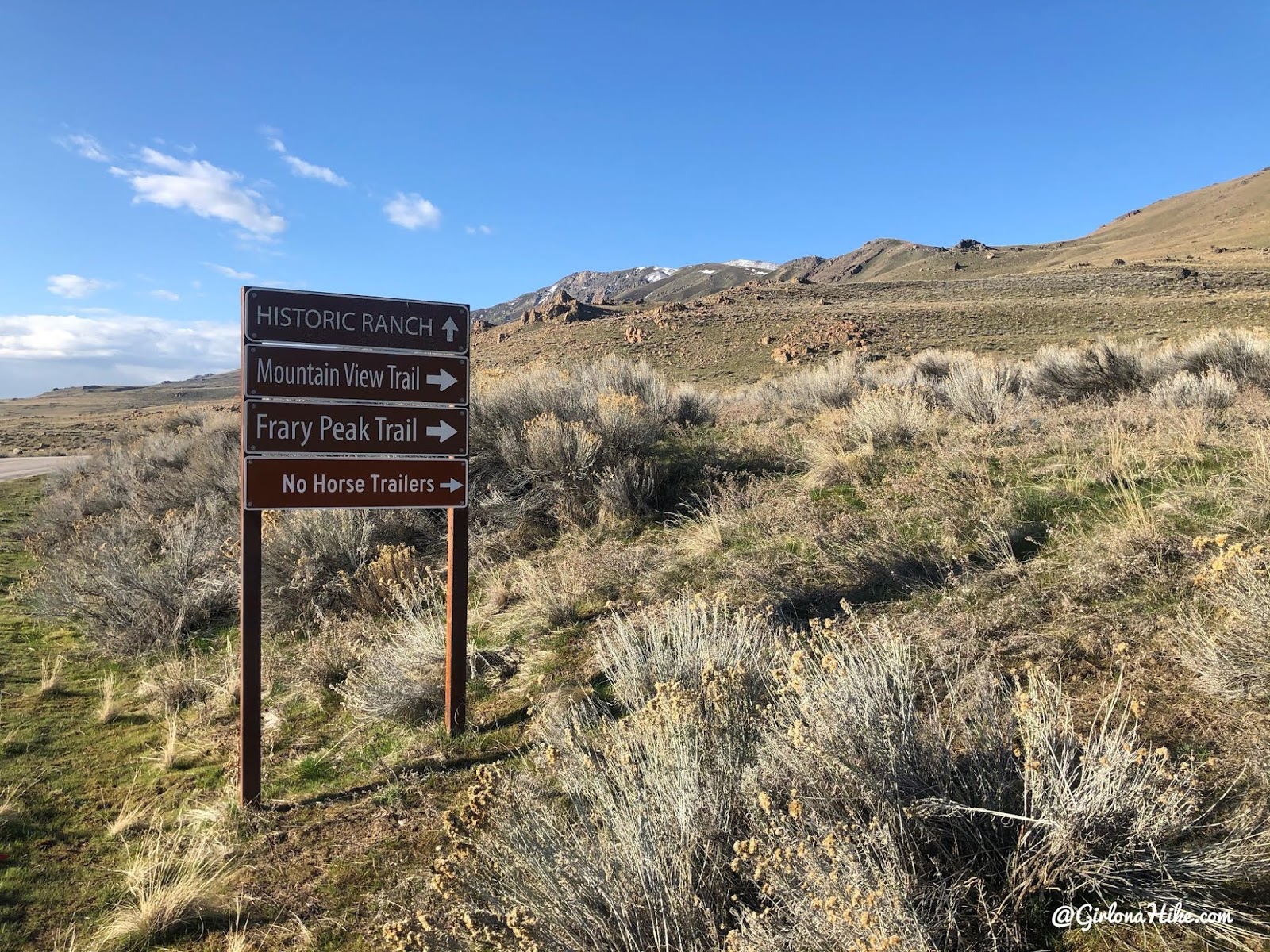
Follow the signs for Frary Peak Trail.
Official Trailhead
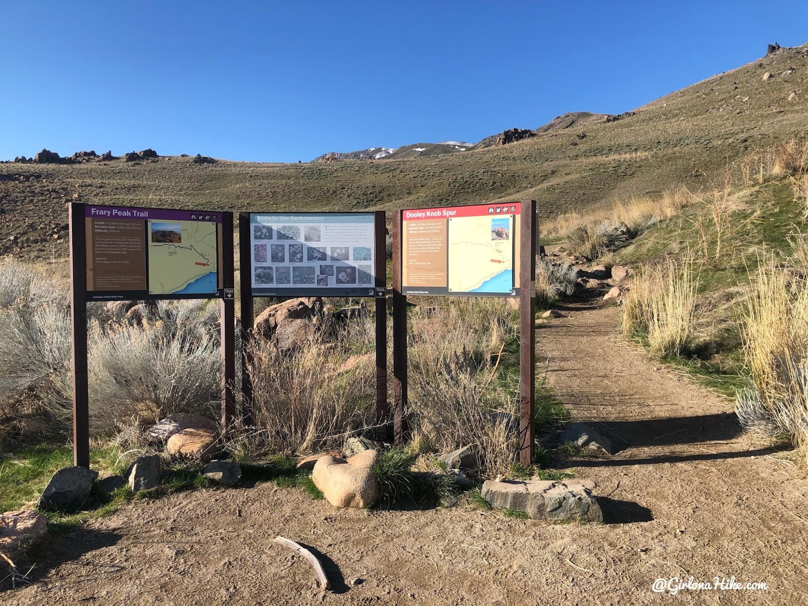
Frary Peak Trailhead
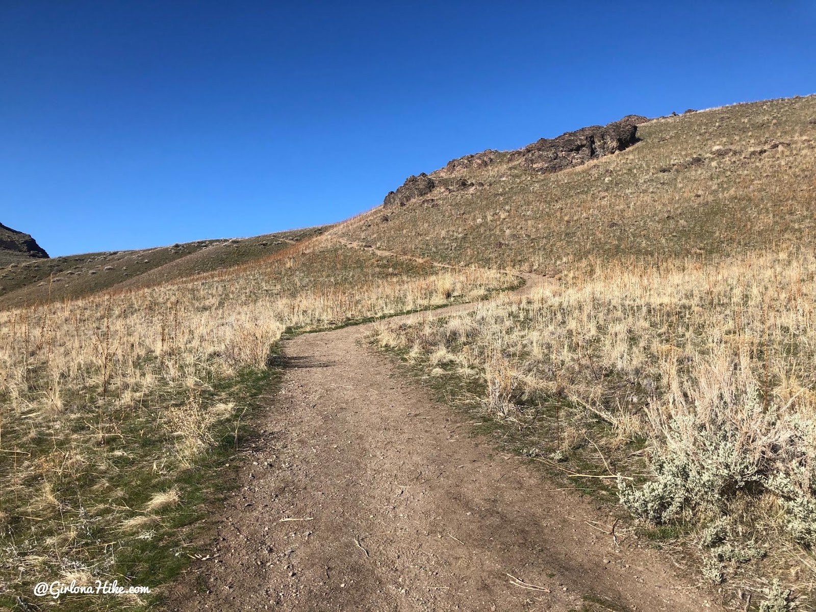
The trail begins steeply, working it’s way up for about the first mile.
You’ll notice that the whole island does not have any shade nor water. Be prepared to carry a minimum of 3 L of water per person, and wear and hat and bring sunblock.
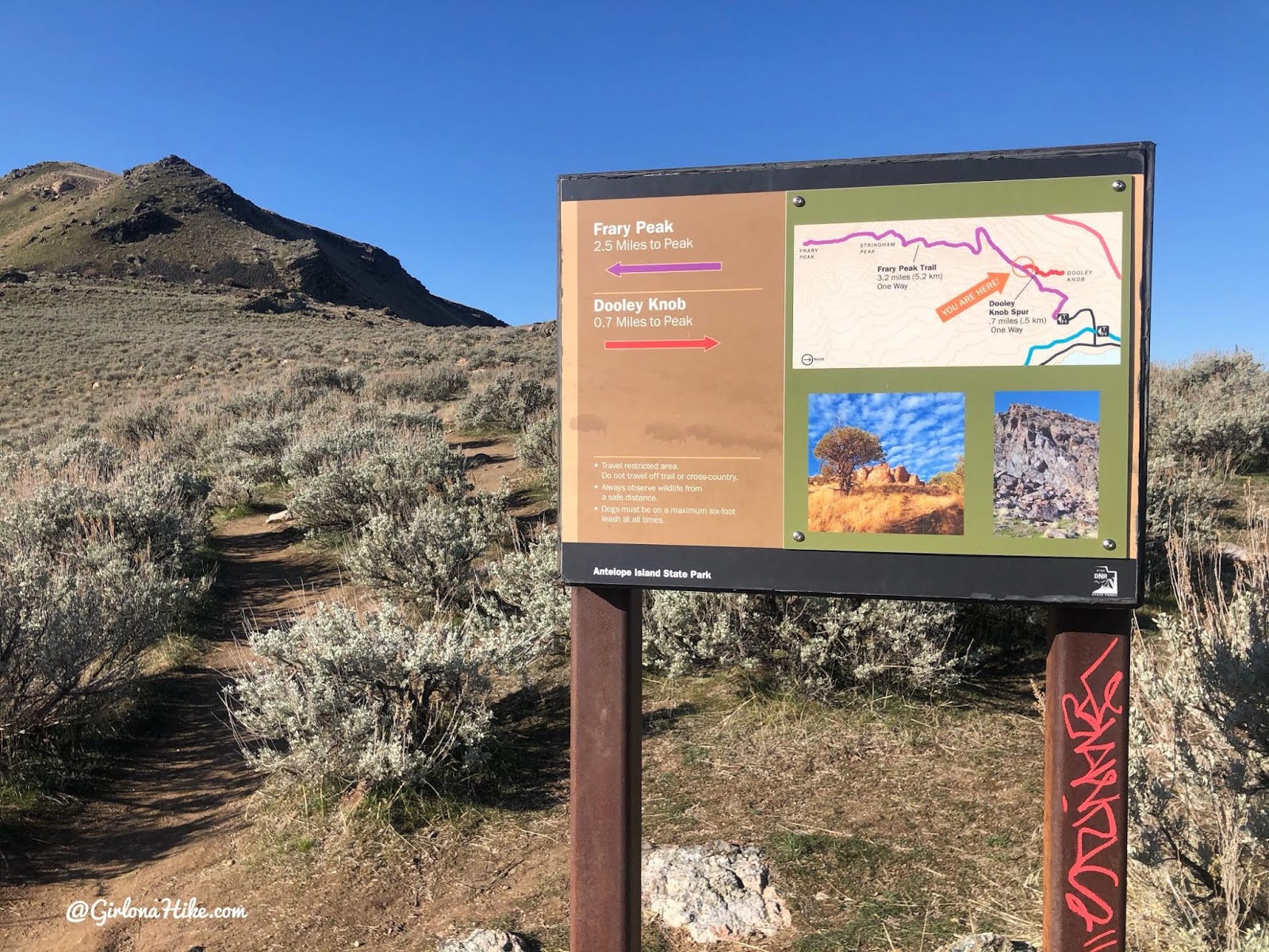
At 0.7 miles stay left at the trail split. Going right takes you to Dooley Knob.
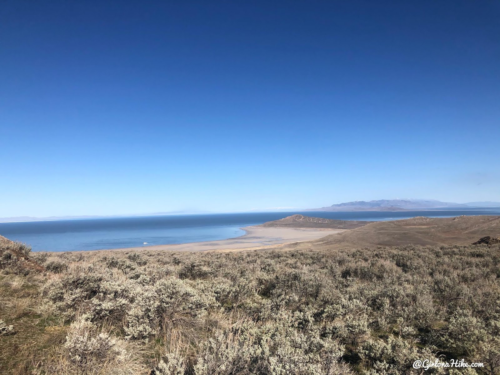
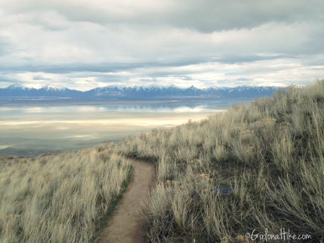
First view of the Great Salt Lake to the West.
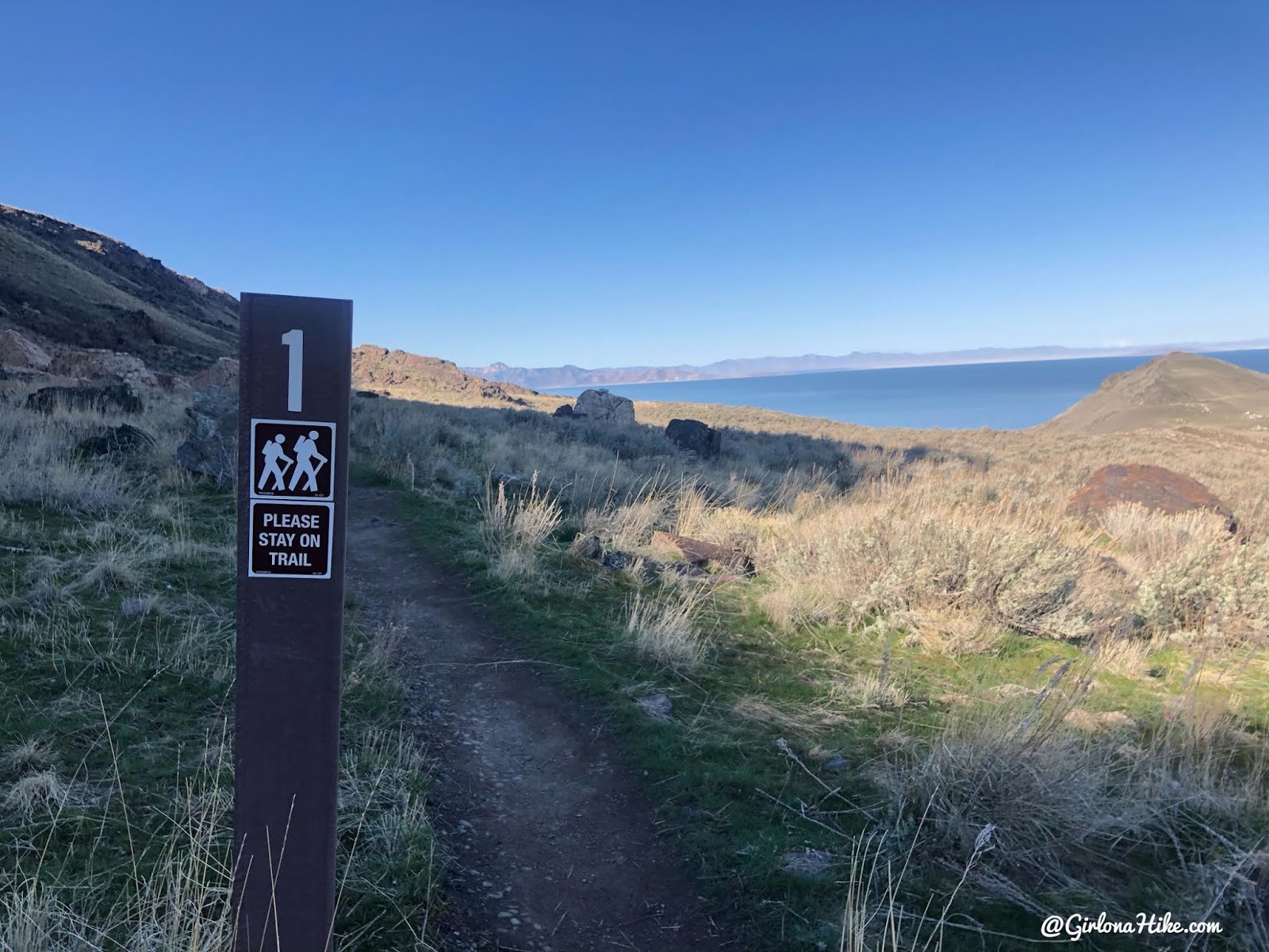
The trail is marked every 1/2 mile with a brown mileage sign.
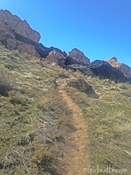
The trail cuts through this large rock area, with the trail going into it, then coming out the other side.
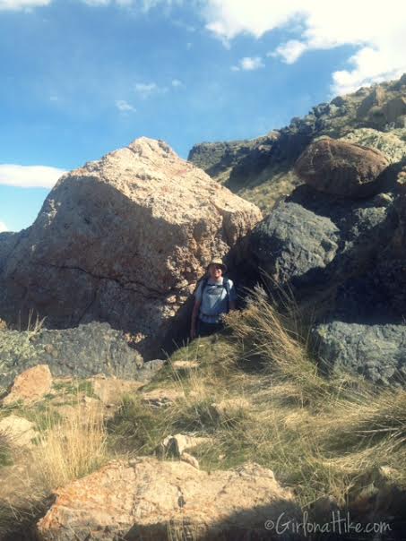
My friend Dave poses after coming out of the rock outcropping.
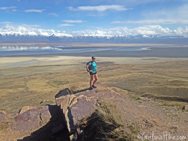
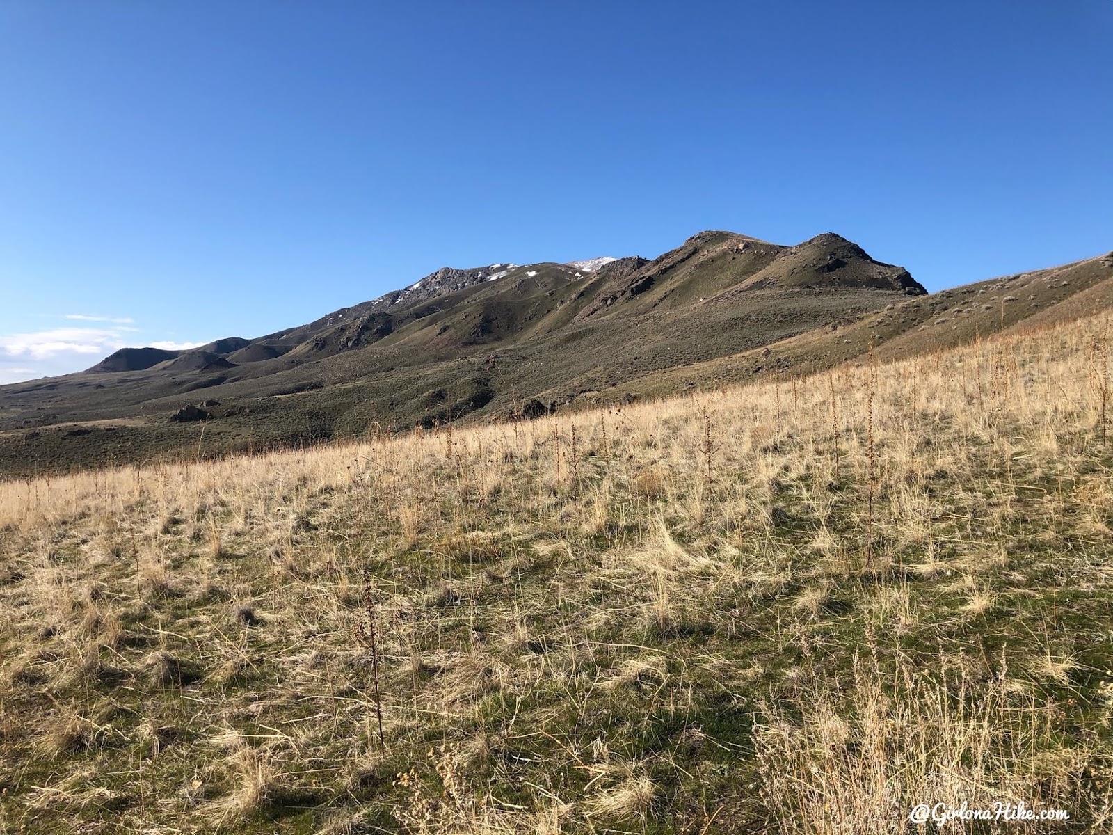
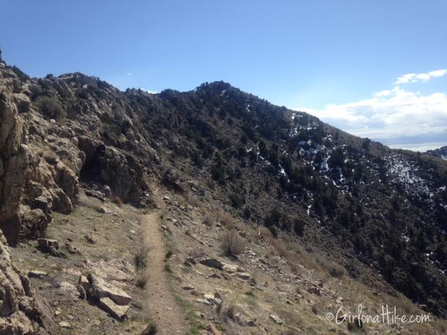
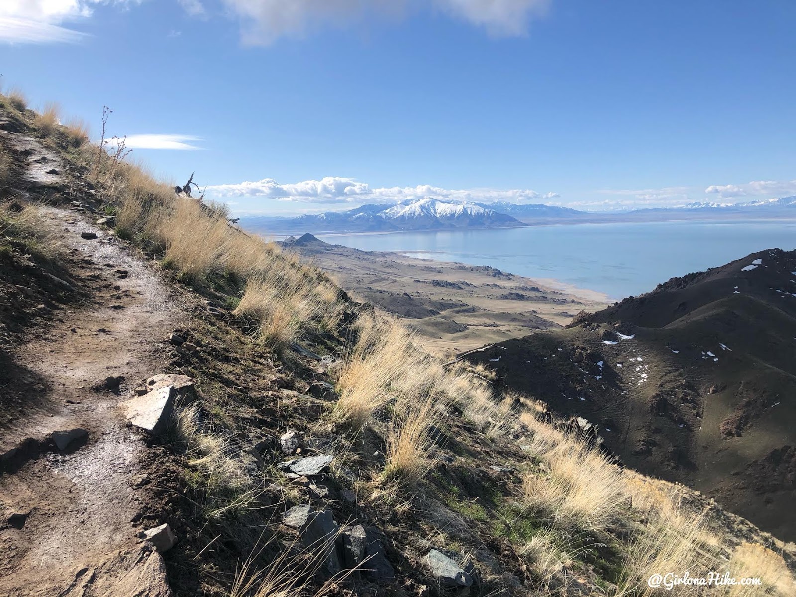
Working your way up the mountain, there are several overlooks for photo opportunities. This is one of the first overlooks. I just love seeing the Wasatch mountains from a distance with the snow covered peaks!
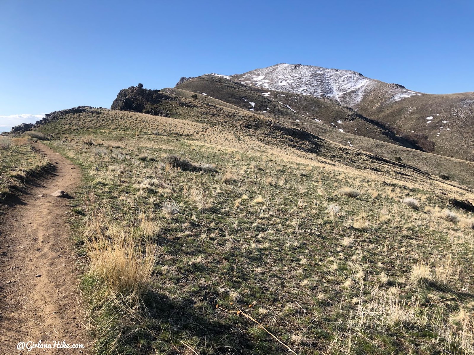
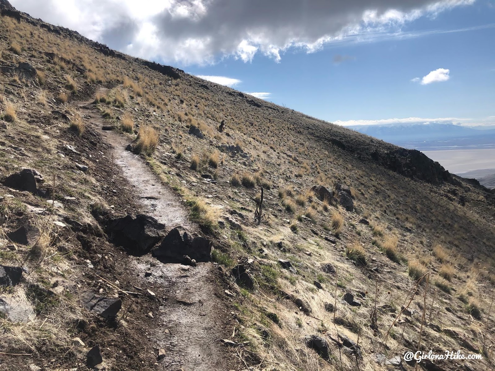
The trail stays close the ridge, but more on the West side.
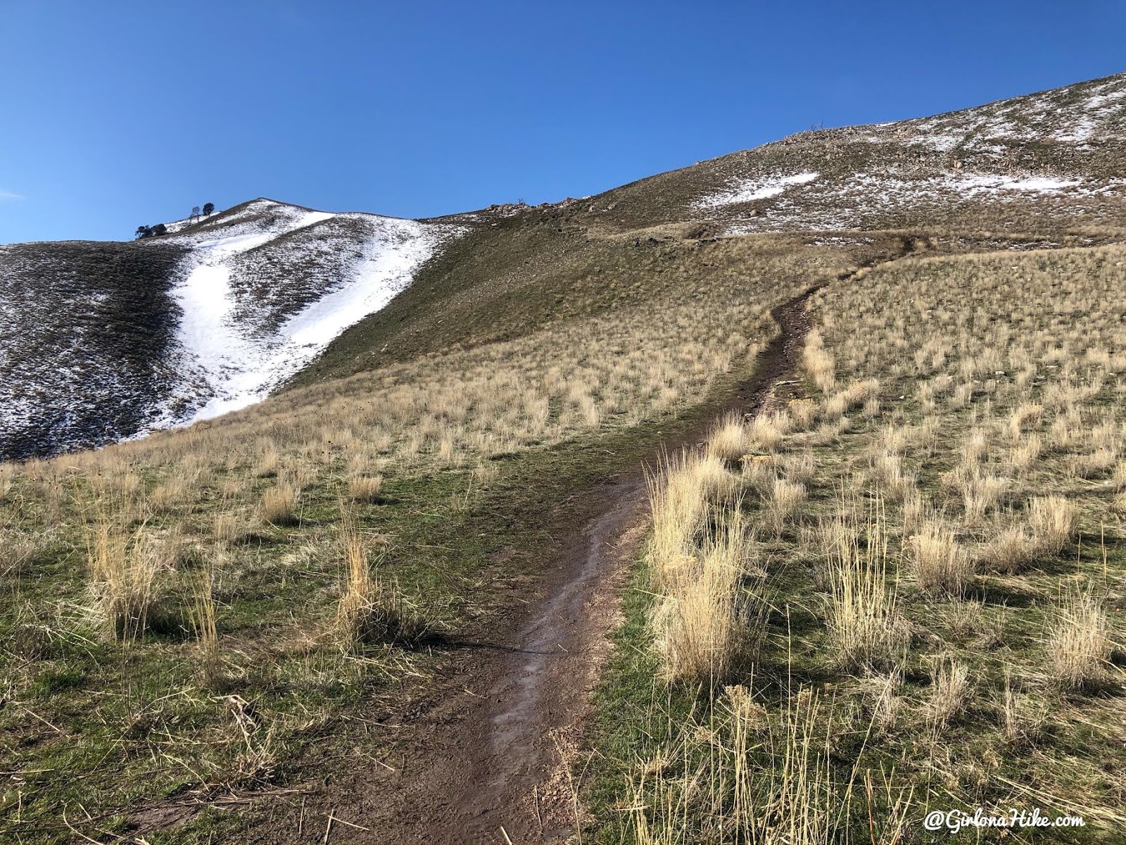
Getting closer – in Spring this trail can still be muddy especially after recent rains or snow melt.
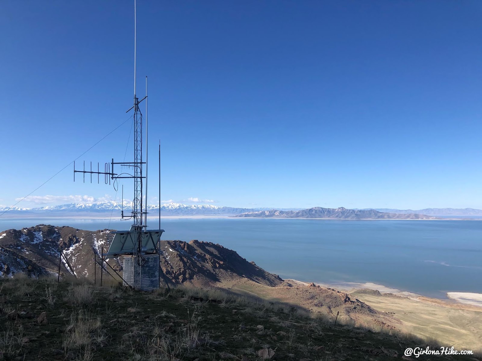
Reach the tower.
Ridge & Trail Split
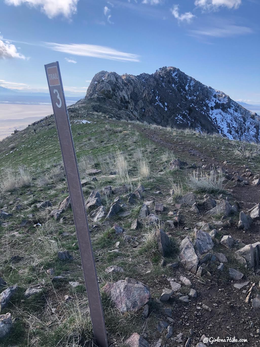
Once you reach the weather tower and mile 3, you have two options for reaching the peak. My recommendation is to head right, down the more popular route, and up to the peak. It gets very steep in parts, but I prefer hiking up steep trails rather than hiking down steeply.
Once you are at the top, I like to come back along the ridge, hiking in a counter clock-wise direction. However, if you are feeling super adventurous you can hike up and down the ridge.
We started off going right, down the main trail.
The trail stays on the West slope of the peak, eventually wrapping around the South side of the peak.
Hike up two small switchbacks.
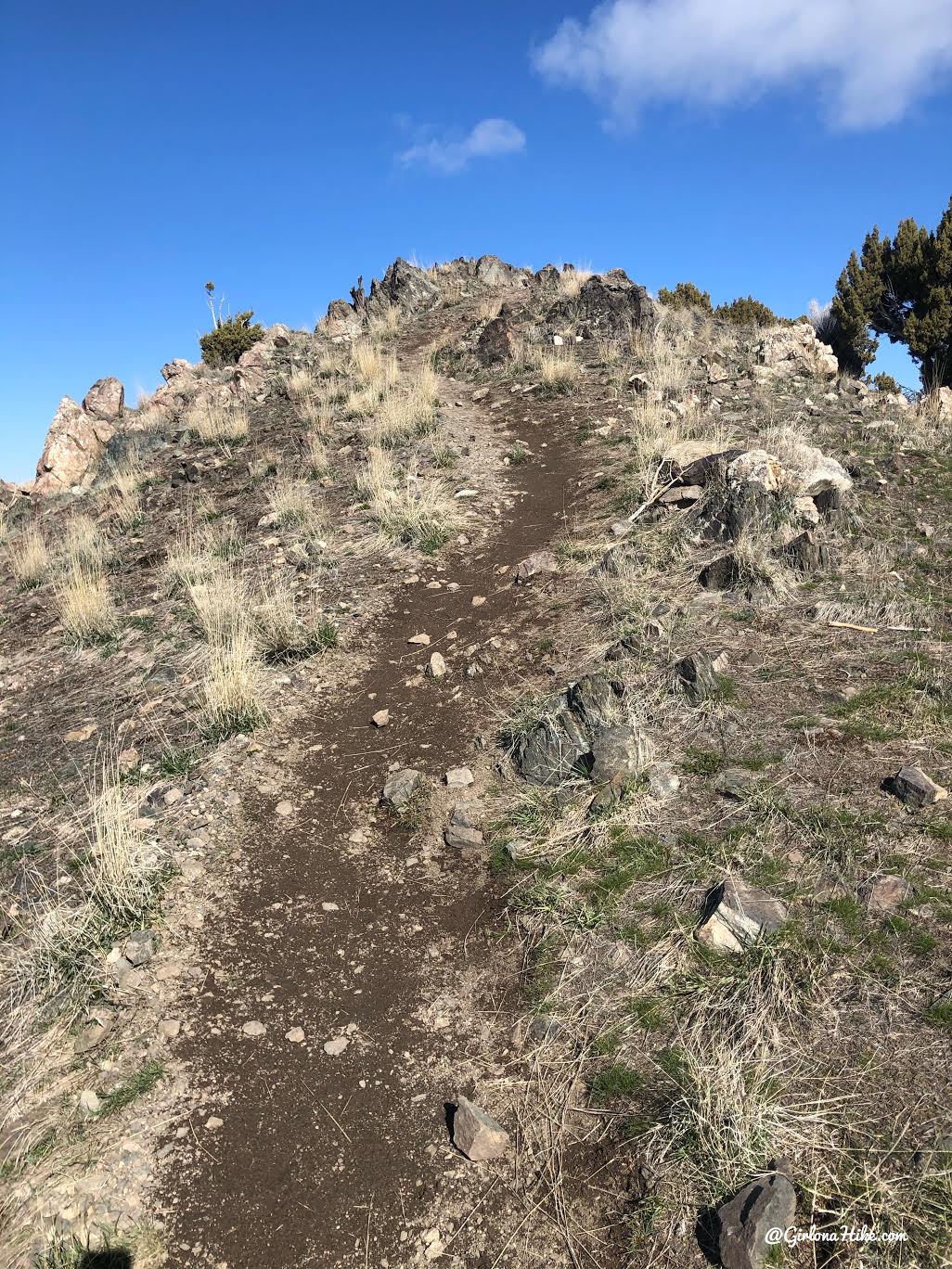
Last push to the summit!
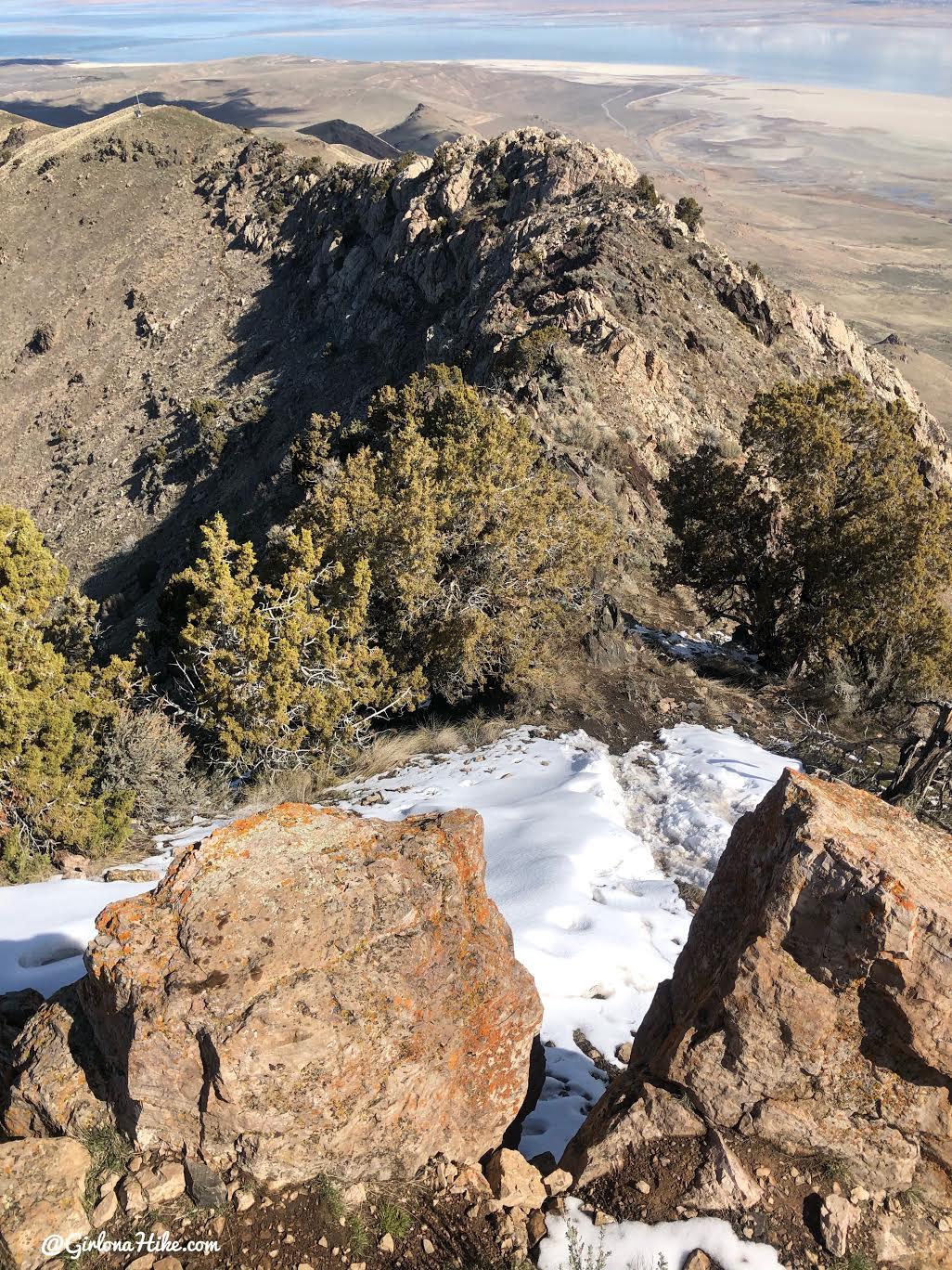
Looking down the ridge, how I would go back down.
Frary Peak Summit
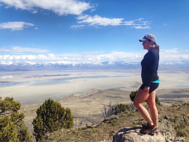
Finally on the summit!
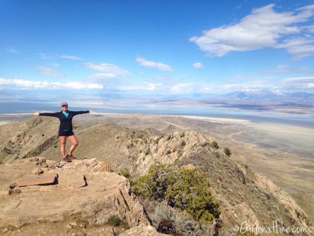
Taking in the whole view!
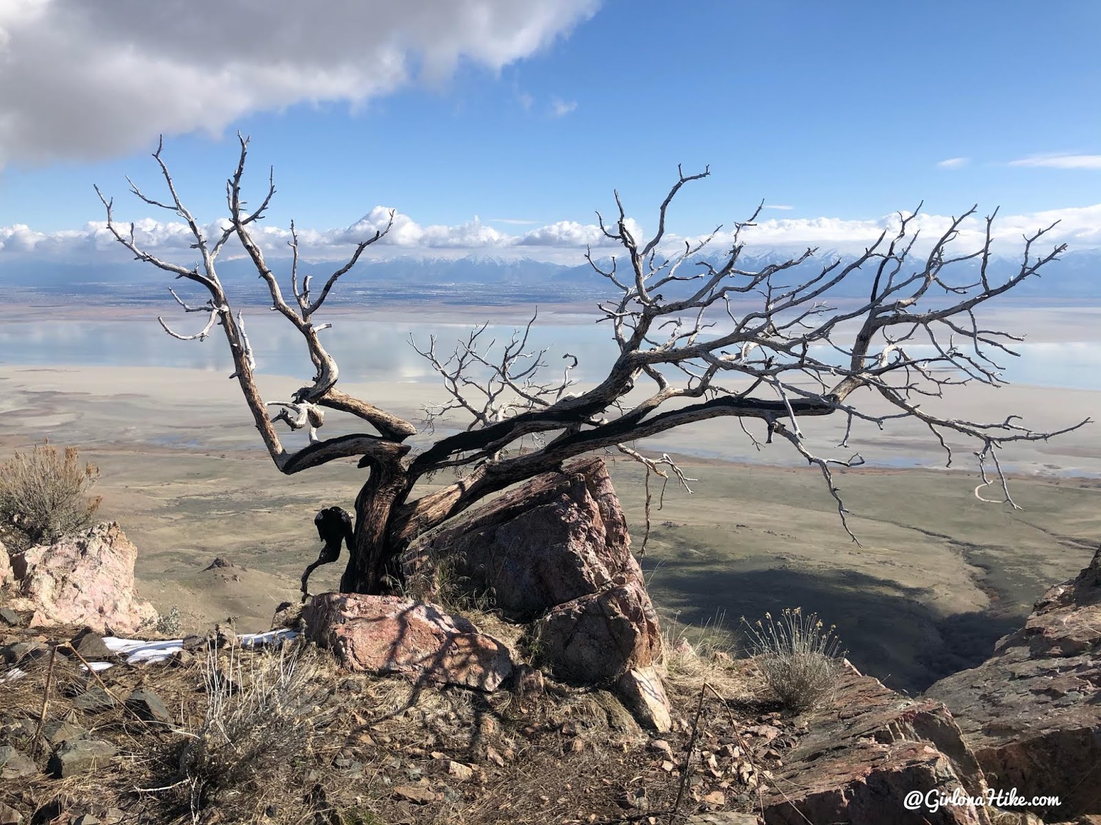
On the way down, I took the ridge instead of the trail. It’s an easy ridge if you have experience. If you’ve never hiked along a ridge, then I wouldn’t take this route. This route is only fun for experienced hikers/climbers. Passing an old burned tree along the ridge.
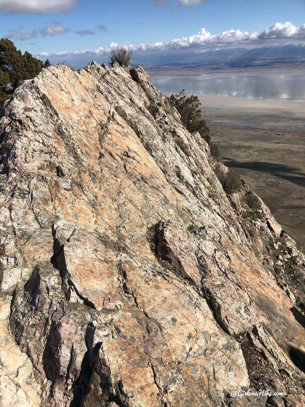
My favorite section of the ridge scramble. Be careful as several areas require scrambling and there are big cliffs. If you are careful, and do a little route finding, you’ll never have to jump or need assistance from a friend. I was able to get down on my own.
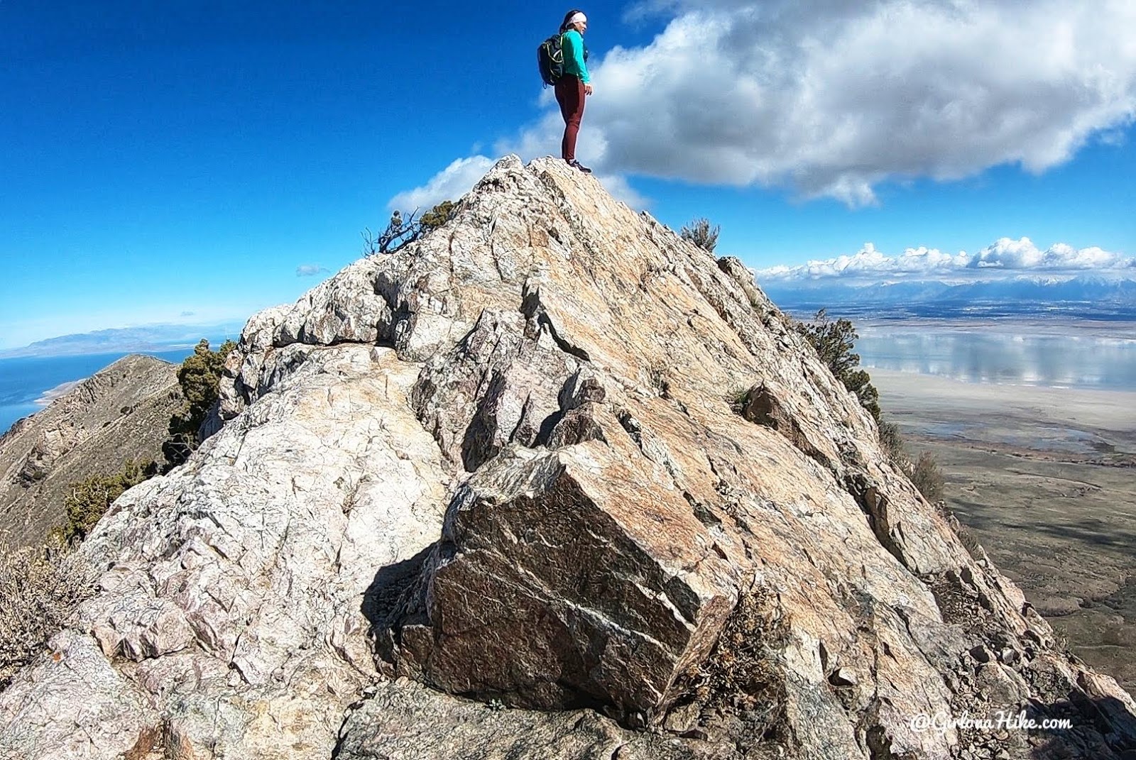
Love hiking on ridges!
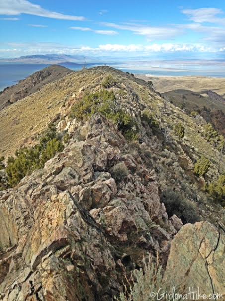
Almost done with hiking along the ridge.
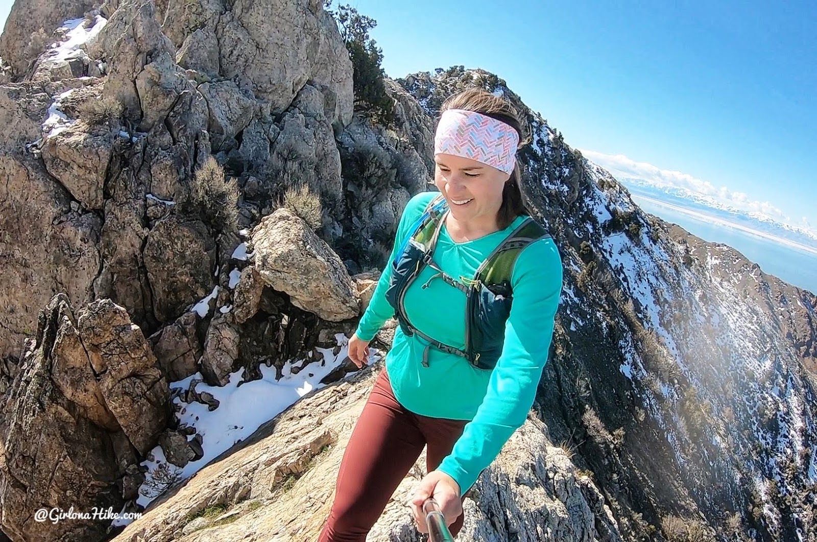
When I hike down this ridge, everything goes inside my pack including sunglasses. In the past I’ve had stuff fall out and there’s no way to get down to it. Keep your stuff secure on the climbs.
Work your way down the same way you hiked up.
Check out my video & Subscribe!
Trail Map
My track via Gaia GPS – the best tracking app! Get your app here for a discount.
Recommended Hikes
The Top 10 Peaks to Bag in SLC!v


Save me on Pinterest!