Hiking to Ensign Peak offers unparalleled views of the Great Salt Lake as well as the Wasatch Mountains, and Salt Lake County.
About
Ensign Peak is one of the most accessible and family-friendly hikes in Salt Lake City. Whether you’re planning a fun date night, a sunset adventure, or introducing kids to hiking, this trail is ideal. The city lights at night provide a stunning panorama of the valley, all achievable with minimal effort. Regardless of age or hiking experience, this short but sweet trail and overlook are sure to impress.
Historical Significance
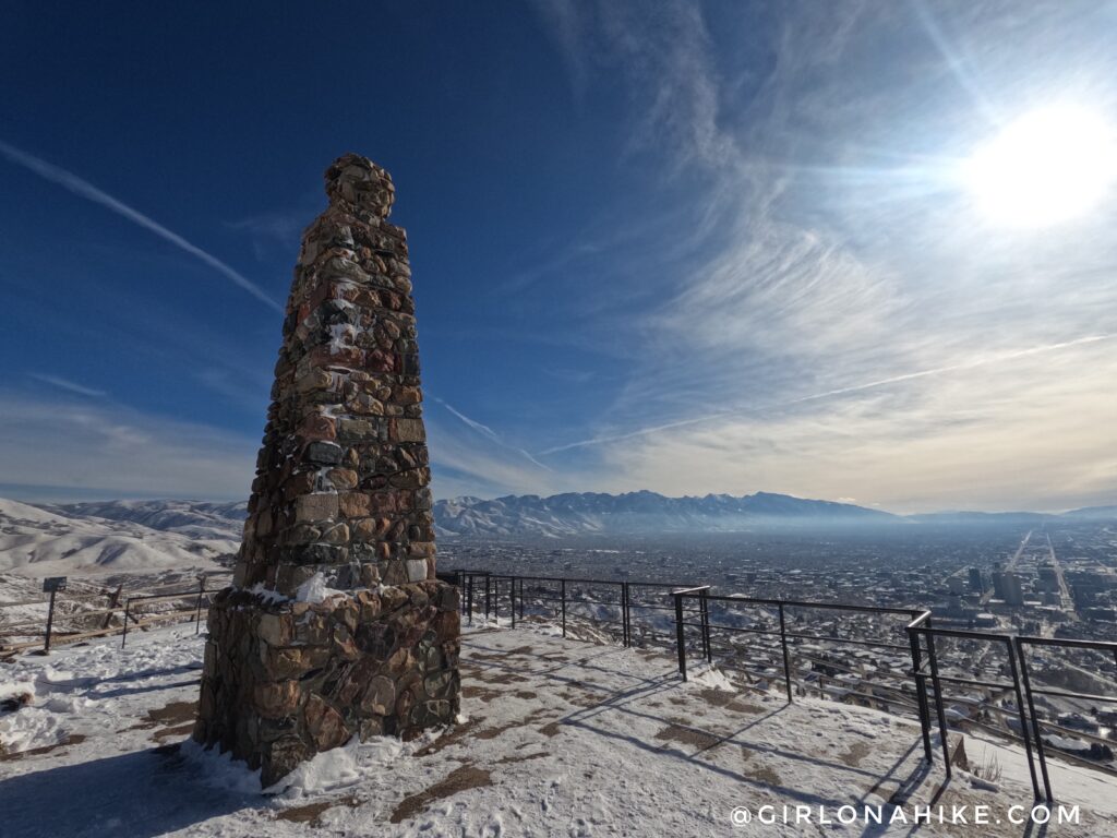
Legend has it that Brigham Young and his pioneer entourage ascended Ensign Peak upon arriving in the Salt Lake Valley. From the summit, they surveyed the mountain peaks to the east and the Great Salt Lake to the west, deciding they had found “the promised land.” The monument at the peak is dedicated to them and holds significant importance for members of the LDS Church.
Monument Details
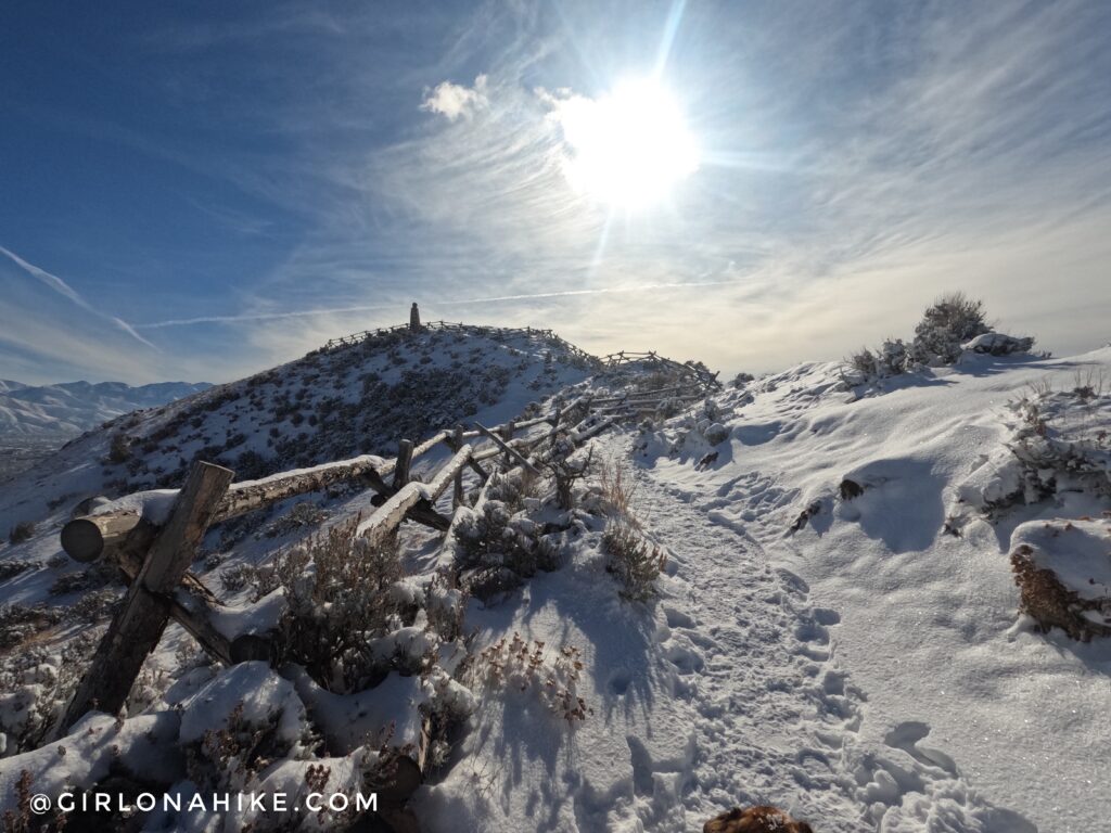
In 1934, an 18-foot monument was erected by the Salt Lake Ensign Stake Mutual Improvement Associations. This monument comprises stones collected from stakes along the Mormon Trail, with inscriptions of some stake names still visible today.
Directions
Drive North on State Street. and turn Right on 300 N, which turns into Capital Blvd. Turn left onto Edgecombe Drive. At the first stop sign, continue straight and you will see cars parked along the street and the staircase on the left. Here is a driving map. You can also just type into Google Maps “Ensign Peak Trailhead”.
Trail Info
Distance: 1 mile RT
Elevation Gain: 600 ft
Time: 30 minutes – 1 hour, depending on stay at the top
Dog friendly? Yes, on leash
Kid friendly? Yes

The trail begins with a set of stairs leading up and to the right, behind the informational sign.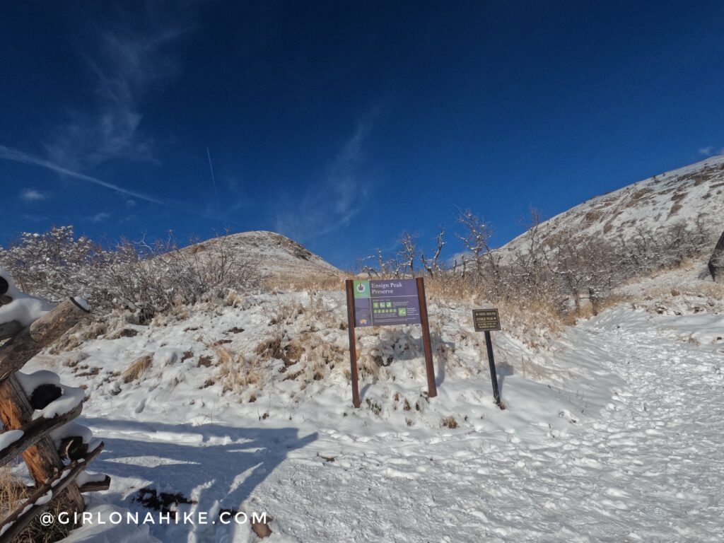
Initially, the path is paved for about 100 feet. You’ll pass a sign—stay straight/right here. Taking the left path leads to another smaller overlook, which is a great option if you’re short on time but still want impressive views. However, for the main trail, continue straight.
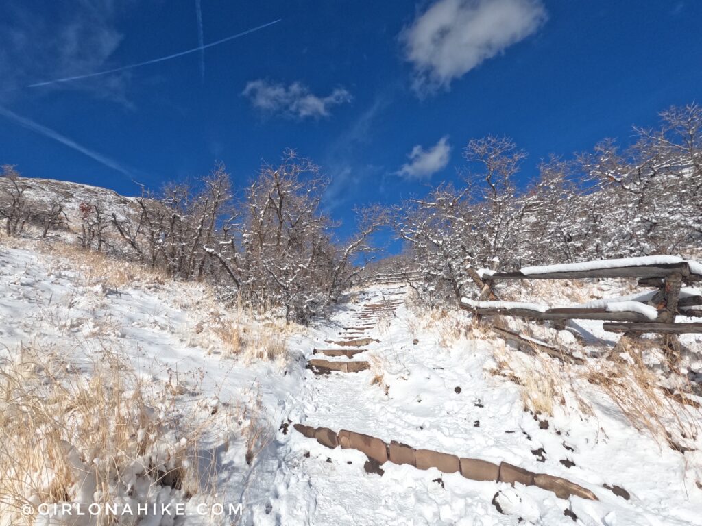
As you proceed, you’ll encounter a few stairs. The trail is notably wide due to heavy use, making it accessible for hikers of all levels.
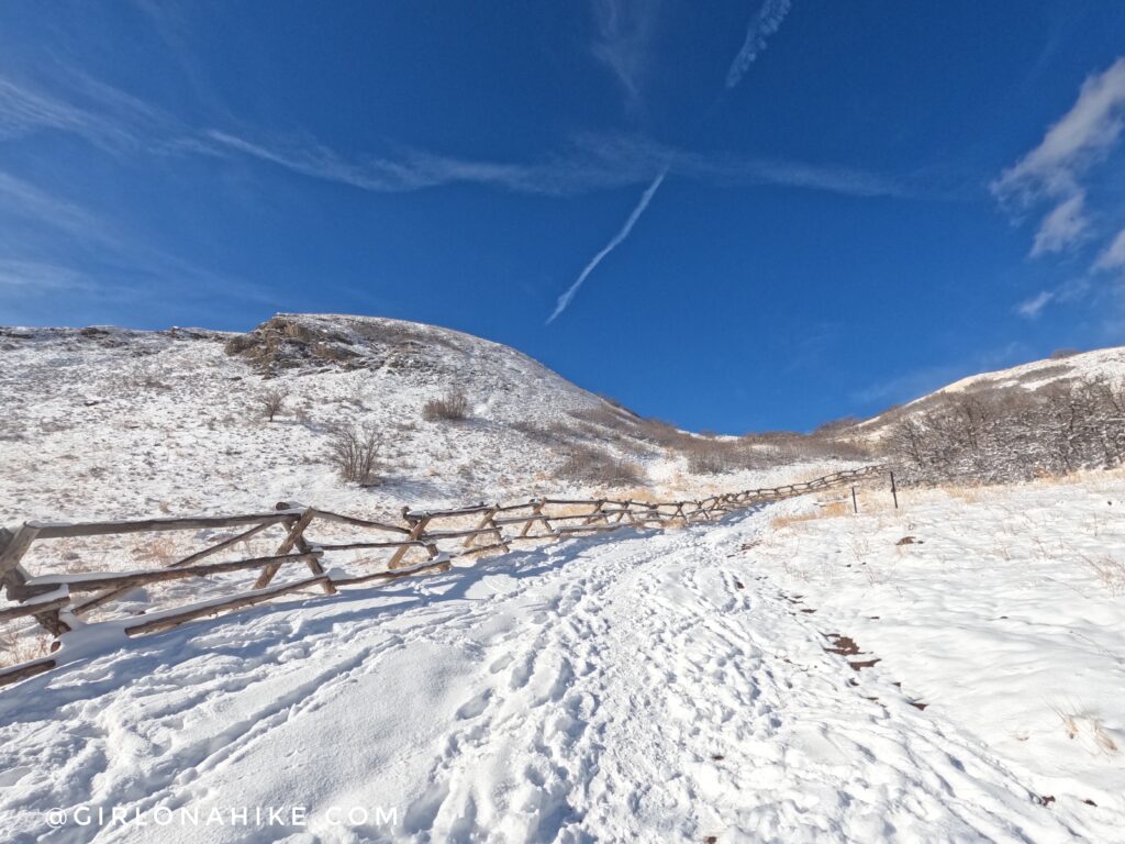
The trail is extremely wide from the heavy use.
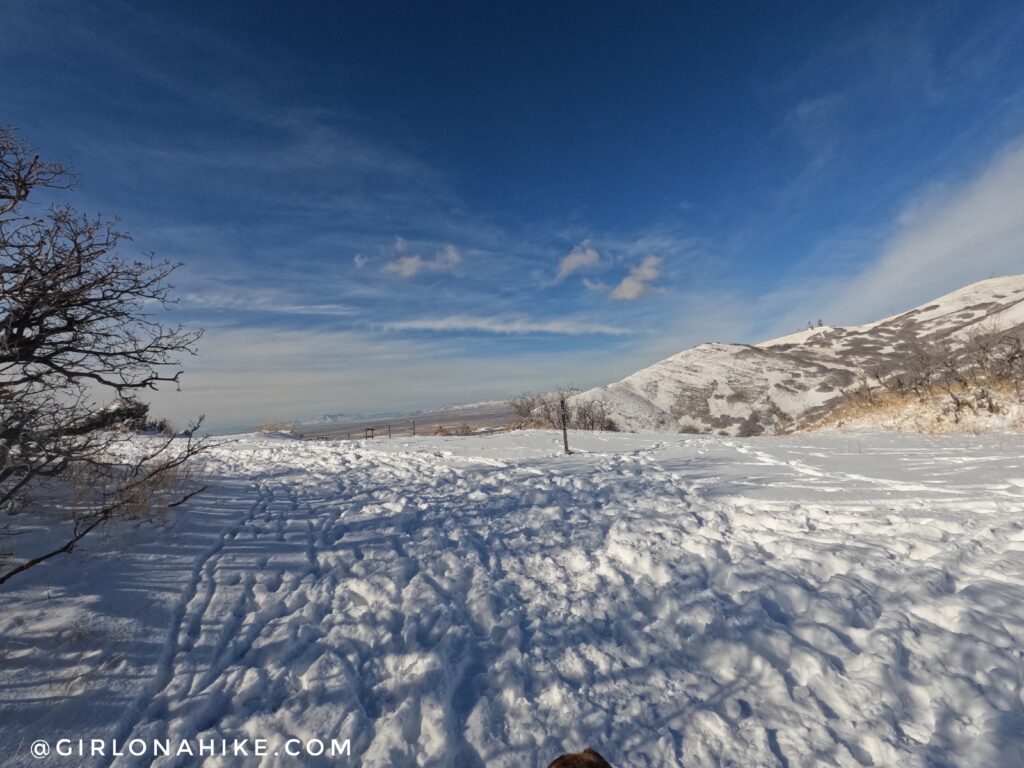
You’ll reach a small saddle offering your first panoramic views. At this point, stay left to continue toward the summit.
You’re almost there!
What a gorgeous day to hike to Ensign Peak!
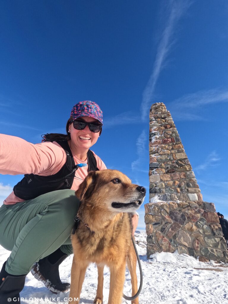
Not Charlie, of course! This is Chewy, a friend’s dog I was watching. Sometimes, you just want to get outside but need a very short hike—this was perfect!
2020
Ensign Peak is also renowned for its breathtaking sunset views. Looking west, you can witness the Great Salt Lake bathed in hues of orange, red, and yellow, creating a mesmerizing sunset that leaves you in awe of nature’s beauty.
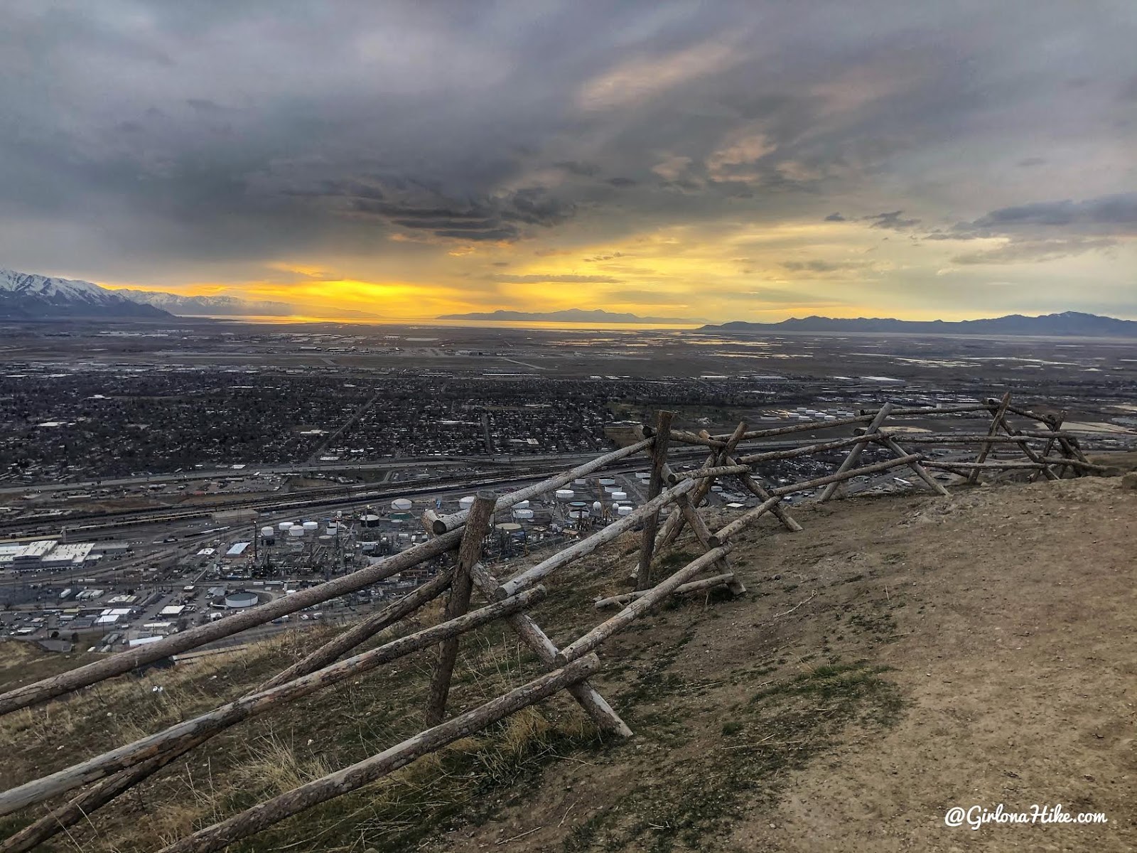
Looking West to the Great Salt Lake!
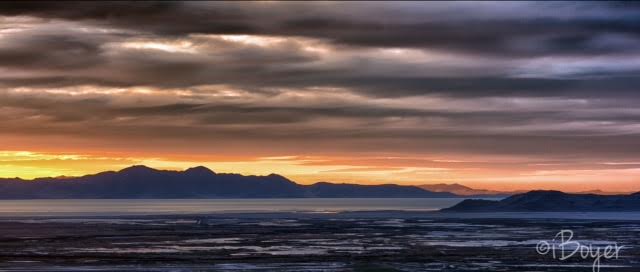
These two sunset photos were taken by my partner.

There are several trails leading to the peak, but this is the most popular and well signed and well traveled path.
My track via Gaia GPS – the best tracking app! Get your app here for a discount.
Nearby Hike

Save me on Pinterest!