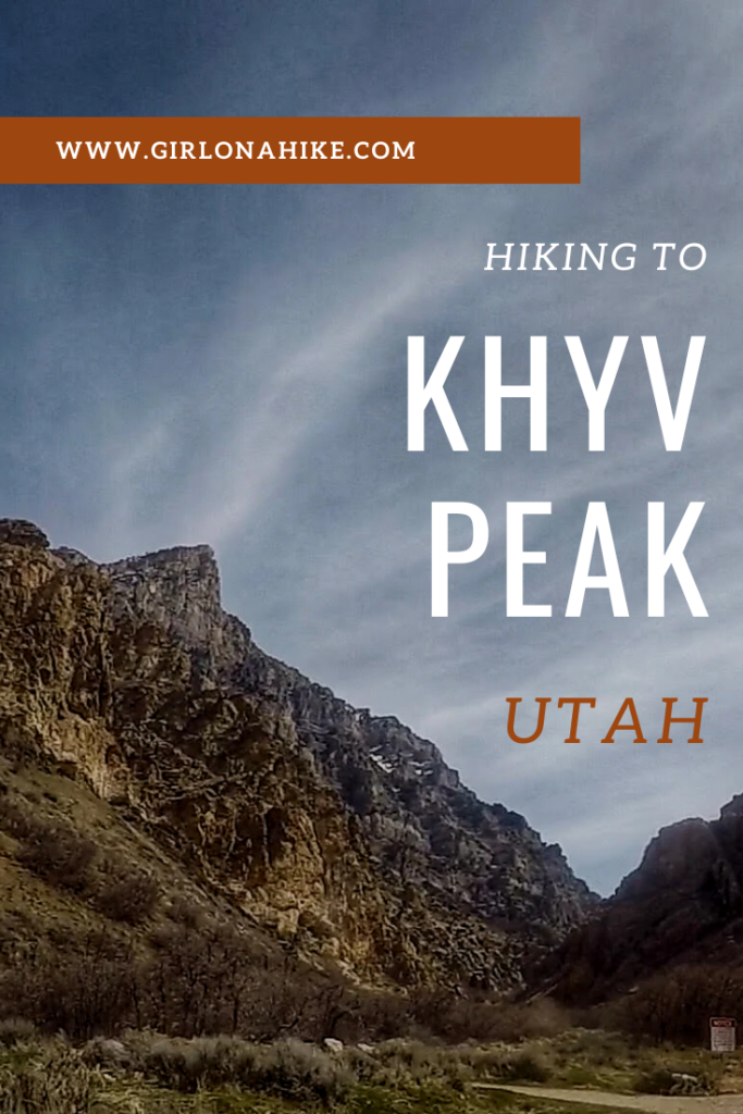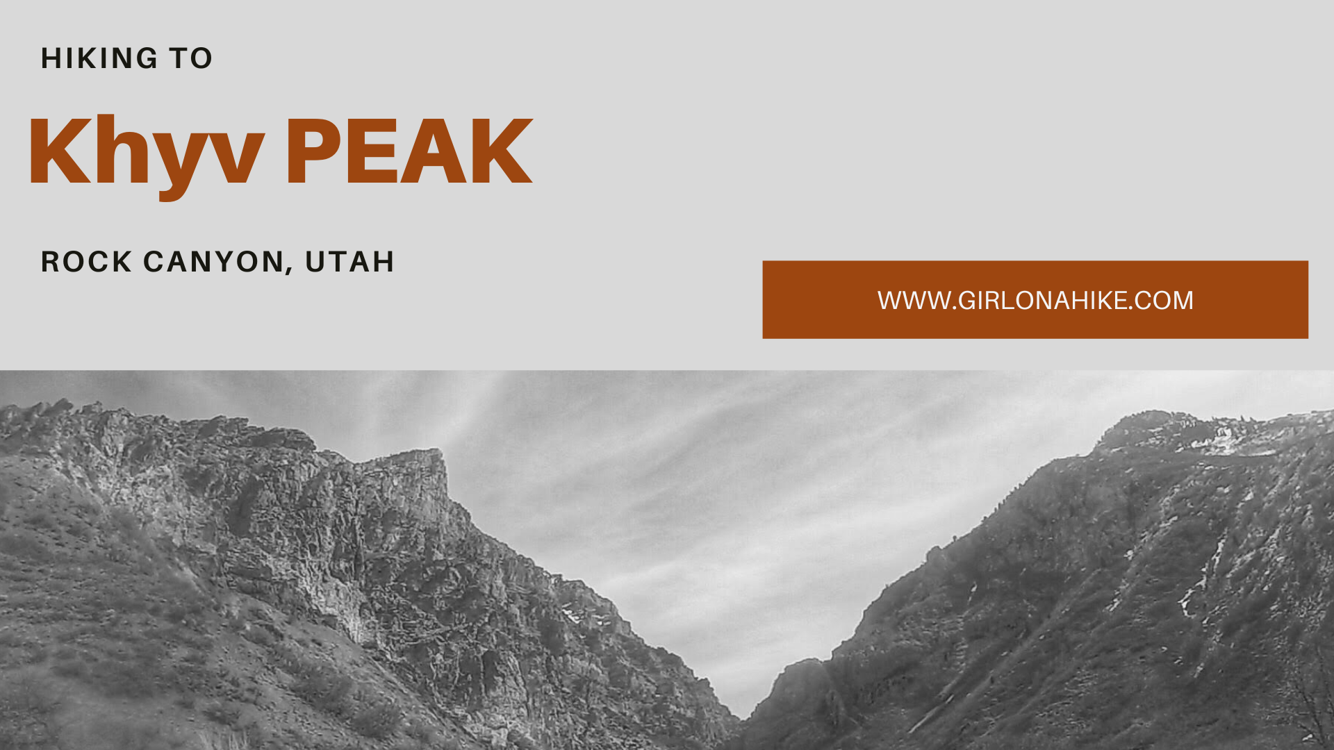
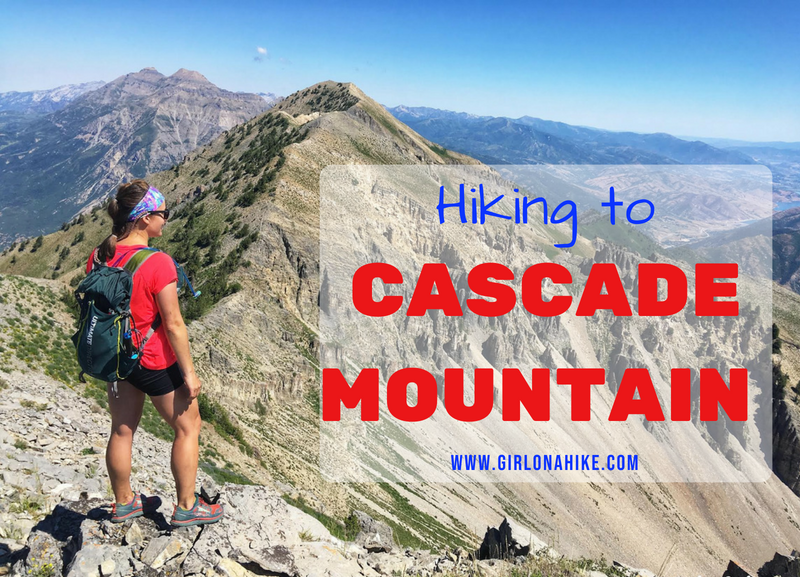
Hiking to Kyhv Peak (formerly known as Squaw Peak until September 2022) leads you up Rock Canyon in Provo, Utah overlooking BYU, Utah County, and Utah Lake at an elevation of 7,859 ft. You can read about why the name was changed here.
About
Geology takes center stage in this majestic canyon, aptly named Rock Canyon. The trail presents a formidable challenge, ascending steeply by nearly 3,000 feet in just 3.5 miles. Adventure-seekers gravitate towards the canyon’s limestone and quartzite walls, drawn by the allure of rock climbing.
Exploring Rock Canyon and ascending Kyhv Peak remain accessible year-round, beckoning both hikers and climbers alike. However, it’s essential to pack an ample water supply; the rigorous ascent guarantees you will sweat, even in cooler temperatures.
The trail is dog friendly, with a refreshing creek flowing near the main trail split. In the middle of summer be sure to pack water for them, you never know when the creek will dry up.
For a more tranquil experience, consider tackling this exhilarating hike on weekdays or Sundays, when there are fewer crowds. We hiked this on a Saturday and passed close to 100 people!
Directions
From SLC, head south on I-15, and take exit 269 for University Parkway. Turn left on 900 E, then right on Temple View Drive. Turn right again on E 2300 N, and drive straight into the parking lot. The parking lot can hold about 40 cars, and there are restrooms. No fees. Here is a driving map to the Khyv Peak/Rock Canyon TH.
Trail Info
Distance: 7 miles RT
Elevation Gain: 3,100 ft
Time: 3-6 hours
Dog friendly? Yes, off leash
Kid friendly? No
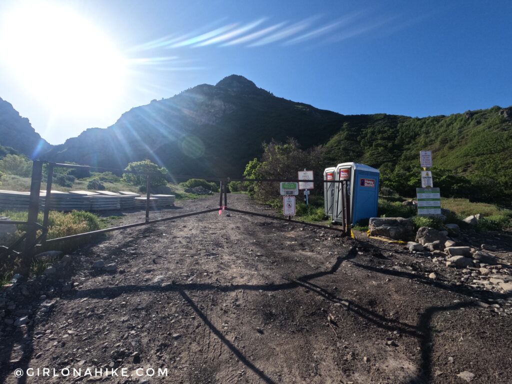
As of May 2024, the parking lot is under construction. Start by walking up the paved road from the parking lot, then past a neon green, metal gate. In the olden days you could drive up pretty far, but they have since closed it off.
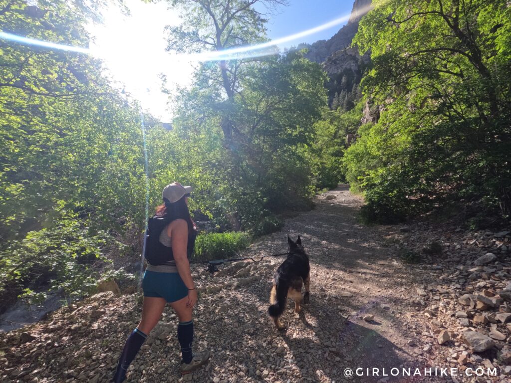
Early Summer is a great time to hike here! So shaded and green.
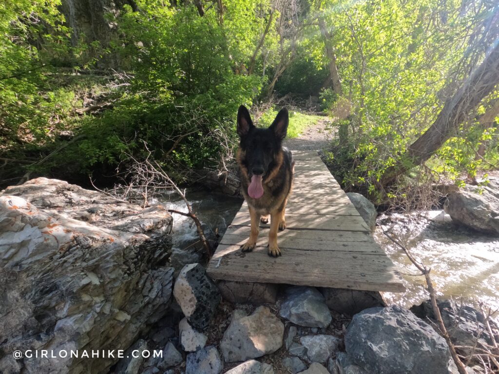
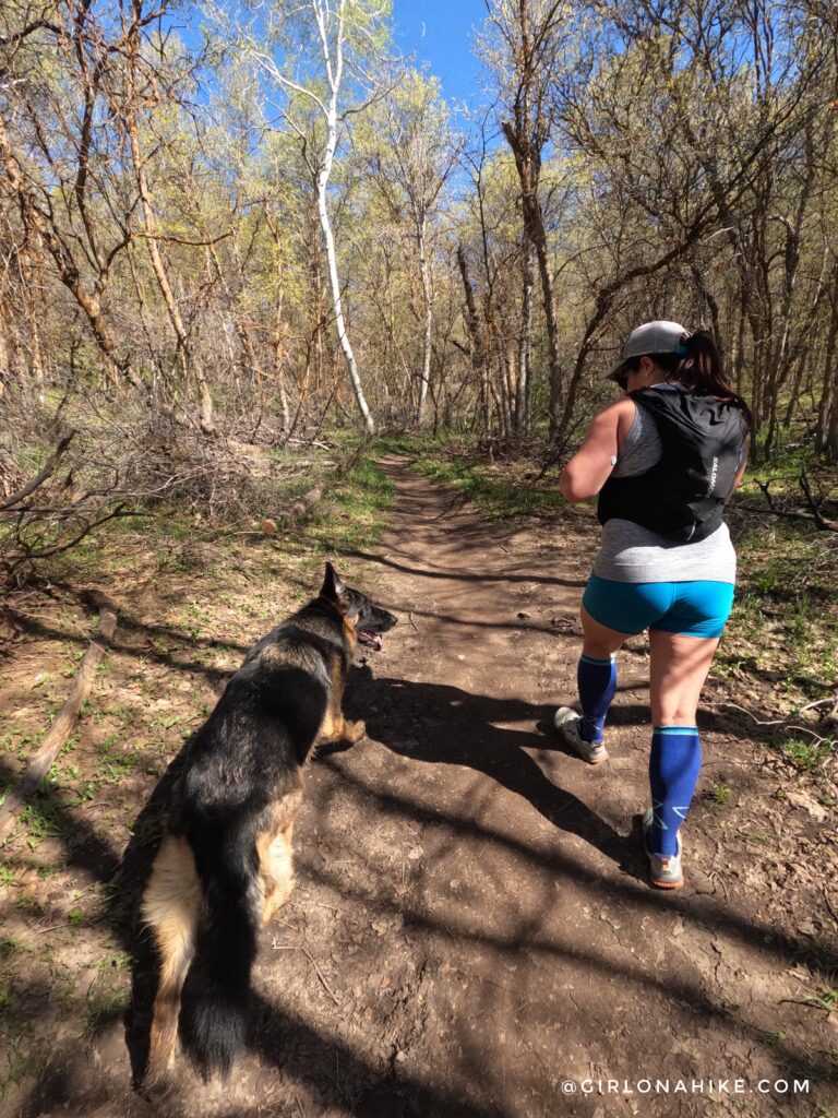
You will cross a total of 5 bridges before taking the trail split. You can see right by Leo’s paw that they are each numbered. Leo is my friend’s German Shepherd.
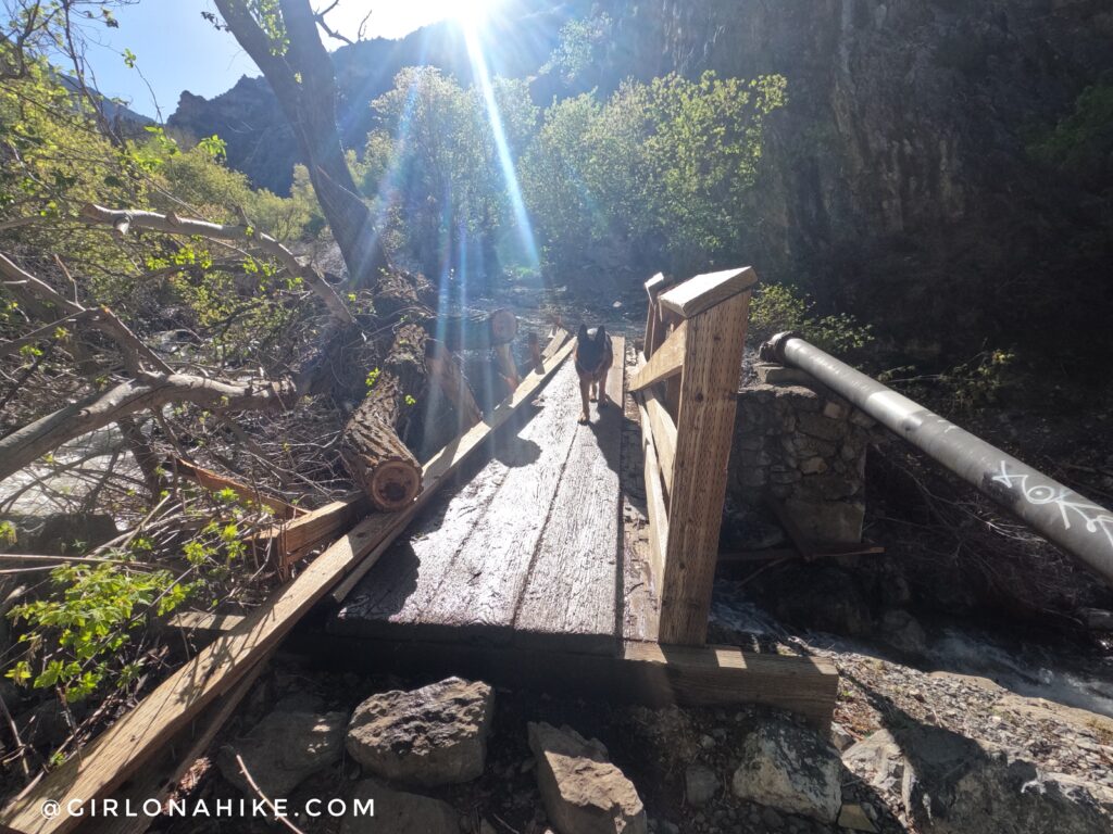
Just passed bridge #2 is where a big avalanche occurred, hence why this one looks broken in sections.
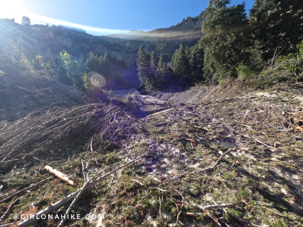
Wow! So much damage.
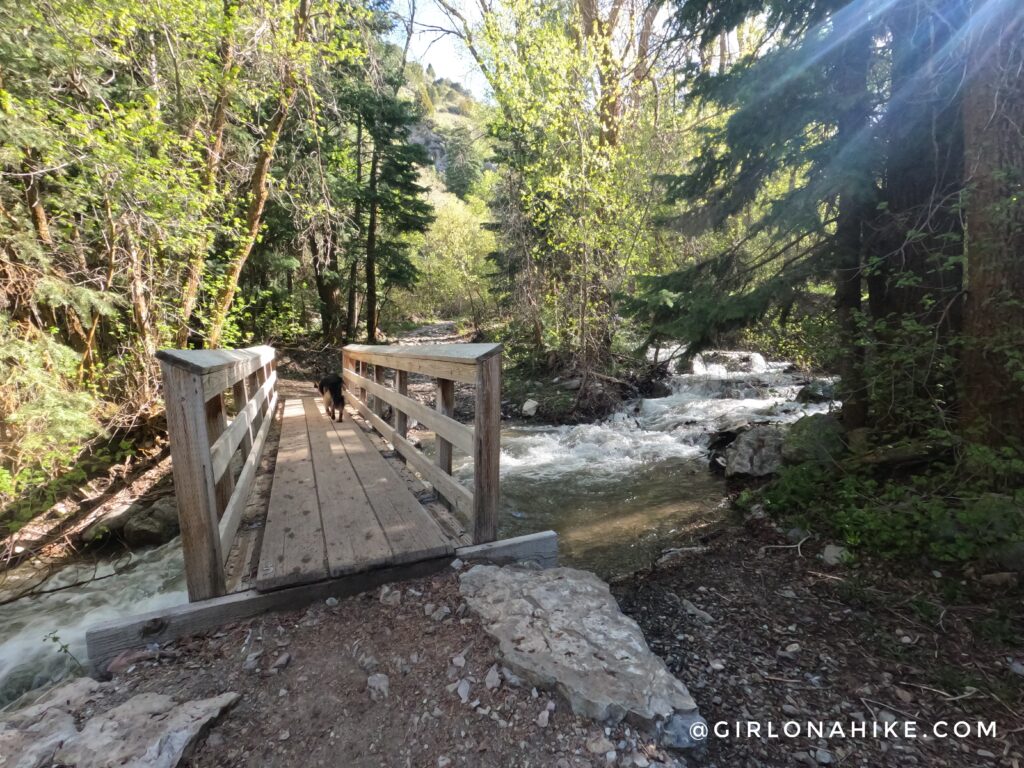
Bridge #5!
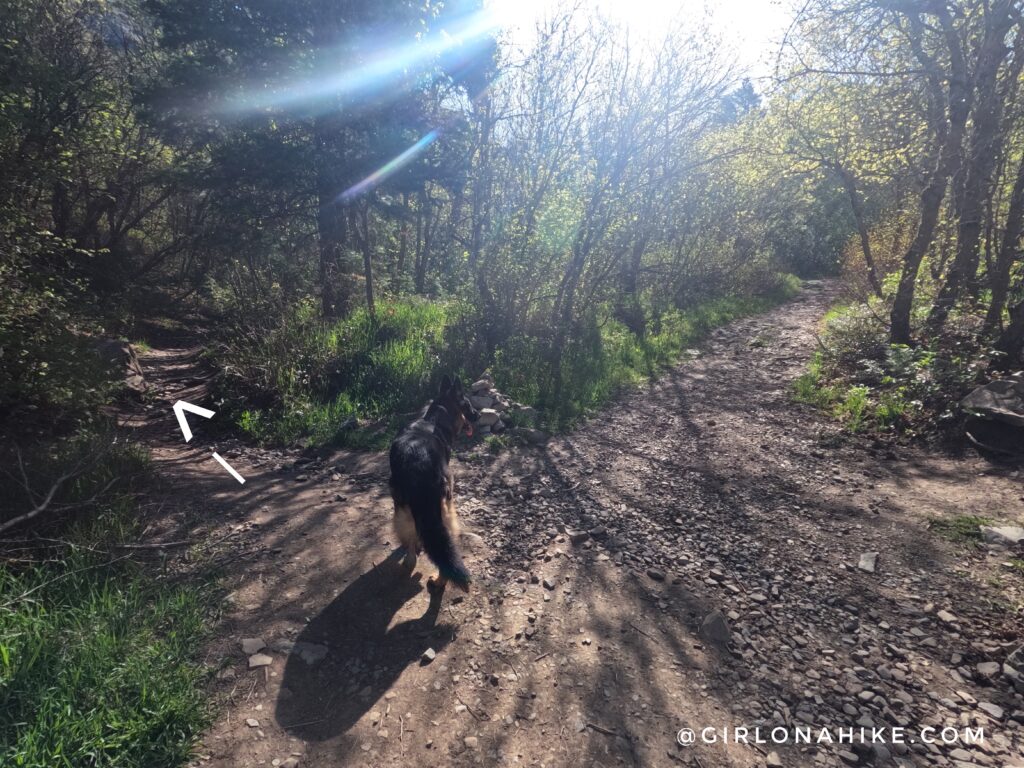
At the brown trail marker “060” (some years its there, some not as in 2024) and exactly at 1.5 miles, you will turn left at the split.
This is where the trail gets really steep, just after the split. This is one of the few flat sections.
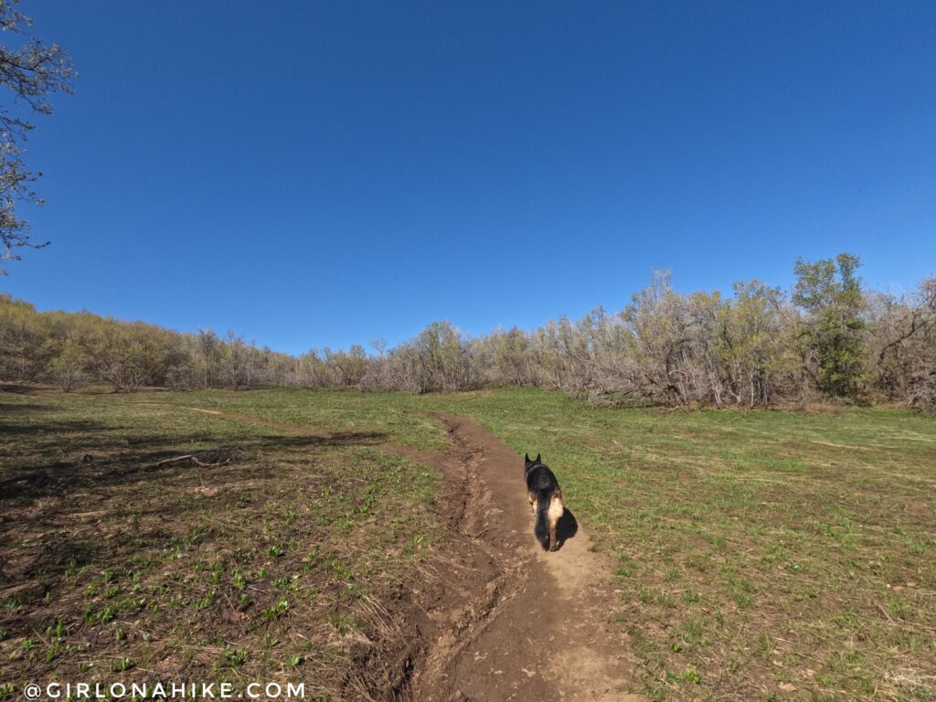
Lizzie & Leo guide the way!
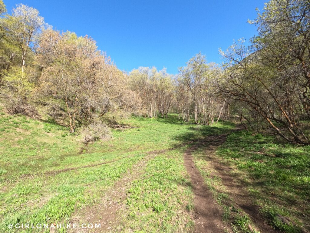
Ahh the big meadow! Finally a flat section. From here you’re only about 3/4 mile away from Khyv Peak!
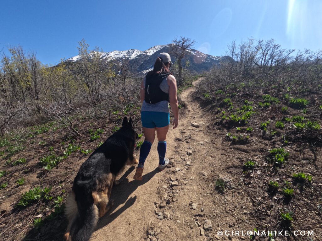
Buffalo Peak is in front of us.
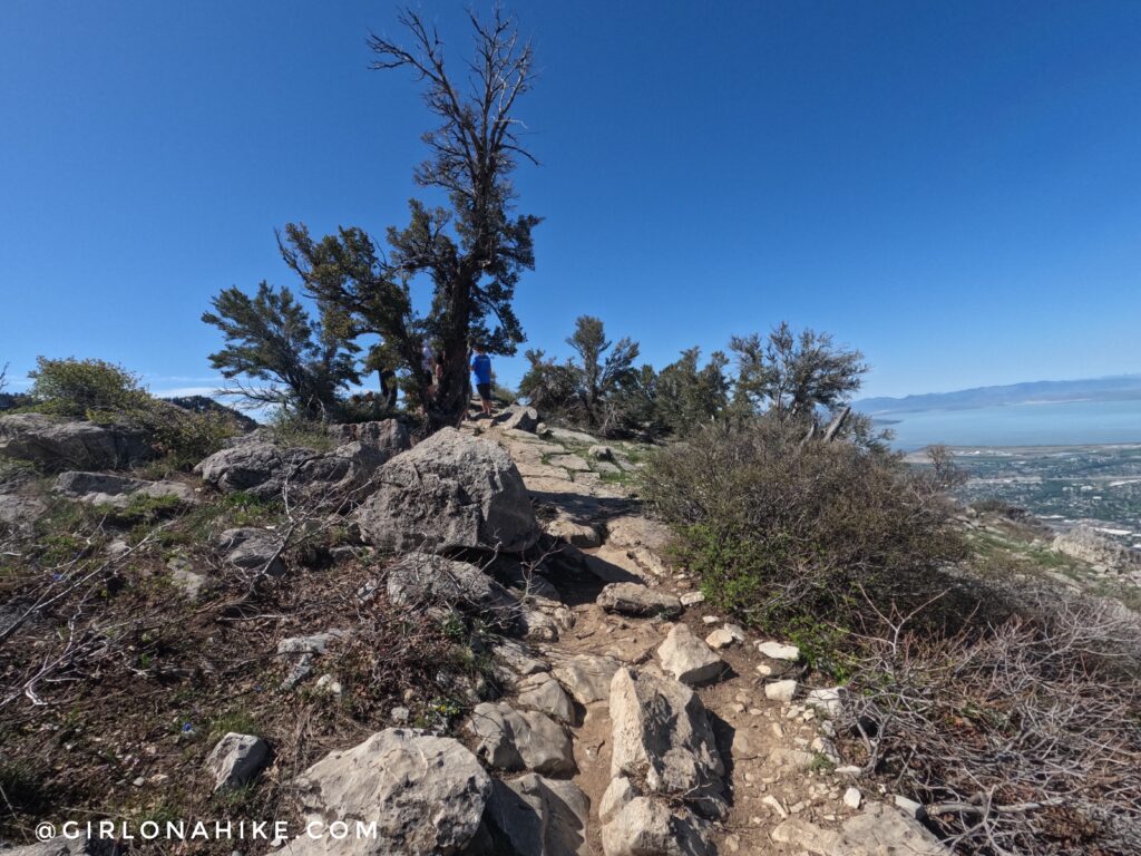
The last little bit of a steep climb. Because of how steep this hike is in sections, hiking poles are very helpful, especially for those prone to knee and hip issues.
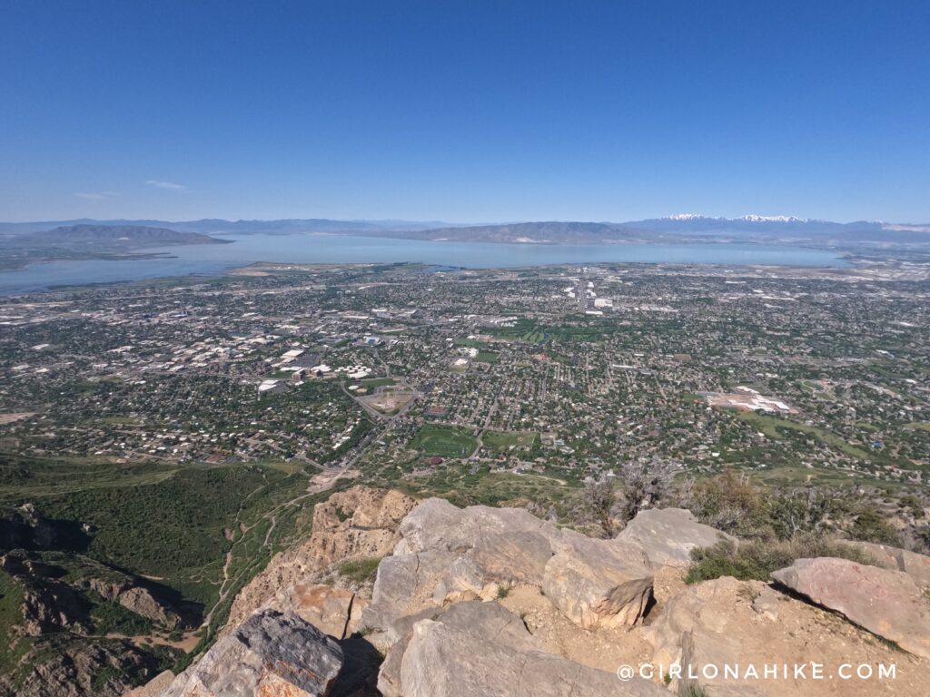
On the summit! Panorama of Utah Lake & Utah County.
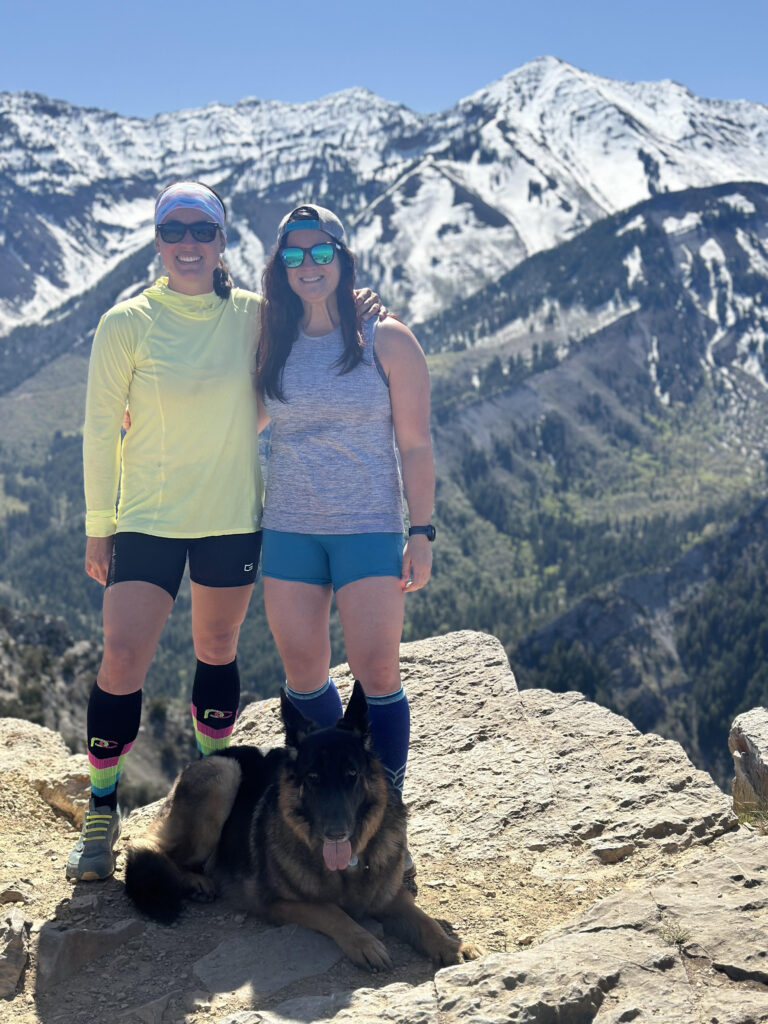
Girls day out with Provo Peak behind us!
PS compression socks are super helpful on this hike due to the steepness – they will save your legs! My favorites are from ProCompression. They regularly have sales so don’t pay full price.
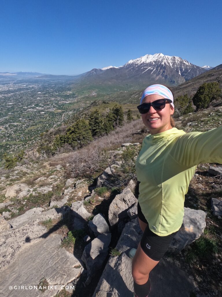
Looking North on Khyv Peak towards Mt.Timpanogos in the distance!
Check out my video from 2019!
Trail Map
My track via Gaia GPS – the best tracking app! Get your app here for a discount.
Nearby Hike

Save me on Pinterest!