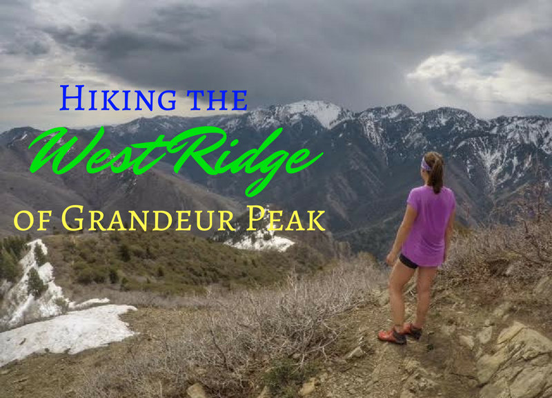

Grandeur Peak (8,299 ft and pronounced like “grand-er”) is the one of the high points in Millcreek Canyon, and offers fantastic views of the SLC Valley and into Parley’s Canyon.
About
Most people hike from to the summit from Millcreek at the Church Fork Trailhead, since it’s considered the “easiest” way to the summit. From Church Fork the trail is 6 miles RT with 2,900 ft. Want a challenge and a better workout? Hike the West Ridge to Grandeur Peak! Taking this route gains 3,300 ft in 4.4 miles RT. This route is not for the beginner hiker due to the steepness.
Many people make it their goal to summit Grandeur this way in under 1 hour. My time? 1 hour 50 minutes – and you all know I hike all the time so that tells you how steep it is! The fastest time I know of is 38 minutes – wow! The West Ridge is more popular with runners, but hikers along with dogs also frequently hike here. You’ll want to start hiking this trail early in the morning to beat the heat – there is zero shade on the trail until the last 1/2 mile. Bring plenty of water for both you and your dogs. Hiking poles are also helpful for this route.
There are two ridges you can take for the first half of the hike – the north or the south ridge, both on the West face or ridge. My preference is to hike UP the north ridge, summit, then hike DOWN the south ridge. I’ve marked the route on my maps below. You can go either way it’s just my preference. Both are steep with loose rock, but I do think the north ridge is less crowded and you can see better into Parley’s Canyon.
Directions
From SLC, use this driving map.
Trail Info
Distance: 4.4 miles RT
Elevation gain: 3,300 ft
Time: 2-4 hours
Dog friendly? Yes, off leash
Kid friendly? No
Fees/Permits? No
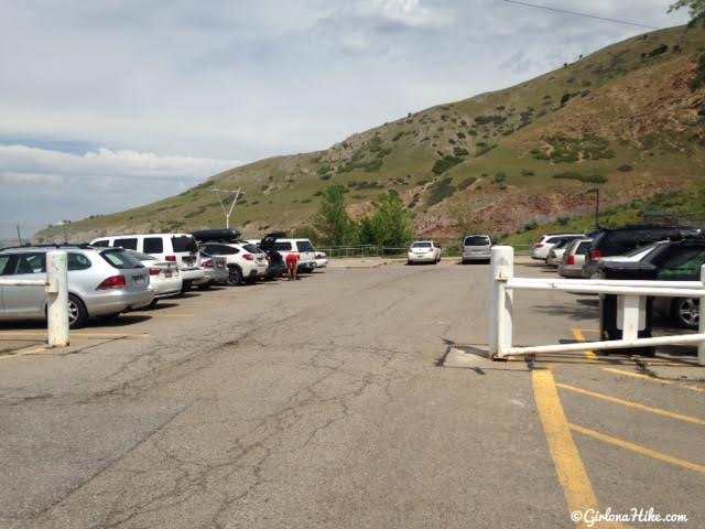
The parking lot can hole about 20 cars, plus there’s space just outside these gates on the street. They close this gate at 10pm so make sure you get down in time to drive out. There has also been a lot of vandalism and glass damage in this parking lot. Don’t keep valuables in your car!
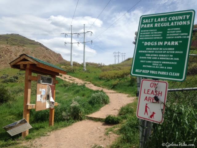
The first 10 feet of this hike are part of a small park and dogs are supposed to be leashed. Past this sign you can unleash them (however many people just start off without a leash from the parking lot).
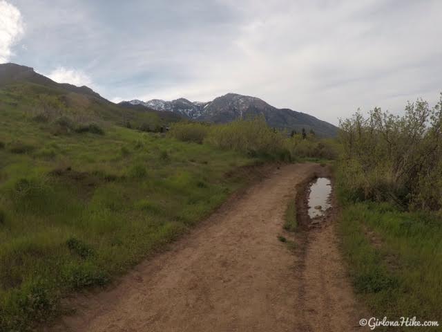
Follow the trail to the right to get up to the BST (Bonneville Shoreline Trail).
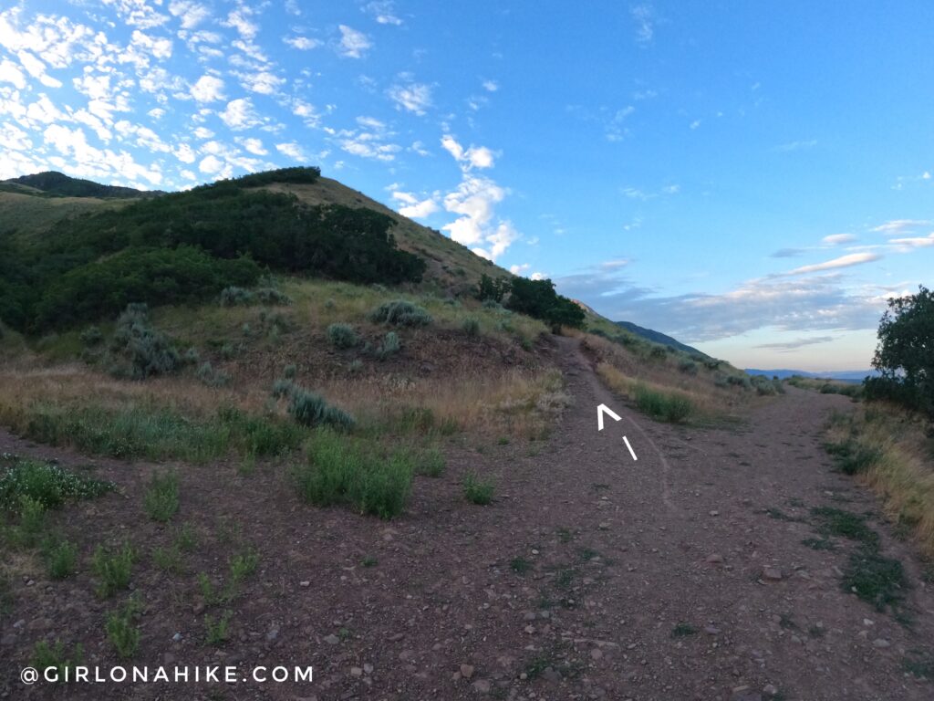
You’ll see two trails. The one on the left take the North ridge, the one to the right takes the South Ridge.
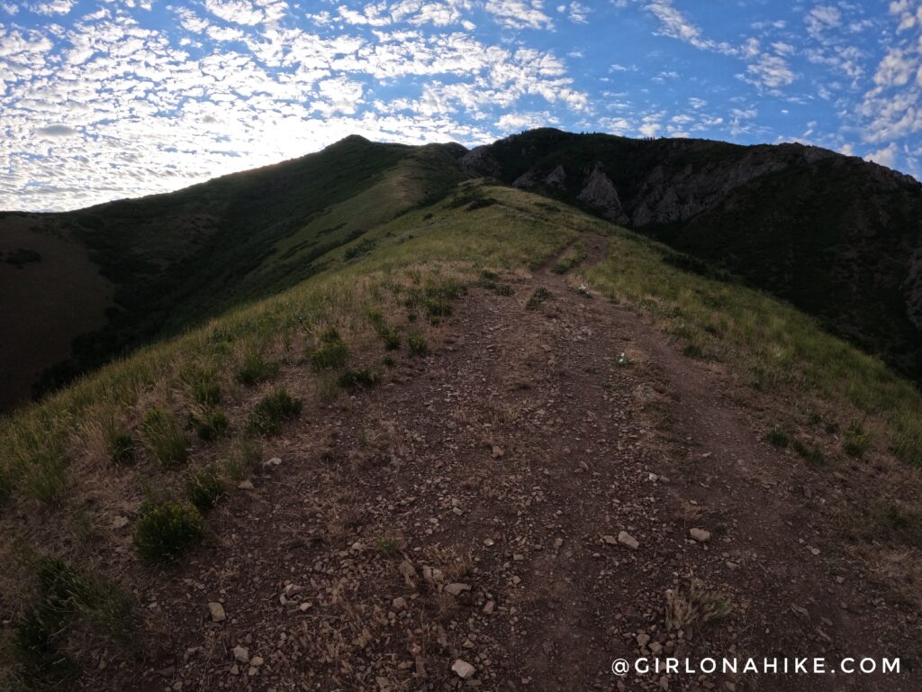
The trail is very steep with loose rock. There is no easy way around it.
You should now be on the ridge and can sort of see down into Parley’s Canyon. Across the canyon is Parley’s Canyon Overlook and the Emigration Canyon Ridge for Dale & Perkins Peak.
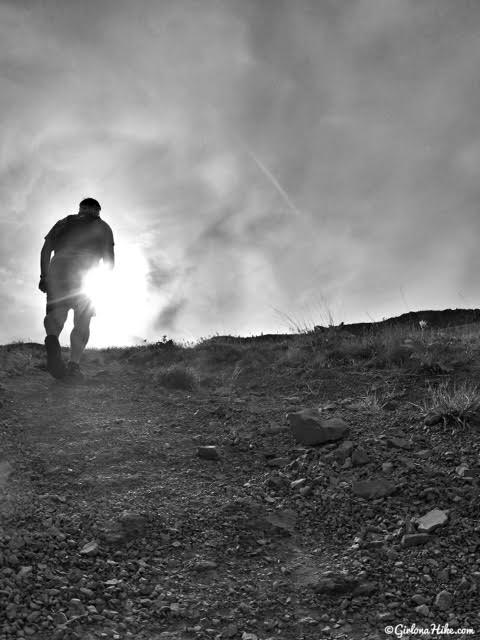
Have I mentioned how steep the West Ridge to Grandeur Peak is?!
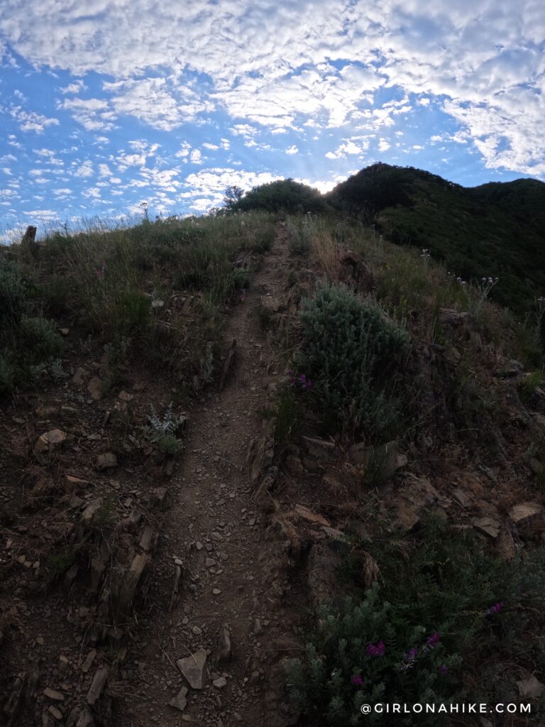
When you hike up the North ridge, the trail eventually intersects with the South ridge trail. Turn left to continue up to Grandeur Peak. The only shade on this entire route is the last 1/2 mile.
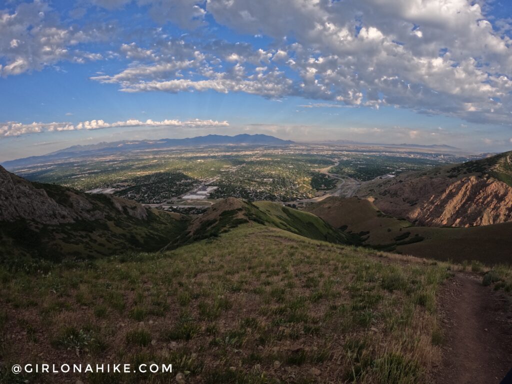
Don’t forget to look back down to SLC!
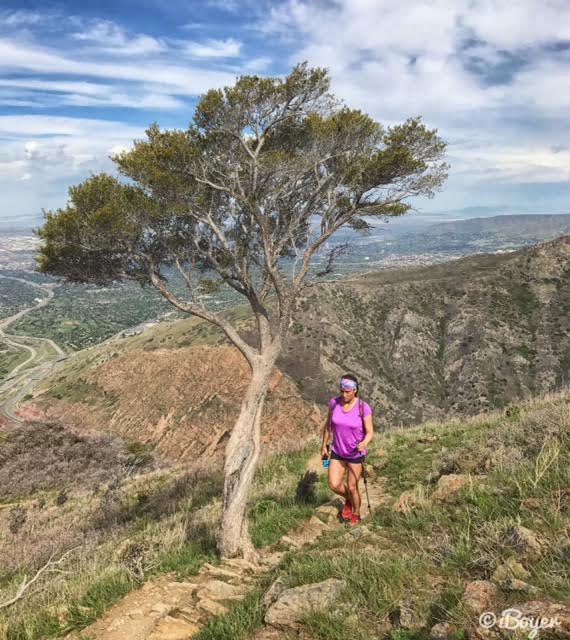
Whew, this route is a butt-kicker! Hiking poles are definitely helpful.
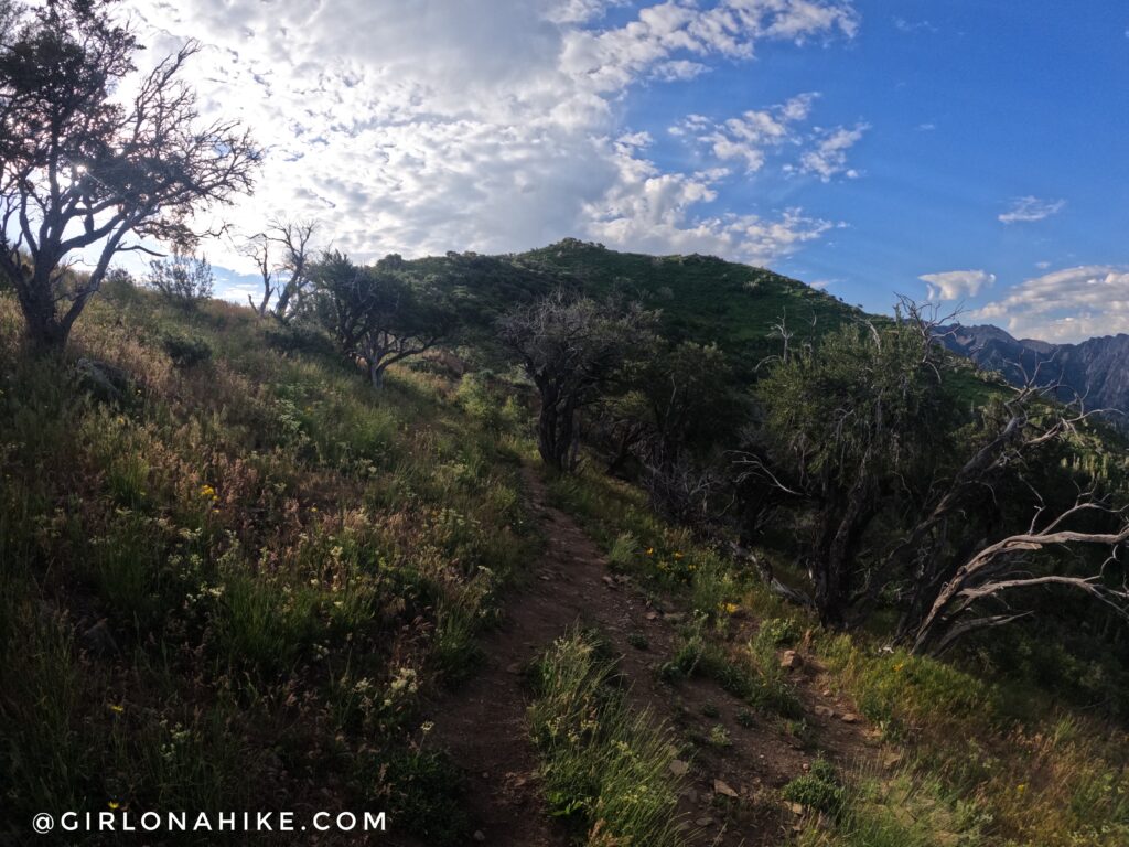
Ok, this trail just seems never-ending!
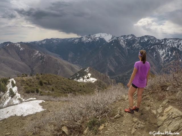
Finally on the summit!
Let me say that I am not a person who normally sweats no matter how hard I hike. That’s just how my body is. It takes awhile for me to warm up any time of the year, so you know it’s hot when my whole back is drenched! Not only was it hot, but it was a really tough hike for me. My exercise-induced asthma was not a fan of this route (but of course, I don’t let that stop me!).
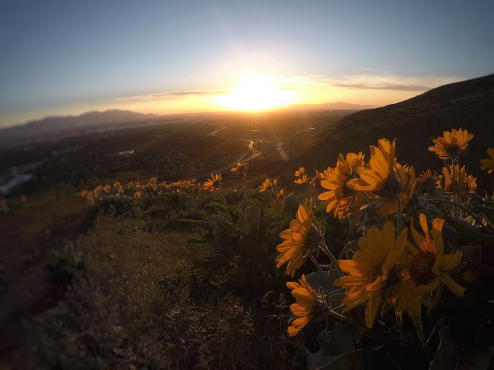
I love doing this hike at sunset as well!
Trail Map
My track via Gaia GPS – the best tracking app! Get your app here for a discount.
Nearby Hike
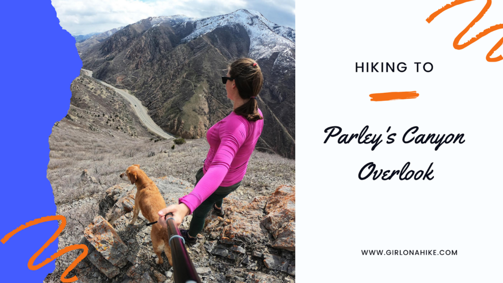
Hiking to Parley’s Canyon Overlook

Save me on Pinterest!
