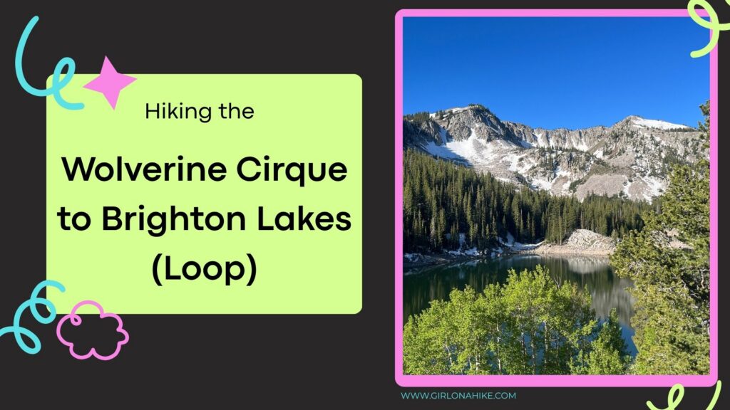
Mt. Wolverine and the Wolverine Cirque, located above Brighton Ski Resort in Utah’s Big Cottonwood Canyon, are best known as a popular winter backcountry skiing destination. But in summer and fall, this scenic area transforms into one of the most rewarding alpine loop hikes in the Wasatch Mountains. Even better, if you’re a peak bagger, this route offers the chance to summit up to six peaks in a single day!
About the Mt. Wolverine & the Wolverine Cirque Loop Above Brighton Ski Resort
While this adventure can be done as a point-to-point hike, turning it into a loop trail is the best way to experience all the highlights. Along this loop, I summited four peaks, passed four alpine lakes, and enjoyed some of the most stunning 360-degree views in the Wasatch Range.
Peaks You Can Summit on the Wolverine Cirque Loop
This route includes four main peaks, all above 10,000 feet:
-
Patsy Marley (10,525 ft) – often unnamed on maps, but a worthy summit
-
Mt. Wolverine (10,795 ft) – the highest point on this loop
-
Mt. Millicent (10,452 ft) – requires an off-trail scramble through boulders
-
Mt. Tuscarora (10,640 ft) – offers sweeping views of the cirque and lakes below
Three out of the four peaks are located directly on the trail. The exception is Mt. Millicent, which requires some light off-trail navigation across rocky terrain. There’s no technical scrambling required for any of the summits, making this a great option for experienced hikers who want a challenge without ropes or climbing gear.
Trail Notes and Hiking Tips
I hiked this loop counter-clockwise, but it can be done in either direction. Along the way, I met another hiker doing the exact same route in reverse. The loop offers flexibility: if you start feeling tired or run short on time, it’s easy to backtrack and skip one or more of the summits.
Distance & Time: Plan on spending 4–7 hours depending on your pace. Faster hikers can complete the loop in about 4 hours; slower hikers may take up to 7.
Exposure: This route is very exposed to sun and wind, even in summer. Bring sun protection, plenty of water, snacks, and a light jacket, hat, and gloves for higher elevations.
Best Seasons: Summer and fall are ideal. Snow typically lingers into early summer.
Dogs: Not allowed due to Big Cottonwood Canyon’s watershed regulations.
This loop hike above Brighton Ski Resort is one of the most scenic, accessible, and rewarding high-alpine adventures near Salt Lake City. Whether you’re in it for the views, the elevation gain, or the peak bagging challenge, the Wolverine Cirque loop won’t disappoint.
Directions
From SLC, head south on I-215, then take exit 6 for Wasatch Blvd and head south. Turn left for Big Cottonwood Canyon, and drive to the very end of the road. Look for the Solitude Nordic Center/Lake Solitude parking lot on your right. This is where the loop begins and ends. Here is a map.
Trail Info
Distance: 7.8 miles (loop)
Elevation gain: 2,719 ft
Time: 4-6 hours
Dog friendly? No, dogs are not allowed in BCC
Kid friendly? No
Fees/Permits? None
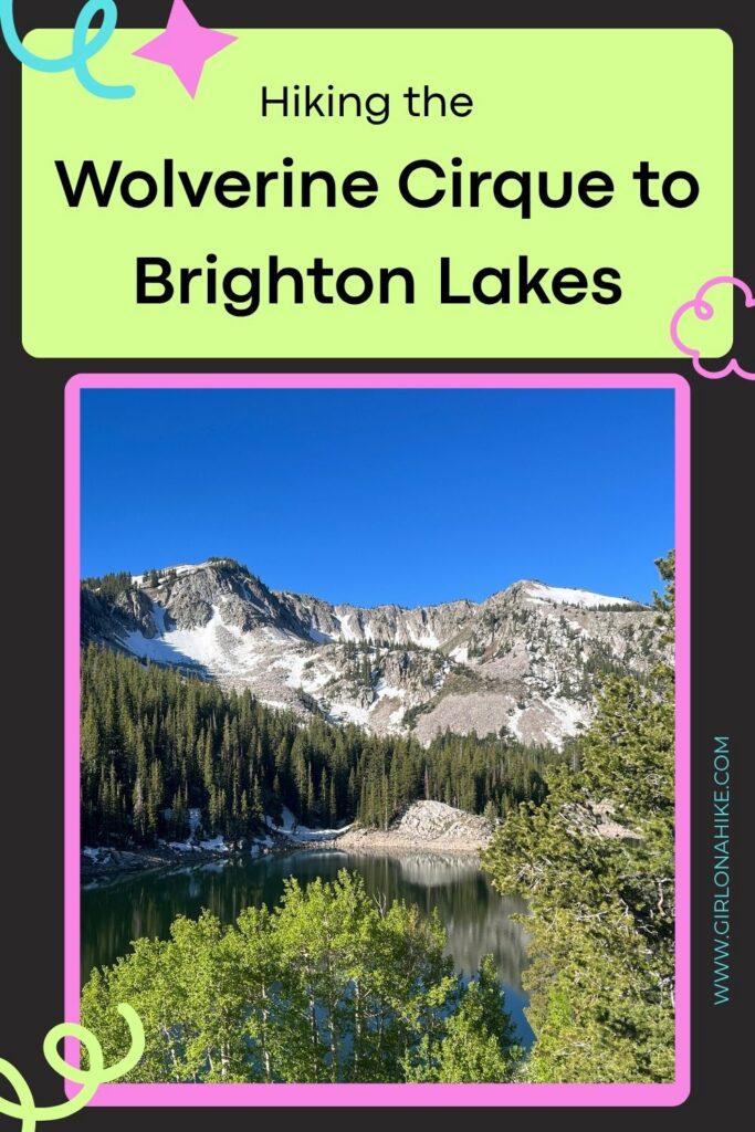
Hiking the Wolverine Cirque to Brighton Lakes: What to Expect
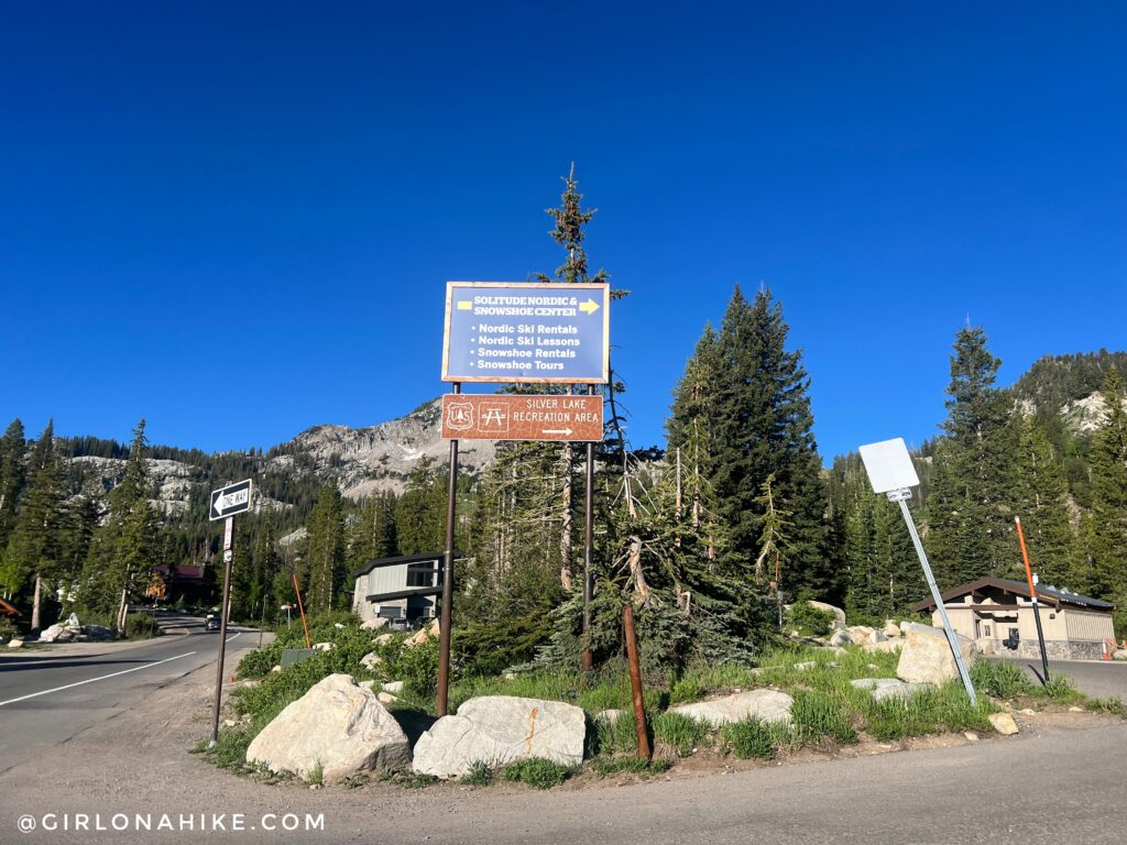
Begin by parking in the Solitude Nordic Center area, then walk behind the building to the boardwalk.
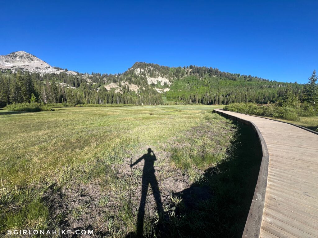
It was a frosty morning! Wasn’t expecting that, and I was in shorts! The canyons are typically 15-20 degrees cooler than in the valley, so that is why I always recommend bringing a light jacket. Once on the boardwalk, turn right and follow it around Silver Lake.
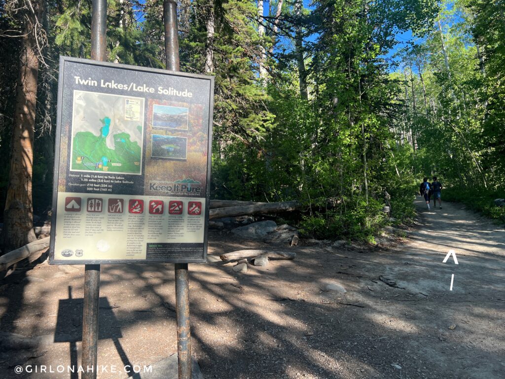
This is the first 3 way intersection you come to. Turn right/straight for the Twin Lakes Trail, which leads up to the Twin Lakes Reservoir. This is your trail. If you turn left, it will just wrap around Silver Lake.
Twin Lakes Trail Split
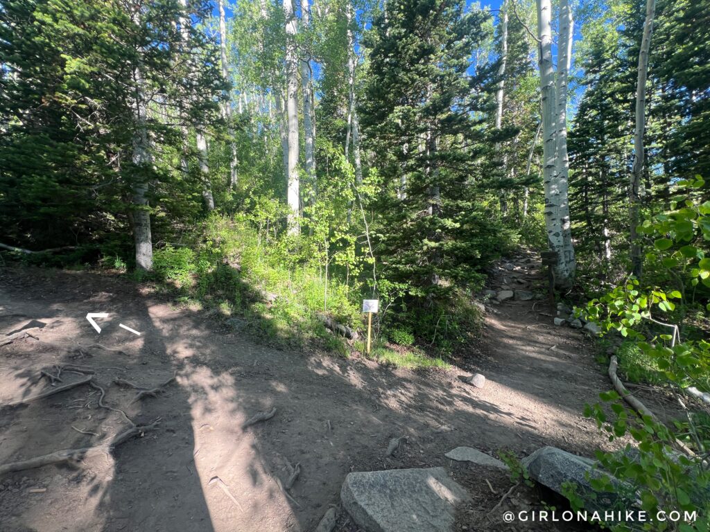
At the next 4 way intersection, turn left, following the sign for Twin Lakes.
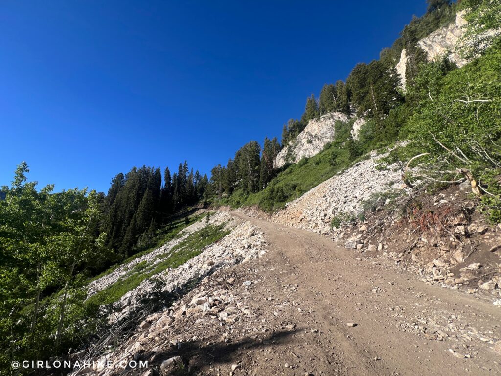
Connect with the ski run and stay left.
You should now be hiking above Silver Lake.
The trail is fairly rocky, but not bad at all. When you get to the top of the ski run and see the dam, veer right for Twin Lakes.
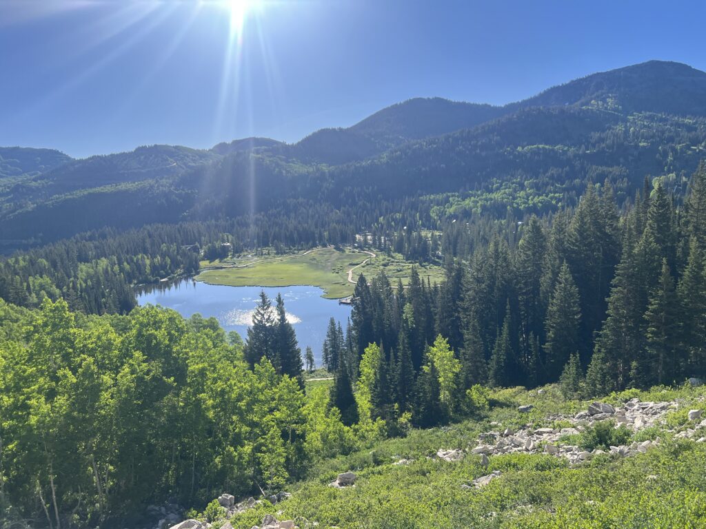
Twin Lakes Reservoir
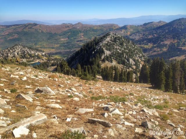
Patsy Marley is the high point on the right; Tuscarora is on the left. Follow the trail on the North (right) side of the lake.
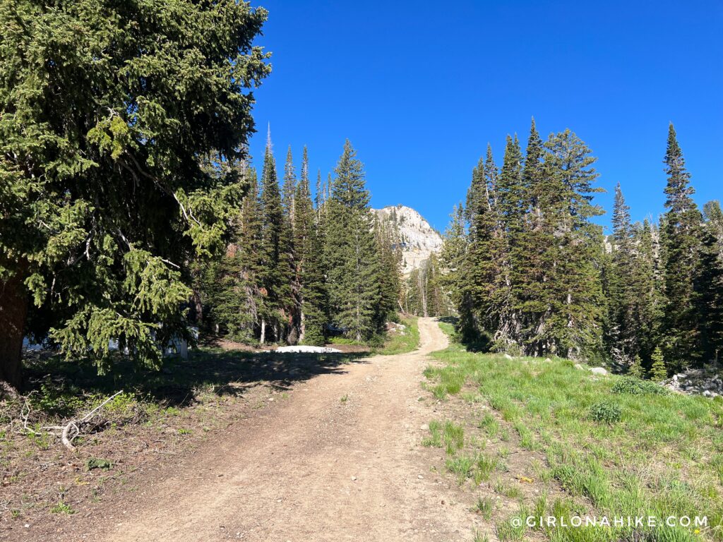
Once the trail flattens out, you’ll now be hiking in Solitude Ski Resort. Follow this dirt road, a ski run called “Back Door”, up for another 1/4 mile.
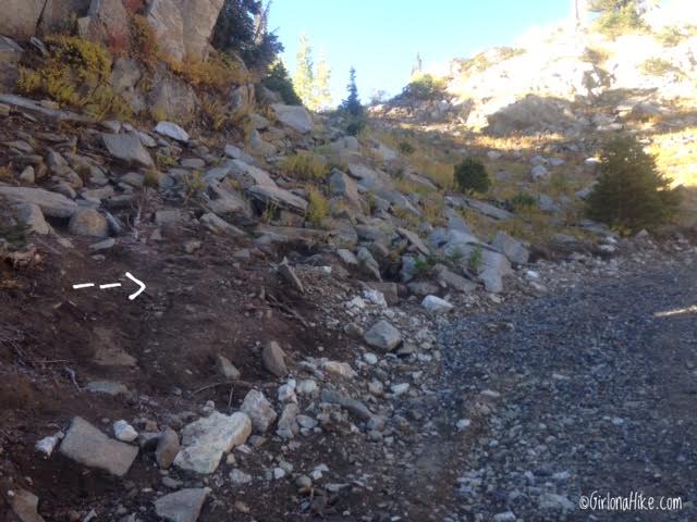
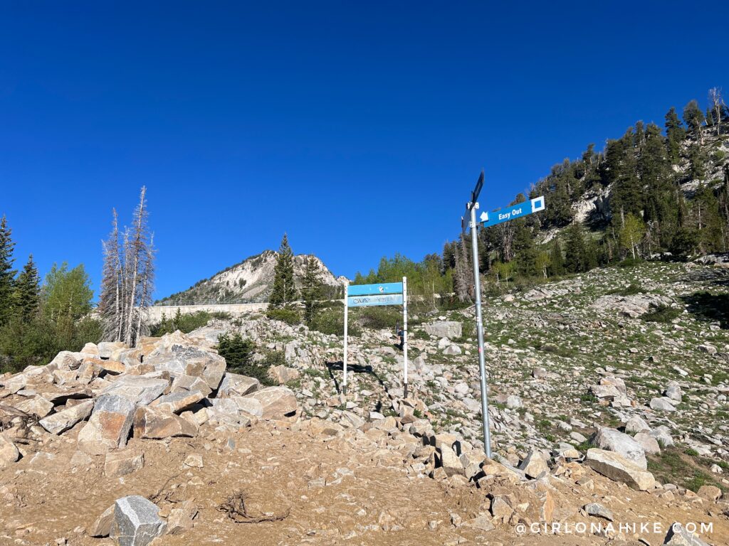
You’ll see this small, unsigned turn off leading up to the left. This is your turn to reach the saddle below Patsy Marley Peak. If you hiked all the way up to the Summit Lift, you’ve gone too far.
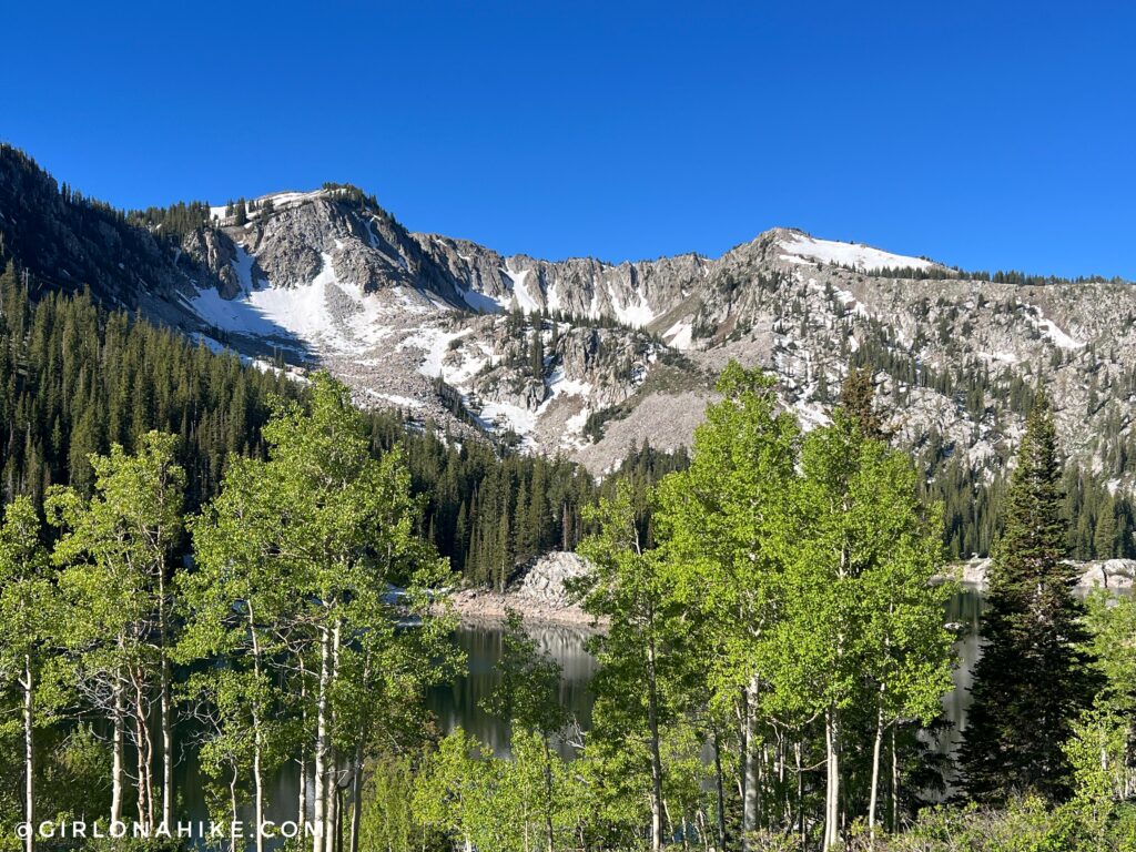
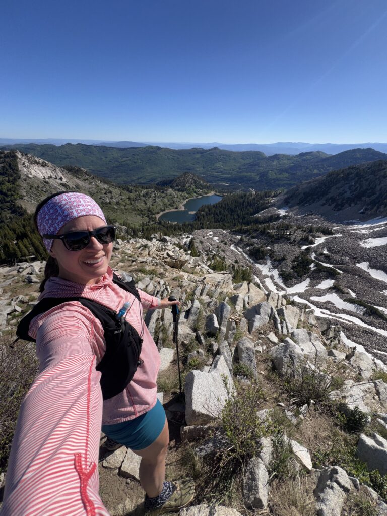
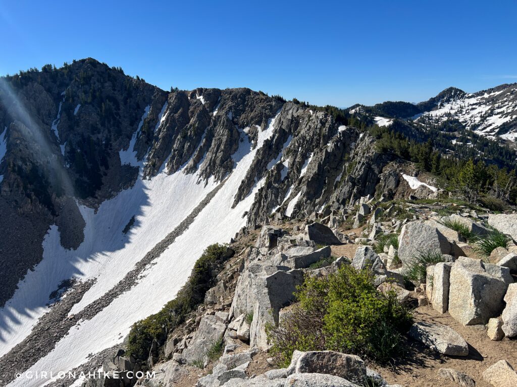
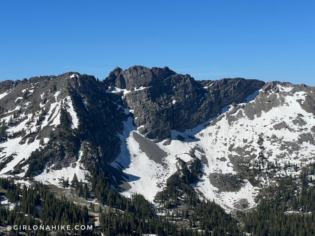
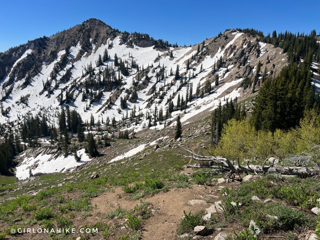
One of my favorite views in the Wasatch! The Wolverine Cirque is so pretty!
At the saddle, you’ll have an awesome view from here on out of Mt. Superior & Monte Cristo Peaks to the West.
Patsy Marley Peak
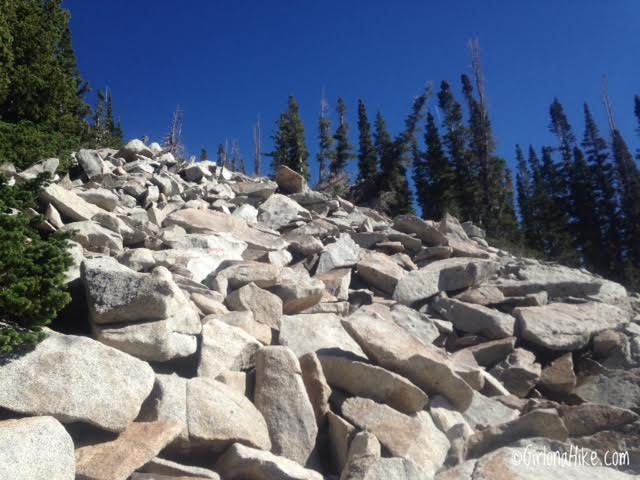
Looking up the boulder field to Patsy Marley Peak. It looks bad, but its actually pretty easy. Only the last 50-75 ft was the toughest because of the steepness. Nice thing is, no rocks were loose.
Summit of Patsy Marley Peak! Took me about 1 hour to this point. This is looking down on the Twin Lakes Reservoir, where I just hiked up from.
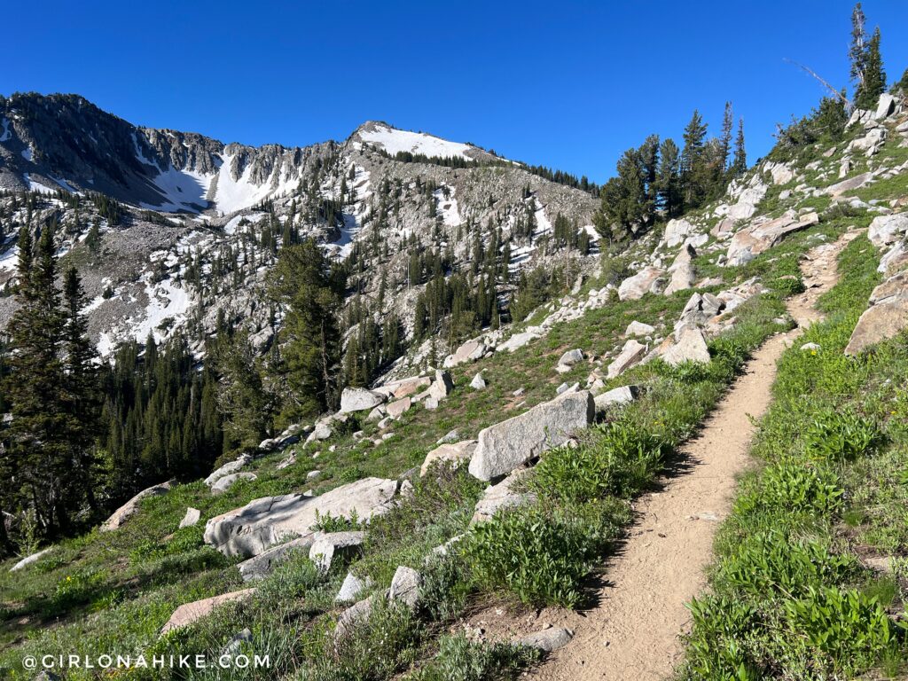
From Pasty Marley, just follow the ridge over to your next peak, Mt. Wolverine. It’s pretty easy ridge walking, but I did loose the trail twice. Thankfully I was able to bushwhack my way back to the trail in no time.
Mt.Wolverine
Just stay high on the ridge – a trail favors the right side of the ridge.
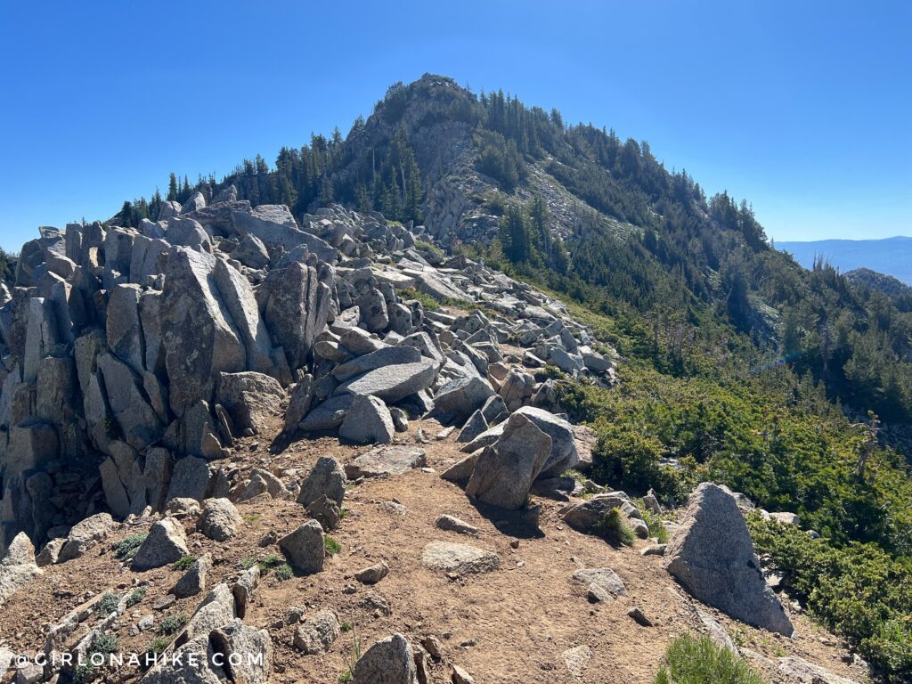
The last 100 yards leading up to Mt. Wolverine are the steepest, but again, not hard.
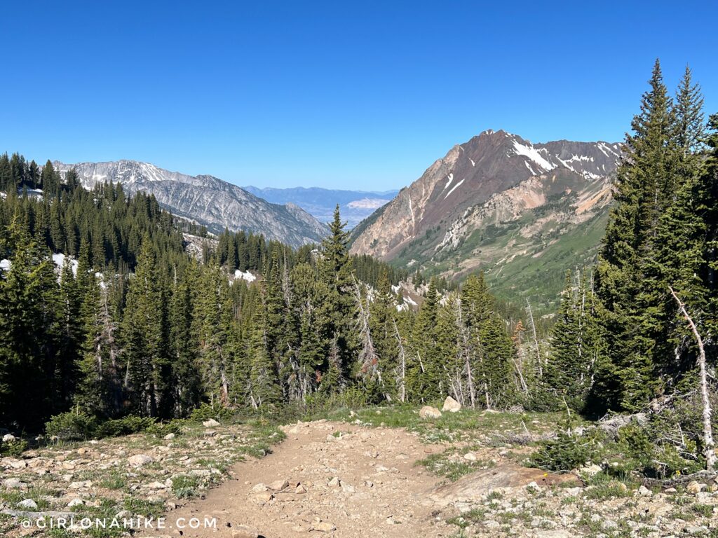
On Mt. Wolverine looking SW to Devils Castle.
That rounded peak in the middle is Sugarloaf Peak, and in the far distance, American Fork Twin Peaks. So cool to see all these other peaks I have hiked.
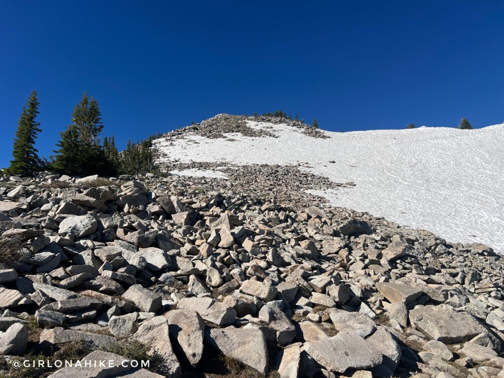
To bag Mt. Millicent, you’ll need to hike off trail. I just followed the ridge down to the small saddle, then up to the peak. It took me roughly 20 minutes from Mt. Wolverine to Mt. Millicent. Not bad!
Mt.Millicent
The boulder field leading up to Mt. Millicent. Many of these boulders are unstable, so watch your footing.
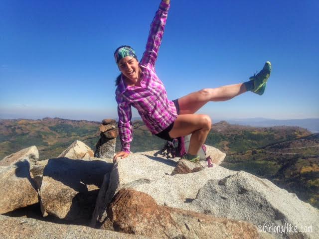
I tried many self-timed summit jump photos, but all failed haha, so I ended up doing this weird pose. Sometimes selfies don’t work out the way you want lol but the one that works out ends up being fun anyway.
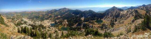
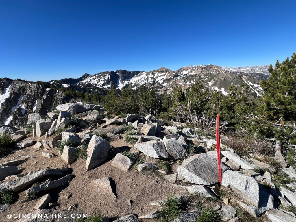
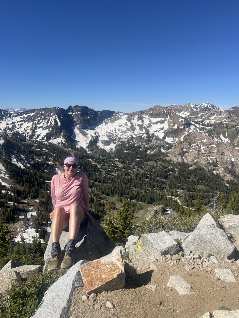
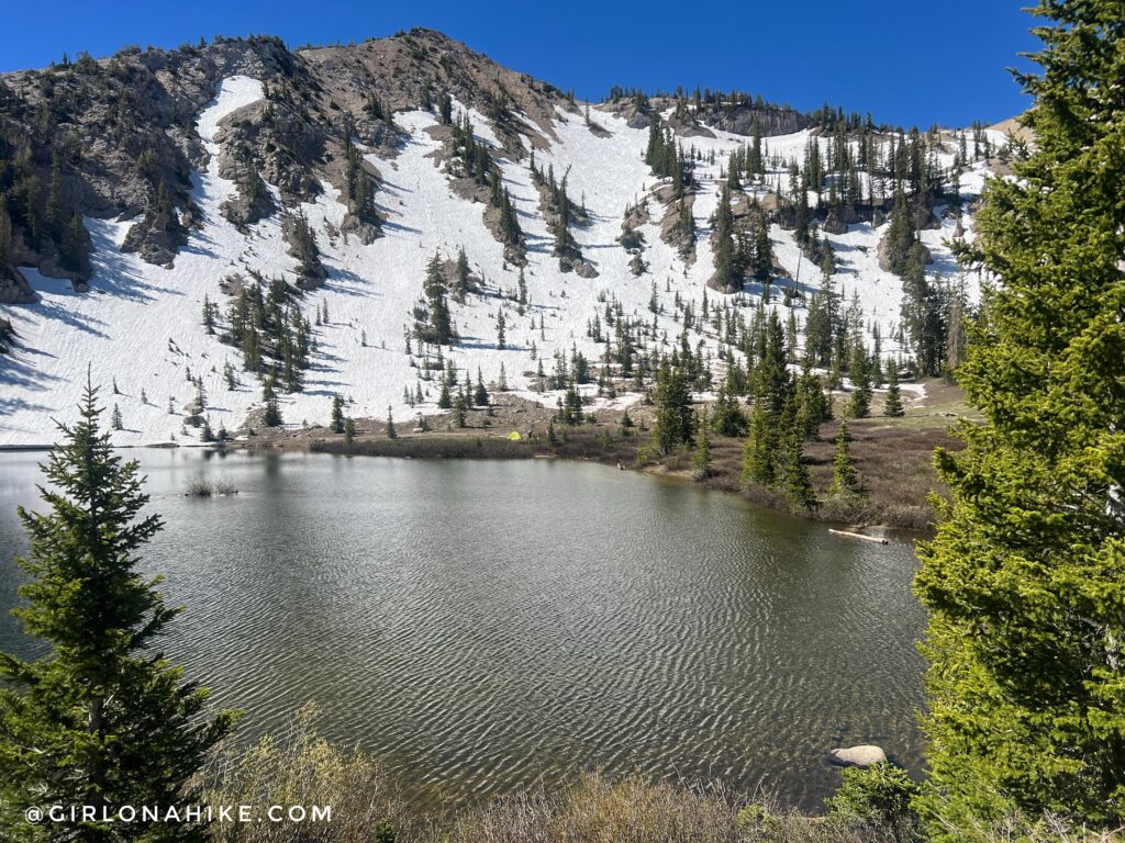
Panorama shot from Mt. Millicent, looking down into the Brighton Lakes area. After summiting this peak, hike back over to the main ridgeline, connecting to Mt. Tuscarora (see my maps at the end of this post).
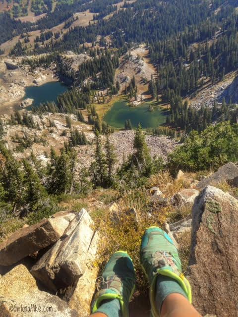
On the summit of Mt. Tuscarora! Looking down to the empty Lake Mary (left), and Lake Martha (right). Eventually you will hike past these lakes towards the end of the loop. Once you are done taking in this awesome view, continue down the ridge towards Catherine Pass.
Catherine Pass
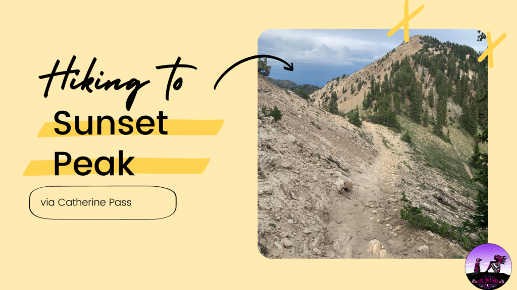
This very tall sign is for when the snow levels are really deep during winter for skiers. This is also a big trail intersection. Continuing East along the ridge will take you up to Sunset Peak, south will take you back to Alta, and North will take you down past Brighton Lakes (they way you want to go to make the loop). As mentioned before, I only knocked out 4 peaks, but you could do 6 by continuing on to Sunset Peak, and Pioneer Peak, then hiking back to Catherine Pass.
Swimming is not allowed in any of the lakes in Big Cottonwood Canyon, however some people choose to ignore the signs, and one young girl even died one summer attempting to swim here. Water temperature in this lake is 35F, so hypothermia can happen quickly.
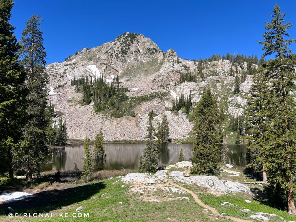
Below Mt.Millicent!
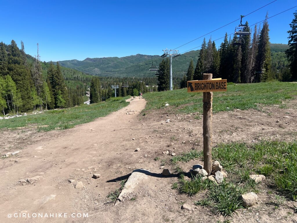
Once you hike past the Brighton Lakes, you’ll follow this very populated and well-traveled trail down to the Brighton Ski Resort entrance. I probably passed 100 people on just this section of the trail alone. I was very surprised to see many people carrying beach towels up, and even one dog. I’m hoping that they people carrying beach towels up came to sunbathe, and not swim, and the guy with the pug dog, well, he knows he was breaking the law.
Once back at Brighton Ski Resort, find your way back to your car. Since I parked at the Solitude Nordic Center, I had to walk back on the road for about 5-10 minutes.
Trail Map
My track via Gaia GPS – the best tracking app! Get your app here for a discount.
Nearby Hike

Save me on Pinterest!
![]()