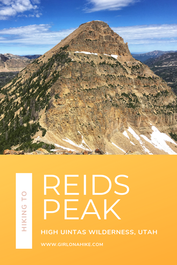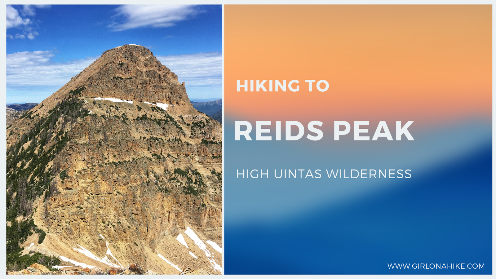
Reids Peak (11,708 ft) is located in the High Uintas Wilderness, just off the Mirror Lake Highway. While its neighbor peak, Bald Mountain, see hundreds of hikers each summer, less than 50 people will make the Reids Peak summit each year, and for good reason. There is no trail to the summit and requires light scrambling, so it’s not a good peak for the average/newbie hiker. Typically, only experienced peak baggers are the ones looking to make the summit, and knowledge of route finding will make this hike successful.
About Reids Peak
Although Reids Peak offers no technical climbing, it does require off-trail experience and confidence on steep terrain. I hiked this route solo and never felt unsafe. I followed faint paths and cairns that guided me up the mountain. The main challenge was the elevation—starting at over 11,000 ft and climbing another 700+ ft makes for a slower pace.
Dogs are allowed, but this hike isn’t for all pups. Your dog should be comfortable navigating over large boulders, steep sections, and possibly need occasional assistance. I boosted Charlie up about 2–3 times, but he handled the descent on his own. Only consider bringing children if they are experienced peak hikers.
Directions
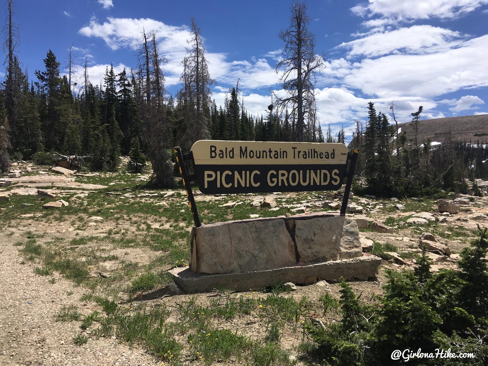
From Kamas, Utah, drive up the Mirror Lake Highway for 29 miles. Turn left at the Bald Mountain Trailhead and Picnic Area.
📍 Driving Directions to the Trailhead
Parking can fill up quickly, especially on weekends. Arrive early to beat the crowds and the summer heat.
Trail Info
Distance:
2.5 miles one way to Reids Peak
1 mile from Reids Peak to Bald Mtn
1.4 miles from Bald Mtn to TH
4.9 miles RT to complete the loop I did
Elevation gain: 1,157 ft
Time:
My time stats were 2 hours to Reids Peak, and 3.5 hours RT to complete the loop
Dog friendly? Yes, off leash.
Kid friendly? No
Fees/Permits? The Mirror Lake Highway charges a $6 fee for a 3 day pass. It’s free if you have an annual Mirror Lake Hwy or American Fork Canyon pass, or free if you have an annual National Park Pass. No permit is required.
Hiking Reids Peak: What to Expect
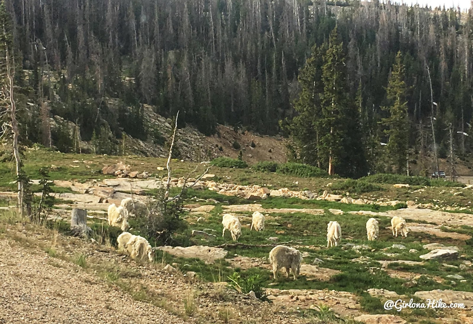
Mountain goats on my drive up!
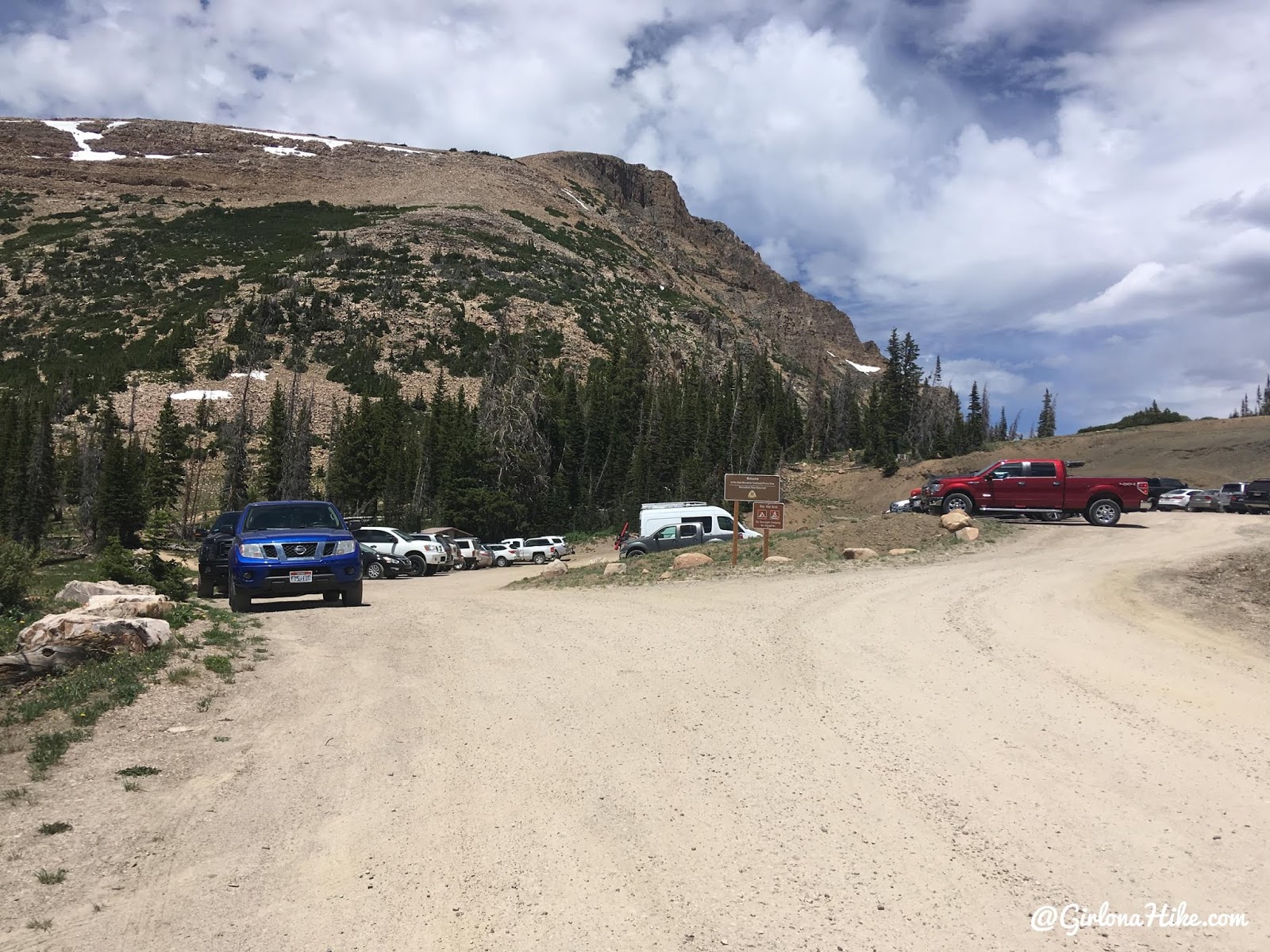
The Bald Mountain trailhead gets packed quickly, so it’s wise to start early not only to beat the heat but also find parking.
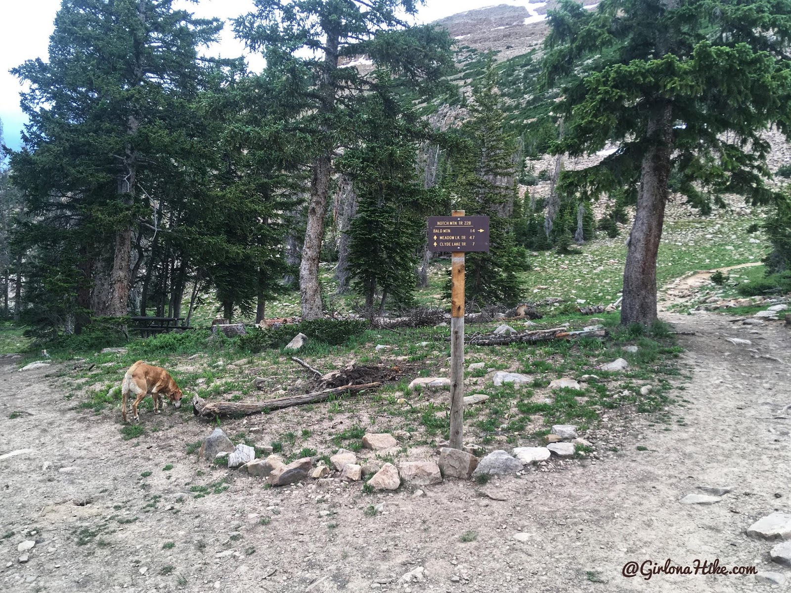
Turn left at the very first sign. Going right takes you to Bald Mountain, and if you do the loop I did, you’ll end up coming down from this side.
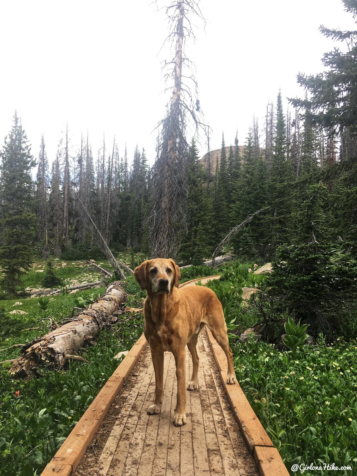
You’ll cross four bridges and will be hiking downhill.
Scrambling to the Saddle
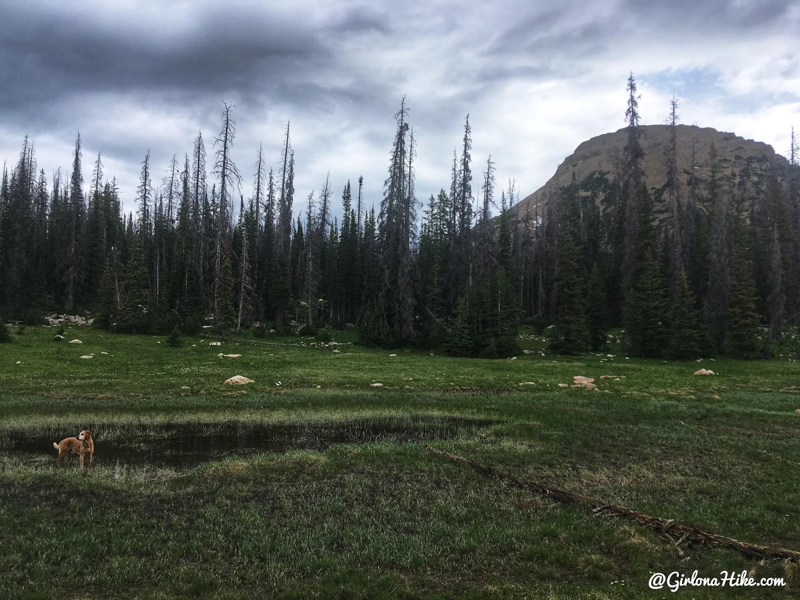
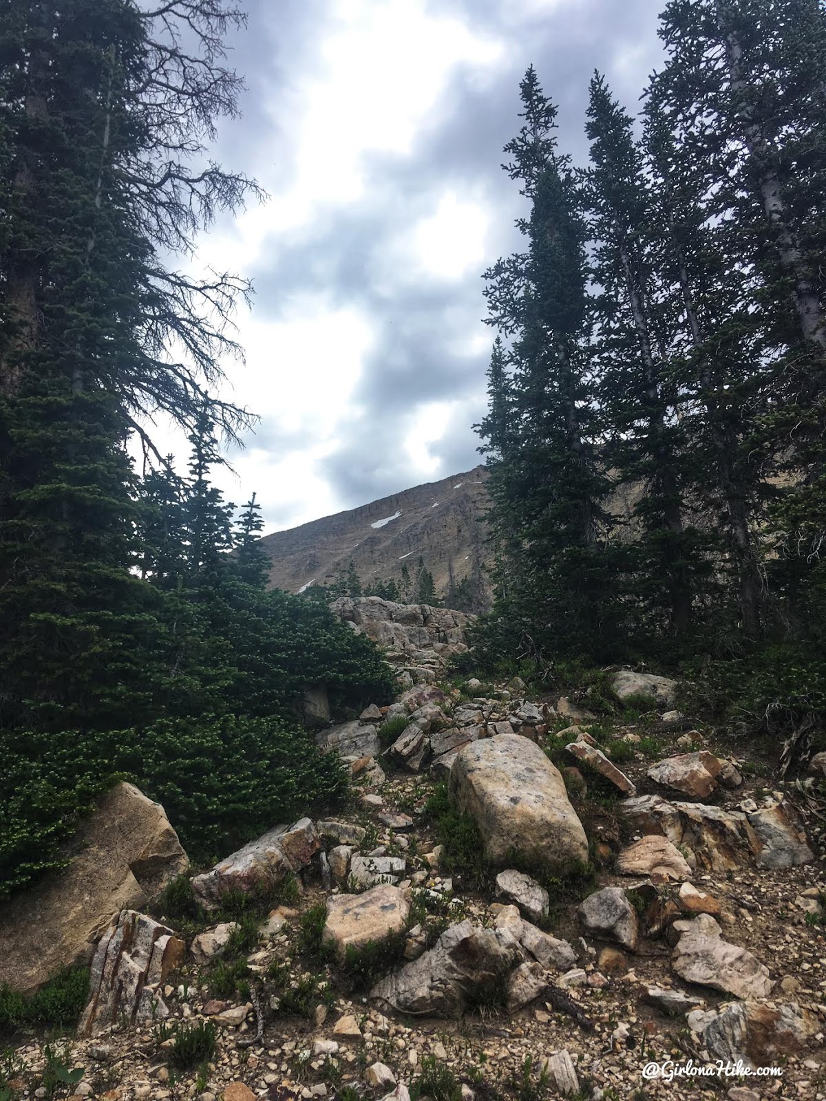
At this point, after about 0.8–1.0 miles, look for a good spot to leave the trail and begin heading toward the Reids Peak saddle. Avoid entering the large boulder field west of Bald Mountain.
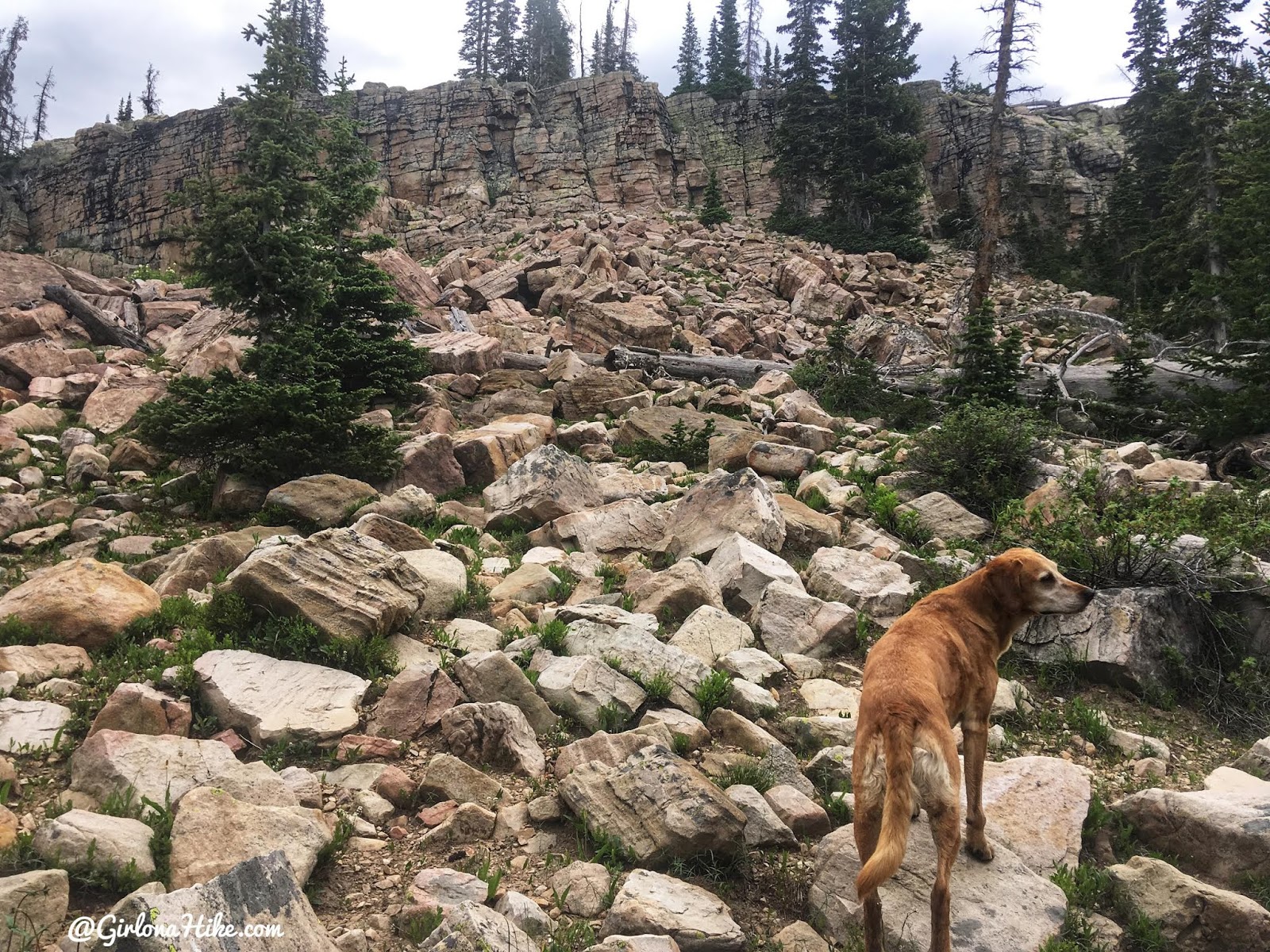
Soon after leaving the trail, I encountered my first rock band. I aimed to the right and found an easy way up. Once above that, the terrain flattens out into a basin before the final push to the saddle.
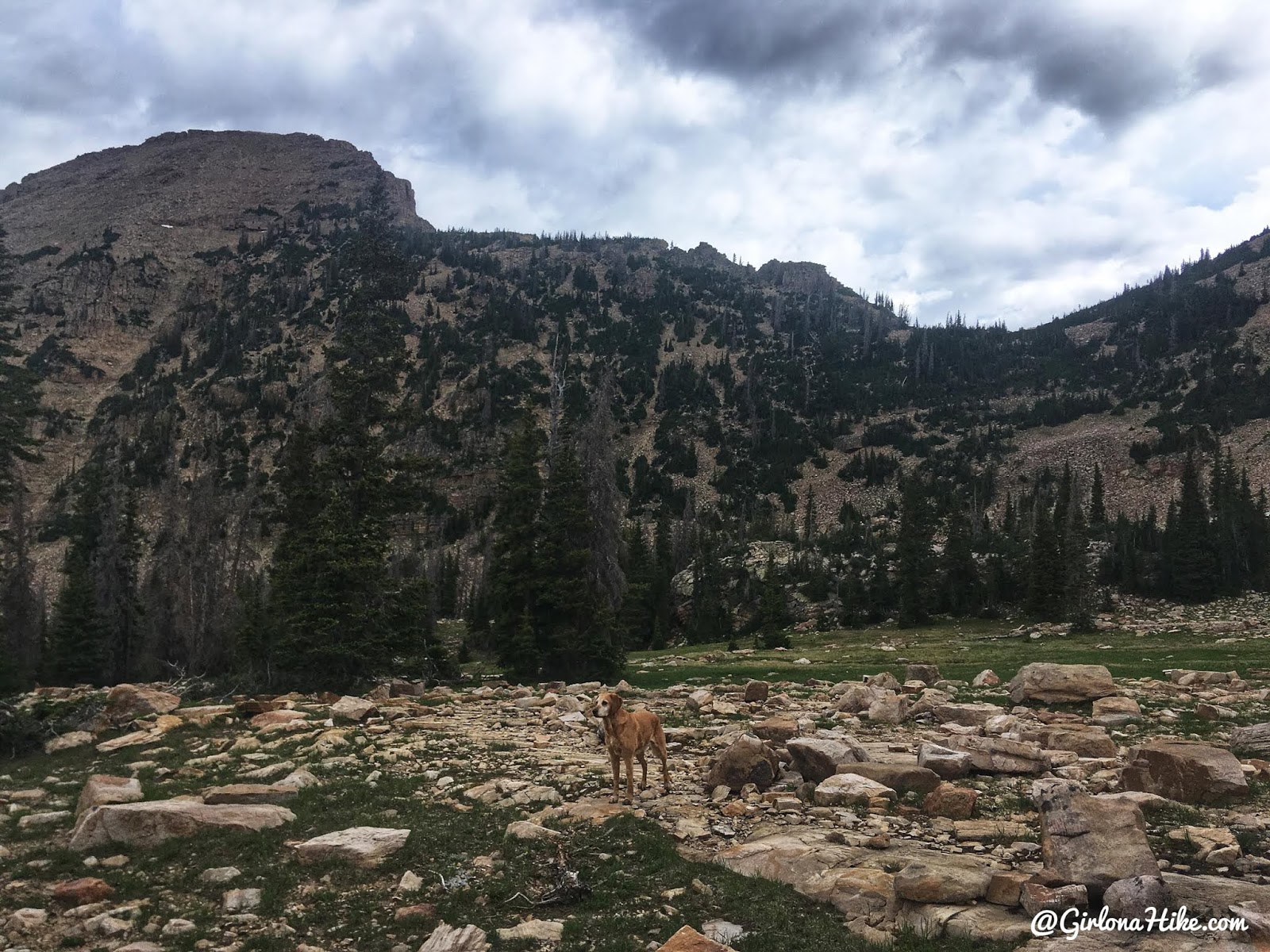
Above the rock band, with dark clouds making me nervous to get to the peak.
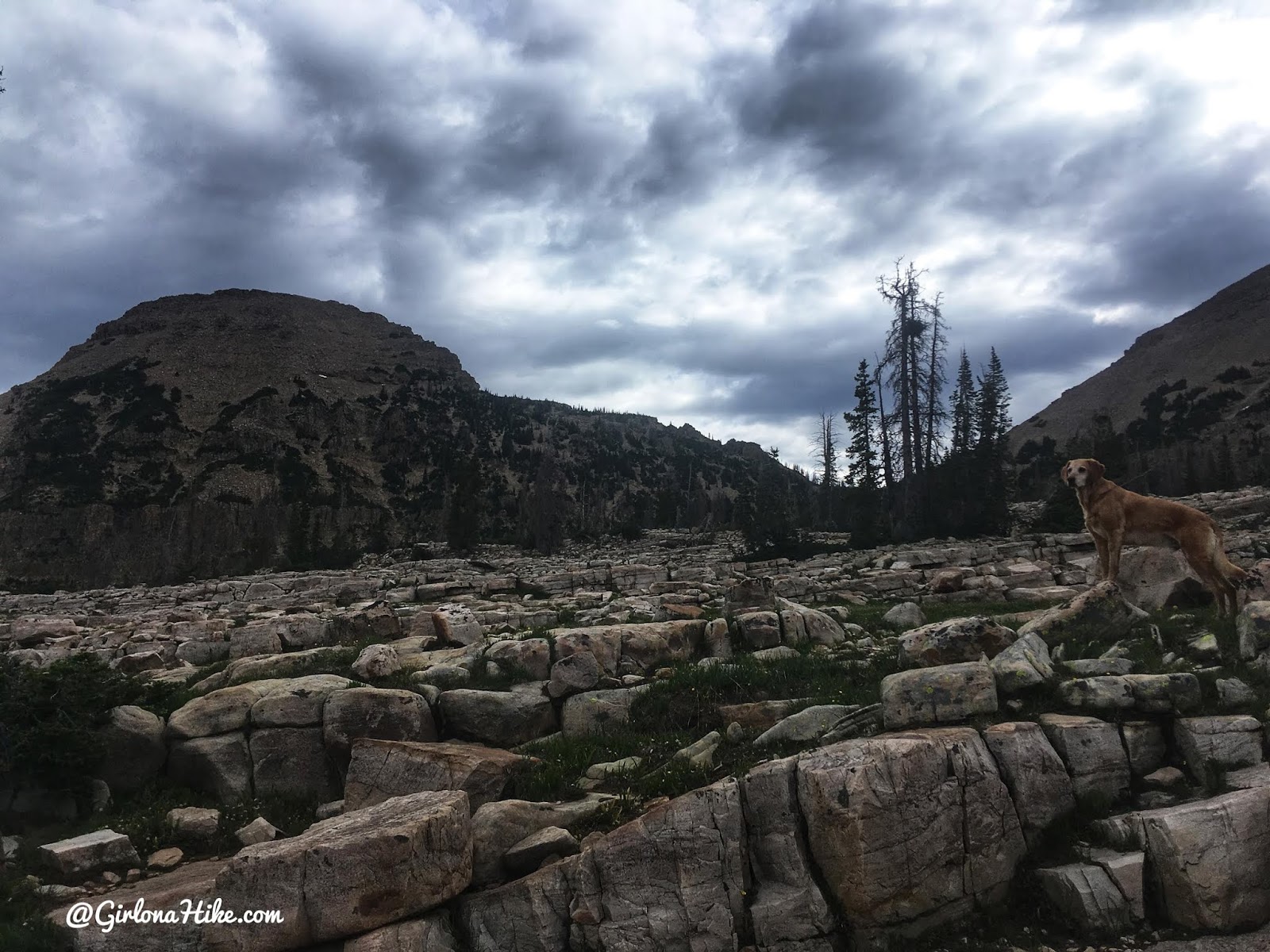
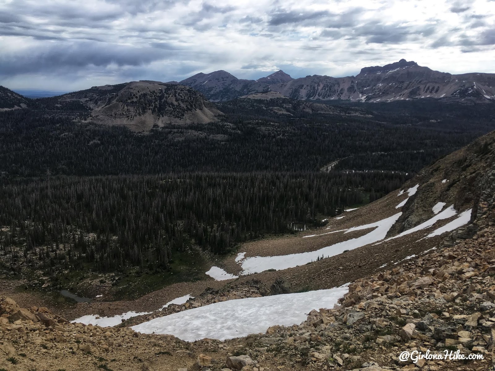
Finding more cleared pathways across the mostly flat basin.
Getting closer. It was still intimidating, but I knew as long as I took it slow I would be fine. I kept aiming towards the saddle.
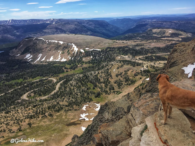
The climb to the saddle is the steepest part, with loose rock and patches of thick brush. I had to backtrack a few times to find a better route. From here, you’ll get a great view of Hayden Peak and Pass Lake Trailhead.
Climbing the Ridge
On the saddle, looking down towards the Pass Lake TH, with Hayden Peak to the right.
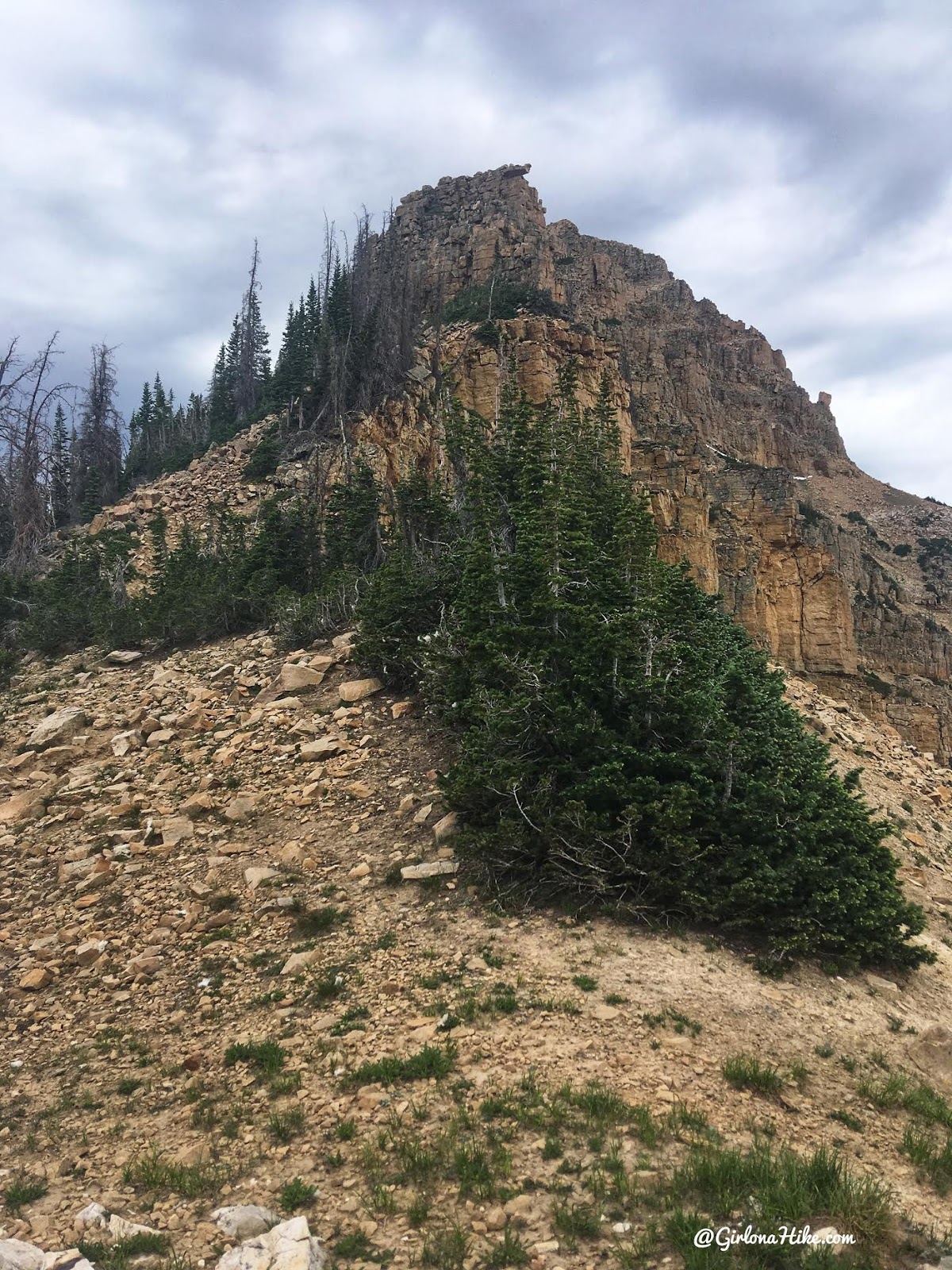
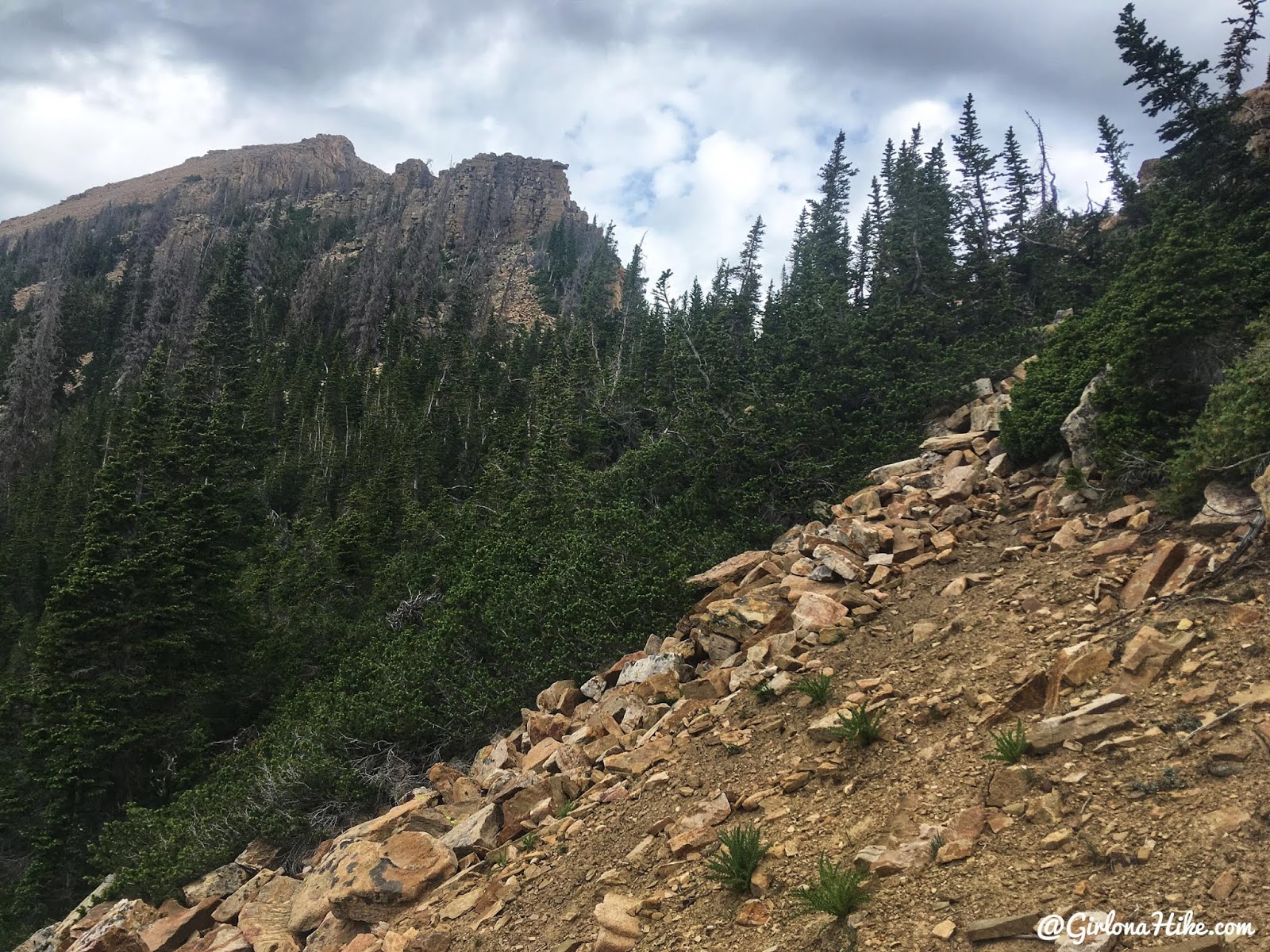
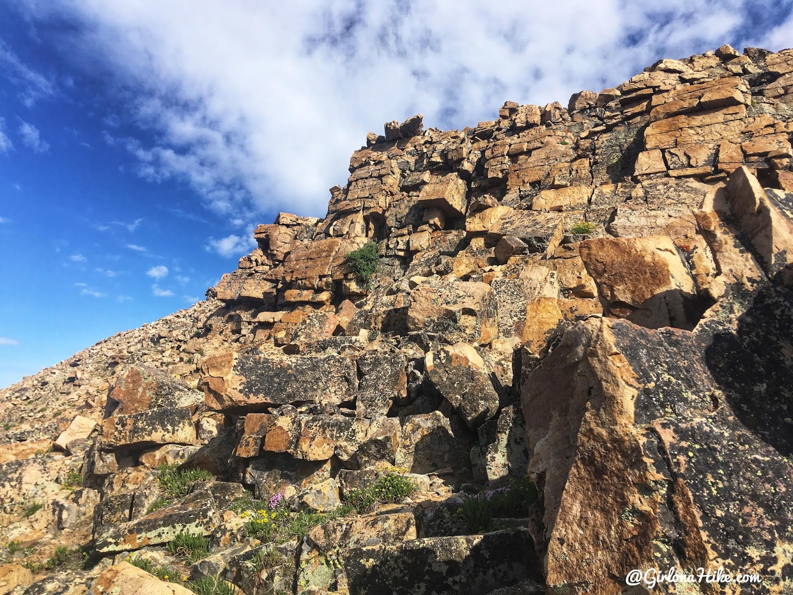
Finally, the last stretch includes standard Uinta boulders, which are easy to step up and over. I was pleasantly surprised to see cairns marking the way—definitely a confidence boost!
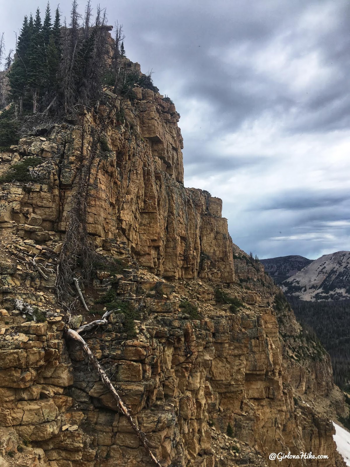
A nice look at the rock up there.
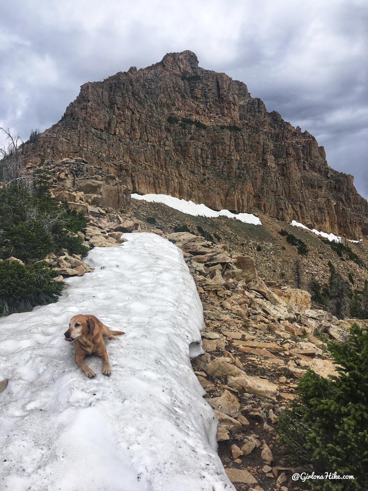
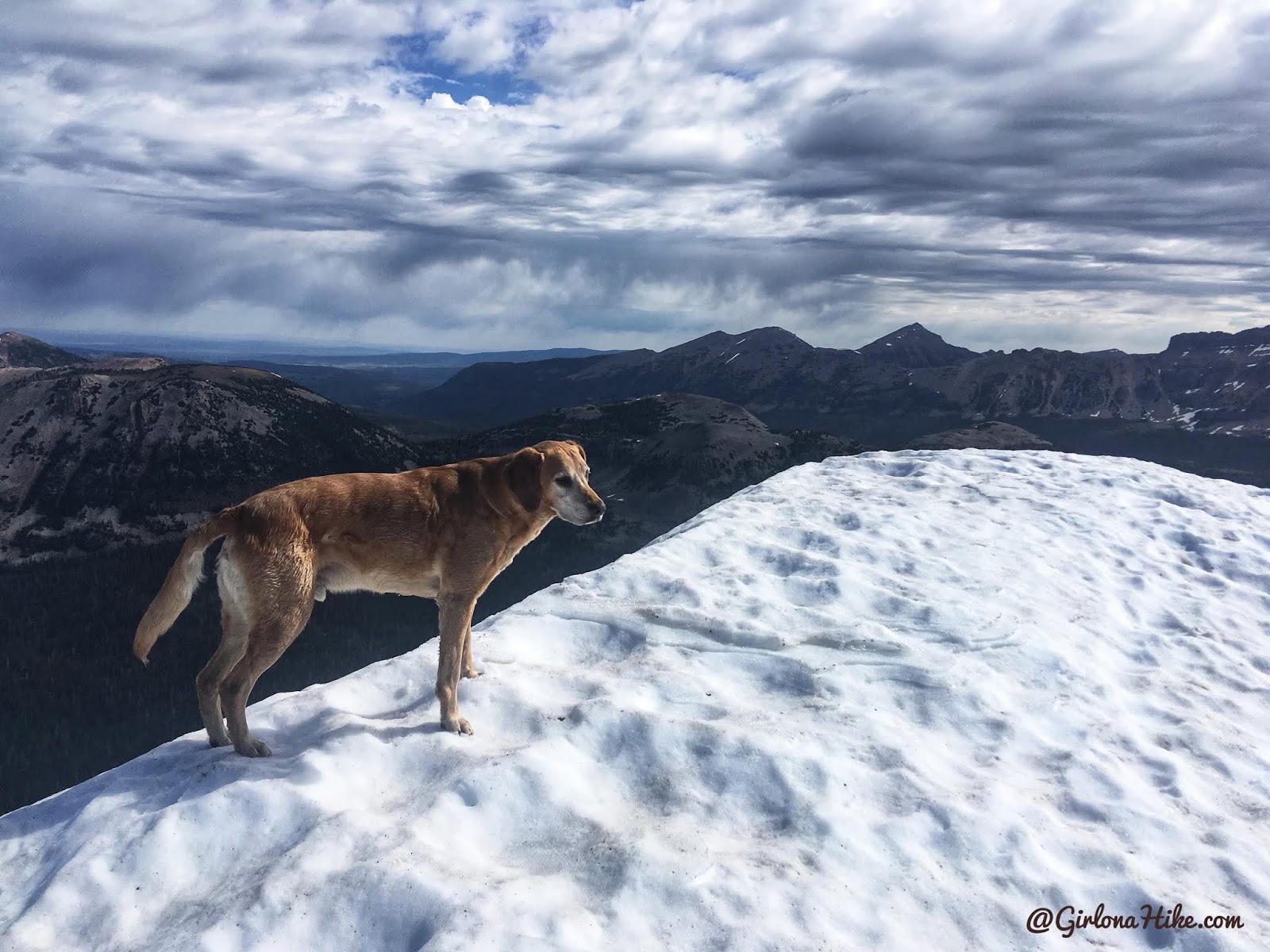
On the second small saddle along the ridge. Charlie was happy to see snow to cool off, despite it being around 60F. From here, it looked SO steep, but it’s really not that bad.
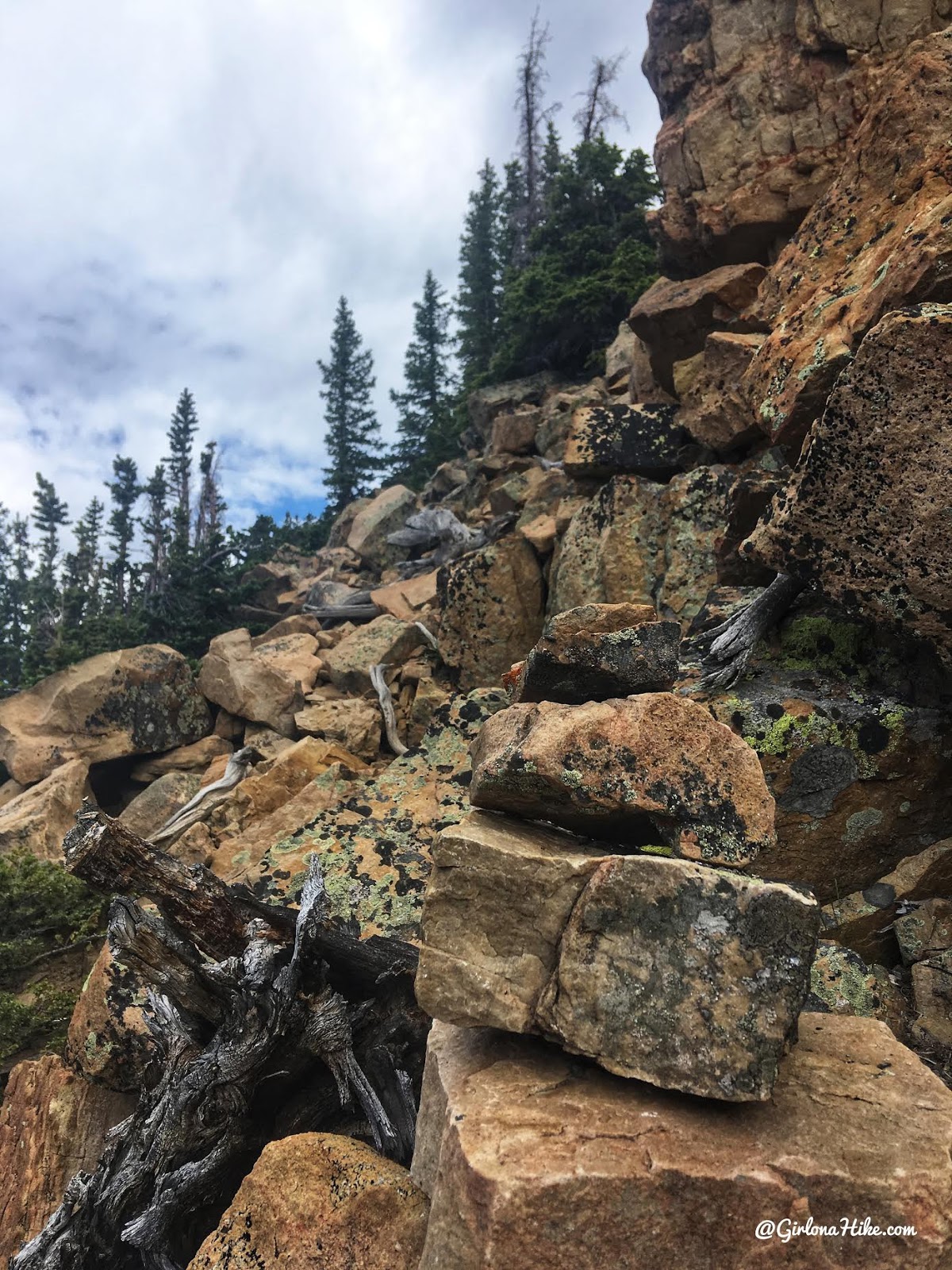
What a lot of the “trail” looks like – the typical Uinta boulders you can just step up and over.
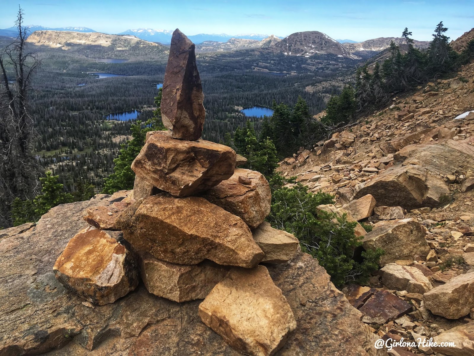
I was surprised that as I got closer to the summit I started seeing cairns. I wasn’t planning on seeing any, but it was certainly reassuring to know I was on the right path. Mt. Watson is the rounded peak in the distance.
There were maybe 2-3 sections that Charlie needed a boost on, but otherwise could do it on his own.
On the summit! I wasn’t expecting snow at the top and started to get a little bummed out that the summit register would be buried by snow.
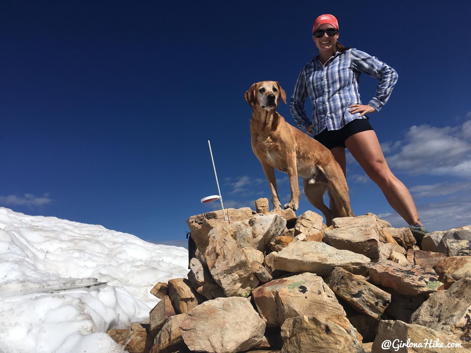
Summit Views and Register
On the summit, I found a mailbox summit register and a red-and-white light reflector.
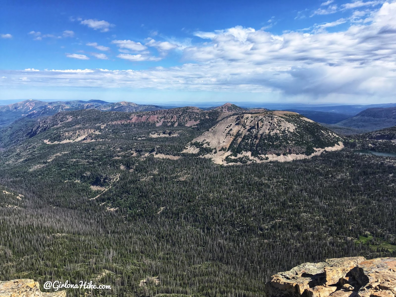
We enjoyed the views of Mt.Marsell, and Cuberant Lake area.
Bonus: Traverse to Bald Mountain
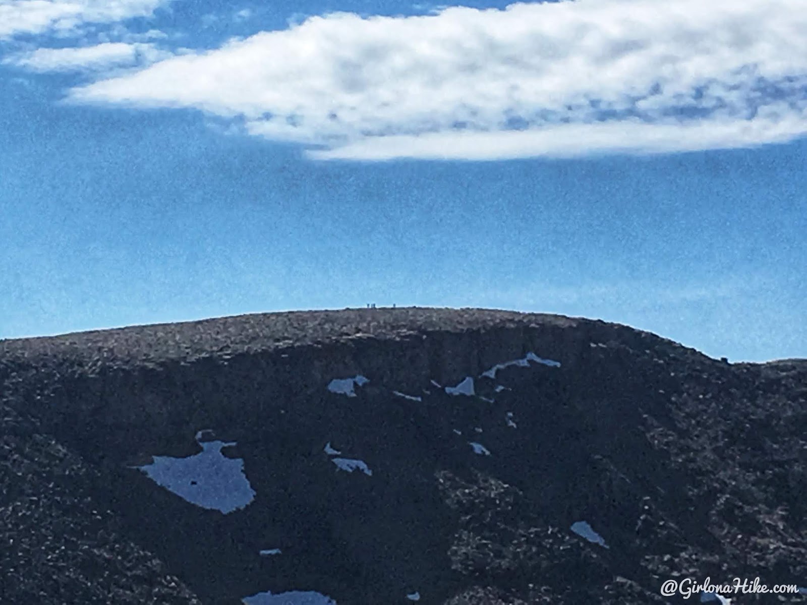
As I zoomed in with my camera I could see people on the Bald Mountain summit.
After reaching the summit, I decided to continue the adventure by hiking the West Ridge of Bald Mountain. It was steeper than I expected—based on my Gaia GPS profile—but manageable with water and breaks.
Approaching the summit, I could see about 30 people enjoying the view. I’m sure they were wondering where I had come from!
To wrap up the hike, we followed the standard Bald Mountain trail down to complete a loop—roughly 5 miles total.
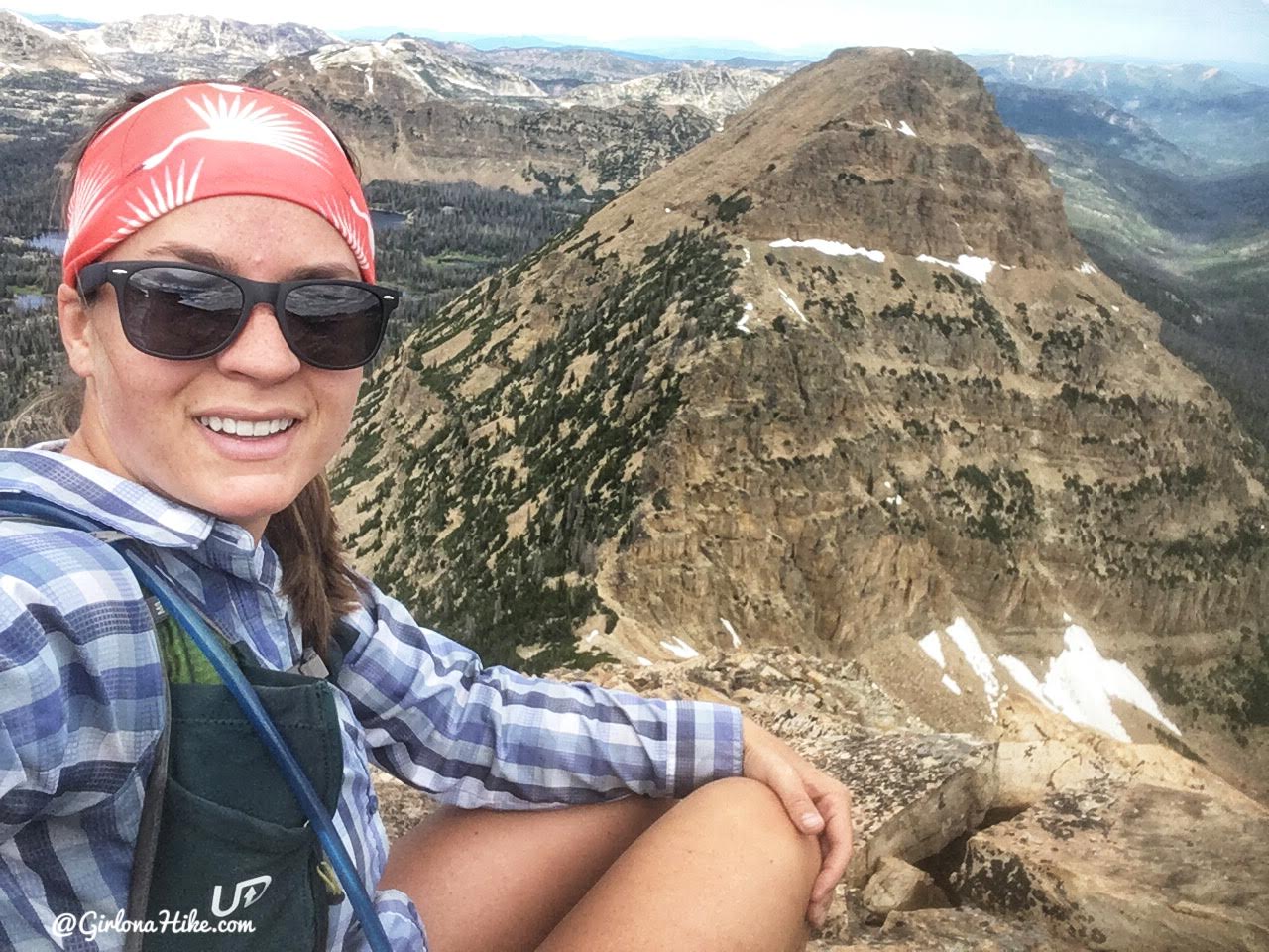
Halfway up the West ridge of Bald Mountain. After looking back at my steepness profile on Gaia GPS, I could see that it was quite a bit steeper. And I felt it – I had to take several breaks just to catch my breath and take a sip of water. I was by myself and that actually made me feel better, so that I didn’t feel rushed with friends to try and keep up. I hike a lot, but I’m not fast by any means!
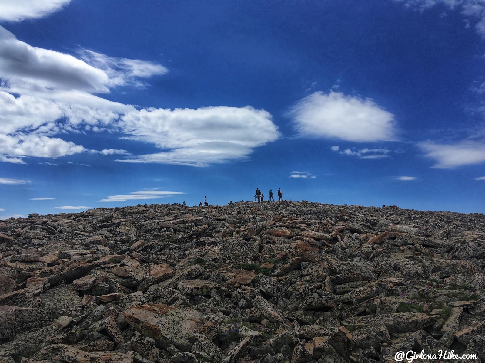
Approaching the over populated Bald Mountain. I bet they were wondering, “Umm, where did you come from?” LOL! There were close to 30 people up there.
Once we reached Bald Mountain, we followed the actual trail back down to the car, creating a big loop close to 5 miles and 1900 ft elevation gain.
But wait, there’s more….after we completed this loop Charlie and I then bagged Murdock Mountain and the Murdock West Slope (Wasatch County High Point)!
Trail Map
My route for the day. I hiked up Reids Peak first, went back down to the saddle, up the West ridge of Bald Mountain, then down the Bald Mountain trail, making a clockwise loop back to my car. Get your app here for a discount.
Nearby Hike Recommendation

Save me on Pinterest!