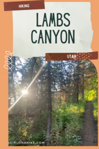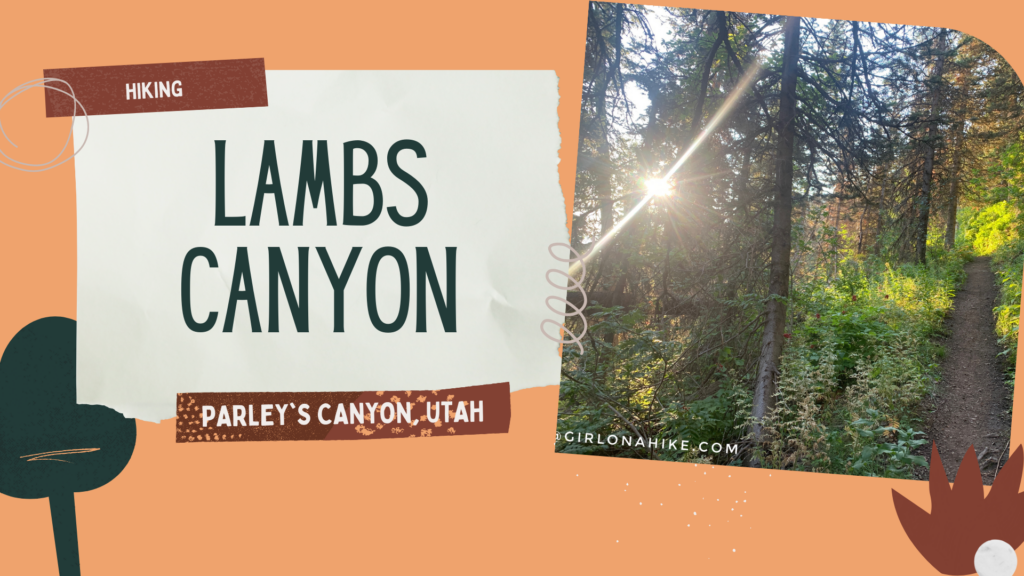
Lambs Canyon is located off I-80 after passing through Parley’s Canyon, but before you reach Jeremy Ranch. Lambs Canyon is part of the county Watershed, and therefore, dogs are not allowed. There are multiple signs saying no dogs, and there was even a county sheriff patrolling the area as well, so don’t even attempt to bring them up here. It’s a bummer to leave dogs at home, but every once in awhile I want to do a hike that Charlie can’t.
About
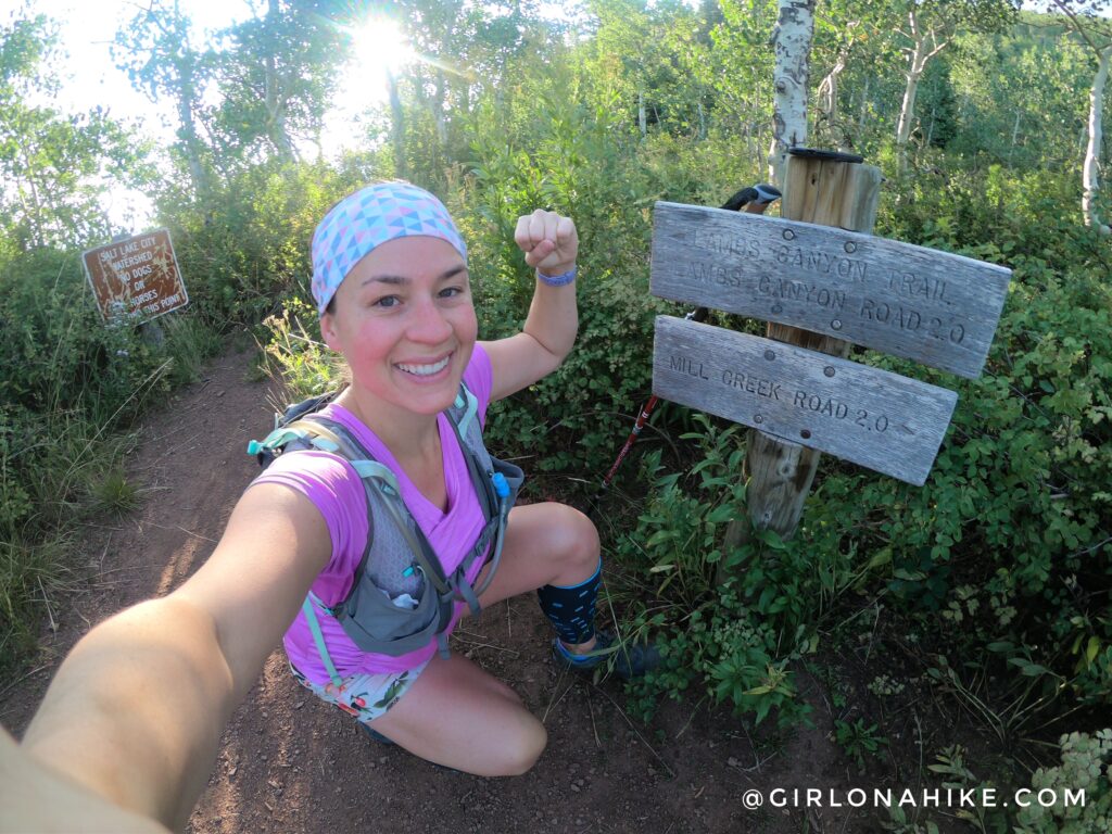
After approximately 2 miles, you’ll reach the ridgeline and Lambs Canyon Pass, where the trail connects with Millcreek Canyon. Most hikers turn around here and retrace their steps back to the trailhead. However, for those looking for a longer adventure, you can continue down into Millcreek Canyon and finish at Elbow Fork. This option requires a vehicle shuttle between trailheads.
If you’re planning the through-hike, keep in mind that the Millcreek Canyon road typically does not open until July 1. Before the seasonal opening, you’ll need to add approximately 1.5 miles of hiking along the road or the Pipeline Trail to reach Elbow Fork.
Lambs Canyon is best hiked from late spring through fall. Due to significant avalanche terrain and winter road closures, this trail is not recommended during the winter months.
Directions
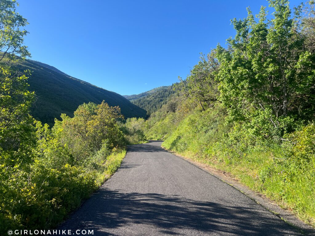
From SLC, head east on I-80 and take the exit for Lambs Canyon. At the stop sign, turn right, and drive 1.5 miles south until you reach the trailhead. Restrooms are available. This road is typically closed during winter, and reopens mid-June through mid-October. Here is a driving map.
Trail Info
Distance: 4 miles RT (to the ridge and back)
Elevation gain: 1,400 ft
Time: 2-4 hours
Dog friendly? No, dogs are not allowed on this trail
Kid friendly? Yes
Fees/permits? None
Getting Started on the Lambs Canyon Trail
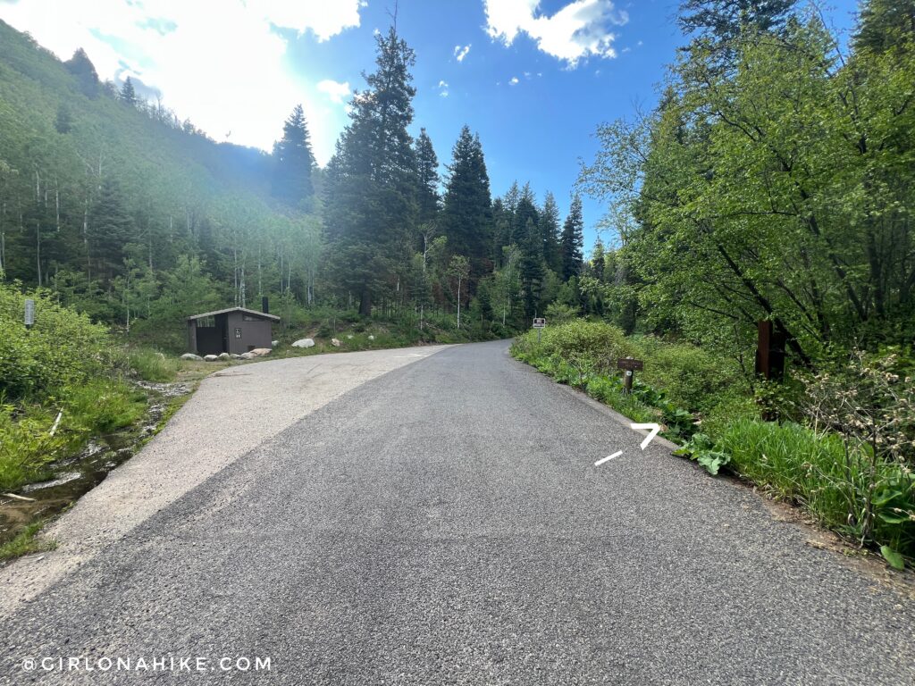
The official TH sign is on your right, and parking is on the left. Only about 4 cars can fit here.
Shaded Forest Hiking
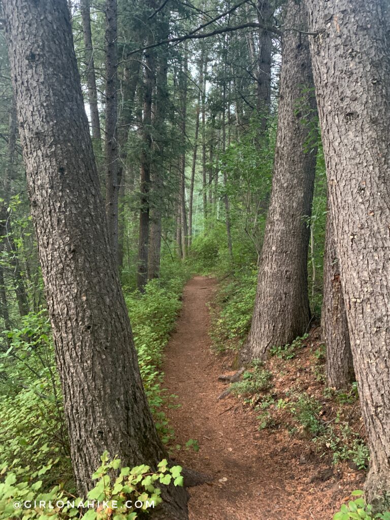
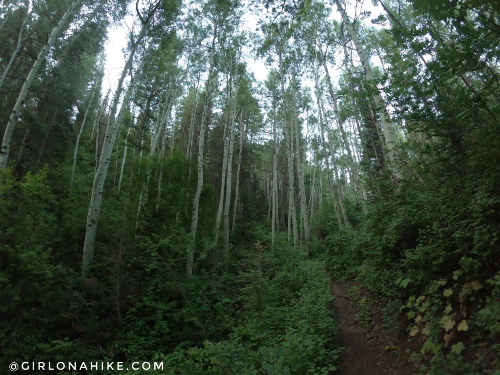
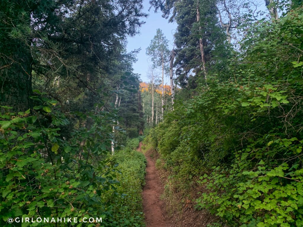
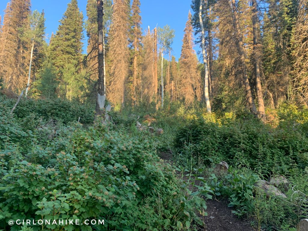
The Lambs Canyon Trail begins with a pleasant, shaded climb through a forest of pine and aspen trees. This lower section stays relatively cool, making it an excellent summer hike near Salt Lake City.
After a short distance, the trail turns west and begins climbing more directly toward the ridge. While portions of the trail are shaded, several sections become exposed to the sun. I highly recommend starting early in the morning, especially during summer months, to avoid the afternoon heat.
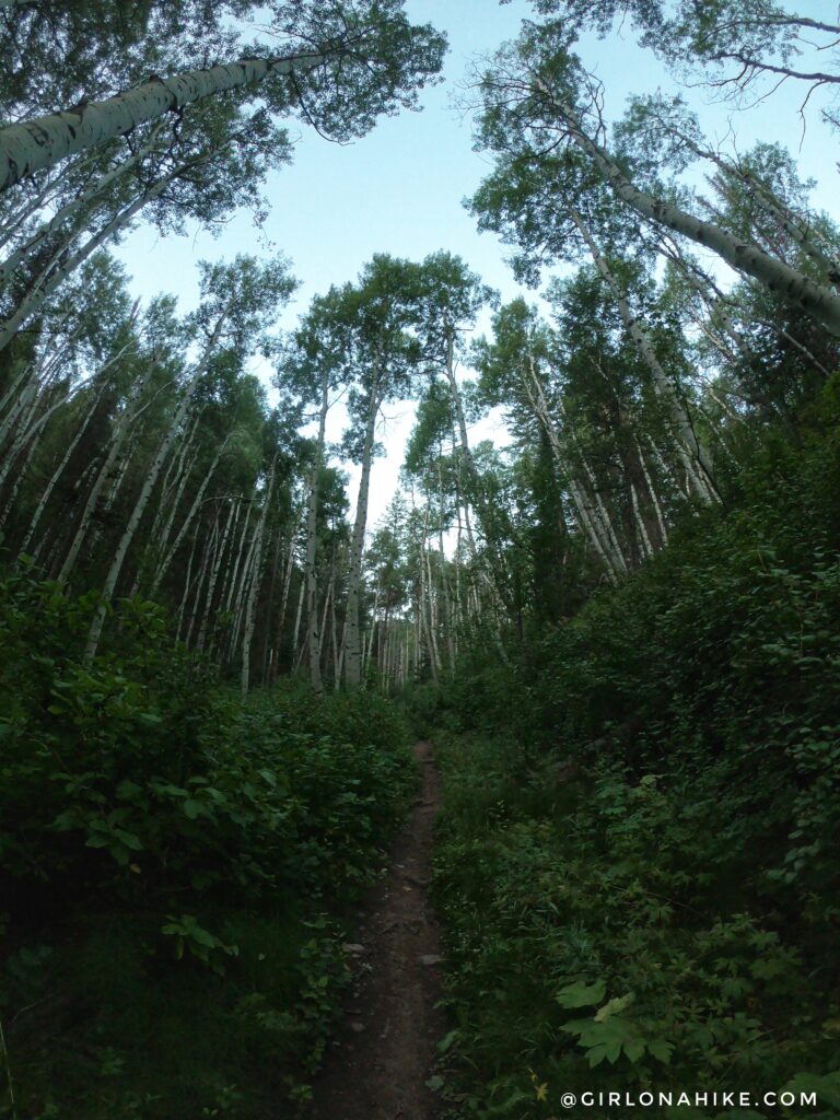
Tall pine trees lined part of the trail.
Wildflowers and Thimbleberries
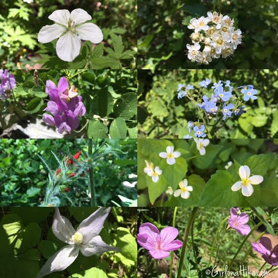
During summer, the trail is lined with a variety of wildflowers. I counted at least eight different species blooming during my hike, adding plenty of color to the mountainside.
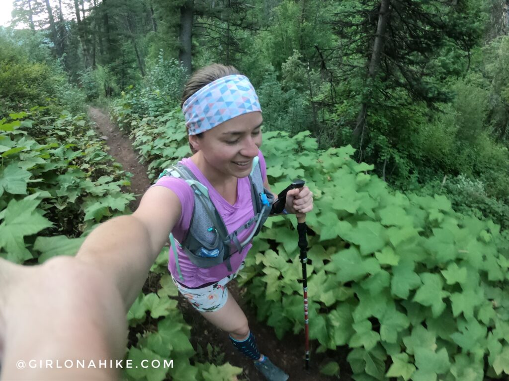
Sections of the trail are slightly overgrown, but not so much you need to wear pants.
At 0.6 miles, reach the first switchback.
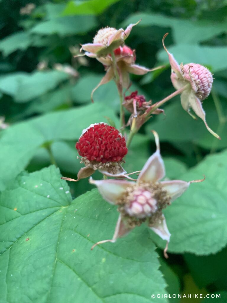
Thimbleberries were beginning to bloom along the trail. These edible berries ripen later in the season and have a soft texture with a mildly tart flavor.
The trail is very gradual in sections – almost flat.
Climbing to the Ridge
Sun’s coming up!
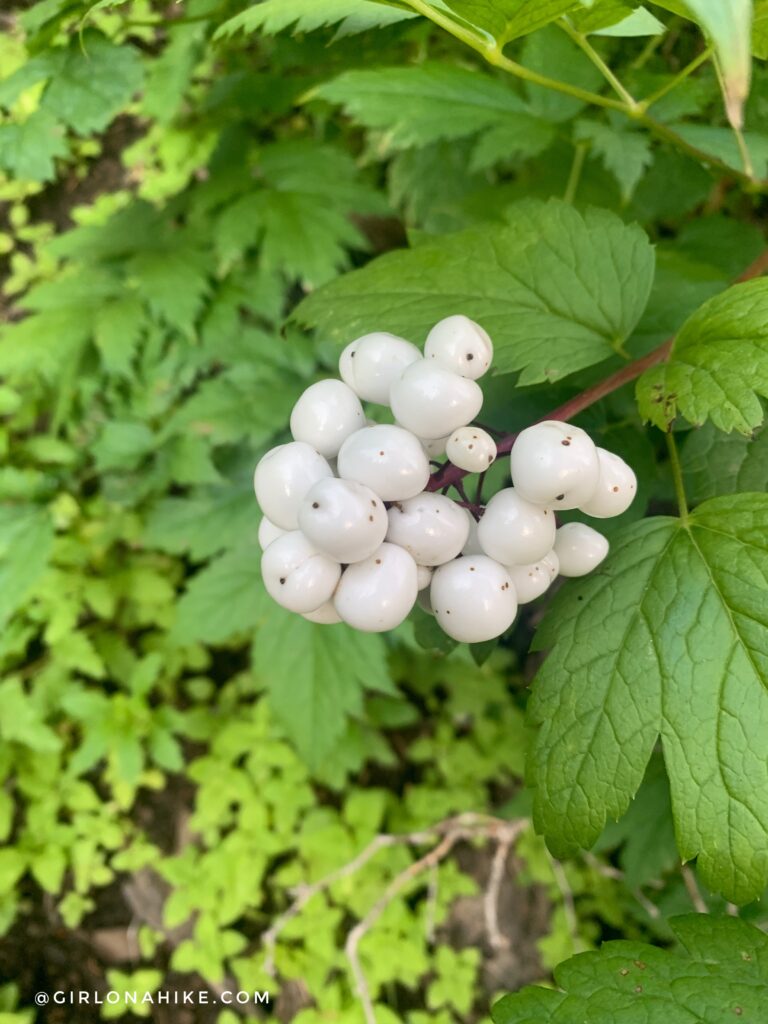
My best guess is that these are Snowberries!
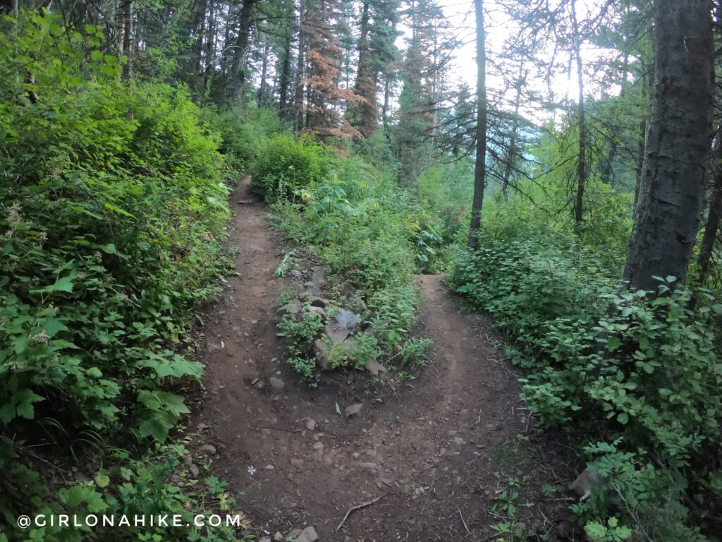
Around 1.5 miles, the Lambs Canyon Trail becomes noticeably steeper and rockier. This section contains several switchbacks as you gain elevation toward the ridge.
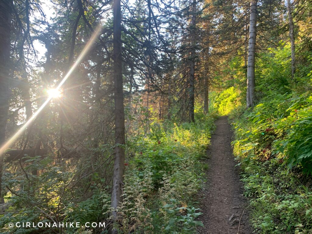
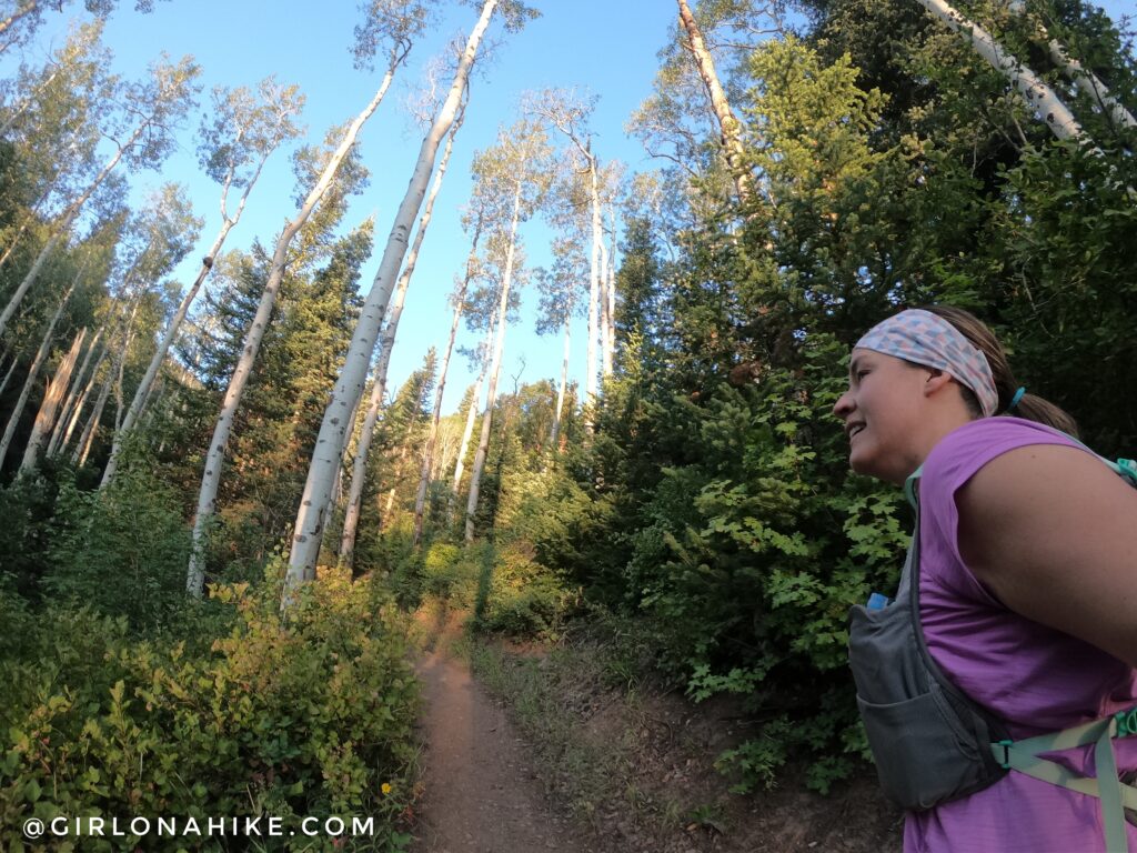
Ahh, I love sunrise hikes! The temps were so much cooler and I only saw a handful of people on a Sunday morning.
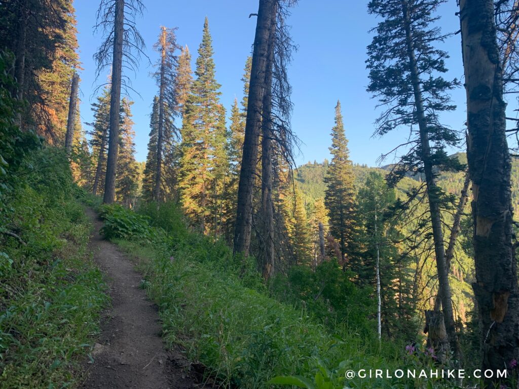
After several more switchbacks, the trees begin to thin and views open up across Lambs Canyon and the surrounding Wasatch Mountains.
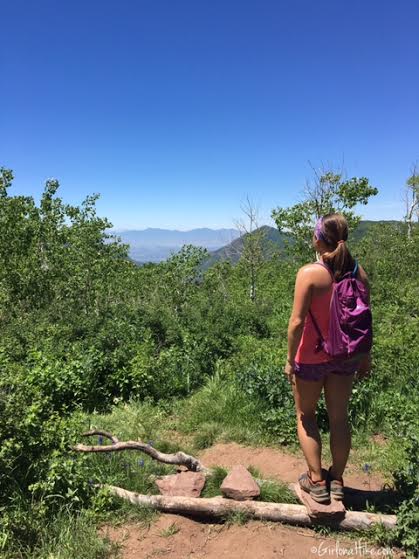
Reaching the ridge is the highlight of the hike. On a clear day, you’ll enjoy sweeping views of the Wasatch Front, the Oquirrh Mountains Grandeur Peak , and the surrounding peaks above Salt Lake City. Visibility can vary significantly depending on seasonal wildfire smoke and air quality conditions. This is what you’ll see on a clear day (back in 2016!).
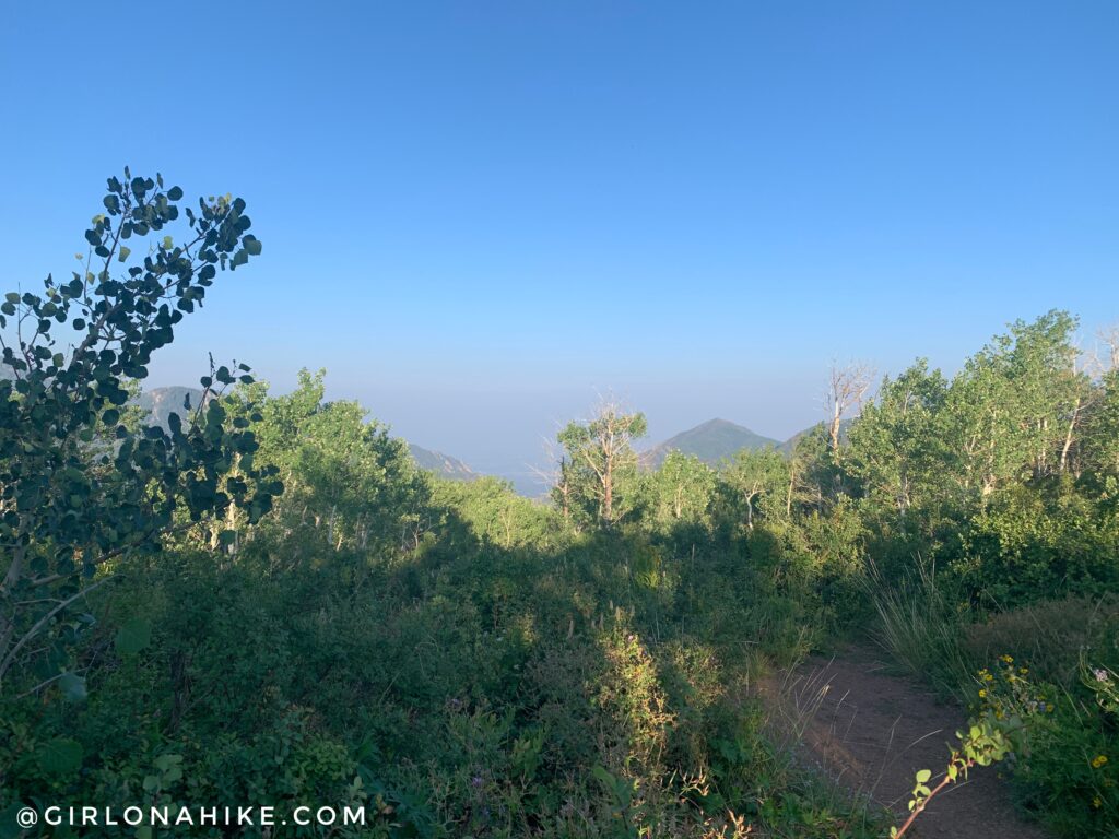
On a smoky/hazy day (2021), you can’t see nearly as far. Yuck!
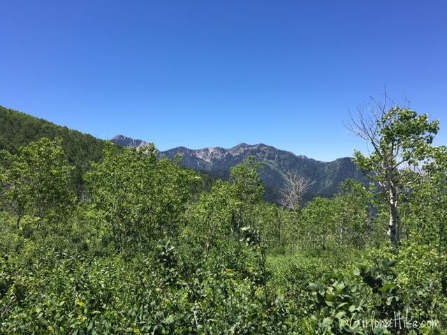
Looking a little more south, you can clearly see Mt. Raymond (the pointy peak to the left).
Crushed it! Time to jog back down.
Hiking with a dog? Another great option is reaching Lamb’s Canyon pass via Millcreek Canyon,. This alternative route offers similar views and allows dogs off leash year-round, making it a popular choice for local hikers.
Trail Map
My track via Gaia GPS – the best tracking app! Get your app here for a discount.
Nearby Hike
You can also hike to Lamb’s Canyon pass via Millcreek Canyon! This route is only 3.5 miles RT and is dog-friendly!

Save me on Pinterest!