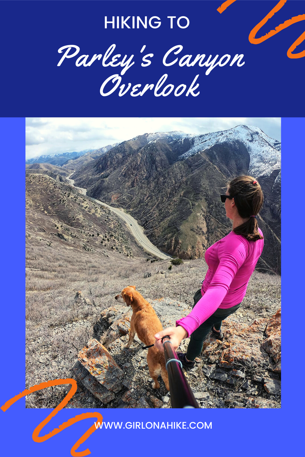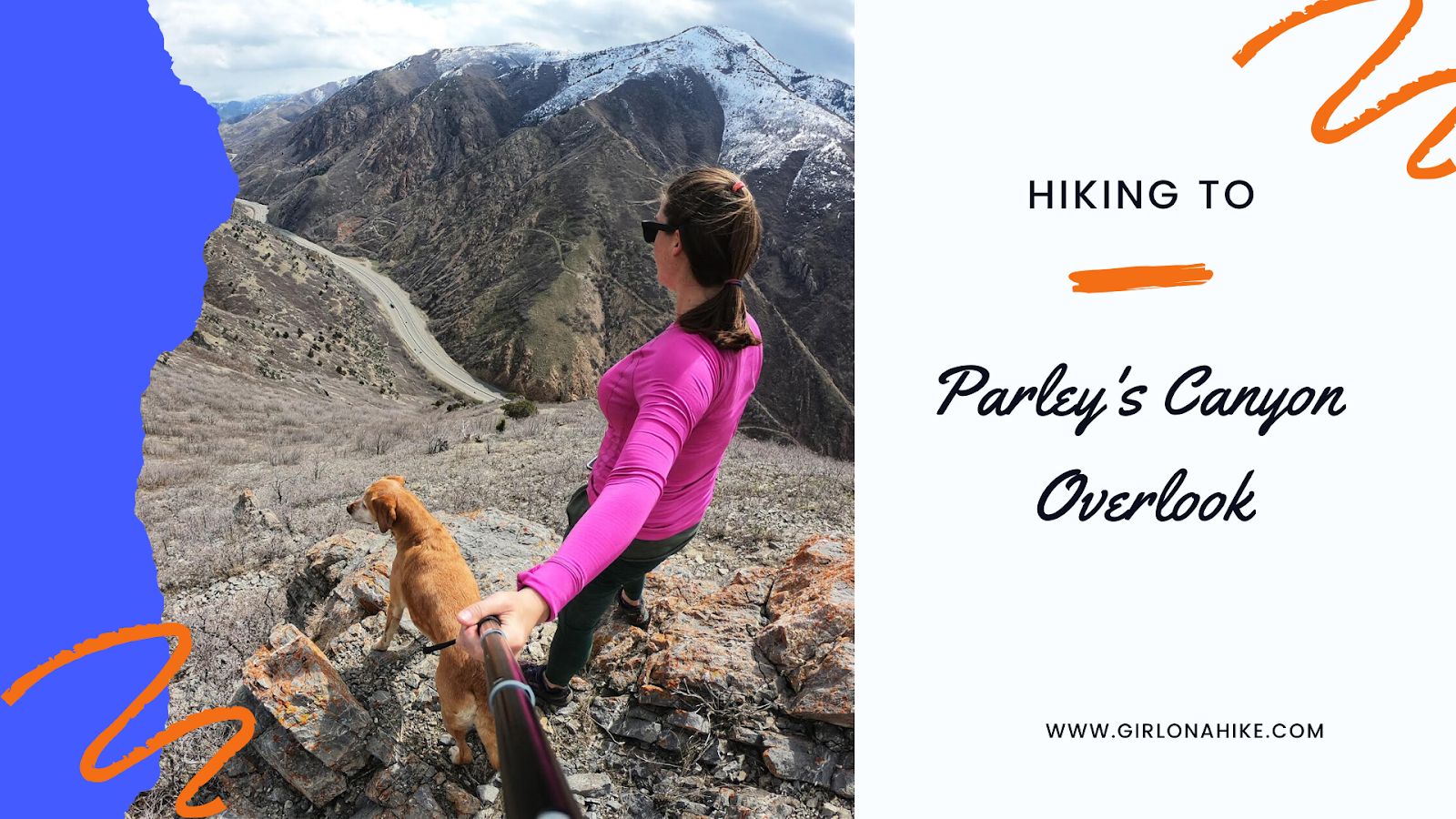
Directions to Parley’s Canyon Overlook
From I-215, head north on Foothill Drive, then turn right on 2100 S. Next, turn right on Lakeline Drive, and then left on Benchmark Drive. Although it says “Dead End,” continue driving.
⚠️ As of November 2022, there’s a new gate. You cannot park at the trailhead anymore due to private property concerns. Park just before the new gate.
👉 Click here for driving directions to the gate
Trail Info
Distance:
Main trail: 0.8 miles one way
South Trail: 0.8 miles one way
North Ridge: 1.4 miles one way
Elevation gain:
Main trail: 990 ft
South Trail: 1,007 ft
North Ridge: 1,060 ft
Time: Roughly an hour RT
Dog friendly? Yes, off leash
Kid friendly? No, due to steepness
Fees/Permits? None
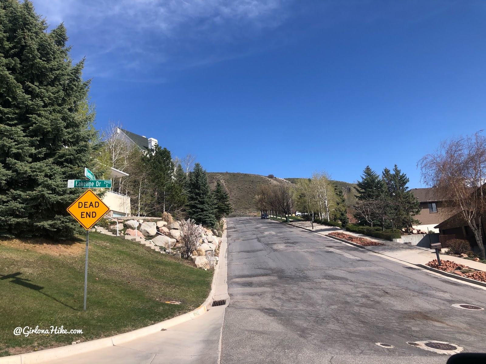
Turning left on Benchmark Drive, you will see a dead end sign.
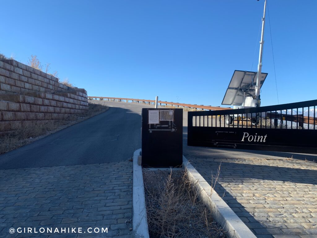
You will need to park just before this gate – you are no longer allowed to park at the actual TH.
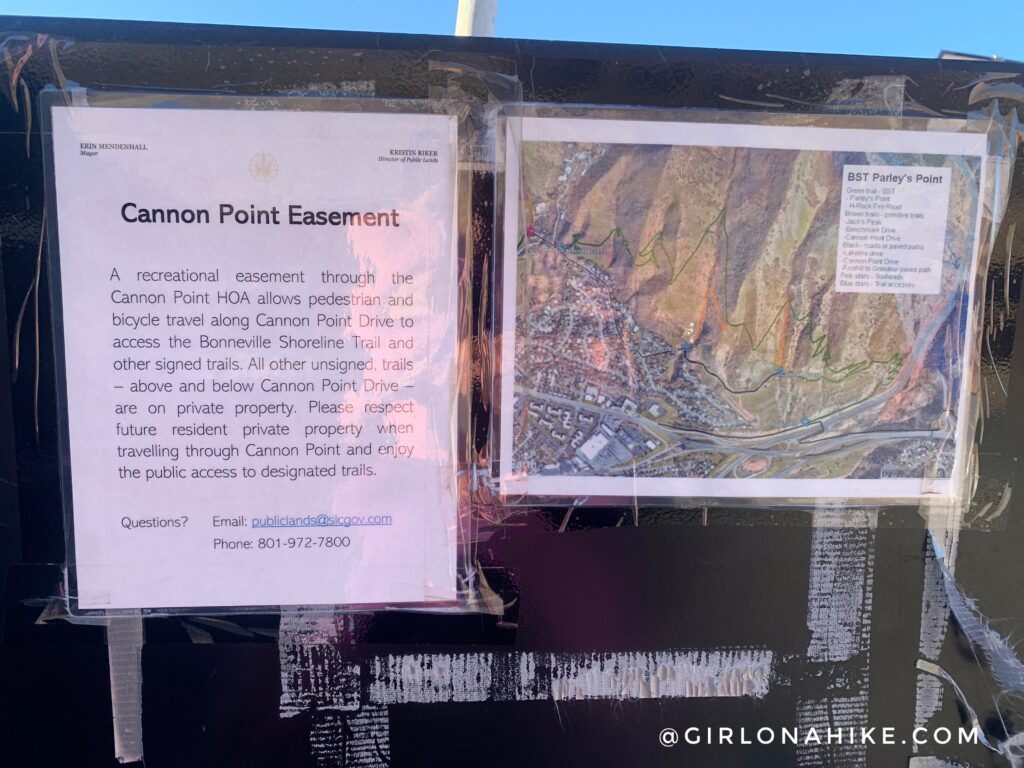
This is a public easement so you can still walk or bike the rest of Benchmark Road, but again, no driving/parking.
Starting the Hike
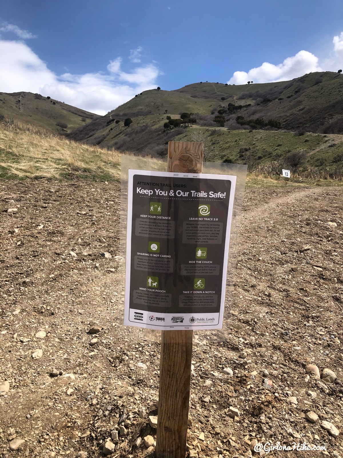
The sign “recommends” keeping dogs on leash but it is not required. However you should always have a leash handy in case you see wildlife or hike by other dogs that are leashed.
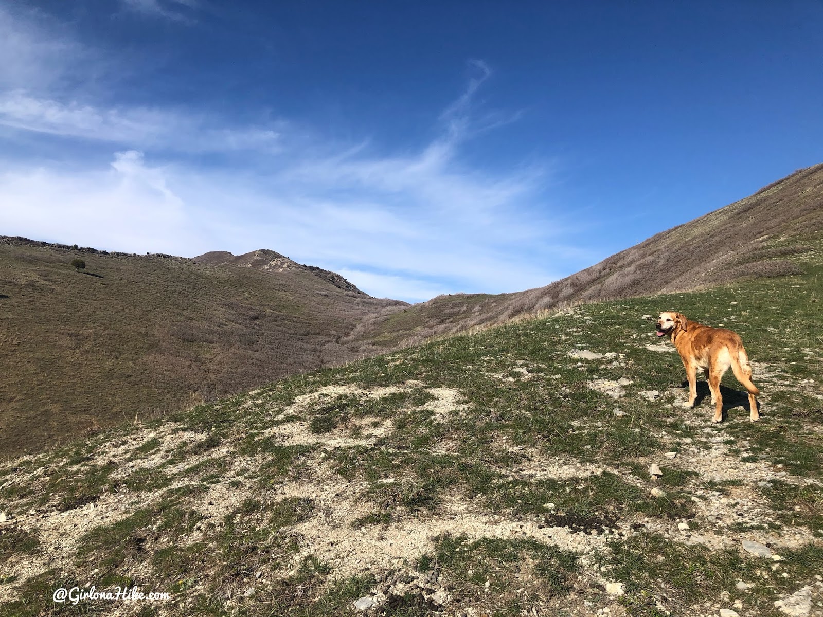
Start by hiking up the main trail. Initially, it dips down before climbing again. Along the way, the trail remains quite wide.
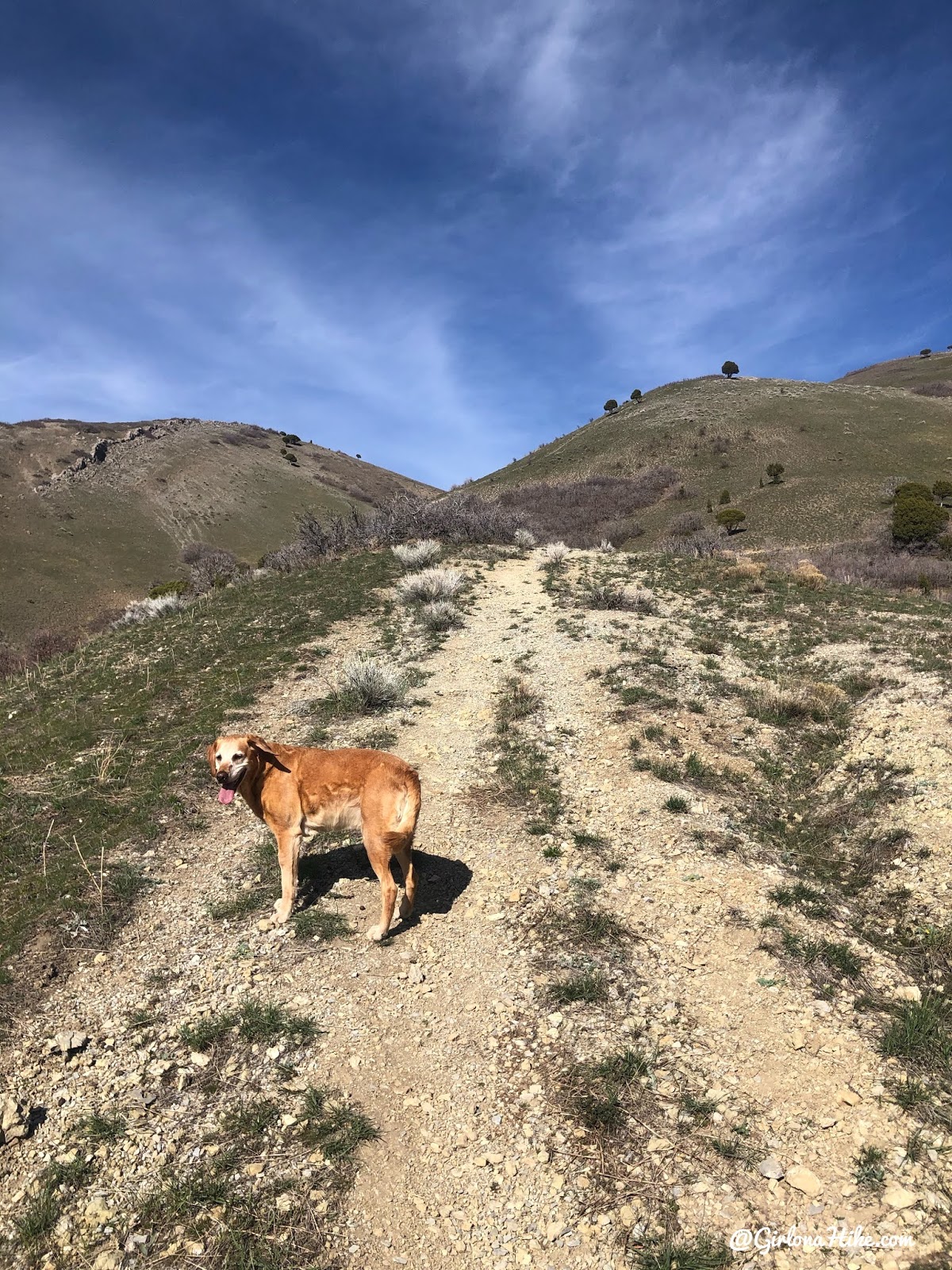
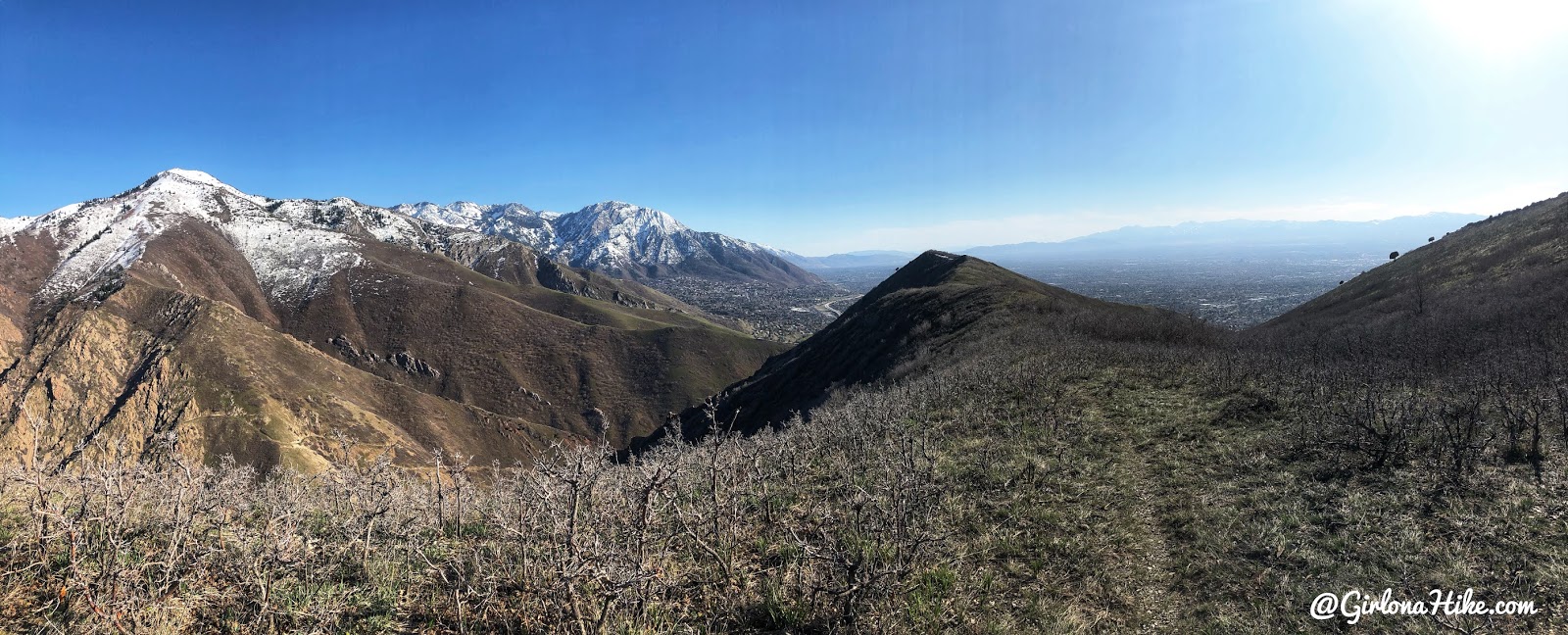
The entire hike you will be hiking East, along a ridge. The trail is very wide.
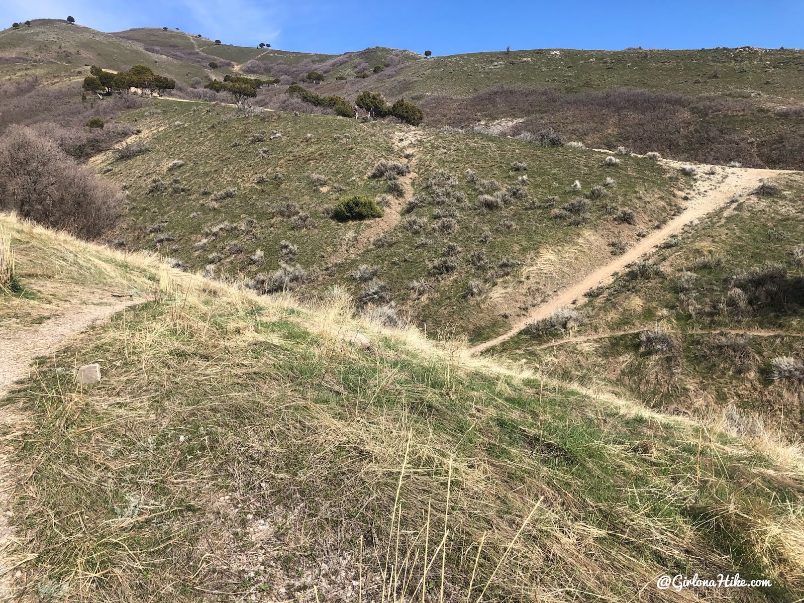
At the 0.4-mile mark, the trail splits. From here, you can go either direction, but personally, I prefer hiking left and returning via the right fork for a fun loop.
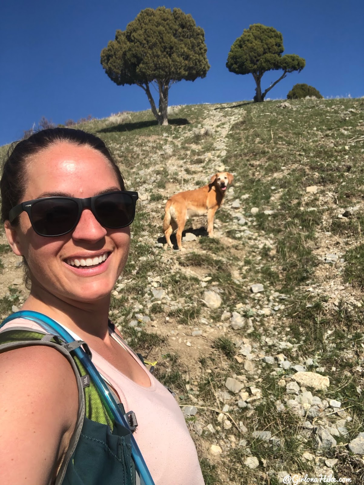
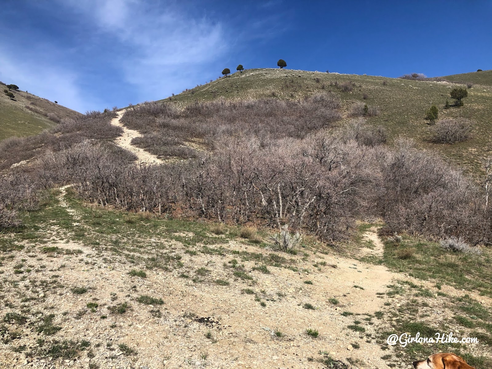
The trail gets very steep. Make sure you have good hiking shoes and a trekking pole to help. The trail takes you right between these two trees.
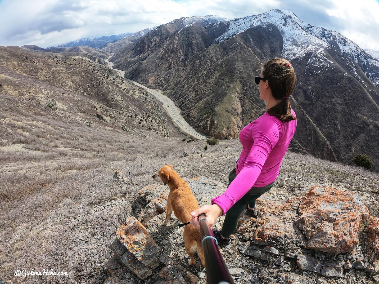
Already amazing views. See the trail just ahead? That is the other trail you can take.
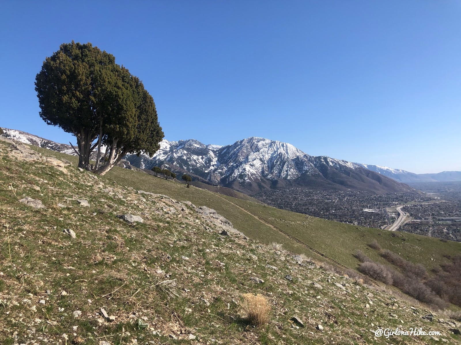
Approaching the Overlook
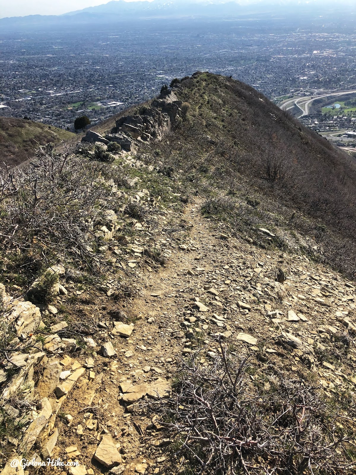
The trail levels out for a few minutes before one last push to the overlook.
Reaching Parley’s Canyon Overlook
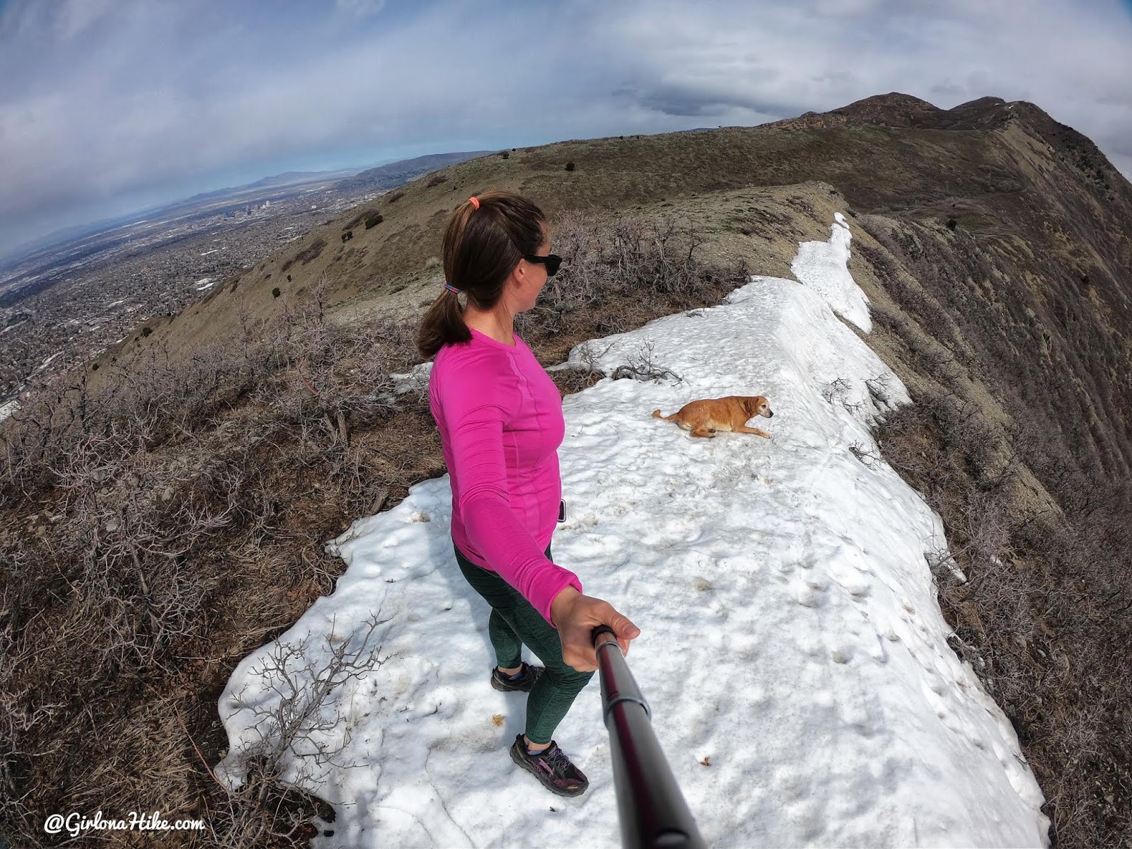
Charlie strikes a pose in the wind with Grandeur Peak in the distance.
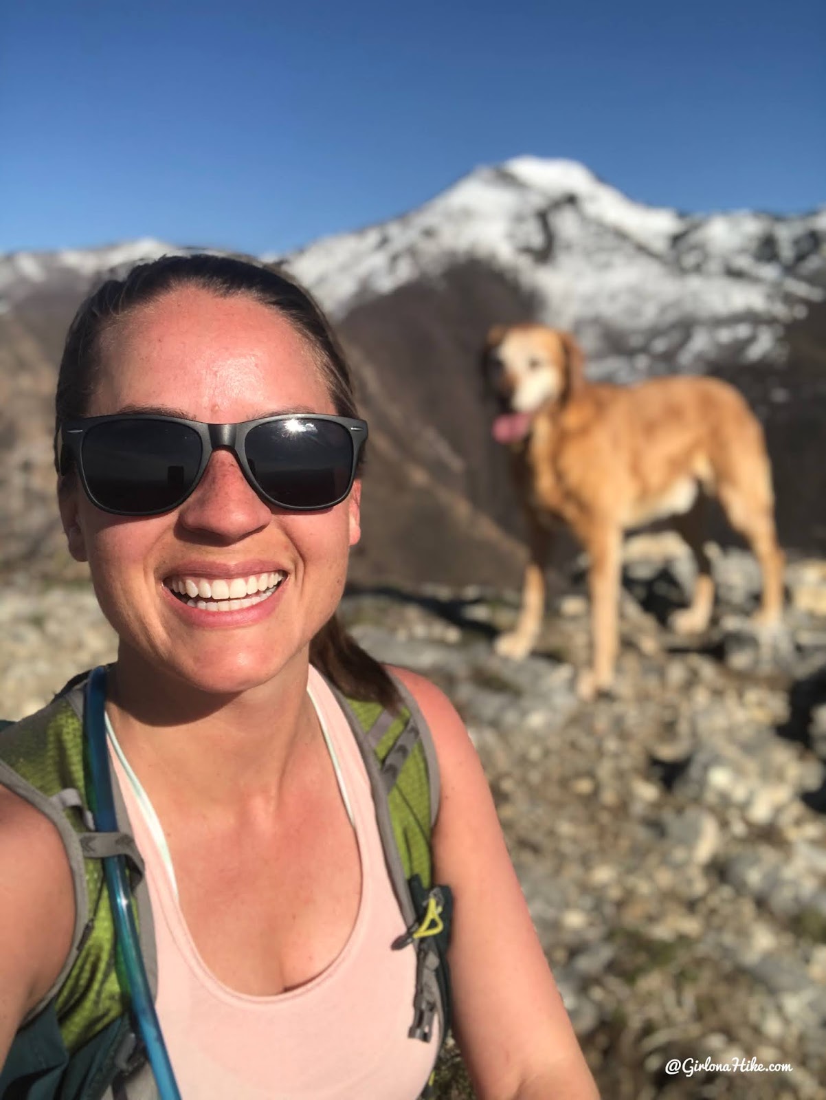
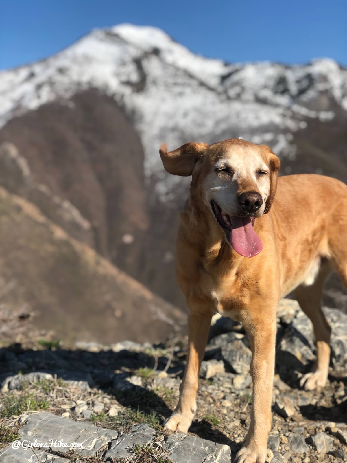
Charlie loves exploring new trails too!
💧 Pro tip: Bring plenty of water and sunblock—this trail is completely exposed and gets hot in the summer.
Optional Return via North Ridge
I like to make this a loop, and hike down the North Ridge. This is looking back at the Overlook, from where we just hiked from. My photo from 3 days prior showed snow and it was already gone from here!
The trail kind of fades out as you make your way over to the North Ridge, but its really easy cross-country hiking so just pick a route that looks good. Once you reach the ridge you’ll be back on a well traveled trail.
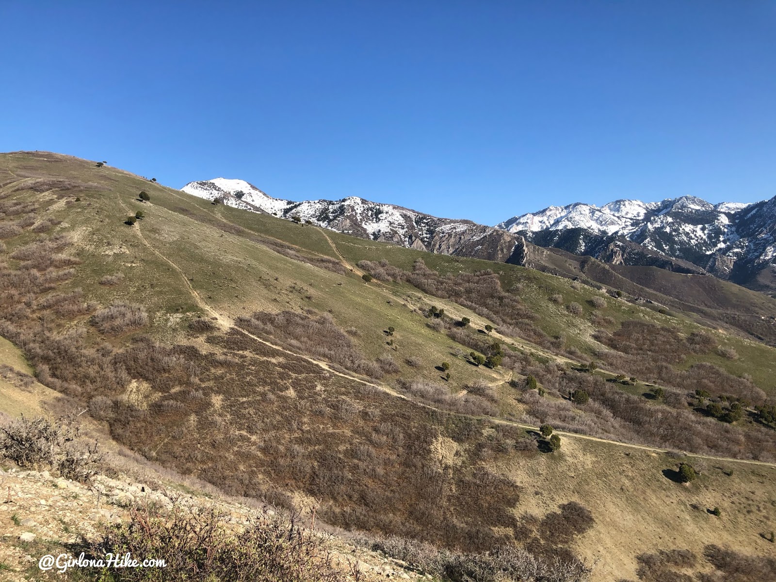
Looking at the trail we hiked up, the Main Trail, from the North Ridge.
Trail Map
Several ways to reach the overlook – pick your route!
My tracks via Gaia GPS – the best tracking app! Get your app here for a discount.
Nearby Hike

Save me on Pinterest!