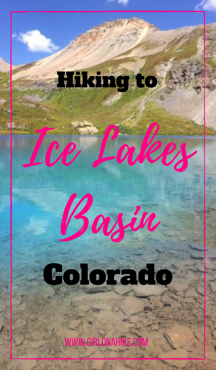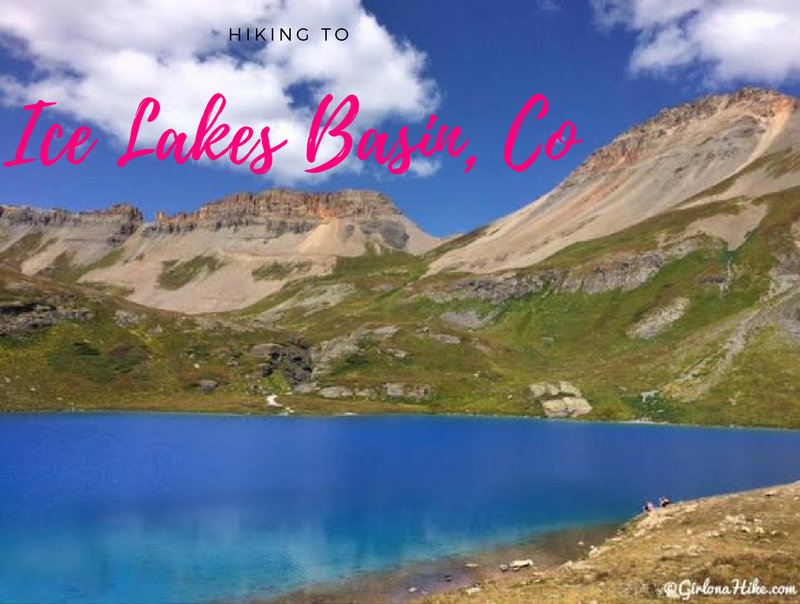
Hiking Ice Lakes Basin – Colorado’s Turquoise Gem Near Silverton
Ice Lakes Basin, located near Silverton, Colorado, is one of the most stunning alpine hikes in the San Juan Mountains—and for good reason. Known for its vivid turquoise lakes, sweeping mountain views, and wildflower-filled meadows, it’s become a bucket-list hike for outdoor lovers visiting southwestern Colorado.
Why Hike Ice Lakes Basin?
The Ice Lakes Trail offers a little bit of everything—alpine lakes, stream crossings, waterfalls, colorful wildflowers, and towering peaks. It’s a moderately strenuous hike, but what makes it challenging is the altitude and consistent incline. Starting at 9,900 feet and climbing to 12,500 feet, many hikers experience altitude sickness or shortness of breath, so plan to acclimate if you’re coming from lower elevations.
Despite the effort, the reward is unmatched.
The Lakes: Natural Jewels of the San Juans
Ice Lake is the highlight of the basin and is arguably the bluest alpine lake in Colorado. The intense color is due to rock flour—fine particles of glacially ground rock that reflect sunlight in such a way that the lake appears a vibrant turquoise or blue-green. You’ll also encounter:
-
Fuller Lake – a bit higher and quieter
-
Island Lake – equally stunning with a small island in the center
-
Multiple stream crossings and waterfalls throughout the hike
Each lake has its own unique hue, and together they make for a magical high-alpine experience.
When to Go & Tips for Avoiding Crowds
This trail has exploded in popularity over the past few years, and for good reason. To avoid crowds:
-
Start your hike early in the morning (sunrise is ideal)
-
Visit on a weekday if possible
-
Avoid holiday weekends – we hiked over Labor Day and the trail was packed
-
If you’re backpacking, arrive early to secure a good spot away from the crowds
Despite the foot traffic, the scenery makes it all worth it.
Dogs on the Trail
Dogs are welcome on the Ice Lakes Basin trail and will love it! There are numerous stream crossings, alpine lakes, and cool temps to keep your pup happy. Just be sure to pack out all waste and bring a towel for muddy paws.
Directions
If you are driving from Silverton, CO use this map.
Use this map if you are driving from Ouray, CO.
Trail Info
Distance: 9.2 miles RT
Elevation gain: 2,600 ft
Time: 5-7 hours
Dog friendly? Yes, off leash
Kid friendly? Yes, 10+
Fees/Permits? None
Camping in the Area
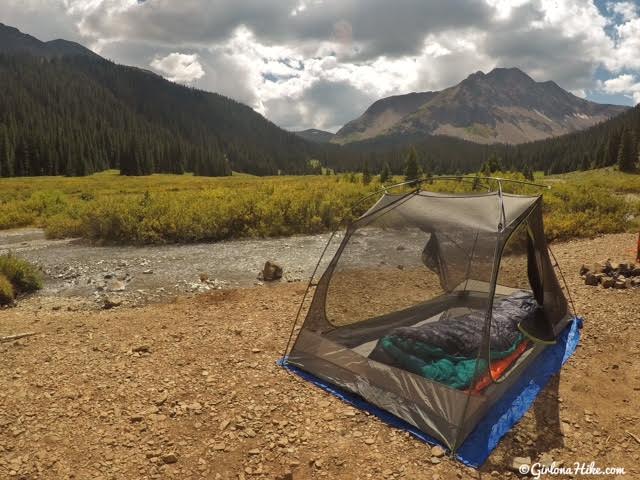
Car camping is available the entire dirt road along South Fork Mineral Creek road. The South Fork Mineral Campground is available for $25/night and even RVs can camp there. There is plenty of free camping is available along the entire road, and the best sites are past the Ice Lakes TH, along the 4×4 road. You will need 4-wheel drive to make it past the trailhead since the road is extremely bumpy and steep at times. We camped at this spot for 3 nights right on the river, and had amazing views of Rolling Mountain.
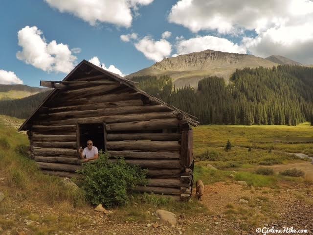
Silverton area, and the San Juans in general, were huge mining areas. You’ll find several mining structures along the 4×4 road past the TH.
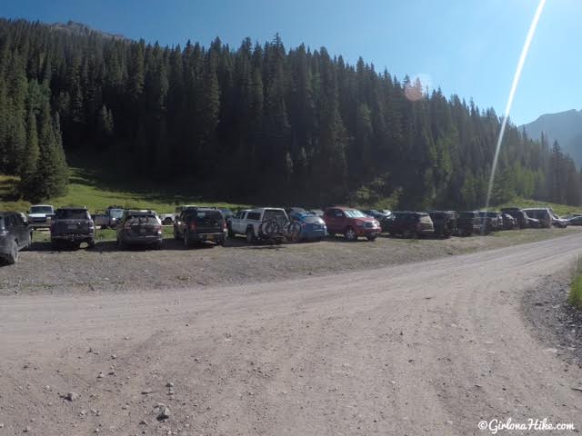
The parking area for Ice Lakes Basin is huge. Restrooms are available.
Ready to Hike!
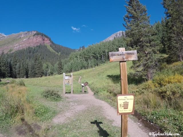
The trail starts in the NW corner of the parking lot.
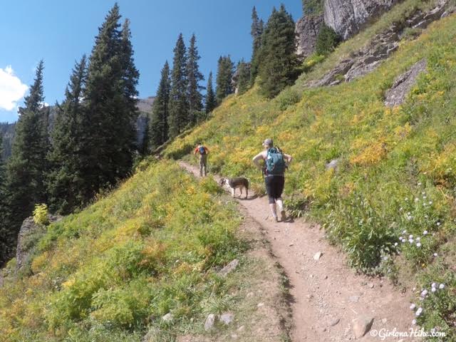
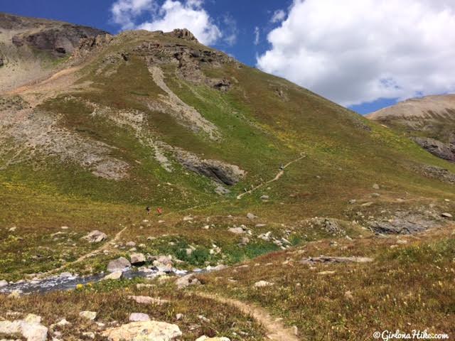
You’ll hike up endless, steep switchbacks.
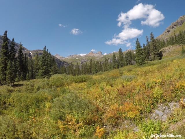
The Fall colors were already starting!
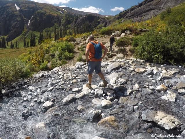
You’ll cross several creeks. As you hike higher up in elevation, you’ll cross this very white/grey stream bed. You should also be able to see several waterfalls along the trail.
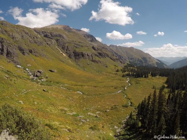
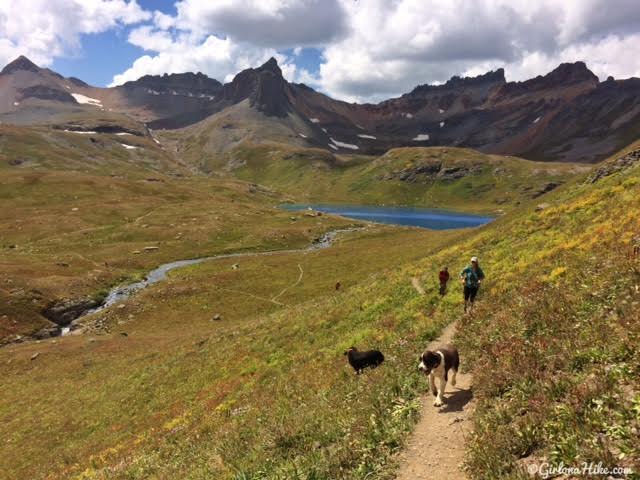
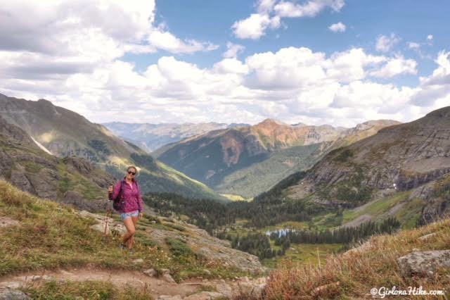
Looking back down to Lower Ice Lakes Basin.
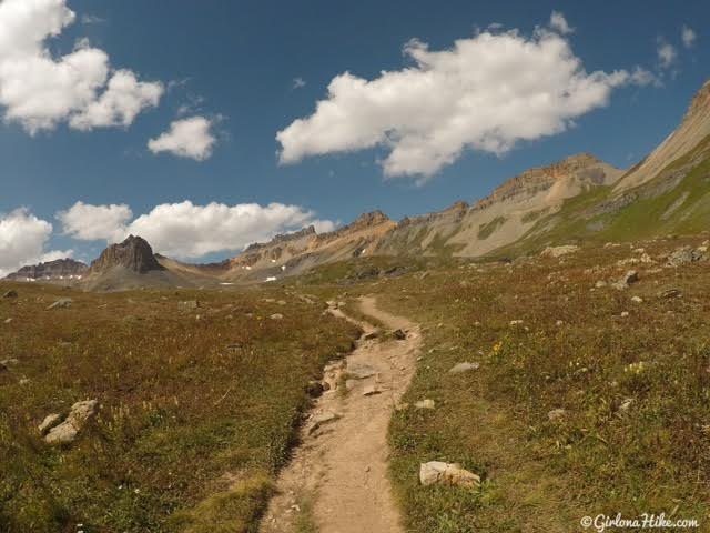
Keep hiking, you’re almost there….
Reaching Ice Lakes Basin
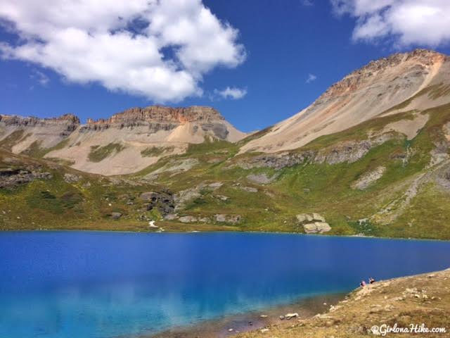
WOW! All of us were in total shock with how BLUE Ice Lake was – it was unreal. I have never seen anything like this at this elevation. Mind blown!
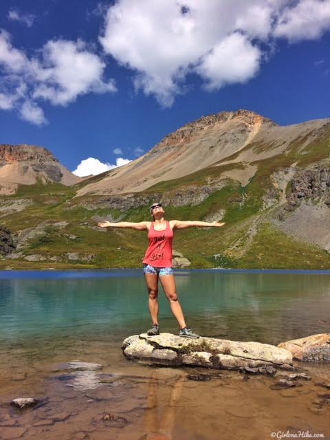
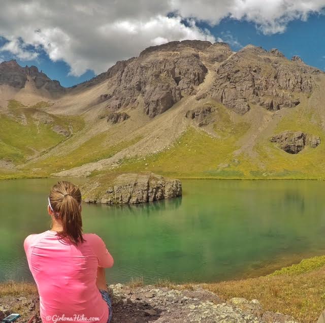
Soaking up the sun!
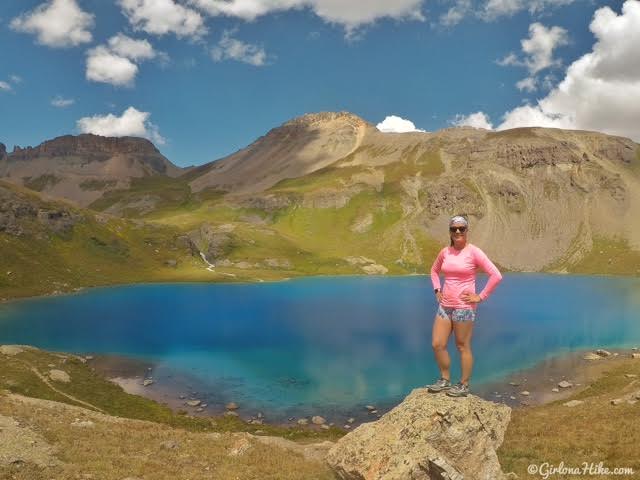
Hiking up higher around the lake.
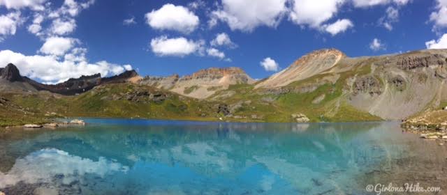
Panorama of Ice Lake.
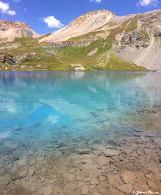
I just can’t get over how pretty this lake is!
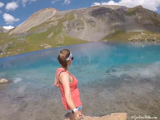
I wished I could have swam in the lake but it was getting chilly and the water temperature was ice cold.
We explored over to what I am calling mini Ice Lake (it’s unnamed on maps).
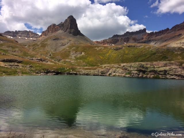
Hiking to Island Lake
We then headed over to Island Lake. The trail heads NE from Ice Lake.
Looking back to Ice Lake.
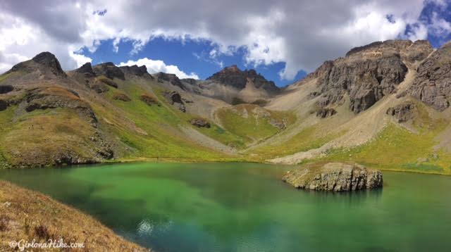
Island Lake!
The afternoon clouds were starting to roll in, and temperatures started to drop.
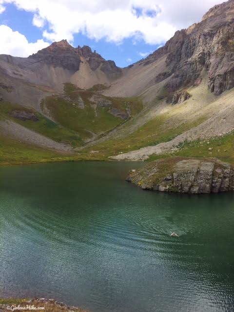
However, my friend took a refreshing swim out to the island!
Heading back down, I was now hiking in my puffy coat. Make sure you bring warm stuff year-round – you never know what the weather can do at this elevation.
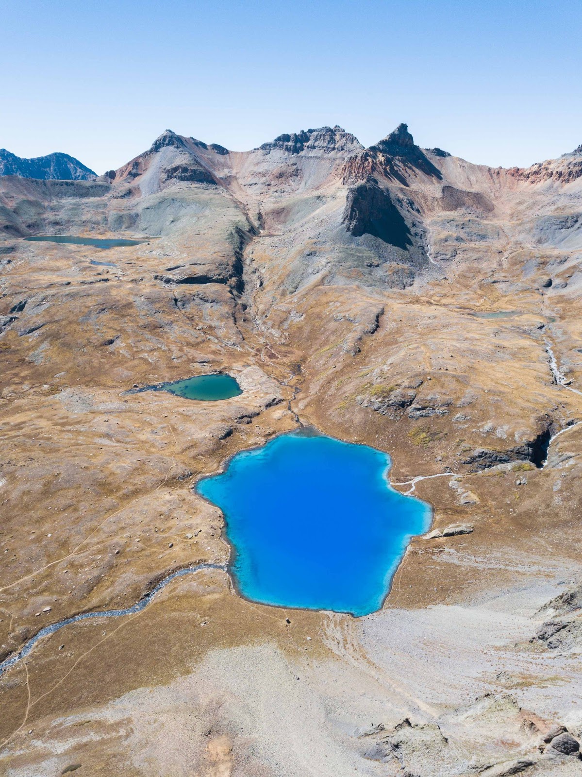
Love this aerial view take by Matt Geffert.
Final Thoughts
Ice Lakes Basin is easily one of the most photogenic and rewarding hikes in Colorado. With its glacial lakes, dramatic scenery, and high-alpine magic, it’s no surprise it continues to attract visitors from all over the country. Whether you’re doing a day hike or an overnight trip, come prepared for altitude, bring plenty of water, and don’t forget your camera!
Trail Map
My track via Gaia GPS – the best tracking app! Get your app here for a discount.
Nearby Hike


Save me on Pinterest!