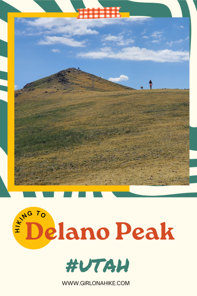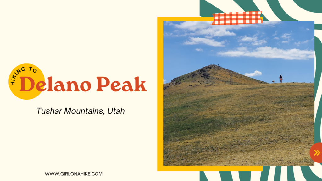
Delano Peak (12,169 ft) is the county high point for both Beaver & Paiute Counties, and sits to the east of Beaver, UT in the Tushar Mountains.
About
The Tushars have three peaks over 12K ft – Delano, Mt. Belknap, and Mt. Baldy. The hike to the summit is short and steep, yet very rewarding. The views from the summit can’t be beat! The trail is very exposed – no shade or water is available so make sure to bring at least 2 liters of water.
Directions
Drive south on I-15 and take exit 112 in Beaver, UT. Turn left, and drive on Main St. for 1.6 miles. Turn left for UT-153, and drive 16.3 miles. Just past mile marker 16, look for the dirt road turning off to the North side of the road and turn here. Reset your odometer. The road is a well-graded, dirt road. 4×4 cars are recommended, but a small, compact car can only make it if the road is dry. Call the Beaver Ranger station before heading out to check road conditions & to make sure the winter gate is open, at 435.896.9233.
0.3 miles – stay left at the first road split
0.8 miles – pass the metal gate
2.4 miles – keep left
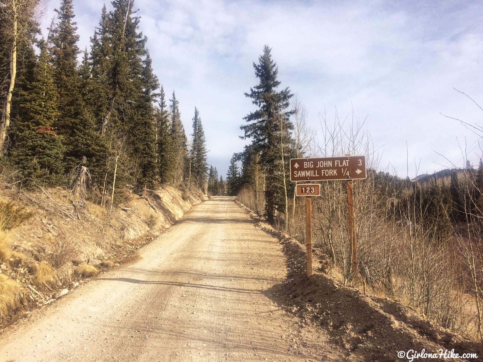
3.3 miles – Pass the Paiute ATV Trail, and the road curves right, pass Big John Flat, pass the first pit toilet, and cross a cattle guard
4.3 miles – pass a 2nd pit toilet
4.7 miles – pass the Skyline Recreation TH and a yurt
5.0 miles – drive past Griffith Creek (it may be completely dry in Summer/Winter)
5.5 miles – TH will be on the right, with a small brown post/sign. Park here.
Total drive time from SLC is about 3.5-4 hours. Here is a driving map – if you pass Poison Creek, you drove too far.
Trail Info
Distance: 3.5 miles RT
Elevation gain: 1,612 ft
Time: 2-4 hours
Dog friendly? Yes, off leash
Kid friendly? Yes, ages 8+
Fees/Permits? None
As soon as you turn off the main road, you’ll see the brown sign for Big John Flat.
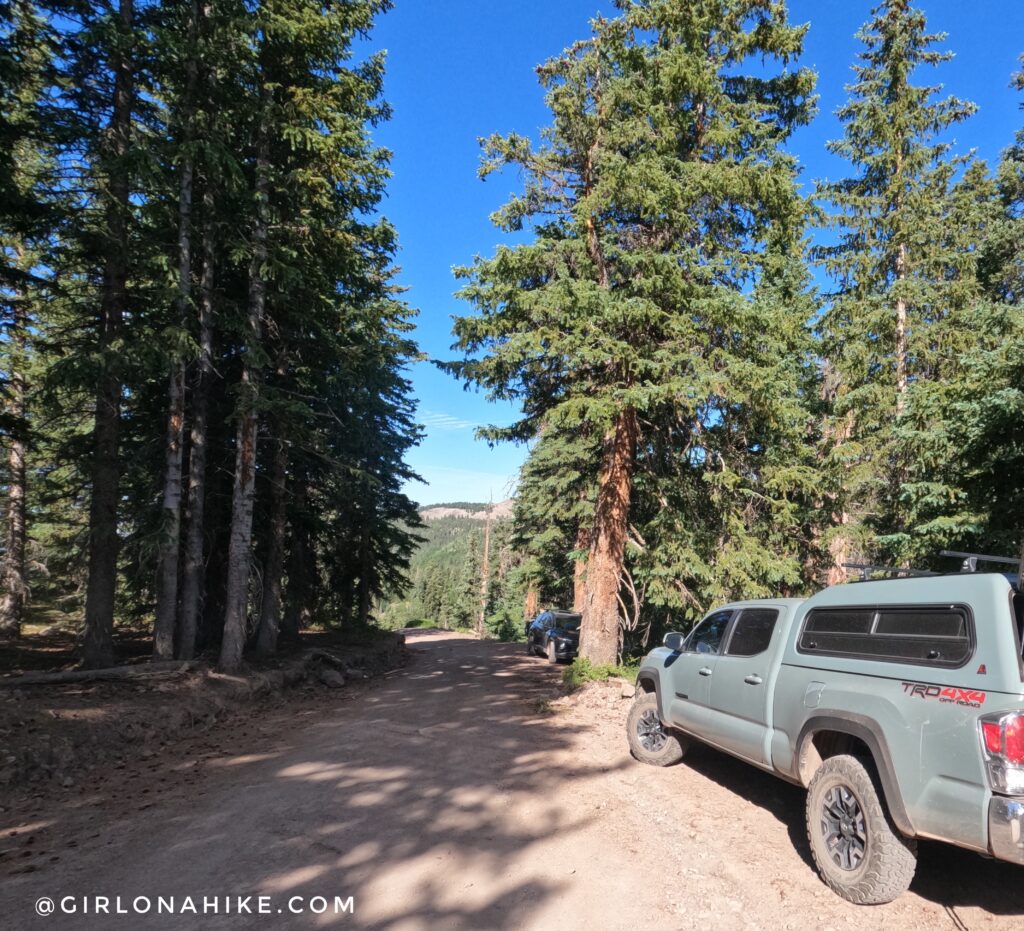
The TH has parking for 2-3 cars.
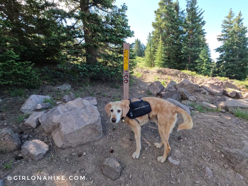
The only sign that marks the trail – this brown post with a yellow sticker, and no motorized traffic sign.
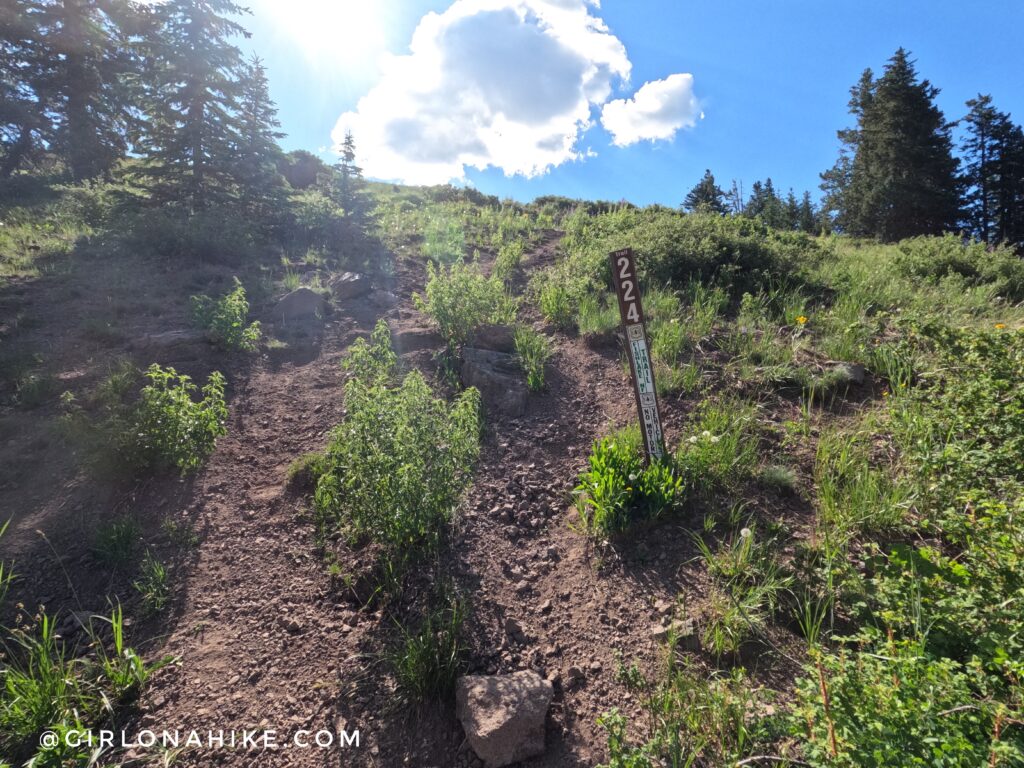
Within 5 minutes you’ll see a sign for FR224 (as this used to be an old jeep road).
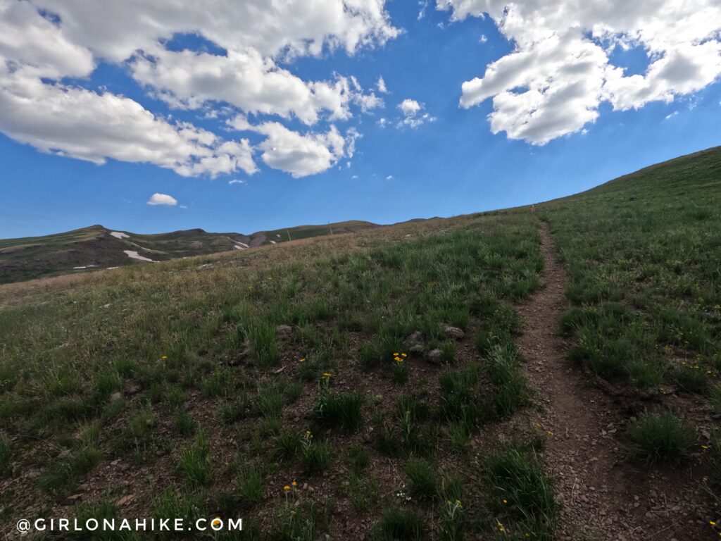
Continue following the jeep road, along the ridge. Eventually, it will turn into a single-track trail. At 0.5 miles you will see the old fence line.
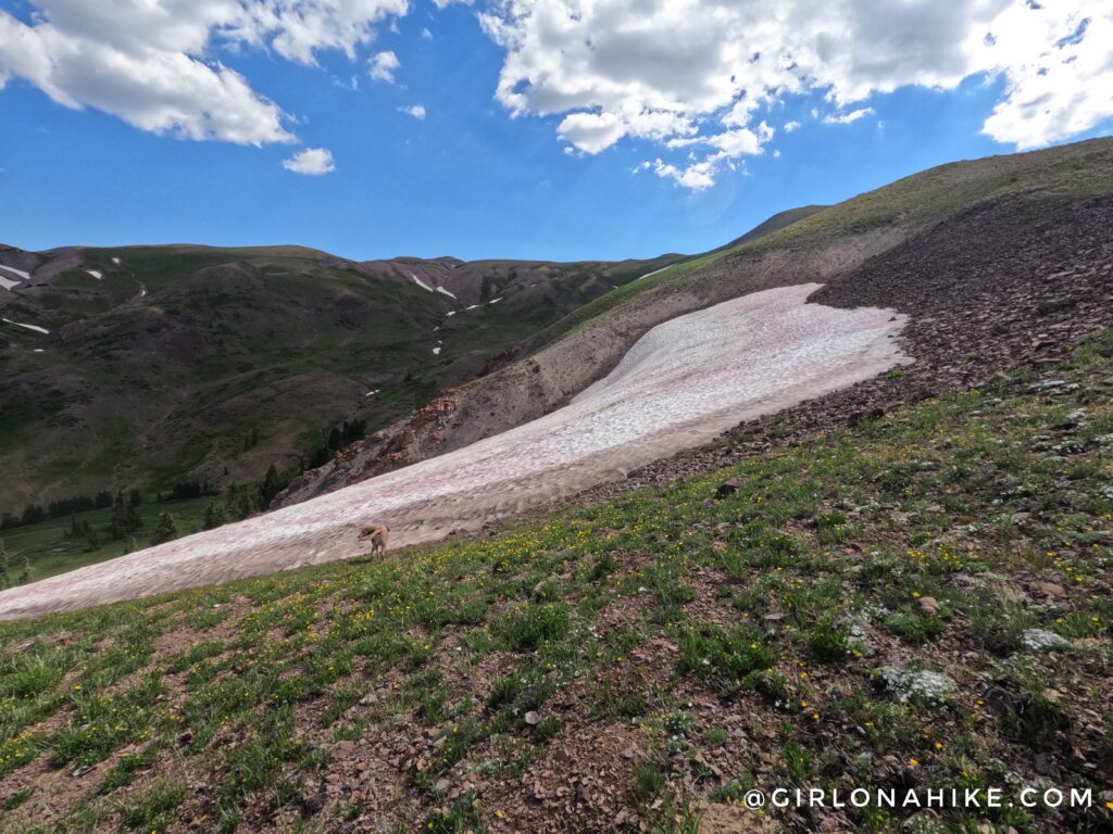
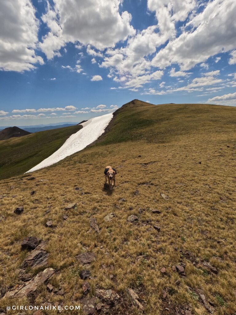
Crazy that there was still snow in late July 2023!
The trail steadily gains elevation.
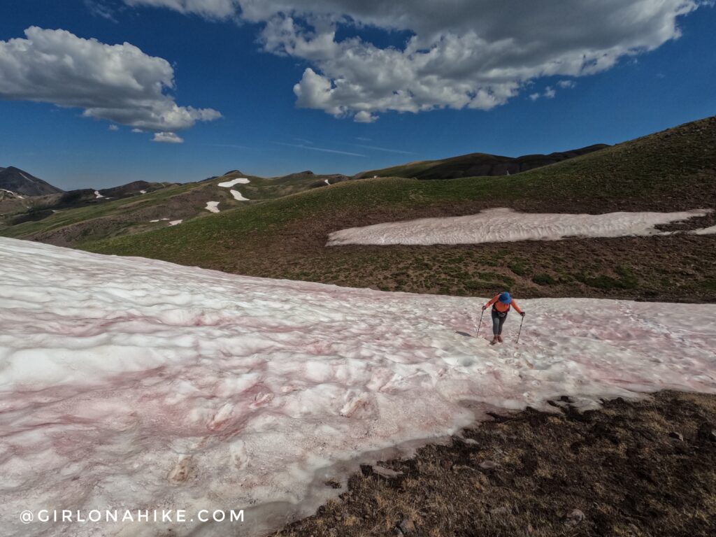
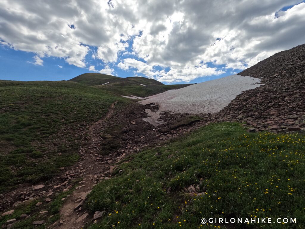
Looking back at the snow field crossing.
Once on the ridge, continue south to reach Delano Peak.
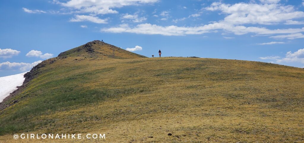
Almost there – you can see the sign now.
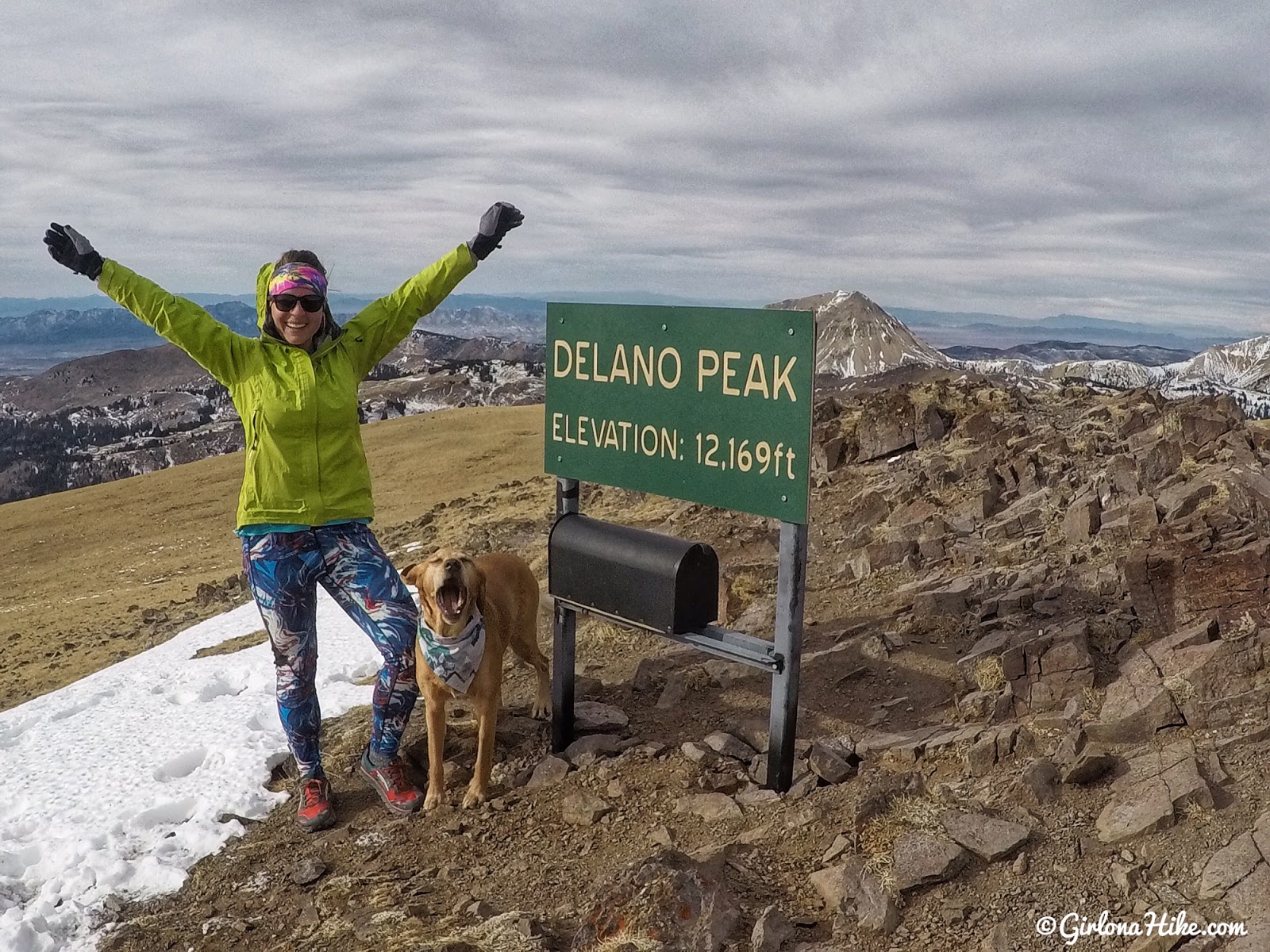
Charlie’s face says it all – Whoo hoo!!! Our first time on the summit in December 2017!
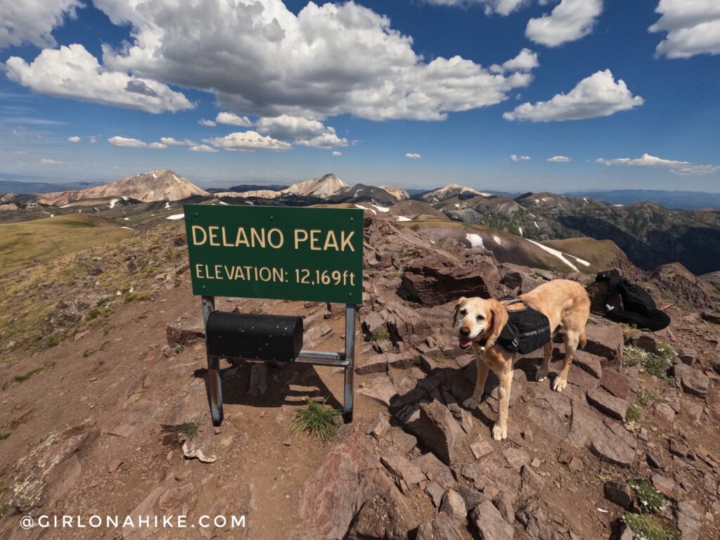
Versus our second time on Delano Peak in July of 2023!
Trail Map
My track via Gaia GPS – the best tracking app! Get your app here for a discount.
Nearby Hike
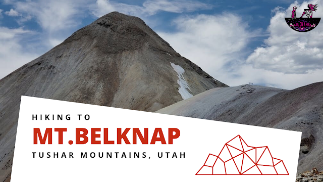
Hiking to Mt.Belknap, Tushar Mountains

Save me on Pinterest!