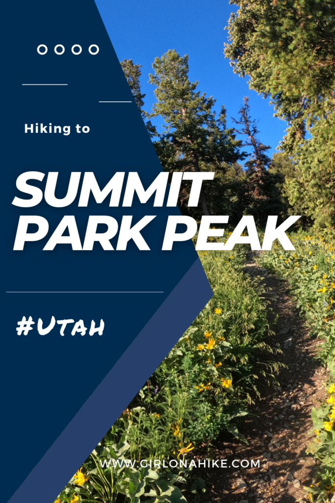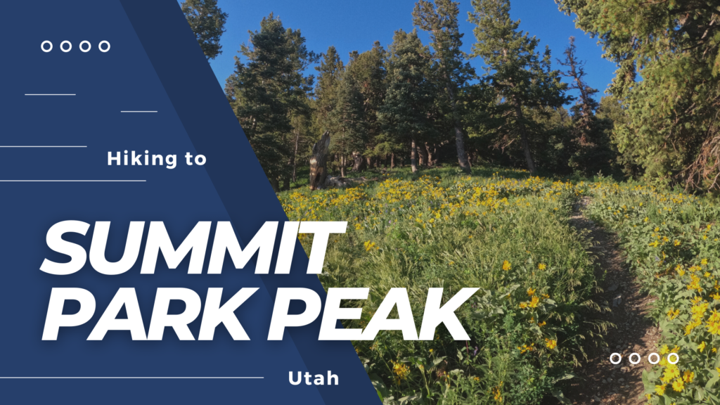
Summit Park Peak (8,618 ft) – A Year-Round Hike Near Park City, Utah
Summit Park Peak is a moderate hike located between Salt Lake City and Park City, offering stunning 360-degree views of the Wasatch Mountains. Although officially labeled as “Point 8,618” on topographic maps, the peak overlooks the community of Summit Park, UT, making its informal name feel well earned.
Why Hike Summit Park Peak?
Summit Park Peak is a great choice for those looking for:
A moderate, quick summit with rewarding views
Panoramic vistas of the Wasatch, High Uintas, and even Antelope Island and Stansbury Island on clear days
Low avalanche risk in winter, making it a favorite for backcountry skiing and snowshoeing
A lightly trafficked alternative to busier Wasatch Front hikes
Be sure to bring your hiking poles for stability and prepare for a short but steady ascent to the summit.
Trail Access & Management
The trail system is managed by the Snyderville Basin Recreation District, which oversees more than 140 miles of non-motorized trails. Much of this network crosses private property, so it’s crucial to stay on designated trails to help preserve public access for years to come.
For a list of the Basin Trails, click here.
Trailheads for Summit Park Peak
There are four main trailheads that lead to Summit Park Peak:
Innsbruck Strasse Trailhead (my chosen route – details below)
Matterhorn Drive Trailhead
Matterhorn Terrace Drive
Lambs Canyon Trailhead
My Route – Innsbruck Strasse Trailhead
I started from the Innsbruck Strasse Trailhead in Summit Park, which offers convenient access and scenic views along the way. The route winds through beautiful pine and aspen forests before opening up to the summit ridge.
Final Tips
🕐 Best Time to Hike: Year-round, but snowshoes or microspikes may be needed in winter
🥾 Footwear: Sturdy shoes or boots recommended year-round
🐶 Bring Your Pup: Just be respectful of leash signs and clean up after pets
🌿 Leave No Trace: Respect private property boundaries and stay on marked trails
Getting to the Trailhead – Driving Directions to Summit Park Peak
From Salt Lake City, head east on I-80 through Parley’s Canyon. Take Exit 140 for Summit Park.
-
At the end of the exit ramp, turn right.
-
At the first stop sign, turn right again at the Sinclair Gas Station—this road becomes Aspen Drive.
-
Continue following the road as it changes names:
-
Aspen Drive
-
Maple Drive
-
Crestview Drive
-
Innsbruck Strasse Drive
-
As you drive along Innsbruck Strasse, watch for:
A large electrical box on your right
A red storage unit next to a nearby home
About 100 yards past that, the trail begins on the right, marked by several signs. There is a small pull-off for parking that fits around 4–5 vehicles. Note: There are no restrooms at the trailhead.
📍 You can click here for a Google Map (insert link) with driving directions from Salt Lake City.
⚠️ Winter Parking Update (2022)
As of November 2022, new “No Winter Parking” signs have been installed along Innsbruck Strasse, restricting roadside parking from November 15 to May 15.
-
Enforcement is active – vehicles may be ticketed
-
First violations may receive a $0 warning ticket, but future tickets could carry a fine
-
Locals in the area weren’t sure about alternate parking options, so plan accordingly
❄️ Winter Hiking Access is Limited
Due to these new restrictions, winter access to Summit Park Peak may not be feasible. It’s best to avoid attempting to park here in winter, or choose another route/trail with safer and legal parking access.
Trail Info
Distance: 2.7 miles one way
Elevation gain: 1250 ft
Time: 2-4 hours
Dog friendly? Yes, on leash (but can be off leash with an eCollar in Summit county)
Kid friendly? Yes, but it may be steep for them
Hiking to Summit Park Peak: What to Expect
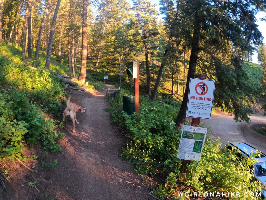
The trailhead will have a sign saying “motor vehicles strictly prohibited”. There is now a dogs on-leash sign but …nobody does. Summit County does allow dogs off leash if they have an eCollar.
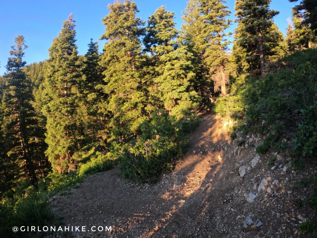
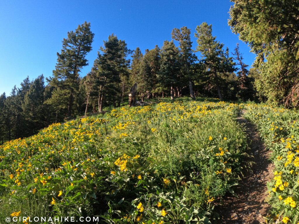
There were initially 7-8 switchbacks, with a moderate climb. The trail is very well shaded for this portion of the hike.
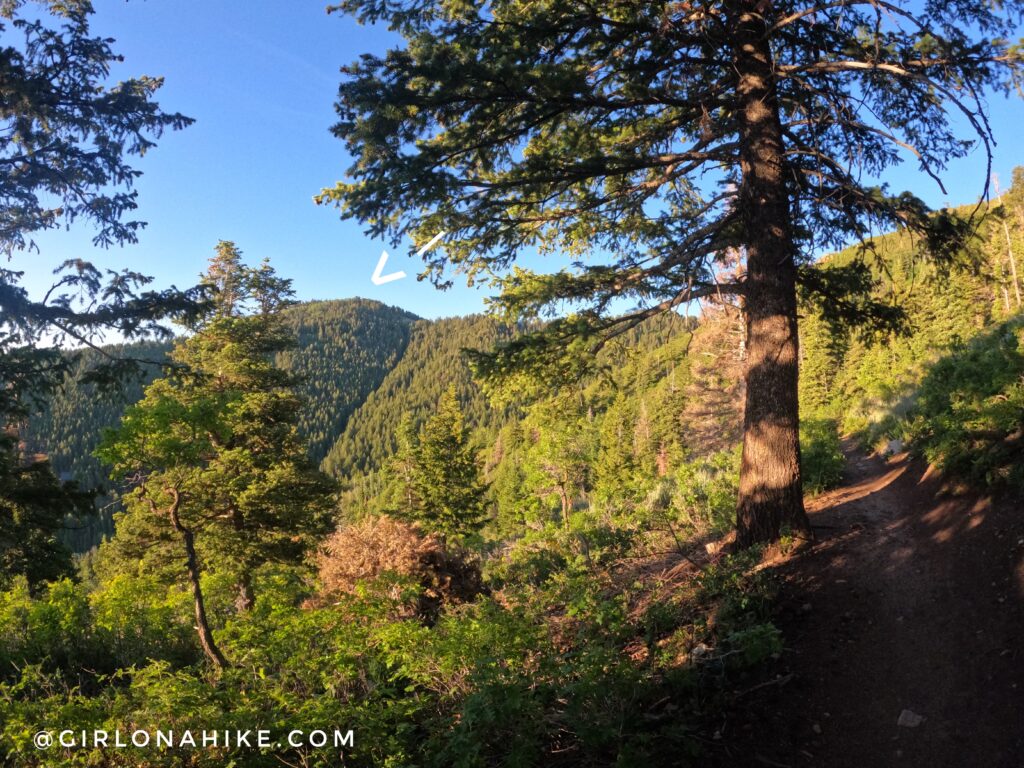
As the trail heads south, you will now have a great view of Summit Park Peak!
 I love hiking this trail early (around 6am) – it’s quiet, you might see animals, and there are no bikes!
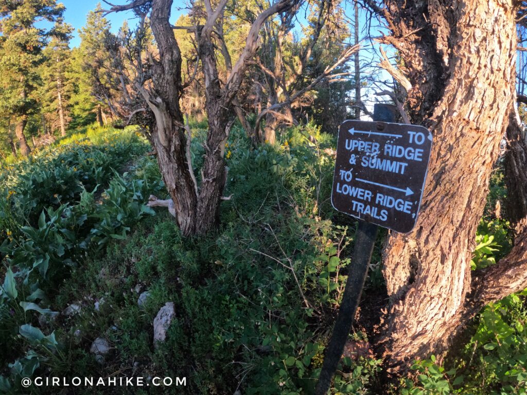
Trail Split
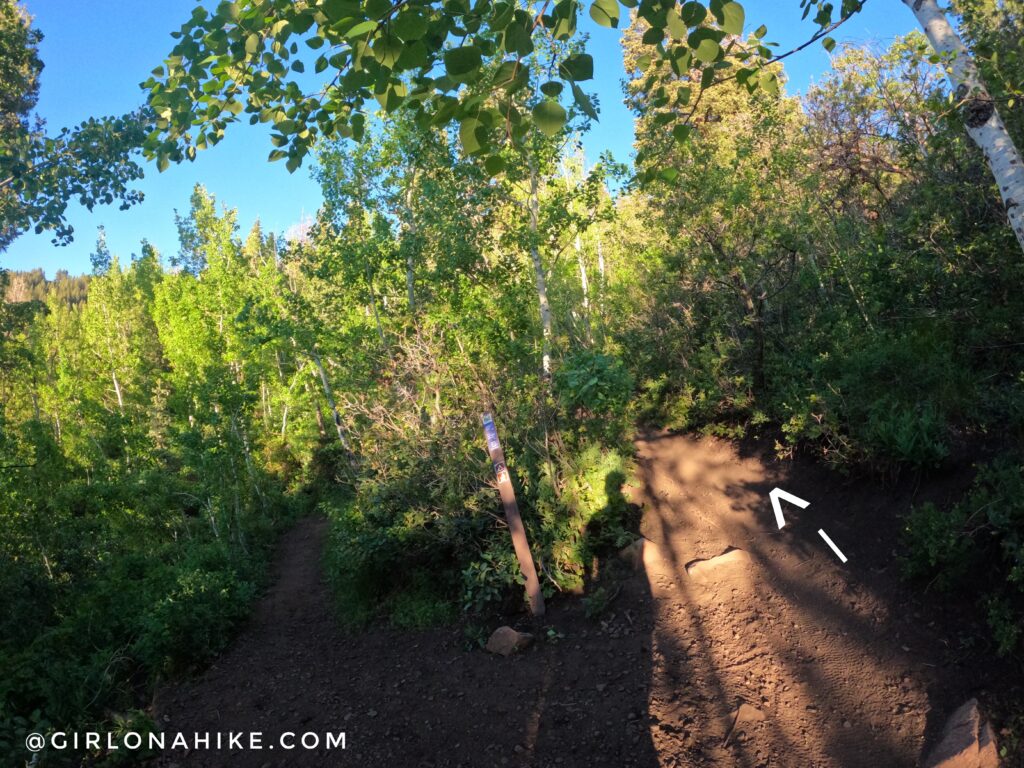
Soon you will now be on the South facing slope, with small trees, and a more exposed trail. At the 2nd trail split, veer right.
At the 3rd trail split, if you continue straight onto the “Trail to WORS” you will be walking above a green water tank. This is NOT the correct way.
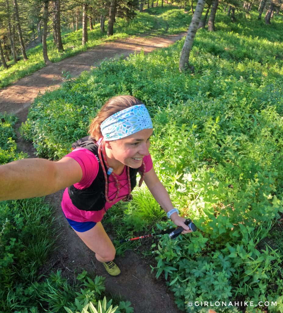
It’s SO green in mid-summer! All the flowers were blooming too.
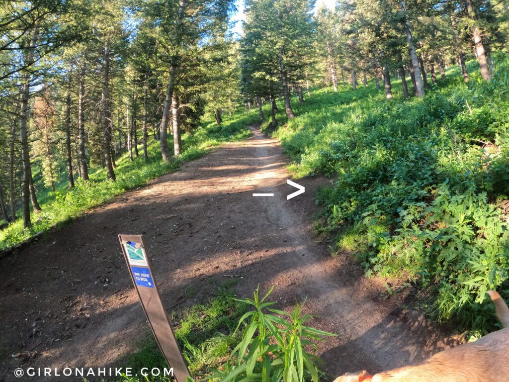
When you reach the first small ridge you will see this tiny sign – stay left (south).
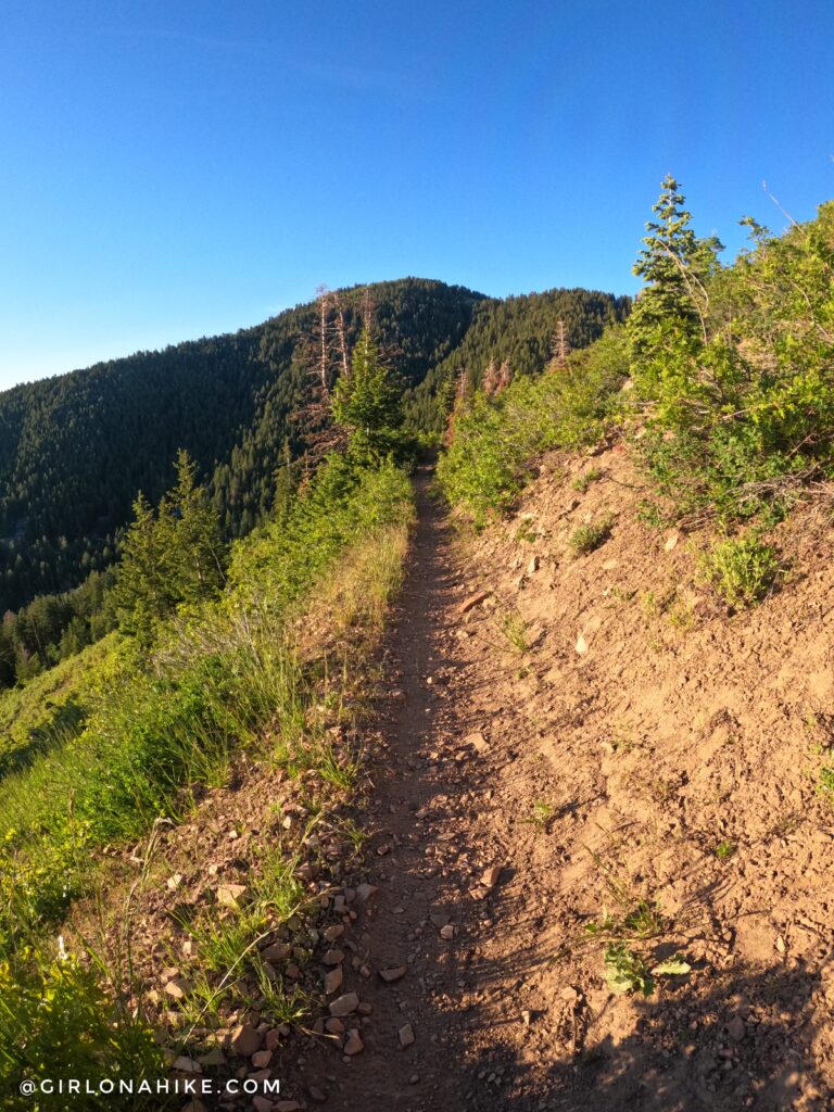
Now the trail gains elevation steeply to the next ridge.
On the Ridge
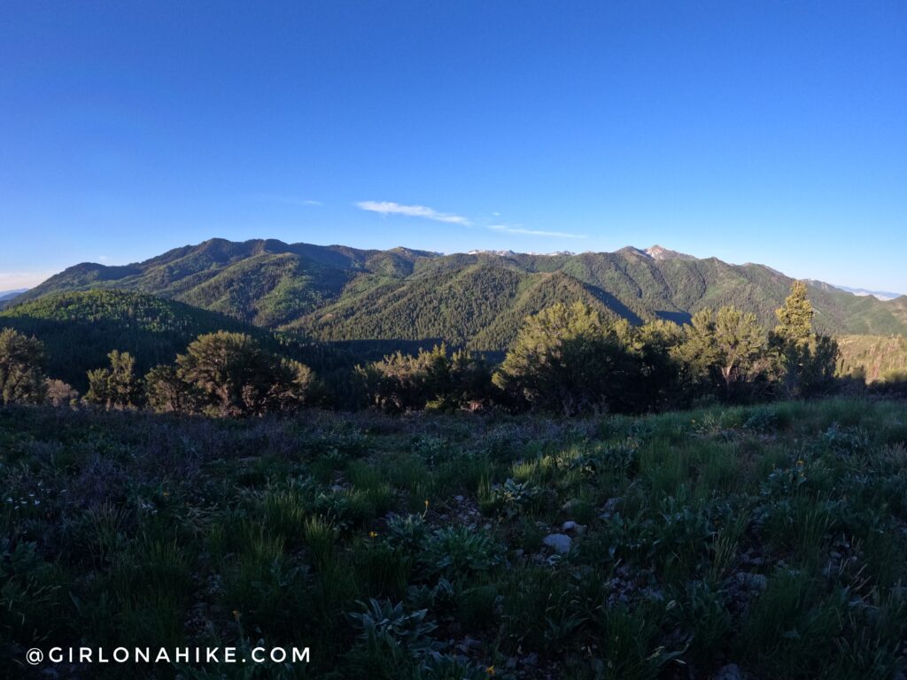
At 1.9 miles you will see an unsigned trail split. If you stay right, it will take you steeply up to the ridge with this view. (You can also stay right, you will just skip the ski lift chair). Murdock Peak is to the far left and Mt.Aire is to the far right.

The reason I suggest going right at that split, is so is leads you to this. A ski lift chair on your left – a memorial for Craig A. Patterson.

You will pass a bushcraft shelter as well.
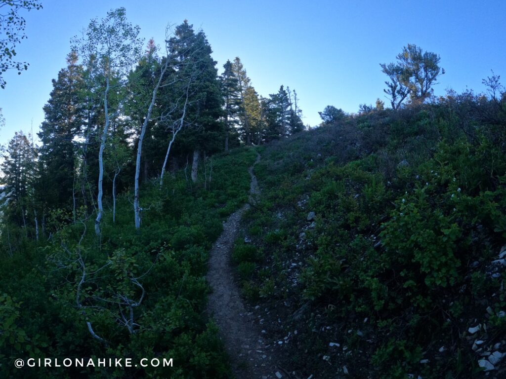
Continue following the well-traveled trail.
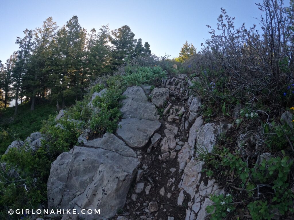
There are some rocky areas the last few minutes leading up to Summit Park Peak.
On the Summit
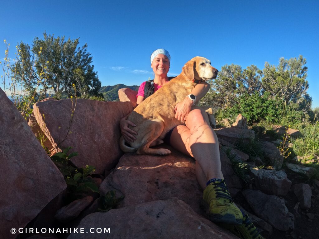
On the summit with Charlie! I think we have done this peak about 4-5 times over the years, I really enjoy it!

On Summit Park Peak looking SW.

This is one of my favorite views of the Wasatch Mountains!
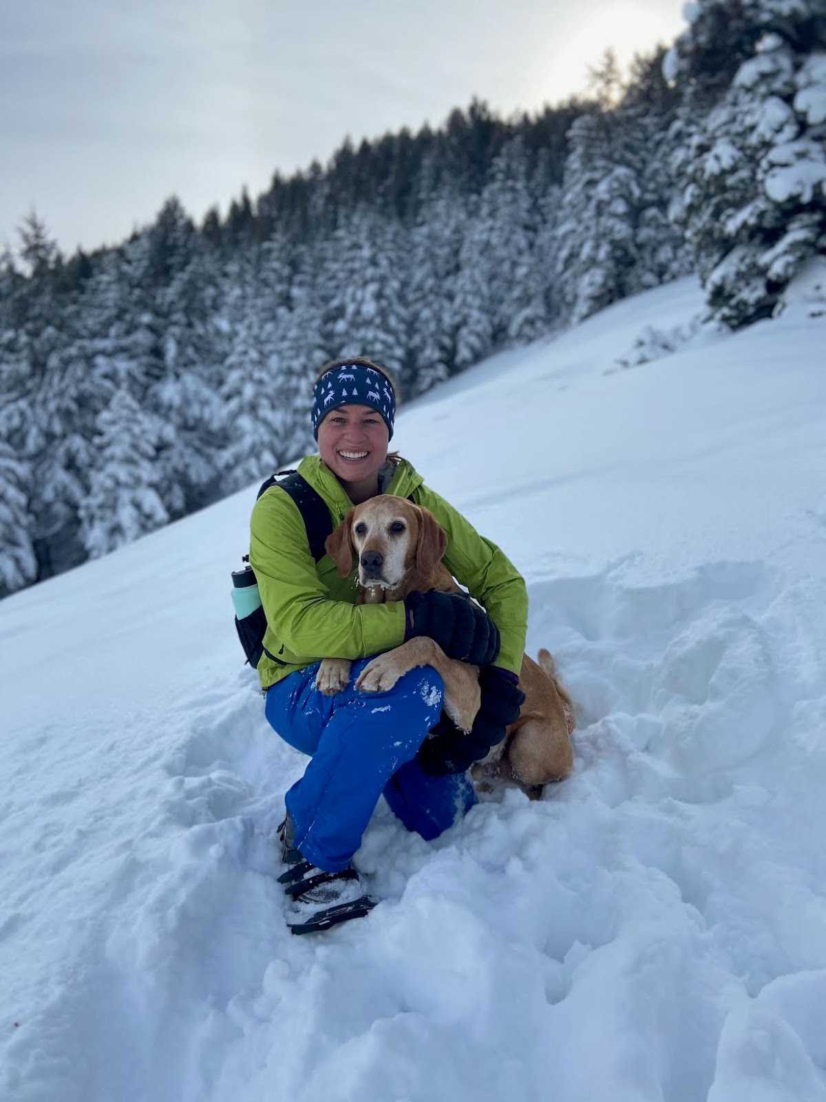
Winter
Prior to 2022, you could park at the TH and hike here in winter. I loved snowshoeing this trail.
You can still do it today, but would need to add on about 1.5 miles of road each way to reach the trailhead with legal parking (or Uber!).
Trail Map
My track via Gaia GPS – the best tracking app! Get your app here for a discount.
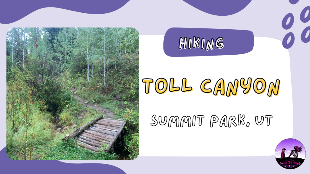
Nearby Hike
Hiking Toll Canyon, Summit Park

Save me on Pinterest!