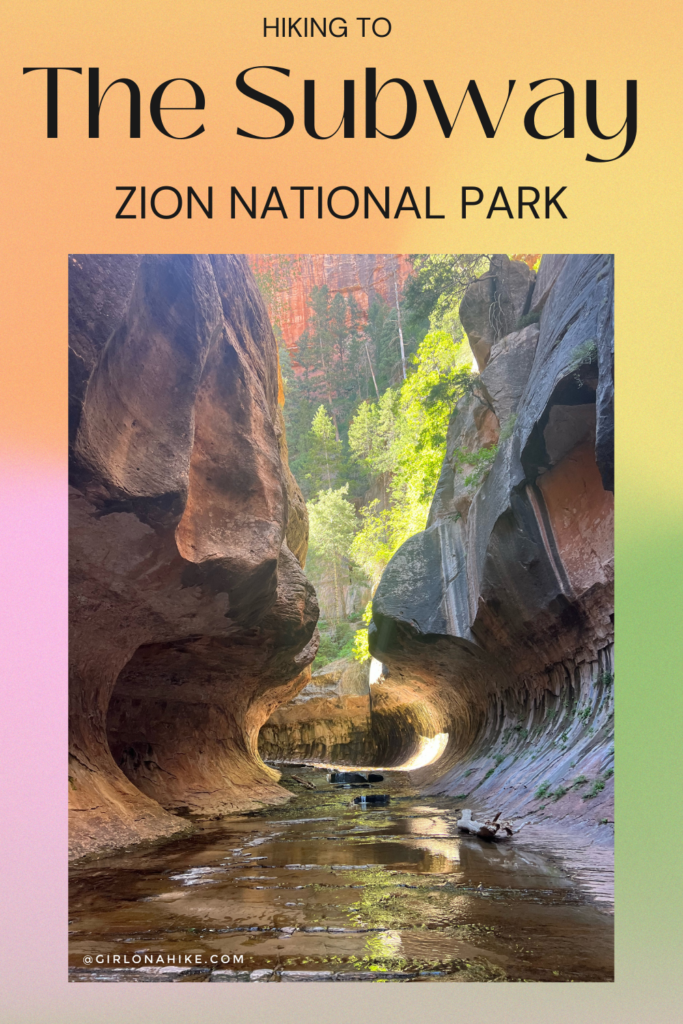
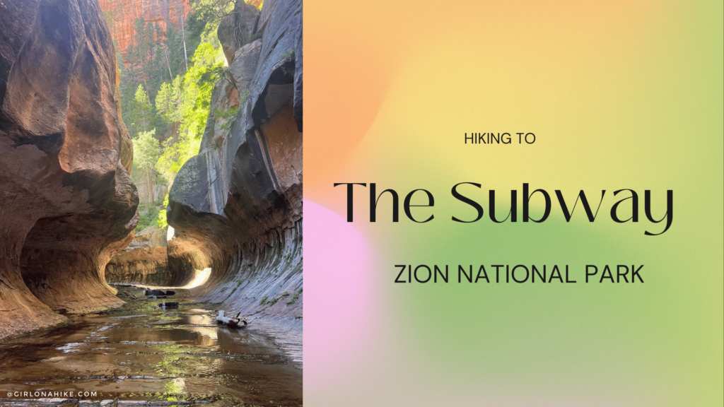
The Subway in Zion National Park is a hiker and photographer’s dream destination! The Subway follows the Left Fork Canyon in Zion National Park, and along the way, you’ll have a vast view of the canyon, walk along the river and hike by several deep pools, and hike where only 80 people are allowed in each day.
About
There are two ways you can get to the Subway:
“Bottom Up” or the non-technical/hikers route. This is an easy 9 mi (round trip) hike that follows the Left Fork River at the “bottom” of the canyon. Plan on 5-8 hours of hiking this route.
“Top Town” is the technical/climbers route. This route requires rappelling knowledge and gear, wet suits, and swimming.
The Subway and Left Fork Canyon area requires a backcountry permit, even for the non-technical “bottom up” route. This canyon has gained a ton of popularity due to social media, photographers showcasing the Subway, and bloggers (like me) posting about it. Because of this increase in attraction, Zion NP has an advanced lottery permit reservation system in place, which allows only 80 people per day to enter the canyon. Camping is not allowed in any section of this canyon. To apply for a permit, click here. Notice that you need to apply 3 months before your requested date.
As of 2024, there is a toxic cyanobacteria that water filters do NOT purify. You must carry all of your water!
Directions
Directions to the “Bottom Up/Hikers” Route: From Hurricane, UT Drive 13 miles to the turn off in Virgin, UT for Kolob Terrace Road. Drive this road until you see the sign for “Left Fork Canyon” and park here. This is where you start hiking. There is one restroom at the TH. Here is a map.
Trail Info
Distance: 9 mi round trip
Elevation gain: 400 ft descent from the TH to bottom of the canyon, then a 600 ft gain to the Subway
Time: 5-8 hours
Dog friendly? No
Kid friendly? Yes, ages 9+
Permits: Yes, see info above
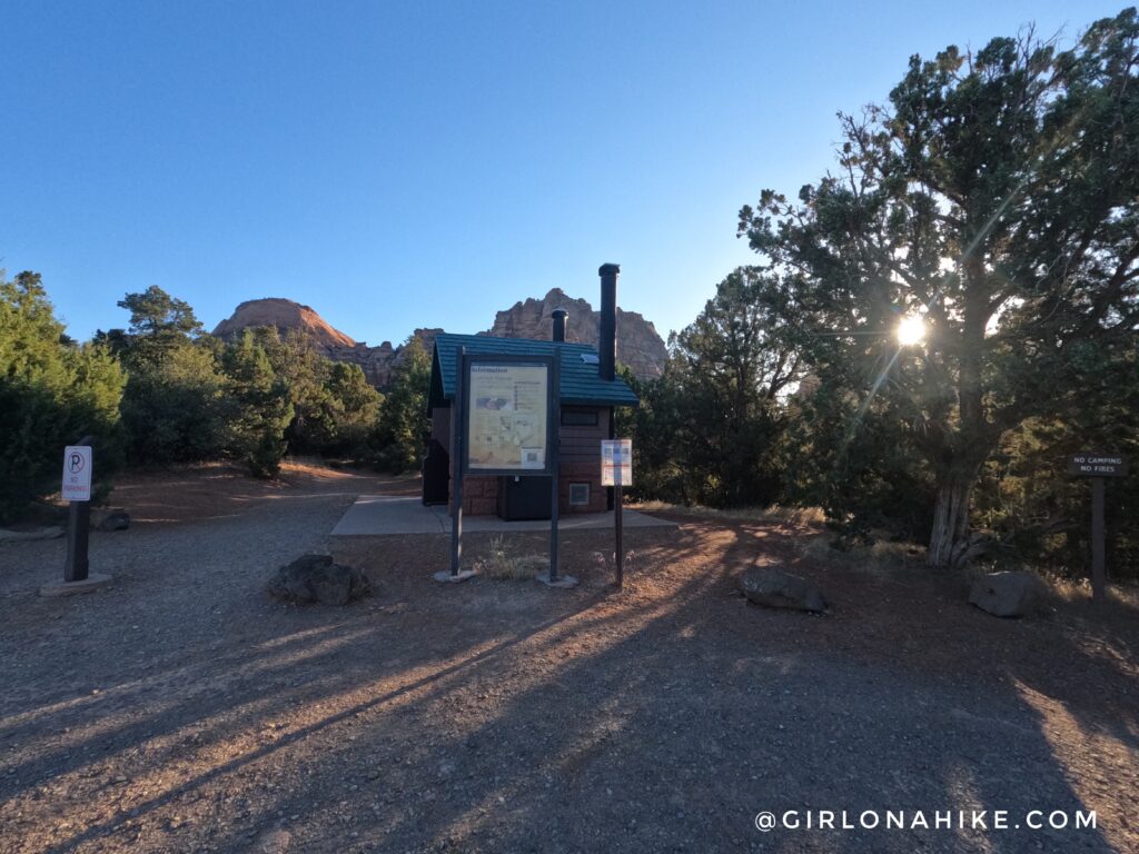
This is the start of the trail. Make sure to carry your Subway permit with you in case a park ranger needs to check it. In Summer months, I wouldn’t start hiking any later than 8am.
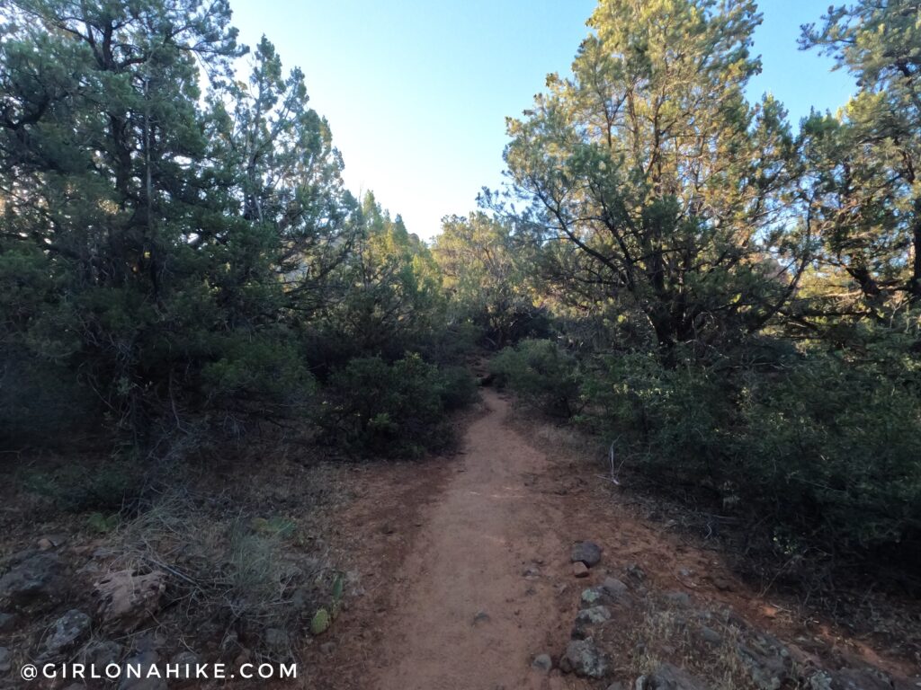
Entering Zion Wilderness! The first 1/2 mile is somewhat shaded and very easy to follow.
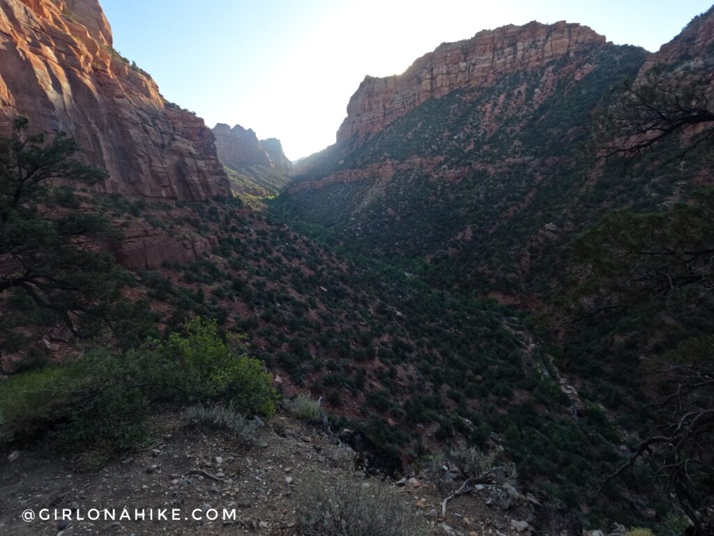
The view of the Left Fork Canyon. Now you’ll drop down 400 ft to the bottom of the canyon. The descent is steep with loose rock.
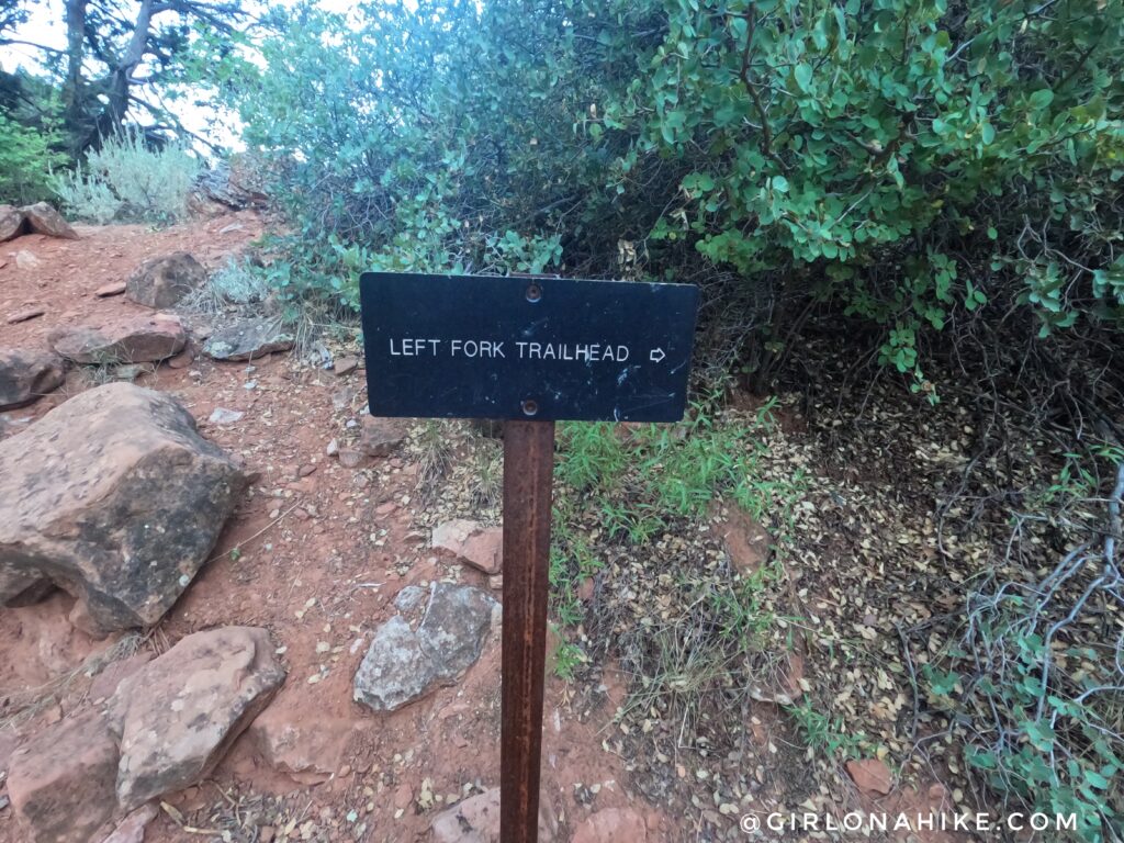
Once you reach the bottom you’ll see this sign. Make sure you don’t miss where this is for your hike back out! Turn left, hiking NE from here.
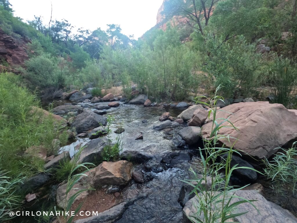
Time to start crossing the river! Some people wear their hiking shoes, then change into water shoes here. I didn’t do that – just wear shoes you can do both in like Chacos or Keens. You’ll have way less weight to carry, or won’t have to worry about people stealing it if you stash them somewhere.
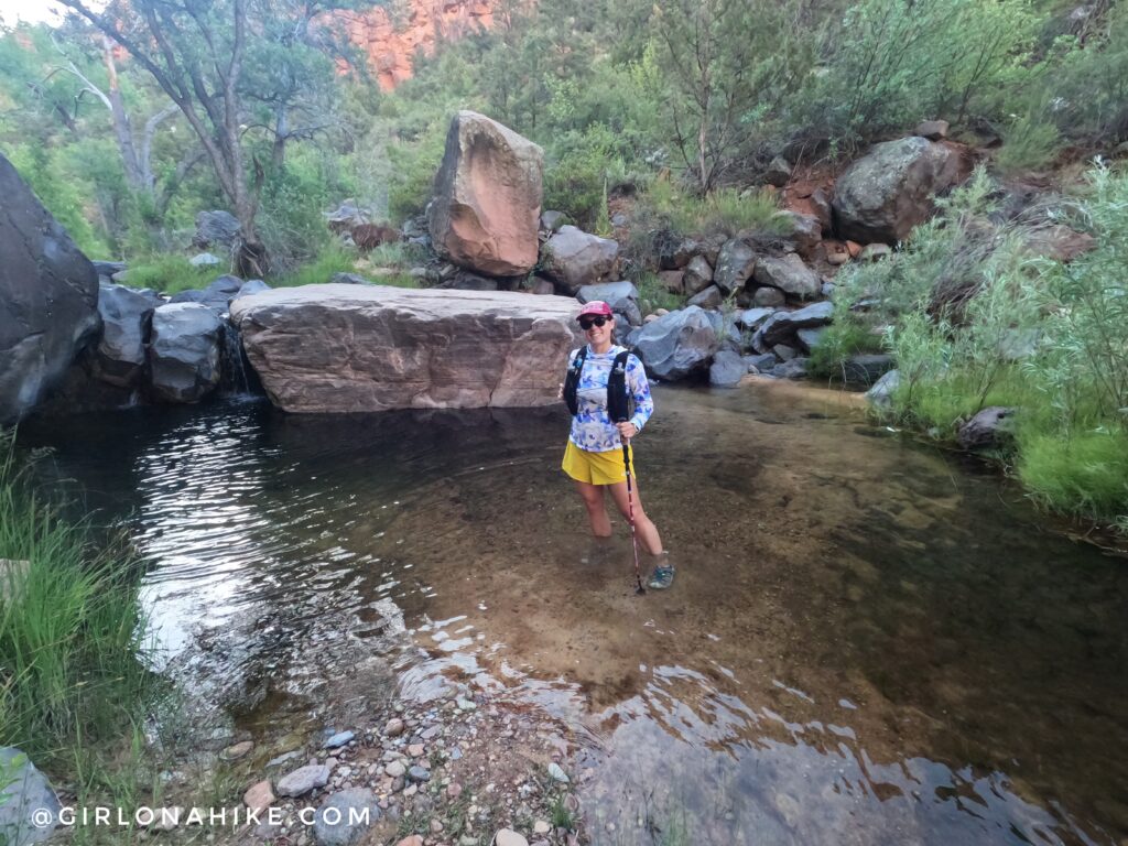
Don’t let these pools fool you – some of them are 8+ ft deep! Perfect for swimming on a hot day.
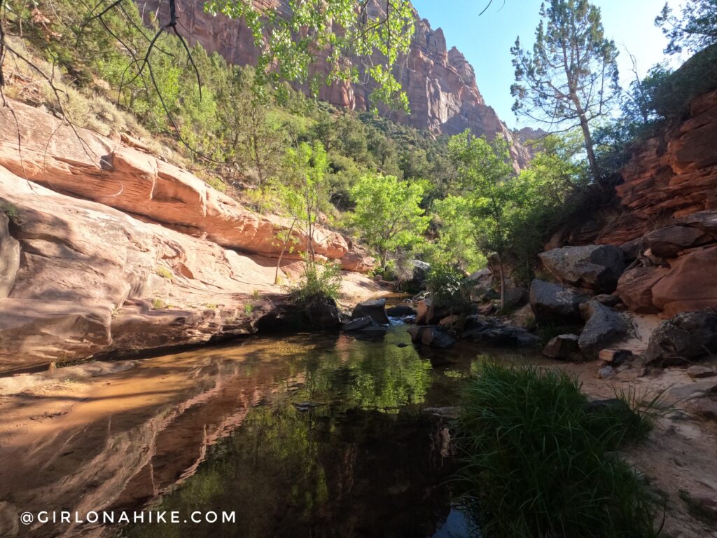
The trail is constantly crossing the creek. No way is wrong – just stay as close to the creek as possible.
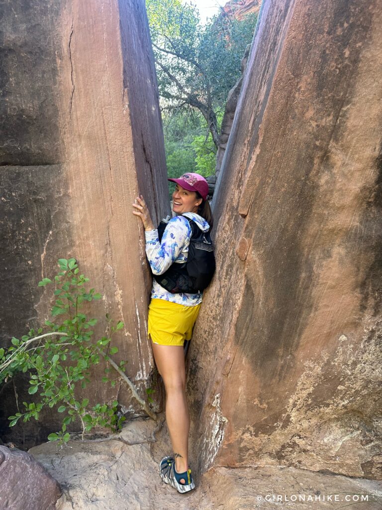
On our hike up we shimmied through this giant boulder but on the way back we missed it somehow. That’s part of the fun while hiking to The Subway – not everyone will experience the same thing nor even hike the same route!
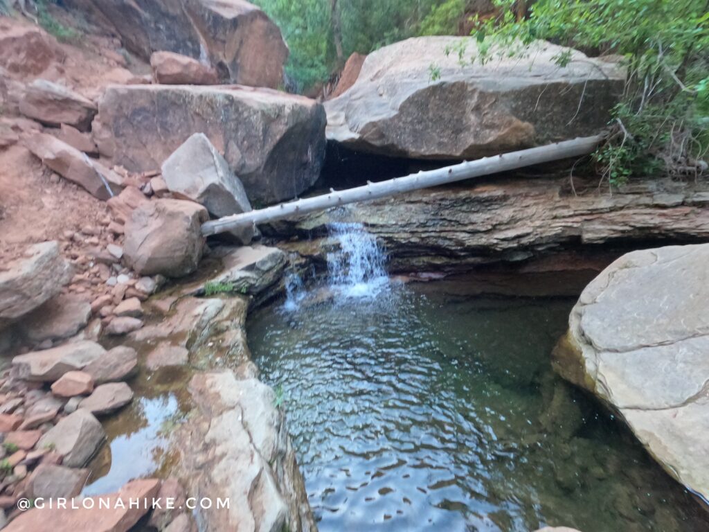
More deep pools! This would have been a fun one to swim in.
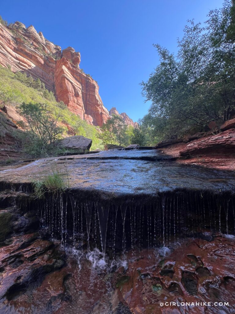
After about 3 miles of hiking, you’ll reach an area where the geology starts to look slightly different. One of the biggest changes are these cascading waterfalls.
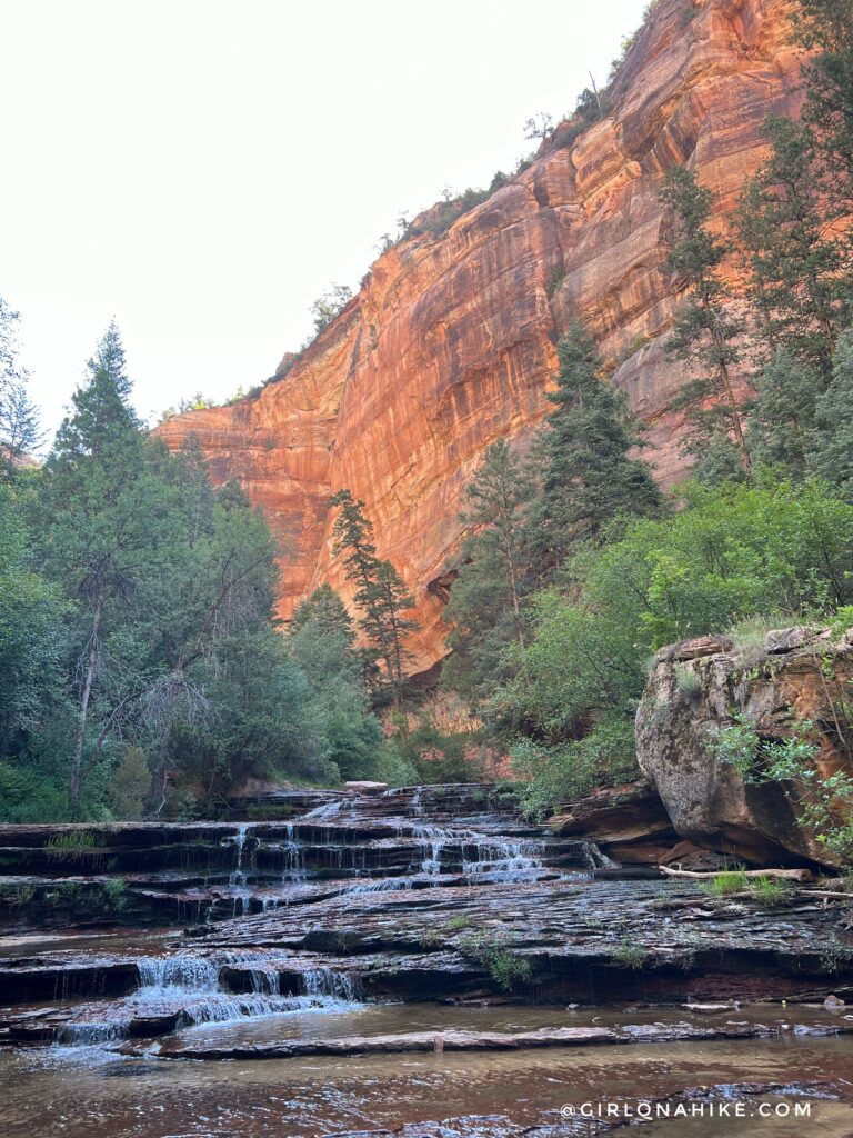
It is like big steps and so fun to walk through!
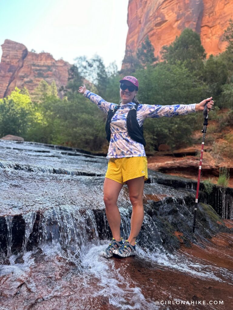
Soo happy to be back! The water temperature in July was perfect. The first time I hiked this in October, the water was very cold.
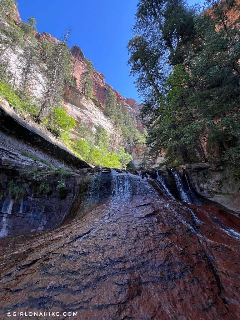
Getting closer and exploring more rock features!
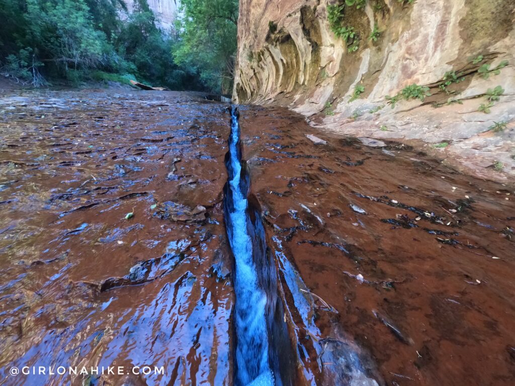
Above the cascading waterfalls, you’ll see this crack in the rock with water flowing through. Right around the corner is The Subway! Just imagine – one day this crack will be a second Subway!
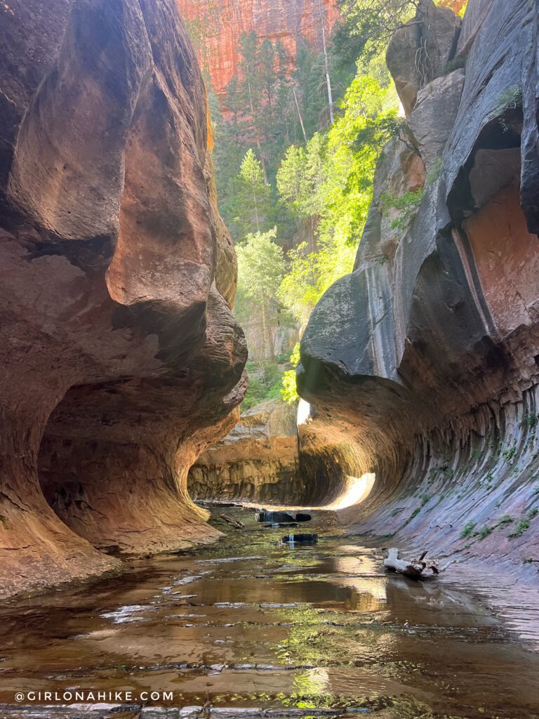
Finally – the entrance to The Subway!
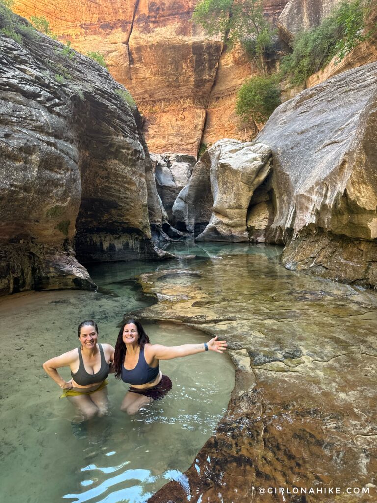
Walk to the end of the Subway. From here, if you are brave enough, you can swim further and reach a 20 ft waterfall.
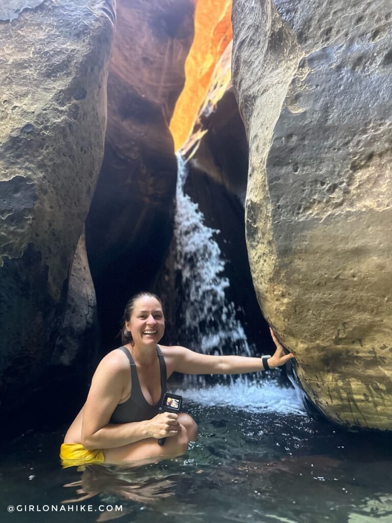
Last time I hiked The Subway, as mentioned before, it was way too cold to see the waterfall. I’m so glad I did it this time!
This was definitely one of my favorite destination hikes I’ve been to! If you ever have the chance to go, I highly recommend it!
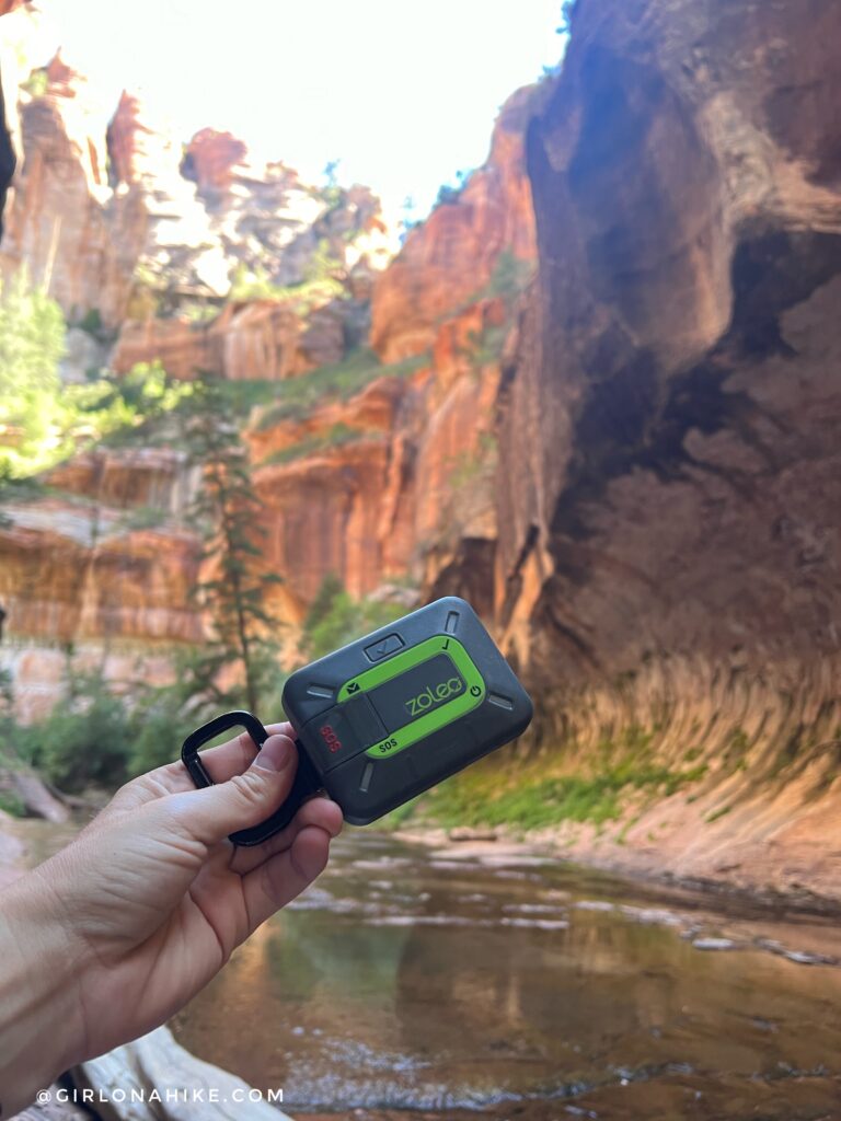
Don’t forget to bring a satellite communicator. There is cell service at the trailhead (for AT&T and Verizon), but once you leave that area you lose it. Being able to communicate to friends you made it is great, but also in case you need to call for help. I love my ZOLEO!
Watch the Video!
Trail Map
My track via Gaia GPS – the best tracking app! Get your app here for a discount.
Nearby Hike
Hiking the West Rim Trail, Zion National Park

Save me on Pinterest!
