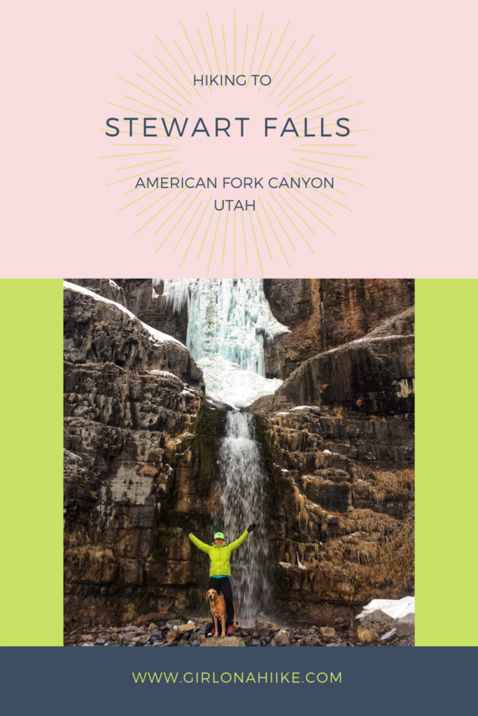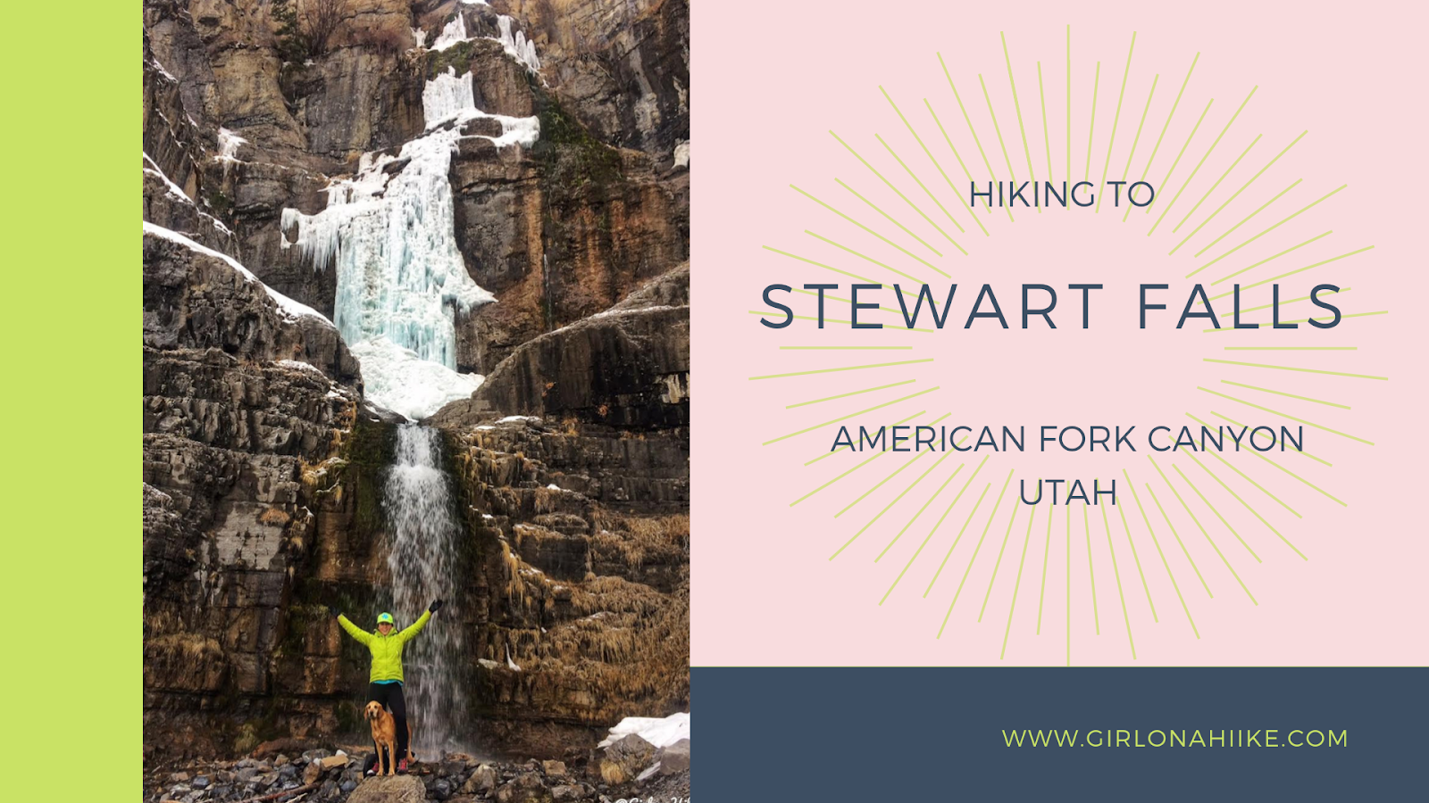
Hiking to Stewart Falls – A Scenic Waterfall Near Sundance, Utah
Stewart Falls is one of Utah’s most picturesque waterfalls, located near Sundance Mountain Resort in Provo Canyon. This beautiful two-tiered waterfall drops over 200 feet and is a favorite among locals and tourists alike for its accessibility, shaded trail, and stunning views.
Access Information
The Stewart Falls Trail crosses private property owned by Sundance Development Corporation, but thanks to a long-standing unspoken easement with the Forest Service, public access has been allowed. However, winter access is under review due to potential avalanche danger and liability concerns. Many winter hikers are not avalanche-aware, which could impact future access—so be cautious and respectful of posted guidelines.
Best Time to Visit
The ideal time to hike to Stewart Falls is late spring through fall, when:
-
Snow has melted and the trail is clear
-
The waterfall is flowing strong, especially during runoff season
-
Temperatures are mild and the trail remains shaded
Weekends can be very crowded, so arrive early to secure parking and enjoy a more peaceful hike.
Why Hike Stewart Falls?
Great for all skill levels – not too steep or long
Mostly shaded trail through alpine forest
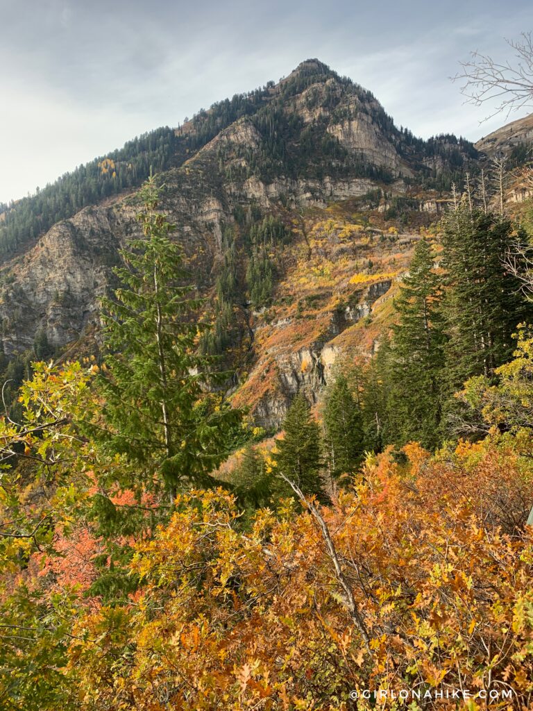
Beautiful views of Mount Timpanogos and surrounding peaks
Photogenic waterfall with smaller seasonal cascades nearby in spring
Final Tips
-
Bring plenty of water, especially in summer
-
Wear sturdy shoes – some sections can be muddy or rocky
-
Keep dogs leashed and hydrated
-
Be mindful of private land boundaries and practice Leave No Trace
Directions
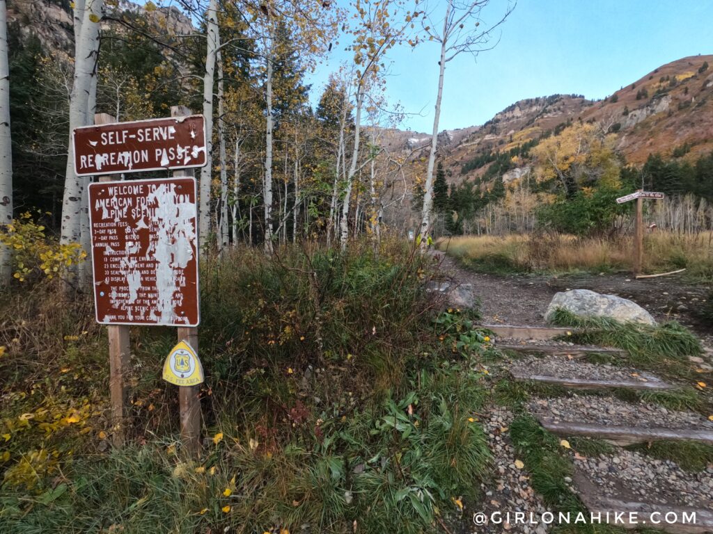
From SLC head south on I-15 for roughly 30 miles (depending on where you start from). Take exit 272 in Orem, heading East. Drive for 3.7 miles on this road, then veer left for Provo Canyon. Next drive another 6.7 miles, drive through the tunnel, then turn left at the brown sign for Sundance. Go past Sundance for 5 miles, until you reach the fee booth for the Alpine Loop Road.
Just after the fee booth, turn left into the large parking lot. From October to Memorial Day, the fee station is closed, but there is a self-serve fee station in the parking lot. If you are there only to hike, there is only one fee option – the 3-day pass which costs $6. There are restrooms in the parking lot.
Trail Info
Hiking to Stewart Falls: What to Expect
The trail starts right by the restrooms.
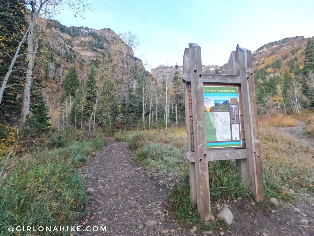
Immediately take a left at the next sign.
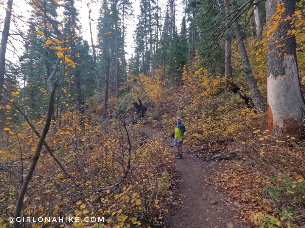
The trail is very well-shaded, especially for the first half of the hike.
Pass a water tank on your left.
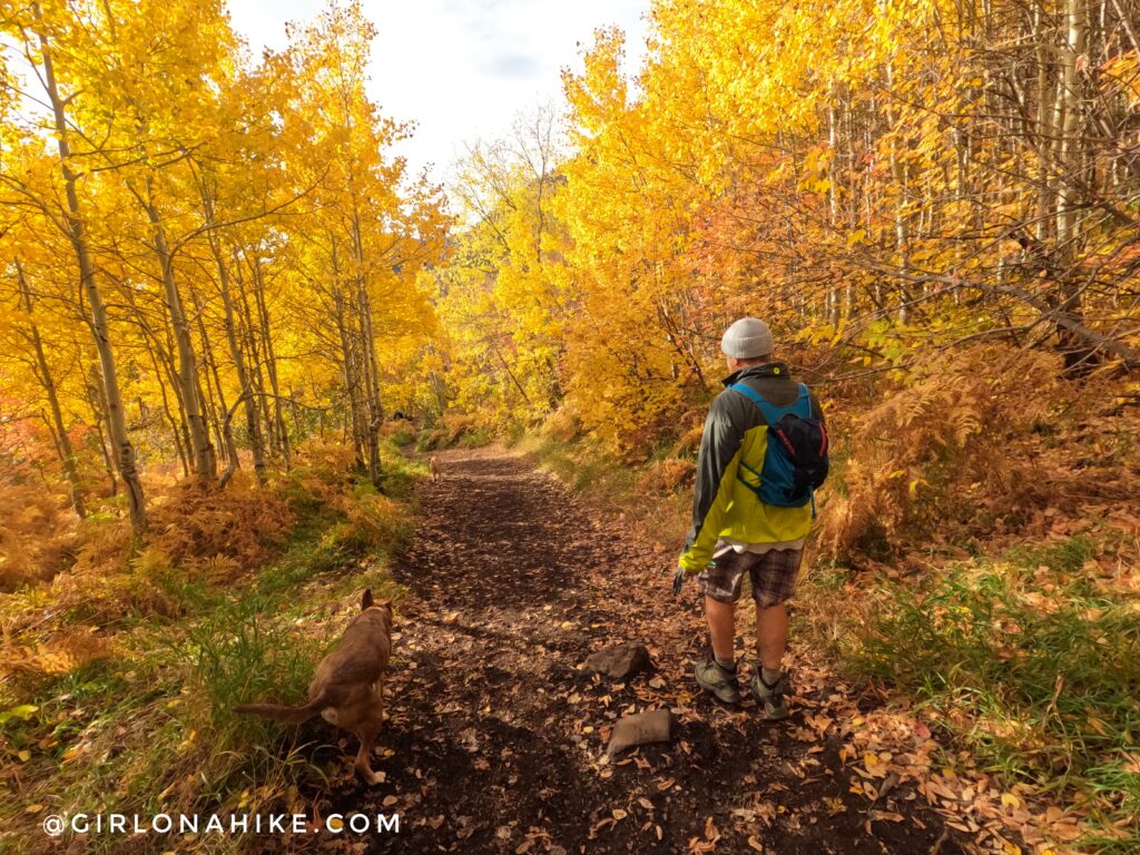
Fall offers amazing views and colors!
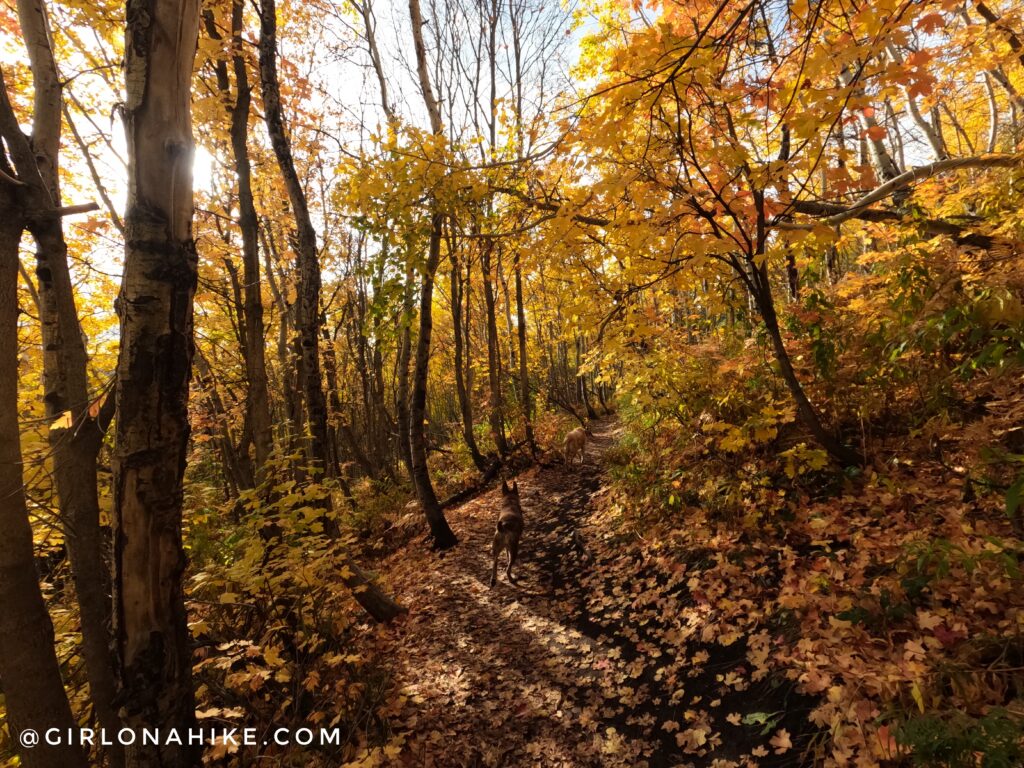
Ahh can’t get over these yellow Aspen trees! October is such a beautiful time to hike here.
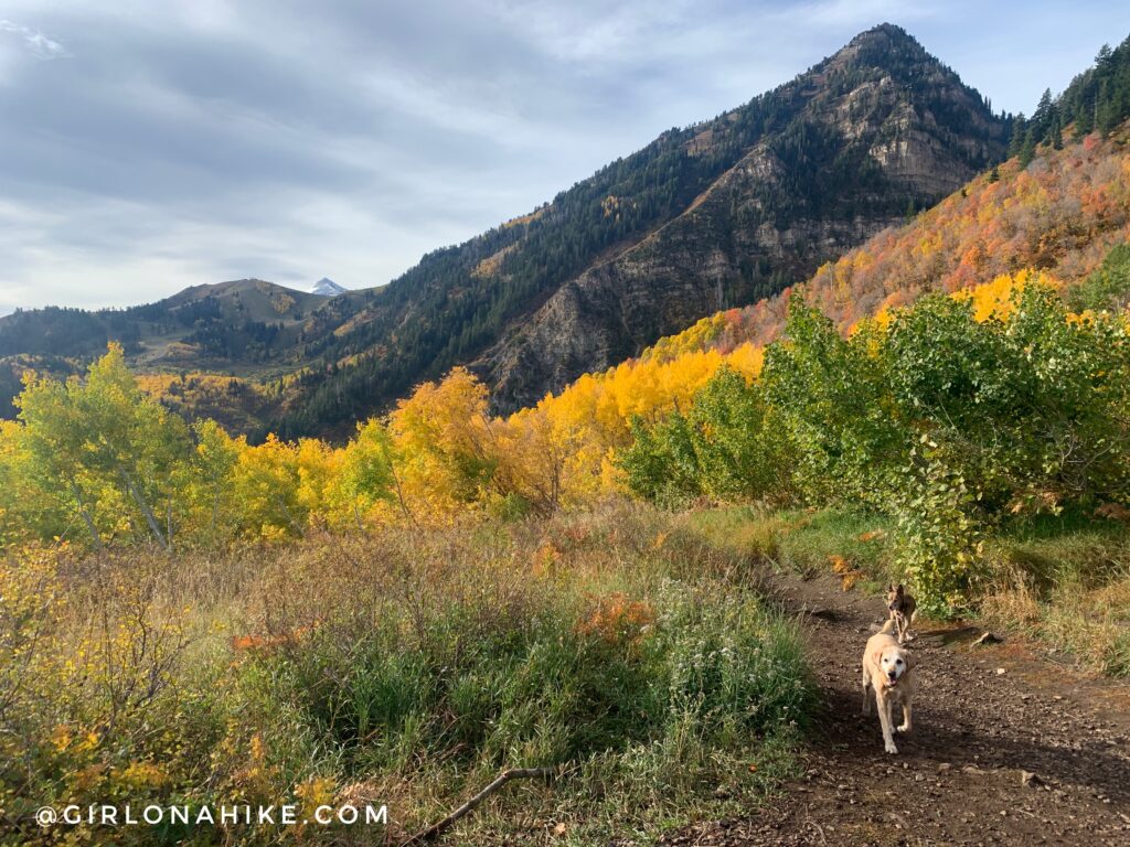
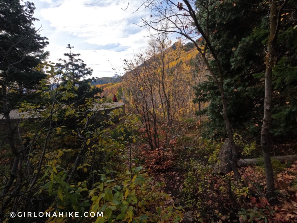
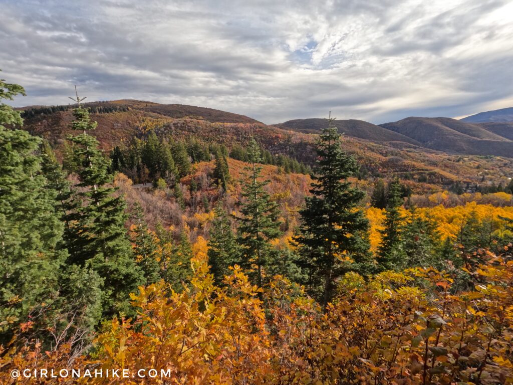
The halfway point is this very nice opening with more great views. You still can’t quite see Stewart Falls yet though. Keep going!
You will then hike downhill for the rest of the hike.
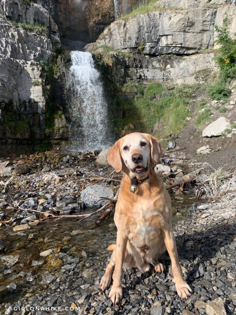
After turning a corner you can see and hear Stewart Falls – can you spot it?
Base of Stewart Falls
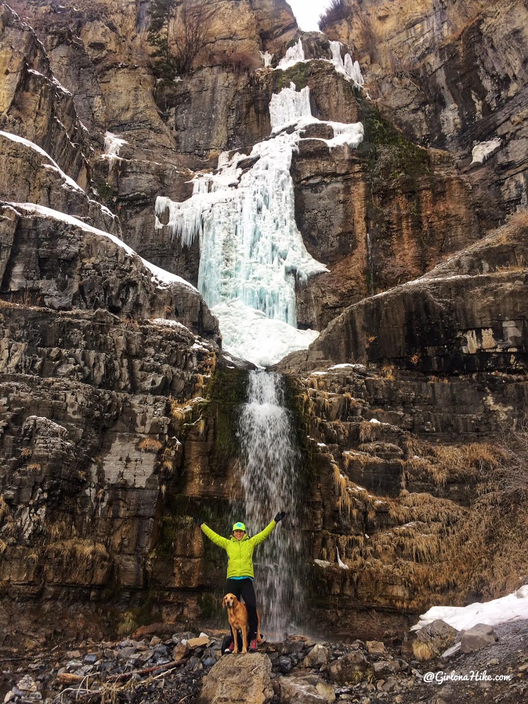
Winter
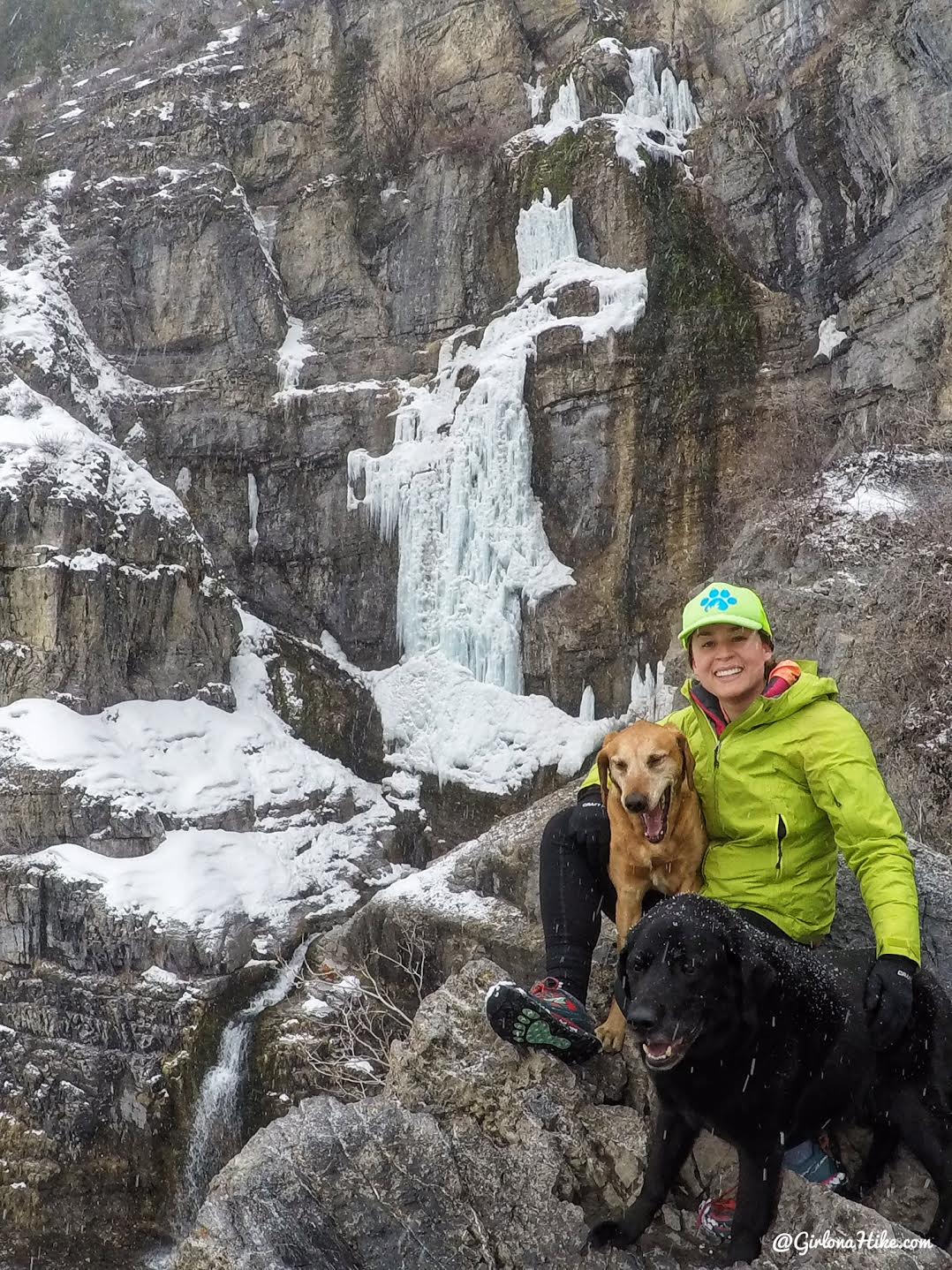
This is a fun winter hike as long as Avalanche Danger is “safe”.
This was in 2018, a very low snow year so Stewart Falls wasn’t as impressive with snow this time.
Trail Map
My track via Gaia GPS – the best tracking app! Get your app here for a discount.
Nearby Hike
Hiking to Timp Falls, Aspen Grove Trail

Save me on Pinterest!