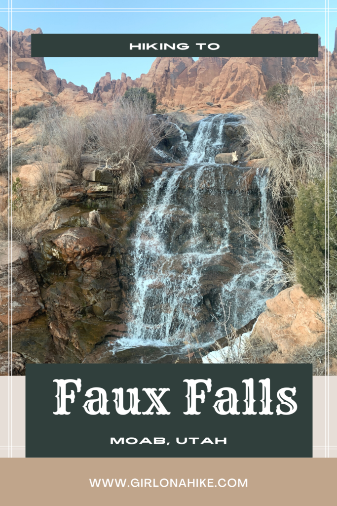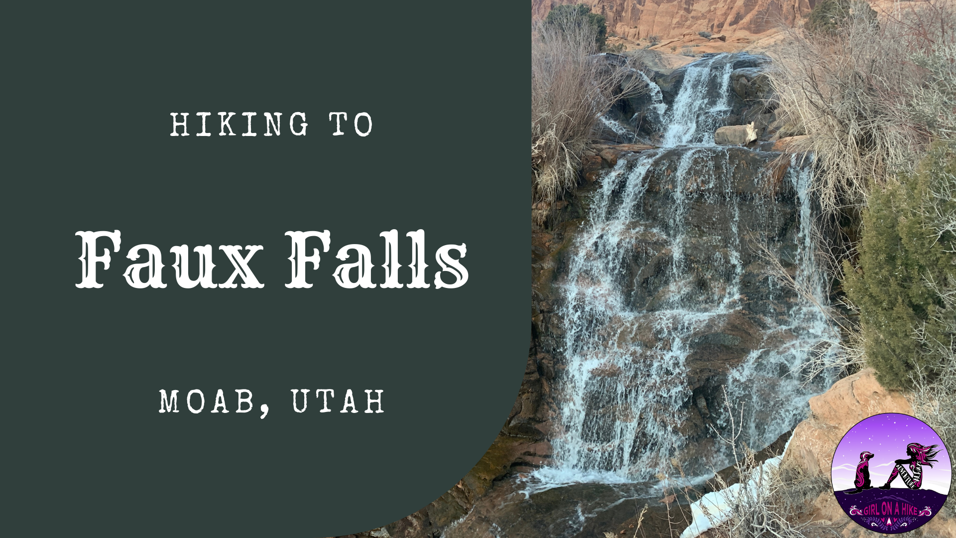

Faux Falls in Moab is a very short walk, that the whole family will enjoy. “Faux” is French for “false” or “fake”, hence the name. Faux Falls was built in 1981 along with Ken’s Lake, when a drought in the early 1970s pressed for the need of more water for Moab and surrounding areas. Ken’s Lake is named for the then District Chairman, Ken McDonald, and the lake was dedicated for irrigation purposes in the upper Spanish Valley – long known as “Poverty Flats” because of its lack of water. It cost $4 million dollars to build the 96 ft high dam to hold an estimated 2,750 acres of water that allows for the cultivation of roughly 900 acres of land.
About
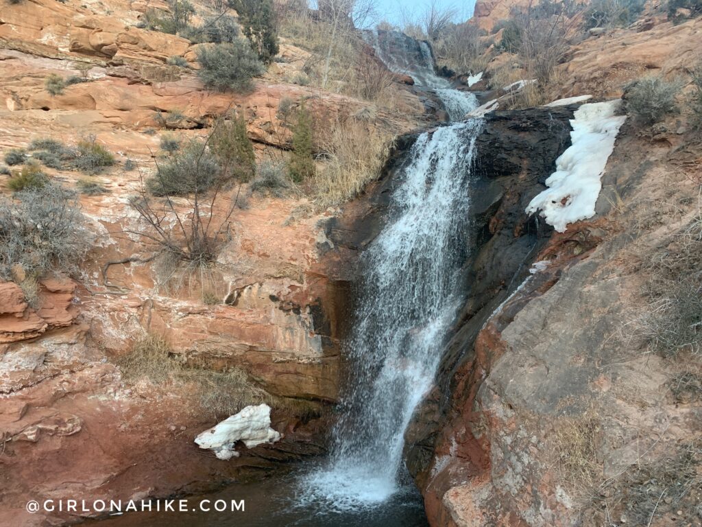
Though this “faux falls” isn’t natural, it sure feels like a real waterfall. The 2-3 foot deep pool at the bottom makes for a great shallow swimming area for kids and dogs. The water was too cold for me to get in all the way, but the mist flying all around the falls felt very refreshing, especially since we had been camping for the past two nights, and hiked The Fisher Towers trail & Mill Creek. A few years ago you could drive up with within 100 yards of the falls; now, the road has been washed out and you need to hike the easy 0.5 mile dirt road to the “official” trail head.
Directions
From Moab, head south on HWY 191 for about 7.5 miles (mile marker 117.9). Turn left at the brown sign for Ken’s Lake and the La Sal Scenic Drive. At the first stop sign, turn Right, then at the “Y” in the road, veer left. At the next intersection, turn left again for Ken’s Lake. This paved road will turn into a dirt road. Once it turns to a dirt road, drive down for 0.5 miles, then turn left into the campground. Park at the first small parking area on your right, across from two campsites. There are no signs, except for a small sign in the dirt road where the “trail” starts saying the road has been washed out. Here is a driving map.
Trail Info
Distance: 1 mile RT
Elevation gain: 85 ft
Time: 1-3 hours, depending on how long you explore
Dog friendly? Yes, off leash
Kid friendly? Yes
Fees/Permits? None
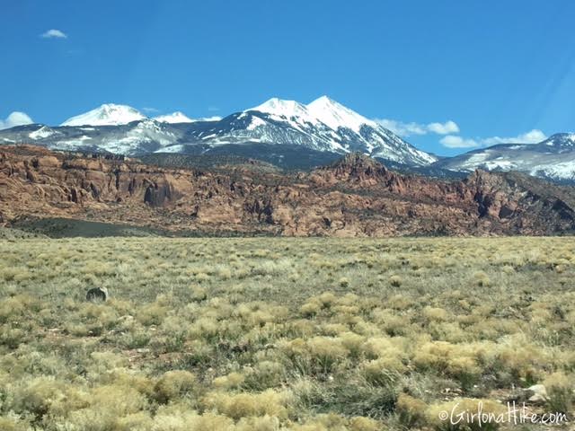
Driving to Faux Falls, you will have beautiful views of the La Sal mountains.
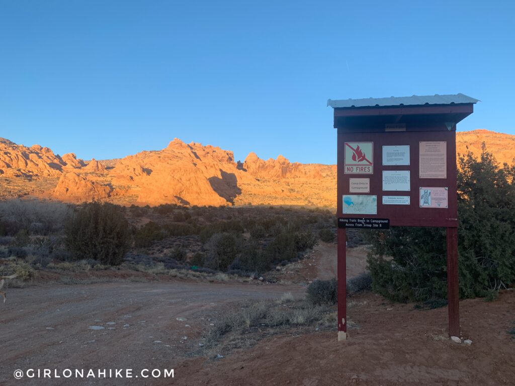
You are at the right place, when you see this sign. There is parking just before, and to the right of this sign. There is space for only 4-5 cars.
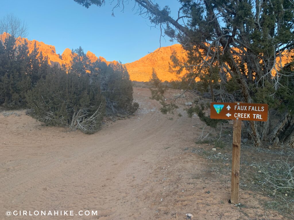
Following the dirt road is easiest, but if its hot out walk along the creek trail. Both take you to Faux Falls.
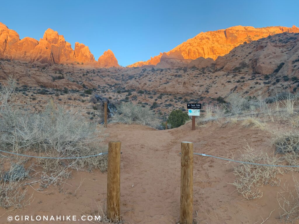
“Official” Trailhead. You can see Faux Falls ahead.
Walk down the sandy trail for 100 yards until you reach the falls.
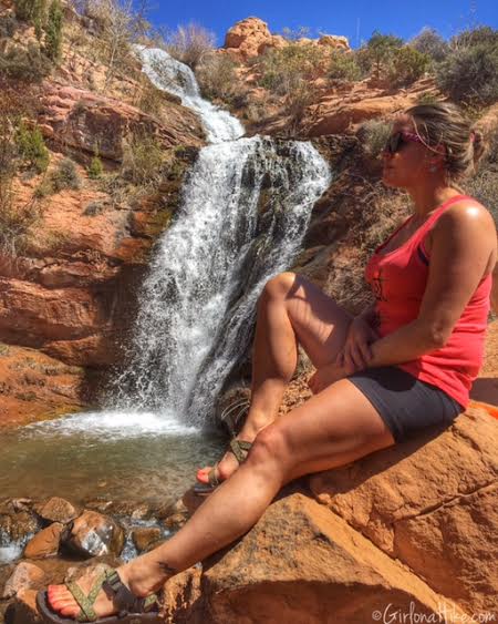
Soaking up the sun my first time here in April 2016! The water was fun to play in up to my legs, but I couldn’t build up enough confidence to stand under the falls.
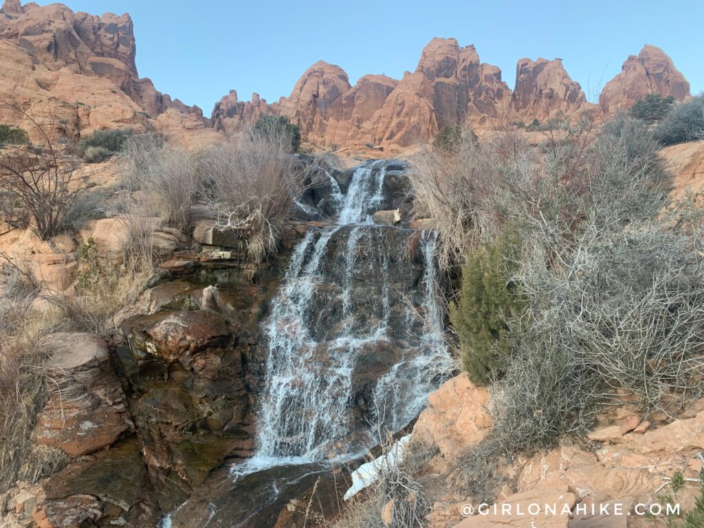
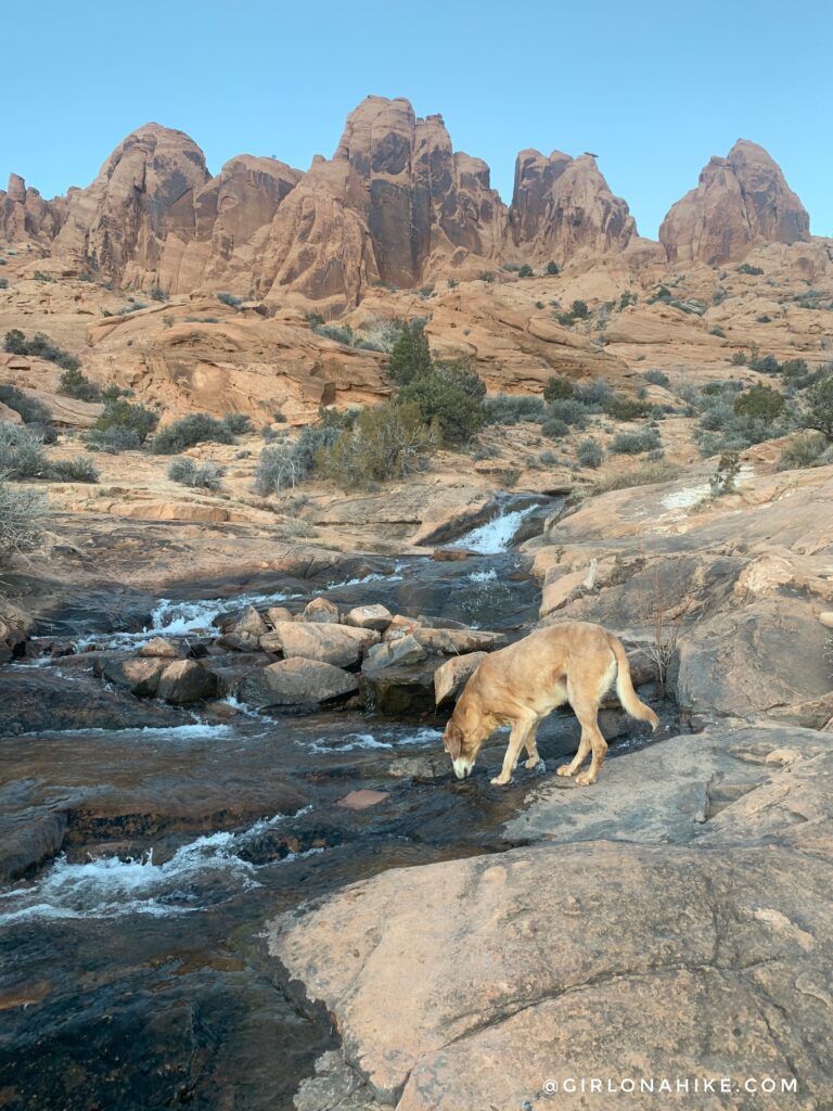
It’s also nice to explore above Faux Falls along the creek.
Trail Map
My track via Gaia GPS – the best tracking app! Get your app here for a discount.
Nearby Hike
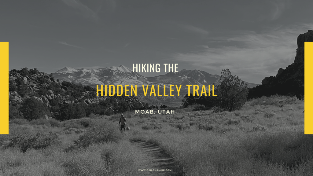
Hiking the Hidden Valley Trail, Moab

Save me on Pinterest!