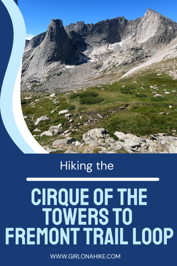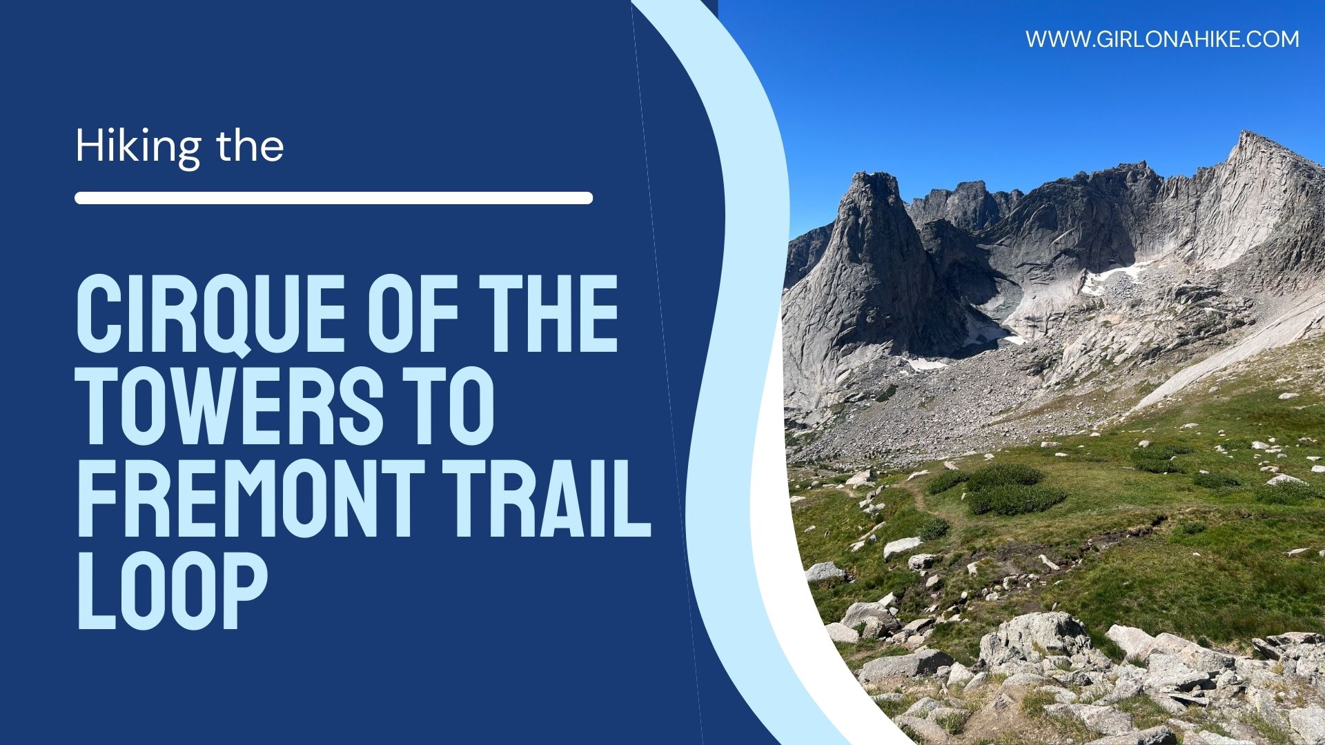
Hiking the Cirque of the Towers to Fremont Trail Loop in Wyoming’s Wind River Range offers a thrilling 25-mile adventure. Whether you decide to trail run this one a day or take a few days to backpack it, its an epic, rewarding hike!
About
Hiking the Cirque of the Towers to Fremont Trail Loop in Wyoming’s Wind River Range offers a thrilling adventure, beginning with the quieter, less-traveled Fremont Trail. As you embark on this journey, you’ll traverse expansive high-altitude plateaus, where the vastness of the Wind River Range unfolds before you in all its rugged beauty. The early part of the hike offers sweeping views that extend for miles and the solitude of the wilderness offers a sense of peace and connection to the natural world.
Hiking this loop clockwise is recommended for several reasons. Primarily, the ascent to Texas Pass from Barren and Texas Lakes involves a 700-foot elevation gain over just 0.3 miles, making it a steep but brief challenge. In contrast, approaching Texas Pass from the base of Lonesome Lake requires a more strenuous climb of 1,300 feet over 1 mile. For many hikers, the shorter, steeper ascent is preferable to a longer, sustained effort. Additionally, this route allows you to experience the most breathtaking views during the second half of the loop, ensuring that the hike concludes on a particularly rewarding note.
As you progress clockwise, the anticipation builds, culminating in the approach to the Cirque of the Towers. This iconic alpine amphitheater, with its towering granite spires like Pingora and Warbonnet Peaks, is a dramatic finale to the loop. The descent into the Cirque is steep and challenging, but the breathtaking scenery makes every step worth it. You’ll pass by pristine alpine lakes and cross crystal-clear streams, with wildflower-filled meadows adding a splash of color to the rugged landscape. Ending the hike in the Cirque of the Towers is a true reward, offering a powerful sense of accomplishment and awe as you take in one of the most stunning vistas in the Rockies. Whether you’re a seasoned backpacker or seeking a new challenge, this clockwise loop offers an unforgettable experience in the heart of the Wind River Range.
This route is best in mid-July through September when the trail is dry and free from snow. Dogs are allowed off leash, but of course I wouldn’t recommend they do the 25 mile route in a day.
Directions
It is easiest to type in “Big Sandy Trailhead” into Google Maps. From SLC its about a 4.5 hour drive.
Trail Info
Distance: 25 miles
Elevation gain: 4,100 ft
Time: All day as a trail run, or 2 nights 3 days is a typical backpacking time frame
Dog friendly? Yes, off leash. Not recommended for a day hike.
Kid friendly? Yes, ages 9+ (again, not as a day hike but backpacking yes)
Fees/Permits? None
FAQs
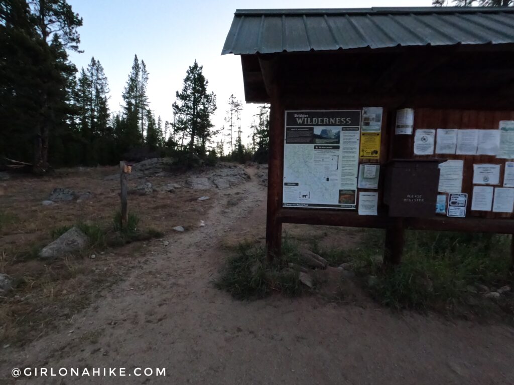
Offical trailhead, and ready to go at 6am!
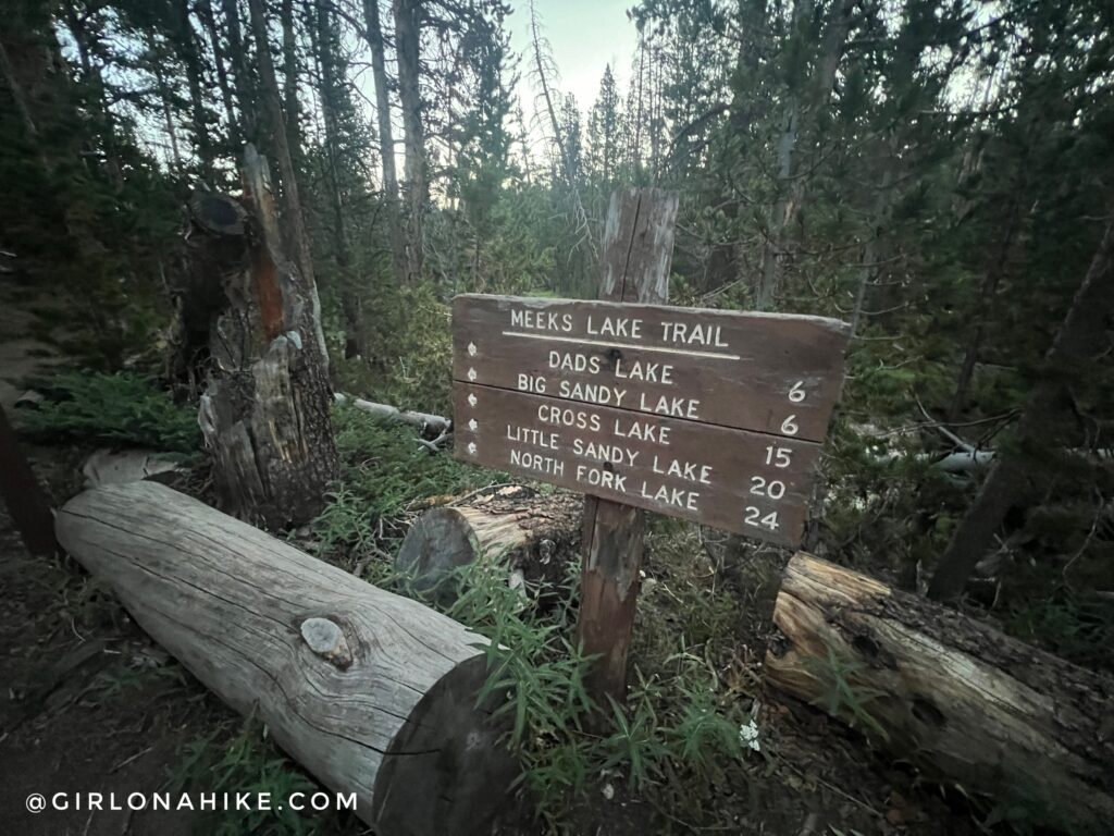
To do this trail clockwise, stay straight following signs for Dads Lake.
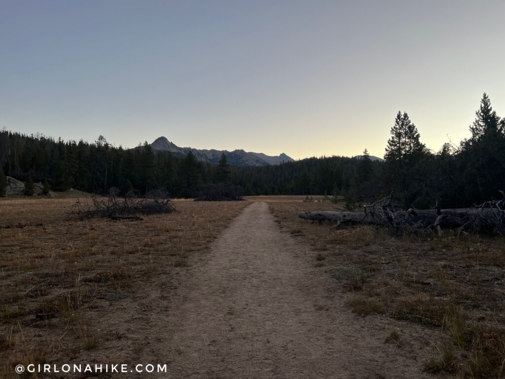
What a pretty moring! Even in mid-August the morning can be pretty chilly! It was 45F when I started.
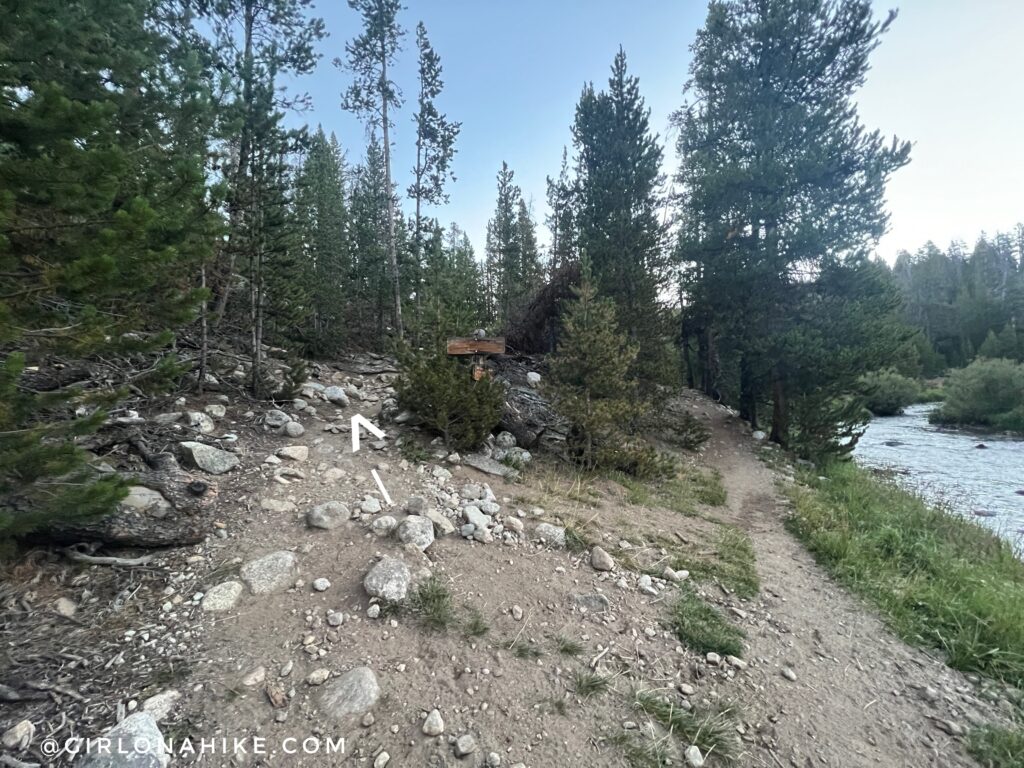
At the next signed split, stay left for Dads Lake. This is where you will come back on the right, when completing the loop.
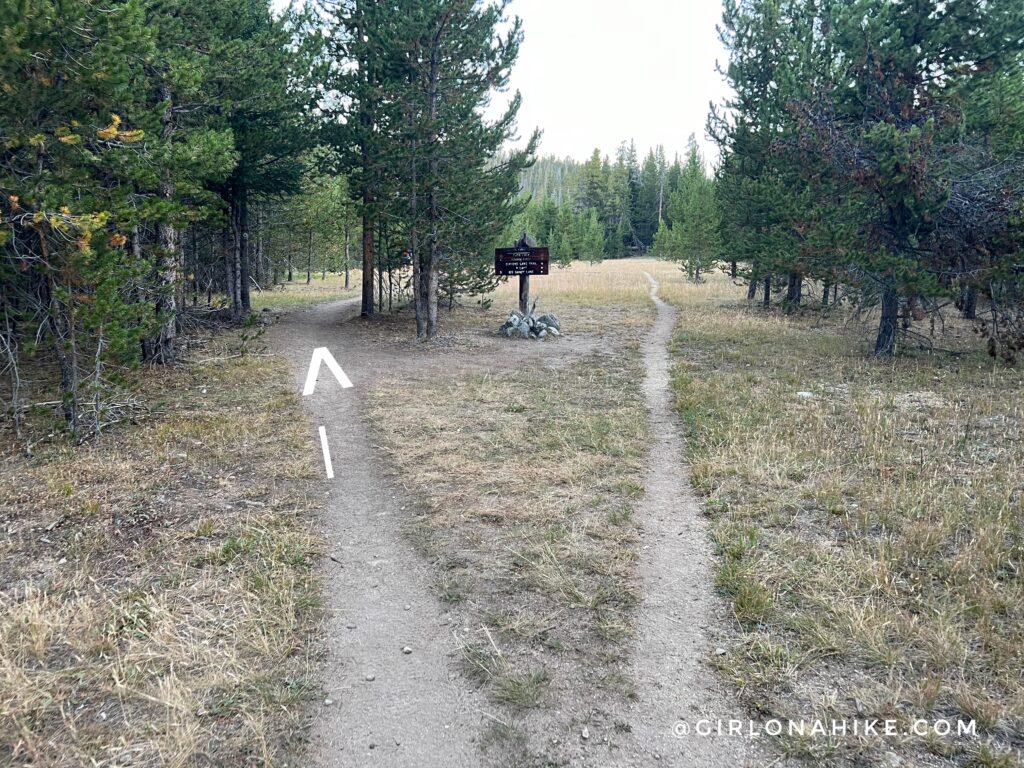
After hiking through a small forested section, stay left again.
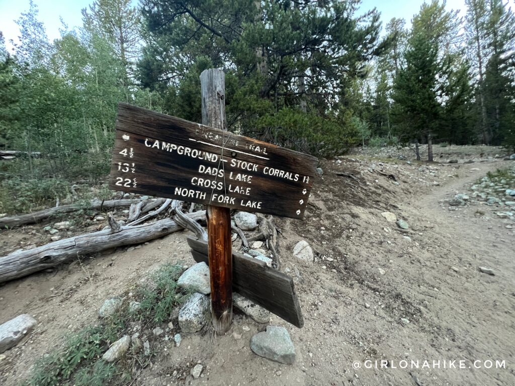
And then quickly take a sharp right turn. Thankfully, all of the signs are well marking on this route.
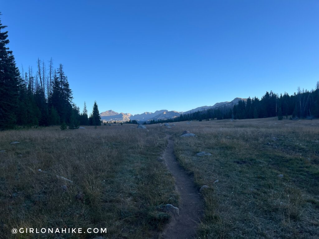
Finally the views start to open up and the trail becomes easier to run. In this meadow I saw two bull moose!
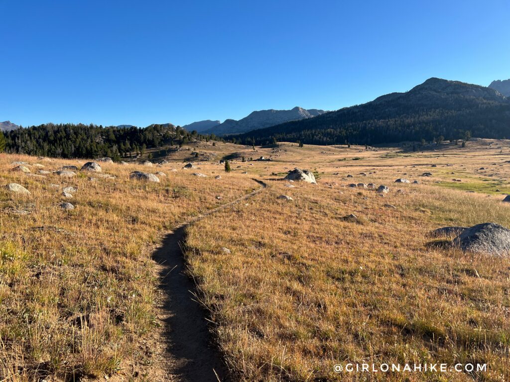
Once the sun rose over the ridge, it started to warm up quickly. It sure felt like Fall was on its way! I just loved this gold field.
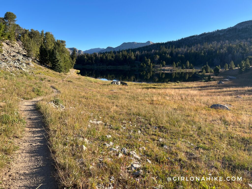
First you pass the small, Mirror Lake.
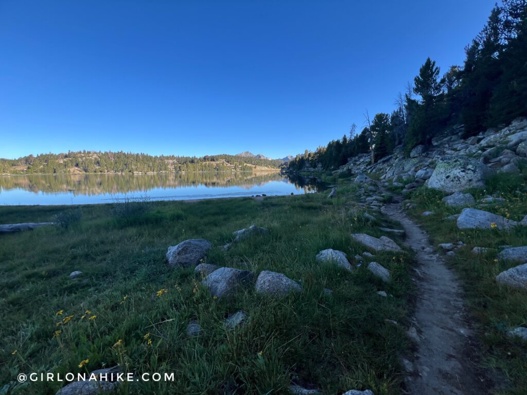
Then you’ll reach Dads Lake, about 5.5 miles into the hike. There are several great camping spots around this lake.
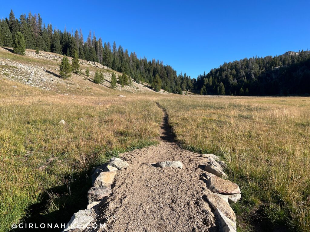
Once again, you’ll hike through a mix of grassy fields and forested sections.
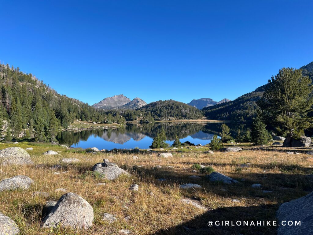
AT 6.8 miles you will now be at Marms Lake, another great spot to camp for the night.
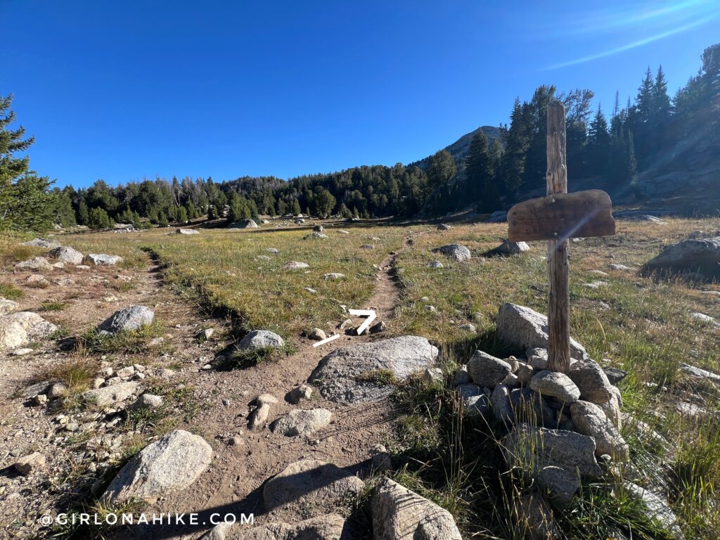
On the other side of Marms Lake, turn right at the split.
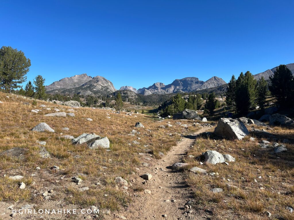
You will wind your way up and through a small gulley, then gradually get great views again.
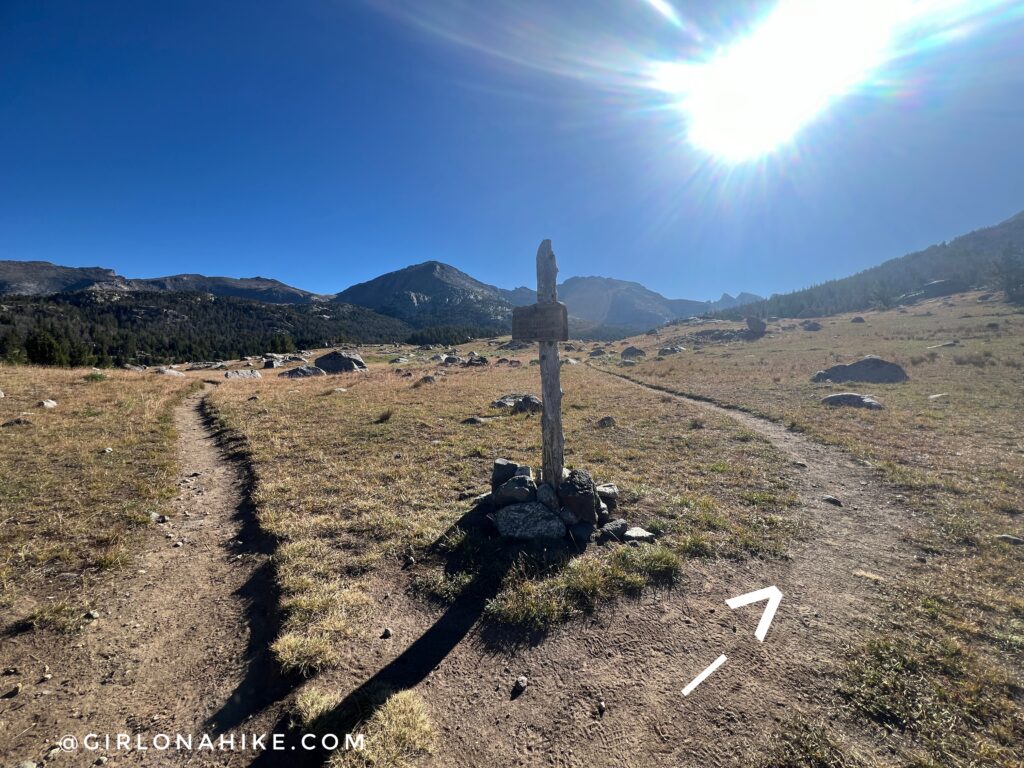
Mile 8.8 is probably the most important trail split – this leads you into the Texas Pass basin!
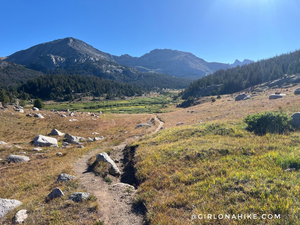
As soon as you round the corner from the trail split, you will have amazing views of the valley. You won’t be able to see Texas Pass for a few more miles.
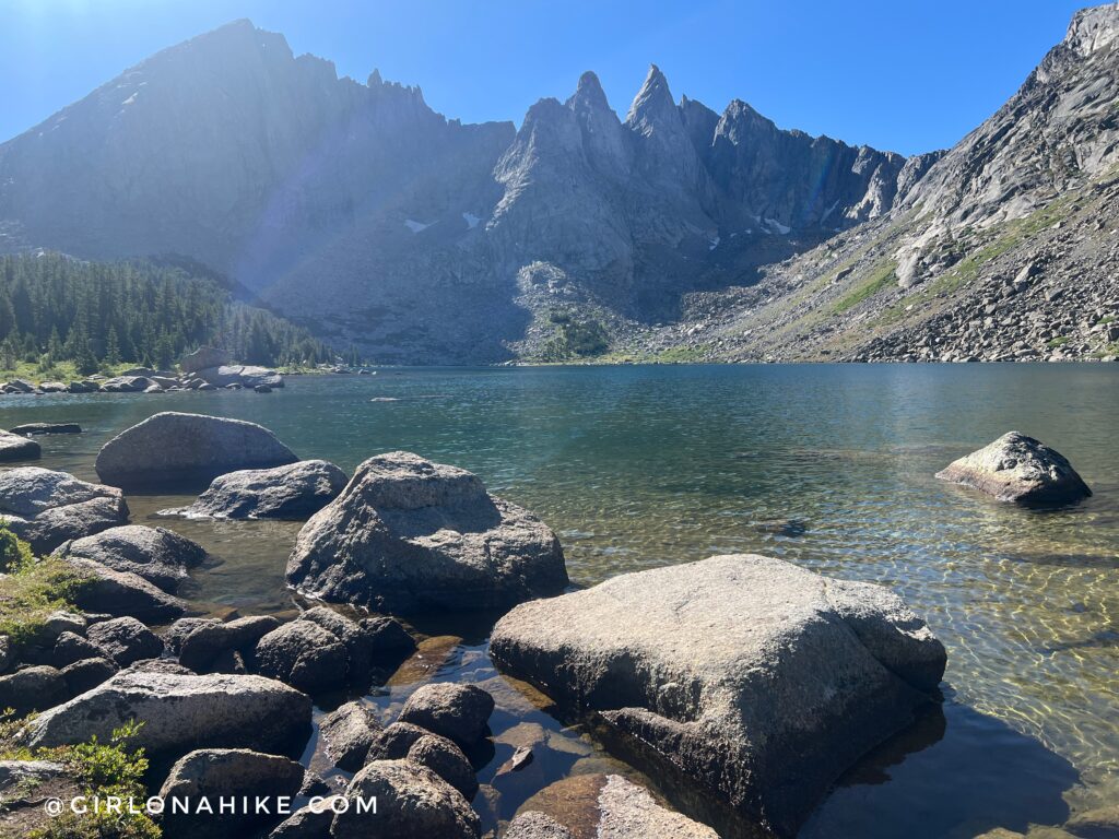
First, a quick stop by Shadow Lake. The water here was so clear and cold! This was my favorite lake of the route actually – I just couldn’t get over how pretty it was on the backside of the Cirque of the Towers.
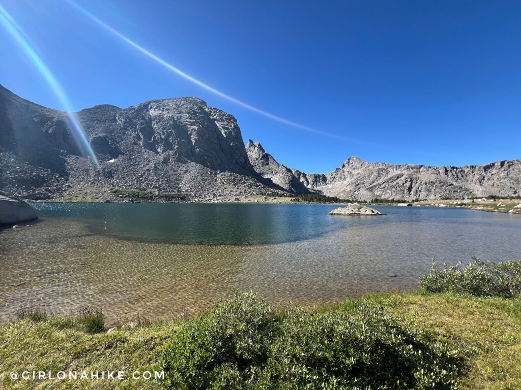
A little further up was Bill’y Lake at 12 miles. This lake had a really neat, sharp drop off where the water got deep, creating this sandy beach area.
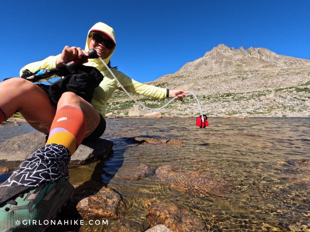
At mile 12.7 at Barren Lake, I finally needed to filter water. I wanted to make sure I had enough to get me over Texas Pass. I use the MSR Hyperflow and love it! So great for day hikes.
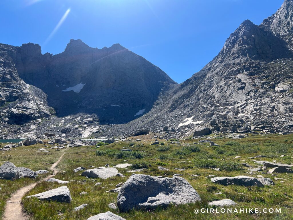
And finally, at mile 13.2 (a half marathon distance!), you’ll reach the base of Texas Pass! It looks intimidating but its really not that bad.
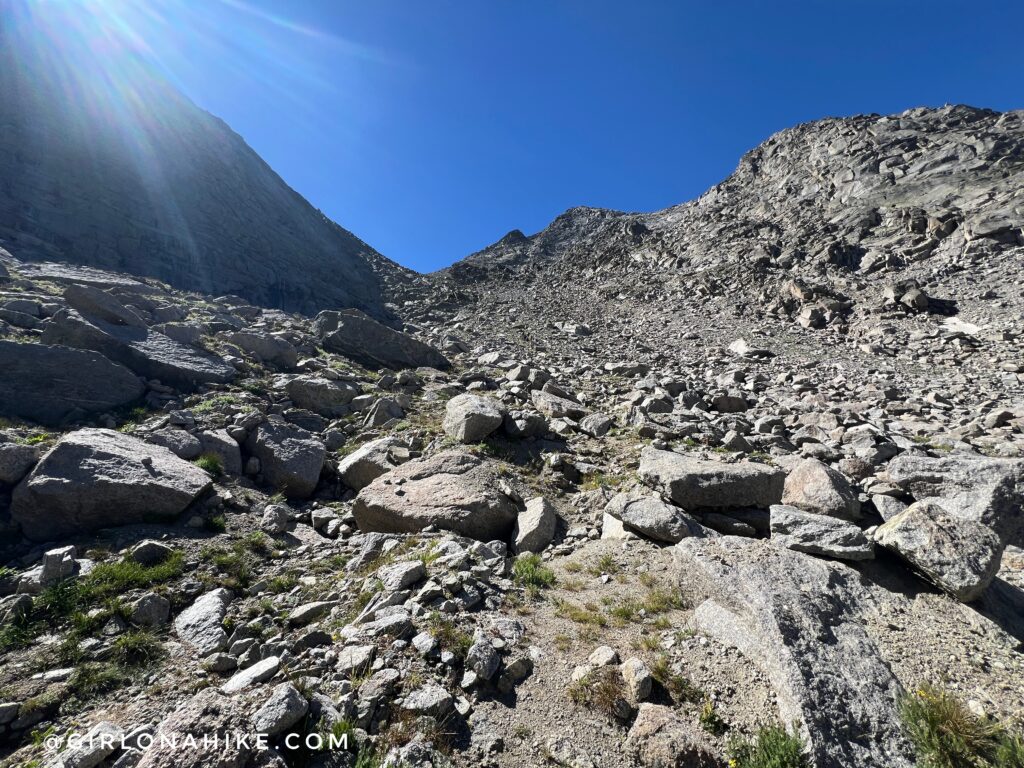
There is “kind of” a trail if that makes sense. There are cairns here and there, but the very sandy “trail” is basically straight up.
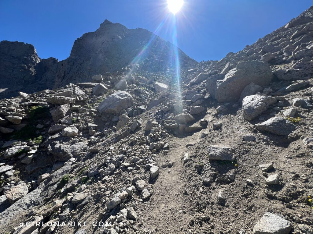
It sure is a great workout! It only took me about 20 minutes to reach Texas Pass from the base of it. I was so slow because 1) I had already done 13 miles and 2) at this point you’re around 11,000 ft so my heart rate was pretty high and I was trying to keep it under control.
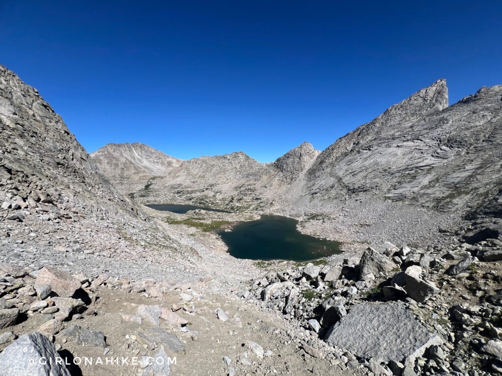
Looking back at Barren Lake and Texas Lake! So cool.
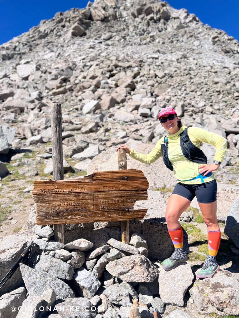
Ahh finally, Texas Pass at 11,300 ft! There were several people at the pass so it was nice to have someone grab a pic! Too bad the sign isn’t more legible.
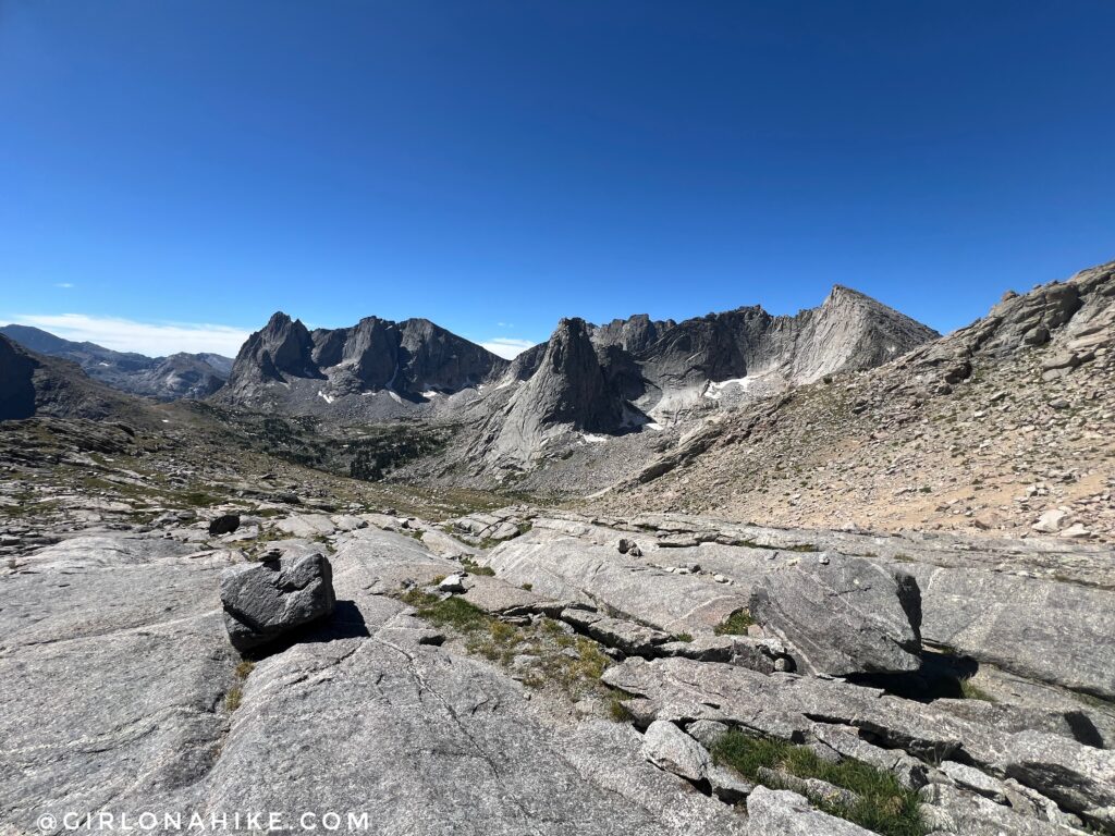
Wow! Finally, the first view of the Cirque of the Towers!
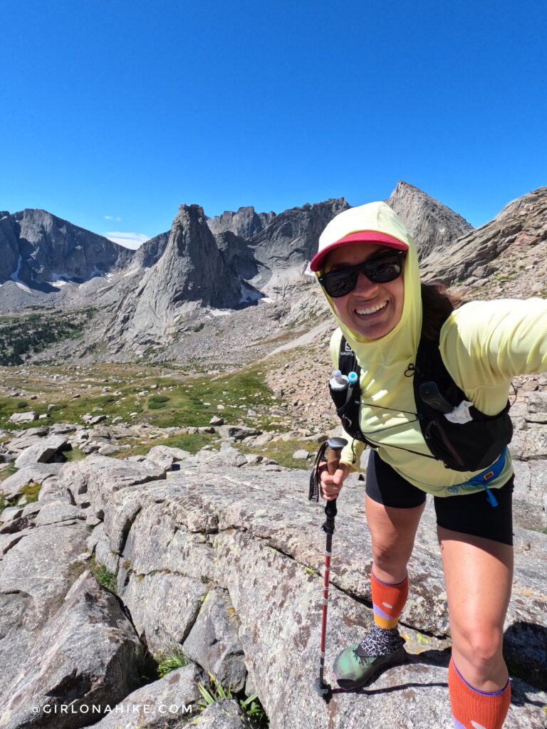
I was so giddy with excitement – I just love it here! Right behind me is Pingora Peak.
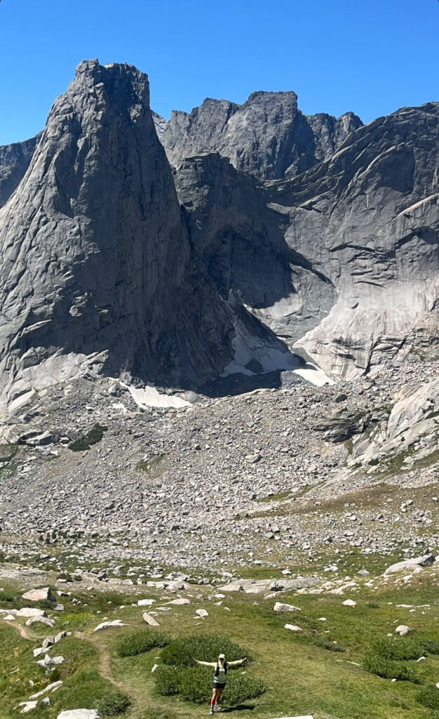
I kept leap-frogging two of my trail runner friends I know from Instagram, and they got this cool shot of me! It really shows how impressive the peaks are and how small they make you feel. Thanks, Marcy!
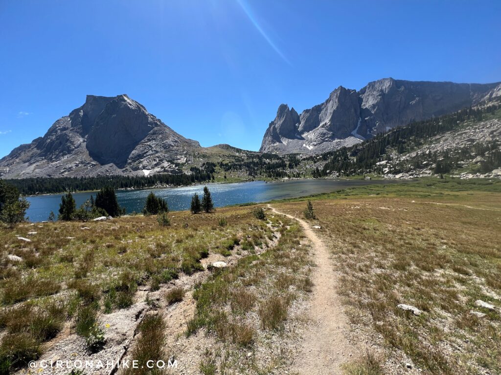
When I reached Lonesome Lake, I decided to hike around the backside this time since last time I went around the front, or more popular area. You can see those pics in my other blog post, Backpacking the Cirque of the Towers few years ago,
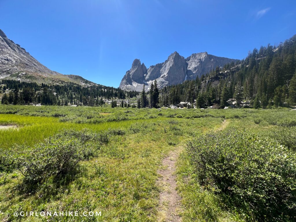
Going around this side of Lonesome Lake was really pretty too! Seriously, there are no bad views on this loop.
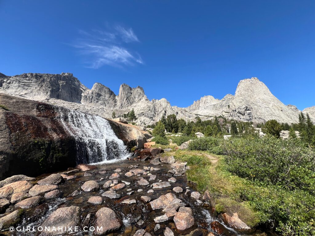
Last time I didn’t visit the waterfall, so I made a point of doing so this time. Gorgeous!
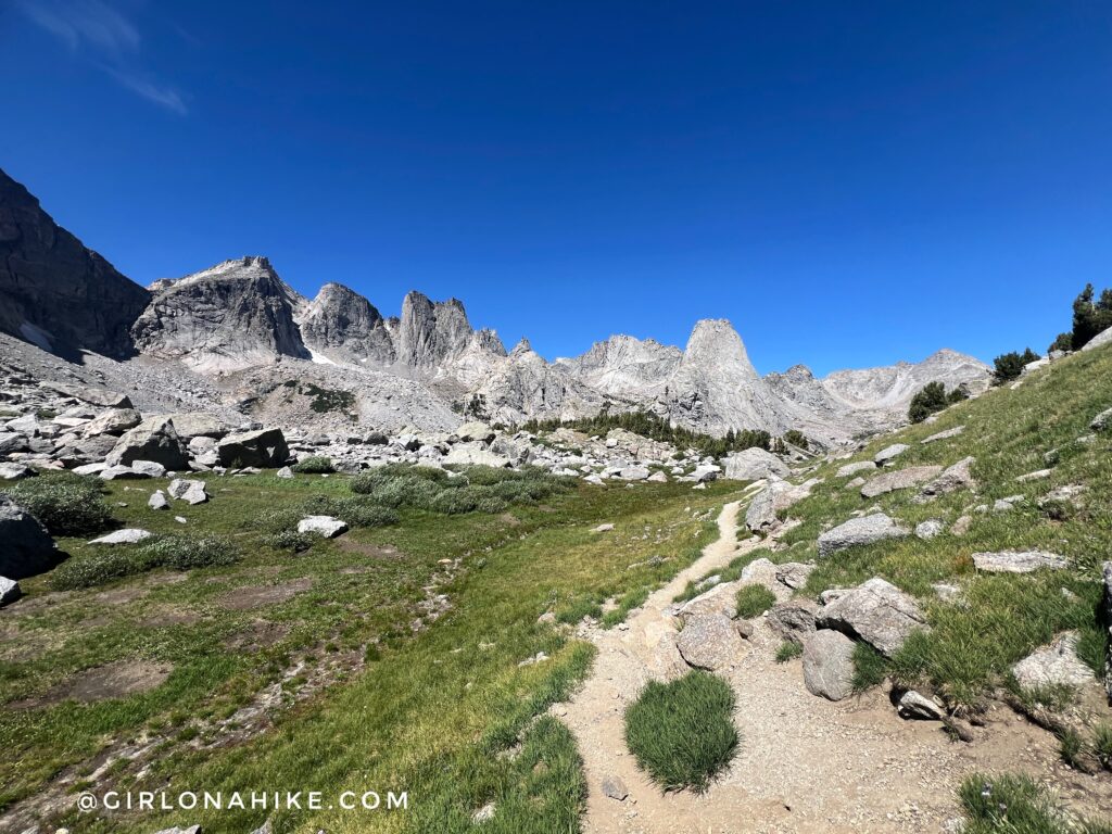
Looking back from where I came from. Wow!
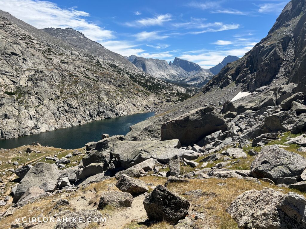
I also decided to bypass the top of Jackass Pass, and stay lower and drop down through Arrowhead Lake at mile 16. It had very large boulders, almost as big as dumpsters! But very doable, following cairns.
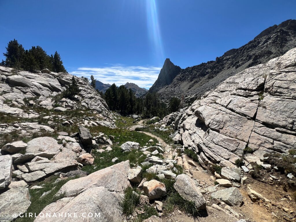
Now I was back on the main trail headed towards Big Sandy Lake.
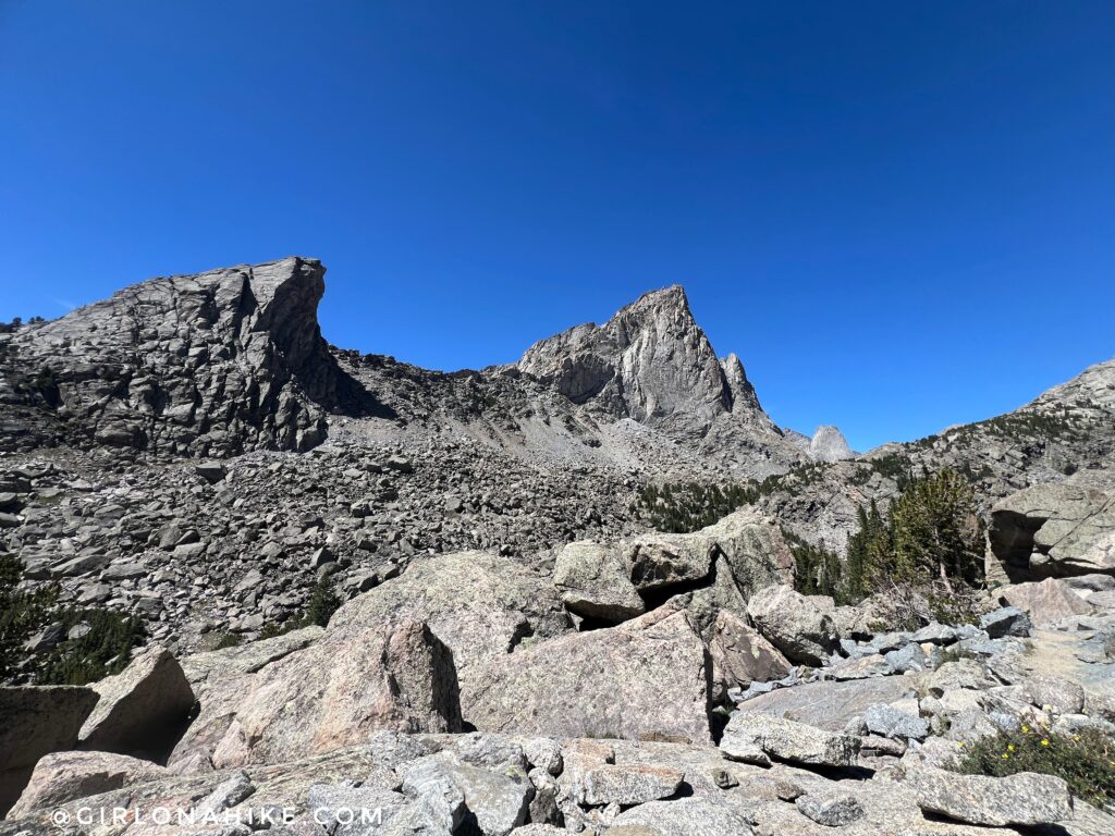
Looking over to Warbonnet Peak. I love the swooping angle of it!
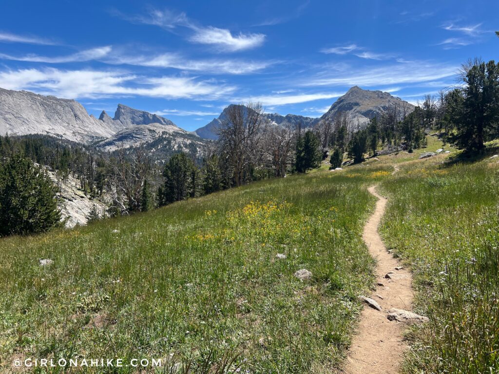
Ahh, such a nice, easy part of the trail. This entire area of the Cirque of the Towers is quite rocky, so this was a nice break from the rocks.
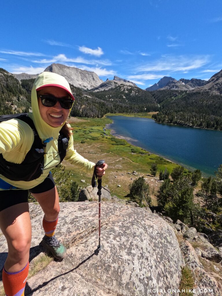
At mile 18.4 I reached Big Sandy Lake. On the home stretch now!
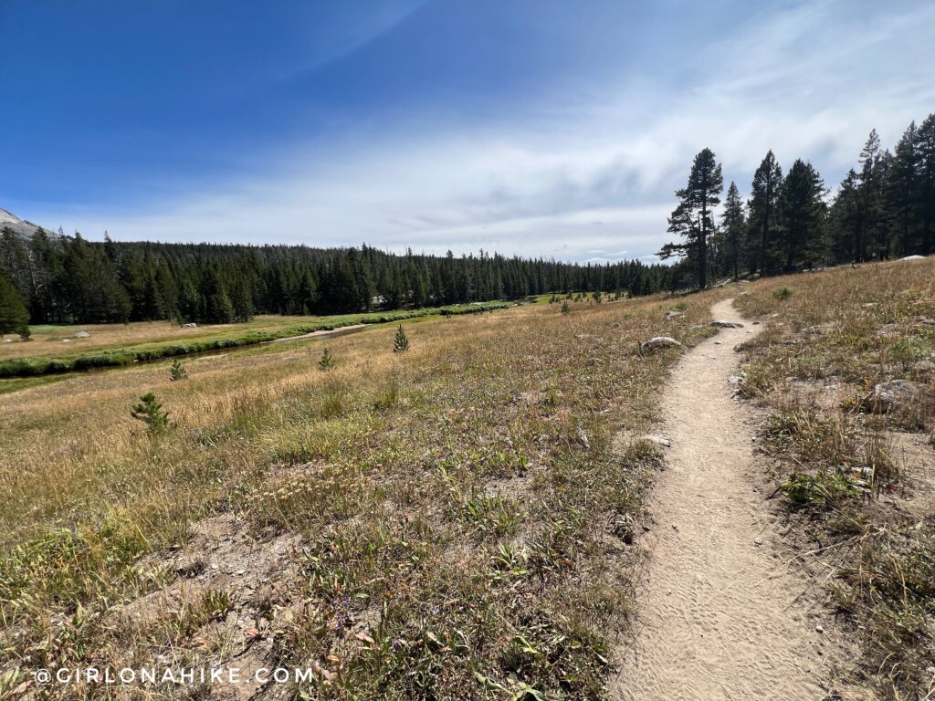
By this point it got really hot and the trail was sandy. The last roughly 4 miles pretty much looks like this. Thankfully it’s flat!
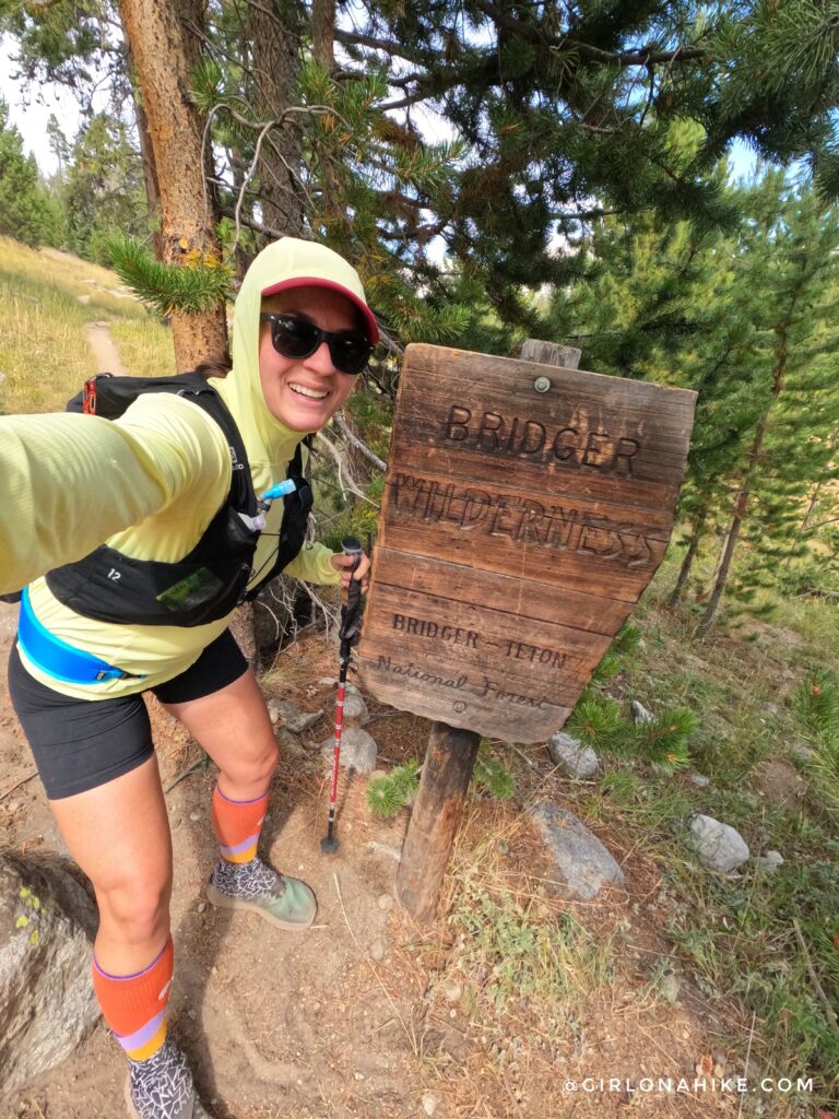
Official Bridger Teton National Forest sign! After 25 miles I was back to camp and DONE! This route took me just over 9 hours. That includes all breaks like eating, bathroom breaks, and filtering water. While it was a long day I loved every minute and its one of my top 5 favorite trail runs ever!
Watch the video!
Trail Map
My track via Gaia GPS – the best tracking app! Get your app here for a discount.
Nearby Hike
Don’t want to do the loop? Try backpacking the Cirque of the Towers as an out and back instead – read here!

Save me on Pinterest!
