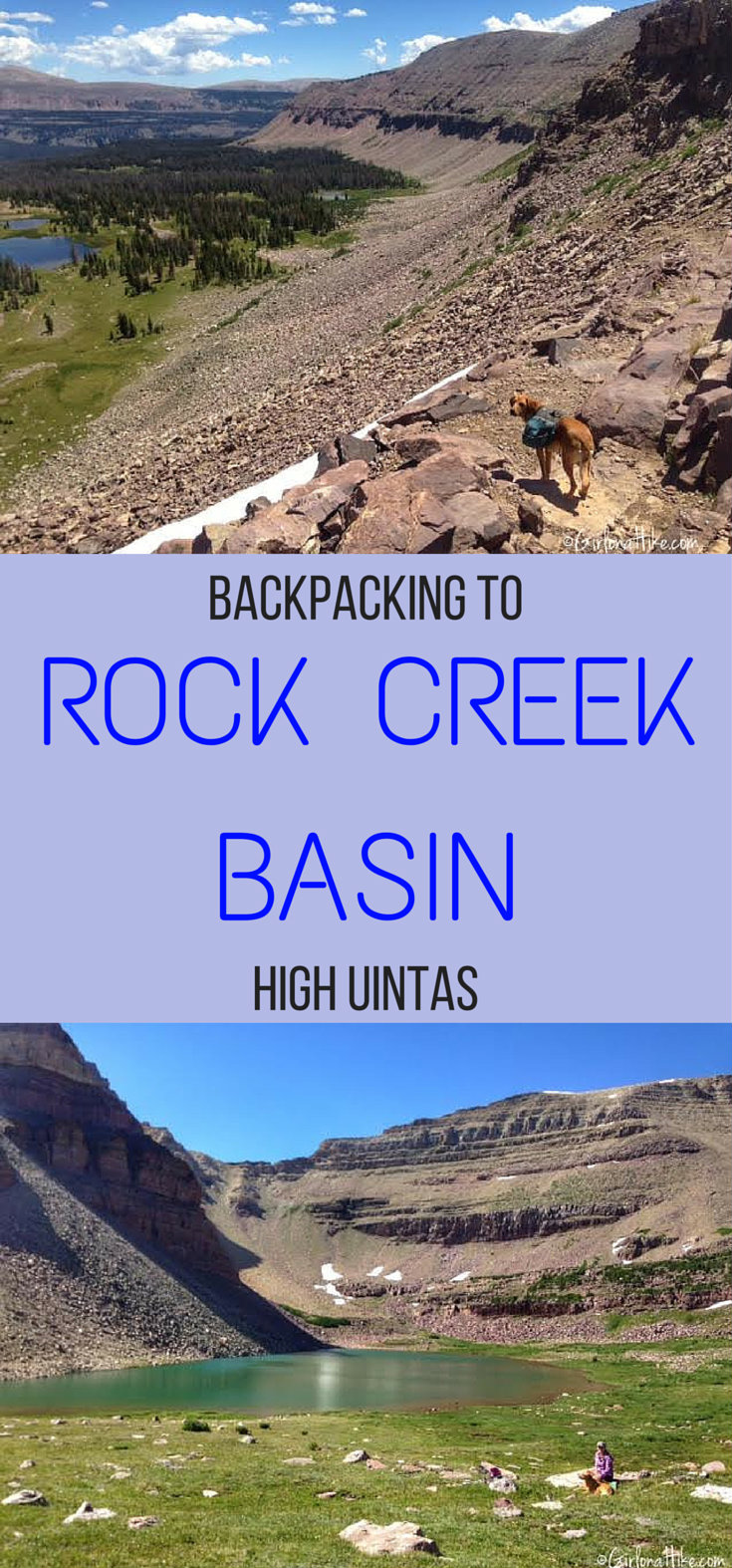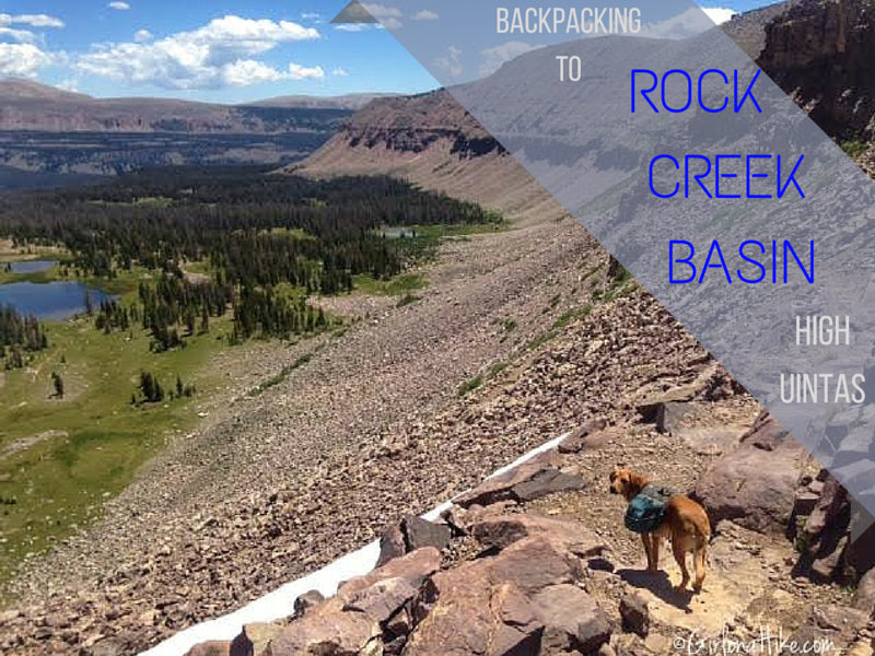
Backpacking Rock Creek Basin – High Uinta Wilderness, Utah
Rock Creek Basin is one of the most stunning and remote areas in the High Uinta Wilderness. Tucked between Rocky Sea Pass and Dead Horse Pass, reaching this alpine paradise requires at least a 9-mile hike, depending on your chosen trailhead.
About
To truly experience the beauty of Rock Creek Basin, I recommend spending a minimum of two nights in the area. While some backpackers squeeze it into a single overnight trip, it won’t give you enough time to explore the many lakes and side trails that make this place so special.
How to Reach Rock Creek Basin
There are three main access routes to Rock Creek Basin:
-
Highline Trail via Hayden Pass (most popular and scenic)
-
West Black’s Fork Trail
-
Rock Creek Trailhead from Stillwater Reservoir
Our group chose to hike in via the Highline Trail starting at Hayden Pass, which brought us 10 miles to our base camp lake. This route bypasses the Naturalist Basin junction and crosses over Rocky Sea Pass.
Exploring Rock Creek Basin Responsibly
Due to the fragility and beauty of this alpine region, I’ve chosen not to name every lake in this post. Rock Creek Basin remains relatively untouched, and I hope it stays that way. With some map reading, route finding, and a bit of research, you’ll discover many hidden gems on your own.
Rock Creek Basin is massive, and even with two nights in the backcountry, we only saw eight other backpackers. If you’re seeking solitude, you’ll likely find it here.
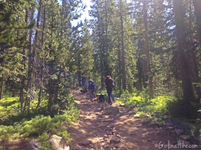
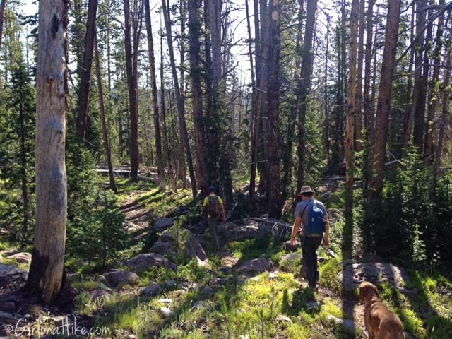
What to Expect on the Highline Trail
The first stretch of the Highline Trail can be quite busy—especially with Boy Scout groups—due to the proximity of Camp Steiner and the popularity of Naturalist Basin, which is just 7 miles from the trailhead. Don’t be surprised to see llamas, goats, or horses helping hikers carry gear—stock animals are common in this area and always have the right of way.
However, once you pass the Naturalist Basin trail junction, the crowds thin dramatically. You’ll feel like you’ve entered a whole new wilderness.
Can You Bring Dogs into the High Uintas?
Yes! Dogs are allowed in the High Uintas, with a few rules to follow:
-
Leashes are required in parking lots and developed areas like campgrounds.
-
Off-leash hiking is allowed on all trails—if your dog is under voice control.
-
Pack out all dog waste. I recommend bringing a ziplock bag to contain the smell.
Backpacking with my dog Charlie is one of my favorite parts of hiking in the Uintas. He loves splashing in the lakes, running free around camp, and exploring the trails.
For more tips, check out my post on Backpacking with Dogs – Do’s and Don’ts.
Directions
The Uintas are only about 1.5 hours away. From SLC, head East on I-80 through Parley’s Canyon. Take exit 146 for HWY 40 south, then exit 4 towards Kamas, UT. At the first stop light, turn left, and at the next stop light (at the Chevron), turn right. You’ll now be on the Mirror Lake Highway. Drive for 34 miles until you reach the Highline Trailhead at Hayden Pass on your right. There are restrooms available.
Trail Info
Distance to:
Rocky Sea Pass 8.5 miles (one way)
Dead Horse Pass 17 miles (one way)
Elevation gain: 1,100 ft to Rocky Sea Pass
Time: 1-2 nights
Dog friendly? Yes, off leash
Kid friendly? Yes, older kids
Fees/Permits? The Mirror Lake Highway charges a $6 fee for a 3 day pass. It’s free if you have an annual Mirror Lake Hwy or American Fork Canyon pass, or free if you have an annual National Park Pass. No permit is required.
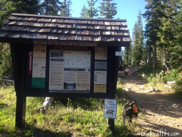
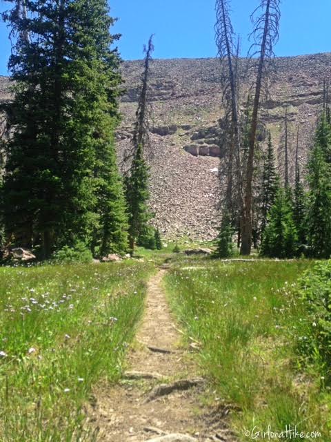
Welcome to the High Uintas Wilderness! The Highline Trail starts out heading south for about 10 minutes, then will turn East for the rest of the trail to Rocky Sea Pass.
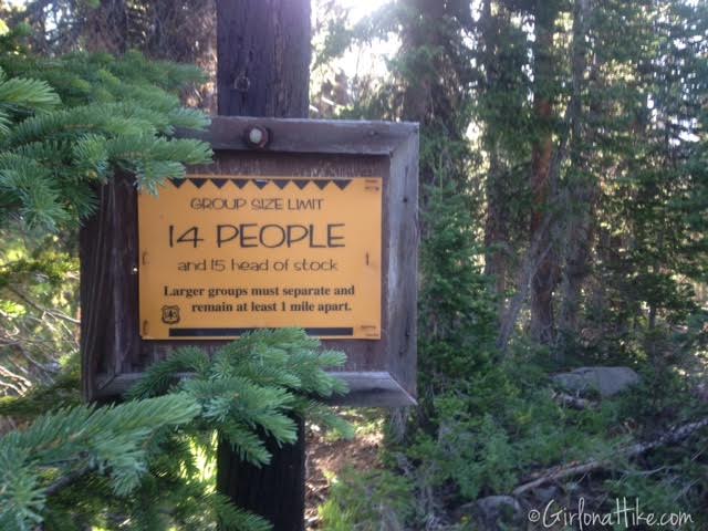
Group size is limited to 14 people, and 15 head of stock.
On the Highline Trail
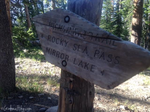
Follow the signs for Rocky Sea Pass, which is 8.5 miles one way from the Highline TH at Hayden Pass.
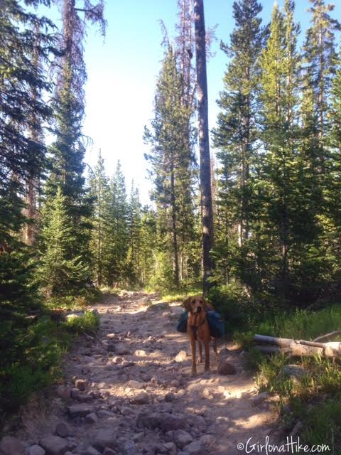
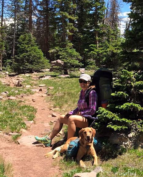
Charlie is ready for a big day of hiking. Since there’s plenty of water in the Uintas for him to drink from, all he needs to carry is his food, a bowl, and leash. I keep everything in his pack in ziplock bags because he likes to swim with his pack on, and I don’t want his gear to get wet. For really cold nights, Charlie will also carry his Quinzee Coat.
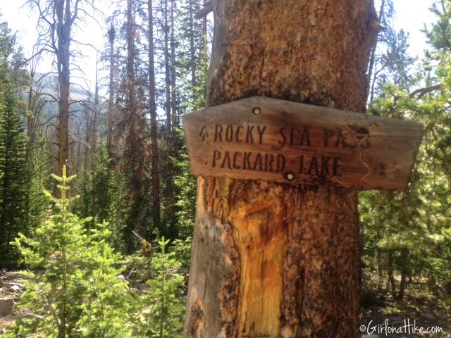
You will see many trail splits, but just keep hiking towards Rocky Sea Pass.
The Highline Trail is very wide and alternates between very flat and very rocky.
Naturalist Basin Trail Split
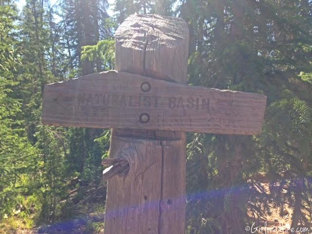
At roughly 4 miles, you will see the Naturalist Basin trail split. This is another great area of the Uintas explore, but is best done as a separate backpacking trip. There are several lakes to camp and fish at, however, you will see a lot of people camping in this area. Blue Lake is my favorite, and Mt. Agassiz can be summited from that lake.
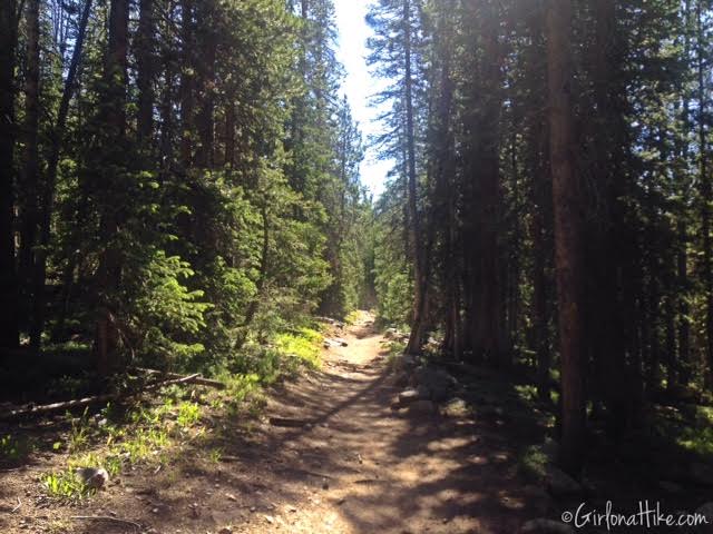
Continuing on the Highline.
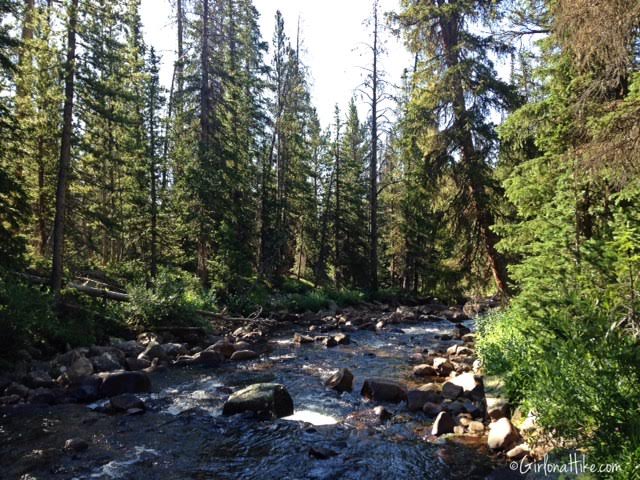
Creek Crossings
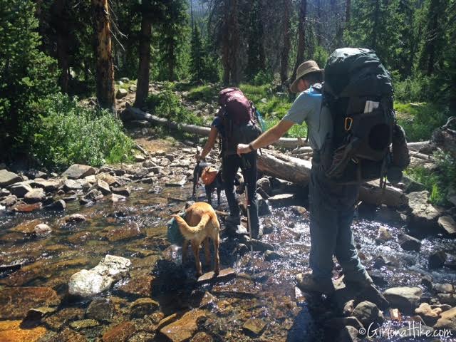
You will cross two large creeks. Having trekking poles will help with balance, especially with a heavy pack on. If you happen to run low on water, these two creeks are great to filter water from.
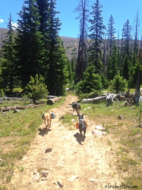
The pack leads the way! On this trip we had Charlie (my Golden Lab), Jax (Black Lab Mix), and Copper (Blue Tick Hound). All of the dogs have their own pack, and did a great job on the trail together.
Finally, after about 4 hours, we had sight of Rocky Sea ridgeline.
Pigeon Milk Spring
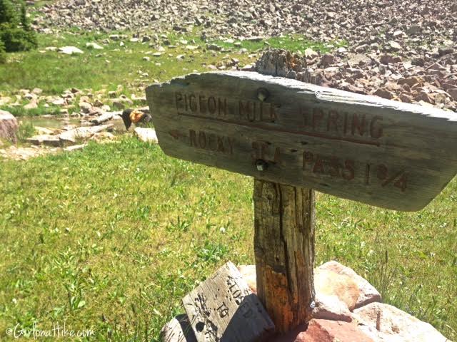
The trail crosses over Pigeon Milk Springs – another great source of ice cold water to filter!
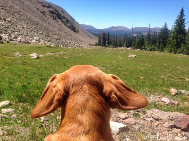
Once we started working our way up higher to the pass, the wind was stronger, and make Charlie’s ears fly! Nothing like the wind in your hair…or, ears!
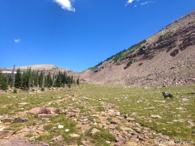
Copper leads the way to the pass. This area was so pretty!
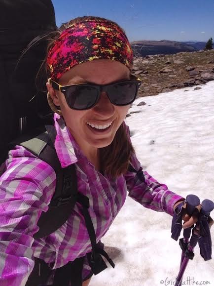
Best Sun Protection Shirt for High-Elevation Hiking
Even in mid-July, you’ll still find snow patches above 11,000 feet in the Uinta Mountains. When hiking at high elevations, it’s crucial to have proper sun protection—the UV exposure is much more intense up here.
I recently picked up a Columbia long sleeve hiking shirt from the Columbia Outlet in Kimball Junction, UT, and you can also find it on Amazon. At first, I felt a little nerdy wearing a collared, long-sleeve hiking shirt. I thought, “Am I really becoming one of those hikers?” But honestly—this shirt is amazing.
It’s incredibly lightweight, features Columbia’s Omni-Shade UPF 30 sun protection, and is made from moisture-wicking, quick-dry fabric (53% Silver Ridge Nylon and 47% Tactel Nylon Ripstop). It also has ventilation panels on the back, which made a huge difference during our hike in 75°F temps. I stayed cool, dry, and protected the entire time.
I don’t even care if I look nerdy anymore—this is now my go-to hiking shirt for sunny, high-altitude adventures.
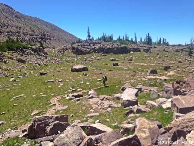
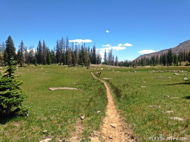
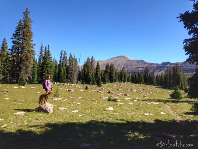
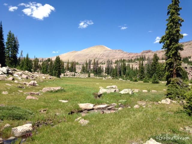
Back to the trail info…Dave makes his way through the small meadow to Rocky Sea Pass.
Rocky Sea Pass
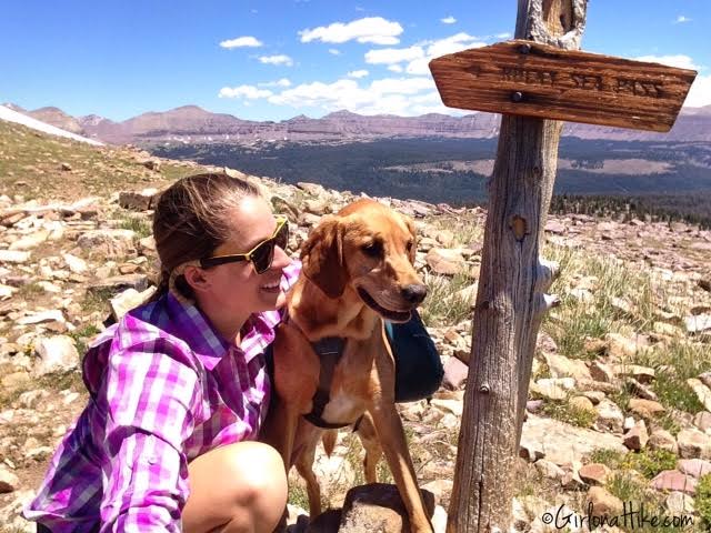
We made it to Rocky Sea Pass in about 5 hours (we were moving slowly at a 35 min/mile pace).
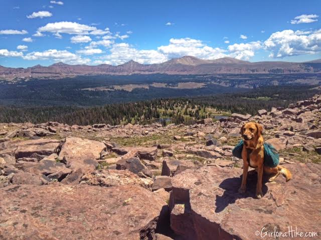
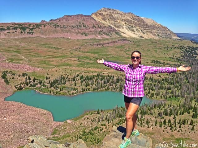
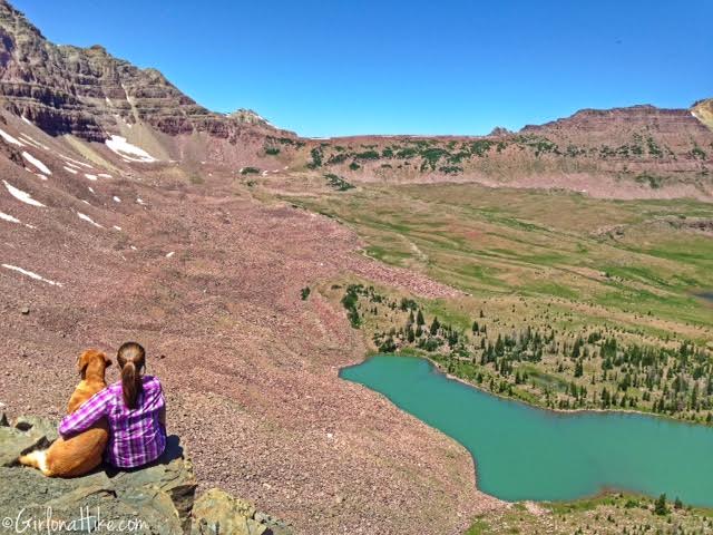
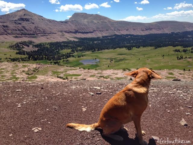
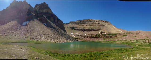
Looking into Rock Creek Basin!
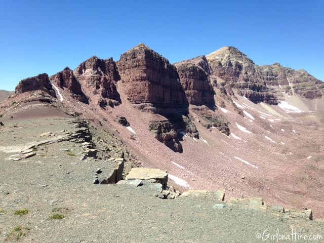
Rock Creek Basin
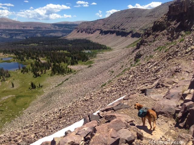
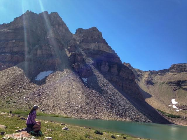
Rock Creek Basin ridgeline
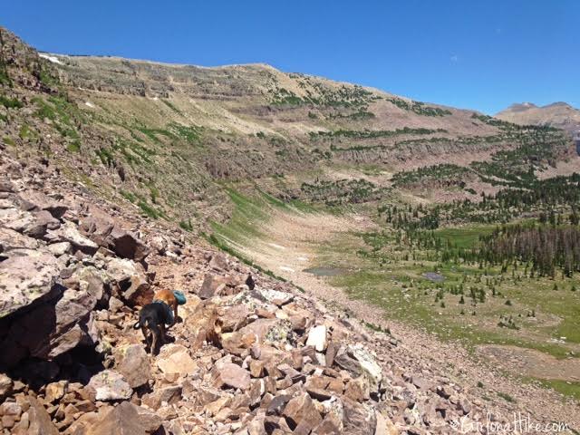
After taking a longer break to snack, we started down the steep switchbacks into Rock Creek Basin.
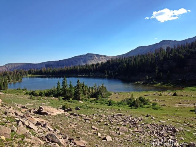
Making our way past the first few ponds, on a nice flat section of trail.
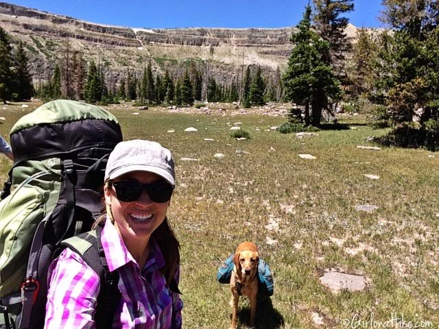
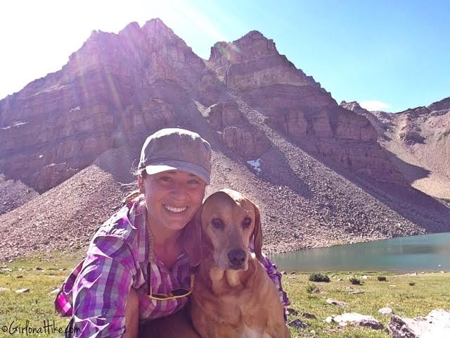
#Selfie!
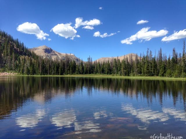
We made it to the lake we camped at (which will remain un-named) in about 6 hours.
Campsite for 2 Nights
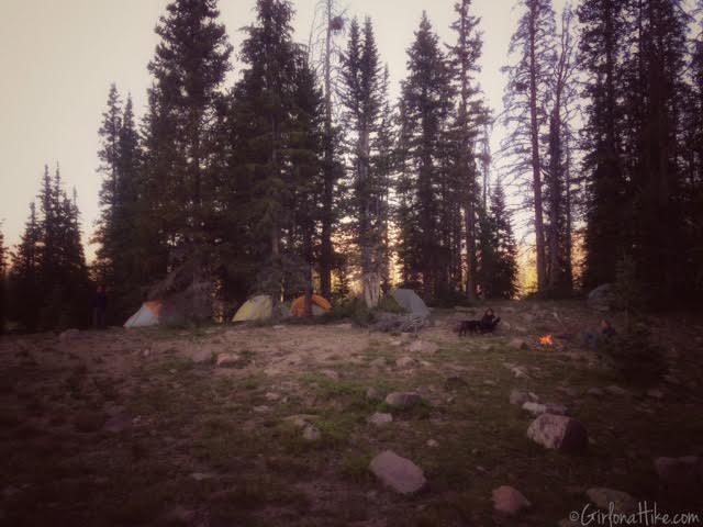
Home sweet Home for two nights.
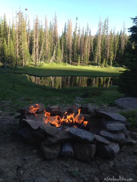
We started a fire and enjoyed relaxing. The mosquitoes weren’t really that bad – only in the morning and evening is when they came out to play.
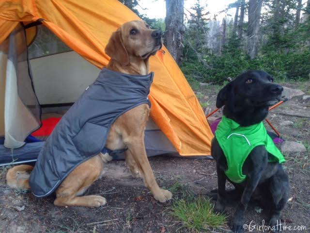
Charlie and Lucas, the Mexican Mutt, both put on their Quinzee Coat and were ready for bed.
Day 2
Distance hiked: 20 miles (loop done as a day hike)
Elevation gain: 3,300 ft
Time: 10 hours
Destination: Dead Horse Pass and several lakes
On day 2, we swapped our backpacks for day packs, each of us using our small daypacks. These are great to bring along for backpacking trips, so you can use a much lighter pack for your day hikes. The dogs left their pack at camp, since they didn’t need anything besides water, which they could find on the trail.
Crossing Rock Creek!
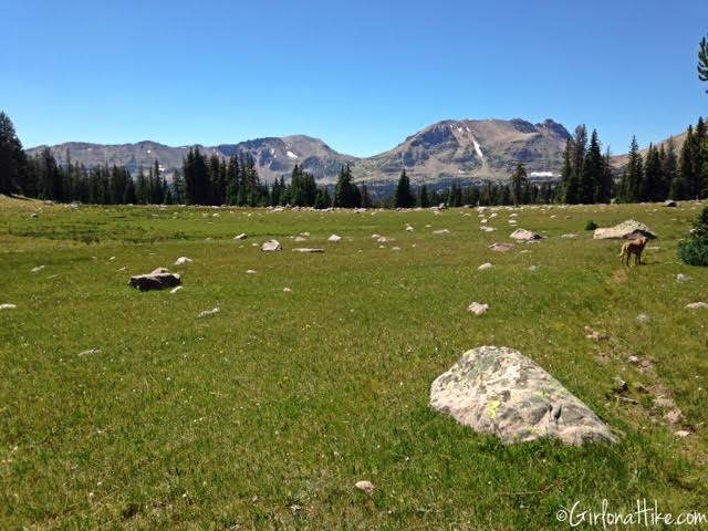
Rock Creek Basin is filled with many beautiful meadows.
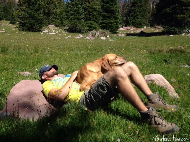
Byron and Charlie take a nap – by this point we had hiked 3-4 hours. We had no where to be in any time frame so we took our time the whole day.
Snack #1 – Sport Beans ($2ish at REI). I don’t usually eat the whole pack at once, I use them to get the spitty taste out of my mouth and to provide a little energy as I hike throughout the day. I use to use ShotBloks but can’t stand the texture of them, so I switched to Sport Beans.
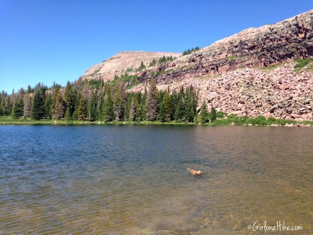
Charlie takes a swim to cool off.
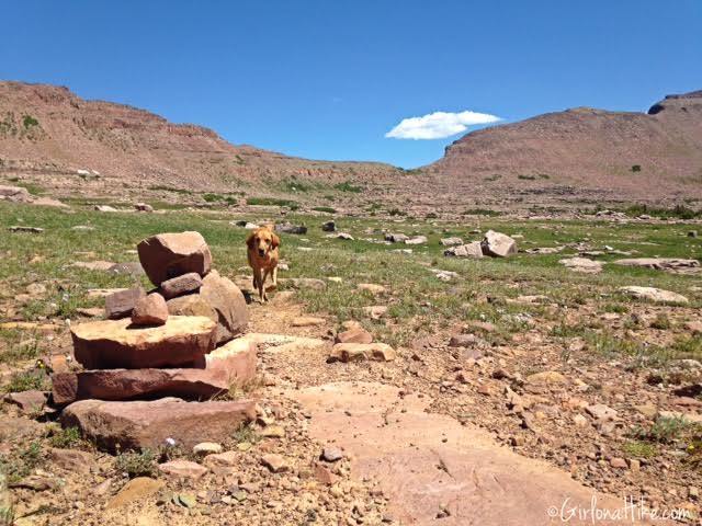
Working our way up to Dead Horse Pass.
Deadhorse Pass
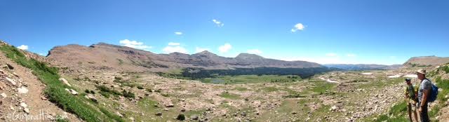
Panorama on the way to Dead Horse Pass.
At Dead Horse Pass! This is my new favorite view in the Uintas! We could only see one tent down at the lake.
Check out my post on Backpacking to Dead Horse Lake.
Charlie and I enjoying our view.
More wind in the ears!
Looking East on the pass.
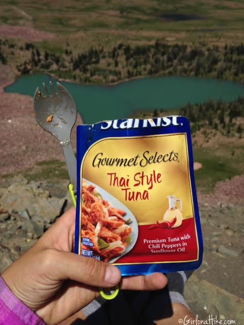
My snack selection for lunch – Thai style tuna packet (only $1 at Walmart) with Mediterranean style Triscuits!
Passing by more meadows.
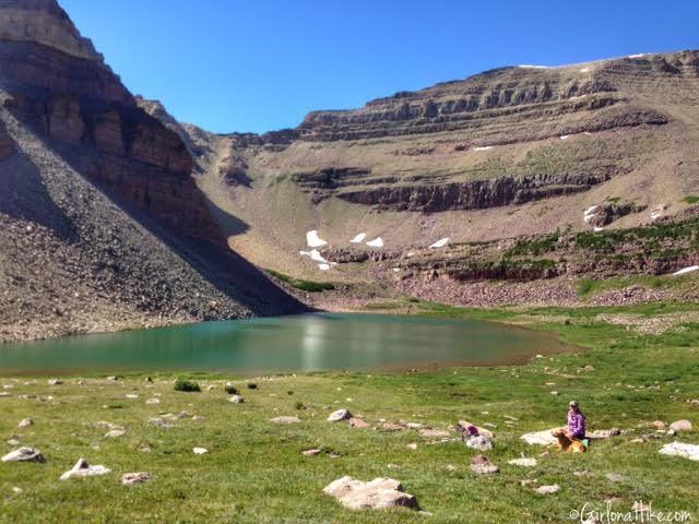
At our favorite “secret” lake.
Passing by more beautiful lakes.
Day 3
Distance hiked: 10 miles (one way)
Elevation gain: 1,500 ft (500ft ascending, 1,000 ft descending)
Time: 6 hours
Destination: Highline TH/cars
Both Charlie and I were pretty tired from our previous day hike of 20 miles, but all in all, we were happy to be back on the trail and were ready to get home. At the end of our trip, we logged 40 miles together. I can’t tell you how much I cherish and love these moments and trips with him. He makes the best hiking & backpacking partner out there!
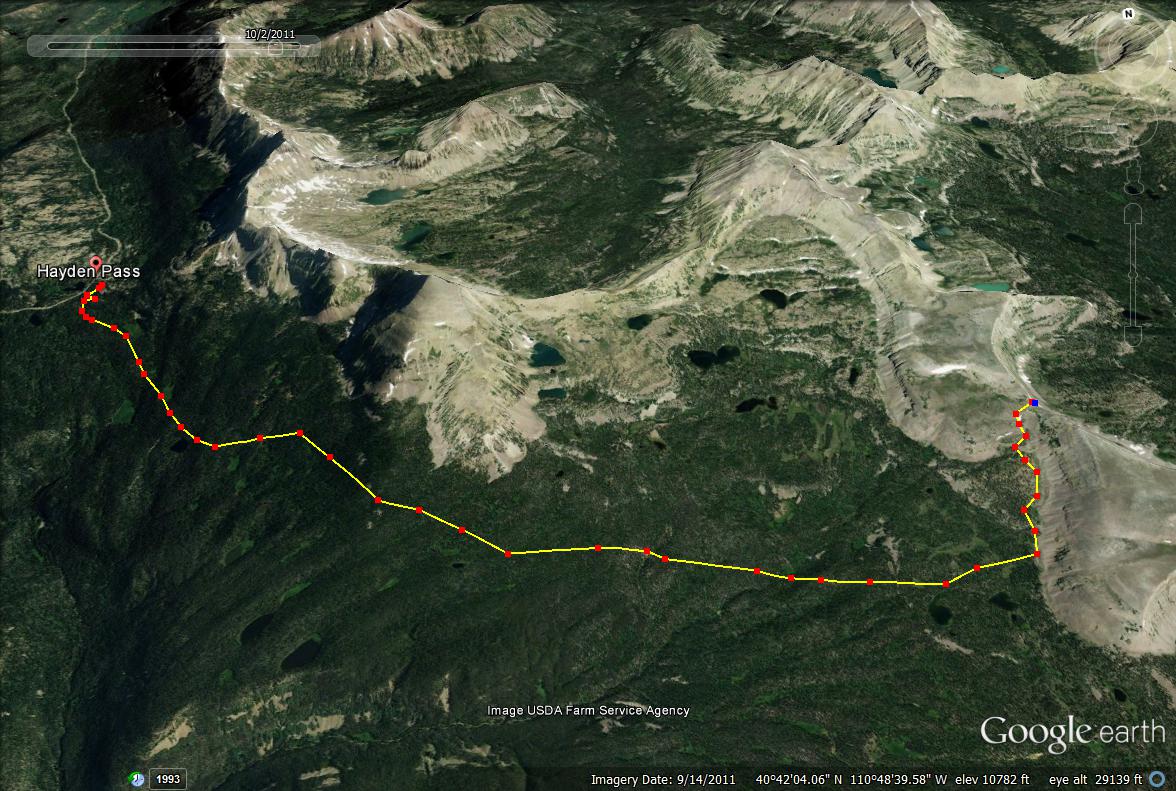
Here is a trail map from the Highline Trail at Hayden Pass to Rocky Sea Pass. Backpacking into Rock Creek Basin is up to you to explore and make your own route. There are many trail options and all have beautiful views – you really can’t go wrong with any choice! I highly recommend using the National Geographic High Uintas Wilderness Map.
Nearby Hike
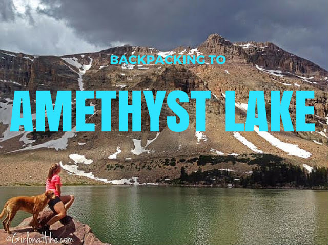
Backpacking to Amethyst Lake, Uintas

Save me on Pinterest!