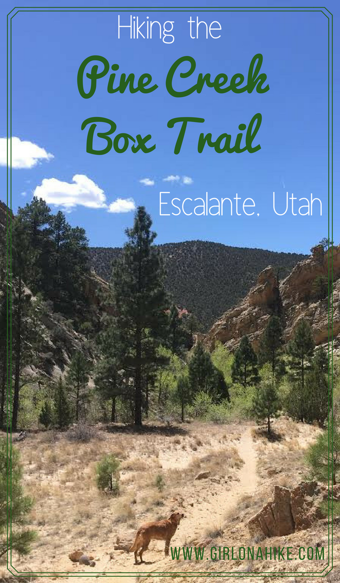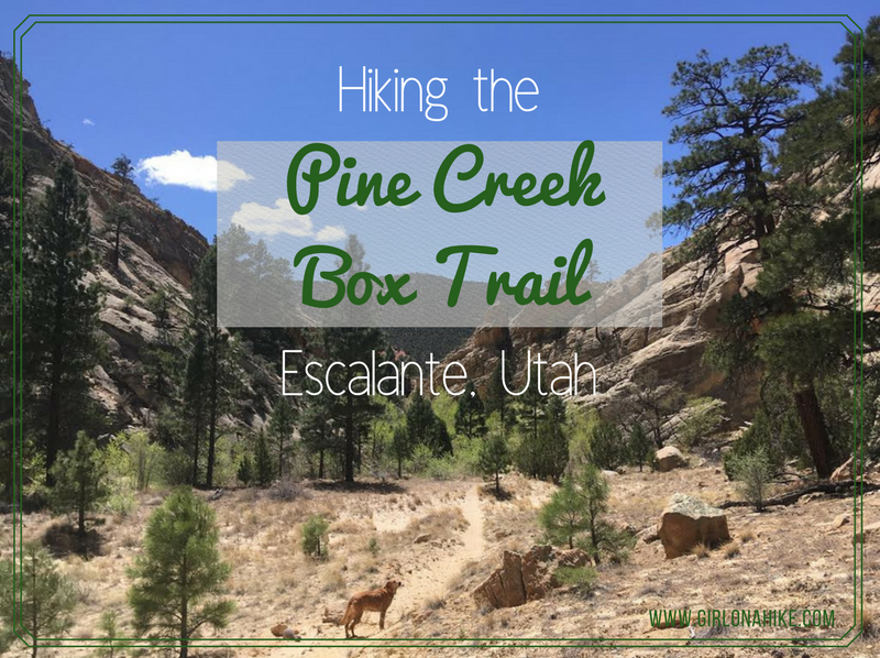

Pine Creek Canyon is a hidden gem in the Escalante area – a pristine creek, tall canyon walls, half mountain-half desert, no cows, all downhill, plenty of shade, and towering Ponderosa trees. Located in the Box-Death Hollow Wilderness, this canyon is also known as “The Box”, which is funny since it’s not really a box canyon but steep-walled, open-ended drainage carved by Pine Creek millions of years ago.
About
Directions
From Escalante, UT head north on N 300 E. This road turns into the Posy Lake Road. Turn right at the “T” on Pine Creek Road. Follow this as it passes by some ranches, and eventually turns into a well-graded dirt road. Drop your first car off at the Lower Box Access dirt parking lot. Continue up what is now the “Hells Backbone” road. Stay on this road (FR153) until you see the road split, and stay right for the Blue Spruce Campground & Upper Box Access. Once you turn, drive another 4.5 miles until you see the brown sign for Upper Box. Parking is along the road and the trail also starts on the right side (east) of the road. If you drive over Pine Creek, you went too far.
Here is a driving map.
Trail Info
Distance: 9.2 miles point-to-point
Elevation gain: 1,379 descent
Time: 5-7 hours
Dog friendly? Yes, off leash
Kid friendly? Yes, but it may be too long for younger kids
Fees/Permits? None
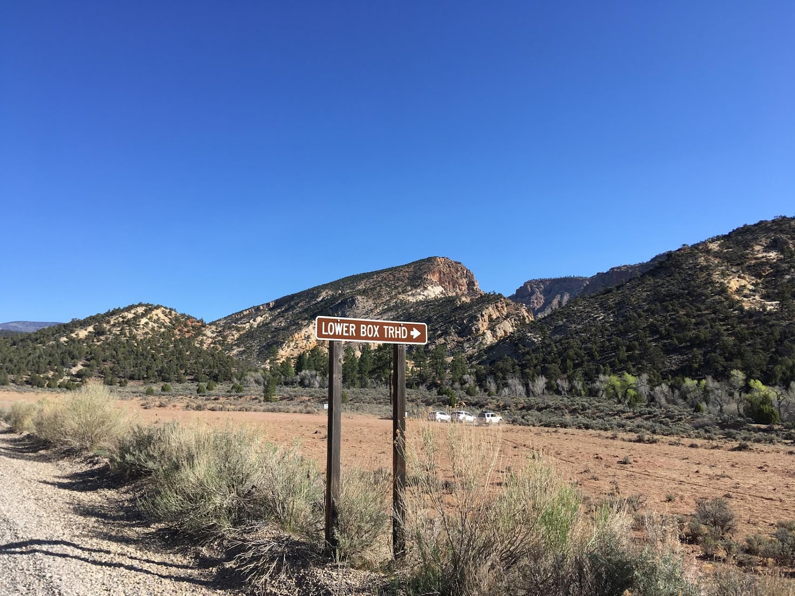
Park one car here – this is the car that you will end your hike at.
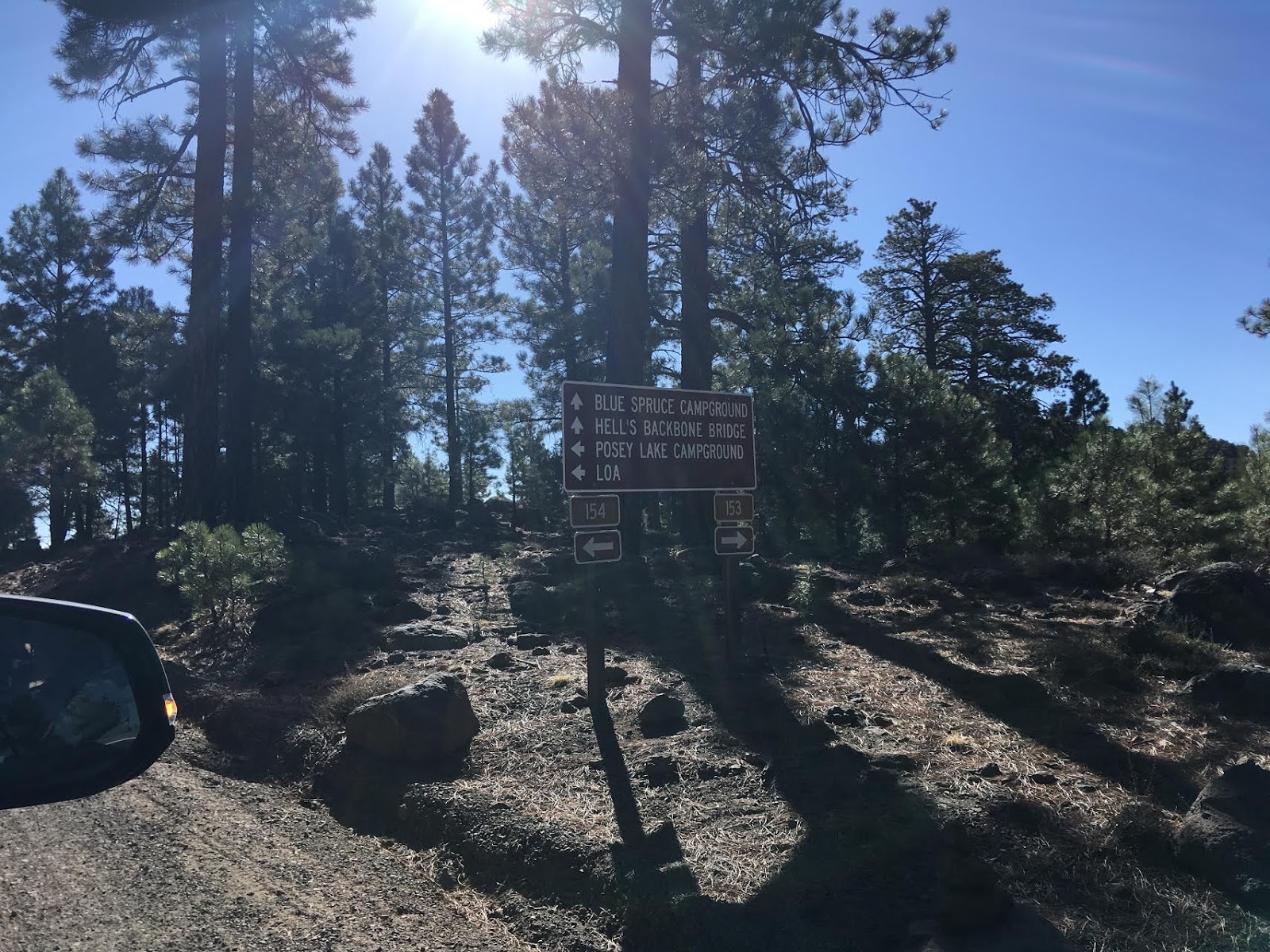
As you drive up Hell’s Backbone Road, keep an eye out for this large brown sign. Turn right for the Blue Spruce Campground (though you won’t drive all the way to it). Stay on FR153.
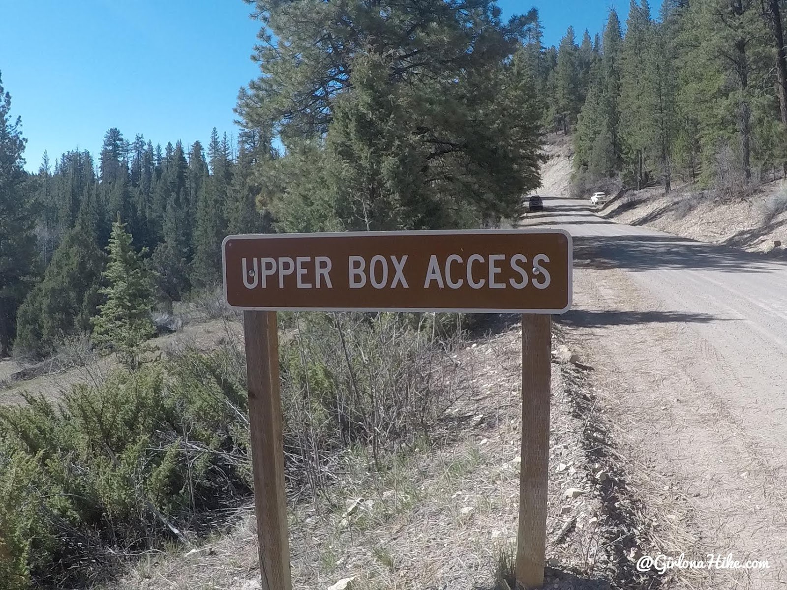
The only sign for where the trail starts.
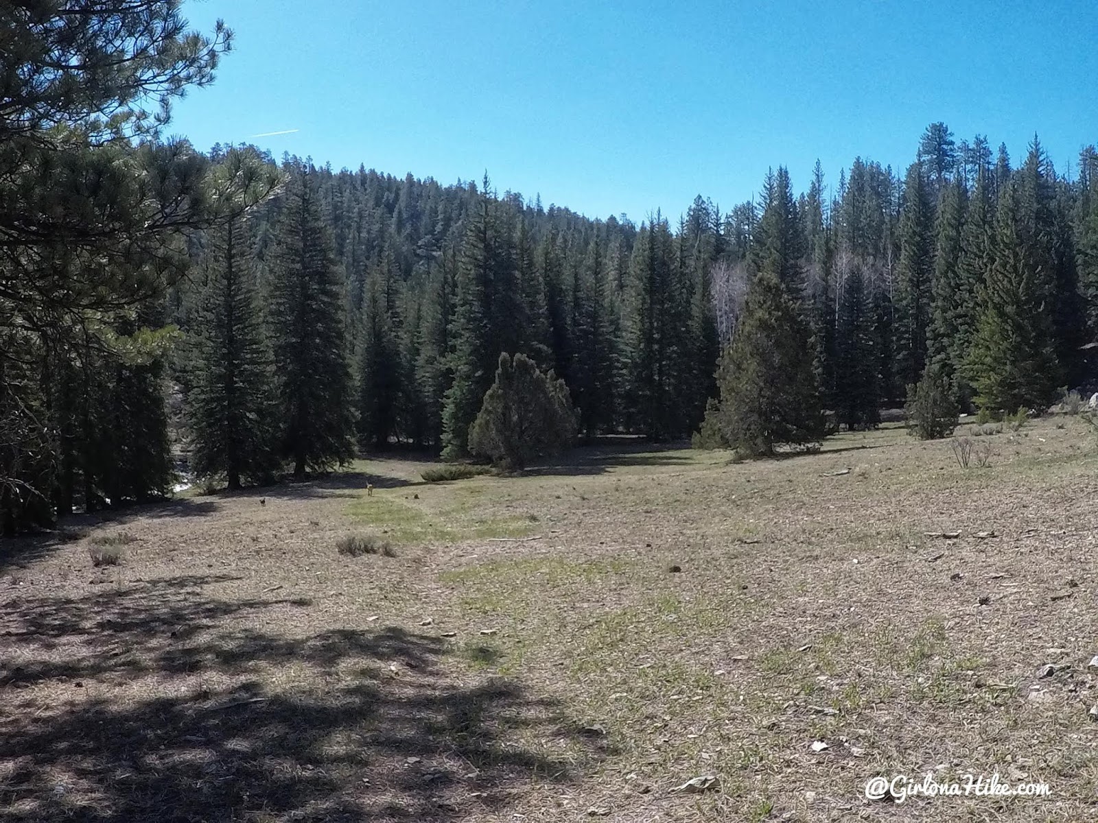
From the sign, immediately hike down the open grassy field towards the creek. You can see a very faint trail here.
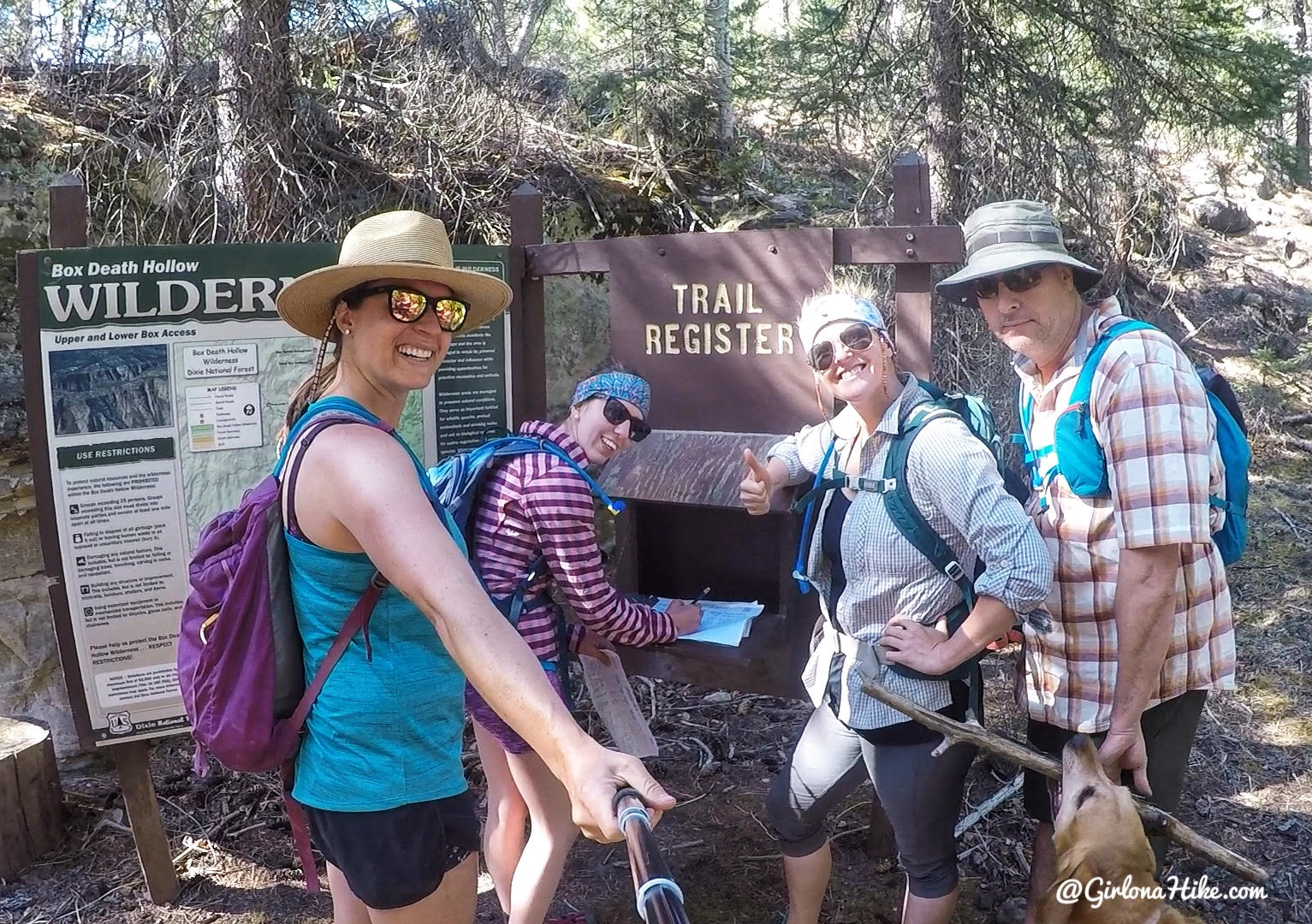
Signing the trail register.
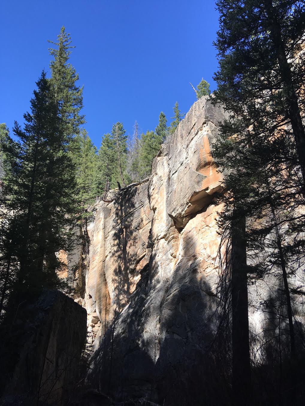
It was so refreshing to hike in a shaded canyon as opposed to hiking in sand and slickrock like we did the past three days.
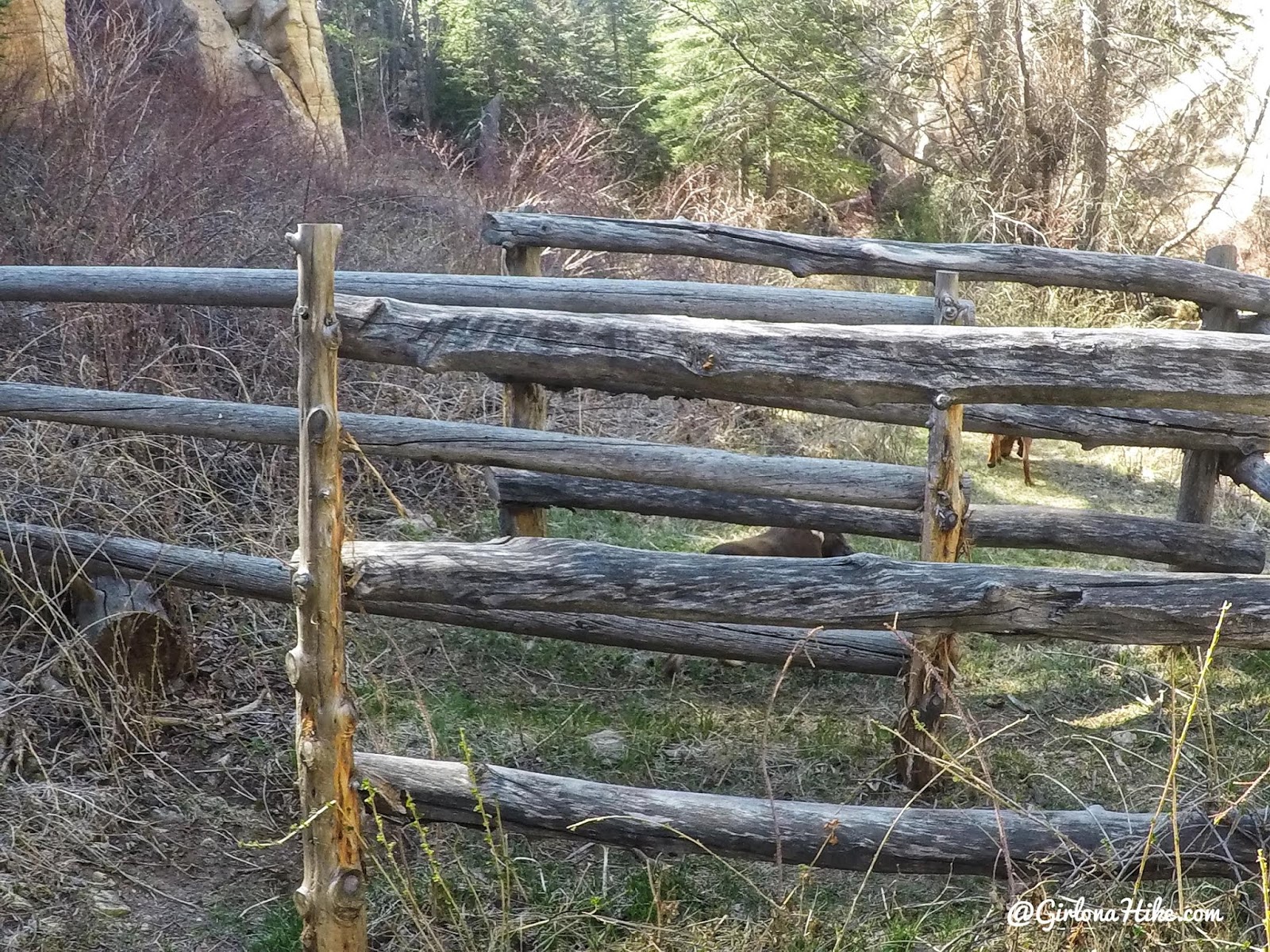
You’ll quickly come upon the gate.
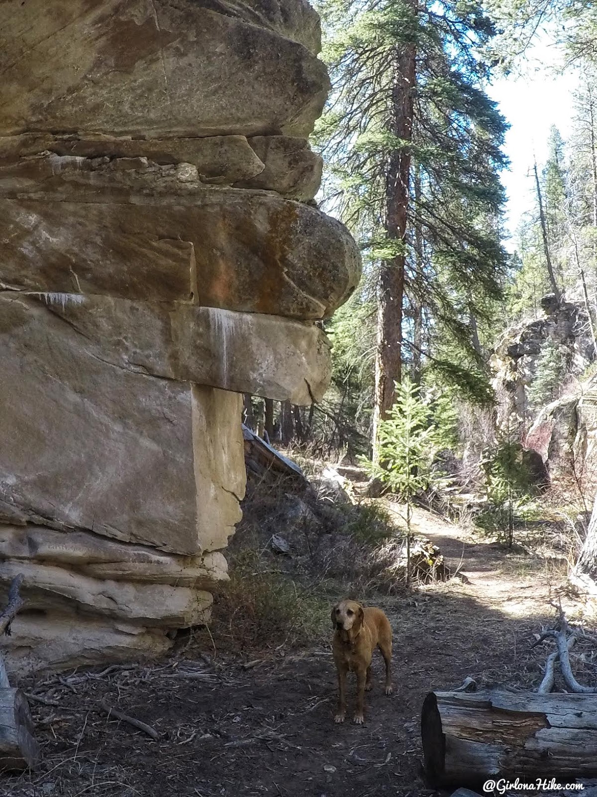
Walking by rock faces.
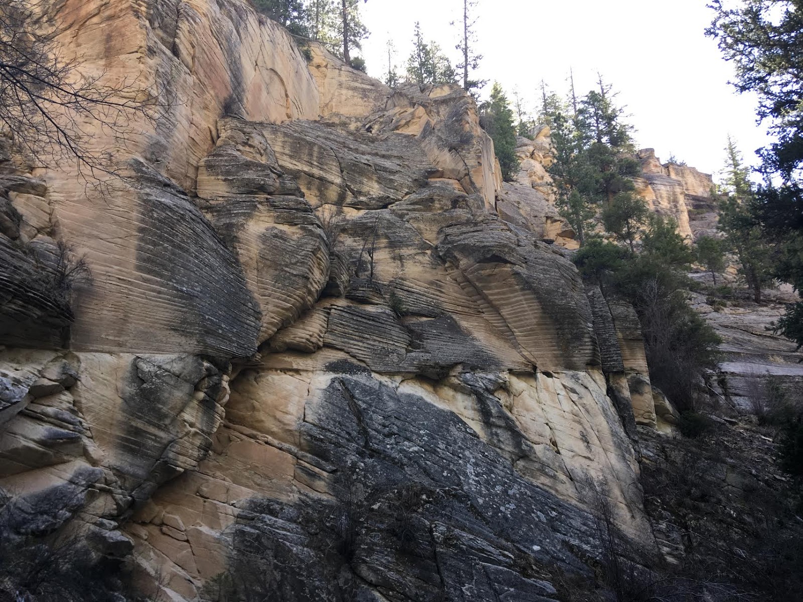
Pine Creek has really amazing rock walls. They only get taller as you hike down stream.
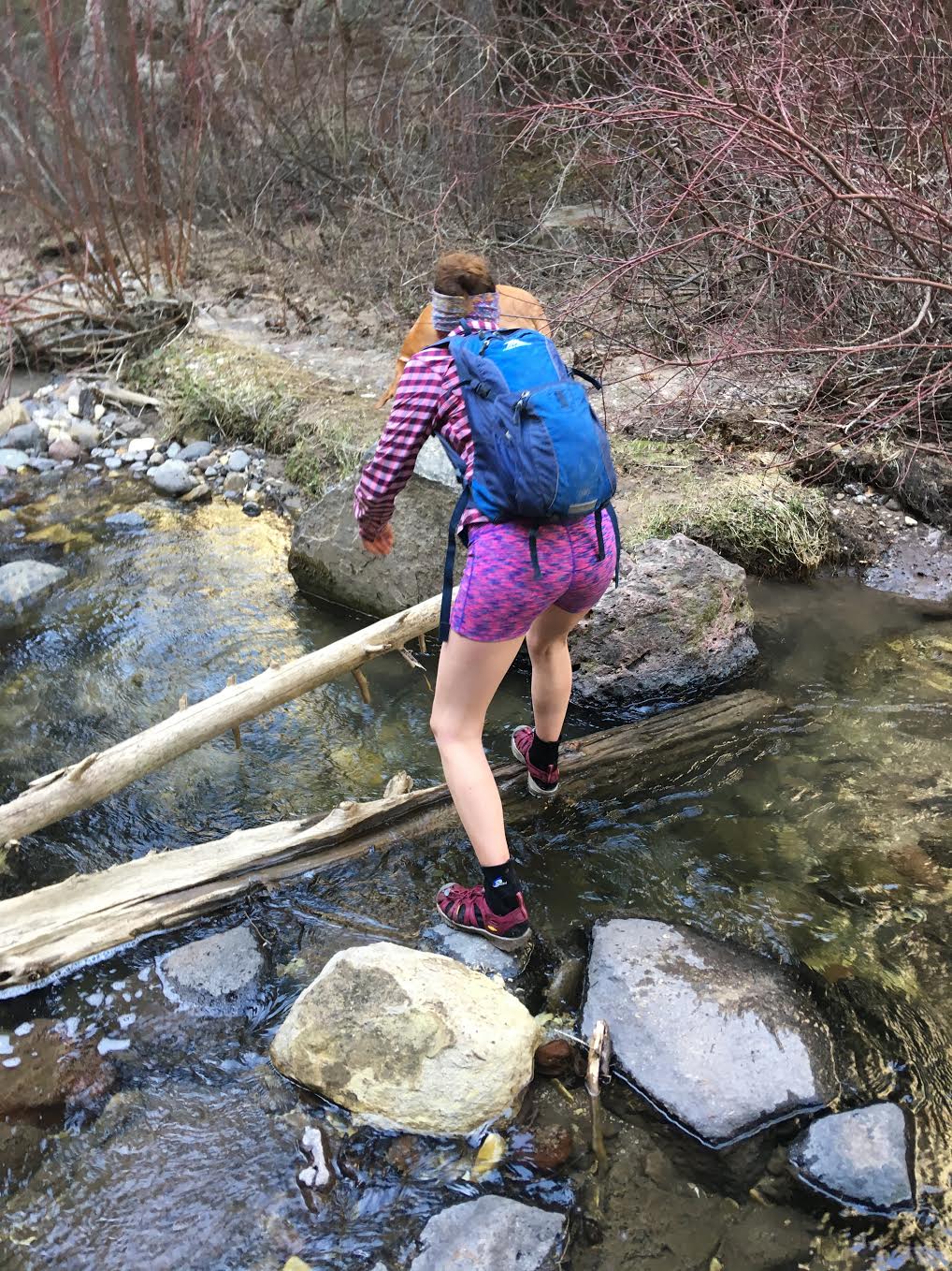
Heather tried to stay dry, but eventually she gave in and walked through all the water. This water is much colder since the source comes from a higher elevation, so wearing neoprene socks helped keep our feet warmer (& prevented blisters!).
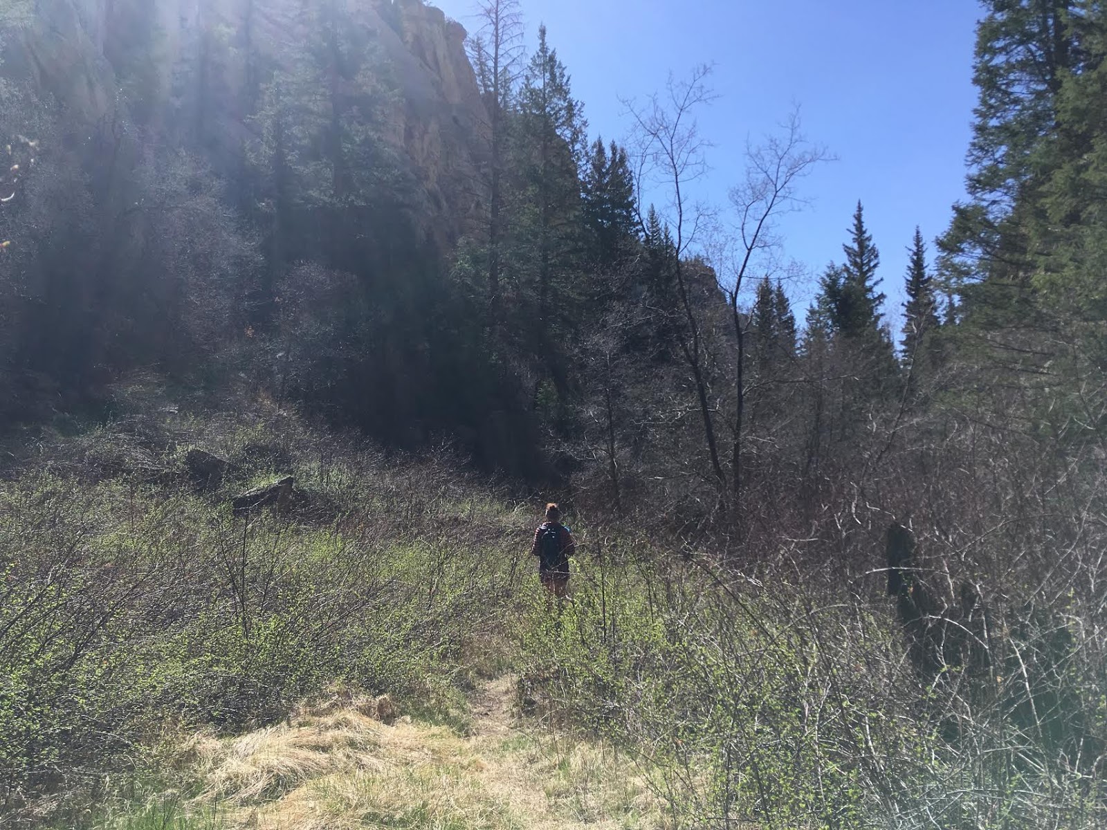
Sometimes the grass gets tall and there is some overgrowth, but it’s not so bad that you need to wear pants.
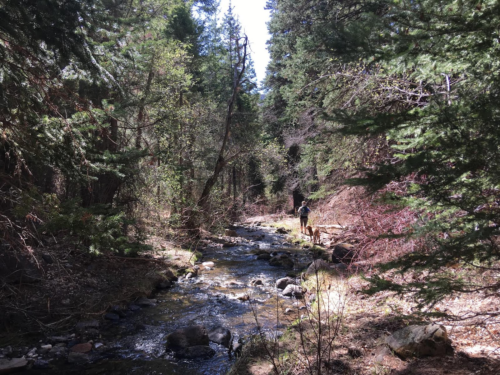
The trail crossed the stream more times than we could count – maybe 50 times?
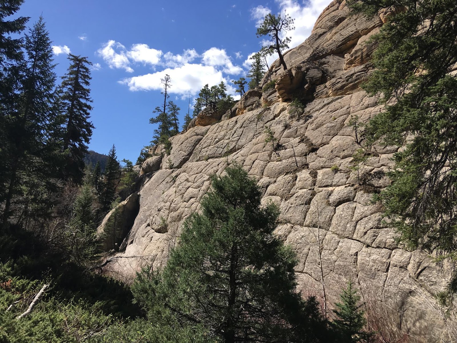
More intersting rock.
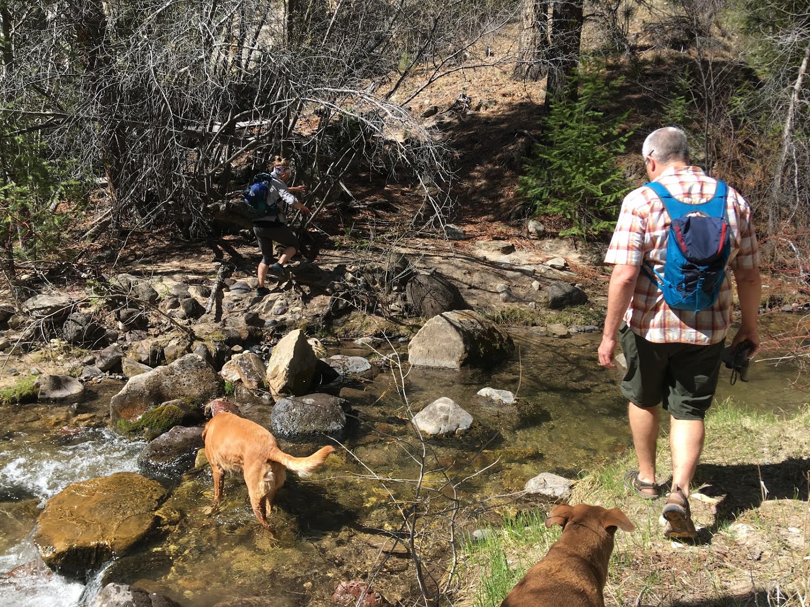
Look how clear the water is! The dogs were really happy to play in the stream plus drink fresh, cold water.
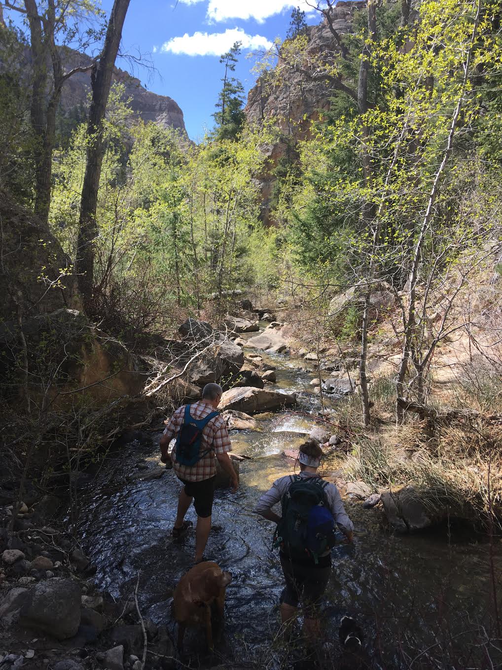
Remember how I said there must have been 50 stream crossings? They never seemed to end. It was a welcome sight for us! We were able to keep cool most of the hike.
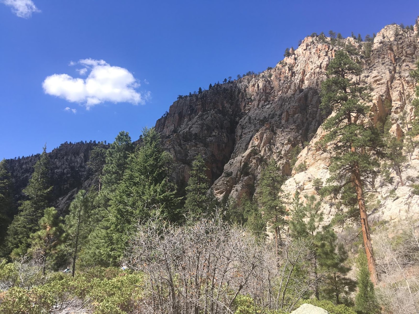
Eventually the canyon walls get even taller, and the views open more.
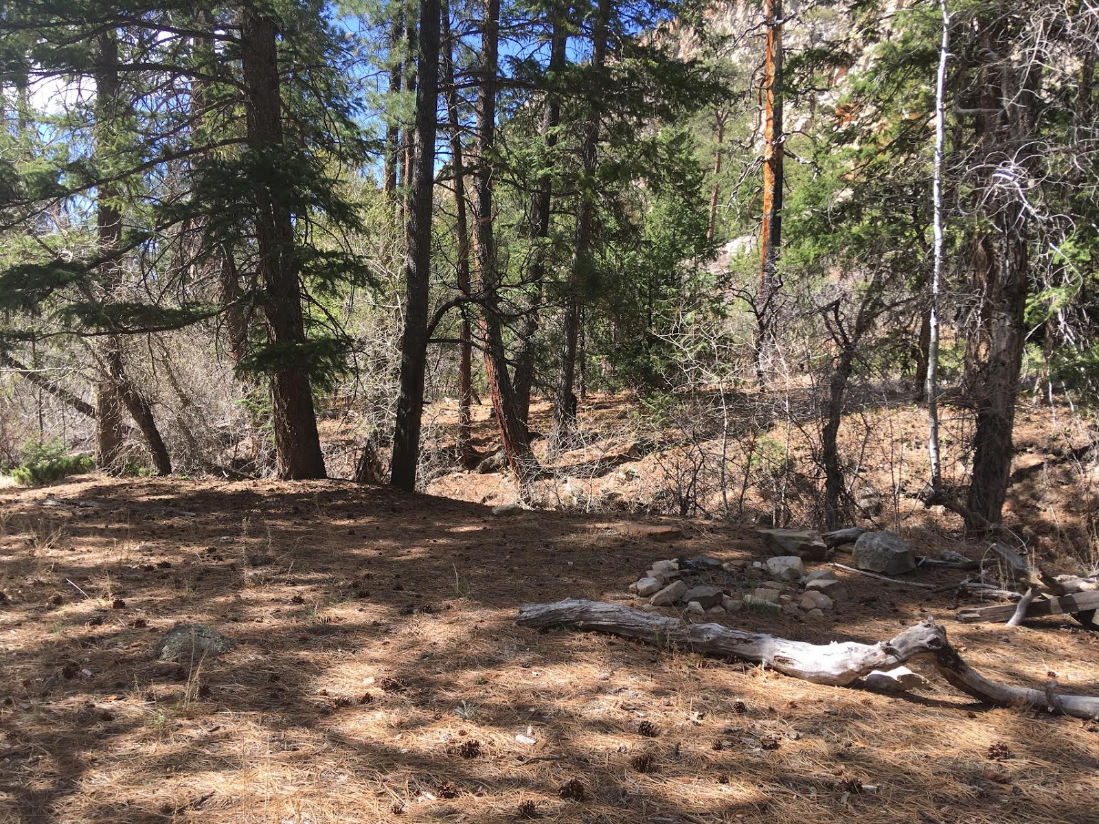
There are also several nice campsites along the trail that would make for a perfect overnight trip.
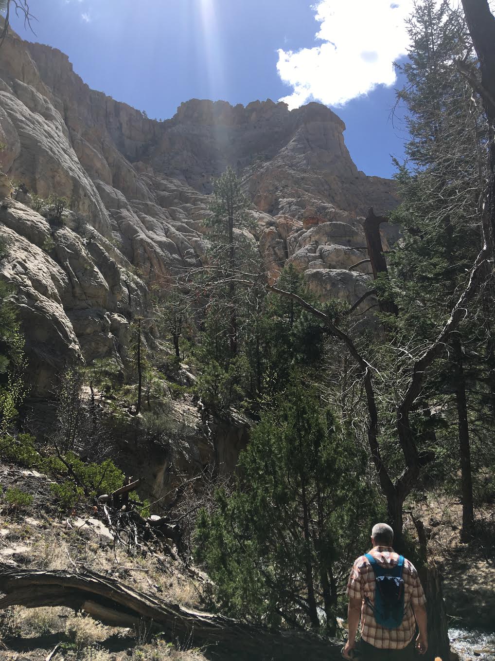
The picture doesn’t do the canyon walls justice – they had to be close to 1,000 ft tall.
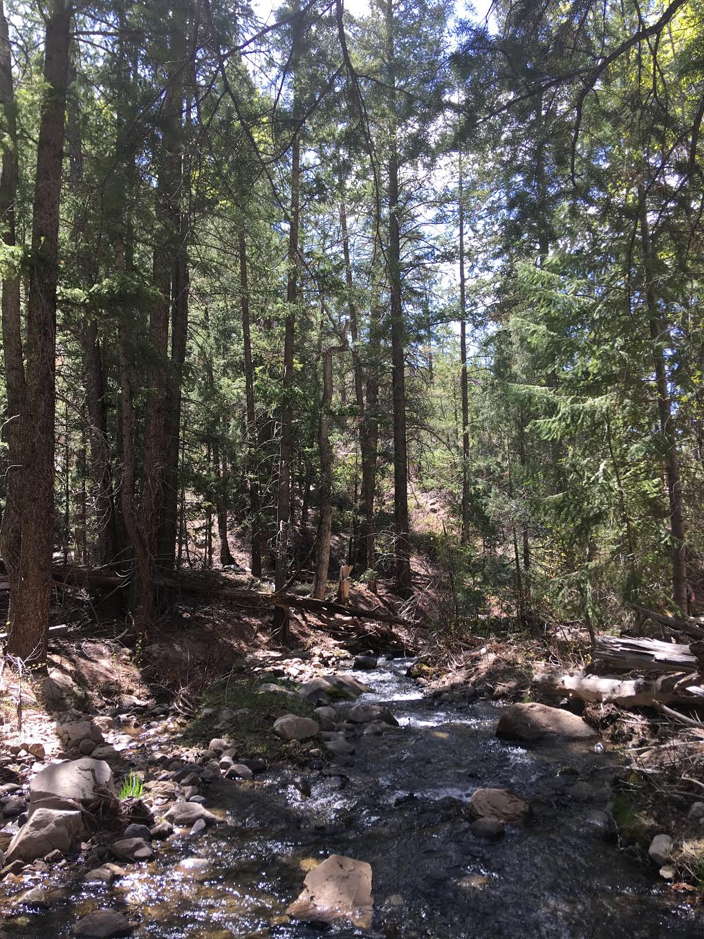
The trail is pretty easy to follow – we never felt like we lost the trail or couldn’t find our way.
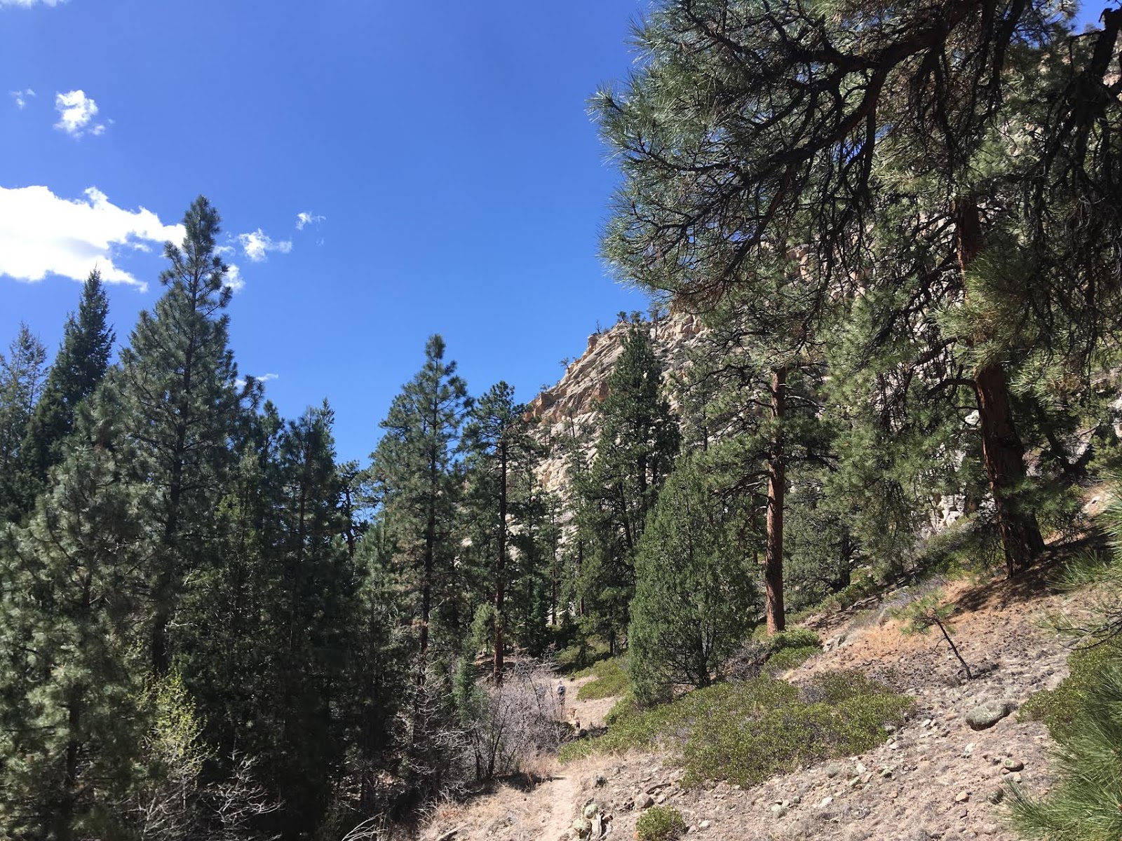
Lots of pine trees, of course!
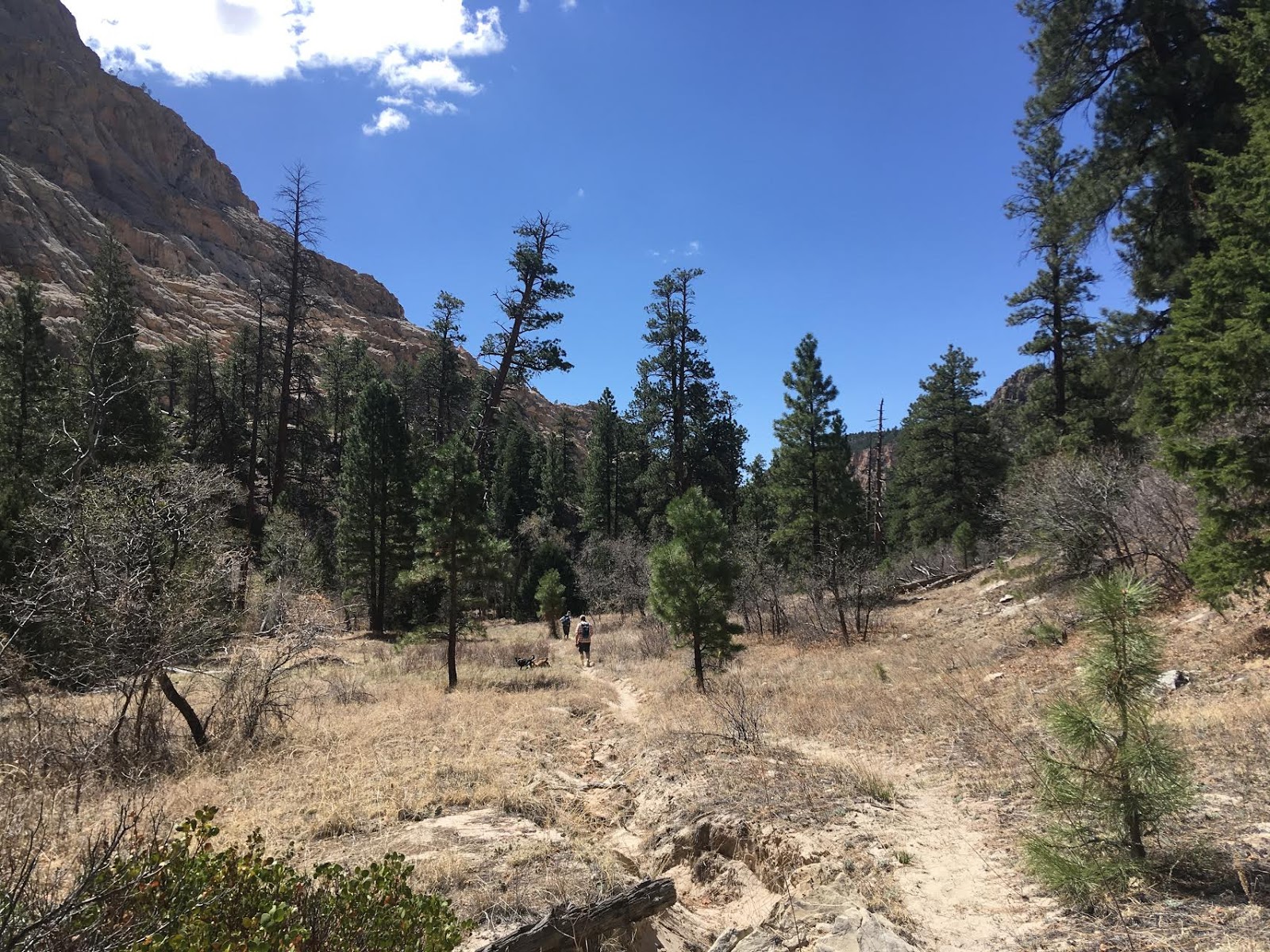
Some sections were dryer than others for the first half, so you’ll definitely want to bring sunblock, a hot, and maybe even a lightweight long sleeve shirt.
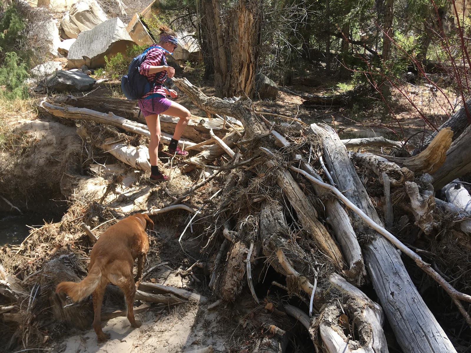
We had to climb over a hand full of fallen trees. Again, they weren’t hard to maneuver.
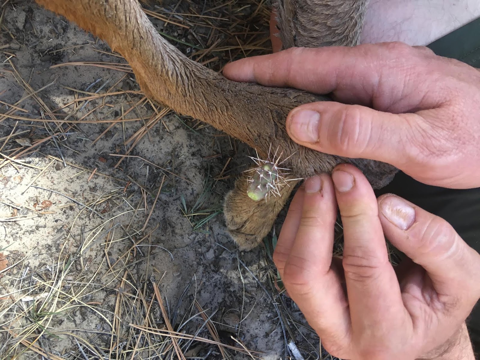
OUCH! Poor Mama-dog caught a cactus on her front paw.
There are quite a bit of cactus right along the trail so keep an eye for those, and make sure you carry a first aid kit for yourself and a doggy first aid kit.
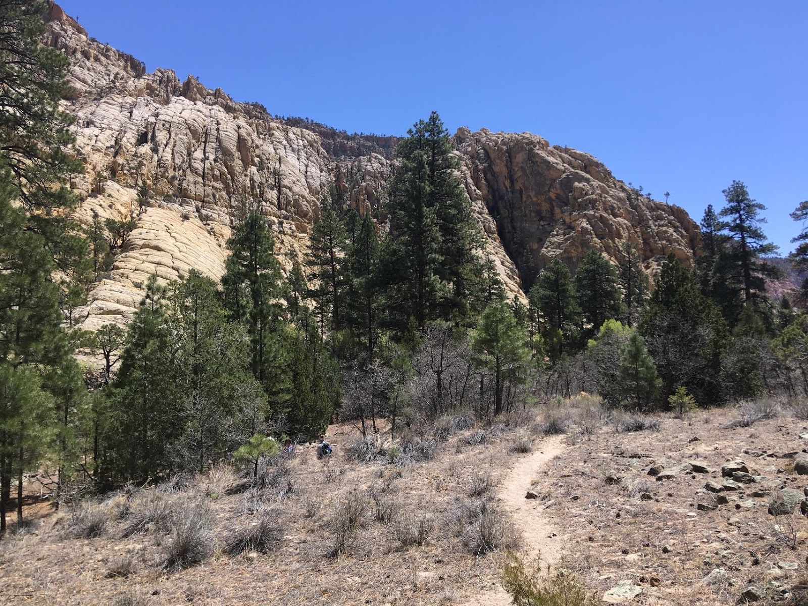
After you cross the very small Deep Creek coming in from the West, you are halfway. After that the trail turns sandy and much hotter (especially later in the day).
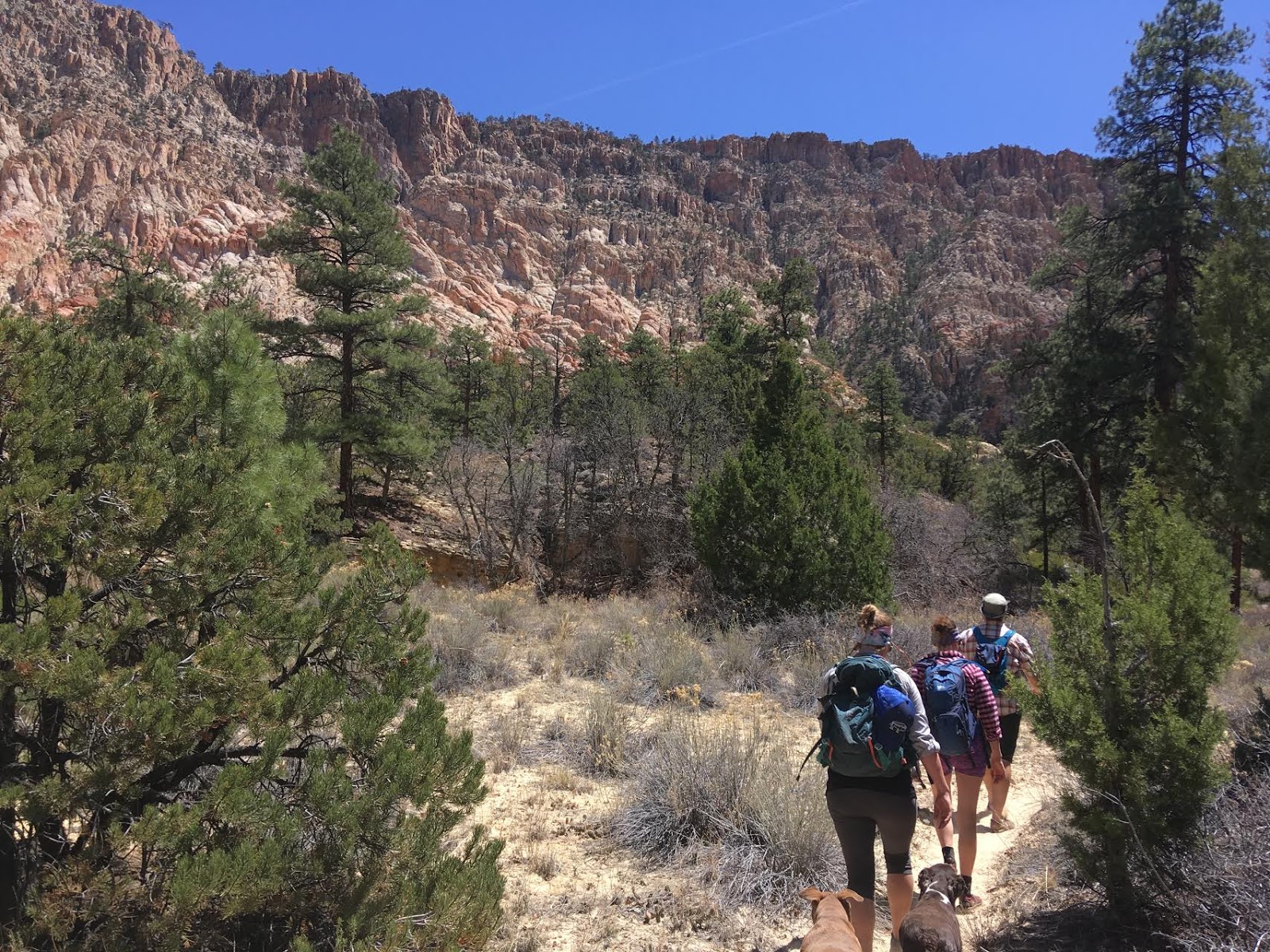
We were all starting to get pretty hot, even with the creek nearby.
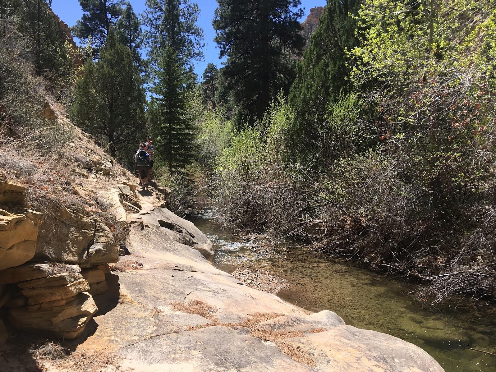
Ahh, a place to stop in the creek again. You’ll want to make sure you bring a water filter, such as the Mini Sawyer, in case you run out of drinking water in your camelbak. By the time we got back to the car my bladder was empty, and I should have refilled earlier.
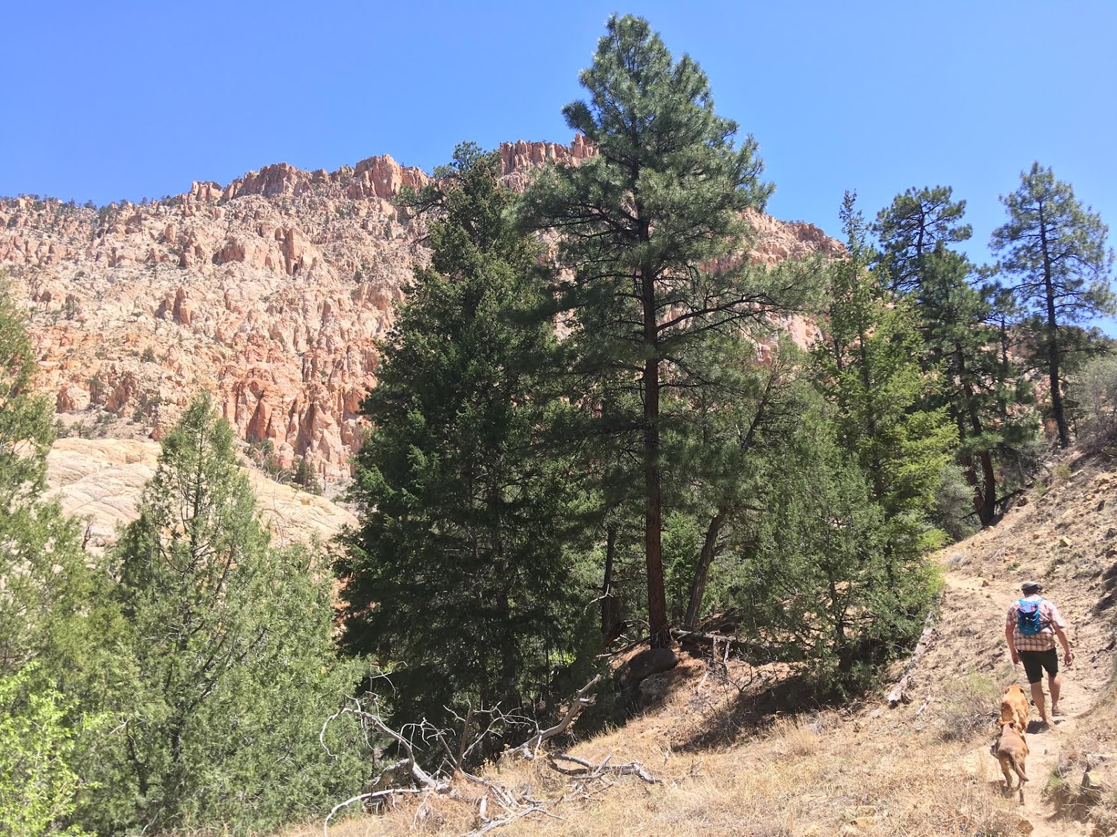
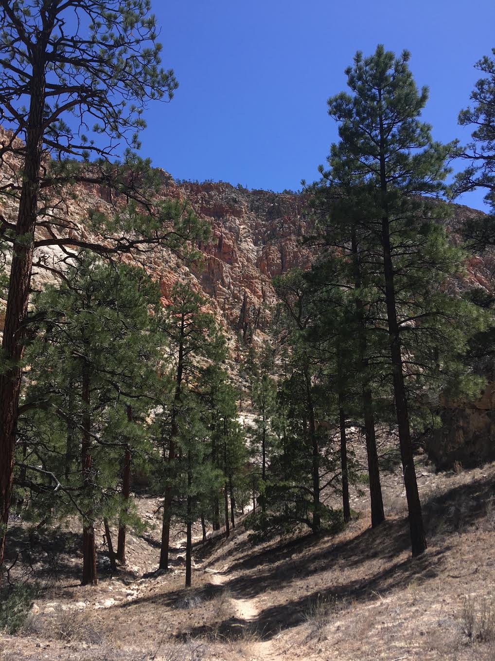
A hallway of pines!
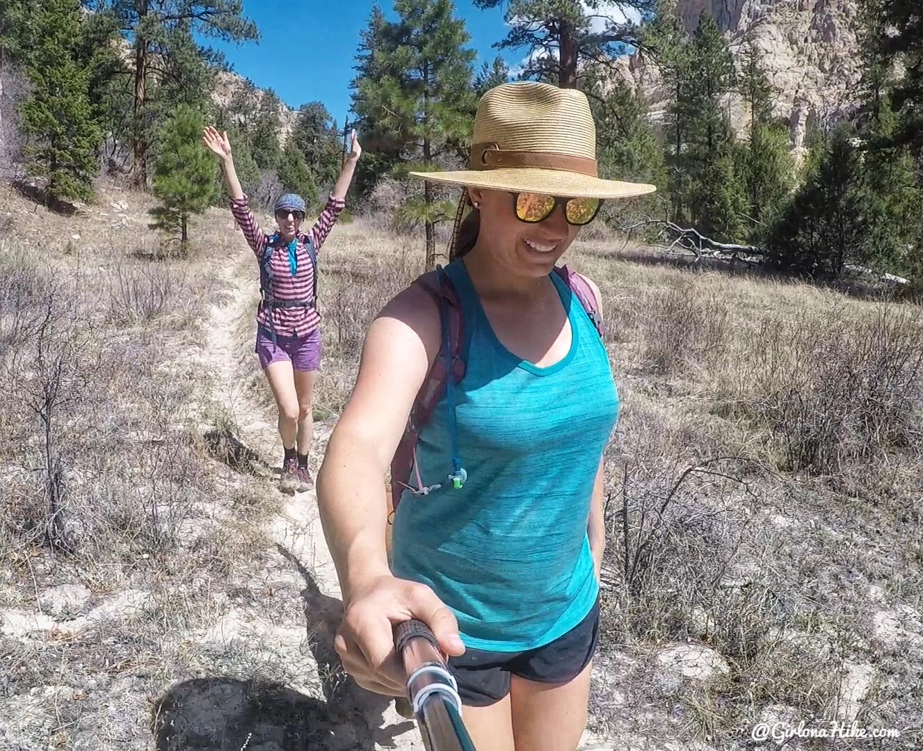
Heather loves hiking!
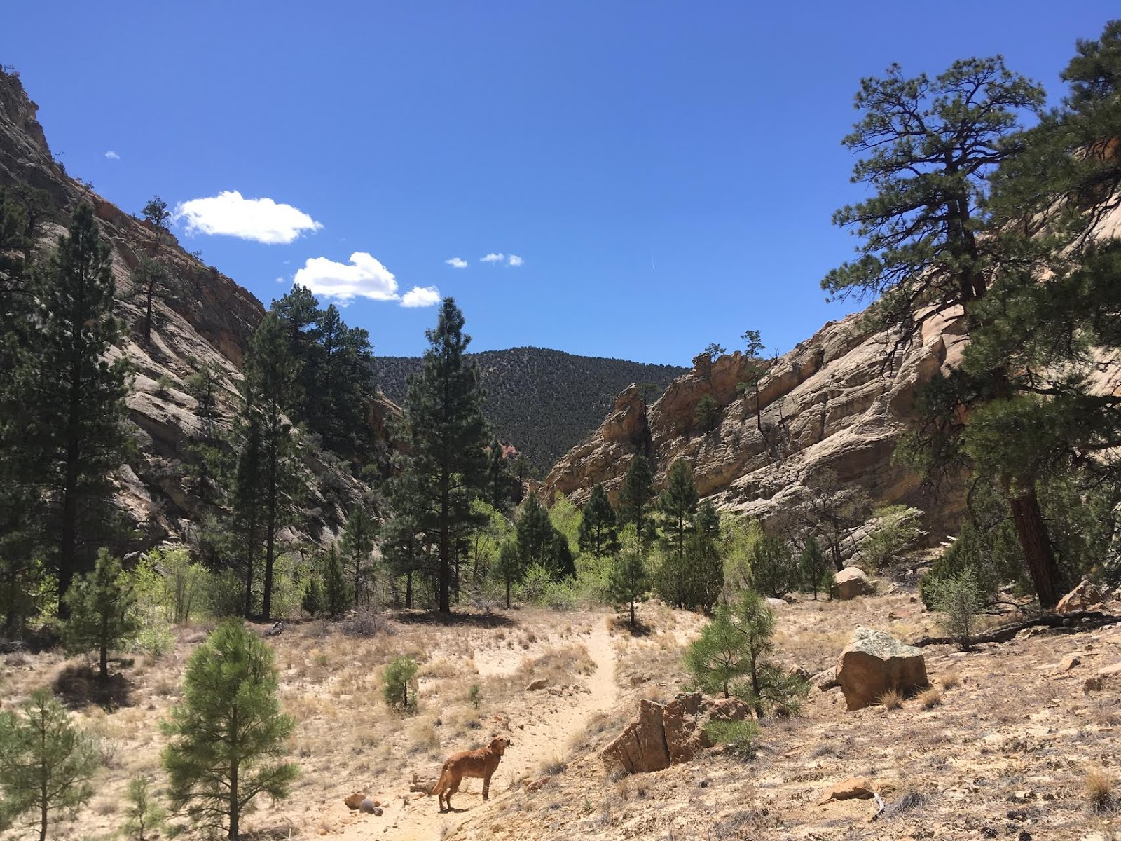
You know you are getting close to the exit when you see the canyon come to a “V” shape ahead. The sand was getting hot, and Charlie would run up to the next stream crossing to cool off.
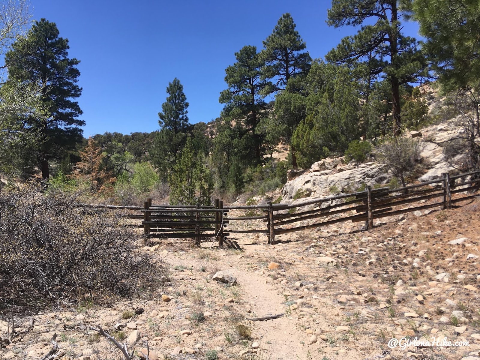
Pass through the gate.
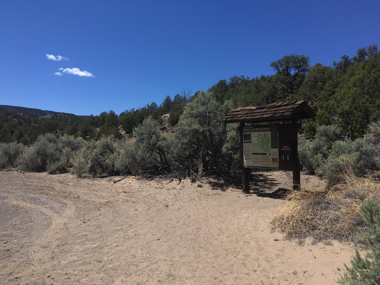
The old parking lot for the lower access – this parking lot has recently been closed and you now need to park your car 0.3 miles up the road. You should have your car waiting there.
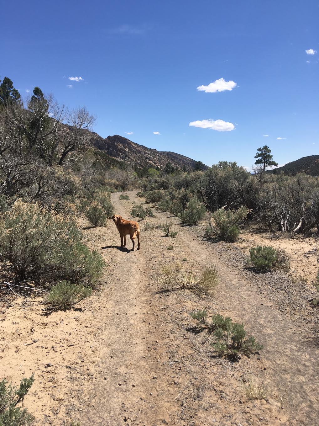
Walking out along the old dirt road.
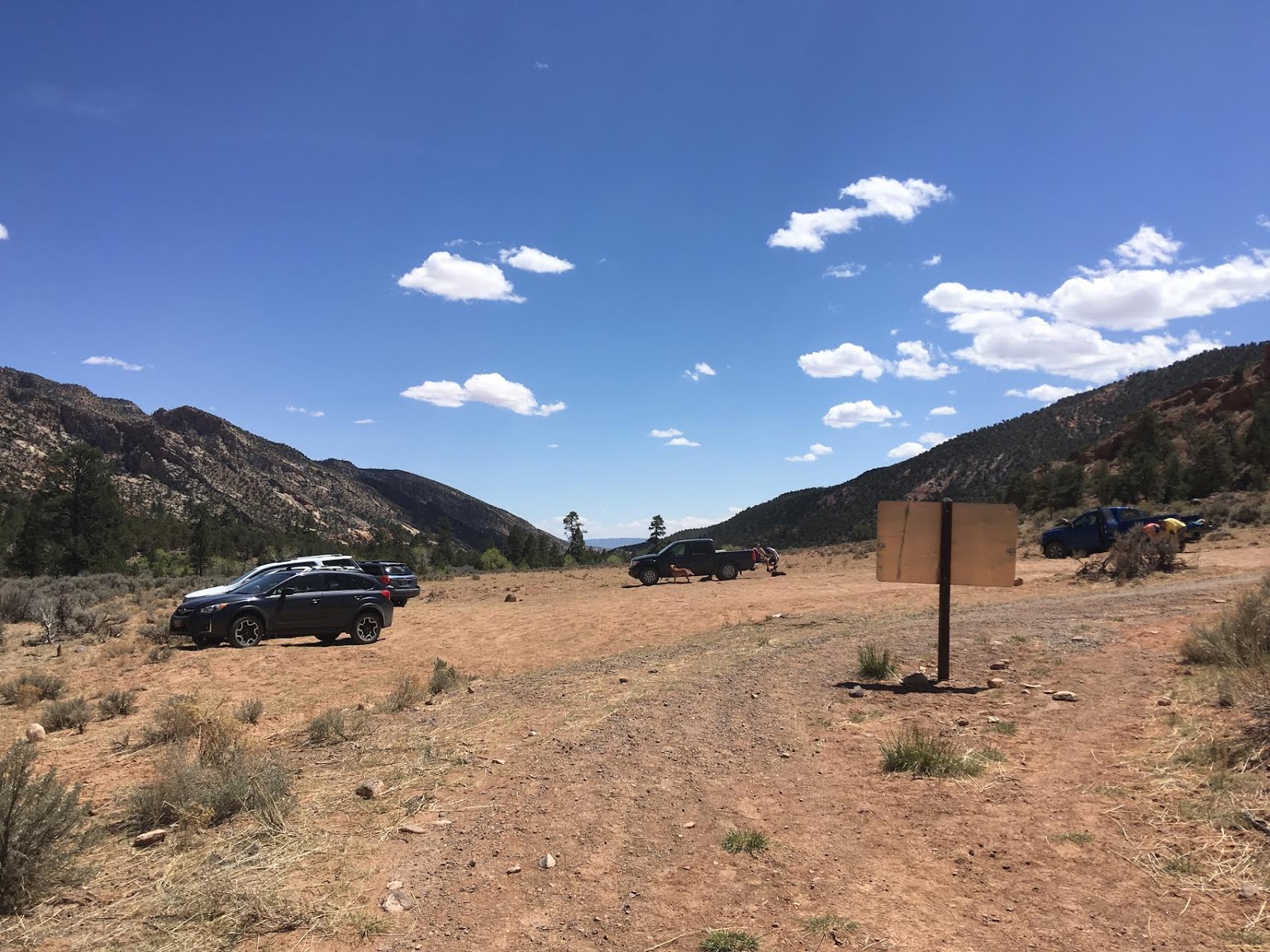
YAY!!!! Finally we made it back to our end point! It took us just over 4 hours with one 10 minute break. We had ice cold beer waiting for us in our ORCA cooler, and I immediately switched to my Chacos and pulled out my camp chair. So nice! I really loved this trail, can’t wait to do it again.
Trail Map
My track via Gaia GPS – the best tracking app! Get your app here for a discount.
Recommended Gear
Nearby Hike
The Ultimate Guide – Dog Friendly Hikes in Escalante, Utah!

Save me on Pinterest!
