
Directions
From Vernal, UT use this map.
Head North on Main St., then turn right onto 500 N Street. In 6 miles, veer left onto Diamond Mountain Road. This main road will turn into Jones Hole Road. Stay on this until you reach the Fish Hatchery. The trail starts from the parking lot, on the south side. The road is paved the entire way. There are no public restrooms at the TH.
Trail Info
Distance: 9 miles RT (including Ely Falls)
Elevation gain: 562 ft (on the way back to the TH)
Time: 4-6 hours
Dog friendly? No, dogs are not allowed on this trail.
Kid friendly? No, due to distance
Fees/Permits? None

First we checked out the main area, at the Quarry Visitor Center. We camped at the Split Mountain Campground, then headed over to the Jones Hole area, which is about an hour away.
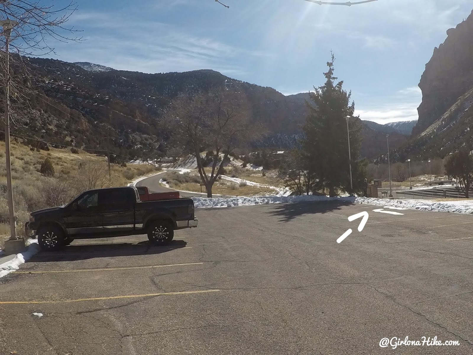
Park in the main lot, then walk towards the SW corner and you’ll see some stairs.

Now you’ll see the official signs for for trail.
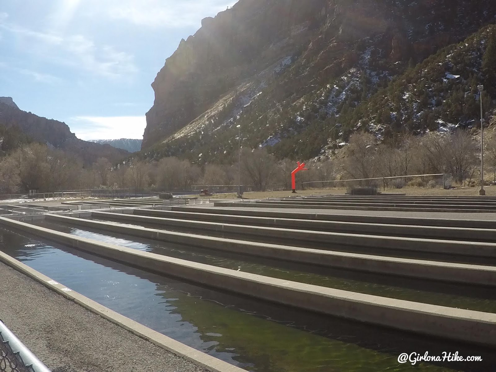
Walk alongside the fish hatchery and metal fences.
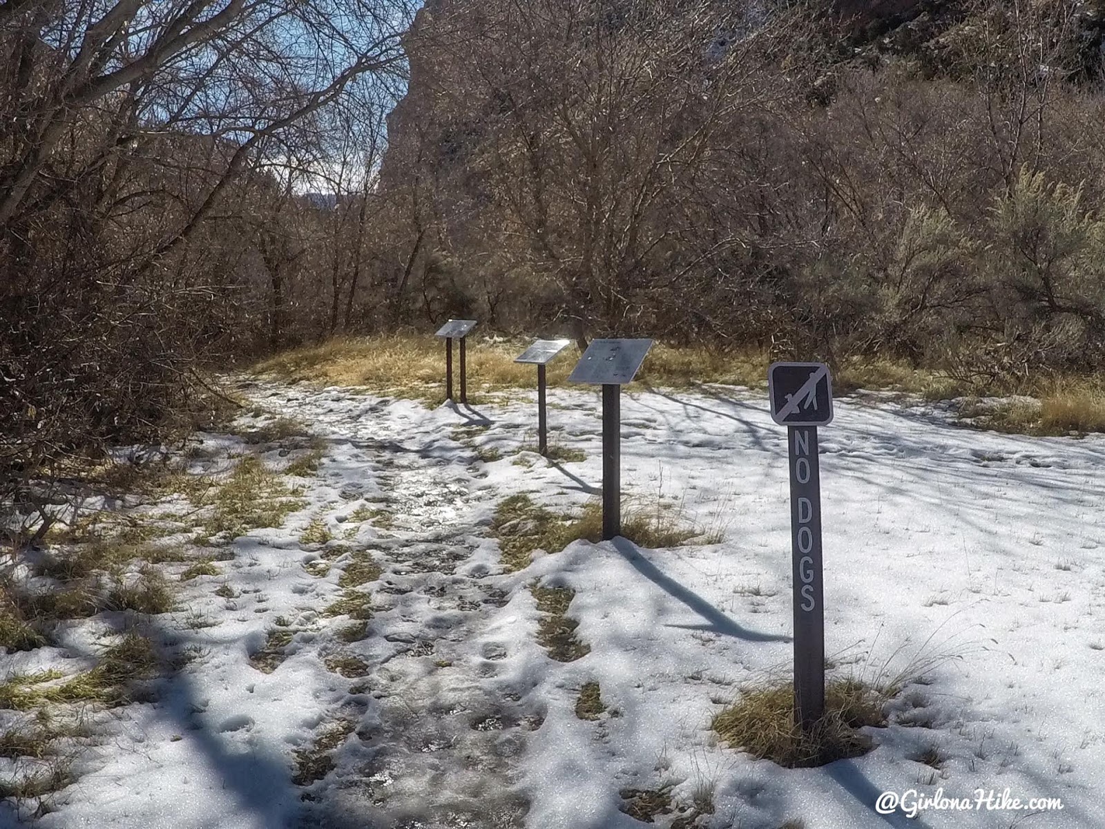
Pass some more trail signs. Sadly, no dogs are allowed on this trail. Charlie was home with his Dad for this trip.

You’ll immediately see the creek, and the canyon begins to deepen and the walls get taller.
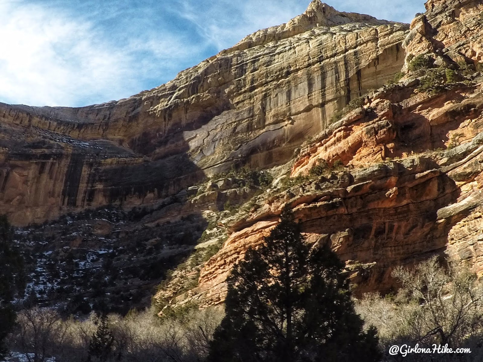
This canyon is so pretty!
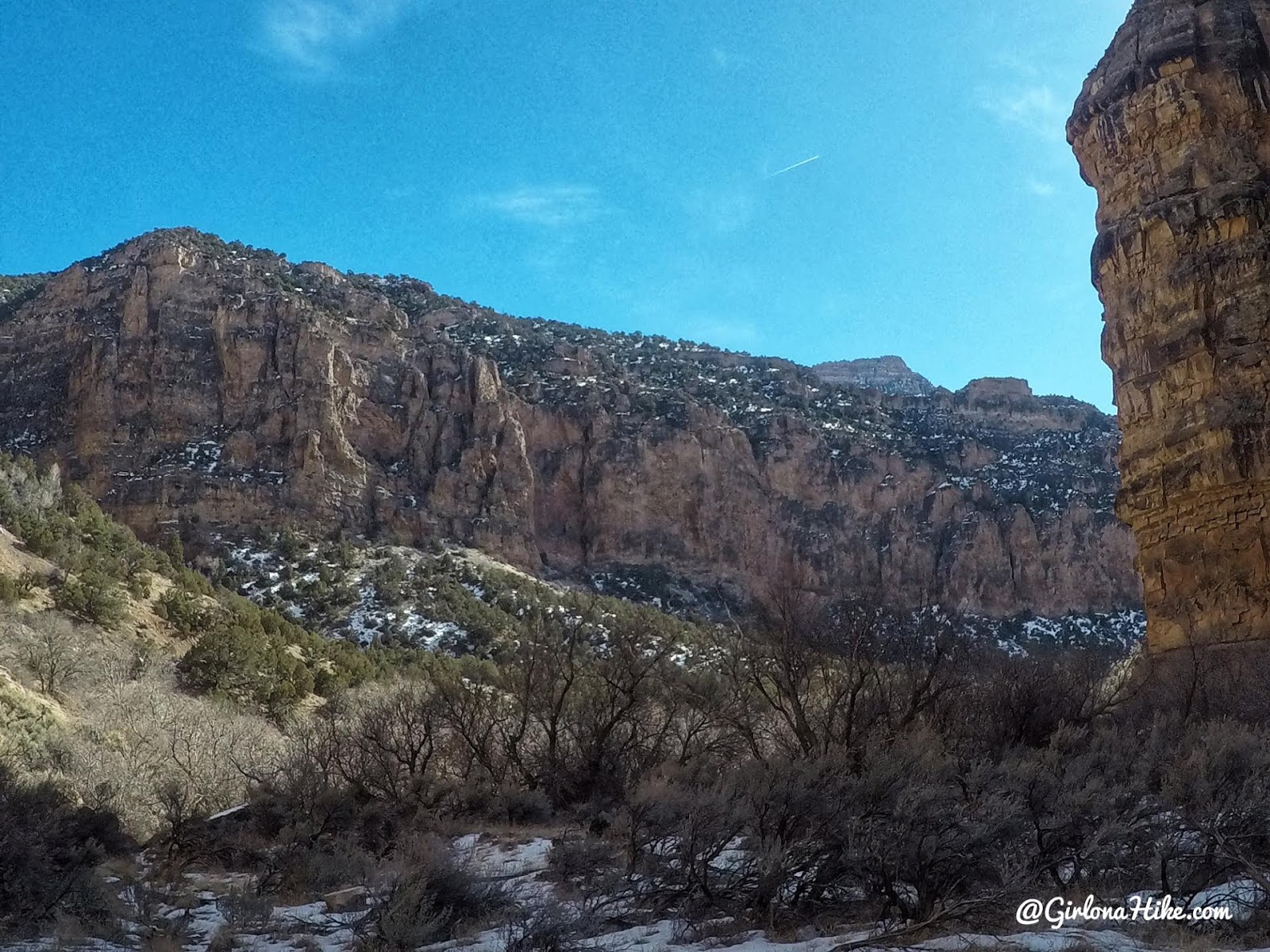
The trail is really easy to follow, and once again the canyon opens up.
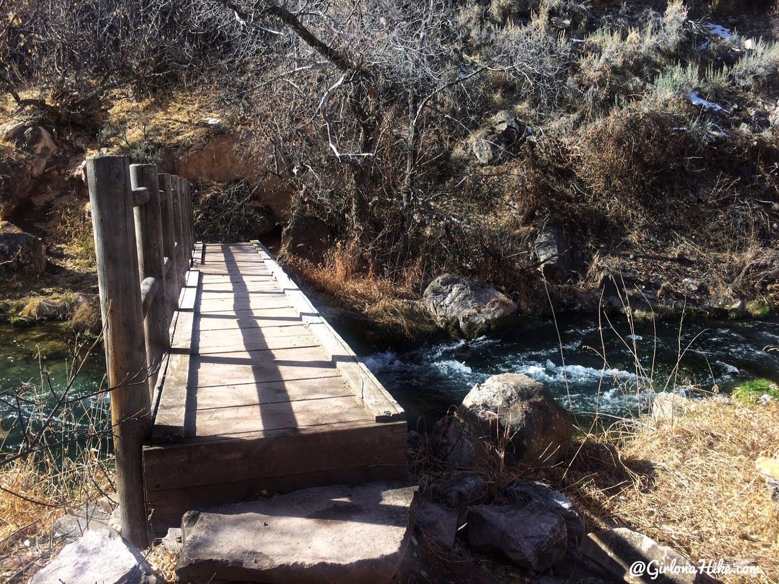
Cross the one and only bridge.
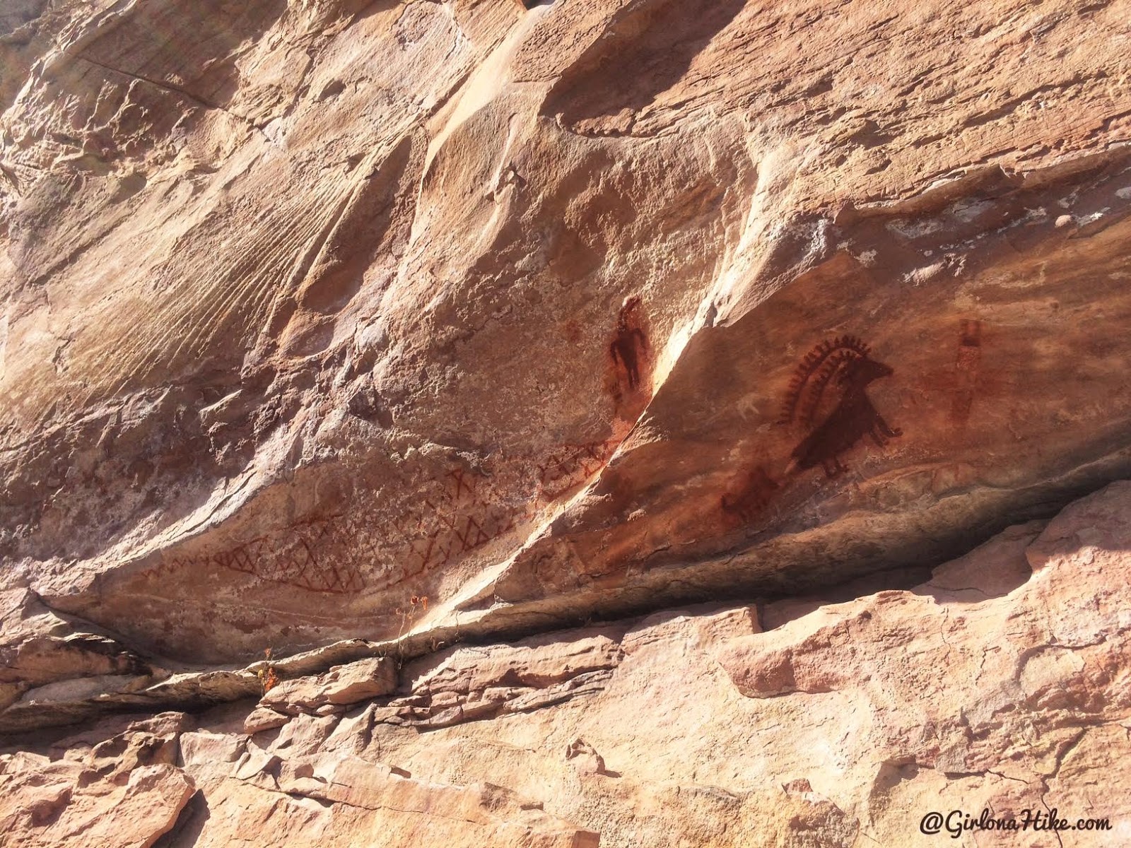
Just after the bridge, on your right side, you’ll see some faint side trails leading up to the rock. This is where all the pictographs are located (see map below), This big horn sheep is the most famous out of all of them. Just a reminder that touching or removing rock art is illegal.
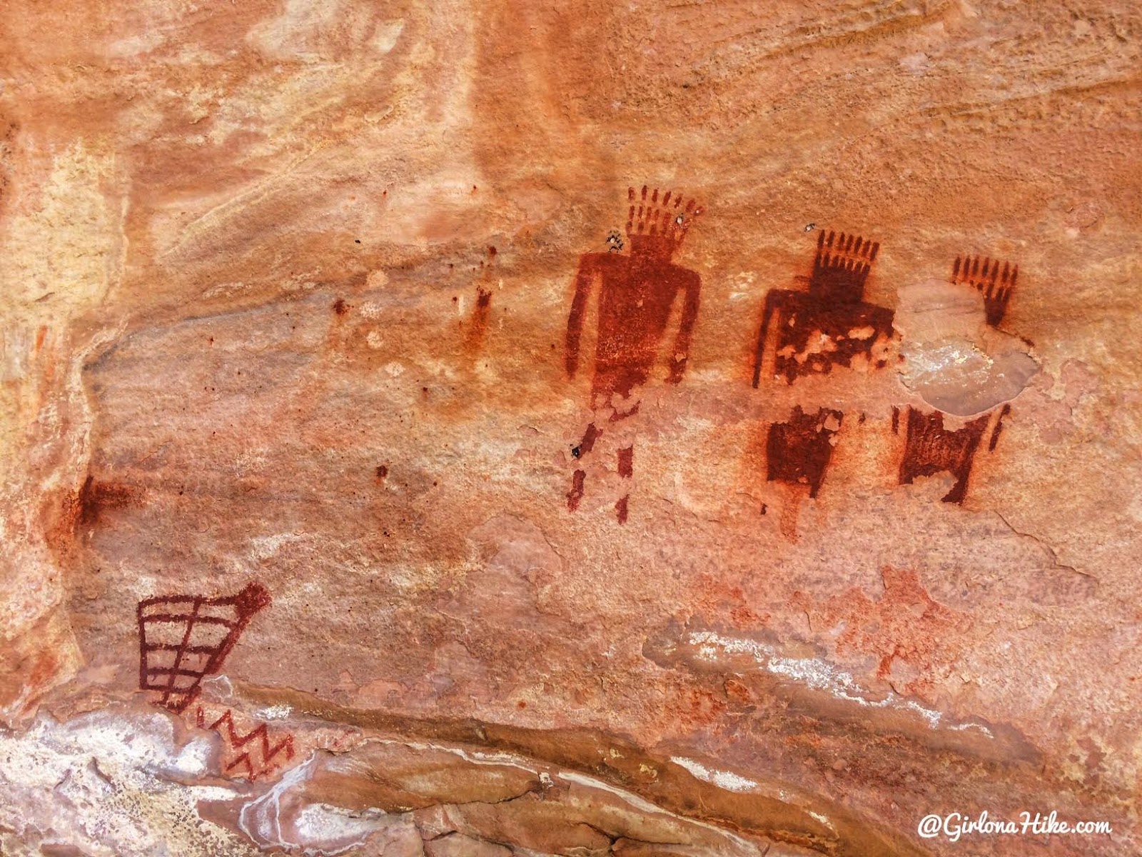
More pictographs, made by the Fremont culture.
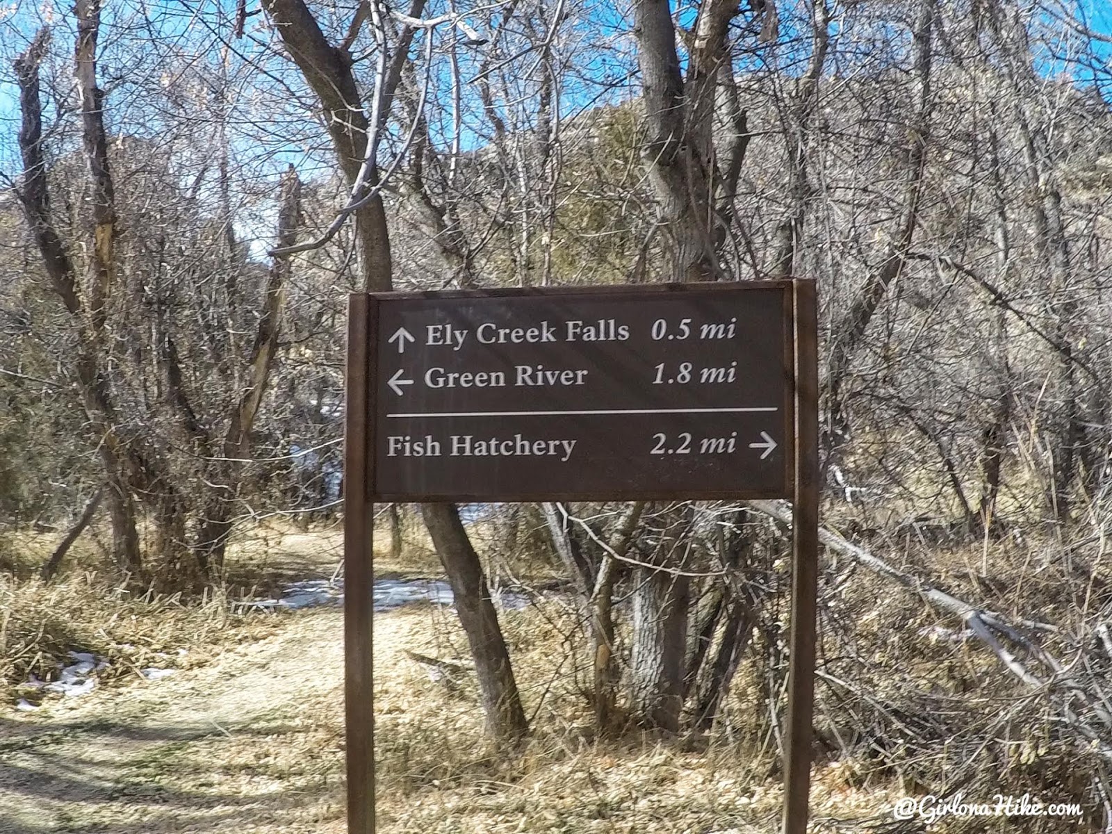
Roughly half way to the Green River, you’ll see the trail split sign for Ely Falls. The sign says 1/2 mile, but it felt like 1/2 RT, not one way. It only took us about 15 minutes RT to see it. I would highly suggest stopping by to see them.
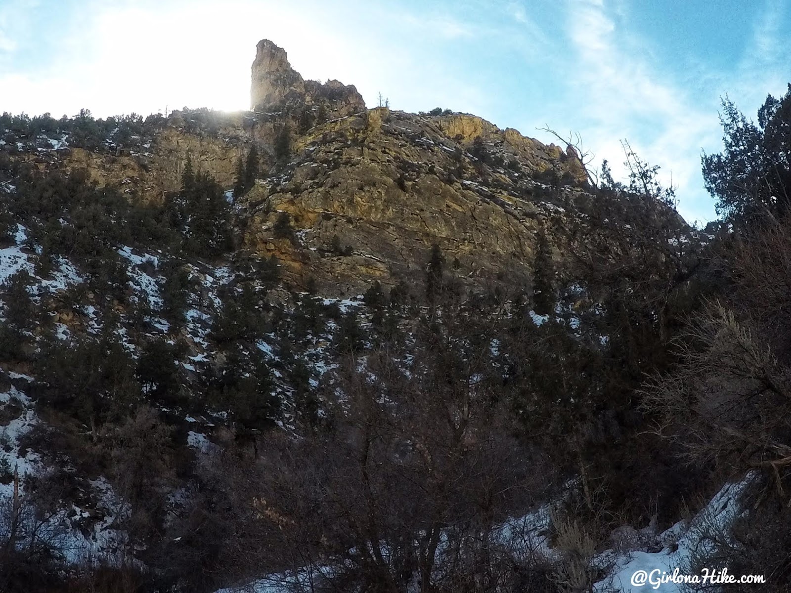
On the way to Ely Falls.
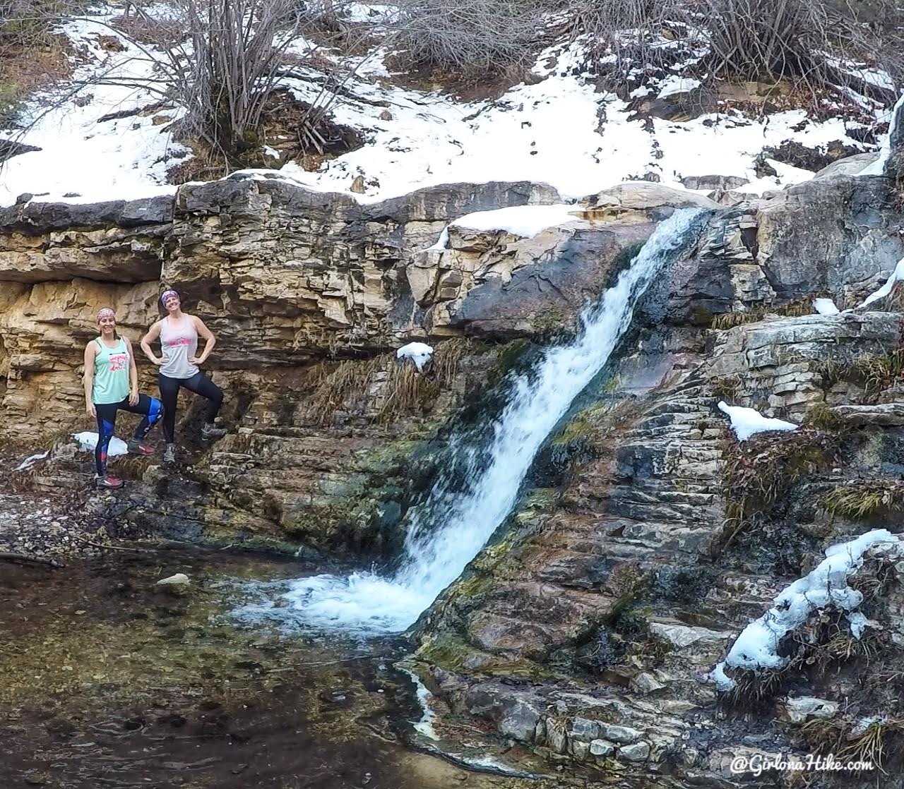
Ely Falls was much smaller and shorter than I pictured, but still a fun side trek. I bet in the middle of summer this would be so fun to stand under and cool off!
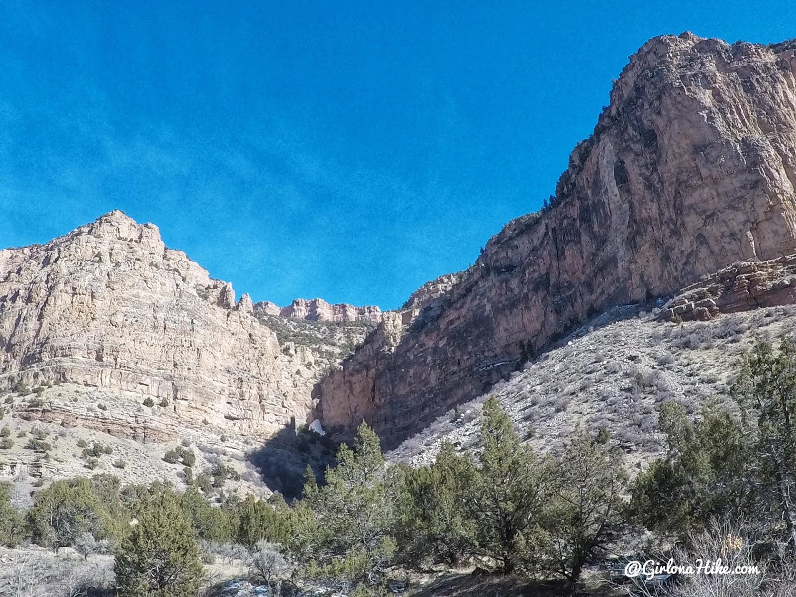
Back on the main trail, you’ll pass the small campsite on your right (not pictured). There’s also a port-a-potty there. You do need a backcountry camping permit to camp there, which can be picked up at the Quarry Visitor Center.

So nice to be in tank tops in February!

Eventually the trail opens up more.

Keep following the main trail as you approach the Green River.
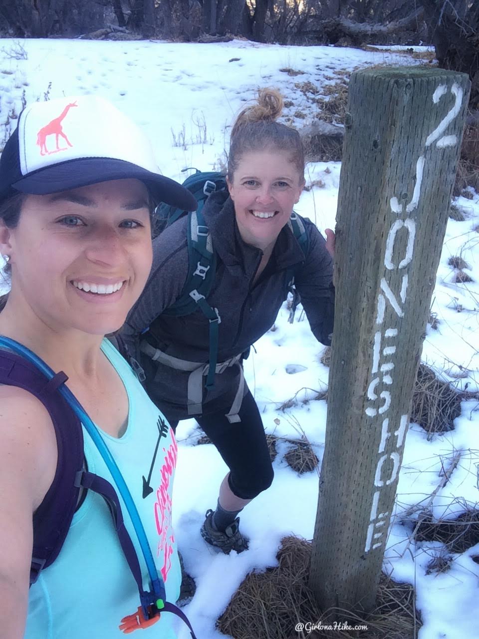
Reach the official TH end!
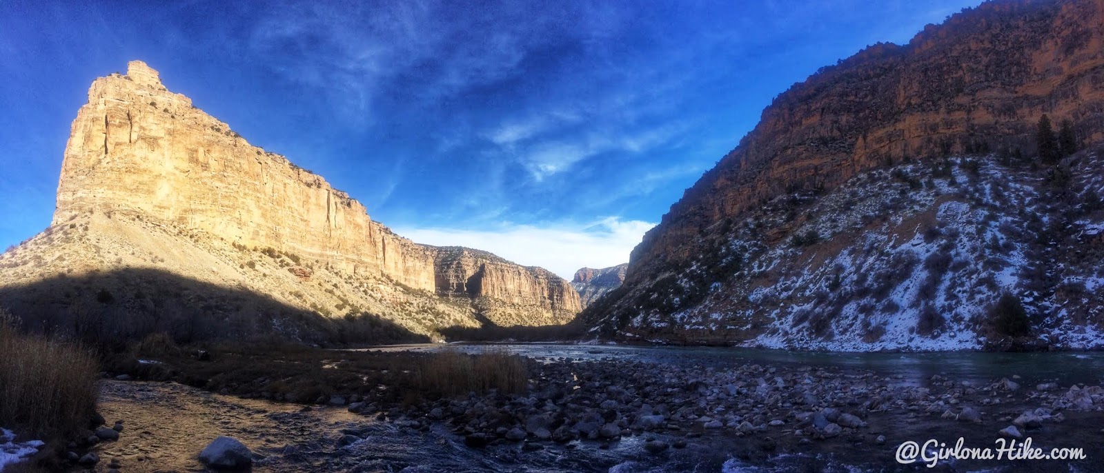
Pano of the Green River looking East.
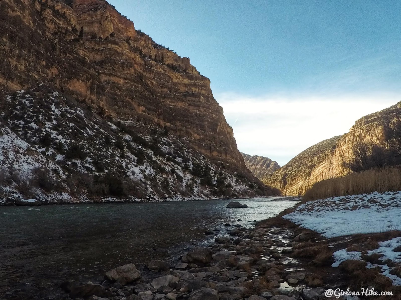
At the Green River looking West.
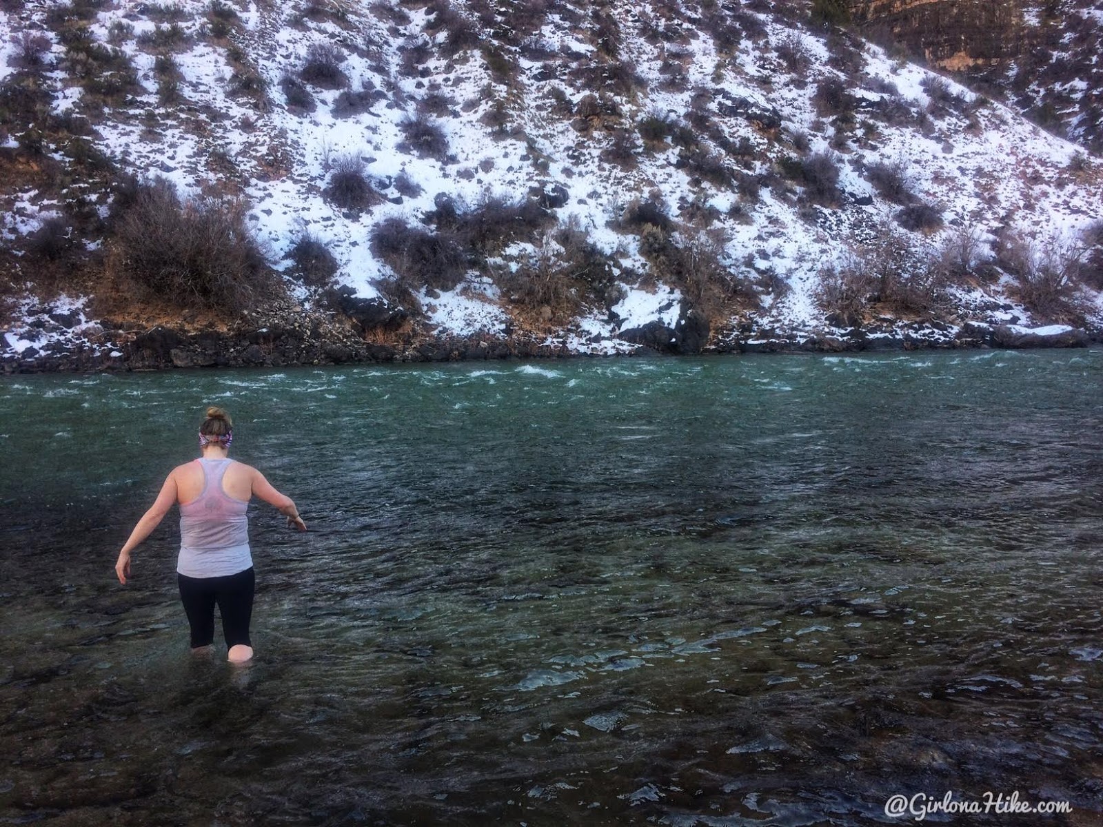
As you know by now, Lindsay will swim anywhere, any time, any month. Be careful of swimming here, as the current is very strong. She walked out far enough to just where she could dunk.
Trail Map
My track via Gaia GPS – the best tracking app! Get your app here for a discount.
Recommended Gear
Nearby Hike
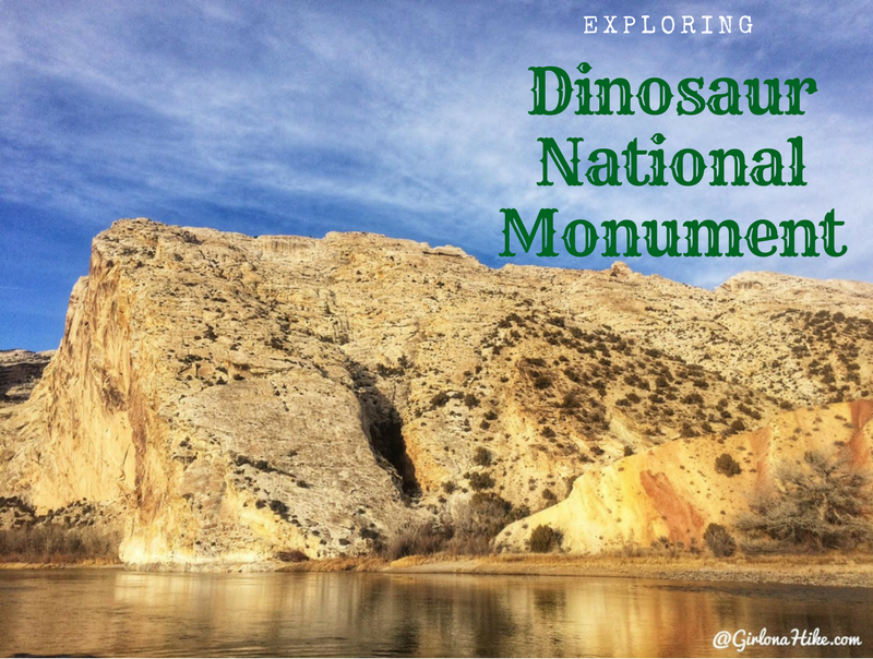
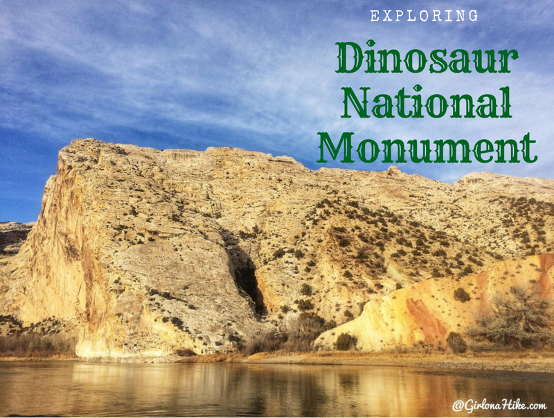
Exploring Dinosaur National Monument

Save me on Pinterest!
