
Shelly Baldy Peak (11, 321 ft) is one of the many prominent peaks located in the Tushar Mountains within Fishlake National Forest.
About
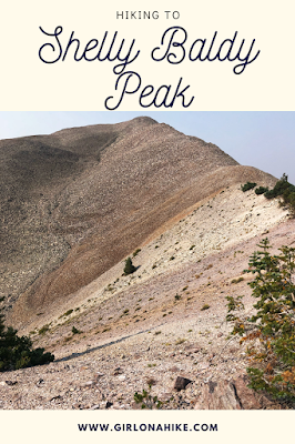
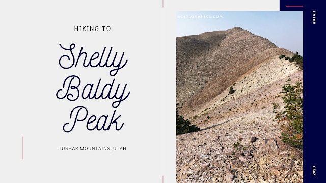
Shelly Baldy Peak (11,321 ft) is one of the prominent peaks in the Tushar Mountains within Fishlake National Forest. While it’s not in the top 5 for the tallest peaks in the area, the easy North ridge approach offers incredible 360-degree views. It’s a short, 2-mile hike that brings you to a rocky ridge with amazing views.
Hike Overview
The hike begins at Mud Lake trail, which takes you for a mile. From there, you veer off the trail, following the ridge to the summit. While this hike is relatively short, the rugged terrain and steep inclines require extra caution, and it took us nearly an hour to reach the summit. On the day of the hike, a haze from nearby fires settled over the range, reducing visibility. Despite this, we pressed on, taking it easy and pacing ourselves due to the smoky air. Strong winds made the ridge section a bit challenging, but we were able to keep going.
Dog-Friendly Trail
If you’re bringing a dog, keep in mind that the trail is off-leash friendly. However, be cautious if your dog isn’t used to uneven boulders. I recommend dog booties as a backup in case they hurt their paws. My dog Charlie is used to hiking on rough terrain but even he had to be careful in this section. There is no water source along the trail, so bring plenty of water for both you and your dog.
Weather Considerations
While we had hoped for clear skies, smoke from nearby fires quickly rolled in, reducing visibility. The haze was thick, and the wind picked up, making the hike a bit more strenuous. Nonetheless, we managed to get to the top and enjoy the views from the summit. Just be prepared for any weather conditions and adjust your plans accordingly.
Directions
Drive south on I-15 and take exit 112 in Beaver, UT. Turn left, and drive on Main St. for 1.6 miles. Turn left for UT-153, and drive 16.3 miles. Just past mile marker 16, look for the dirt road turning off to the North side of the road and turn here. Reset the odometer. The road is a well-graded, dirt road. 4×4 cars are recommended, but a small, compact car can make it only if the road is totally dry. Call the Beaver Ranger station before heading out to check road conditions & to make sure the winter gate at Poison Creek is open, at 435.896.9233.
Directions to Mud Lake/TH
0.3 miles – stay left at the first road split
0.8 miles – pass the metal gate
2.4 miles – keep left
3.3 miles – Pass the Paiute ATV Trail, and the road curves right, pass Big John Flat, pass the first pit toilet, and cross a cattle guard
4.3 miles – pass a 2nd pit toilet
4.7 miles – pass the Skyline Recreation TH
5.0 miles – drive past Griffith Creek (it may be completely dry in Summer/Winter)
5.6 miles – reach the last winter gate
6.7 miles – reach the trailhead at Mud Lake
Total drive time from SLC is about 4 hours. Here is a driving map to Mud Lake/Trailhead. If the winter gate is closed, you could still hike to the peak, just add on another 1.1 miles each way.
Trail Info
Distance: 4 miles RT
Elevation gain: 441 ft
Time: 2-3 hours
Dog friendly? Yes, off leash (read more below)
Kid friendly? Ages 12+
Fees/Permits? None
Hiking Shelly Baldy Peak: What to Expect
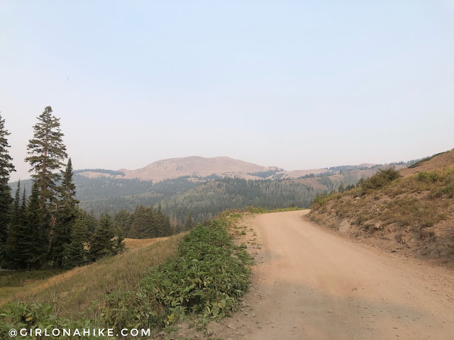
Driving to the Mud Lake TH just past the winter gate, with a view of your destination.
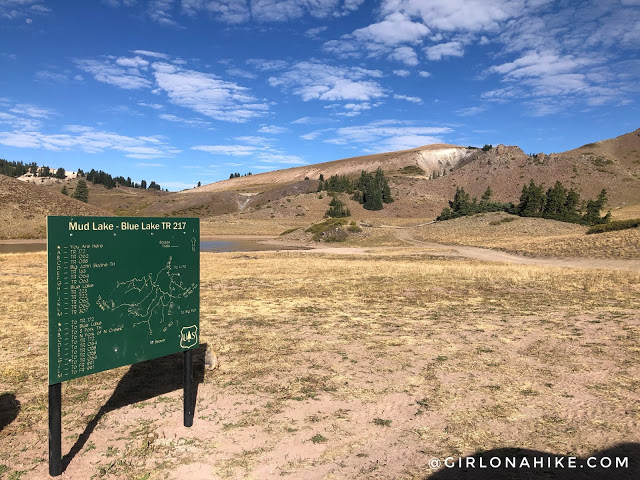
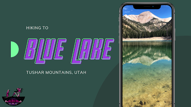
Mud Lake TH. Notice the sky was clear and blue? This was taken the day before when we hiked to Blue Lake.
When you reach the trail split in 0.6 miles, stay straight.
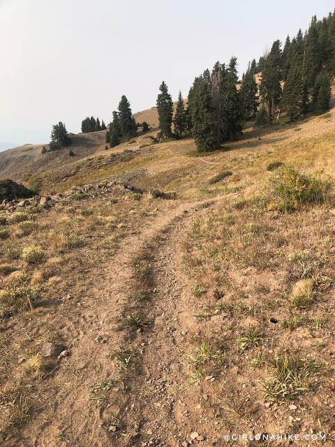
You can clearly see the trail ahead, but nothing else! The smoke was so bad.
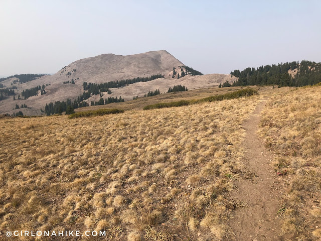
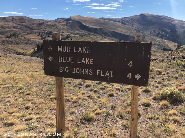
Turn a corner, and now you will have your first really good view of the ridge you will hike up.
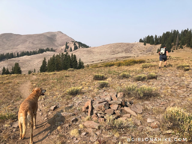
Around 1 mile, you will need to leave the trail. There are several of these large cairns so just pick a spot that looks good and keep aiming for the ridge.
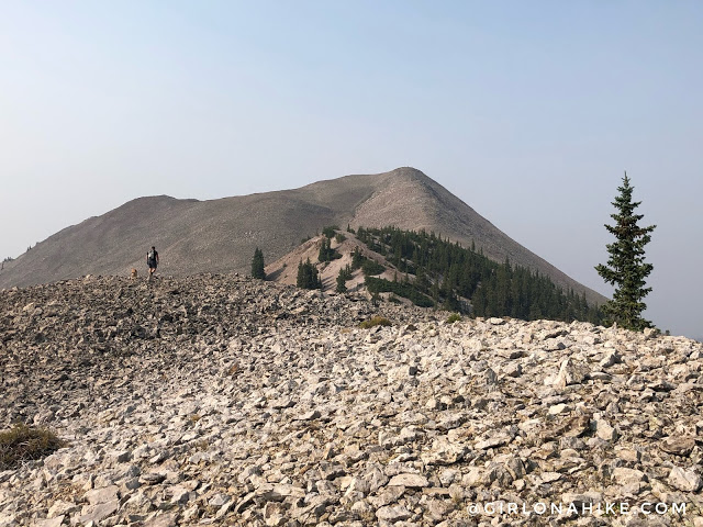
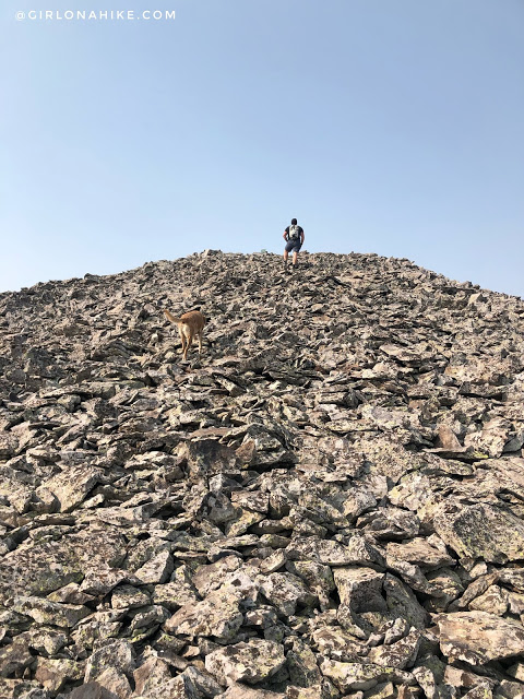
Time for the boulder field! All these rocks are very uneven, unlike Uintas boulders.
Hike up the really steep ridge, and reach this one flat section. This was my favorite view of the peak because I love seeing the color variations in the rock.
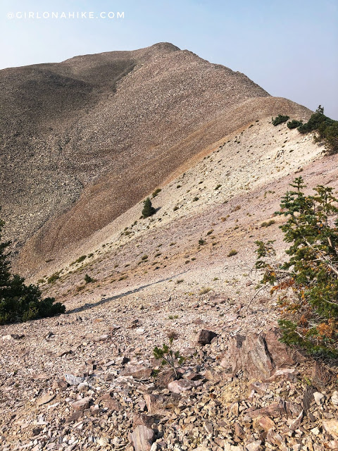
Keep hiking up the ridge, watching your steps carefully over these boulders. It was extremely windy for us on this section.
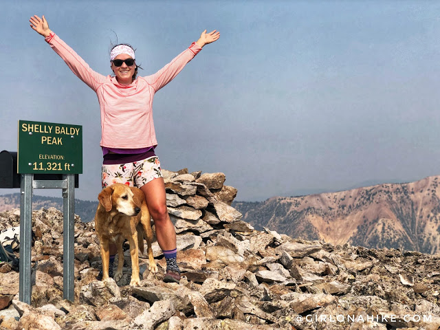
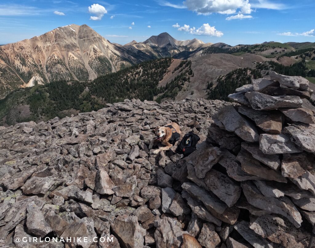
Summit! There is a giant mailbox right behind this sign to register yourself on the peak.
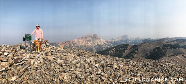
Whew, that haze from all the fires is so bad…
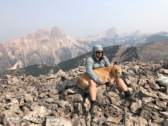
Charlie is used to hiking peaks with boulders, but these rocks seemed a little sharper so he got to take a break in his dads lap before going back down. I would say that if your dog isn’t used to boulder hopping or generally has sensitive paws with no calluses, don’t take them on this one. Or, just bring dog booties and a first aid kit as a backup.
July 2023
I wanted to go back and see Shelly Baldy Peak without the smokey air! It was still really pretty.
Check out my video!
Trail Map
My track via Gaia GPS – the best tracking app! Get your app here for a discount.
Nearby Hike
Hiking to Blue Lake, Tushar Mountains


Save me on Pinterest!